Webcams in the region of Laurel Hill (historical), Virginia, USA
The List of Webcams near Laurel Hill (historical), Virginia, USA:
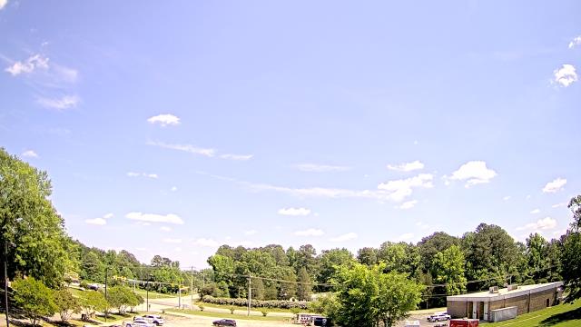
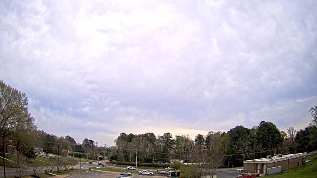
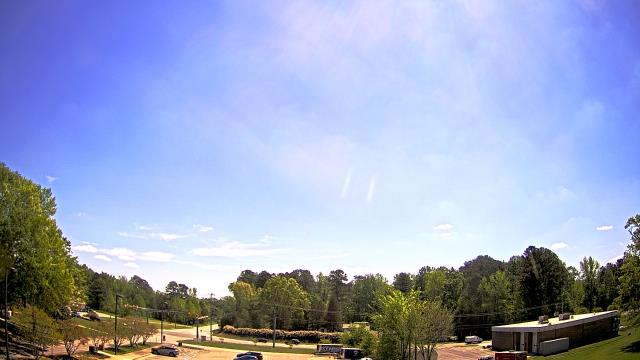
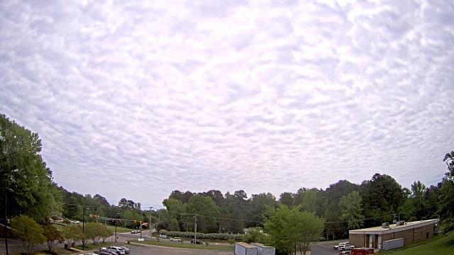
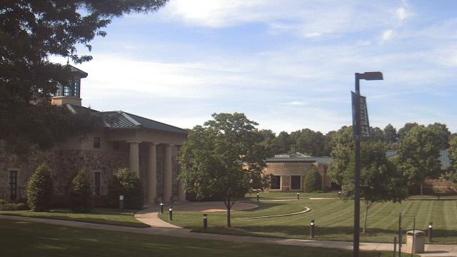
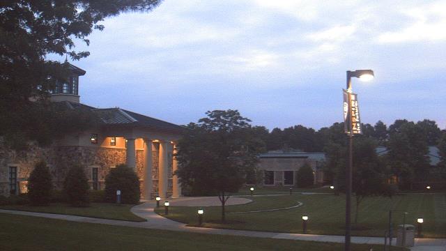
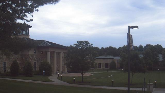
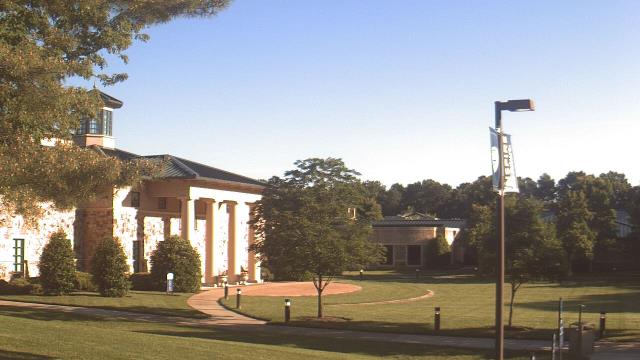
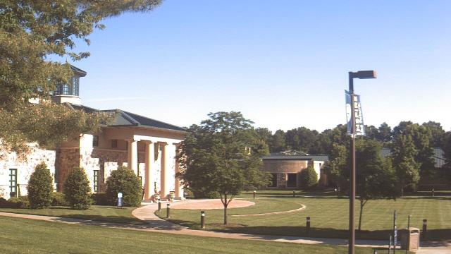
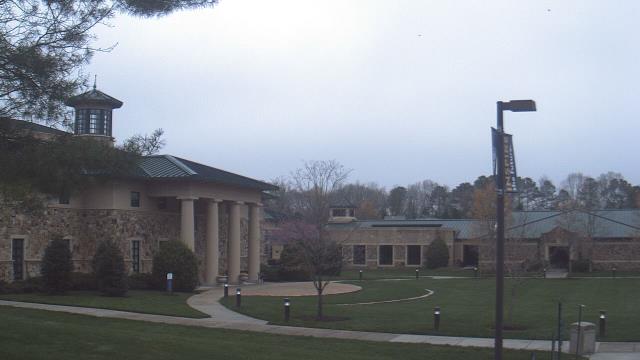
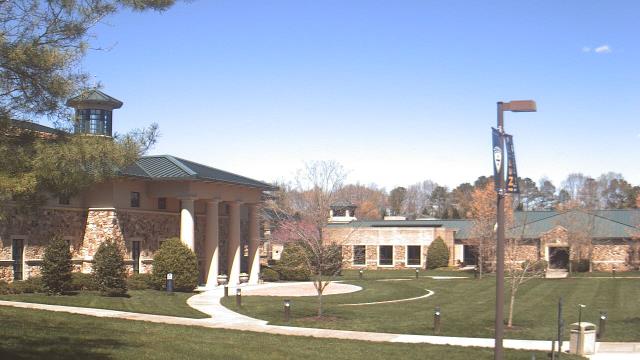
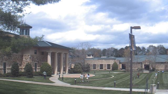
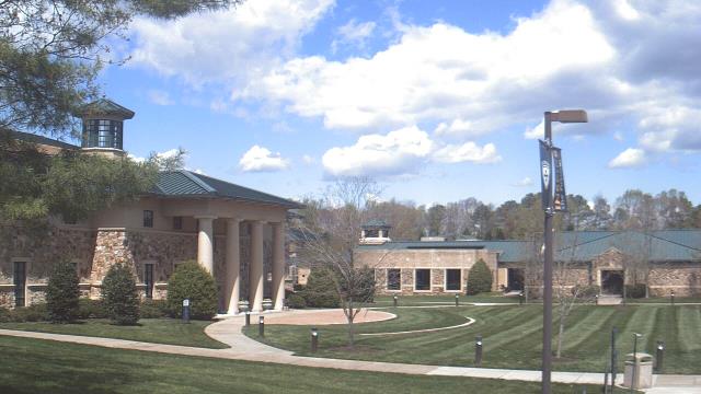
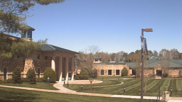
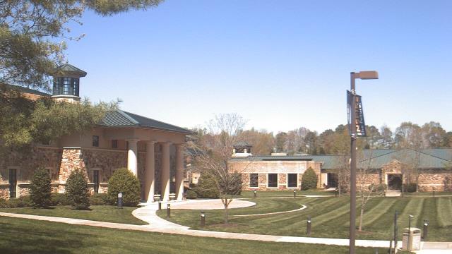
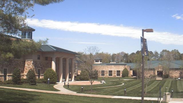
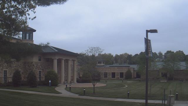
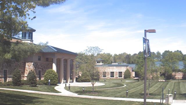
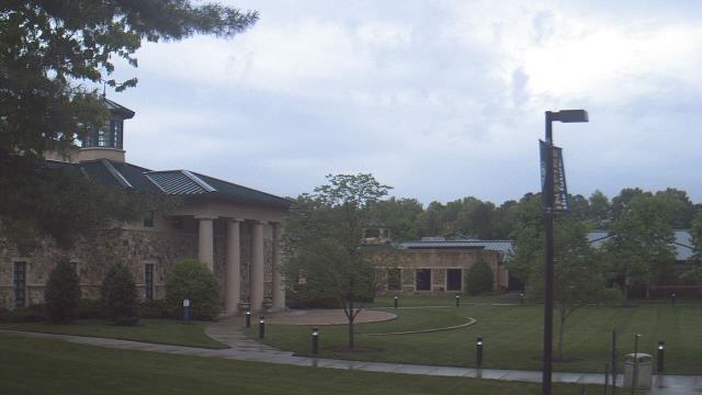
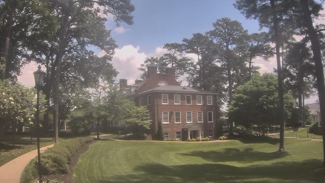
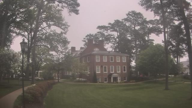
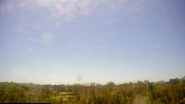
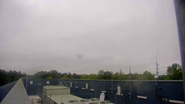
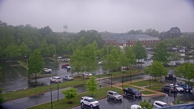
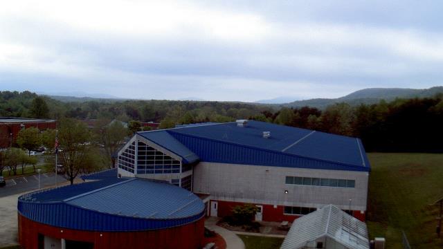
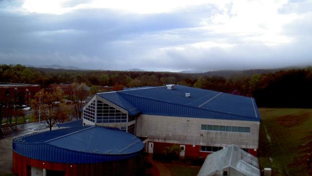
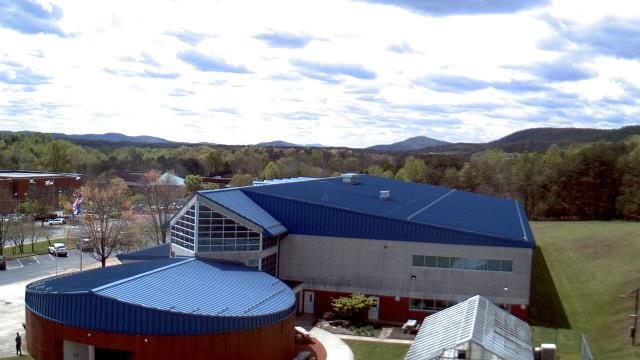
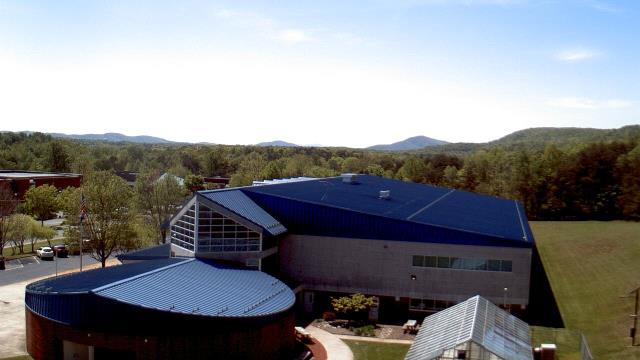
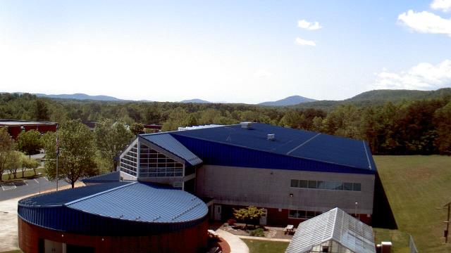
Goochland, Virginia, USA - 47.8 miles from Laurel Hill (historical): Byrd Elementary School - A webcam in Goochland, Virginia - camera location: Byrd Elementary School.
Operator: WeatherBug
Operator: WeatherBug


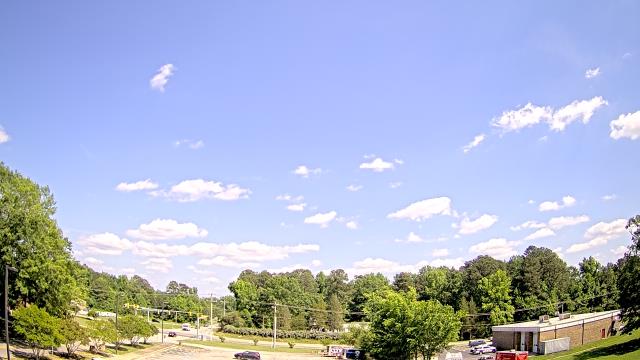
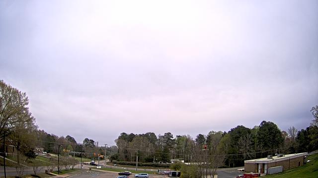
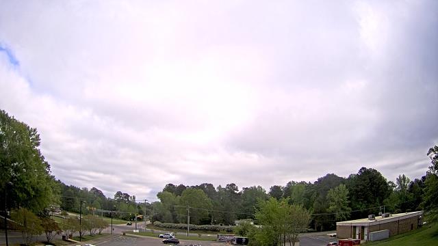
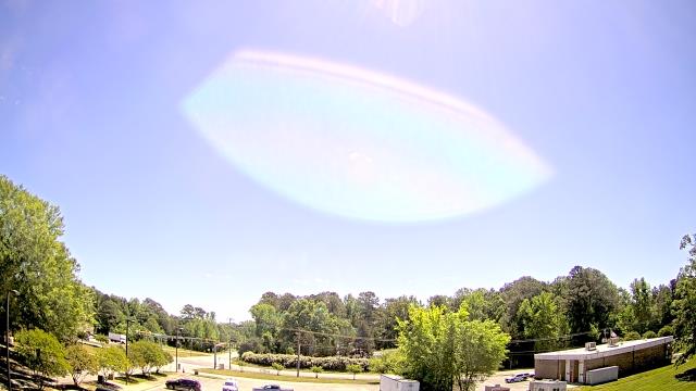
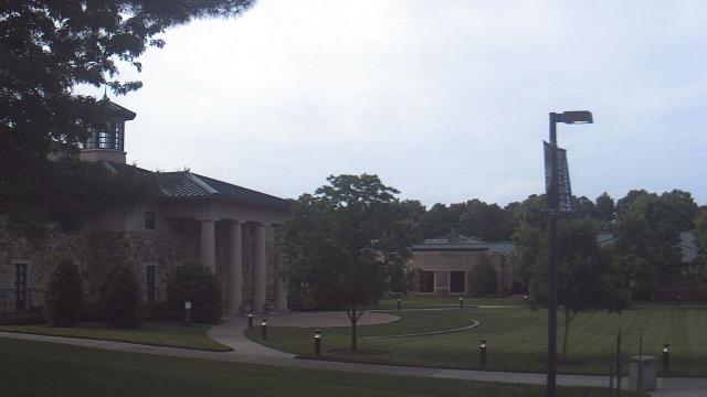
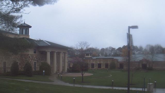
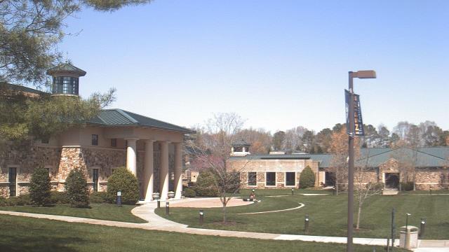
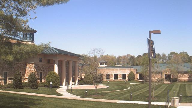
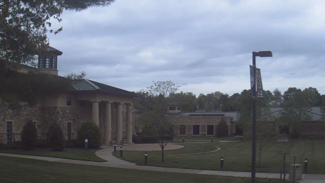
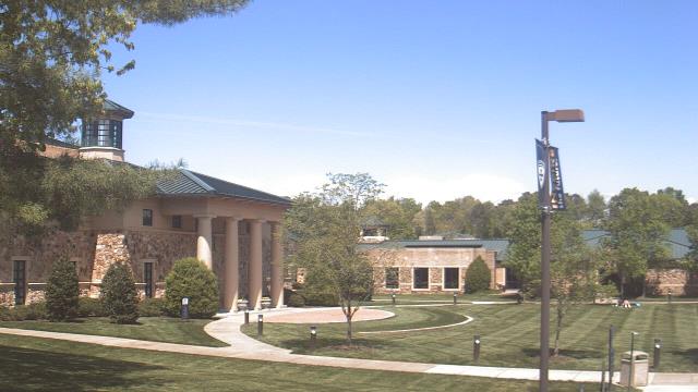
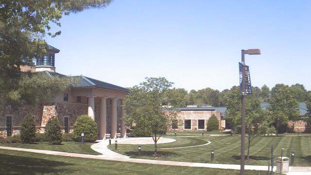
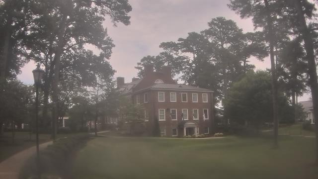
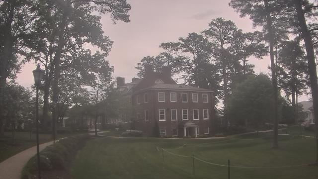
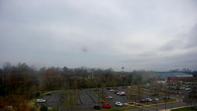
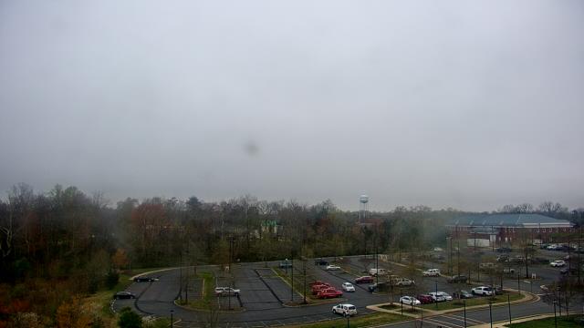
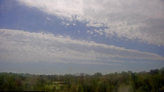
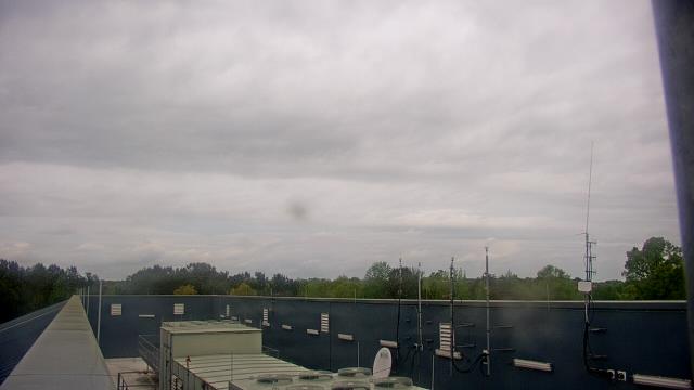
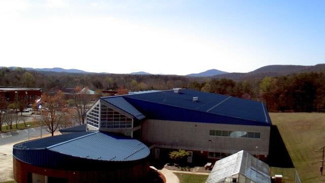
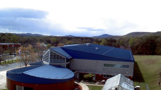
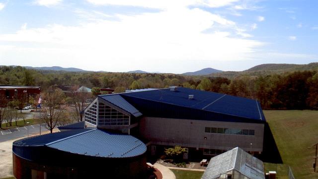
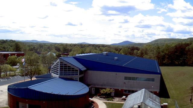
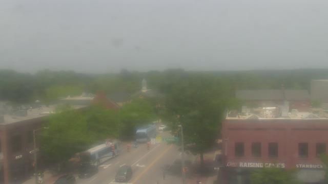
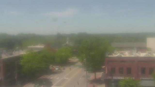
Prince George, Virginia, USA - 54.1 miles from Laurel Hill (historical): Prince George County EOC - A webcam in Prince George, Virginia - camera location: Prince George County EOC.
Operator: WeatherBug
Operator: WeatherBug
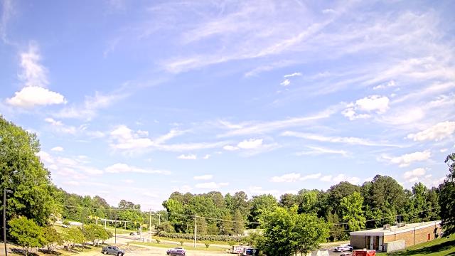
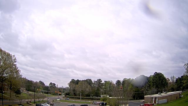

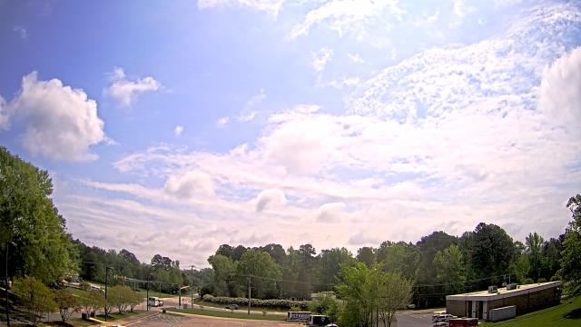
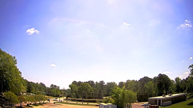

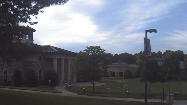
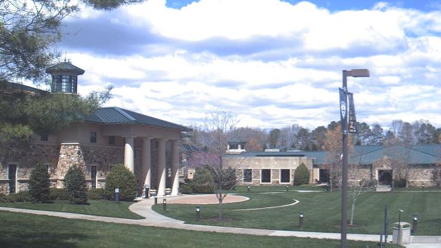
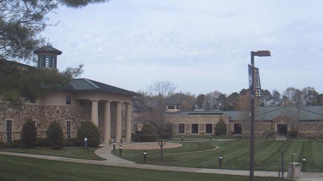
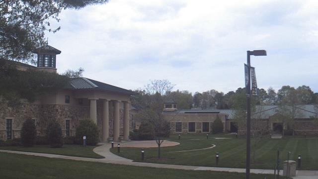
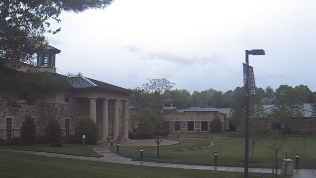
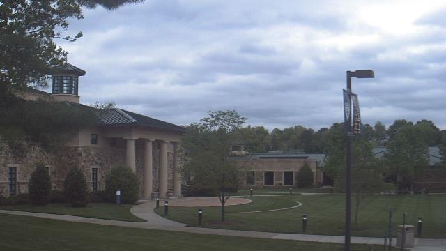
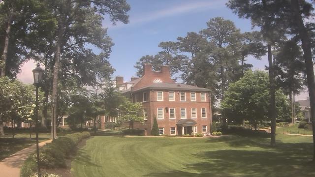
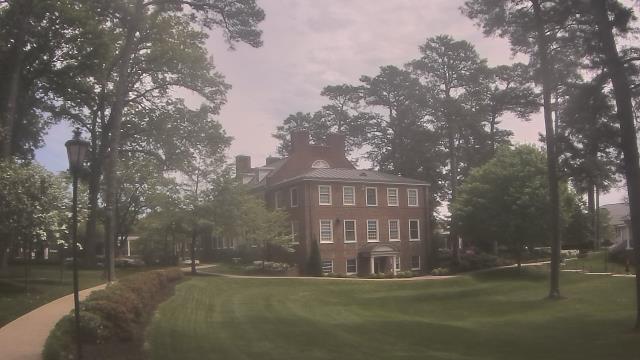
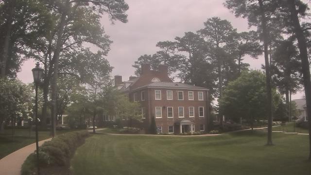
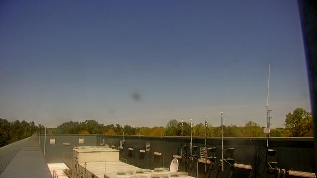
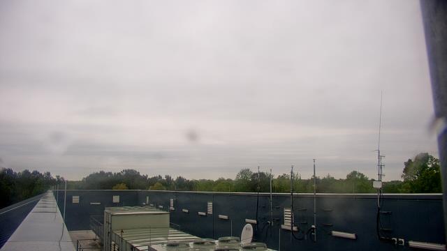
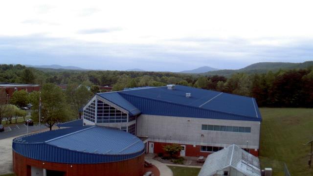
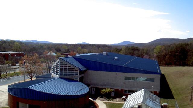
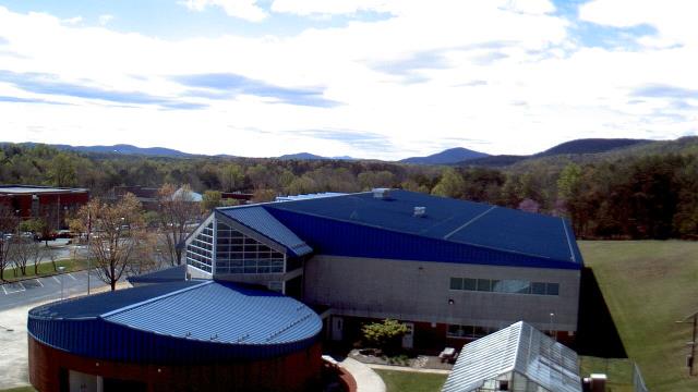
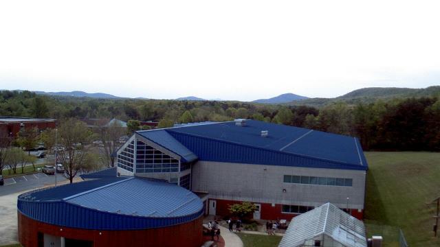
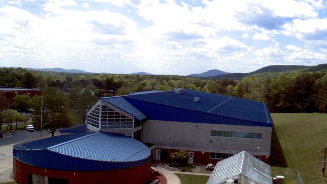
Richmond, Virginia, USA - 54.8 miles from Laurel Hill (historical): The Steward School - A webcam in Richmond, Virginia - camera location: The Steward School.
Operator: WeatherBug
Operator: WeatherBug
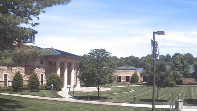
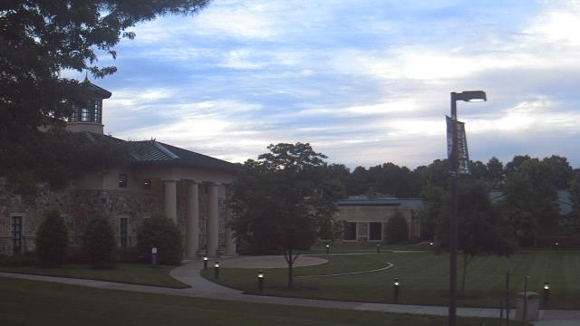


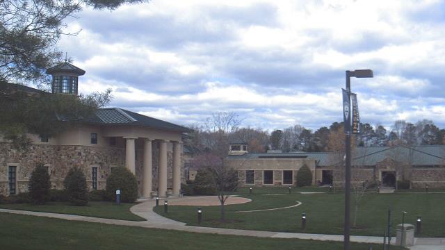
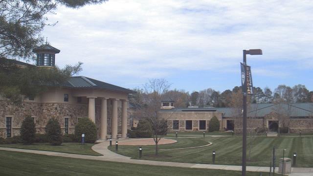
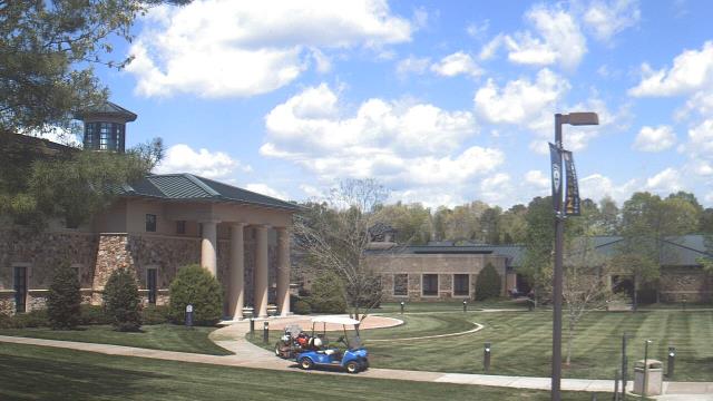
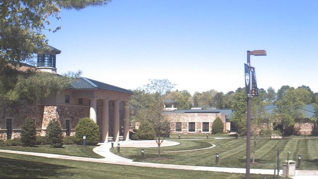
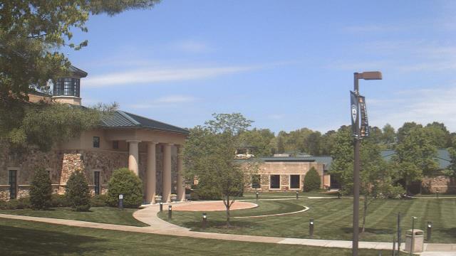
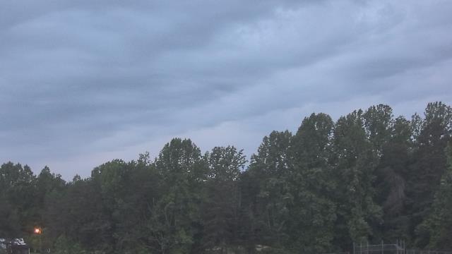
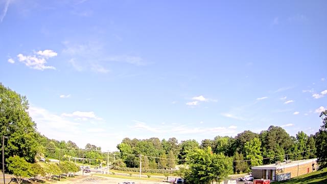
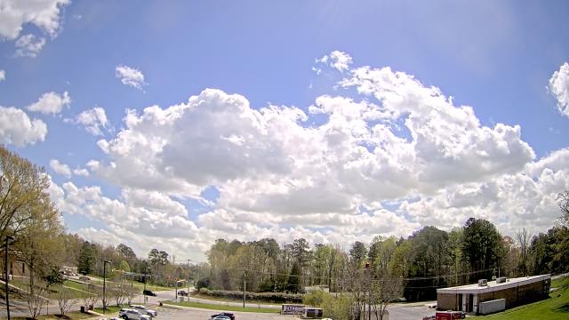
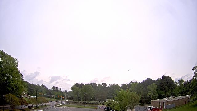
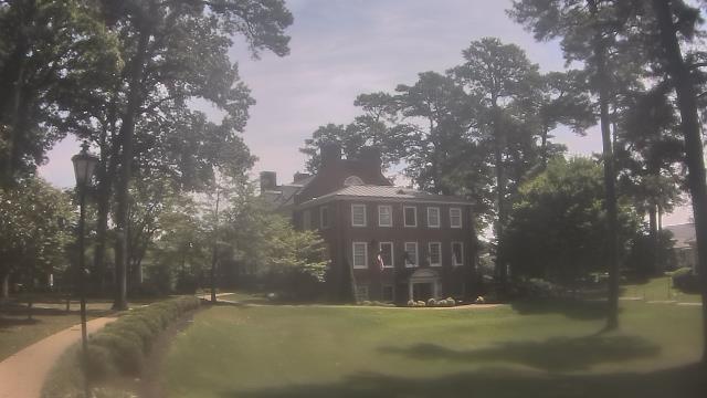
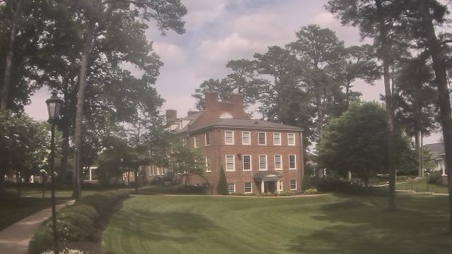
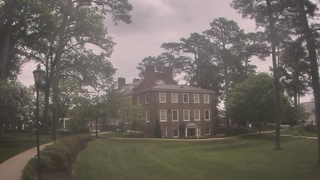
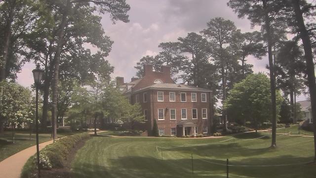
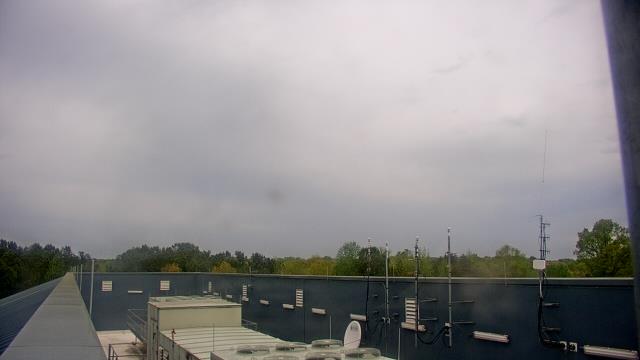
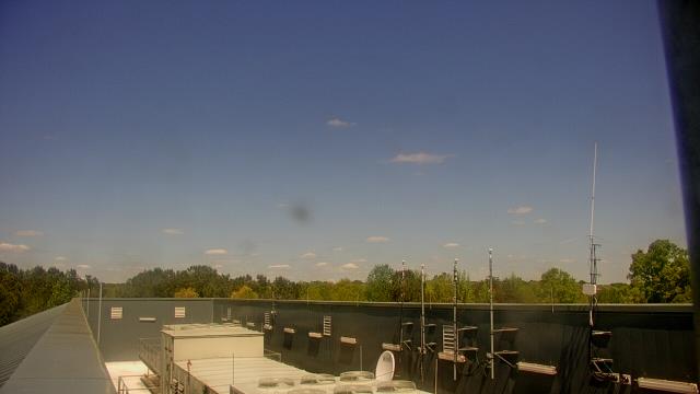
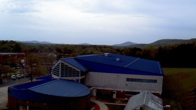
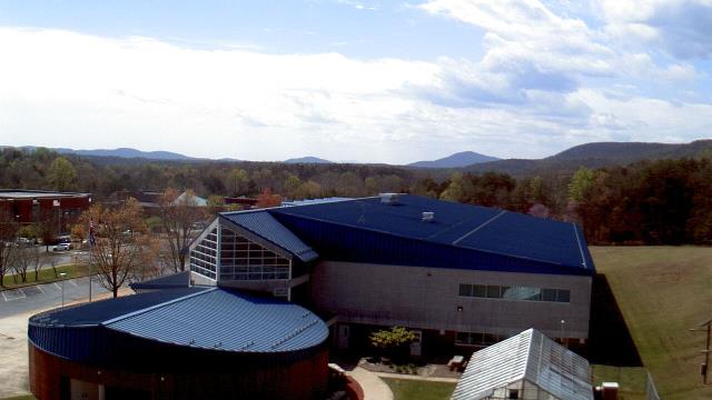
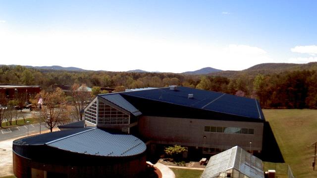
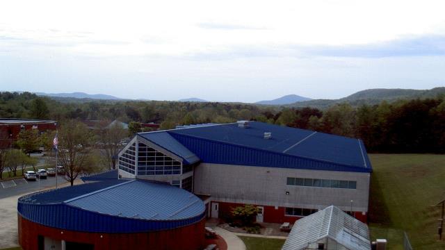
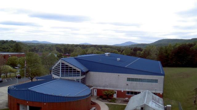
Richmond, Virginia, USA - 54.8 miles from Laurel Hill (historical): St. Christophers School - Webcam and current weather data - camera location: St. Christophers School.
Operator: WeatherBug
Operator: WeatherBug


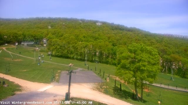
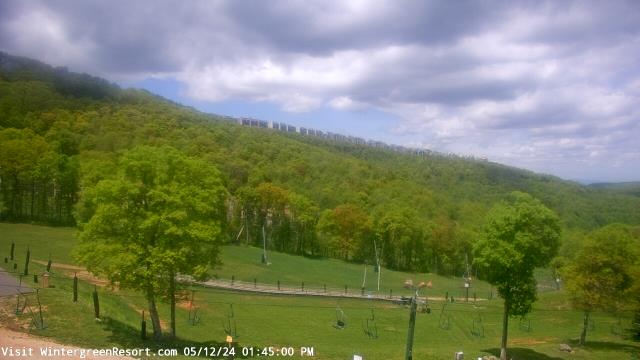
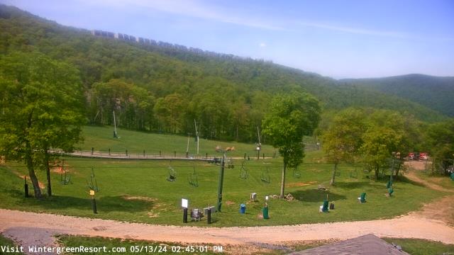
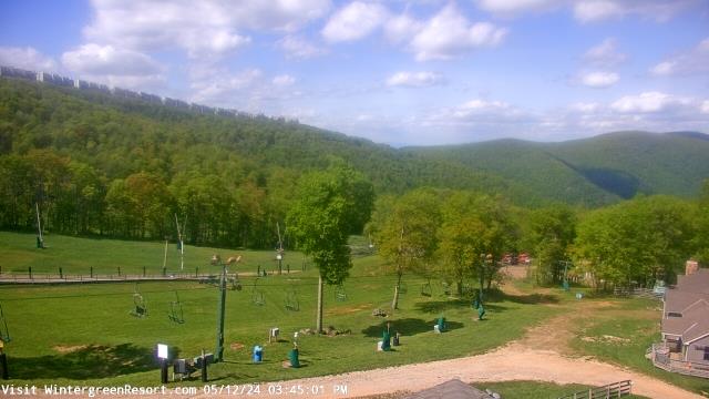
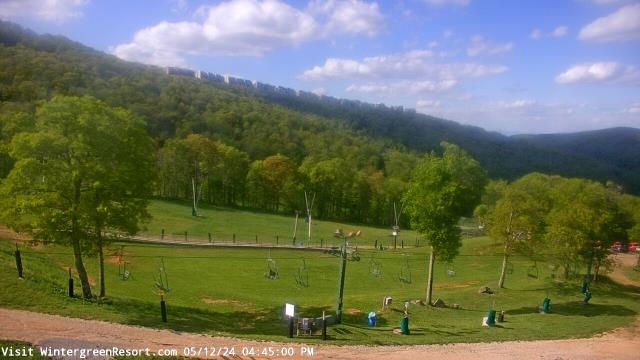
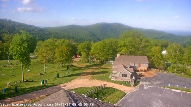
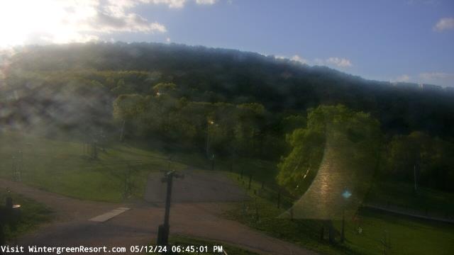
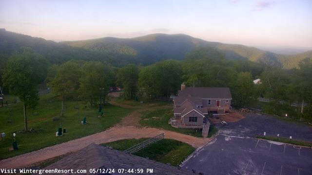
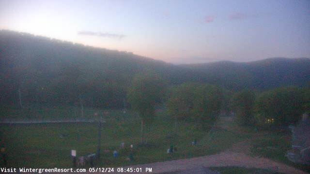
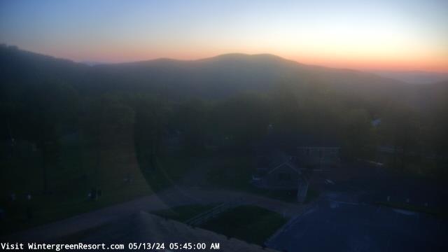
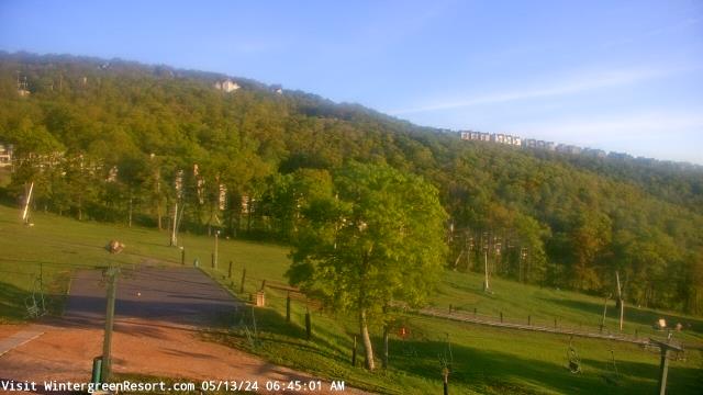
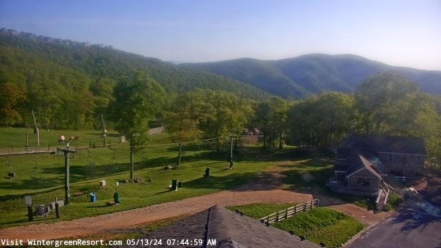
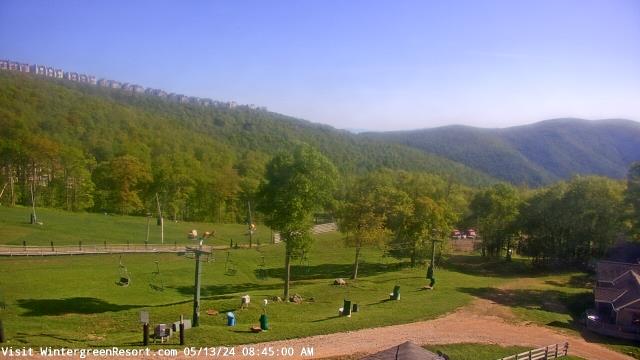
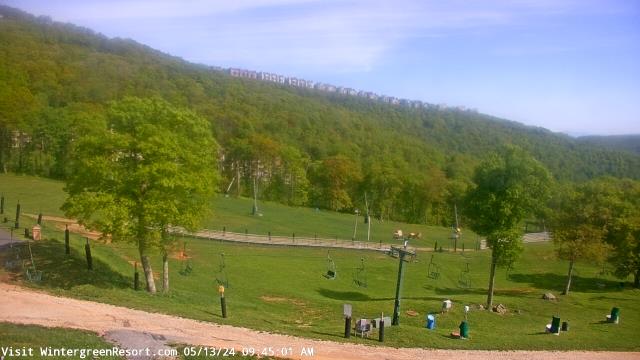
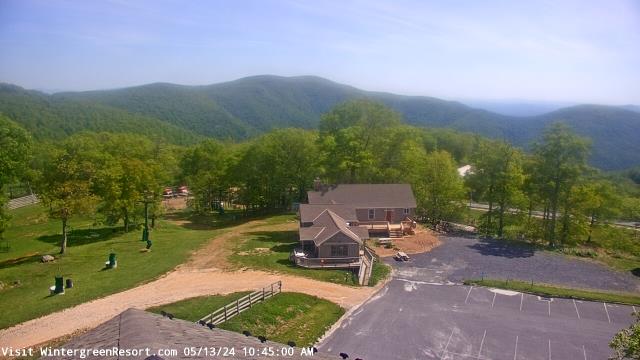
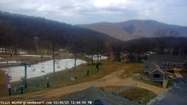
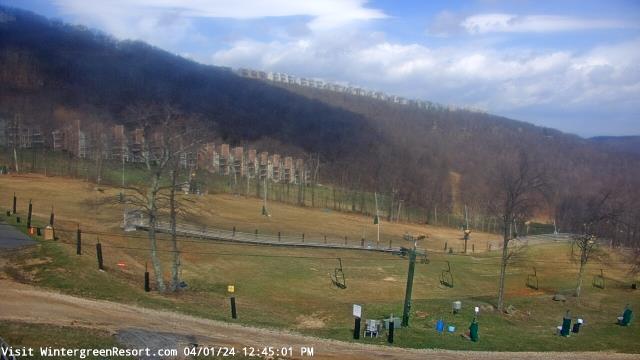
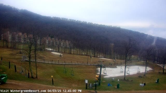
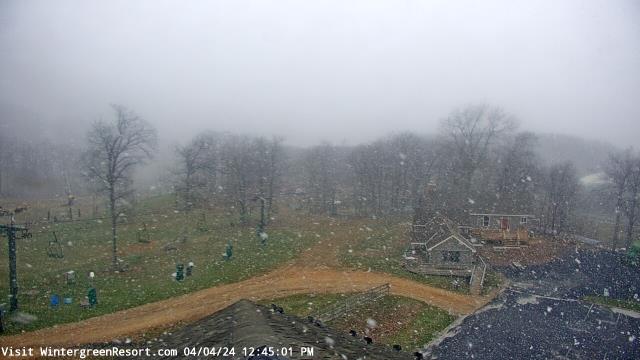
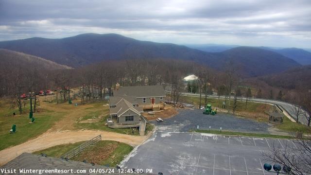
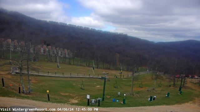
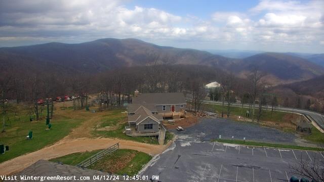
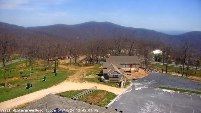
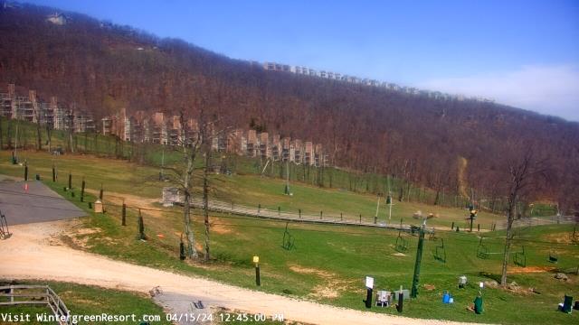
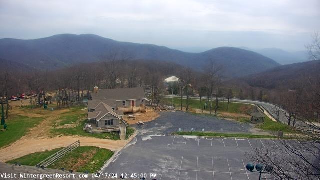
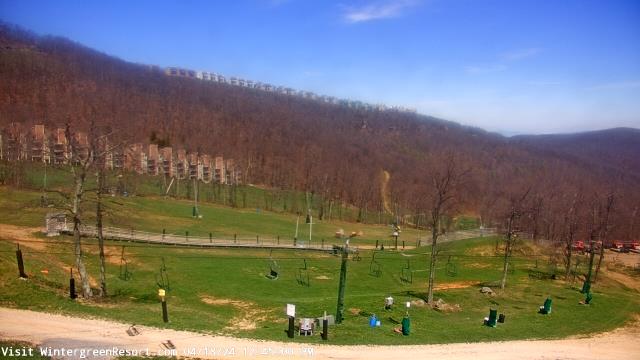
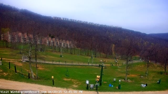
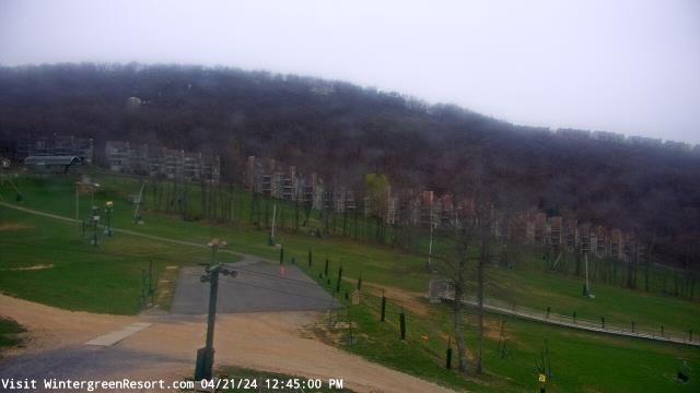
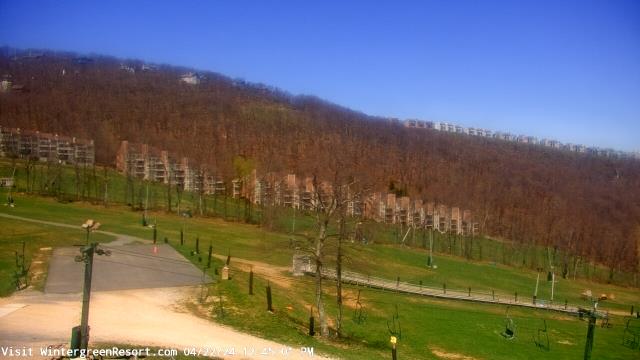
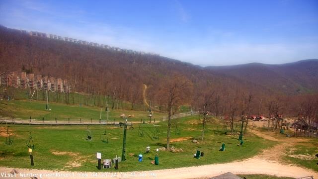
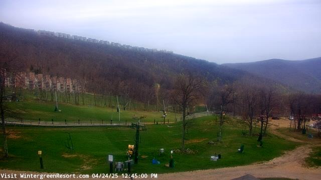
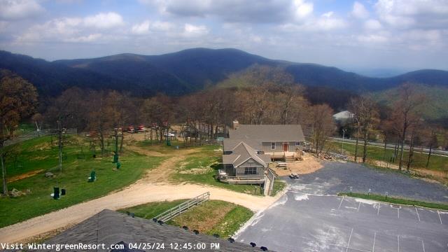
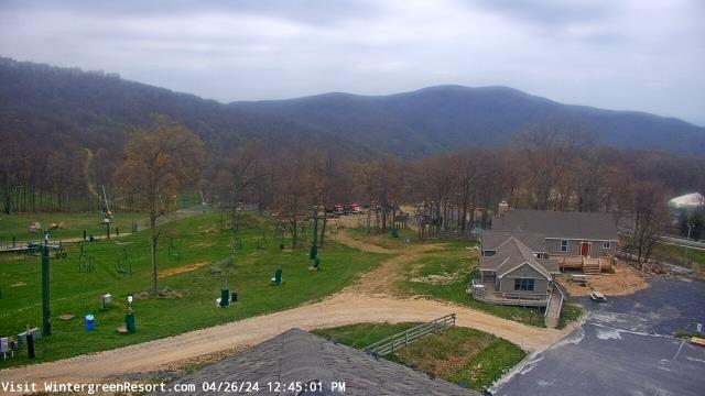
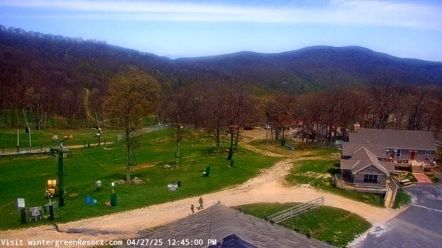
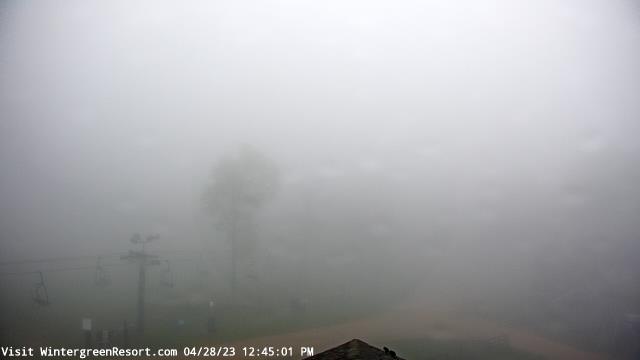
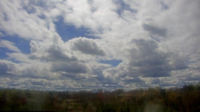
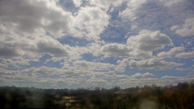
Nellysford, Virginia, USA - 64.7 miles from Laurel Hill (historical): Wintergreen Mtn. at 3650 ft. elev. - A webcam in Nellysford, Virginia - camera location: Wintergreen Mtn. at 3650 ft. elev..
Operator: WeatherBug
Operator: WeatherBug


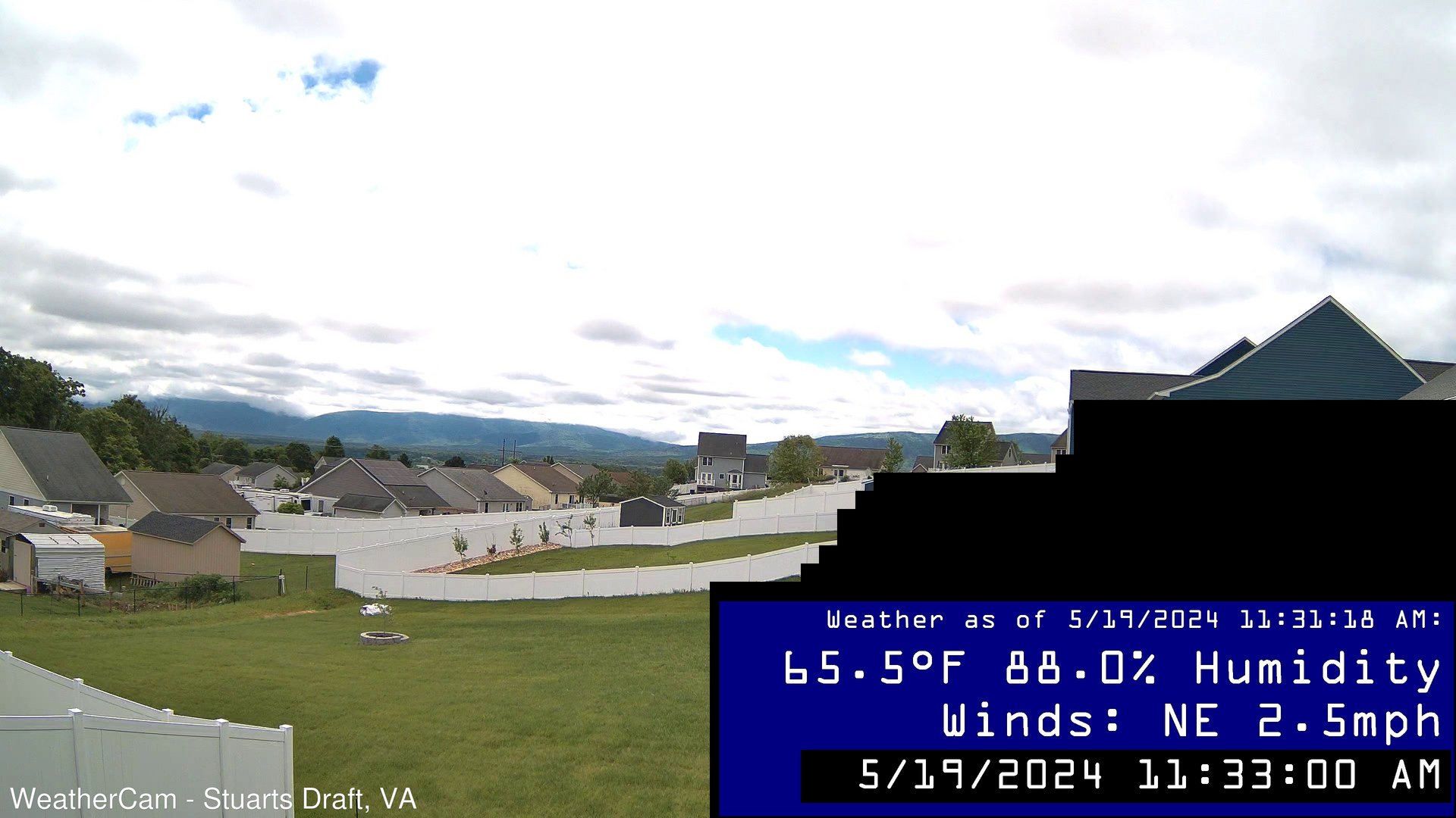
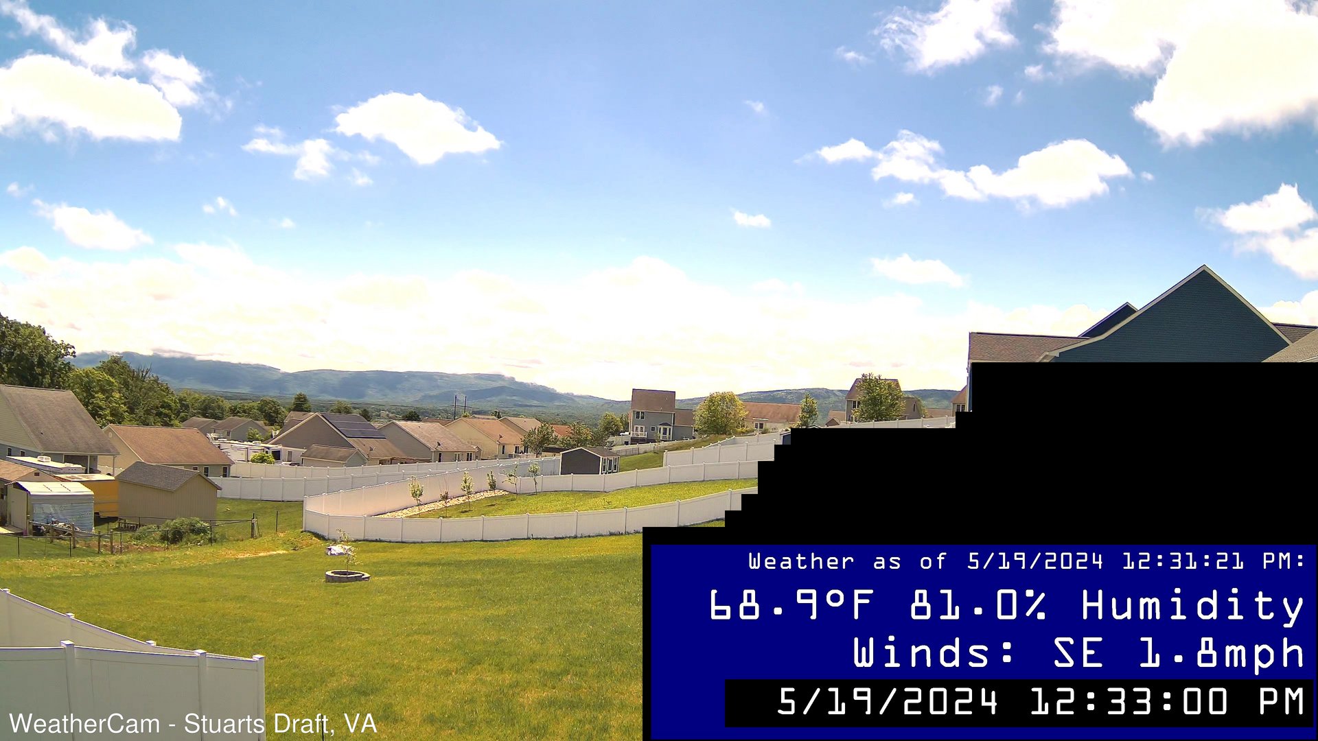
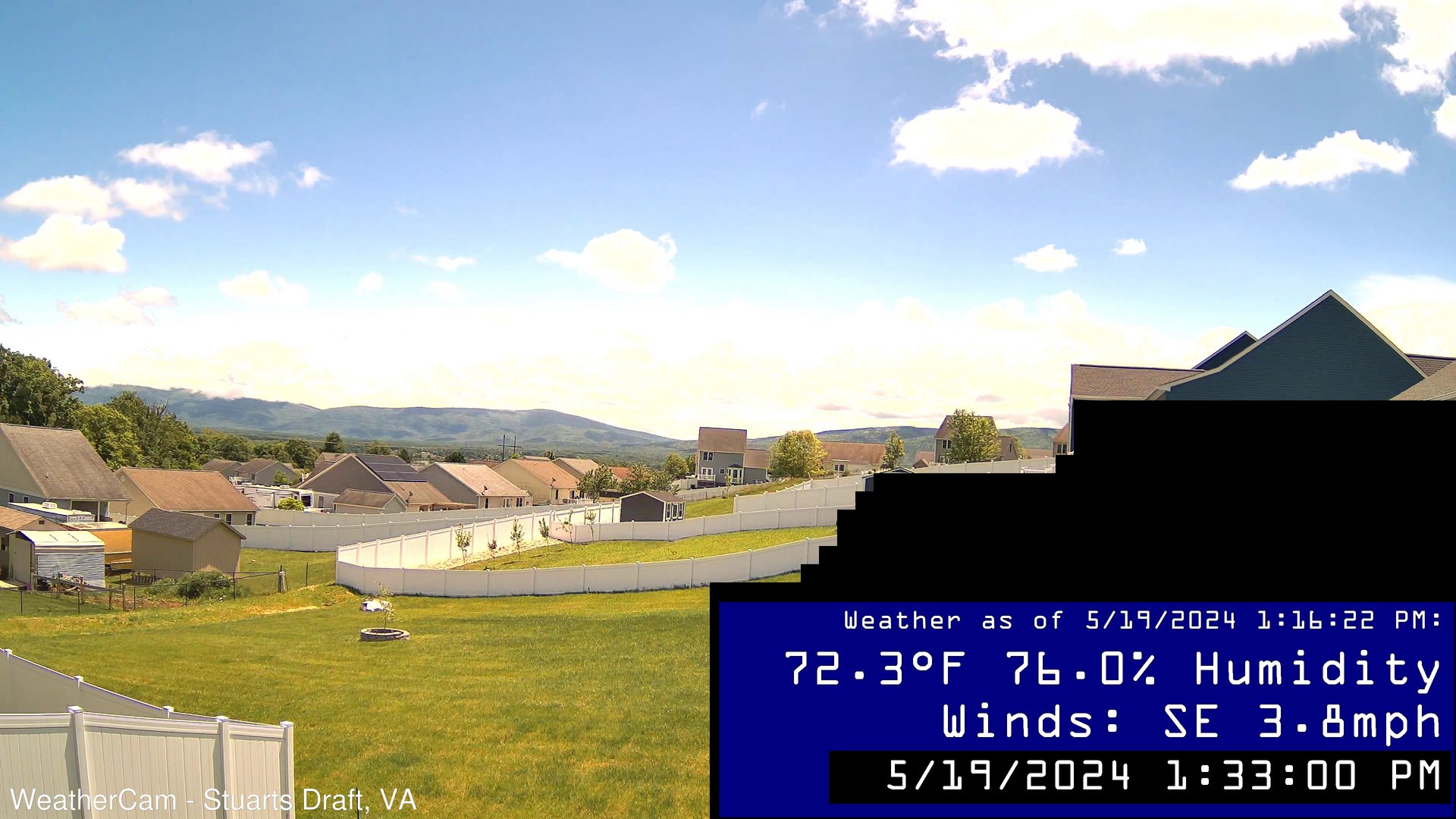
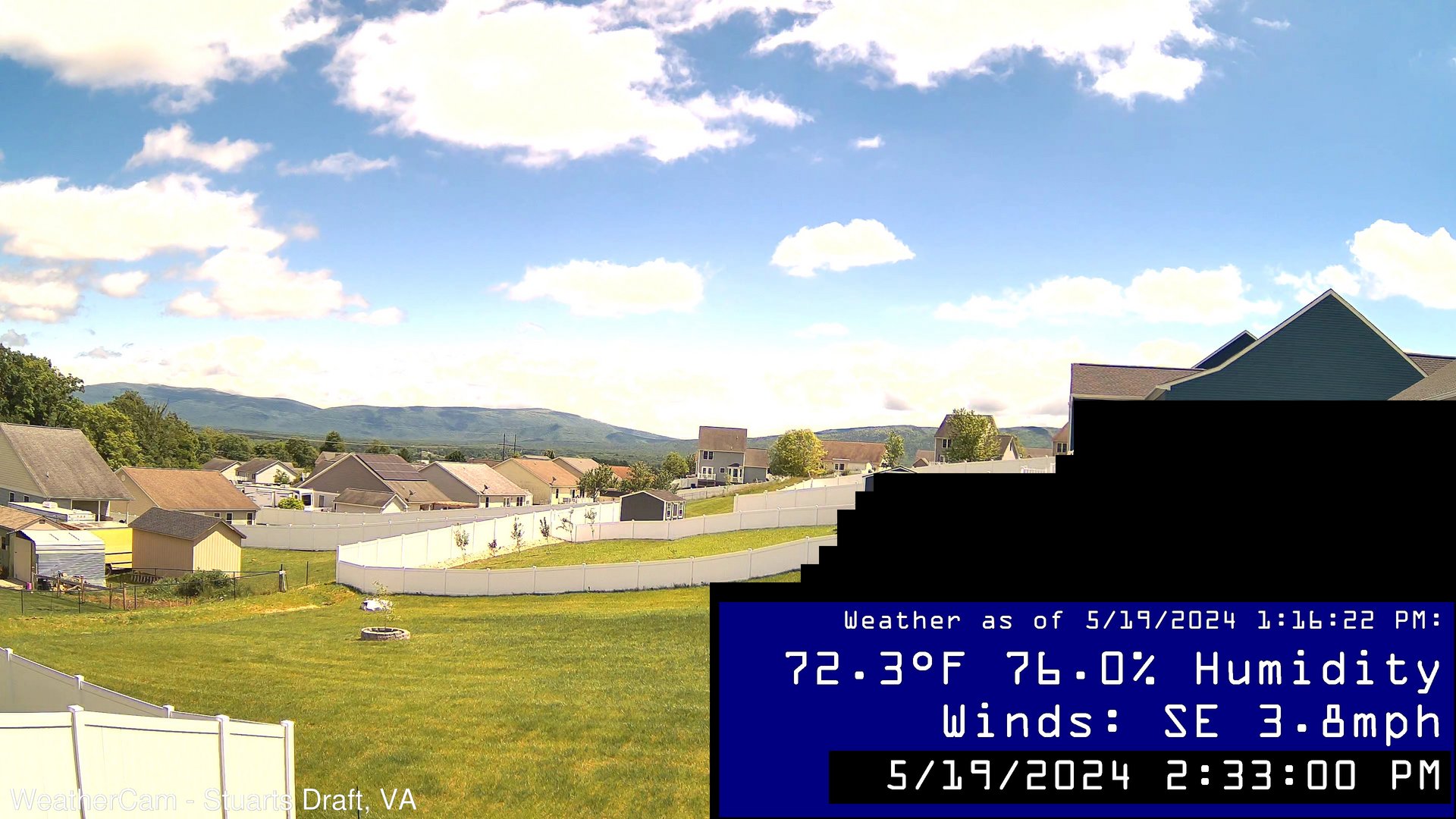
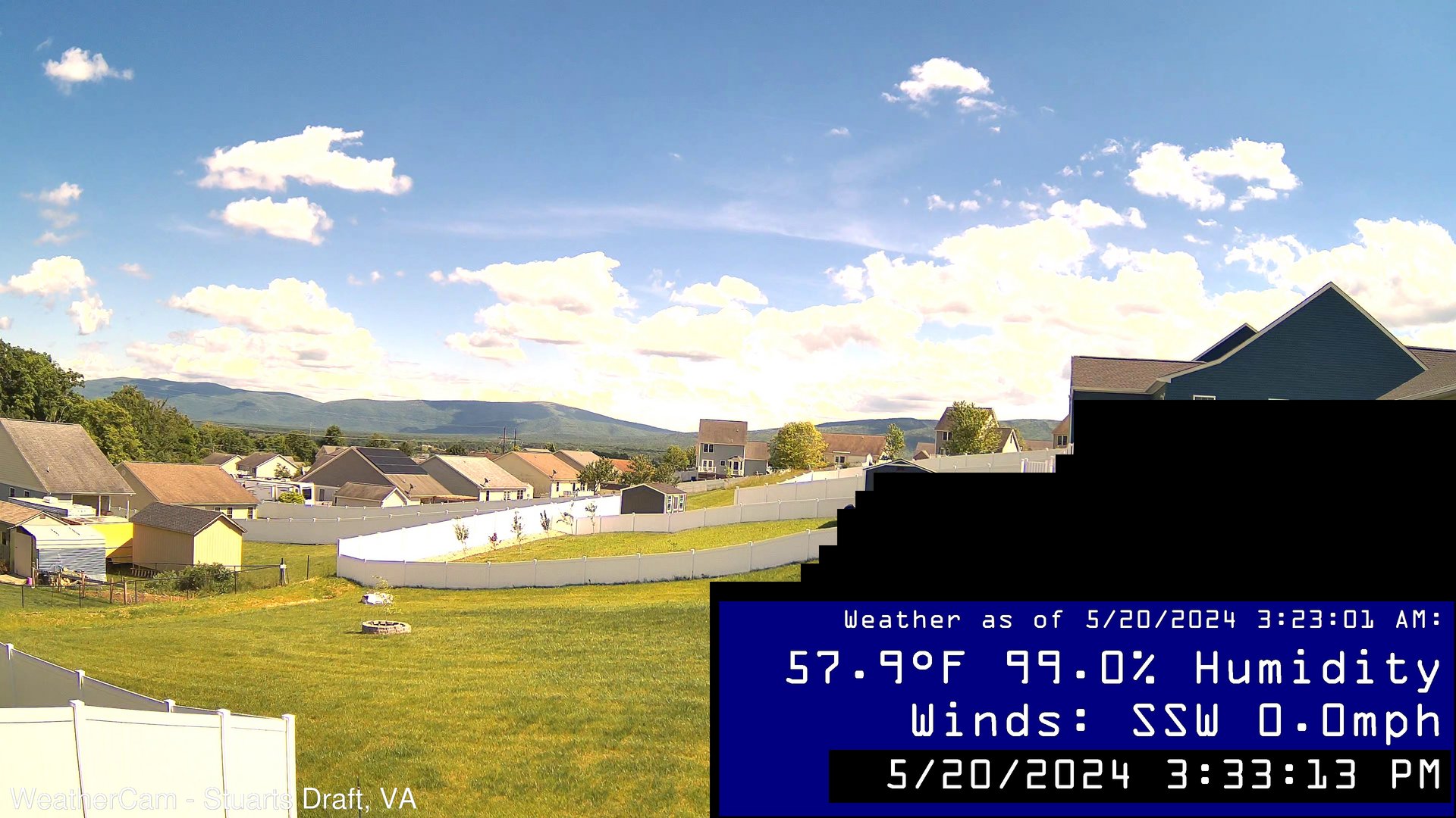
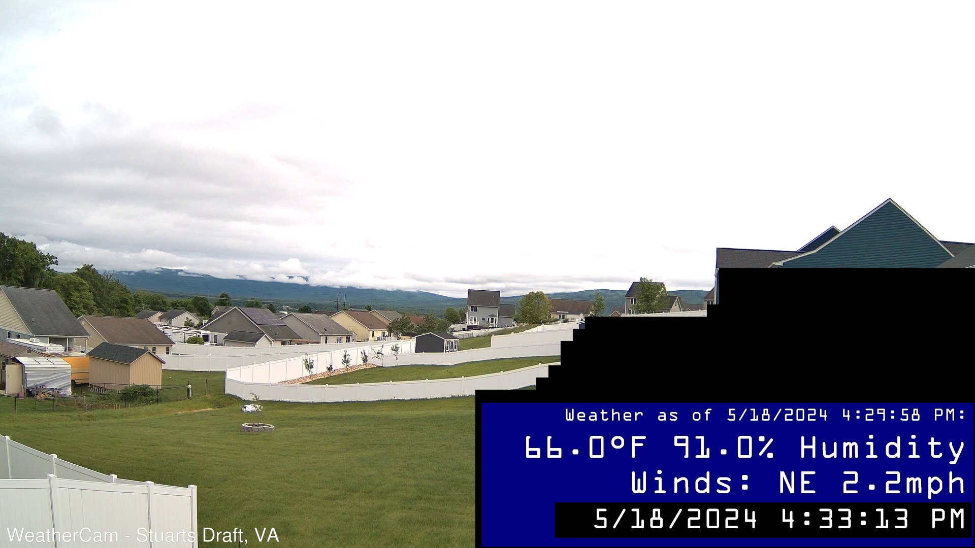
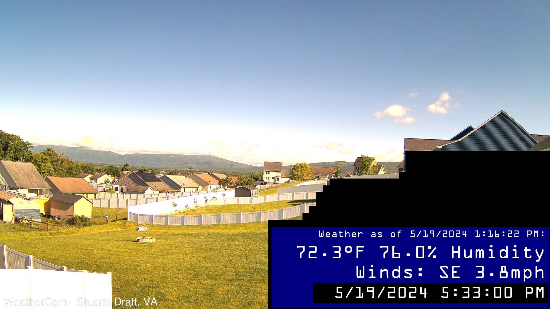
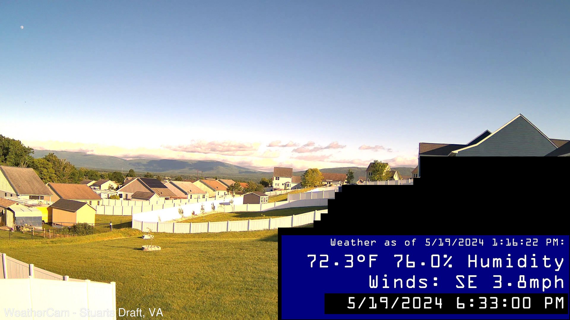
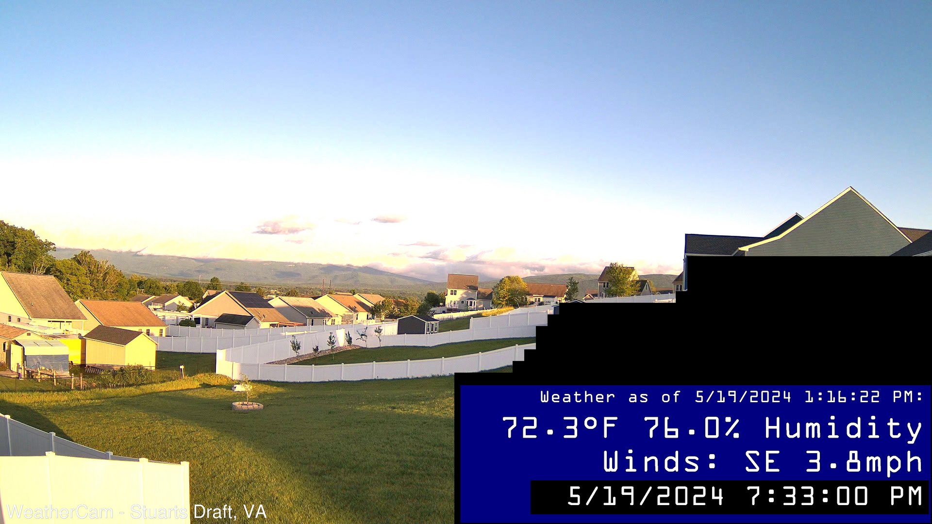
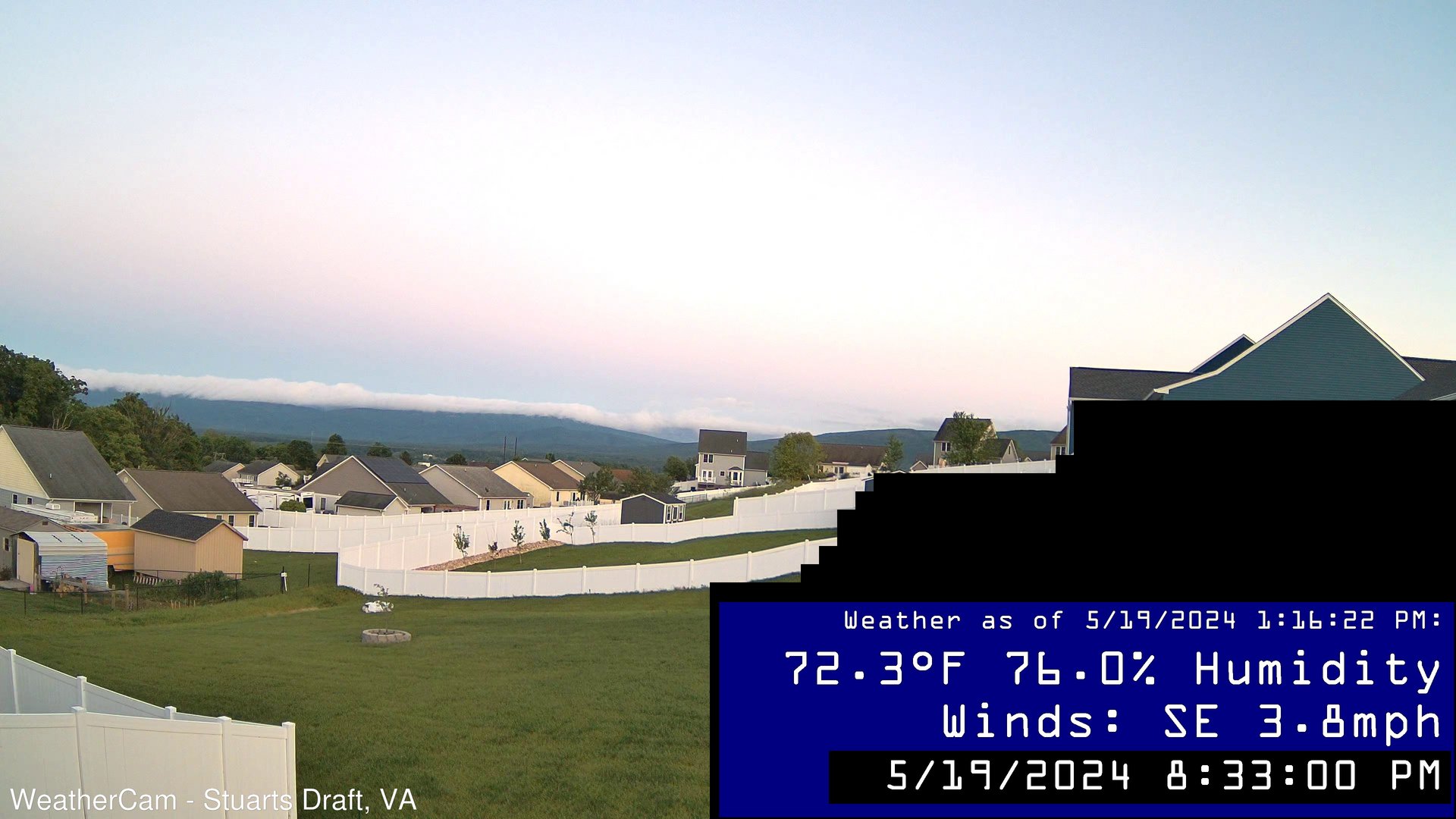
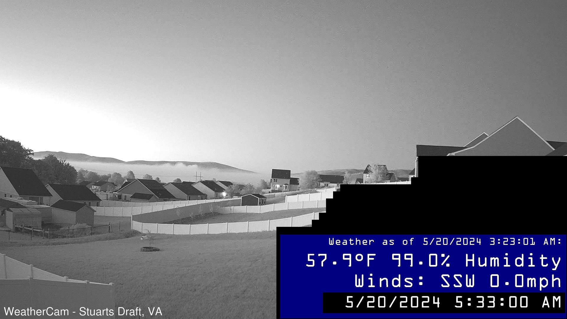
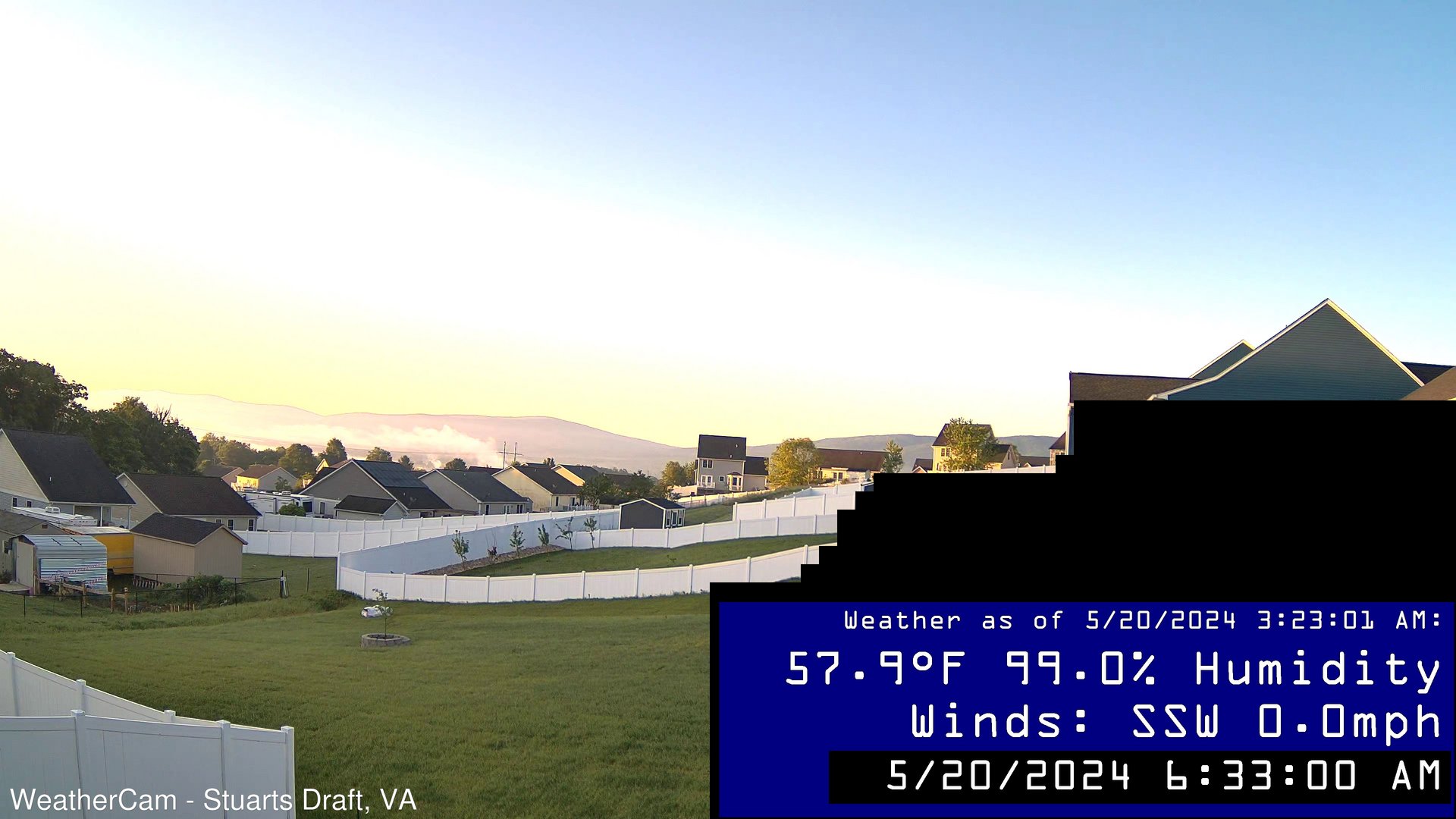
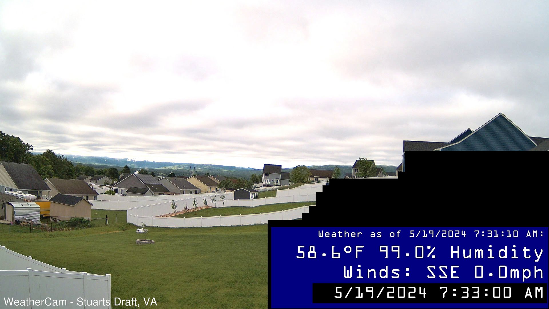
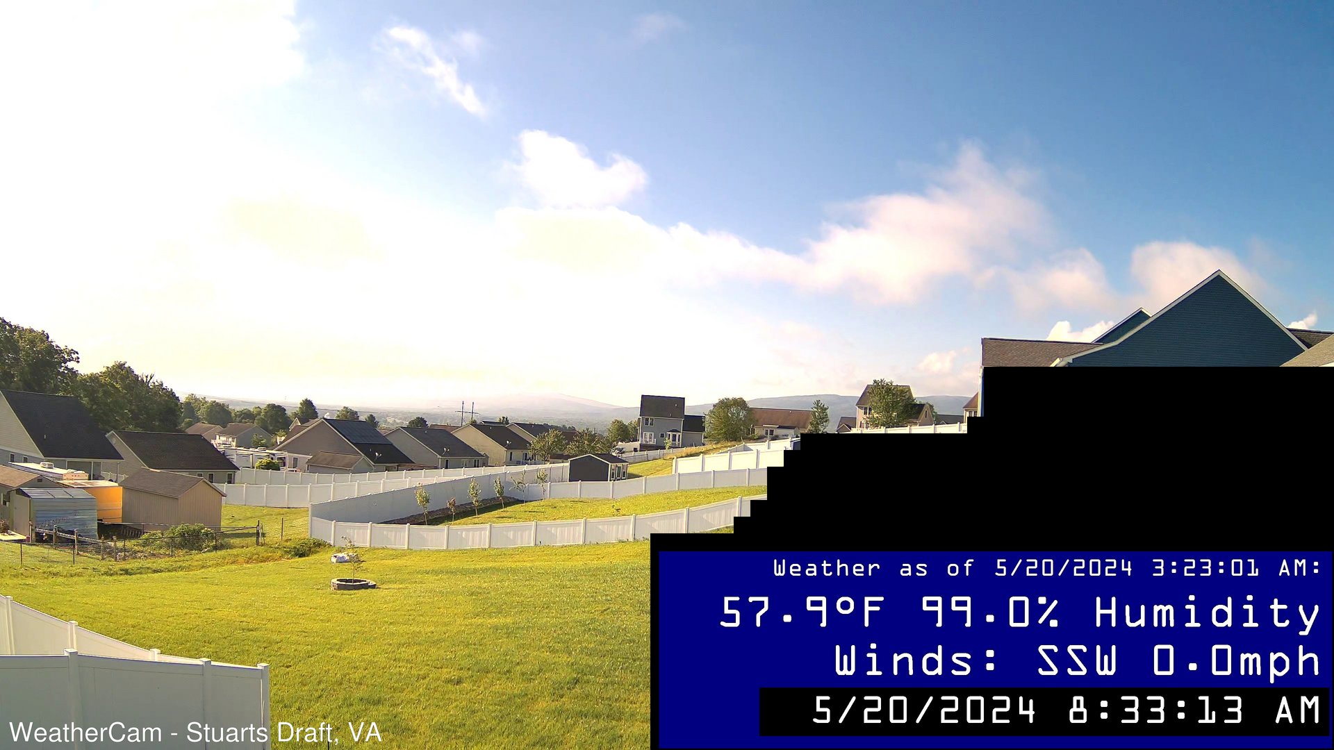
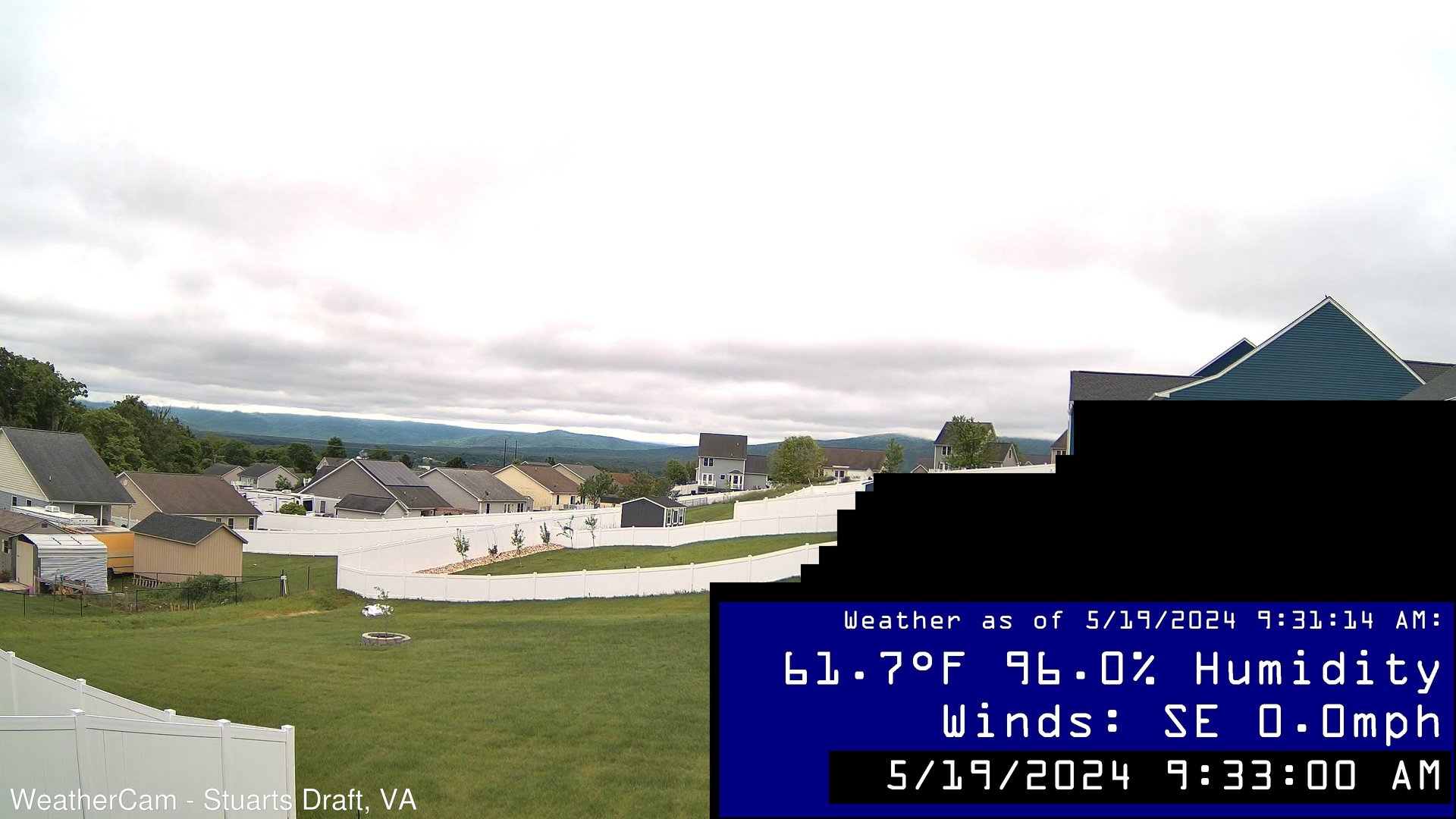
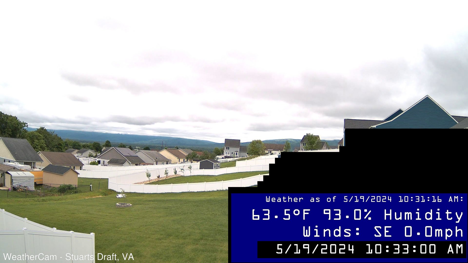
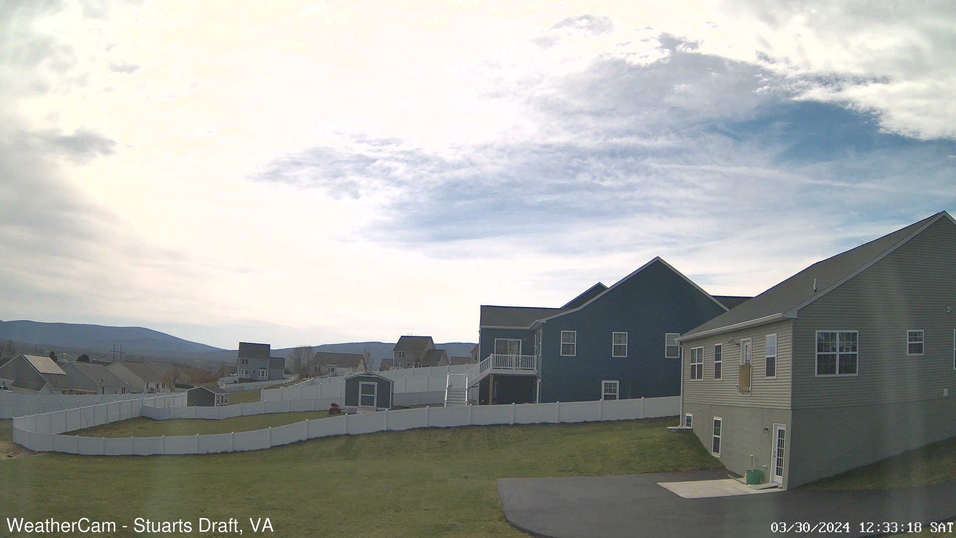
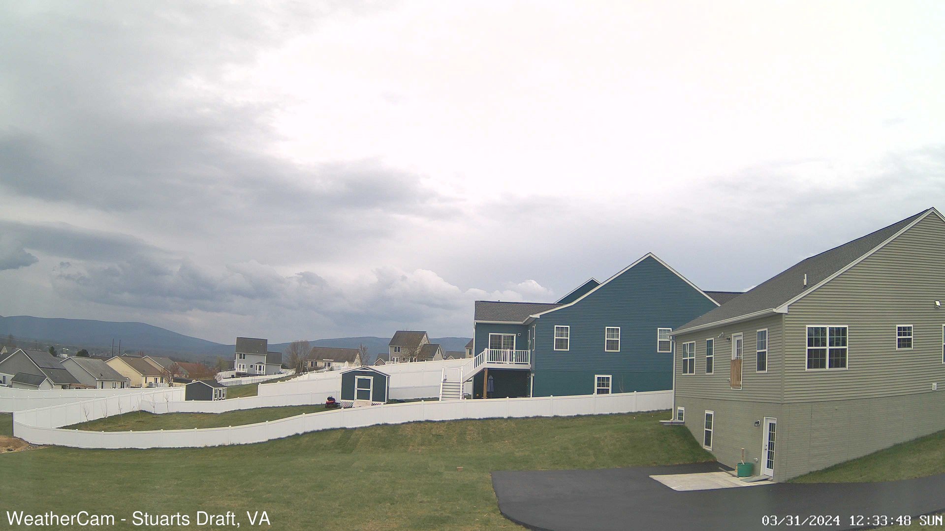
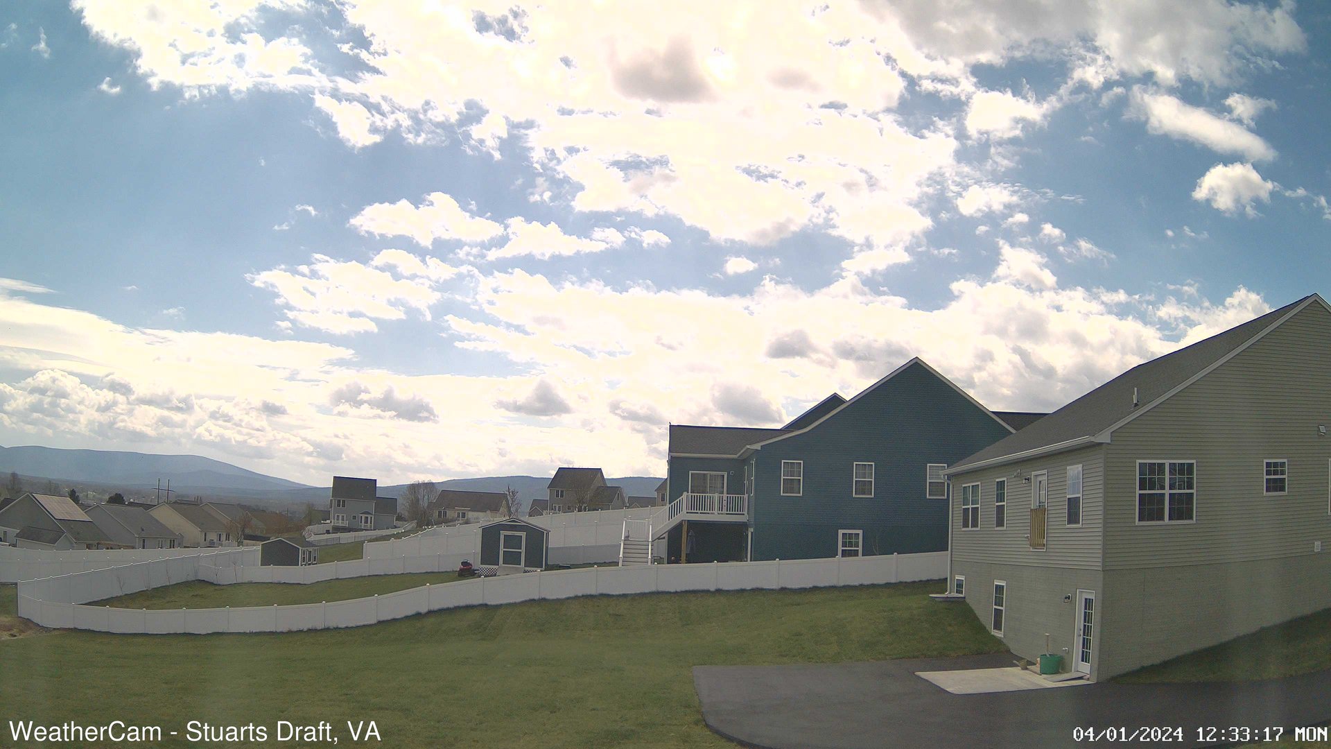
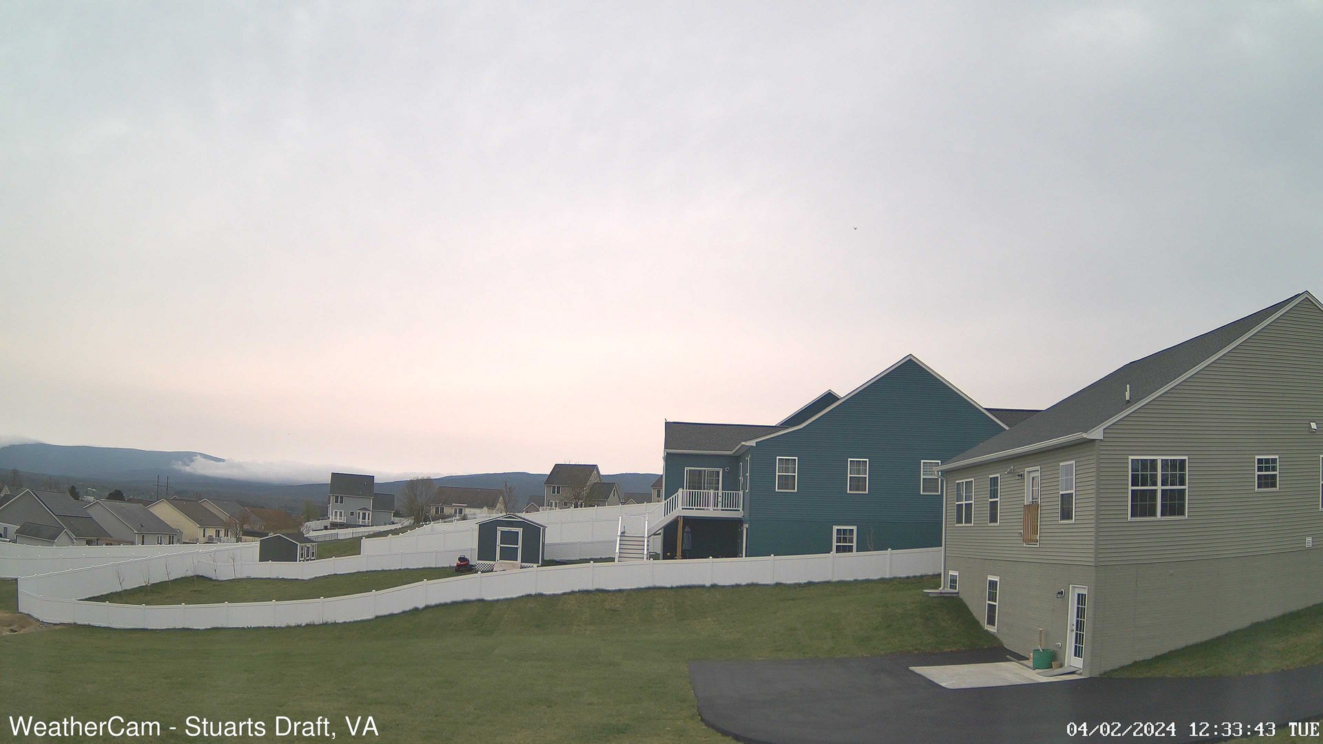
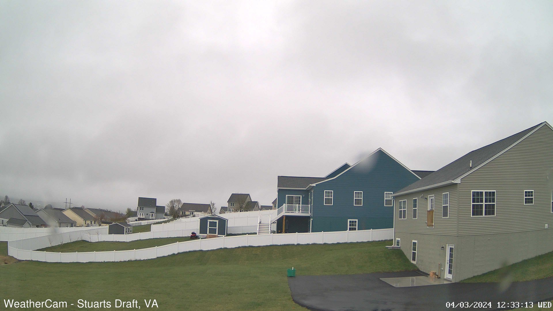
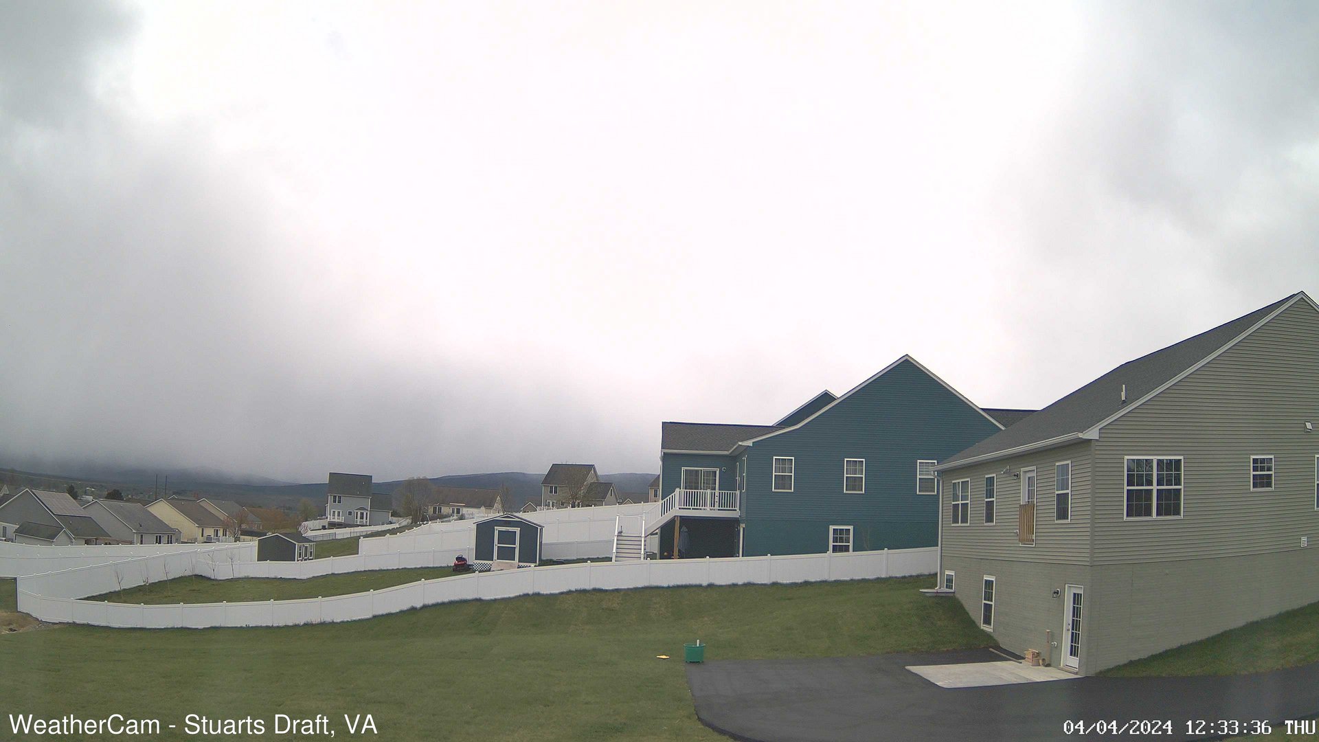
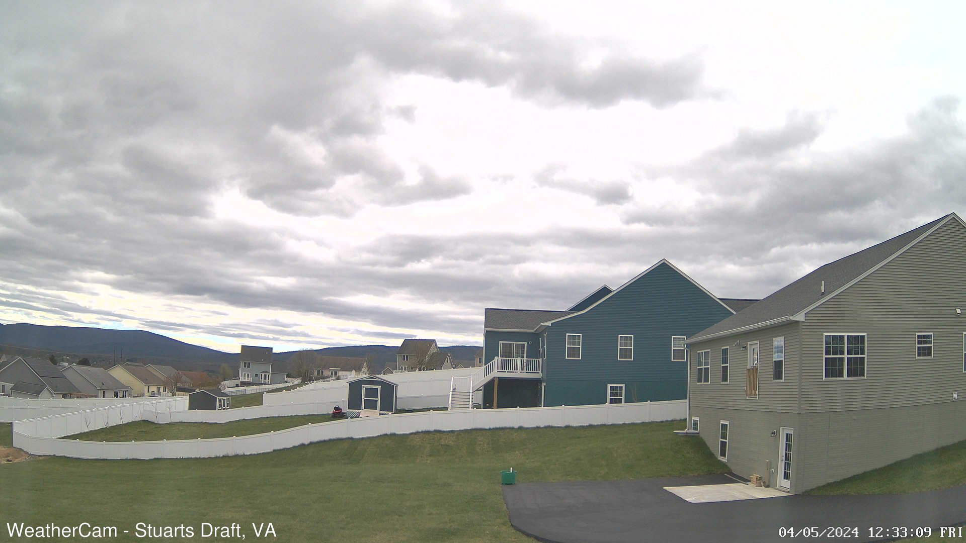
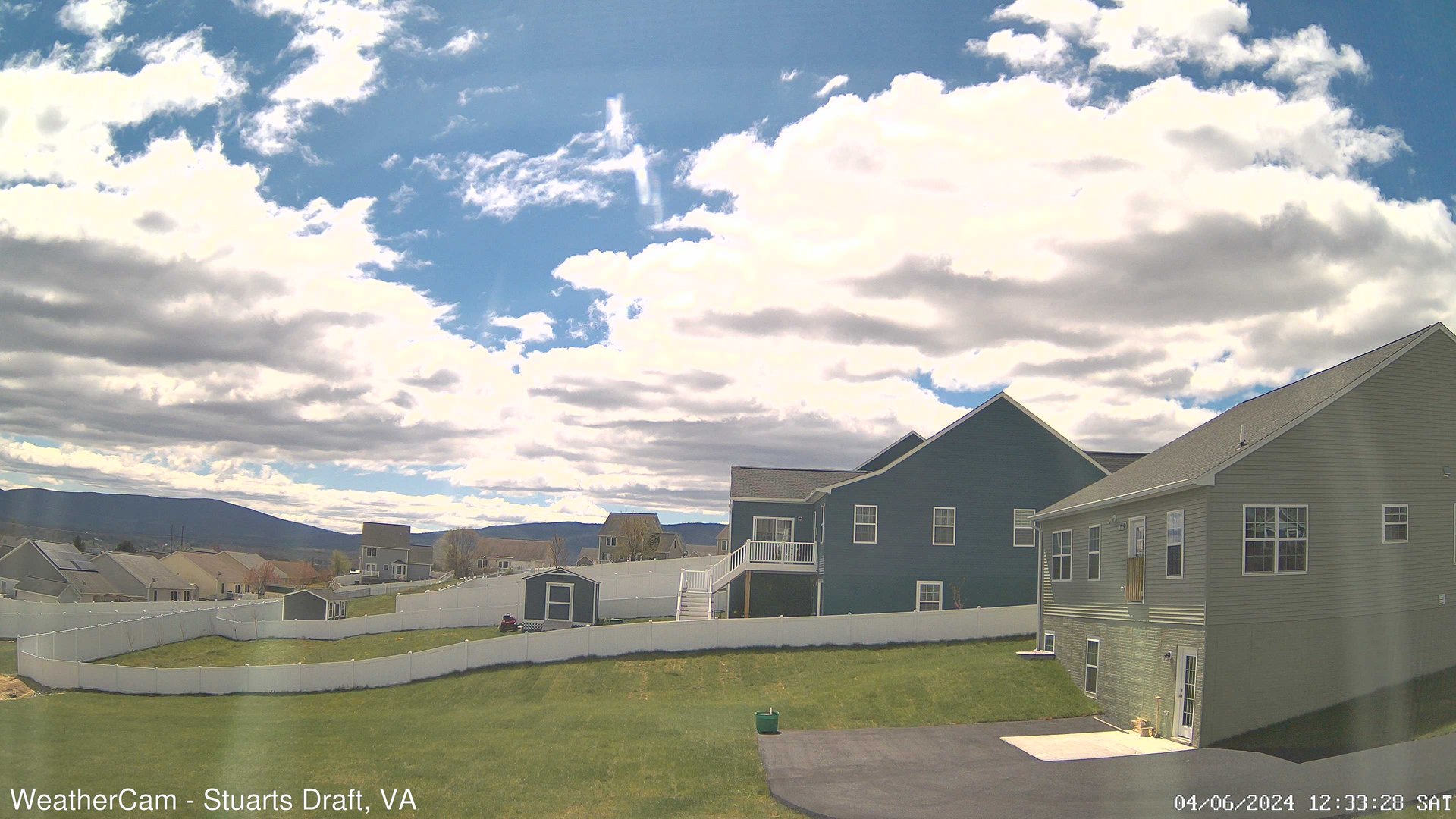
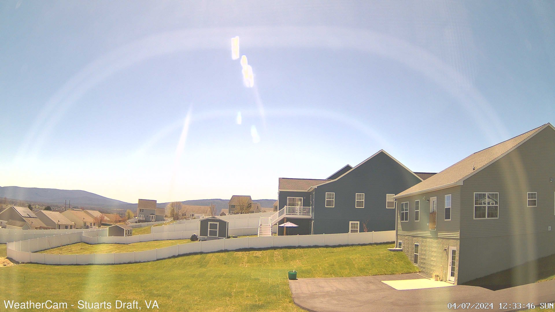
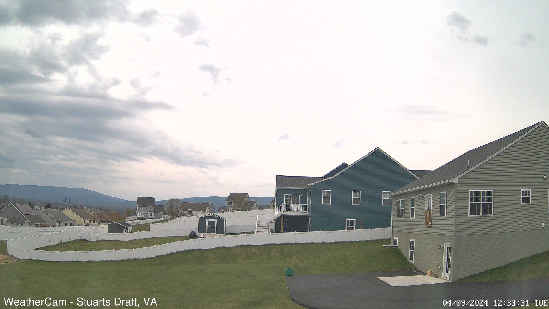
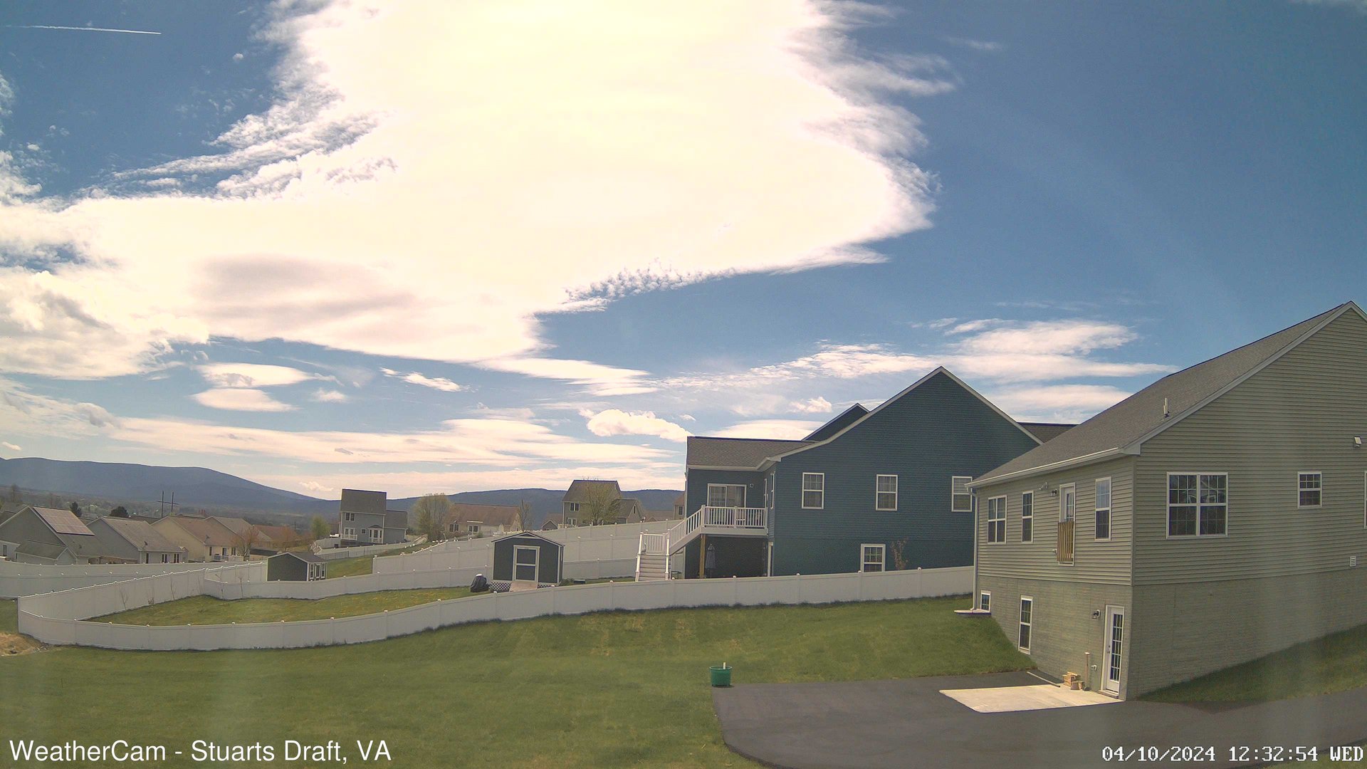
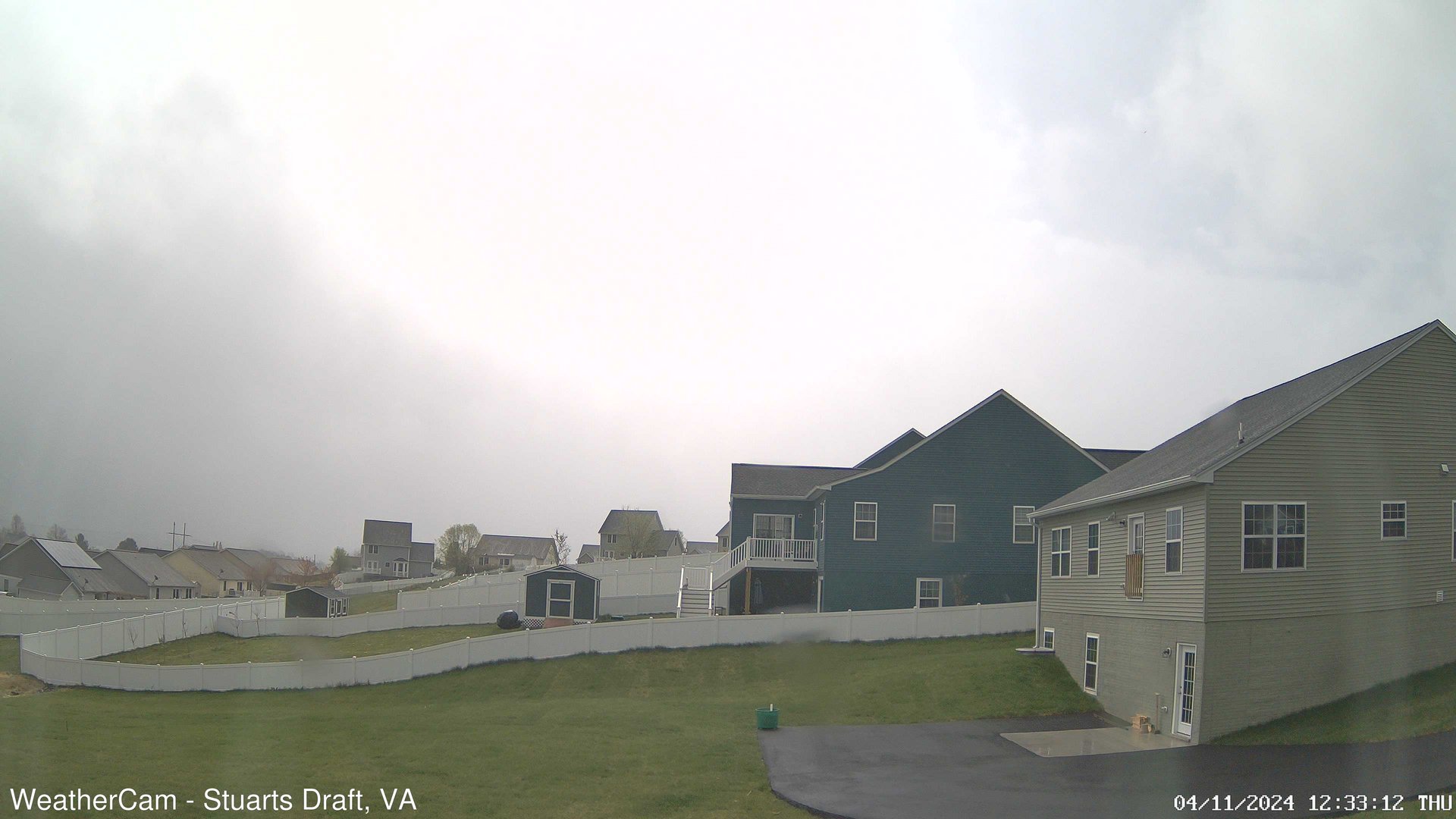
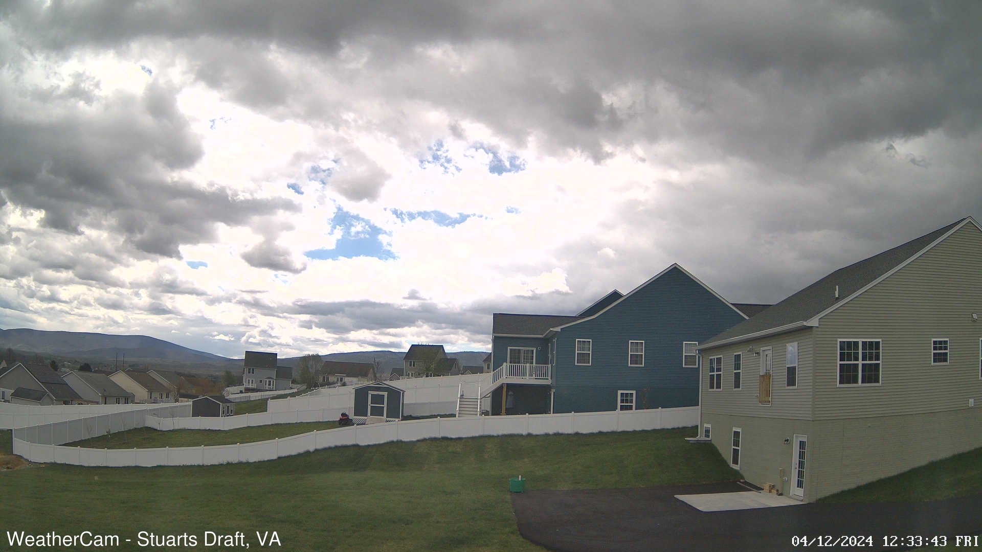
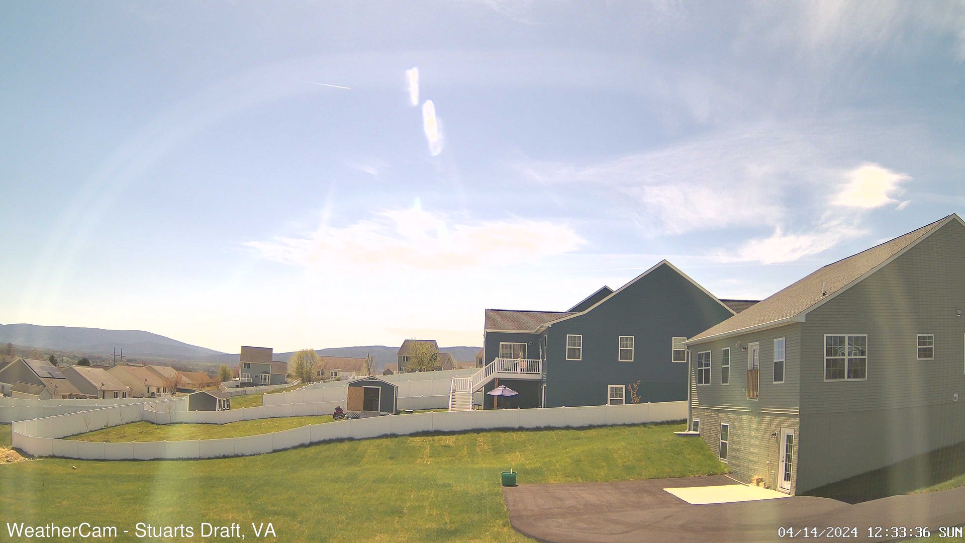
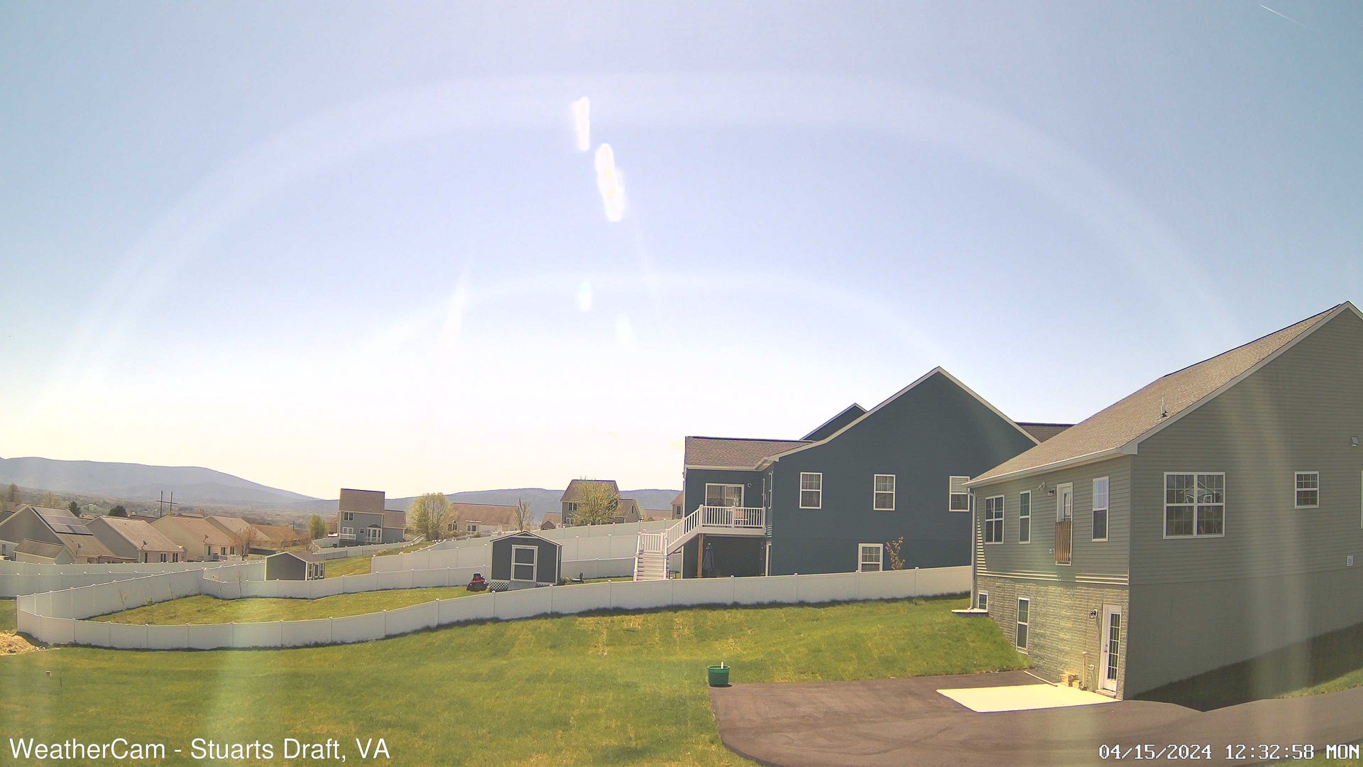
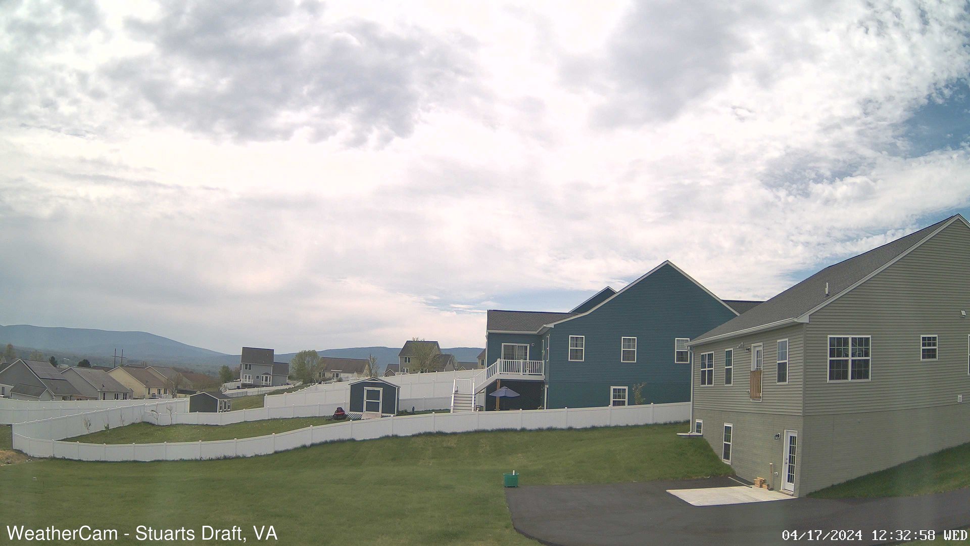
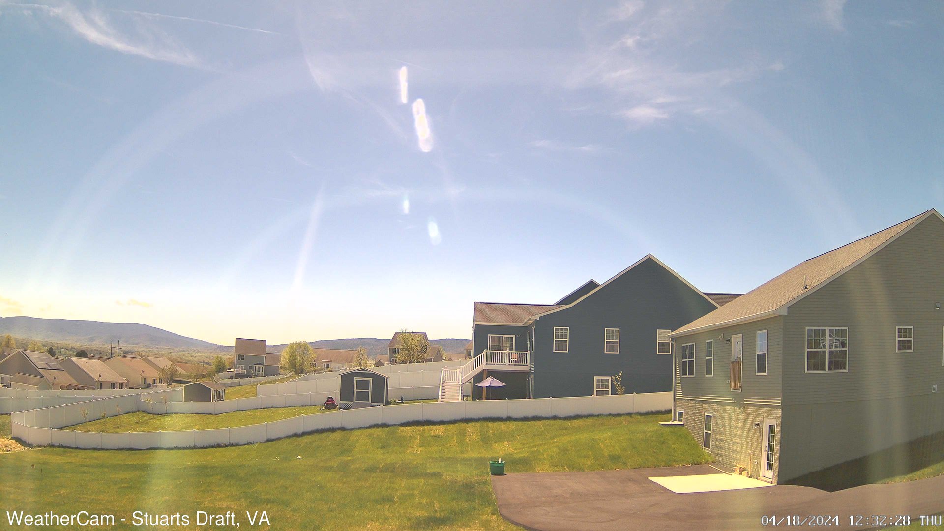
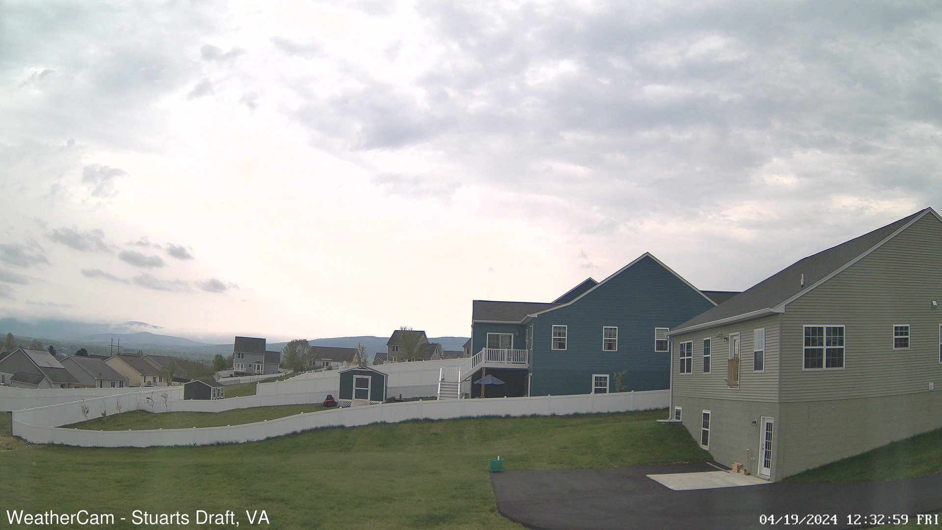
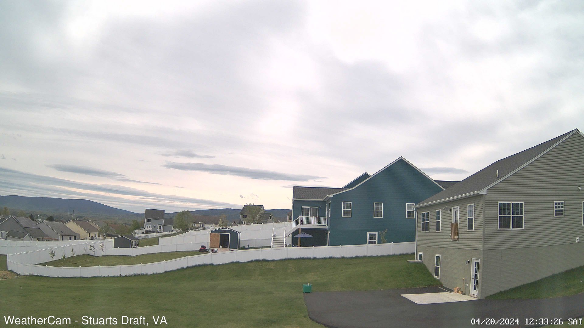
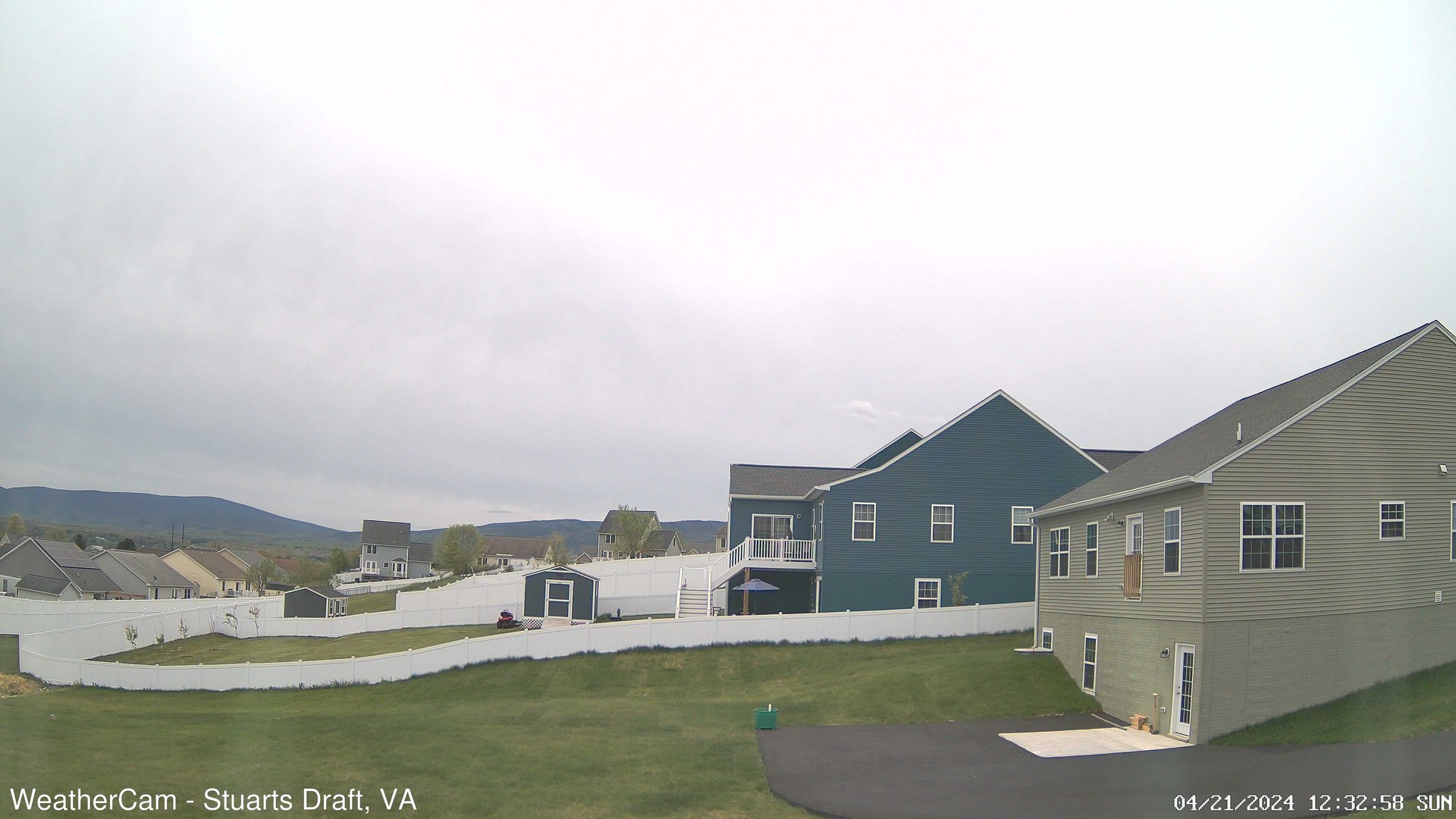
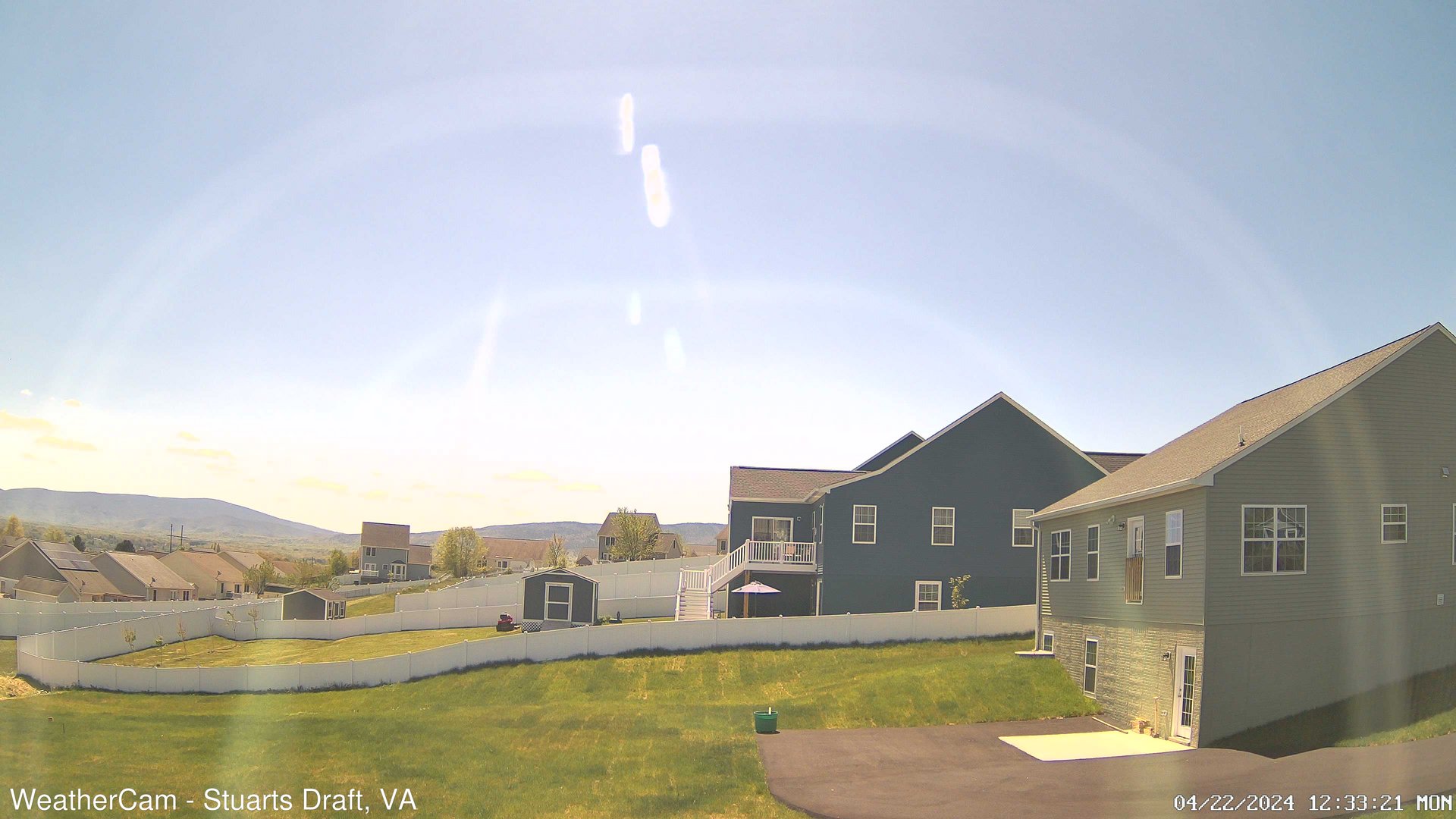
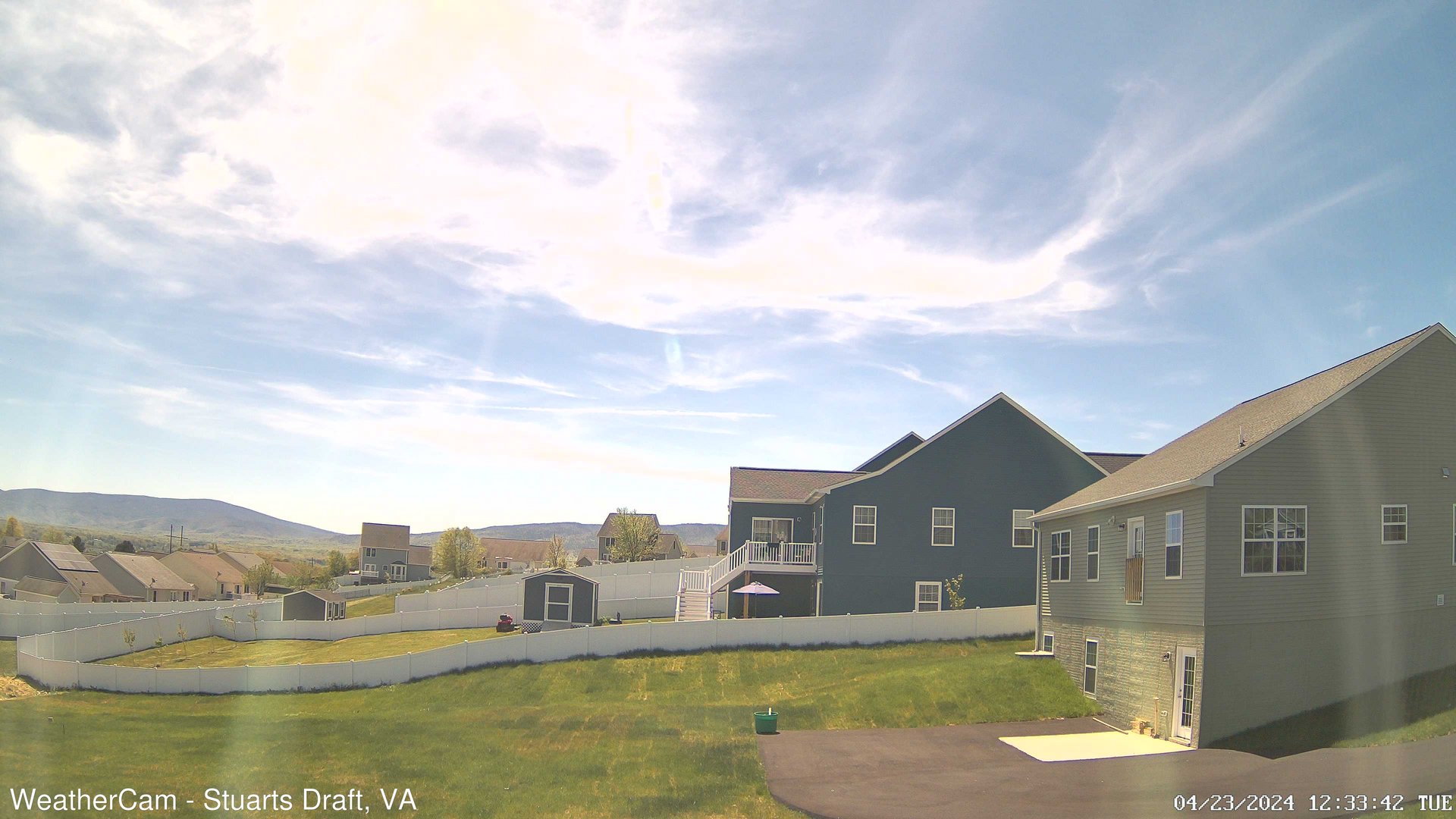
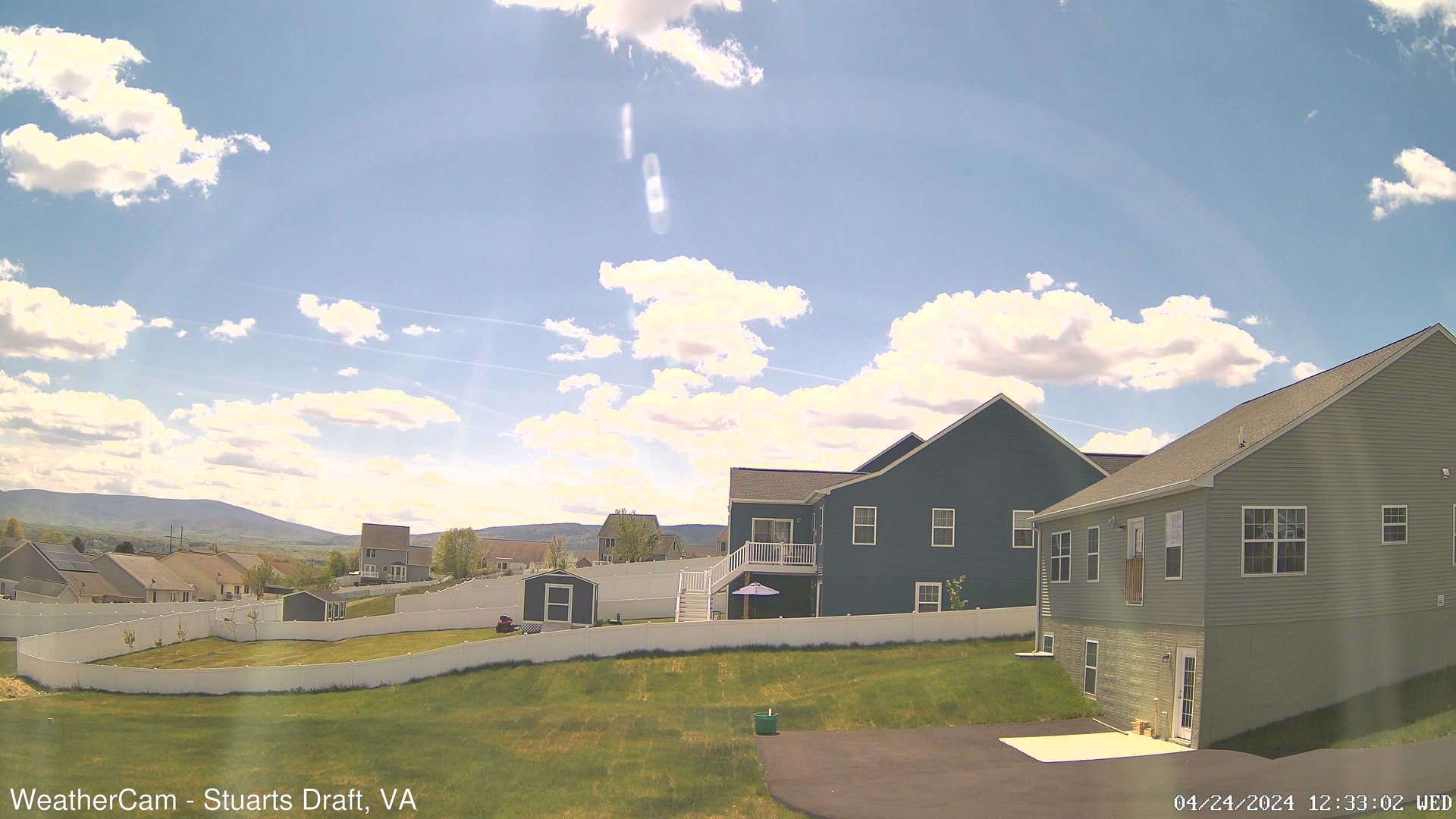
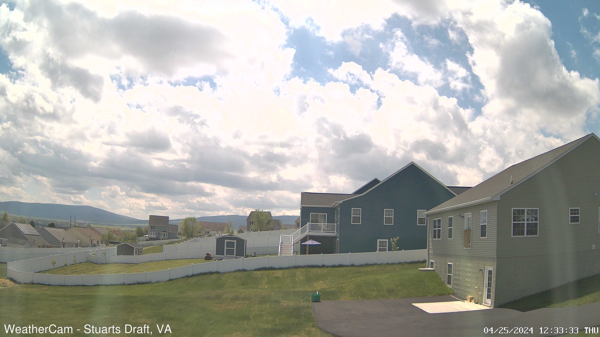
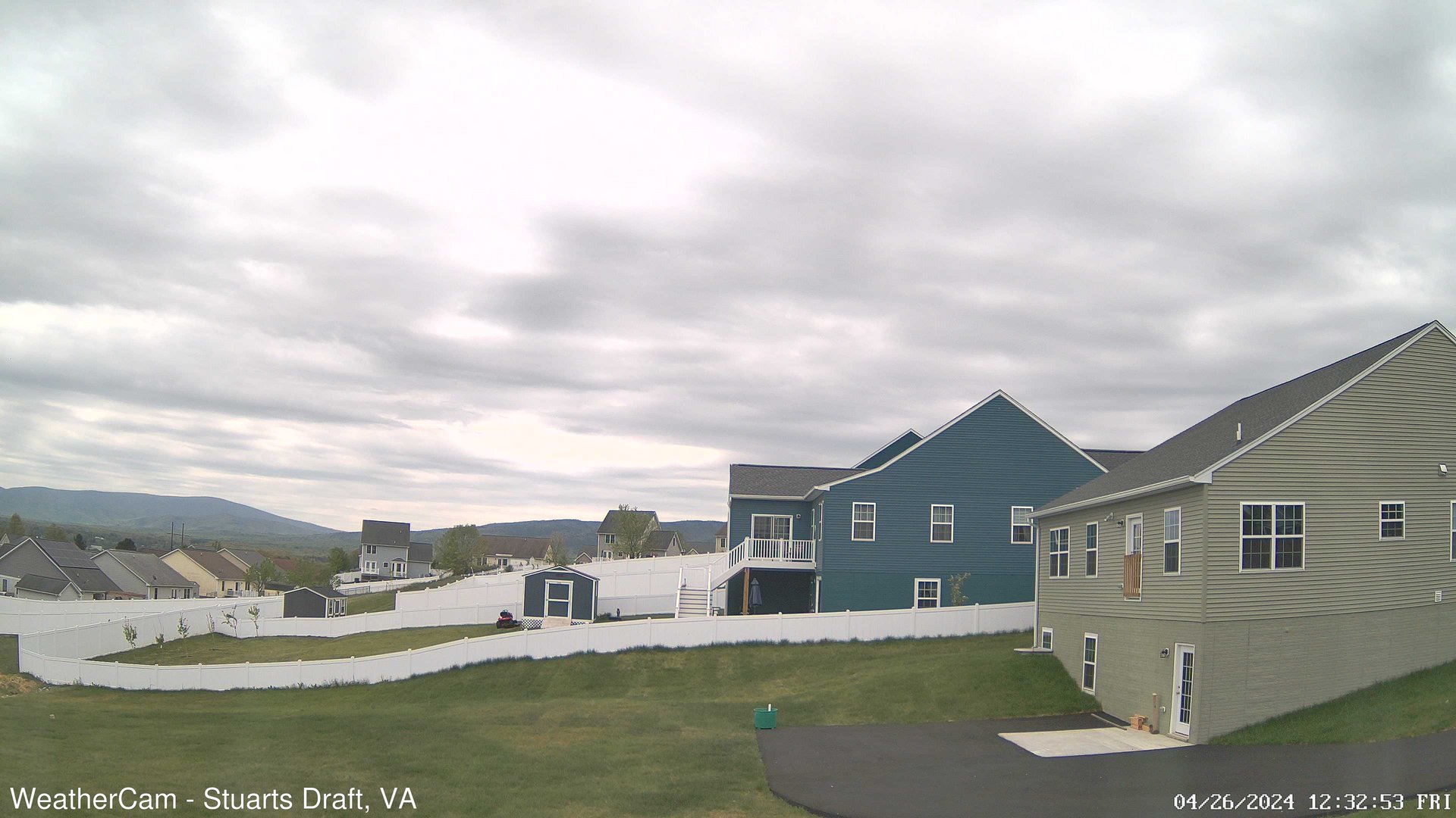
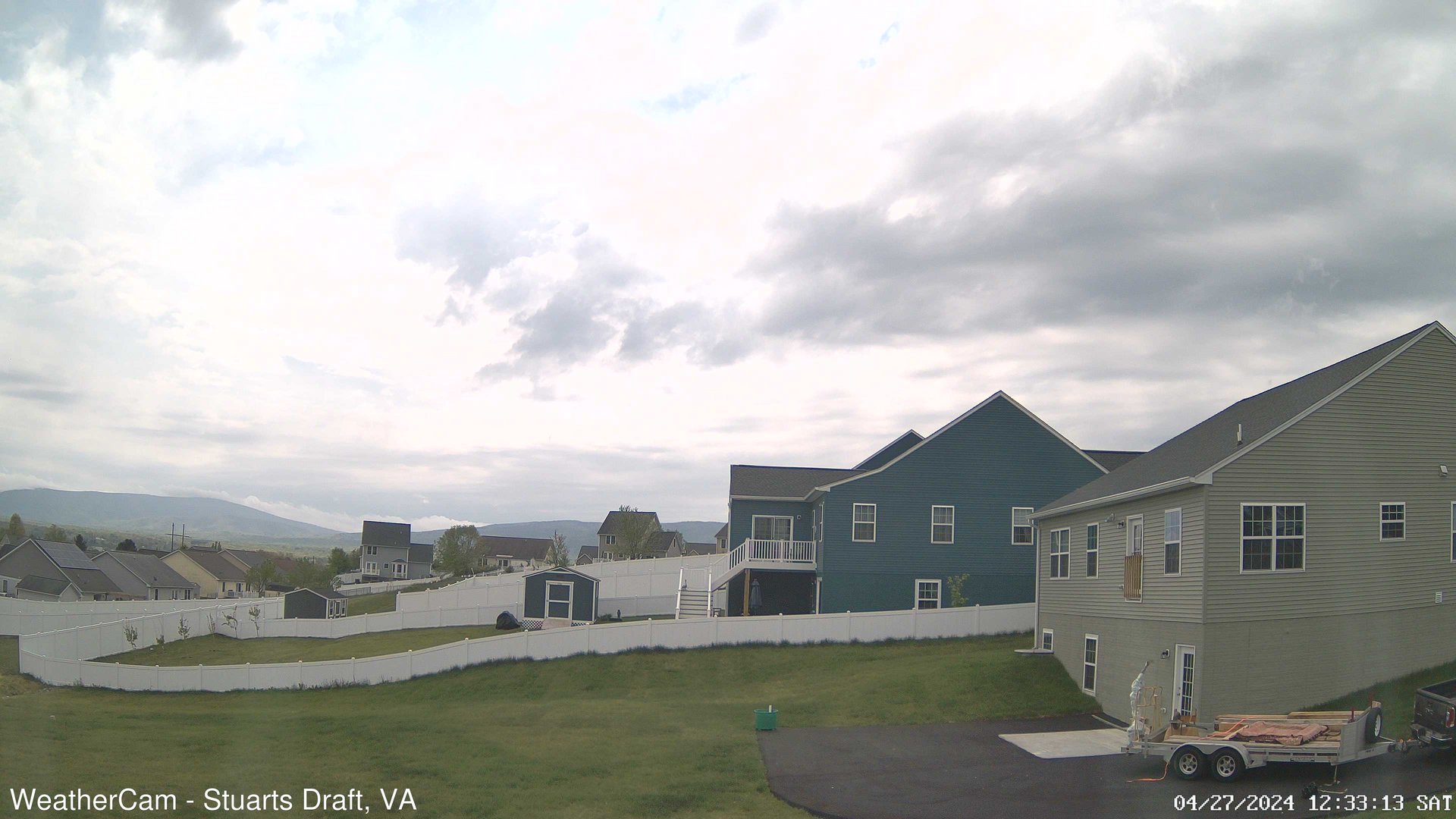
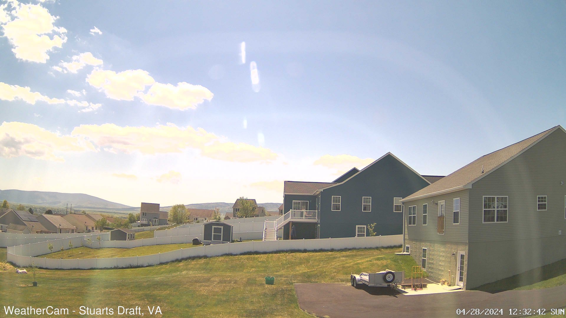
Stuarts Draft, Virginia, USA - 77.6 miles from Laurel Hill (historical): Blue Ridge Mountains - A view from Stuarts Draft, VA of the Blue Ridge Mountains in the distance.
Operator: J. Kristopher Photography
Operator: J. Kristopher Photography


Spotsylvania, Virginia, USA - 84.7 miles from Laurel Hill (historical): Spotsylvania County Fire and Rescue - A webcam in Spotsylvania, Virginia - camera location: Spotsylvania County Fire and Rescue.
Operator: WeatherBug
Operator: WeatherBug


Buchanan, Virginia, USA - 86.1 miles from Laurel Hill (historical): James River High School - A webcam in Buchanan, Virginia - camera location: James River High School.
Operator: WeatherBug
Operator: WeatherBug


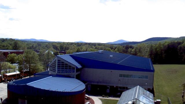
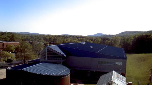
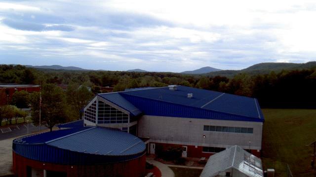
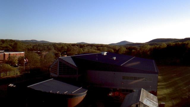
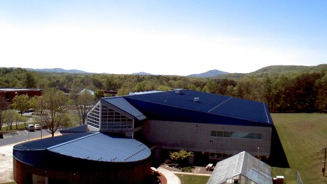
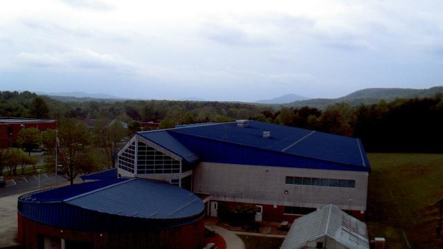
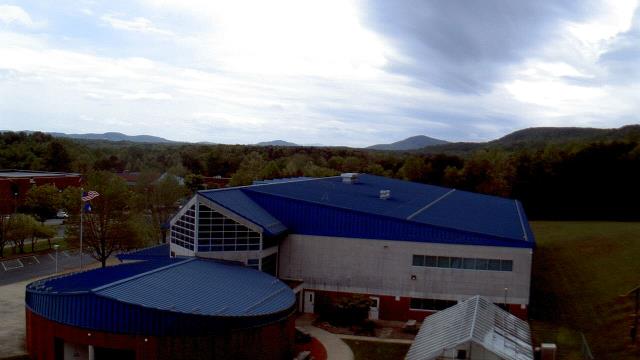
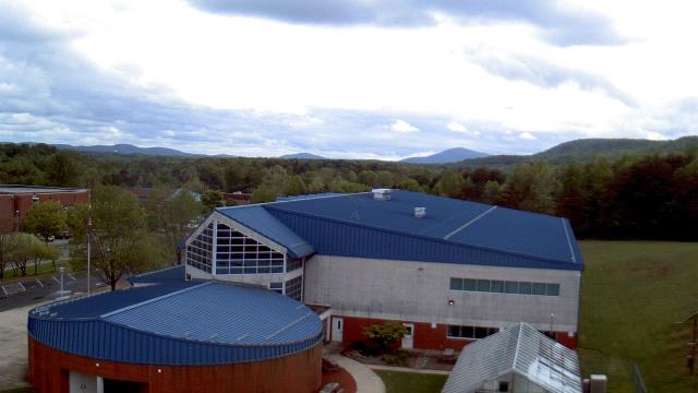
Rocky Mount, Virginia, USA - 90.5 miles from Laurel Hill (historical): The Gereau Center - A webcam in Rocky Mount, Virginia - camera location: The Gereau Center.
Operator: WeatherBug
Operator: WeatherBug


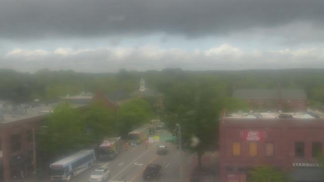
Chapel Hill, North Carolina, USA - 91.1 miles from Laurel Hill (historical): Top of the Hill Restaurant - A webcam in Chapel Hill, North Carolina - camera location: Top of the Hill Restaurant.
Operator: WeatherBug
Operator: WeatherBug


Some other places in this country: Coakley Town - Arvins Store - Lochleven - Non Intervention (historical) - Yatesville (historical) - Jamestown (historical) - Tredway (historical) - Henry - Laconia - Patrick Henry