Webcams in the region of Cranks (historical), Virginia, USA
The List of Webcams near Cranks (historical), Virginia, USA:
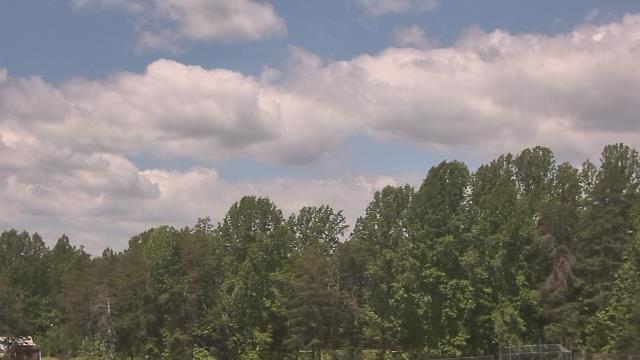
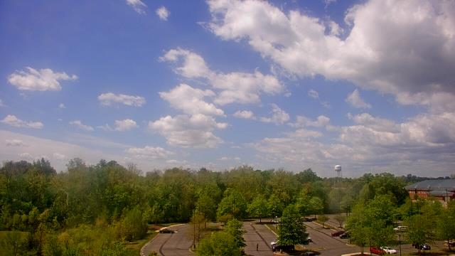
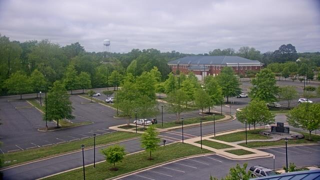
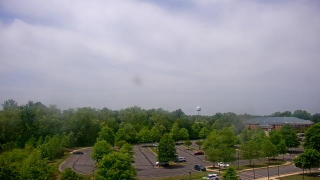
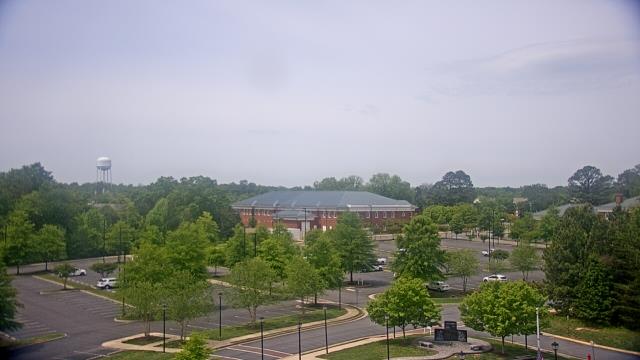
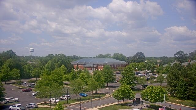
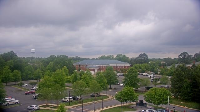
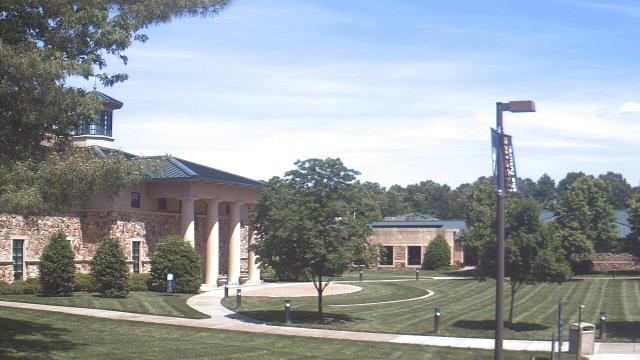
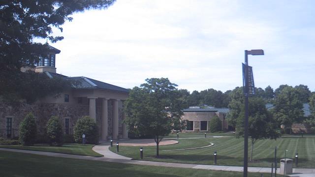
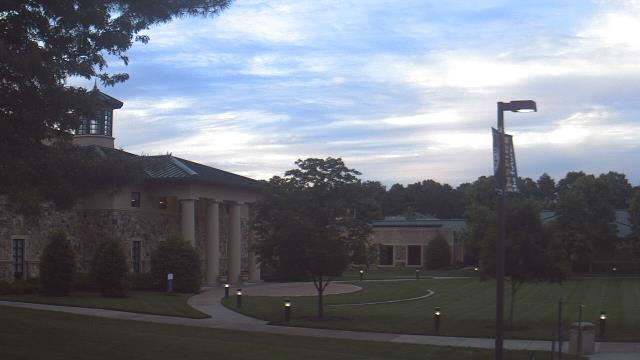
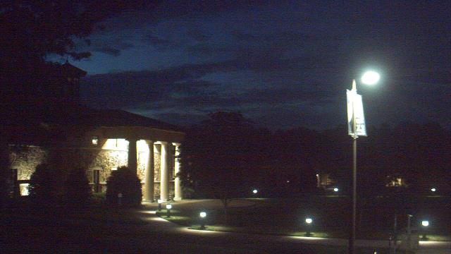
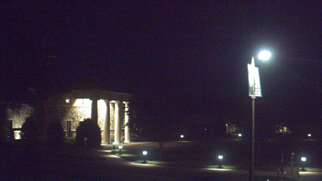
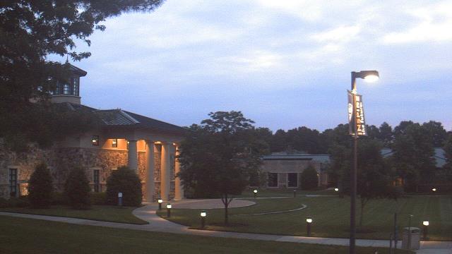
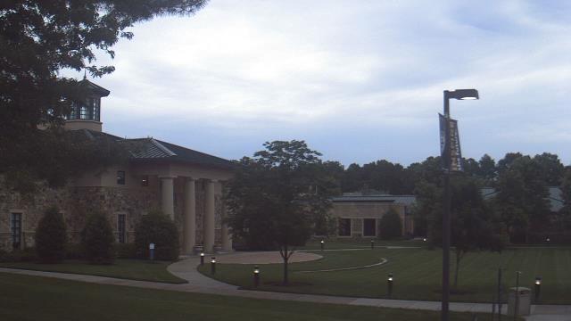
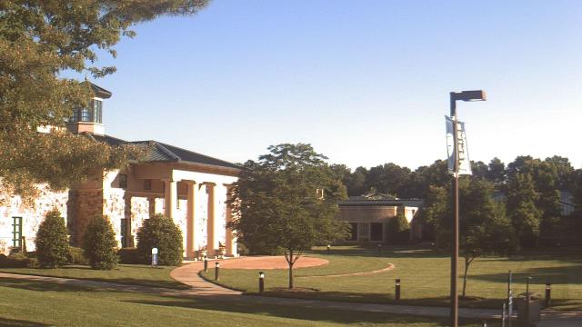
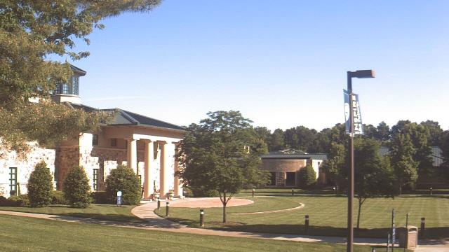
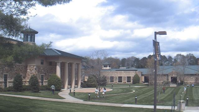
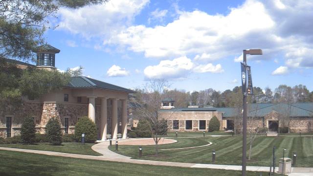
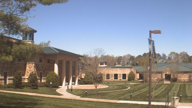
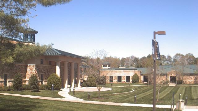
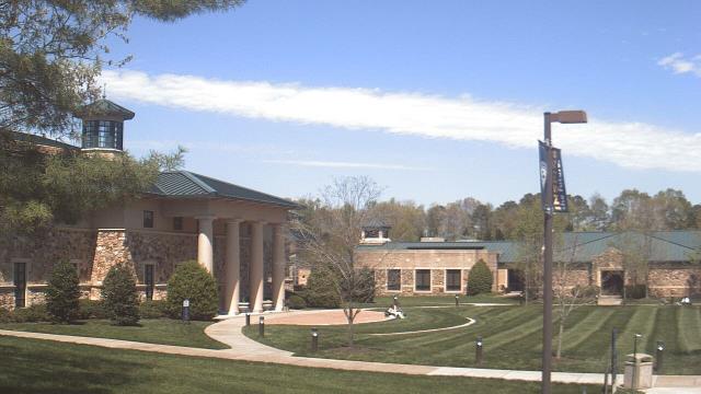
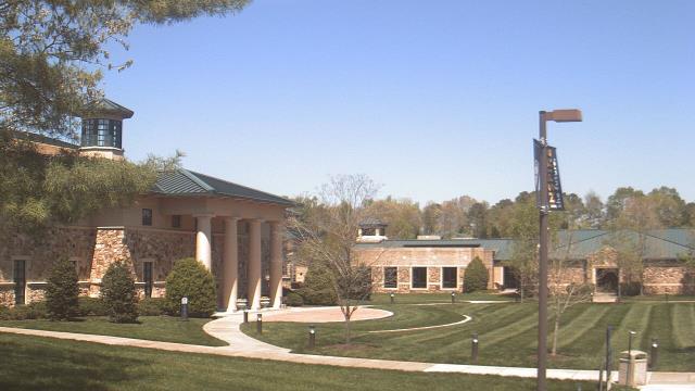
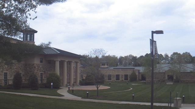
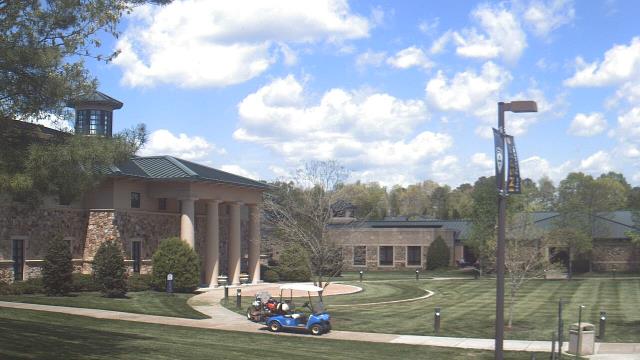
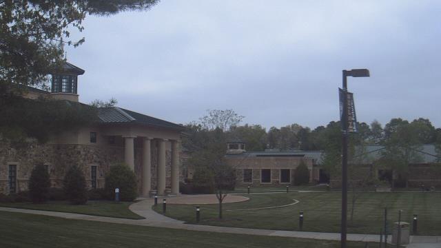
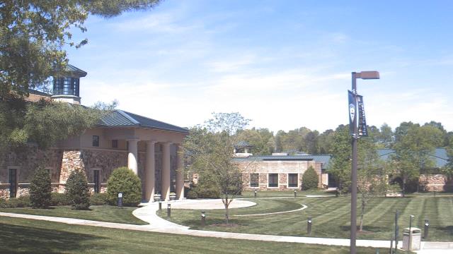
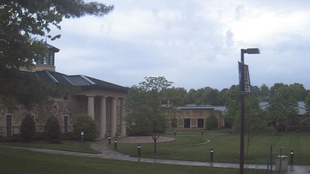
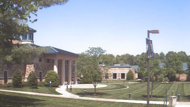
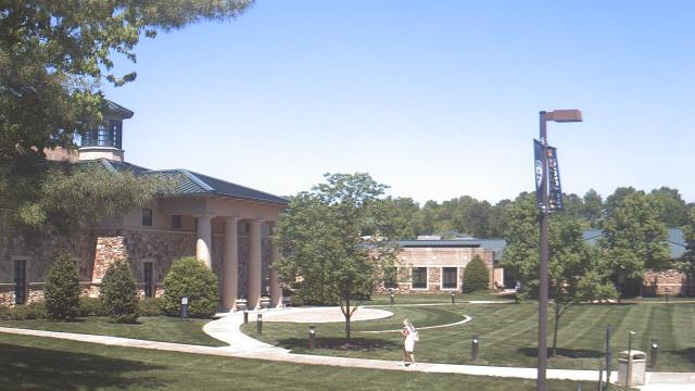
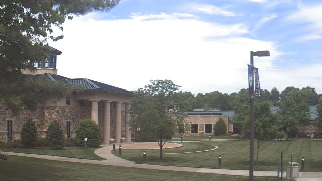
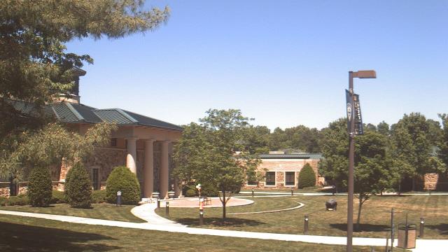
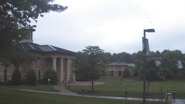
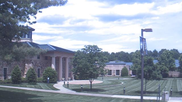
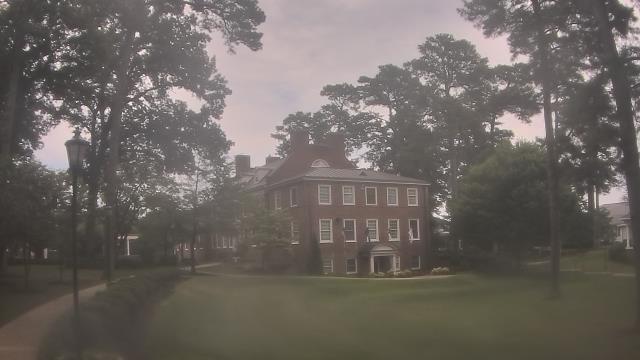
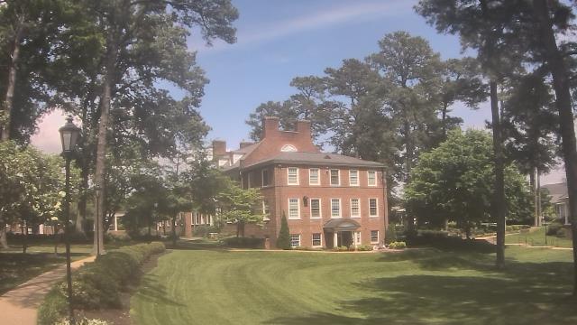
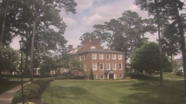
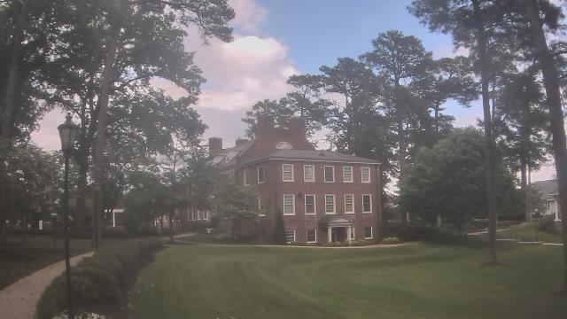
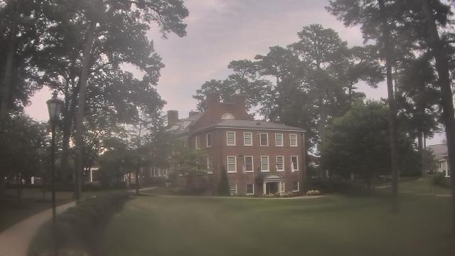
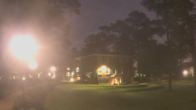
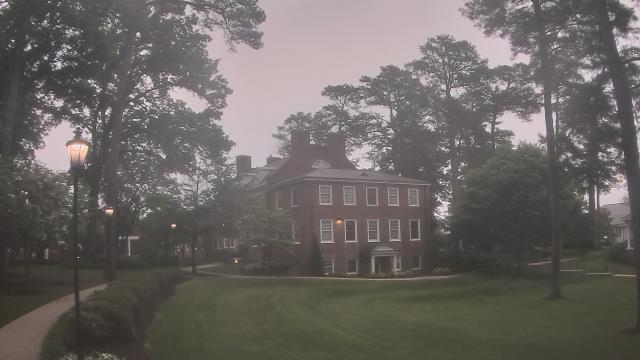
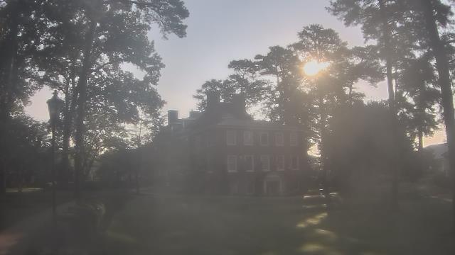
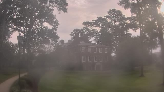
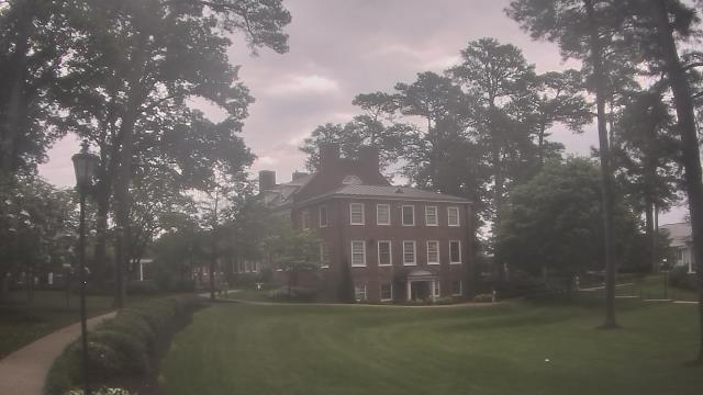
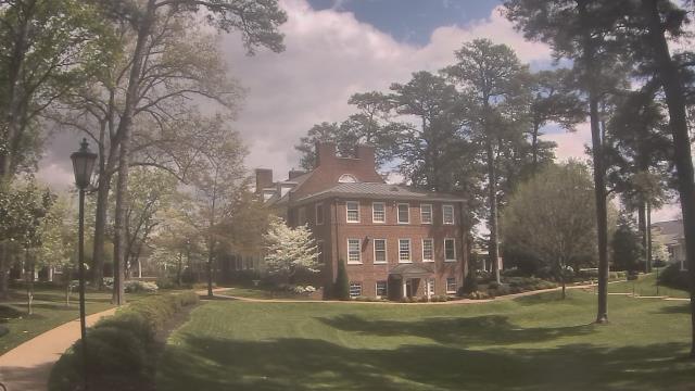
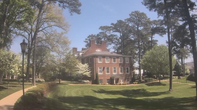
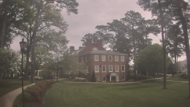
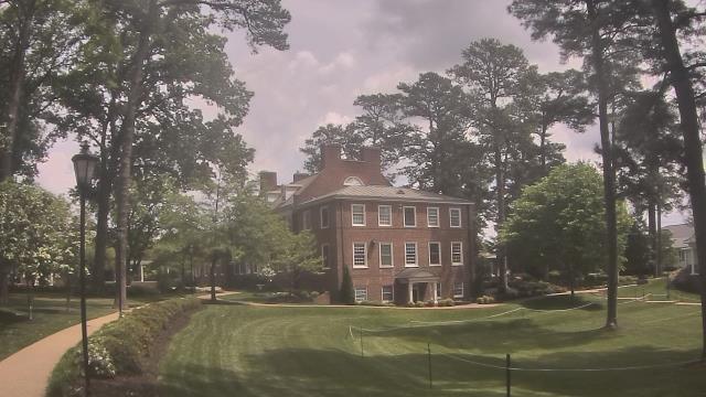
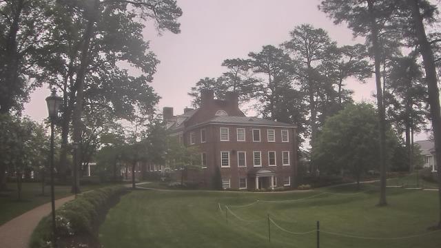
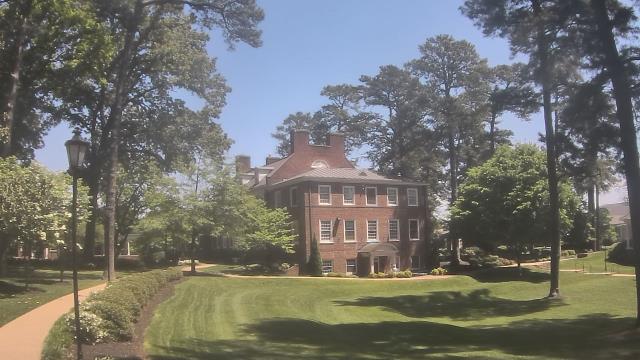
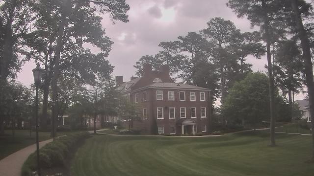
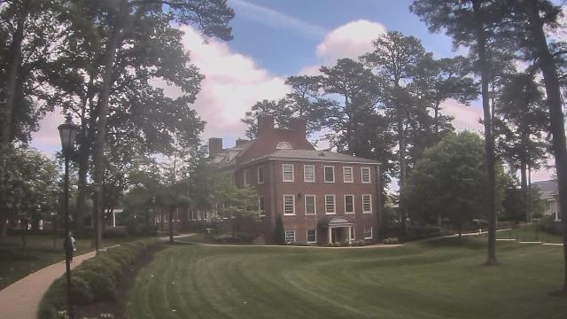
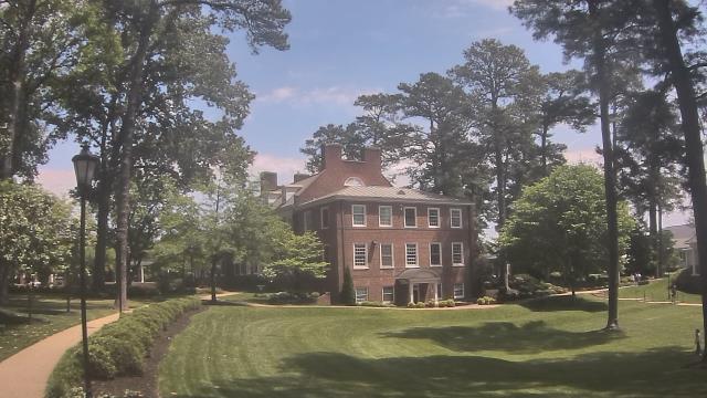
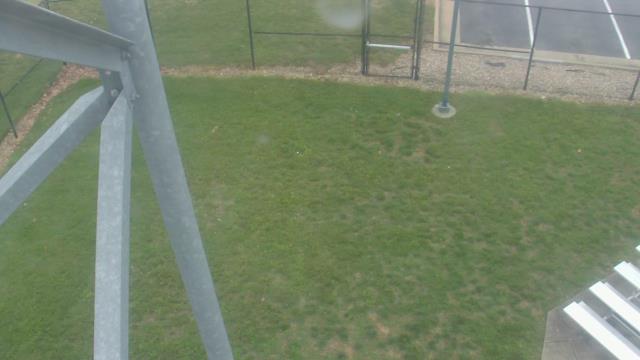
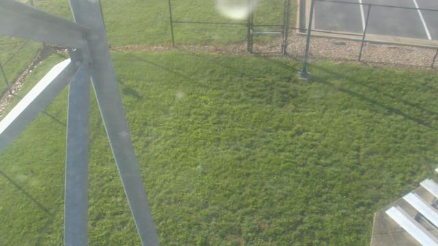
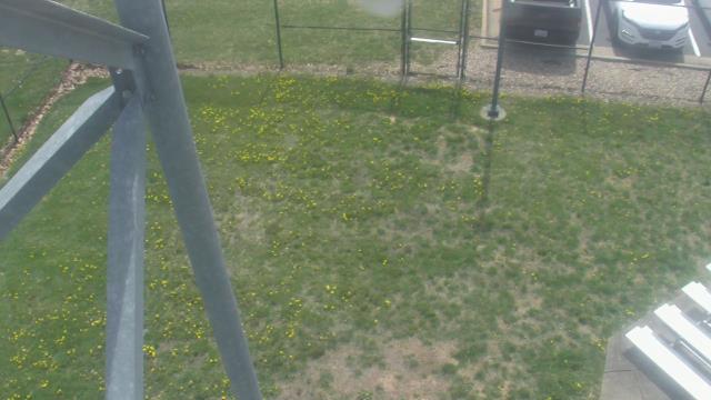
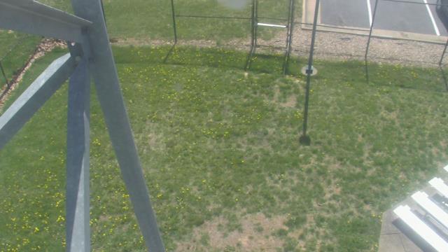
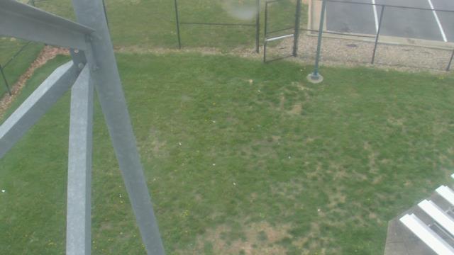
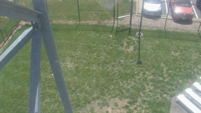
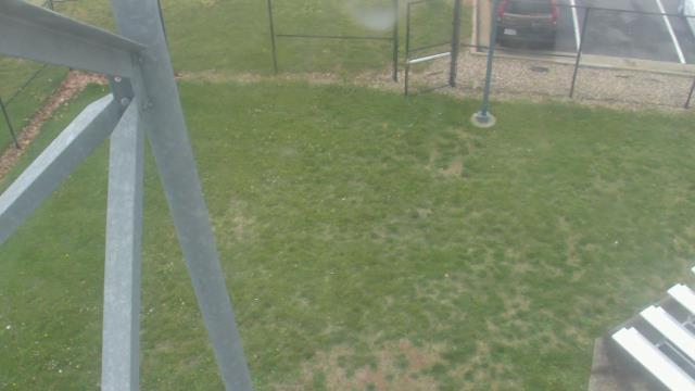
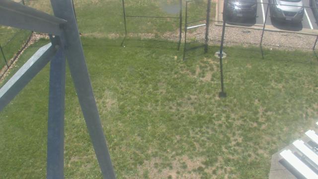
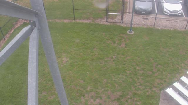
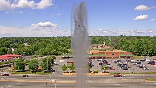
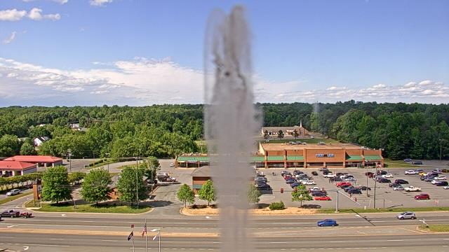
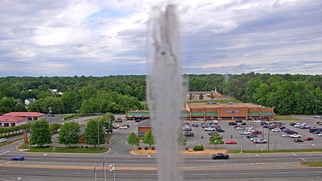
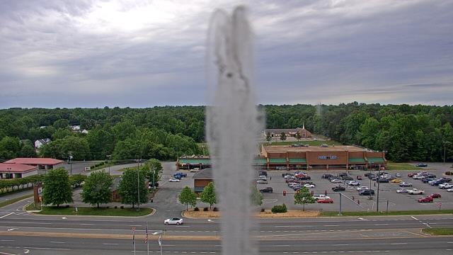
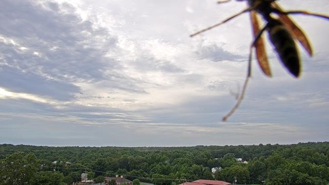
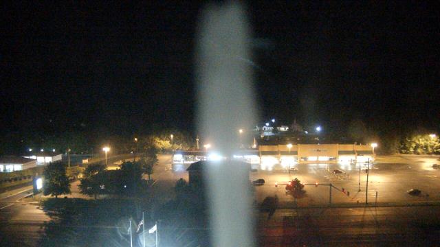
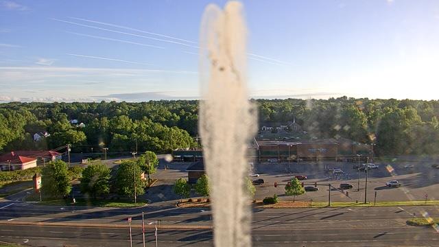
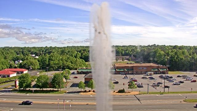
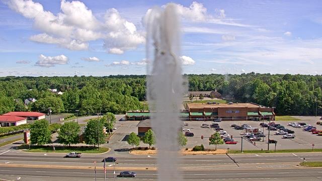
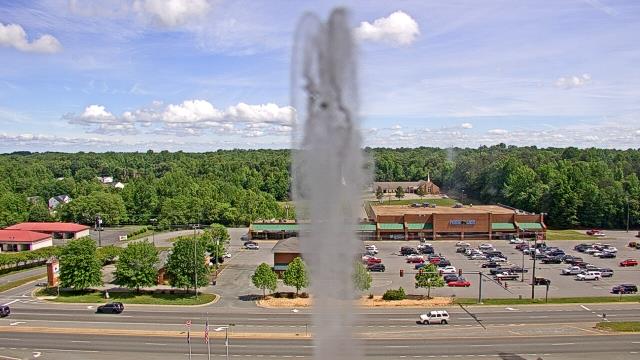
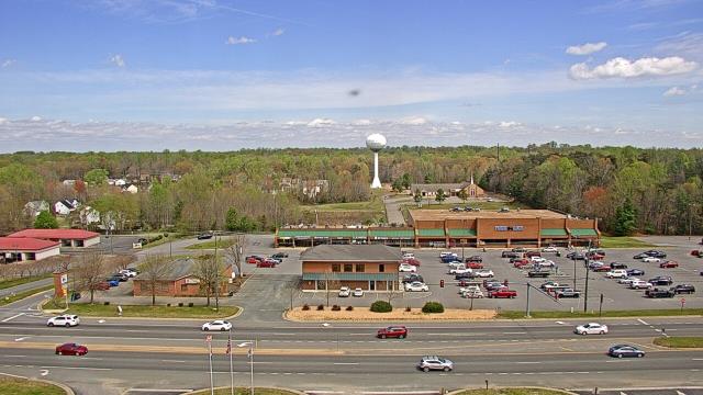
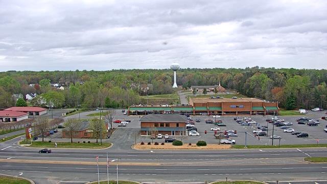
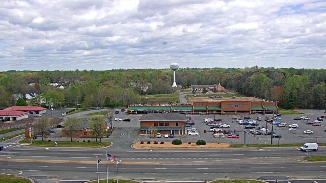
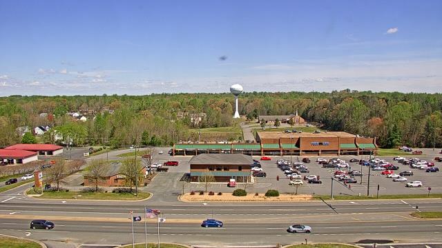
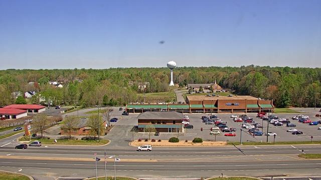
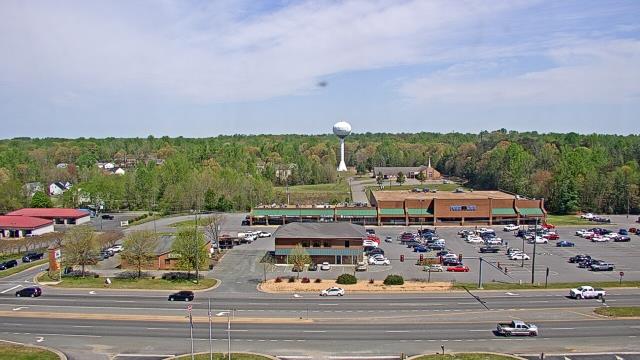
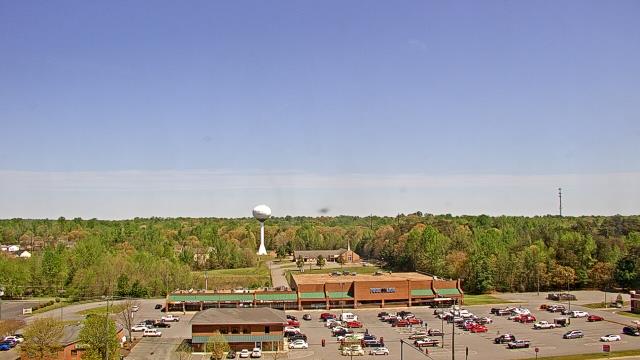
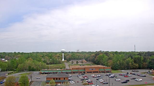
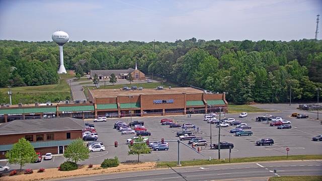
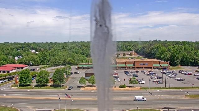
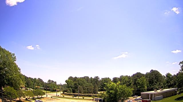
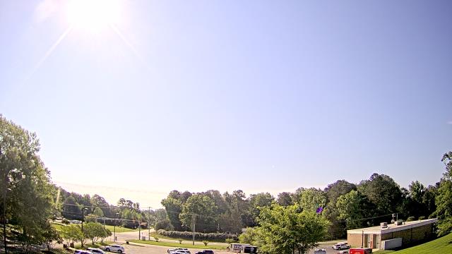
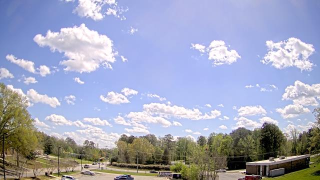
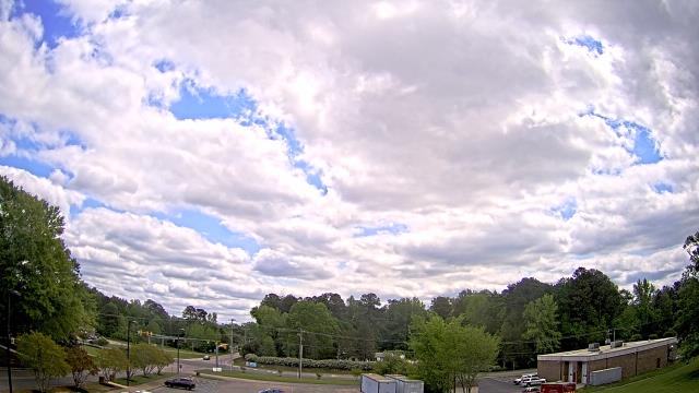
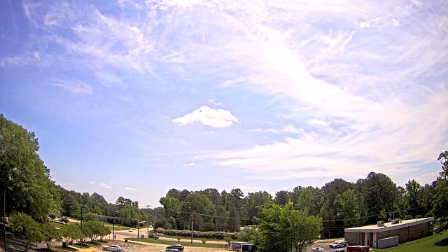
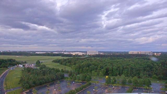
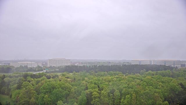
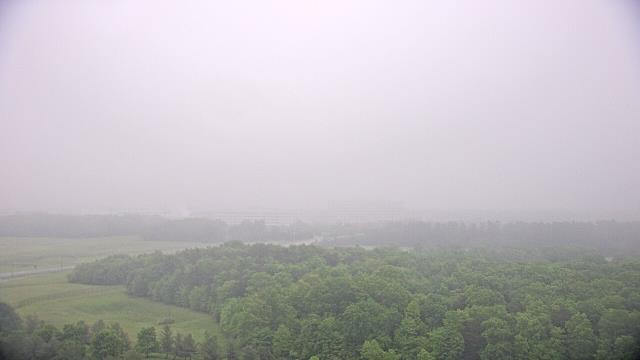
Goochland, Virginia, USA - 14.6 miles from Cranks (historical): Byrd Elementary School - A webcam in Goochland, Virginia - camera location: Byrd Elementary School.
Operator: WeatherBug
Operator: WeatherBug


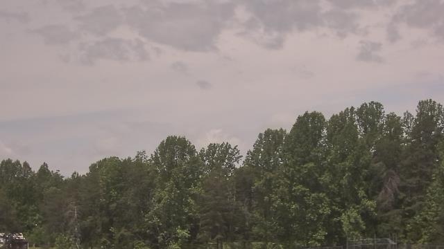
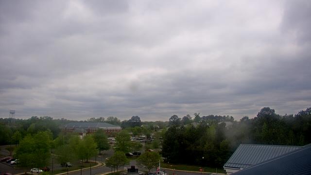
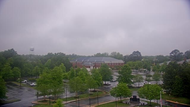
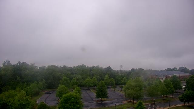
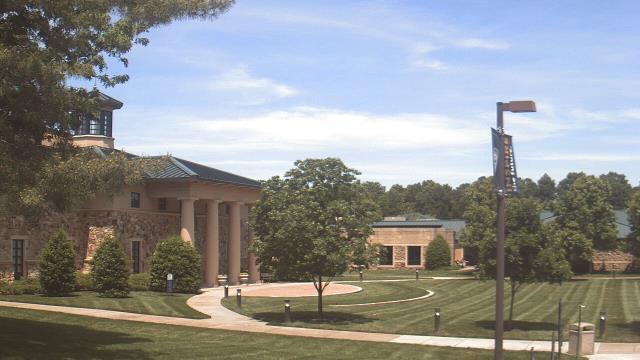
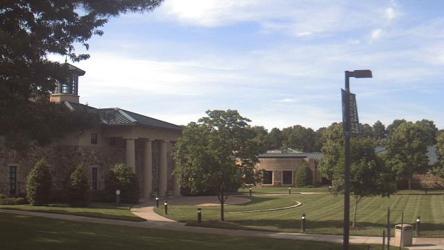
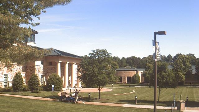
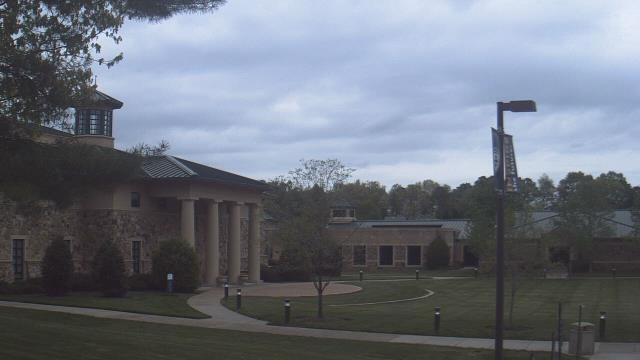
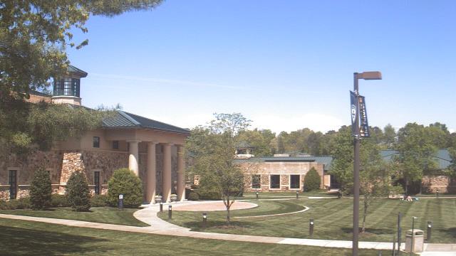
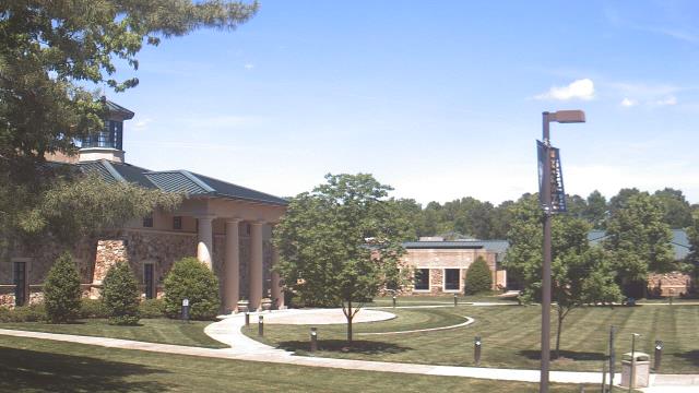
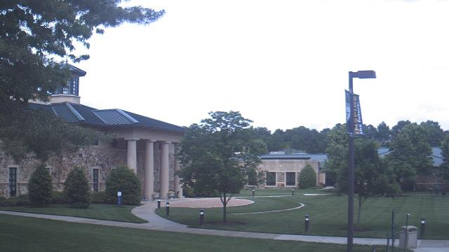
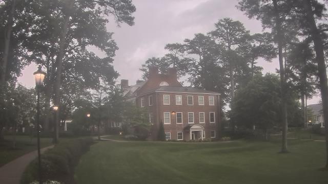
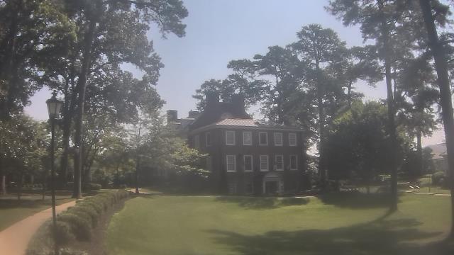
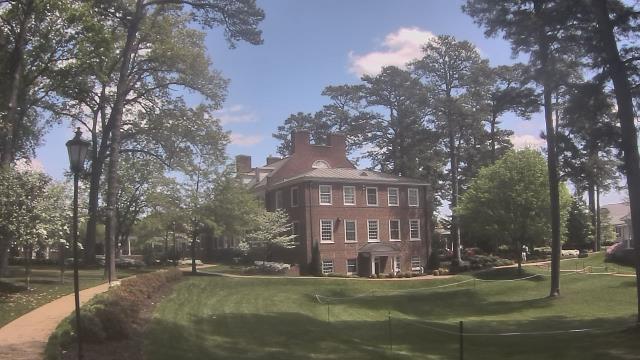
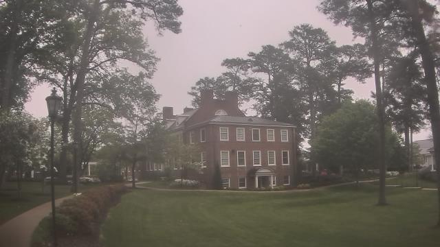
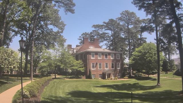
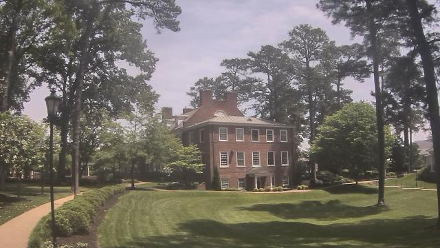
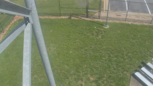
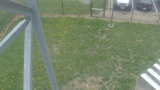
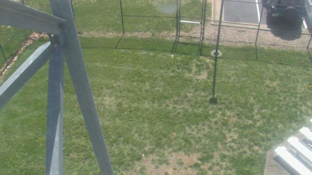
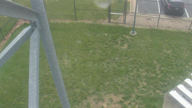
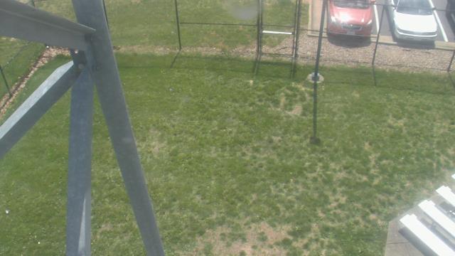
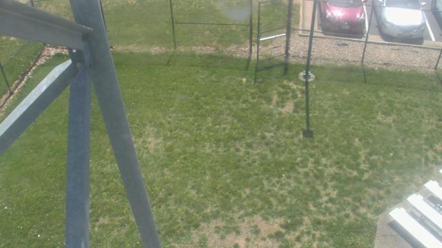
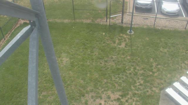
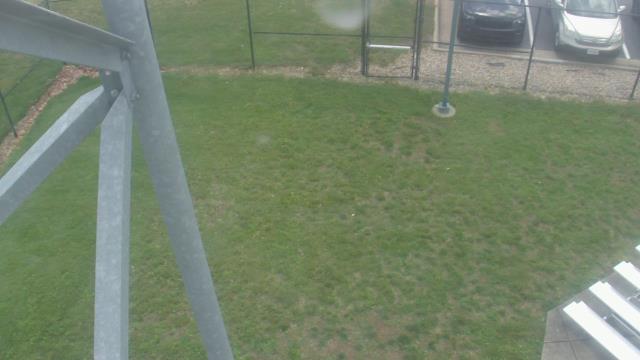
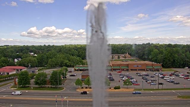
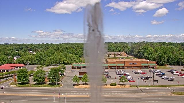
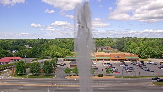
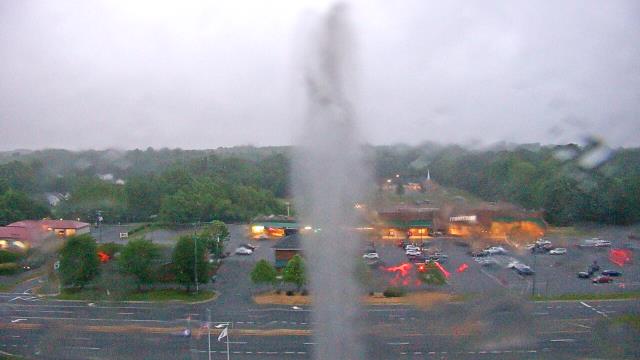
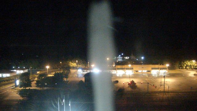
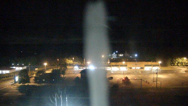
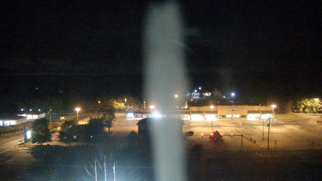
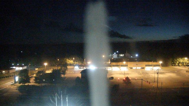
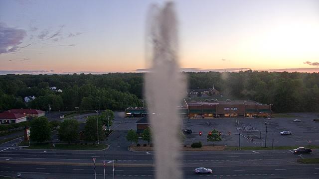
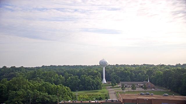
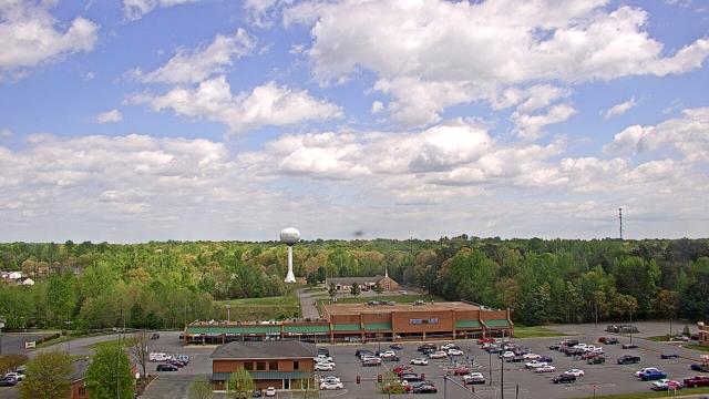
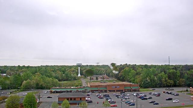
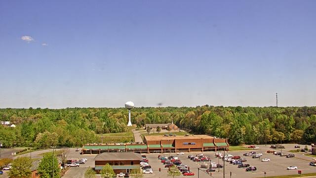
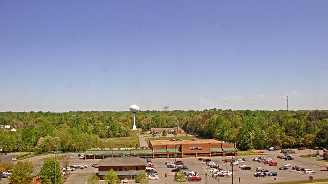
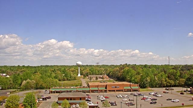
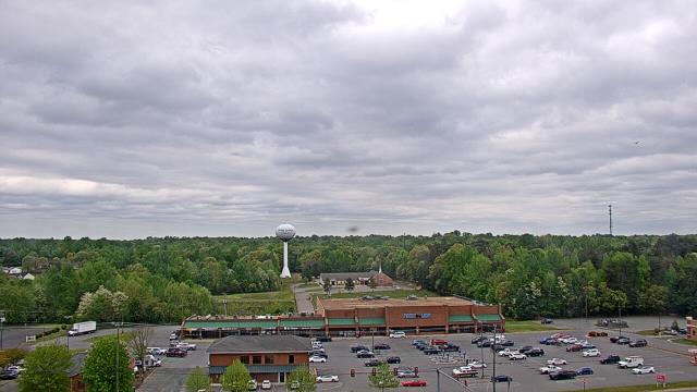
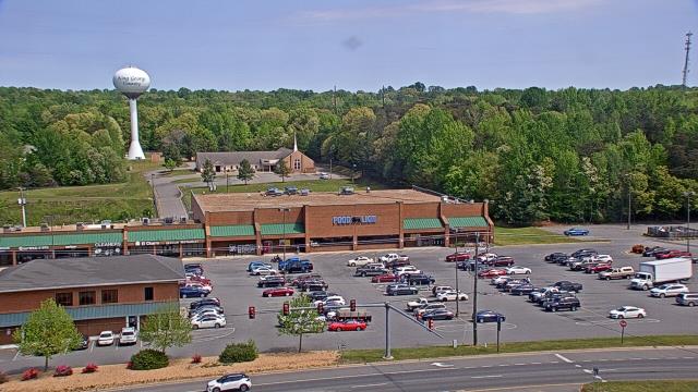
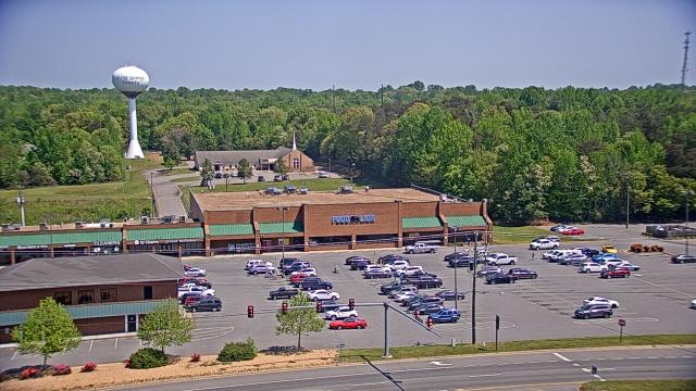
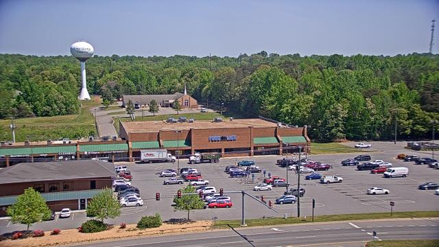
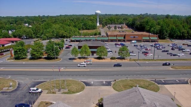
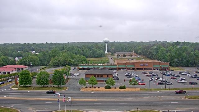
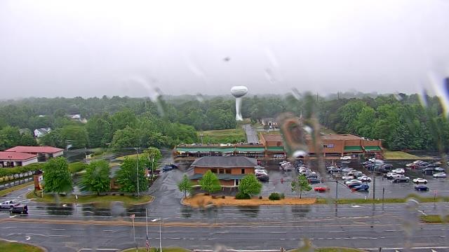
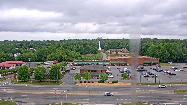
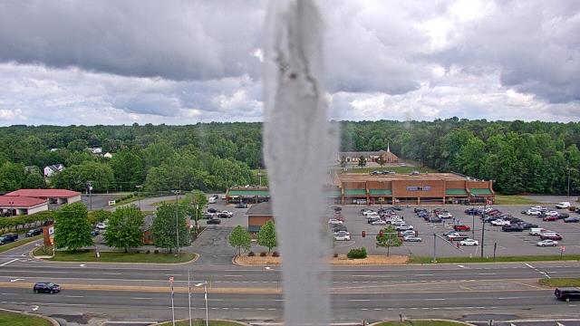
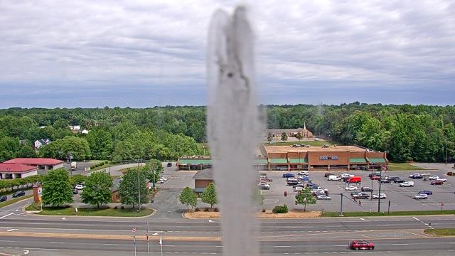
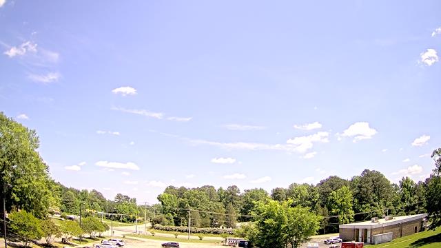
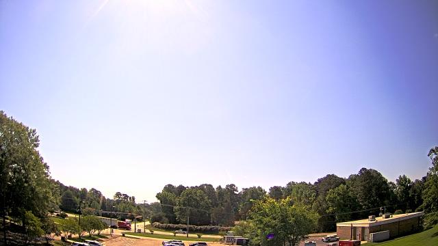
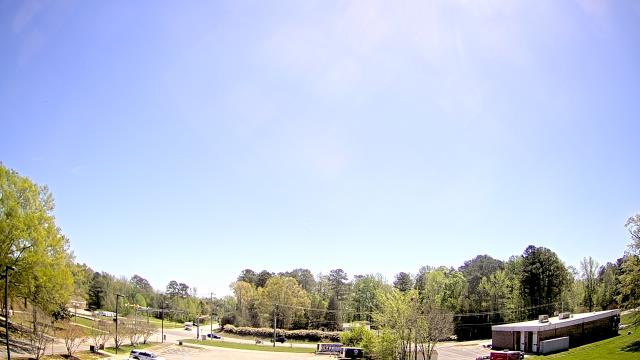
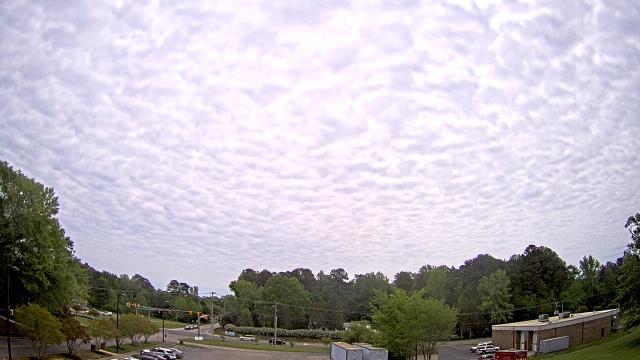
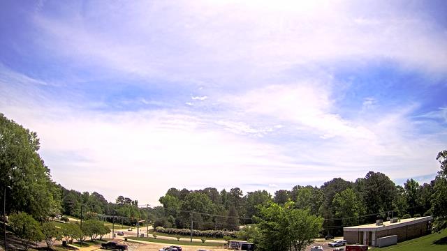
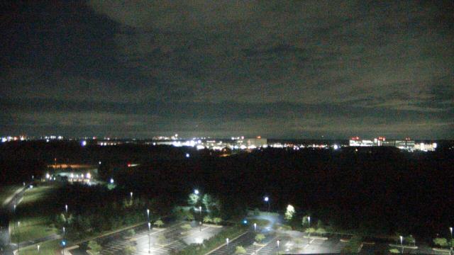
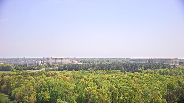
Spotsylvania, Virginia, USA - 33.8 miles from Cranks (historical): Spotsylvania County Fire and Rescue - A webcam in Spotsylvania, Virginia - camera location: Spotsylvania County Fire and Rescue.
Operator: WeatherBug
Operator: WeatherBug
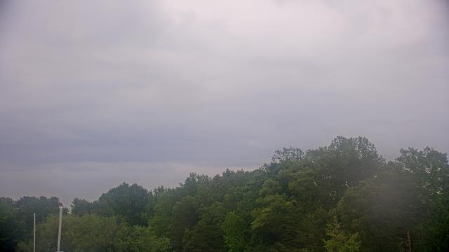


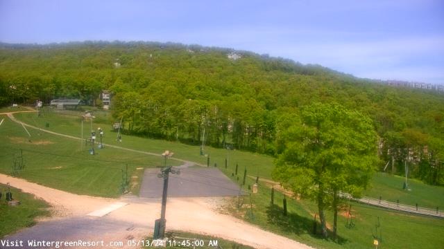
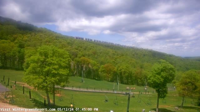
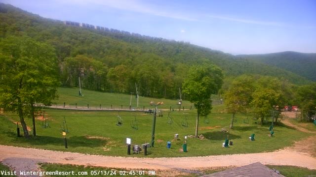
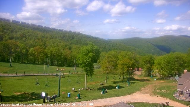
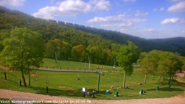
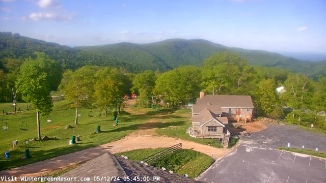
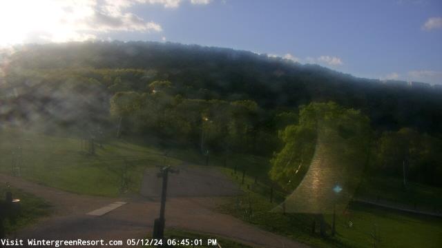
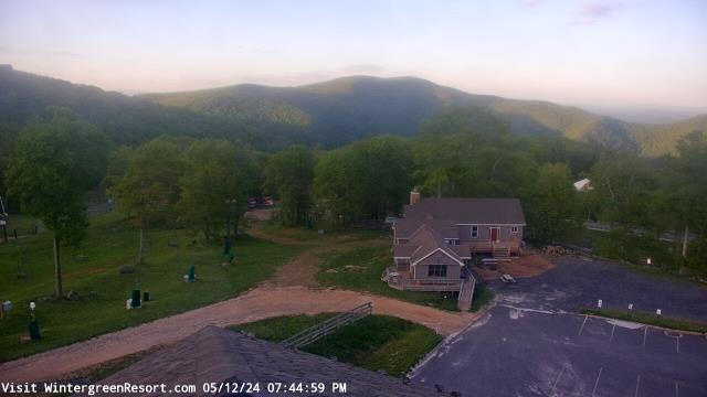
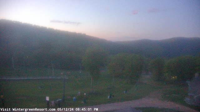
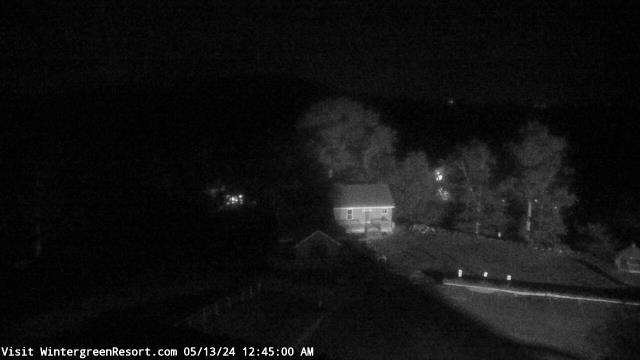
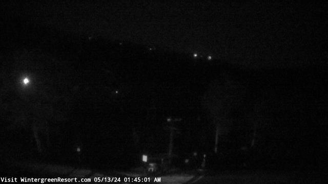
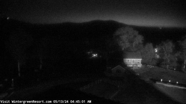
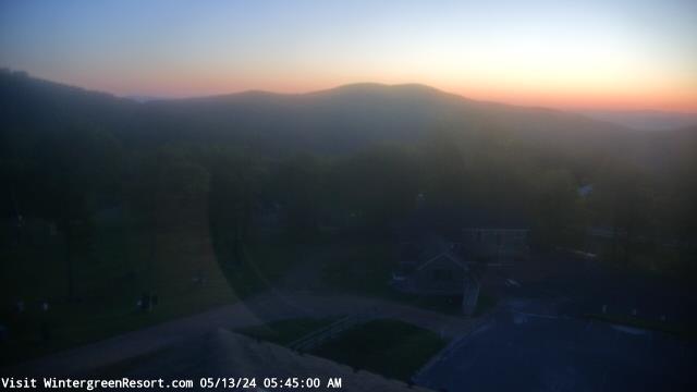
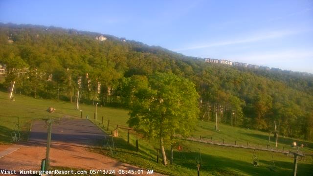
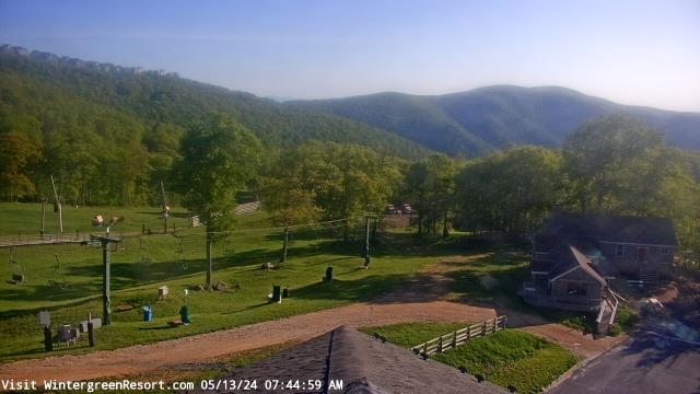
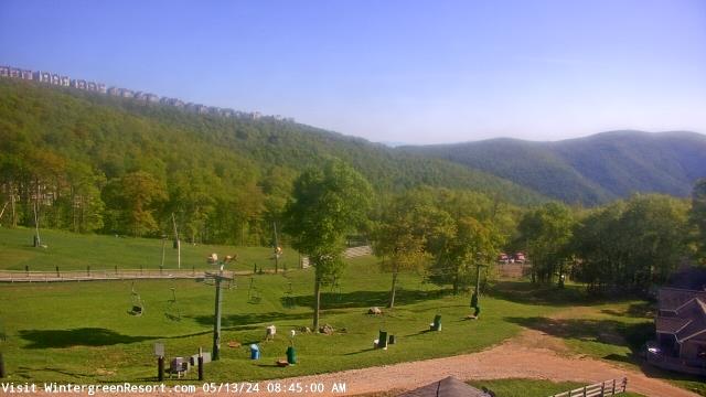
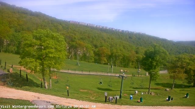
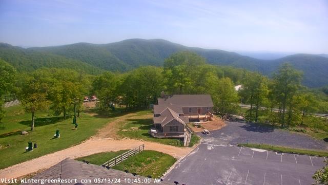
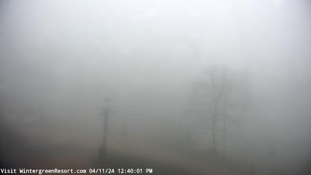
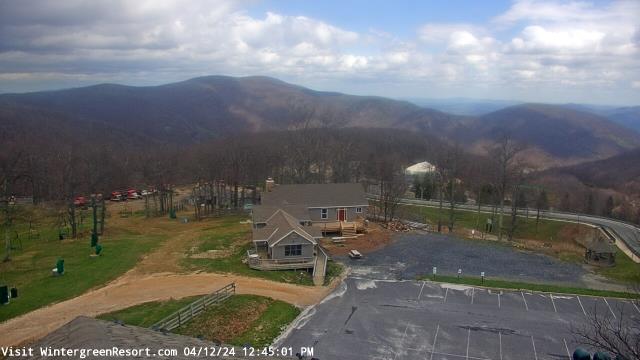
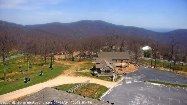
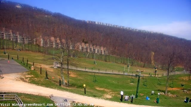
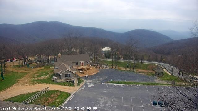
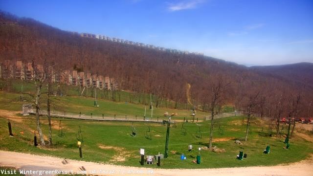
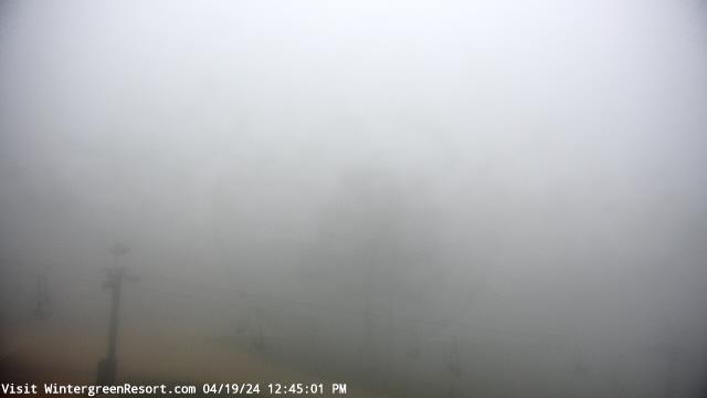
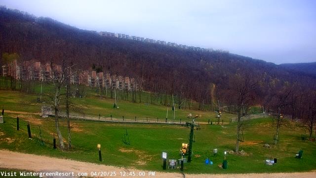
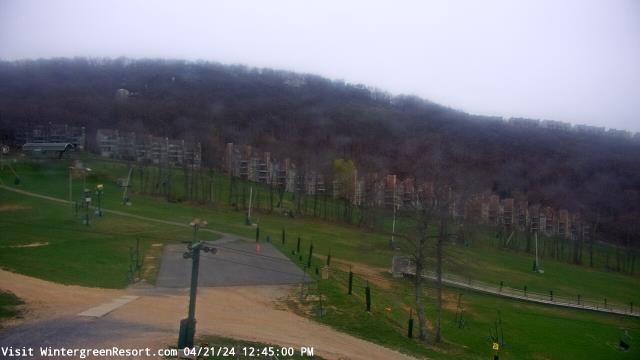
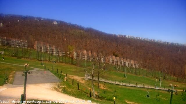
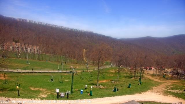
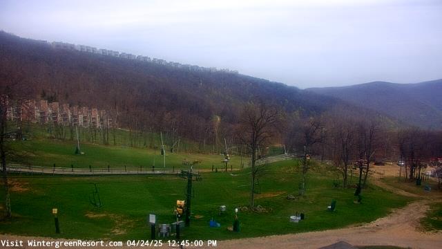
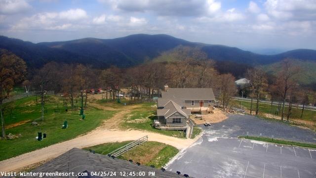
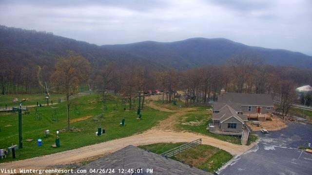
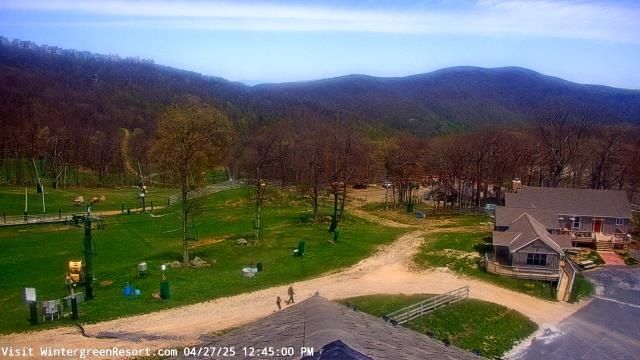
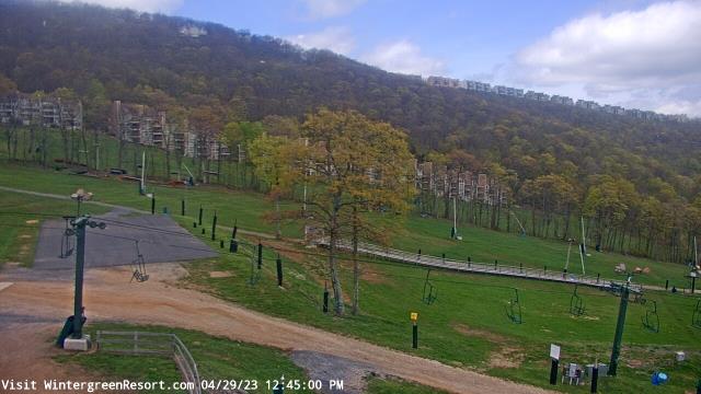
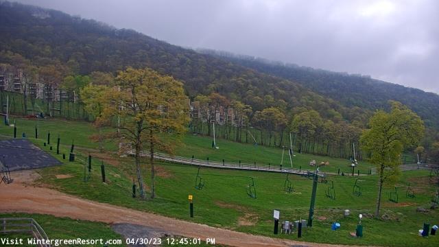
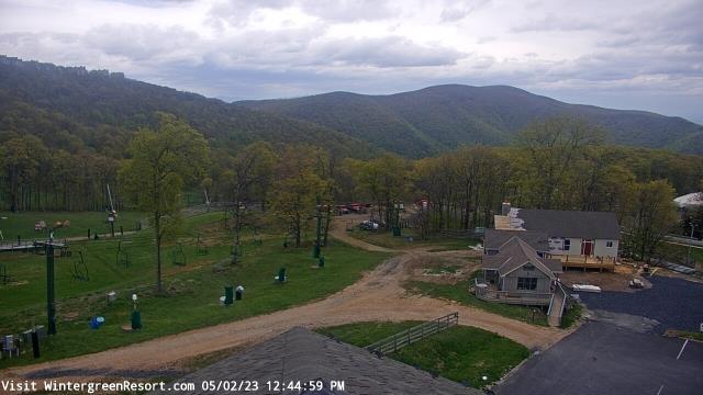
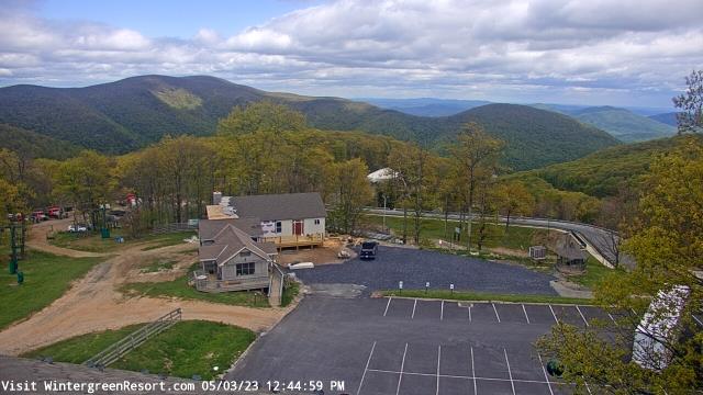
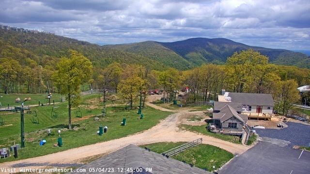
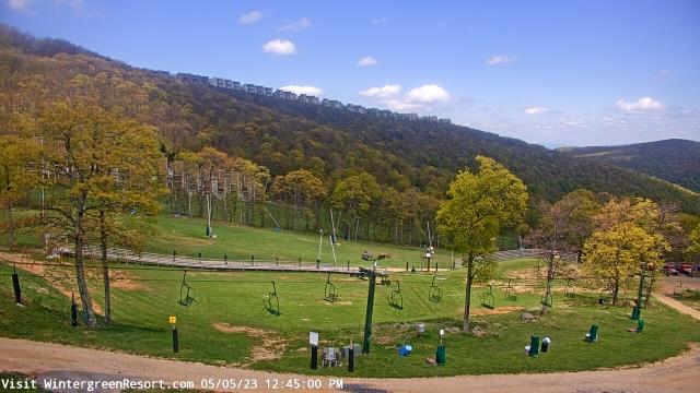
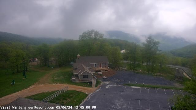
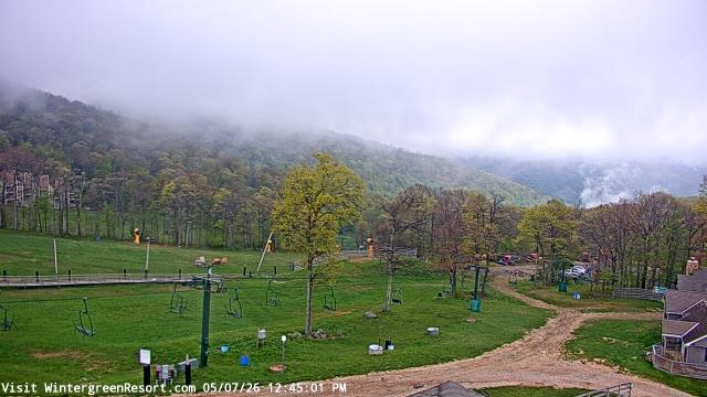
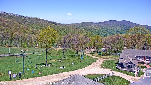
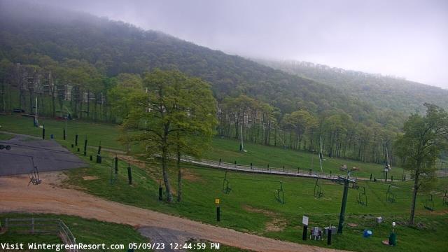
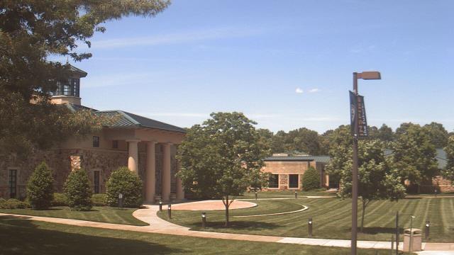
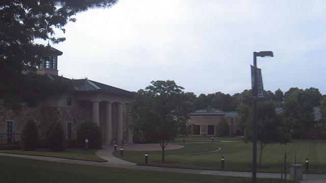
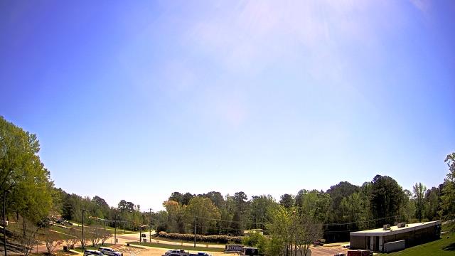
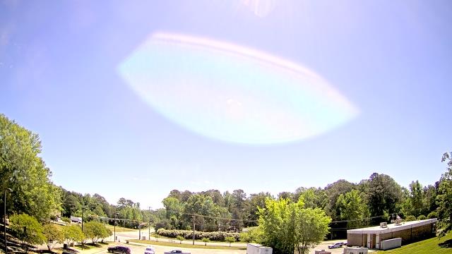
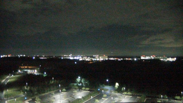
Nellysford, Virginia, USA - 40.5 miles from Cranks (historical): Wintergreen Mtn. at 3650 ft. elev. - A webcam in Nellysford, Virginia - camera location: Wintergreen Mtn. at 3650 ft. elev..
Operator: WeatherBug
Operator: WeatherBug


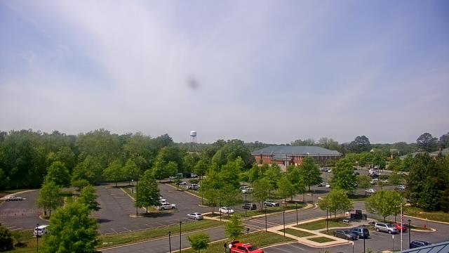
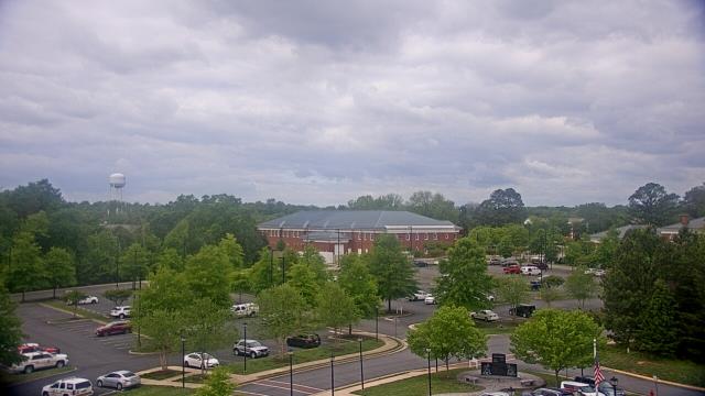
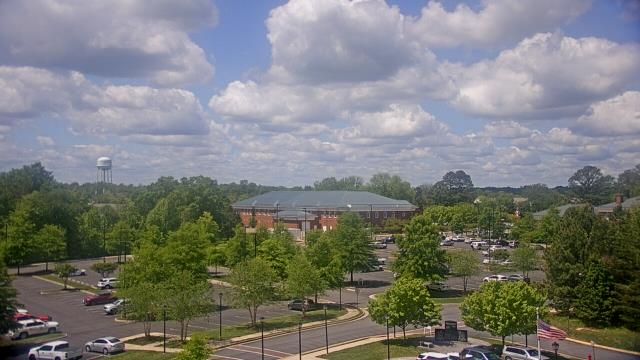
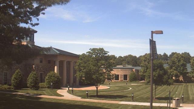
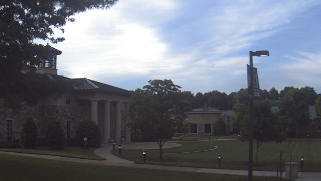
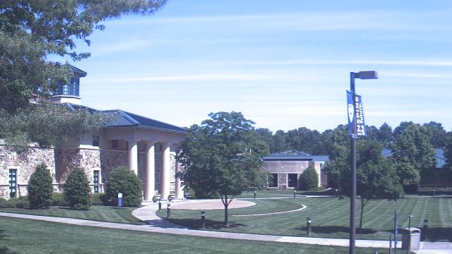
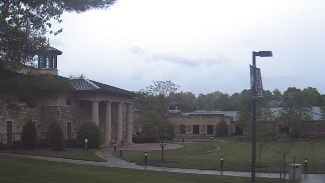
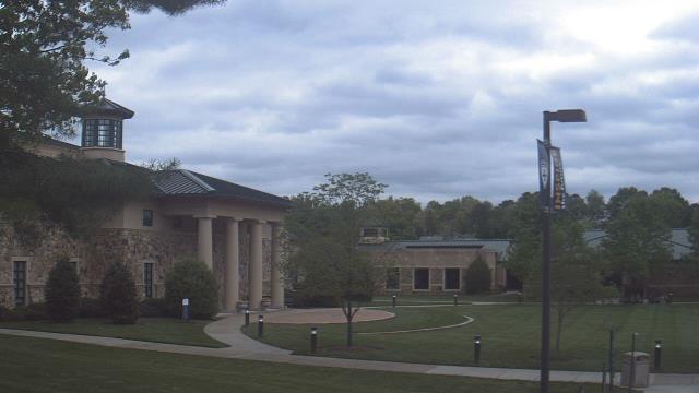
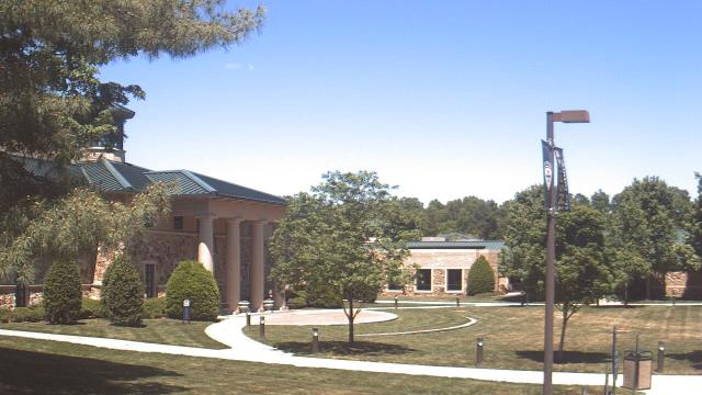
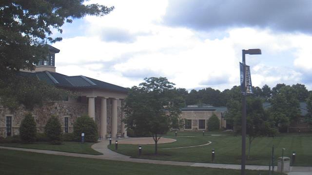
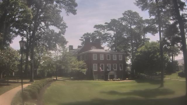
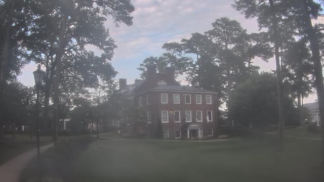
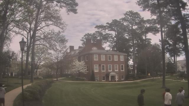
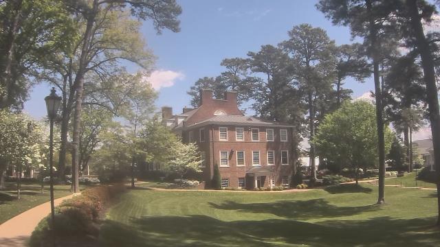
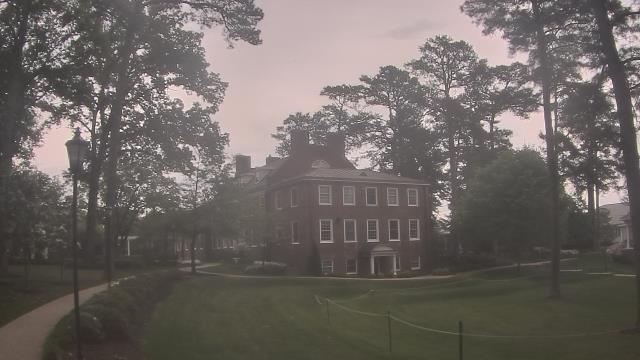
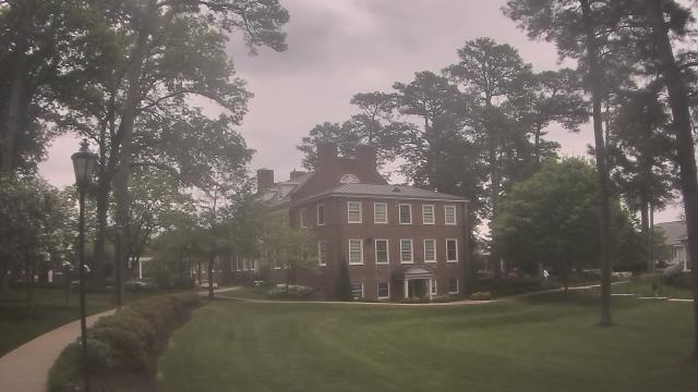
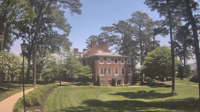
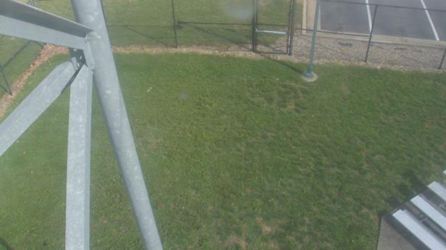
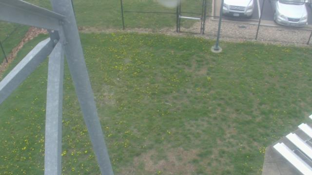
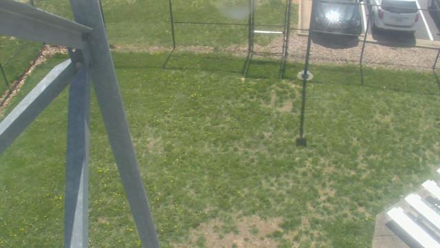
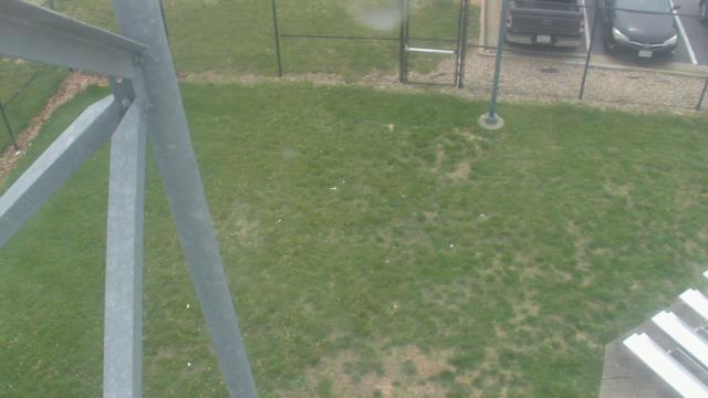
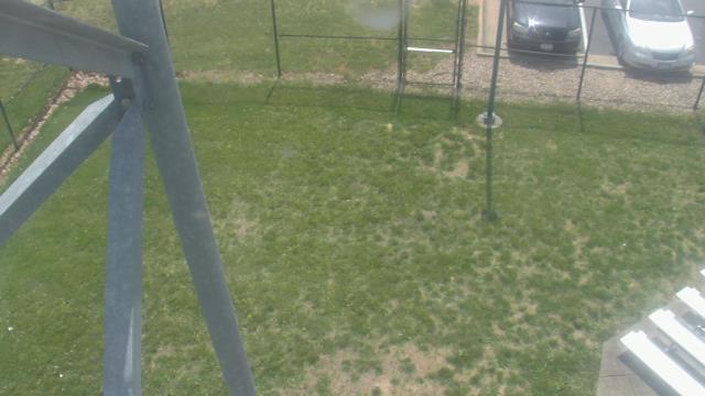
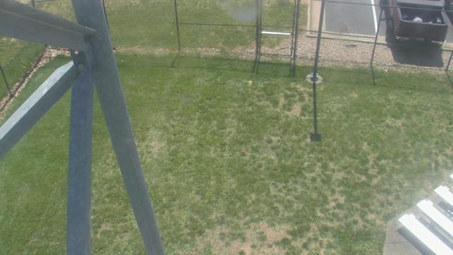
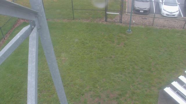
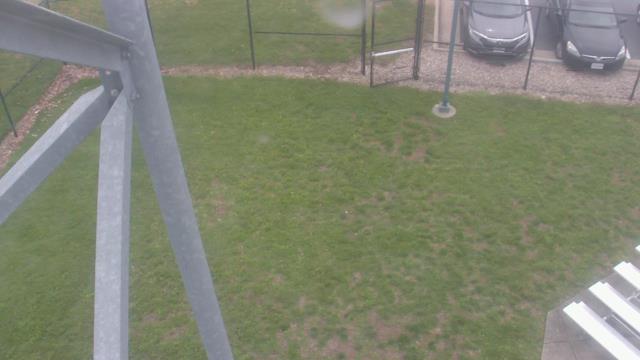
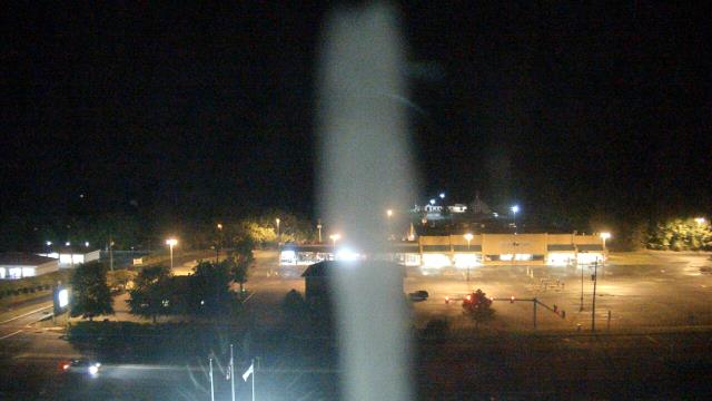
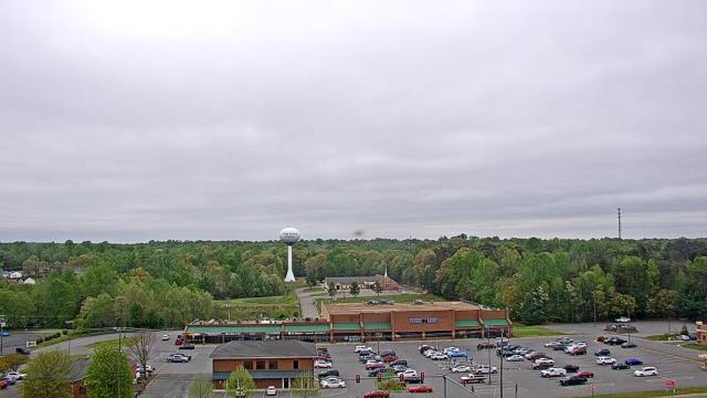
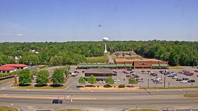
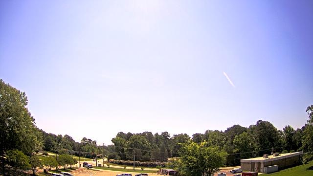
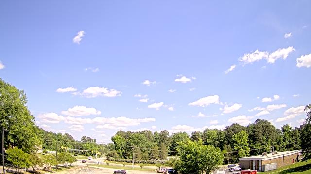
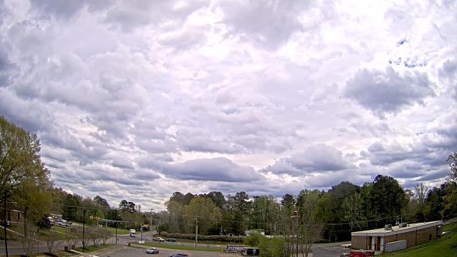
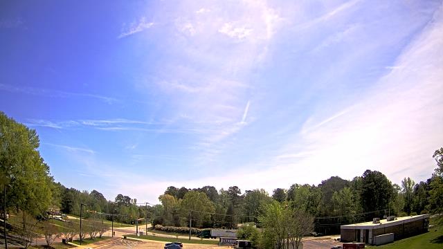
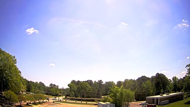
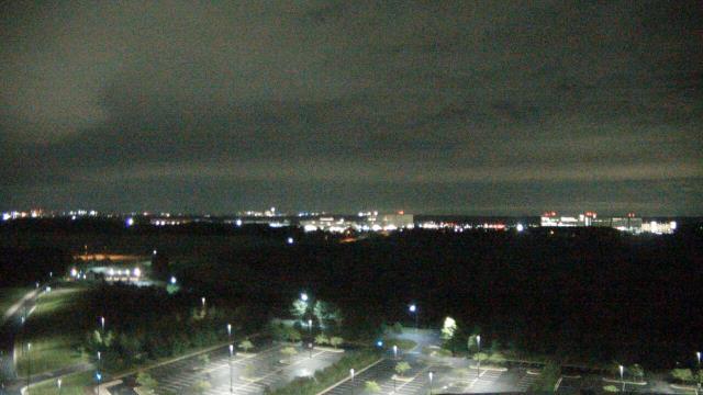
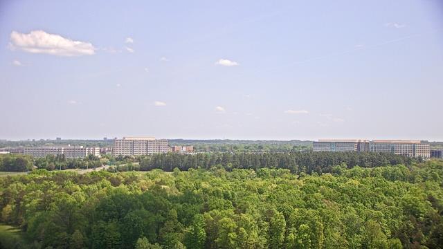
Richmond, Virginia, USA - 48.3 miles from Cranks (historical): The Steward School - A webcam in Richmond, Virginia - camera location: The Steward School.
Operator: WeatherBug
Operator: WeatherBug


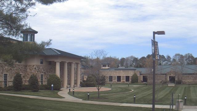
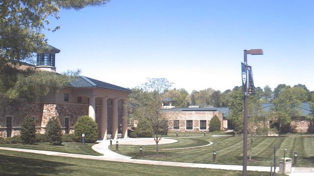
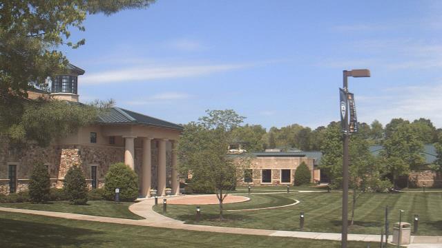
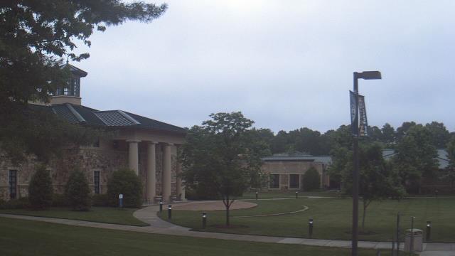
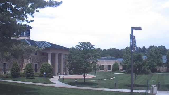
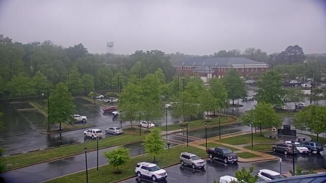
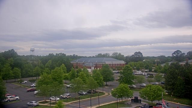
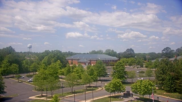
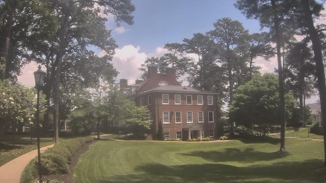
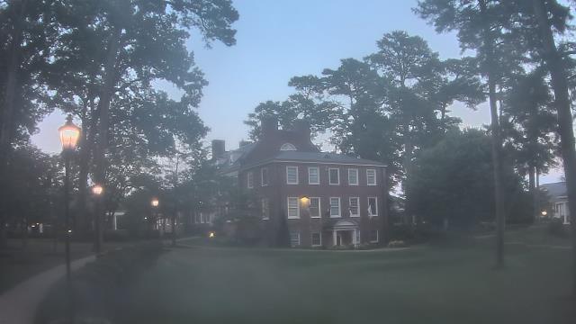
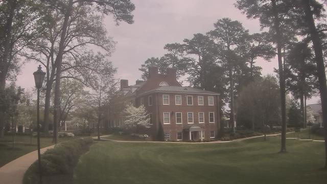
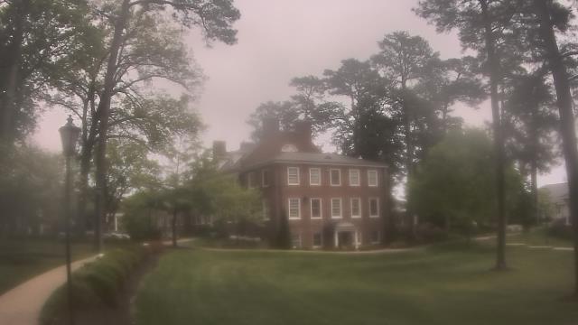
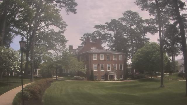
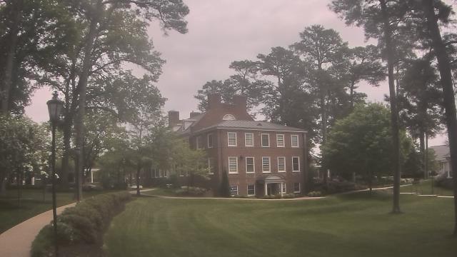
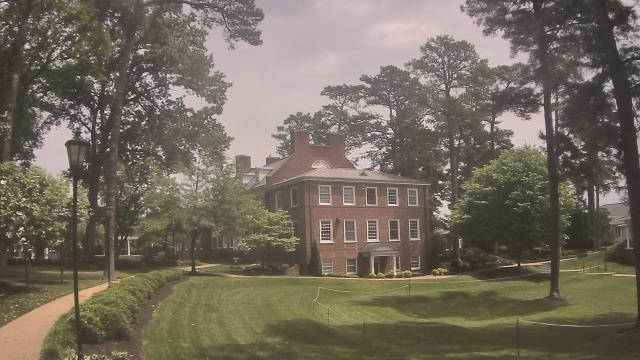
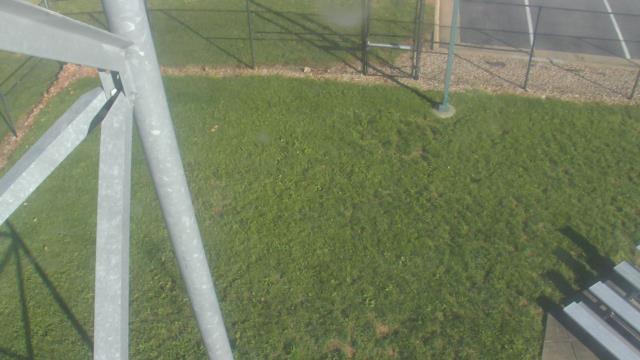
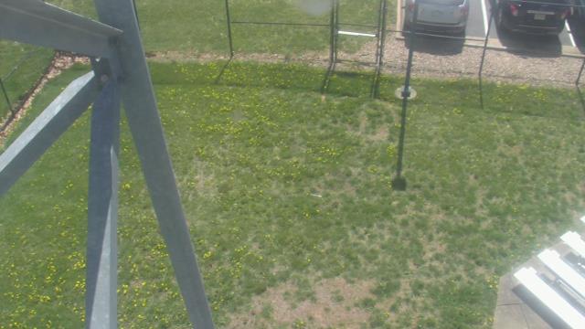
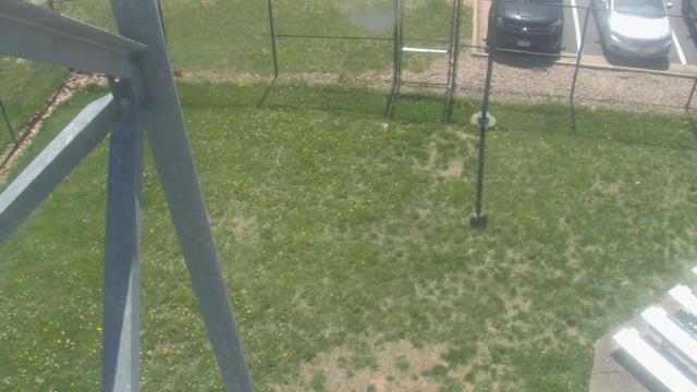
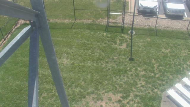
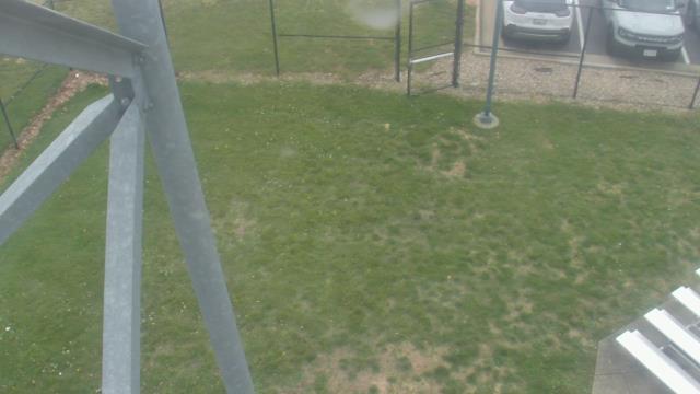
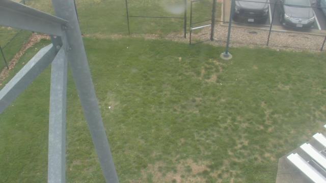
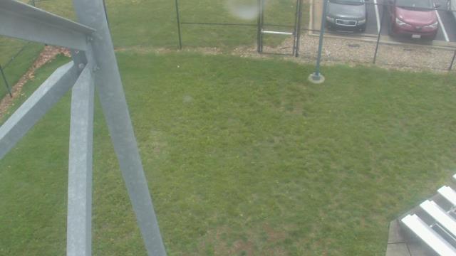
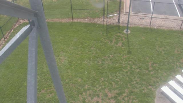
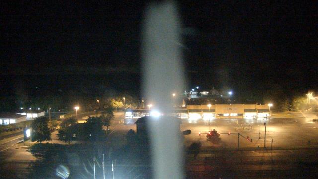
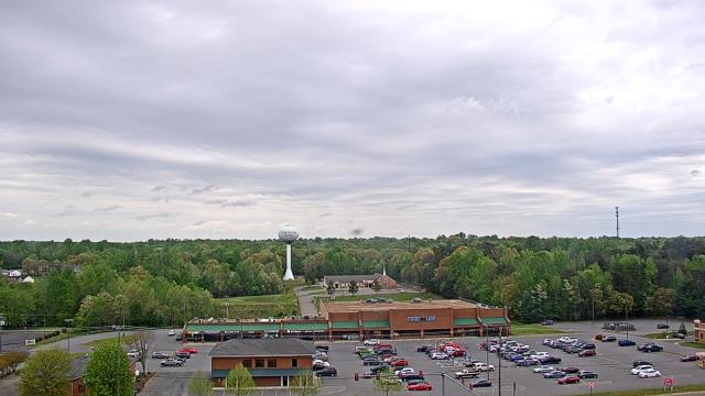
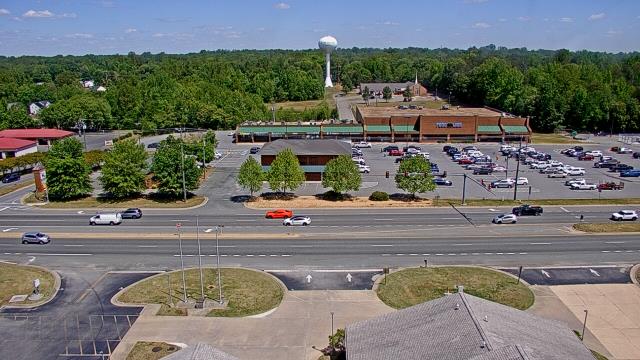
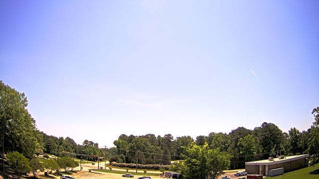
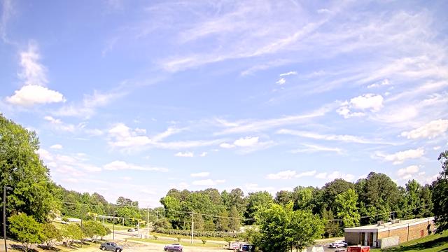
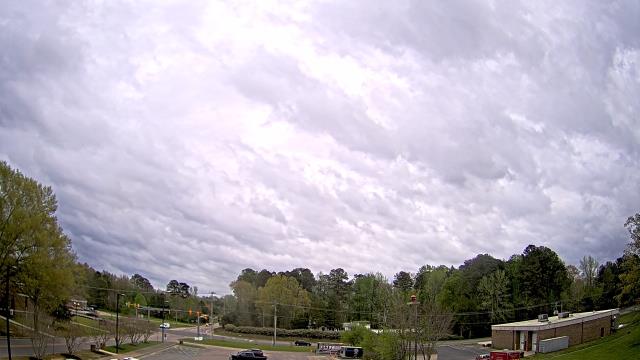
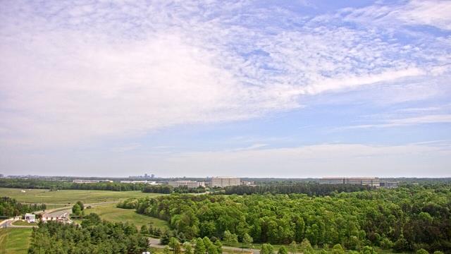
Richmond, Virginia, USA - 48.3 miles from Cranks (historical): St. Christophers School - Webcam and current weather data - camera location: St. Christophers School.
Operator: WeatherBug
Operator: WeatherBug


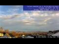
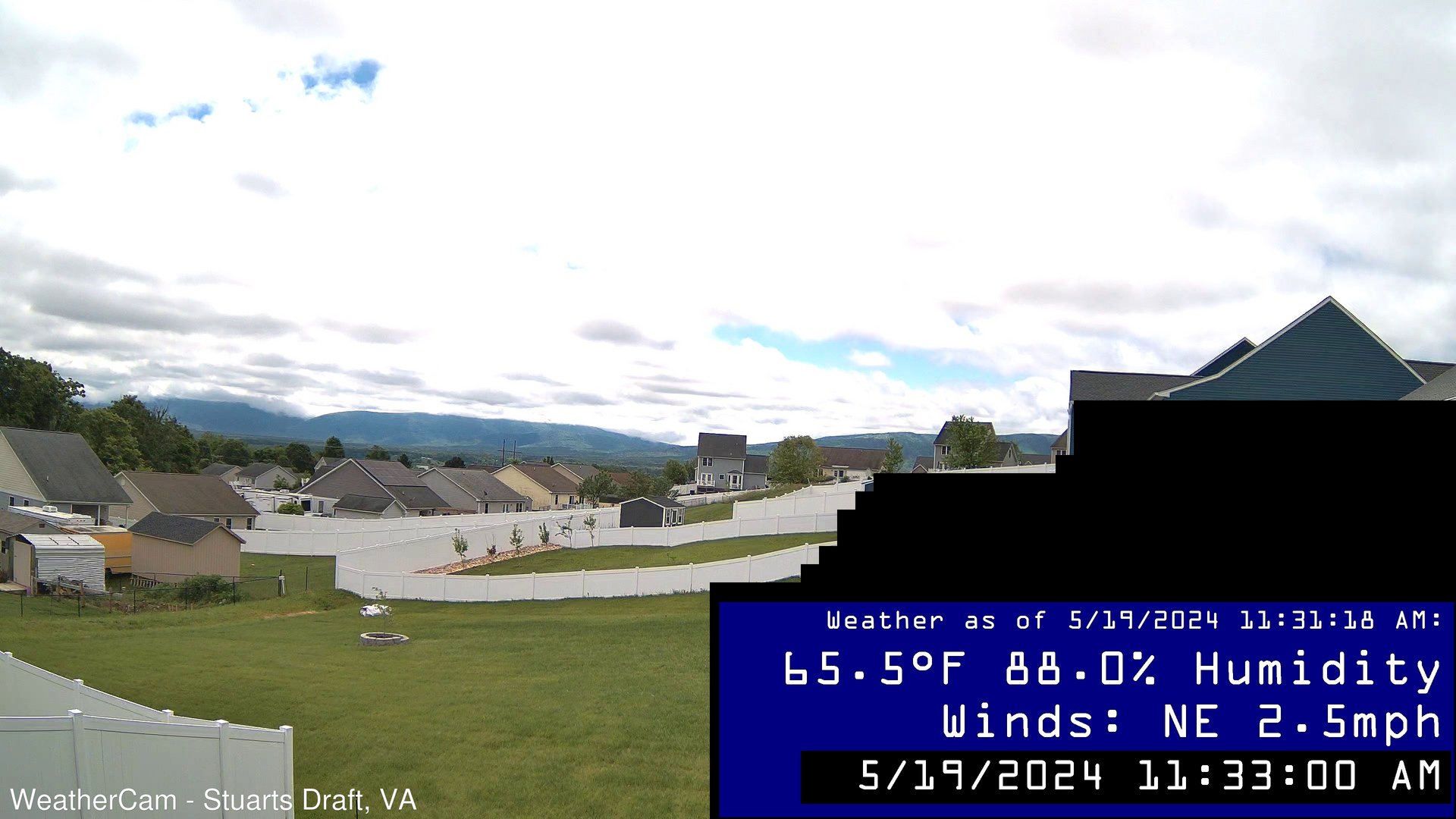
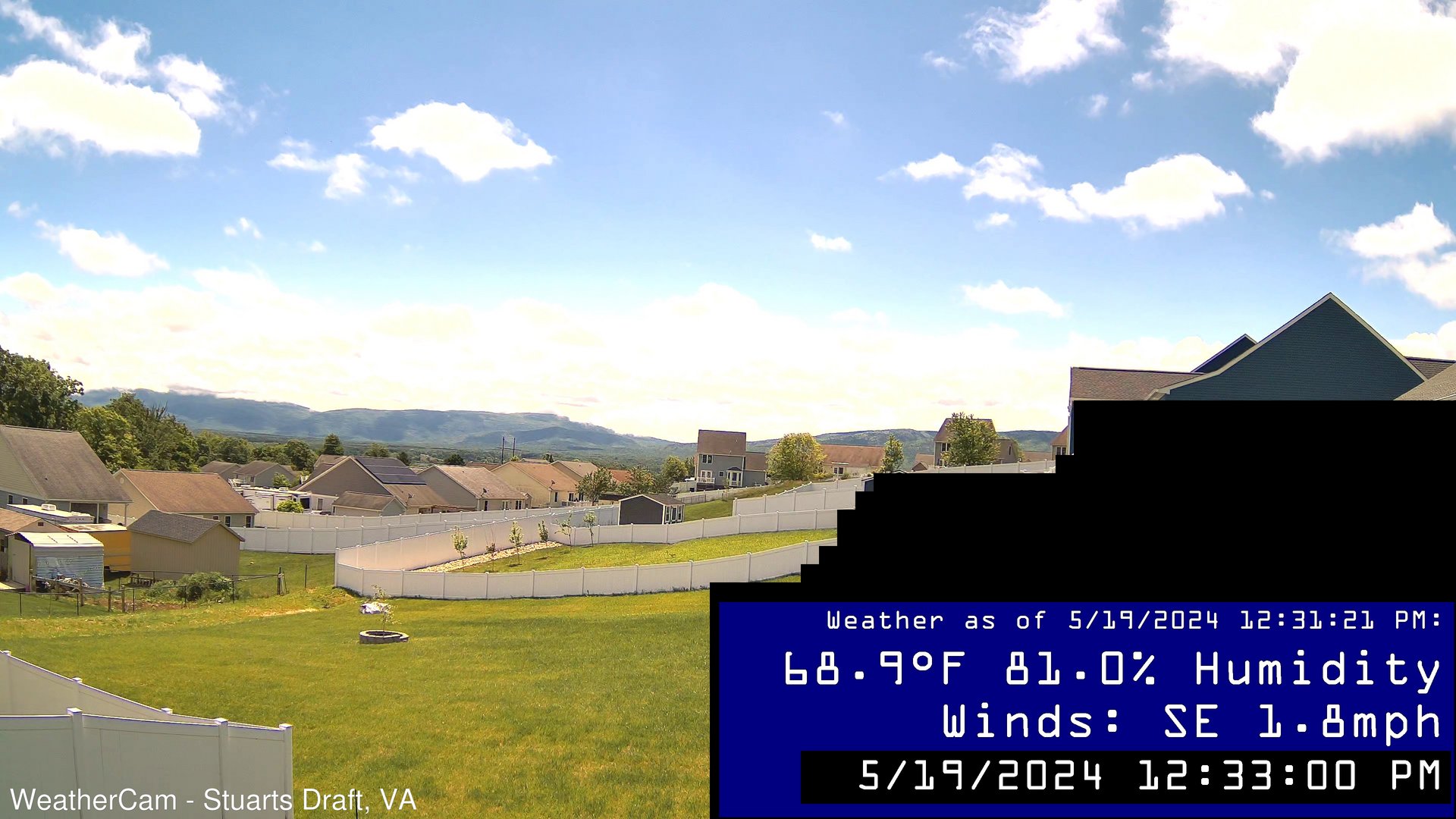
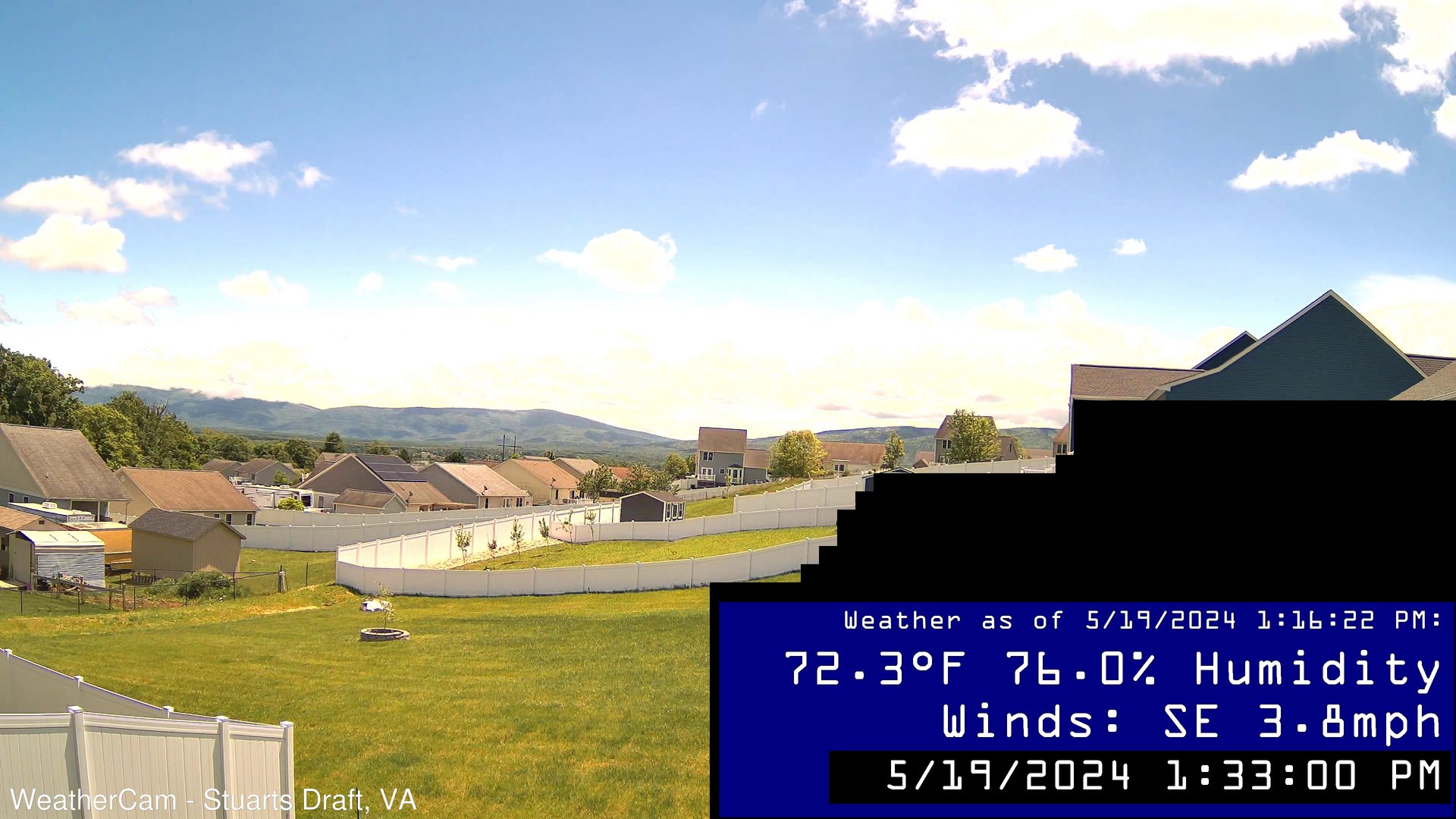
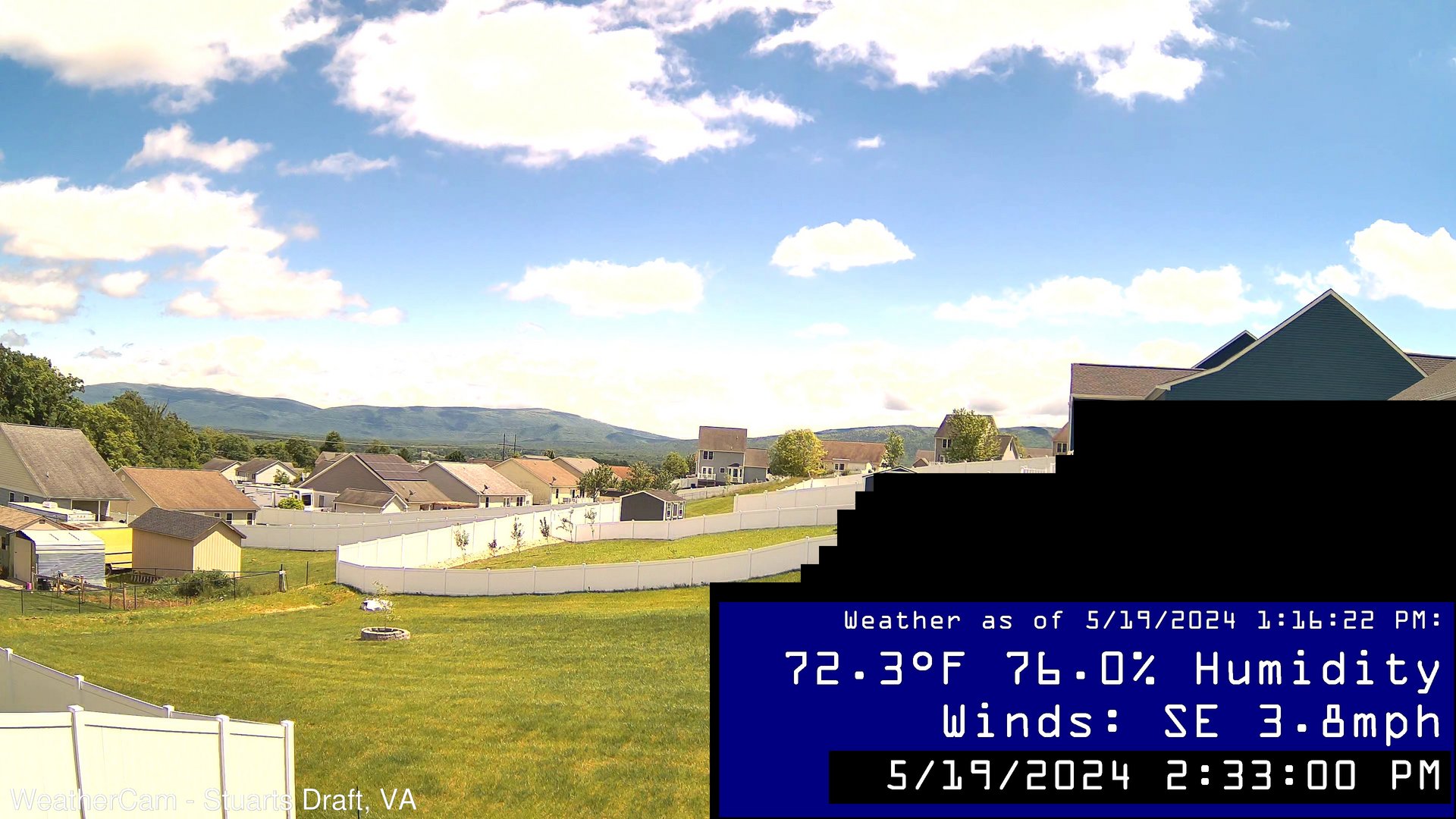
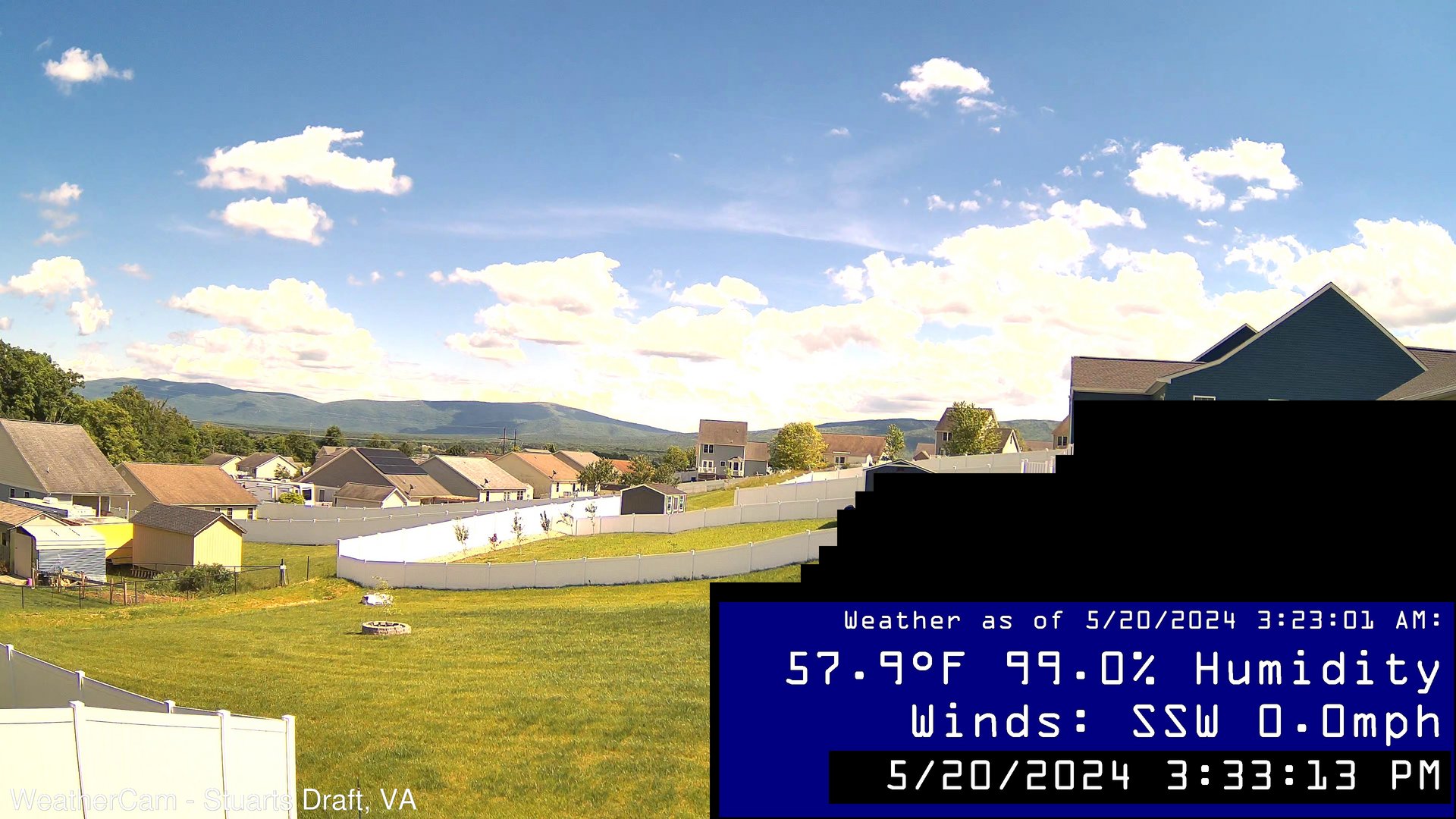
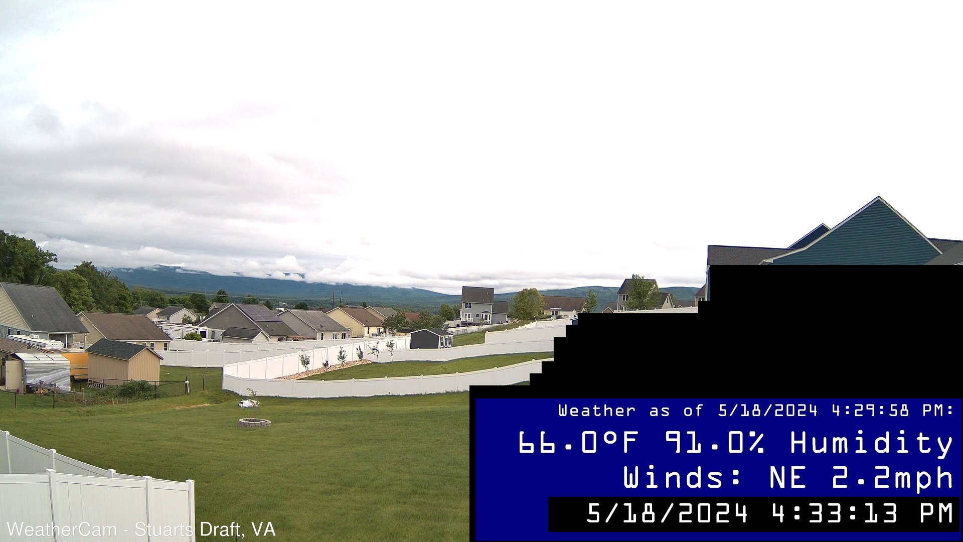
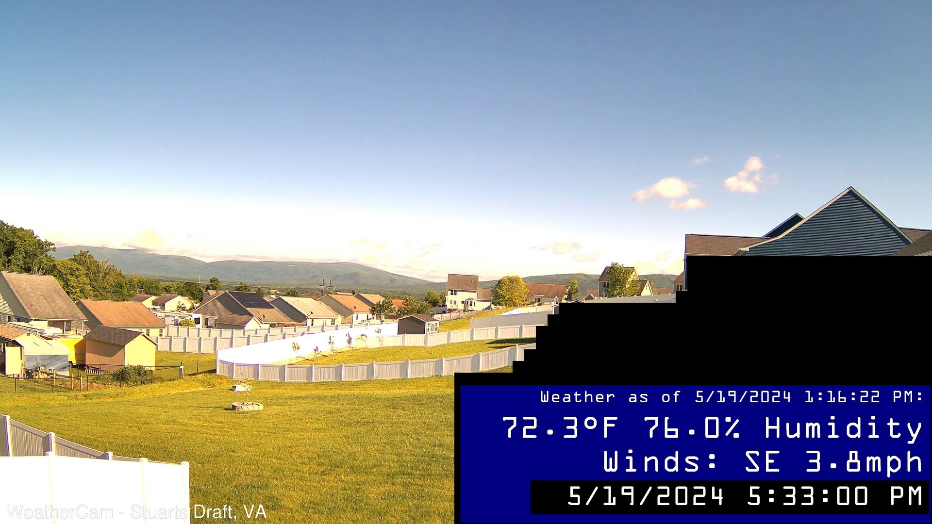
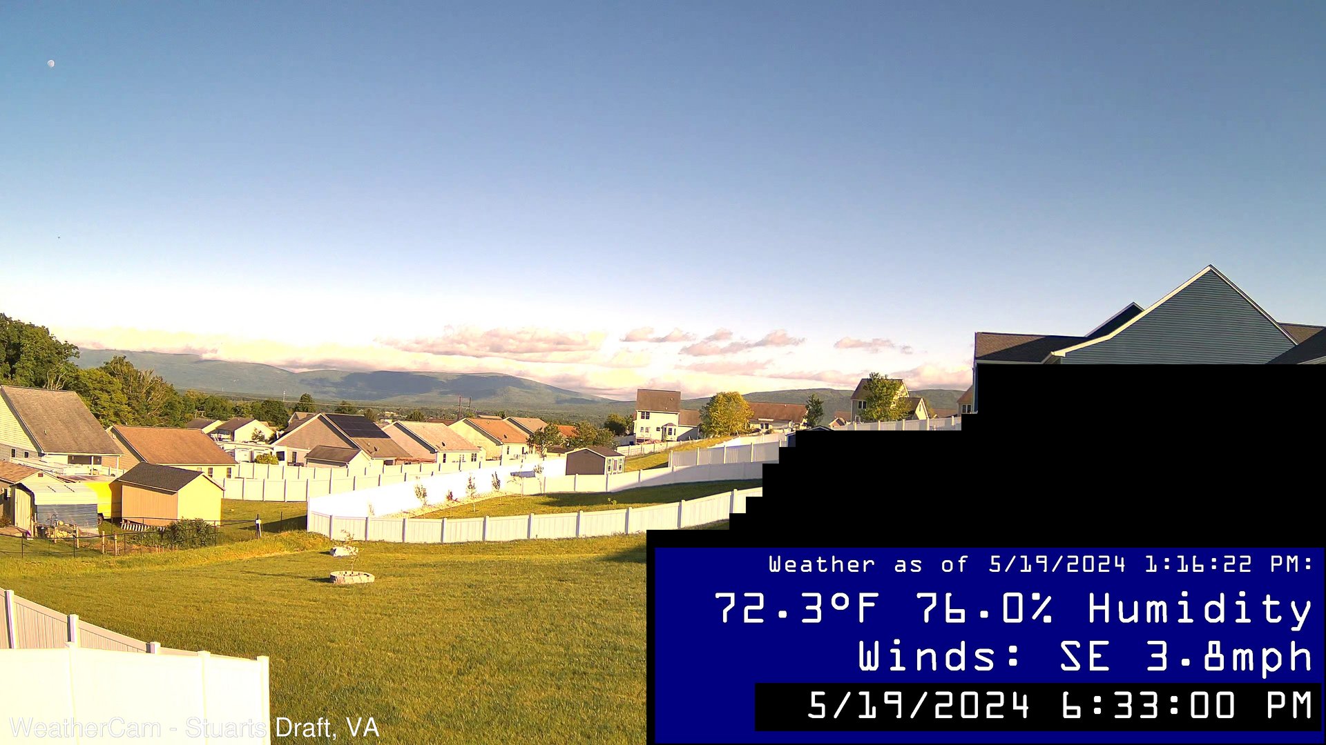
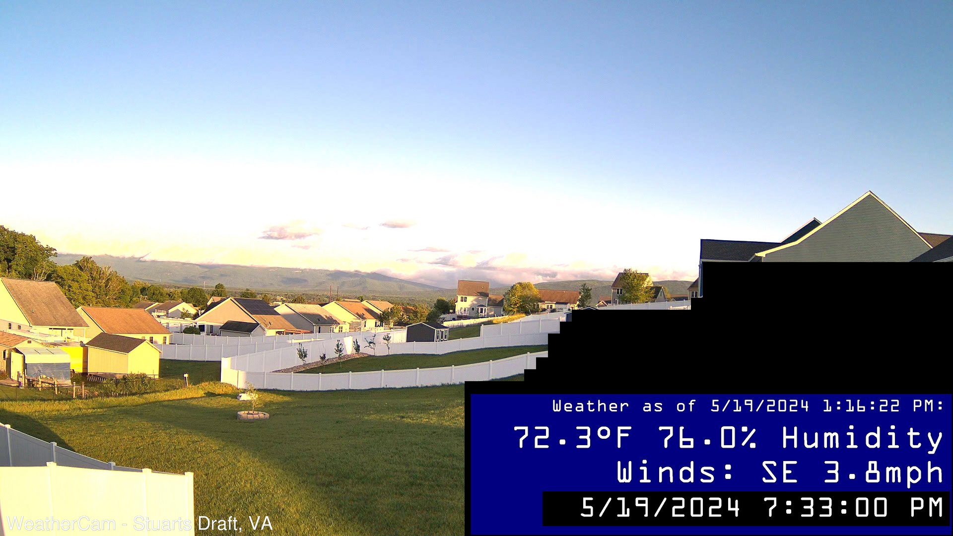
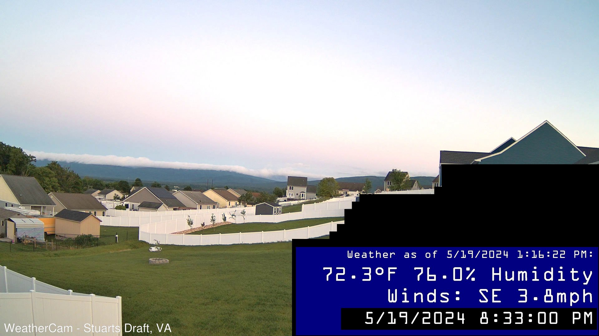
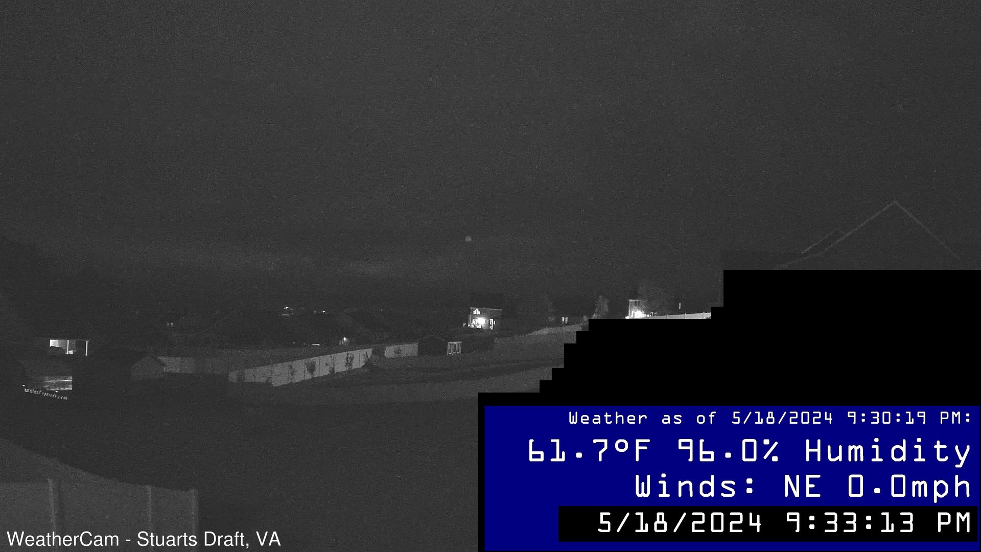
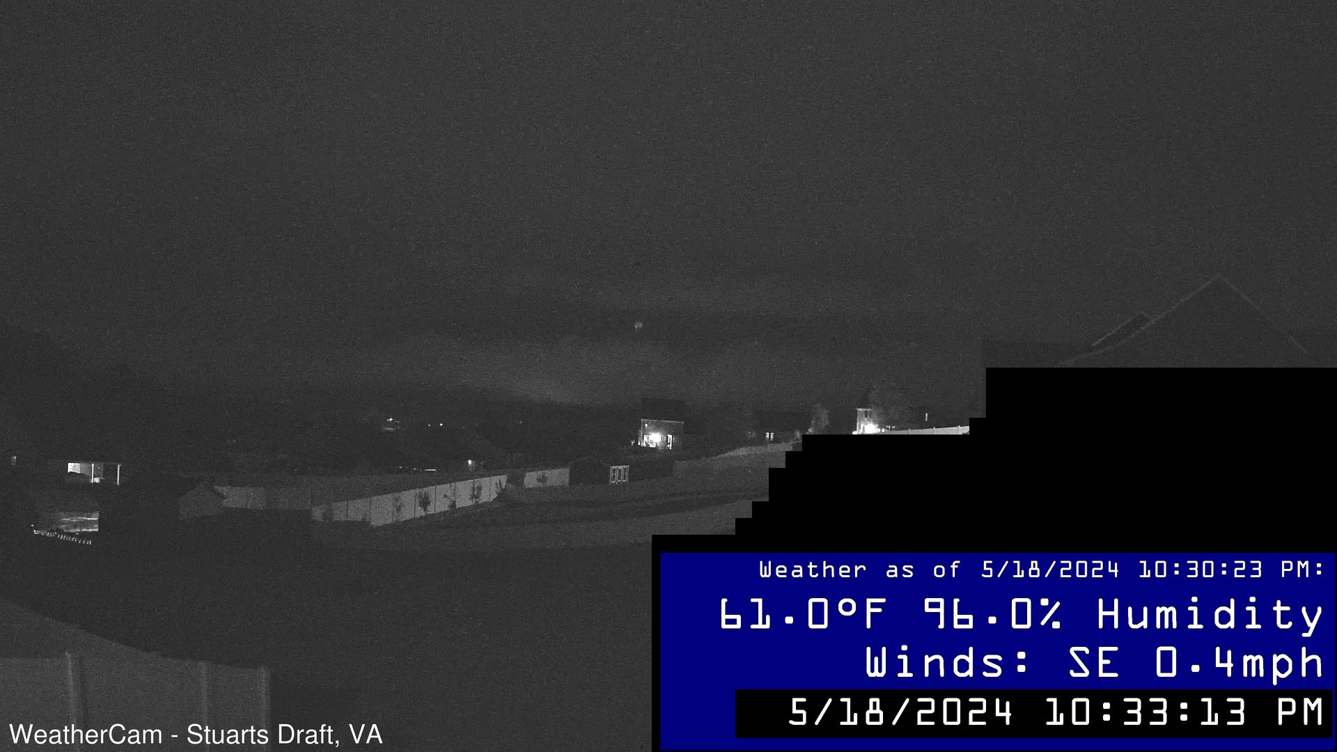
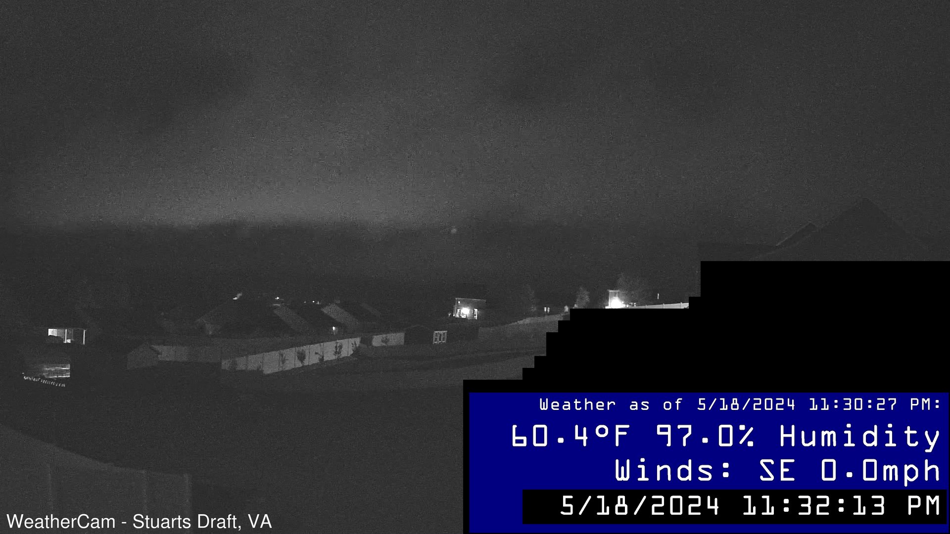
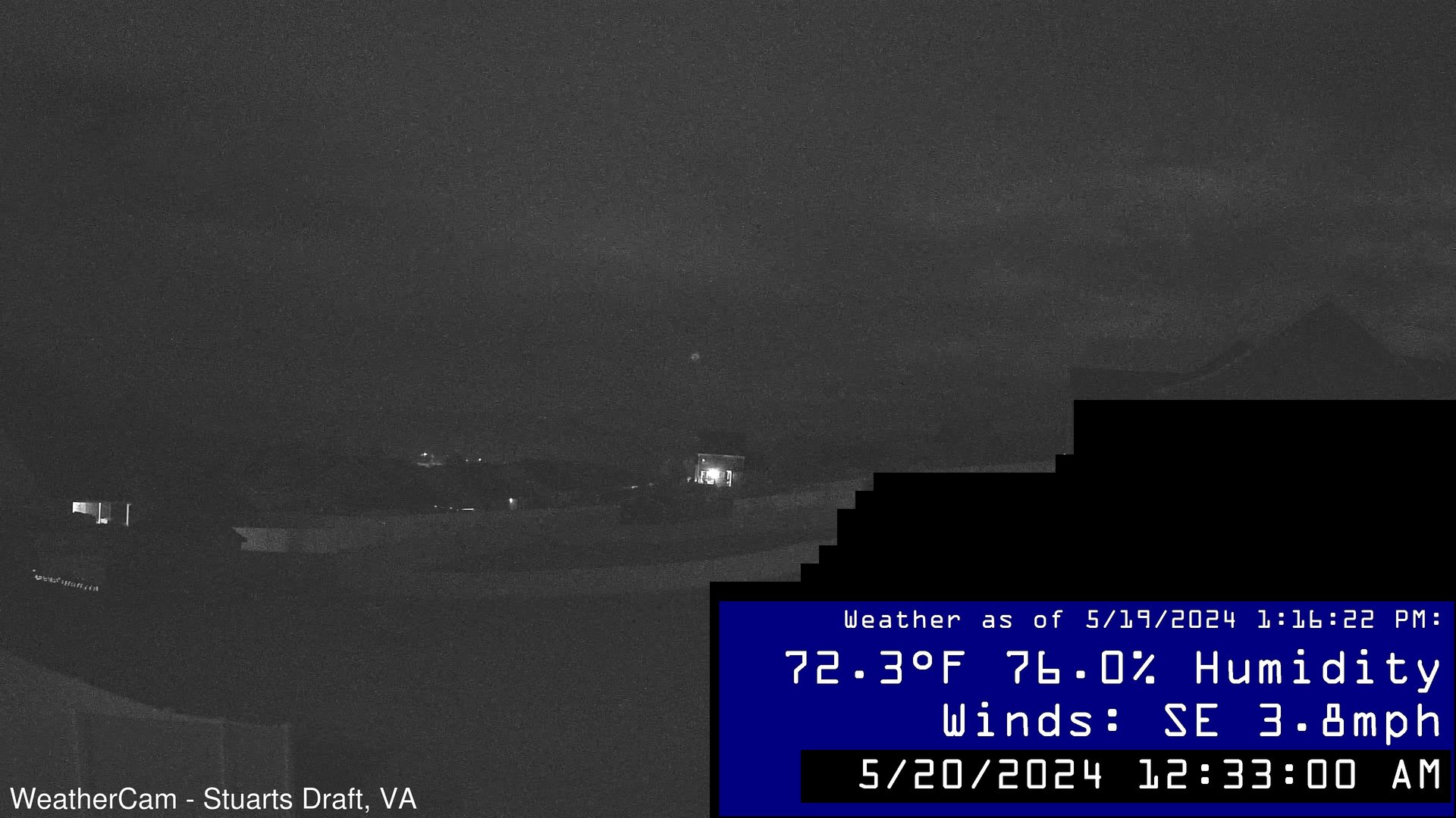
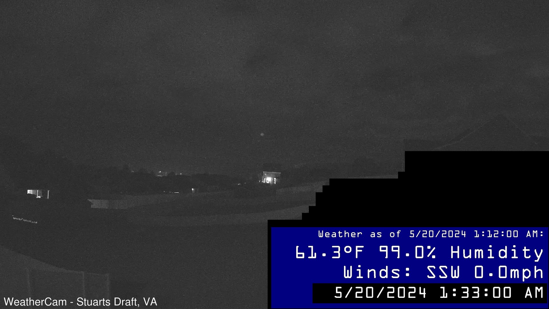
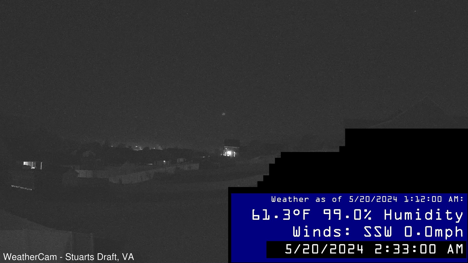
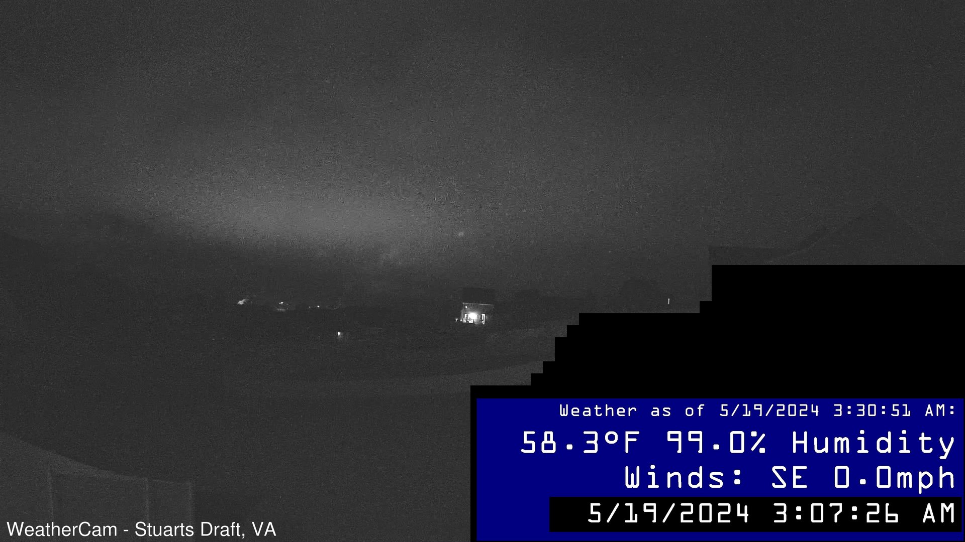
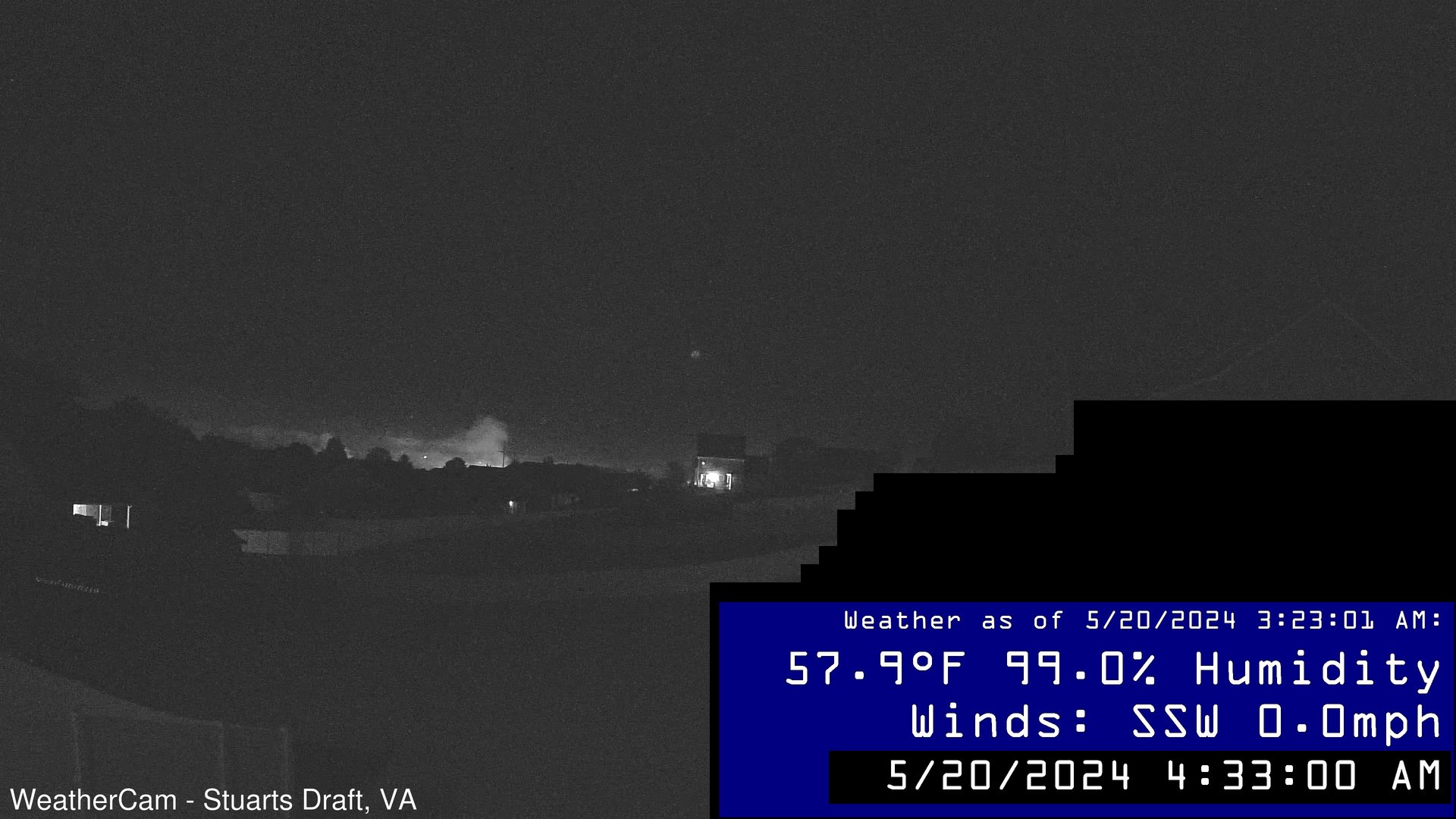
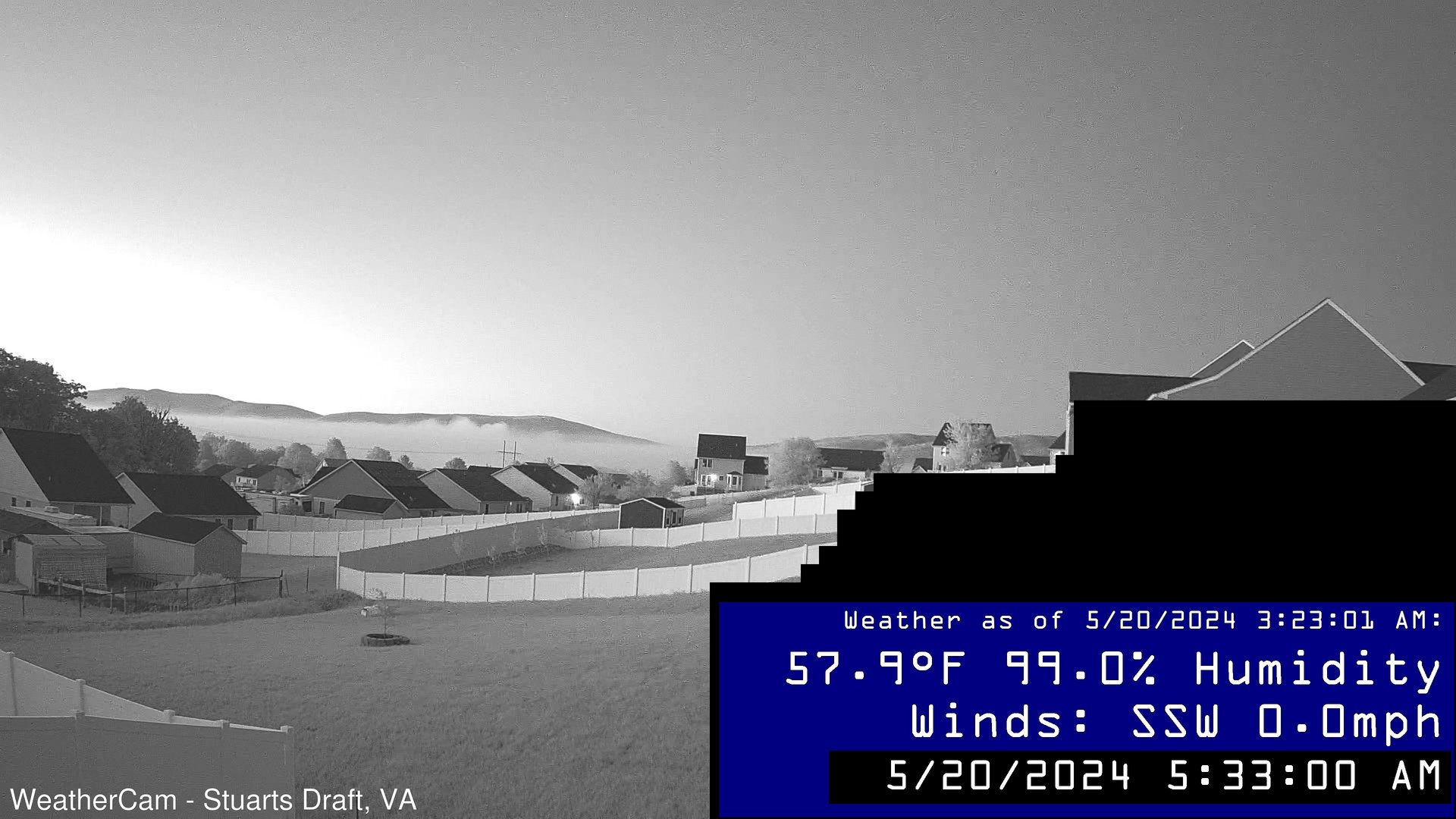
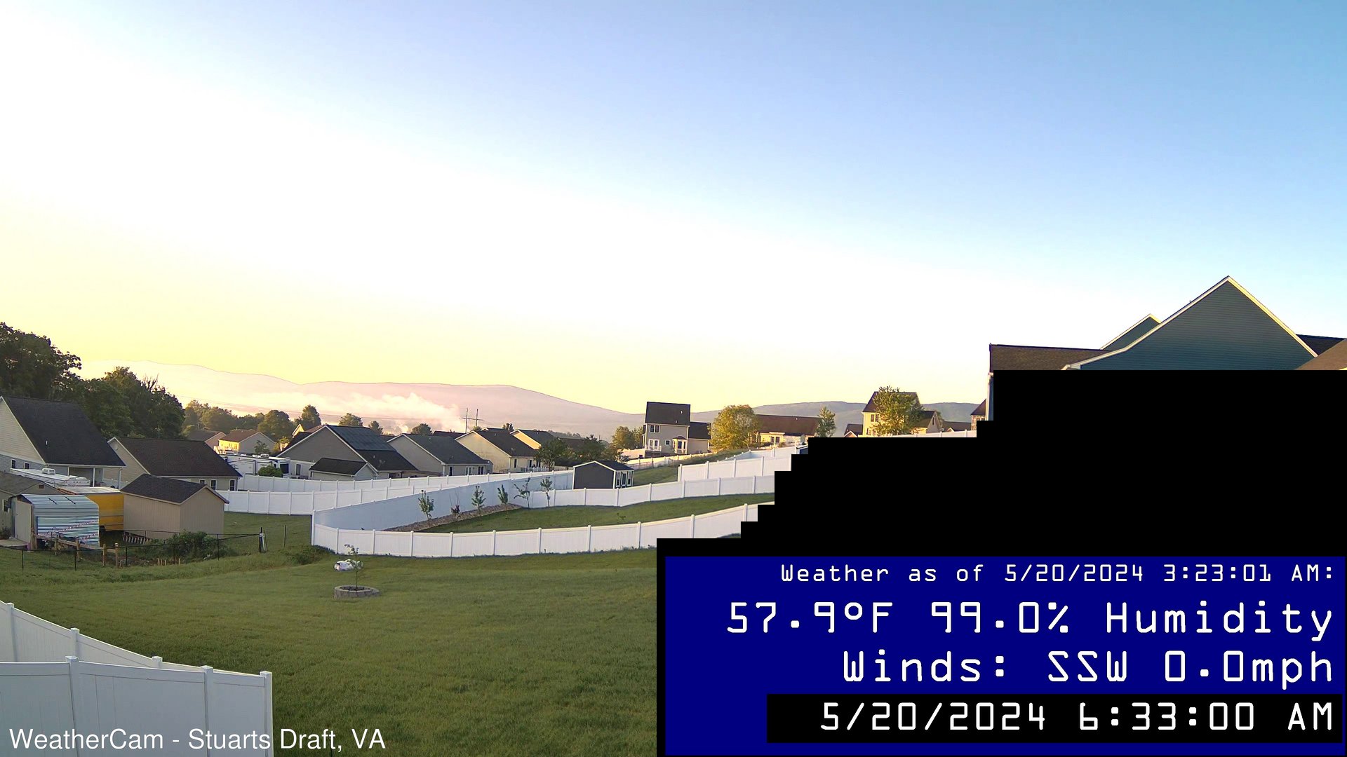
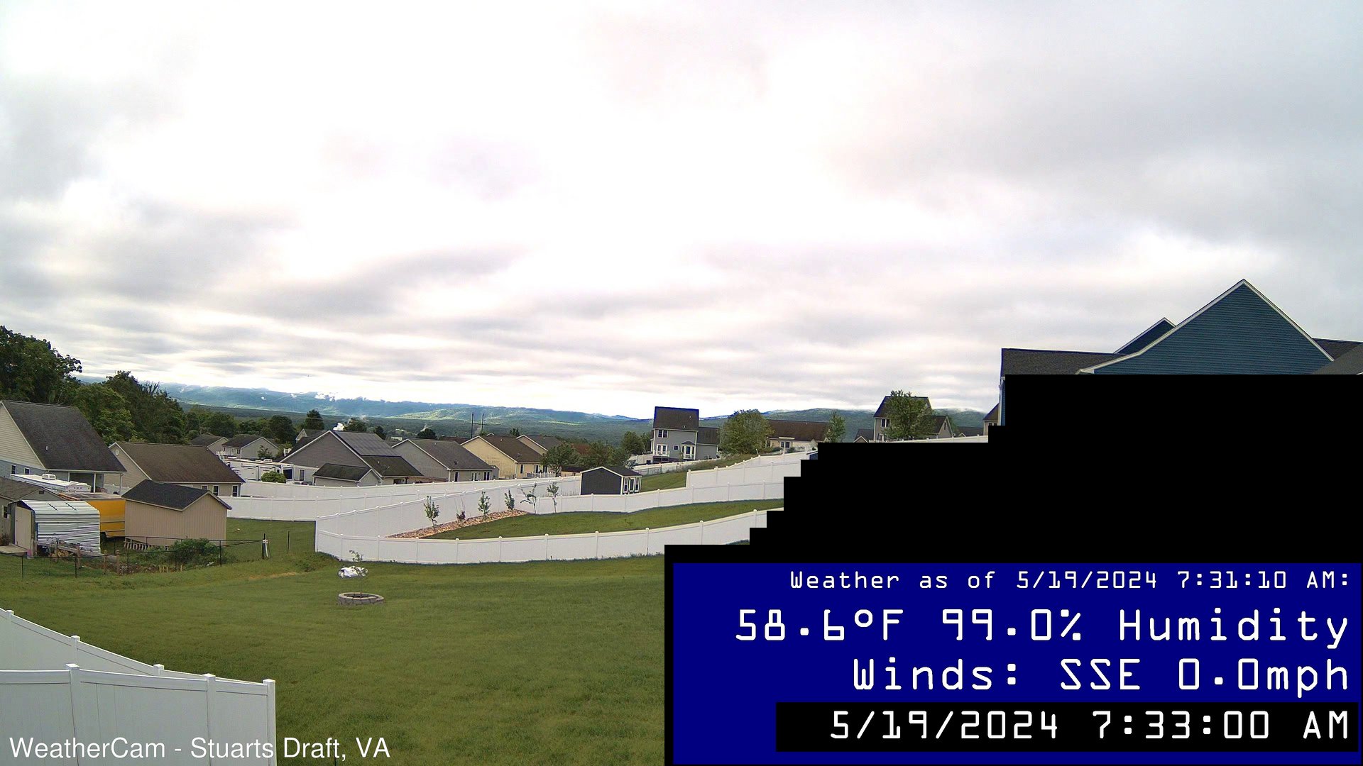
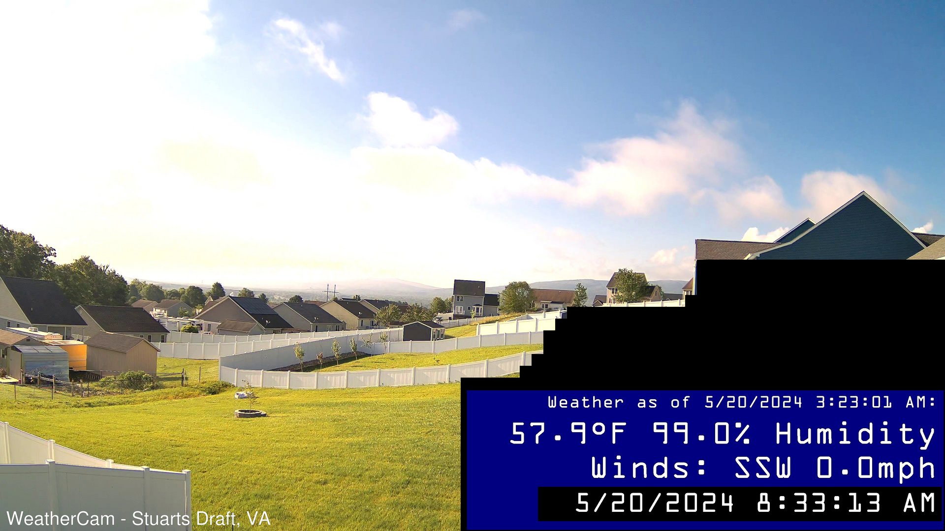
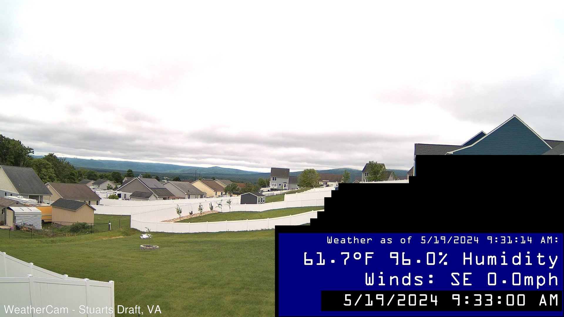
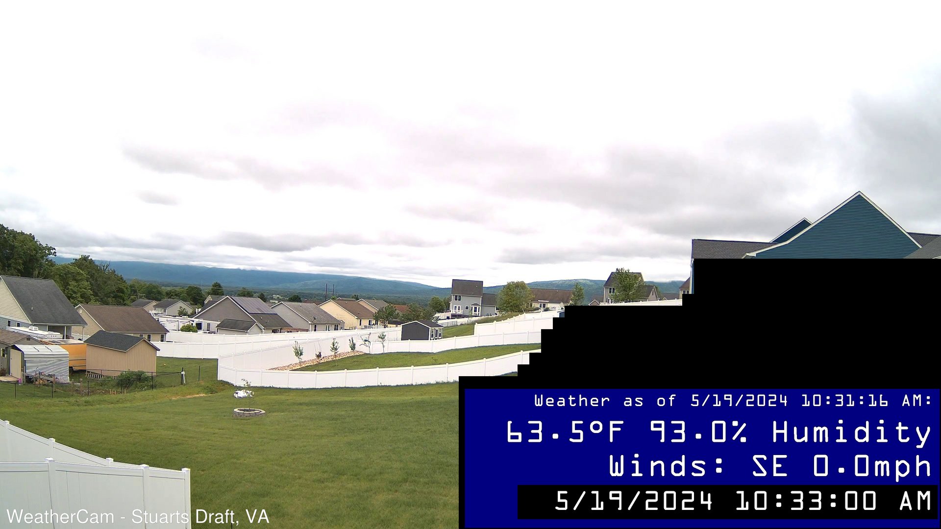
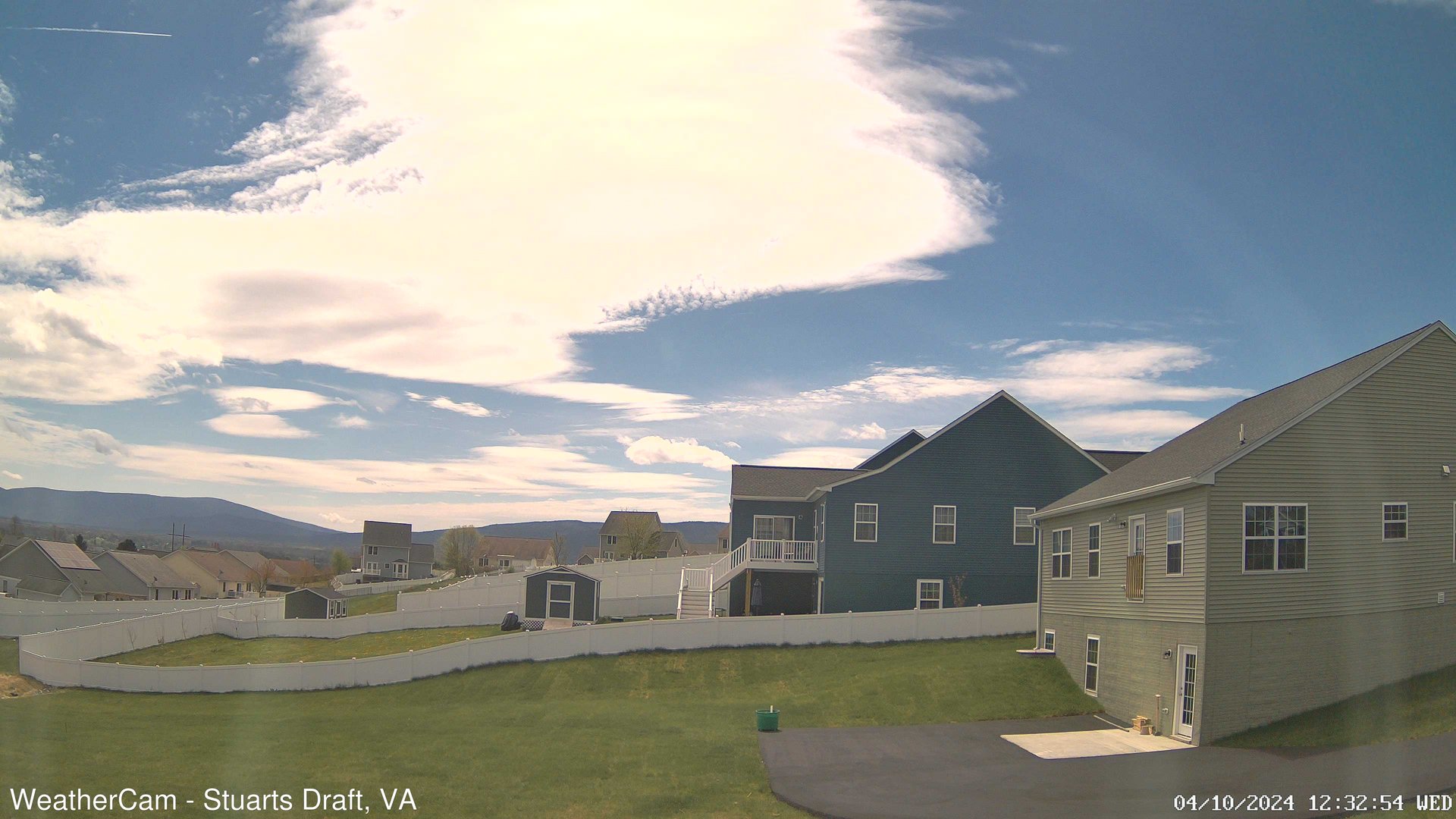
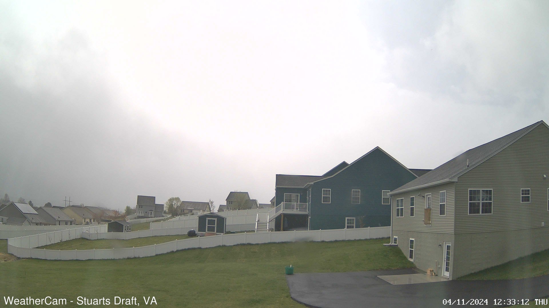
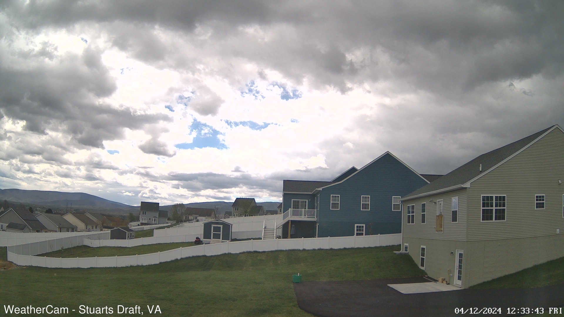
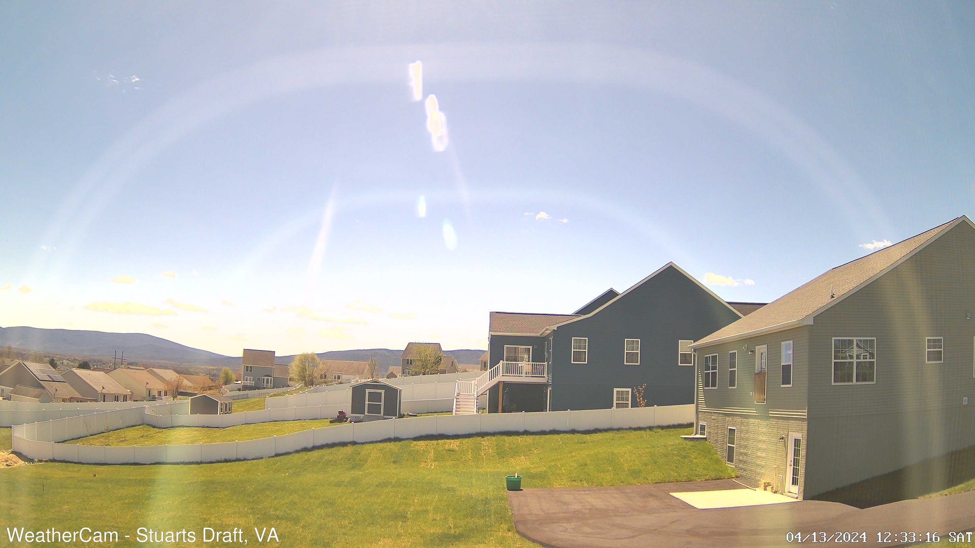
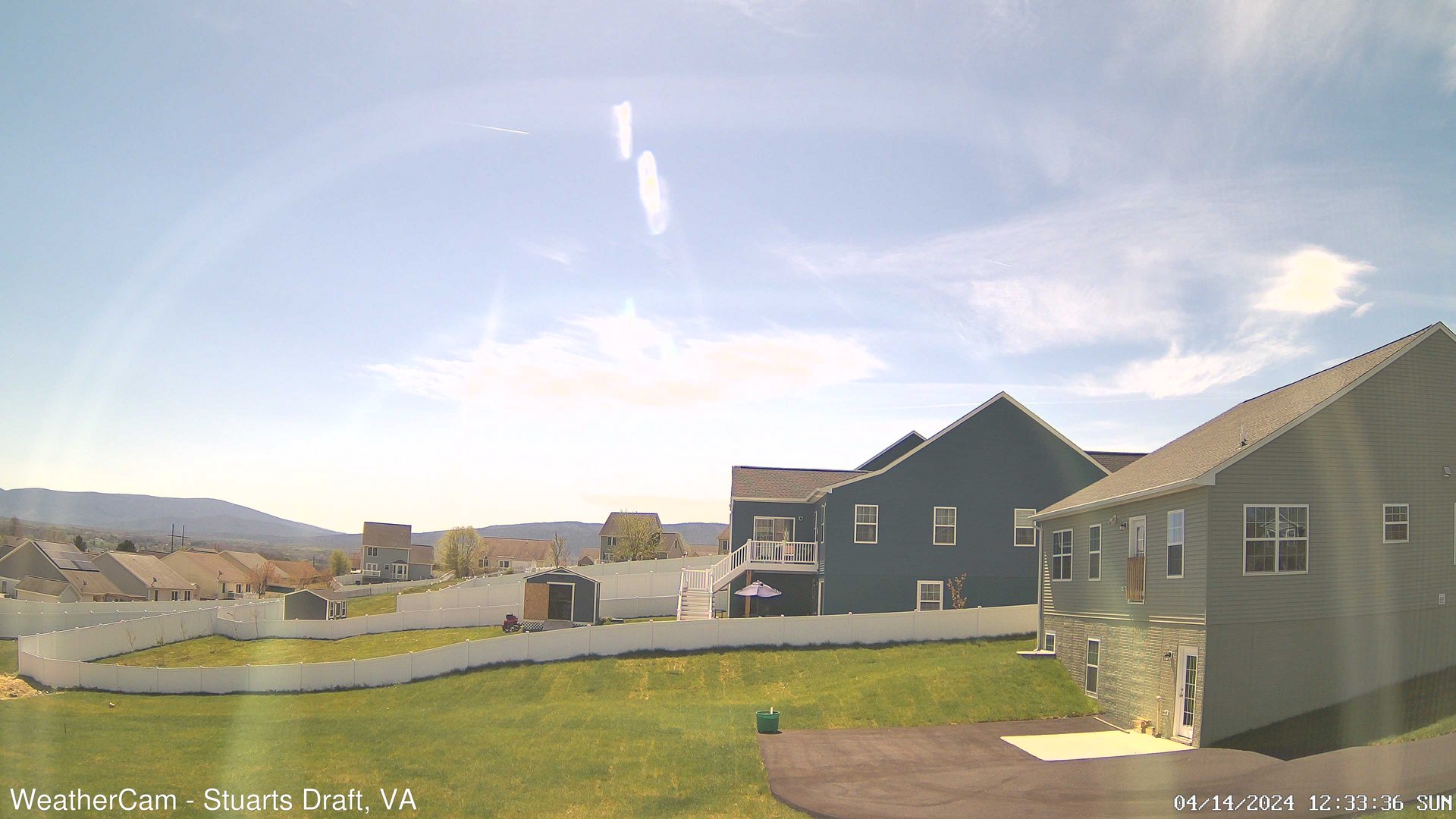
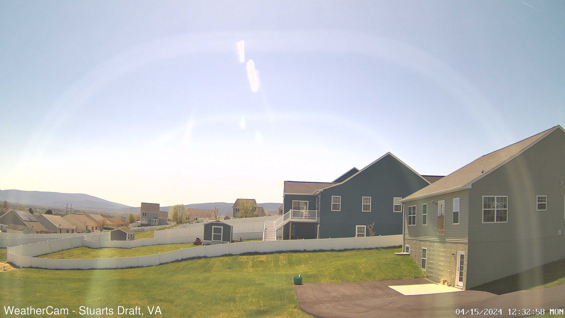
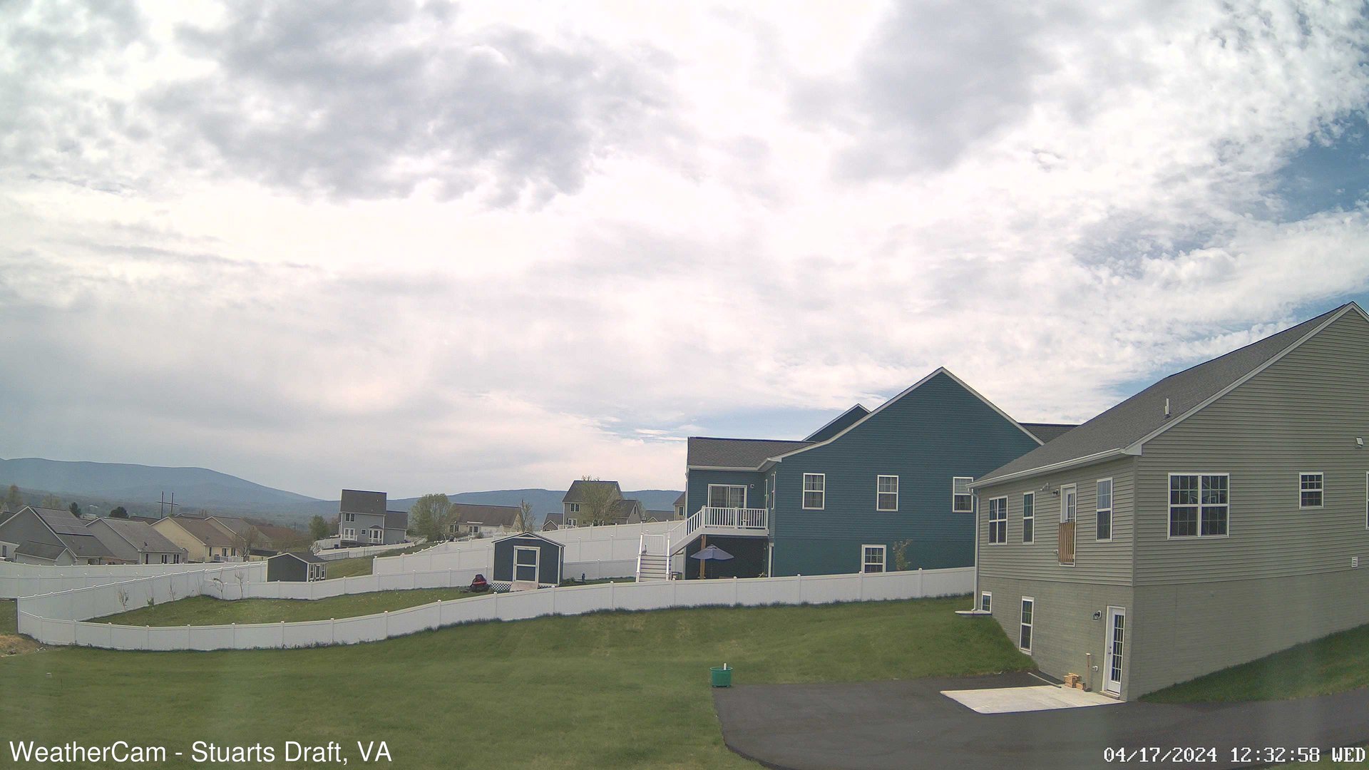
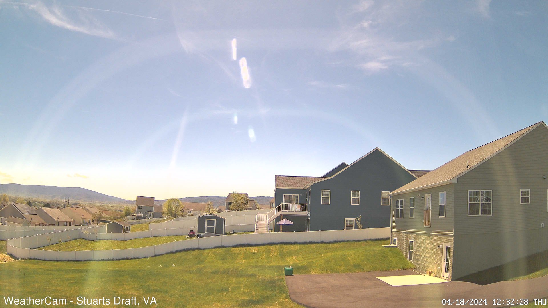
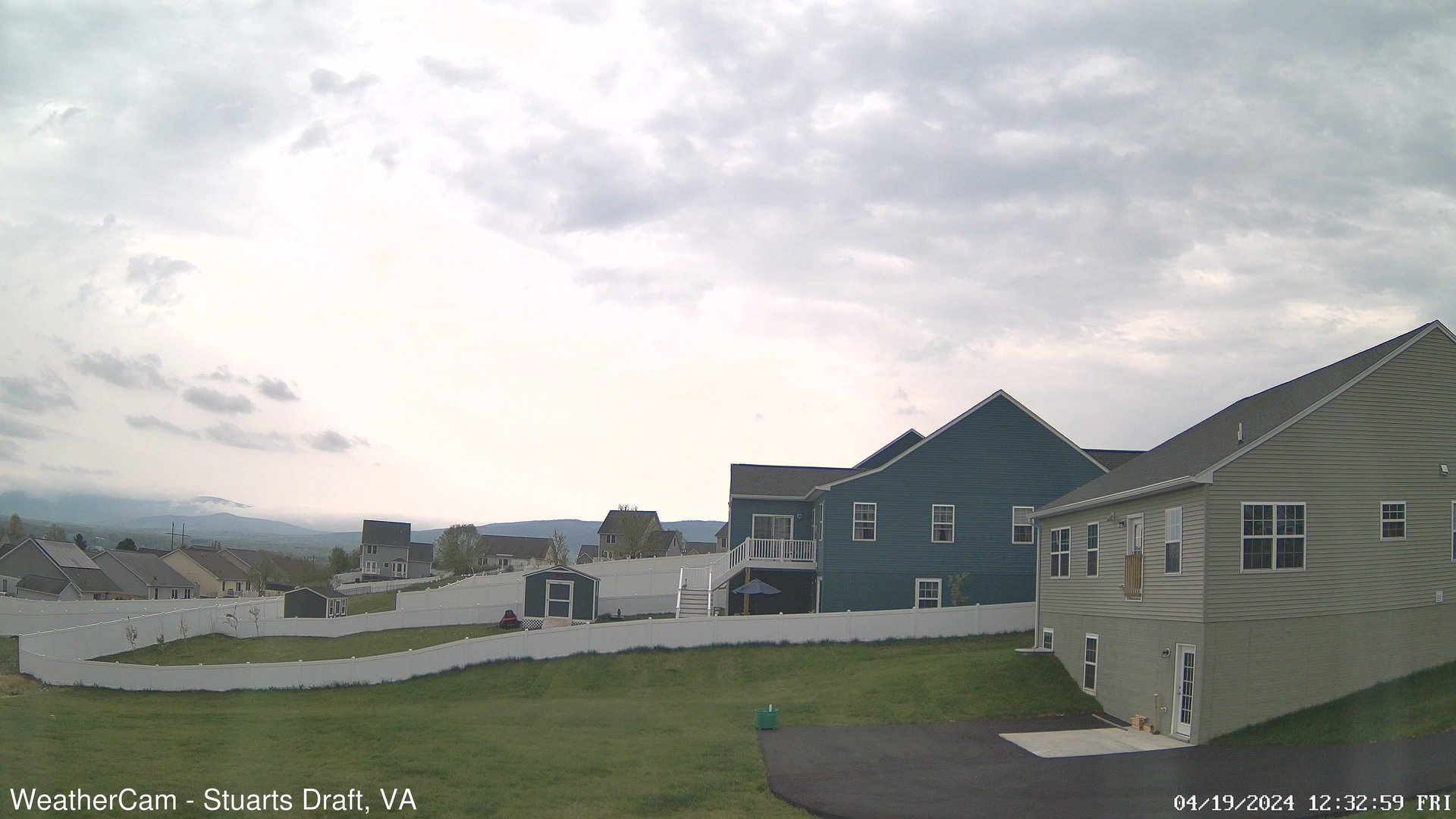
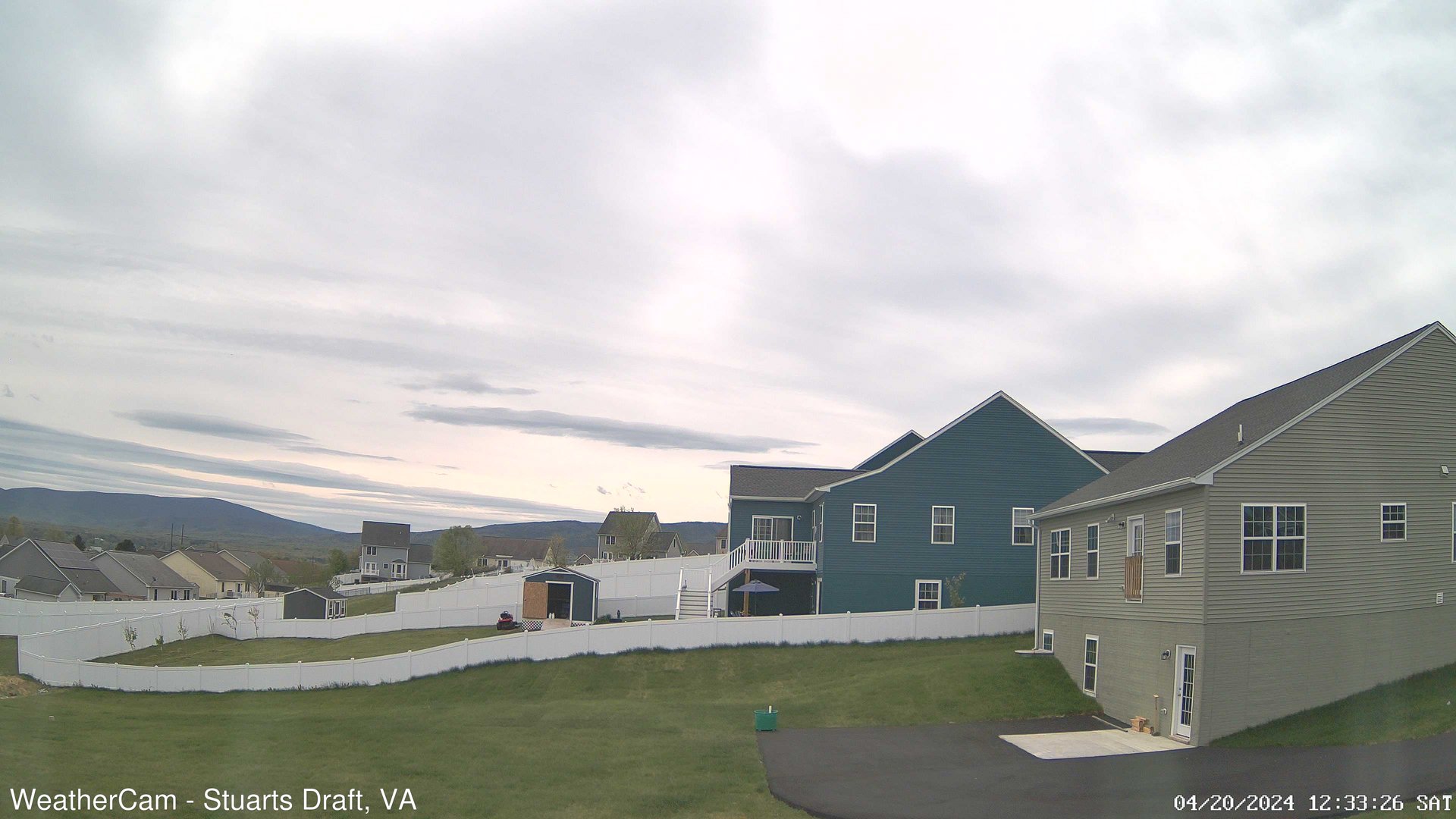
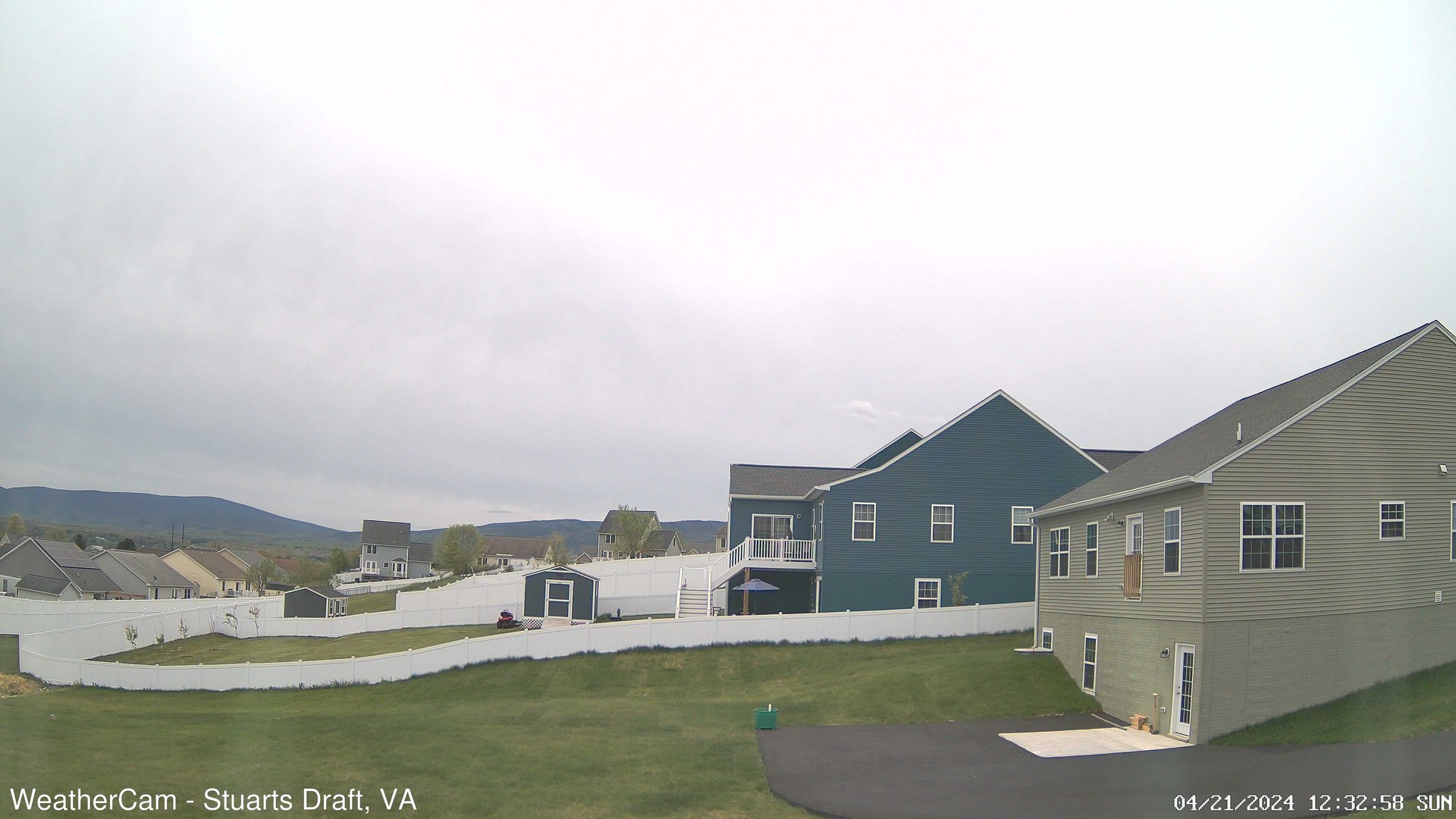
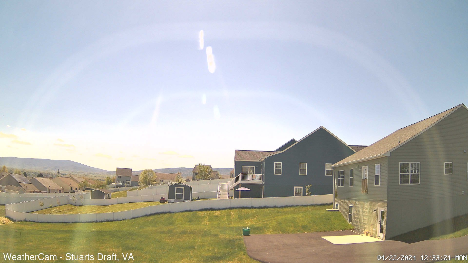
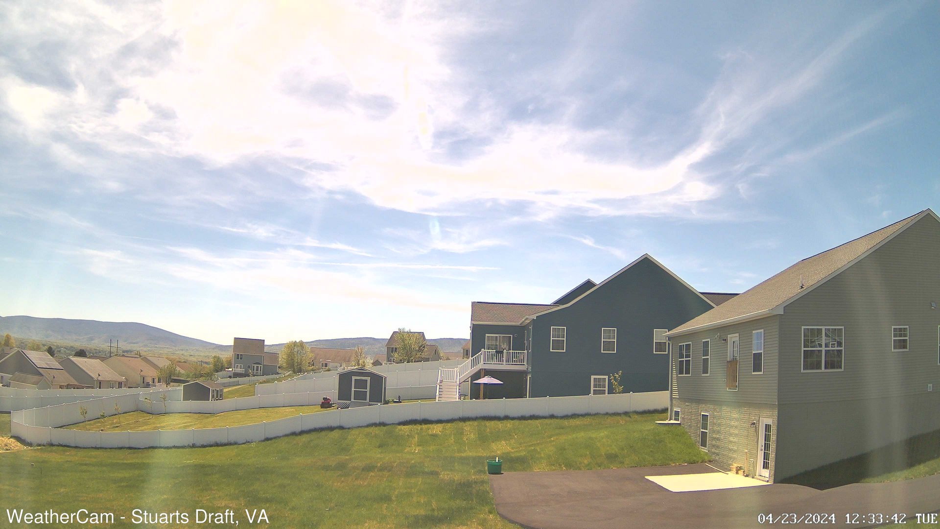
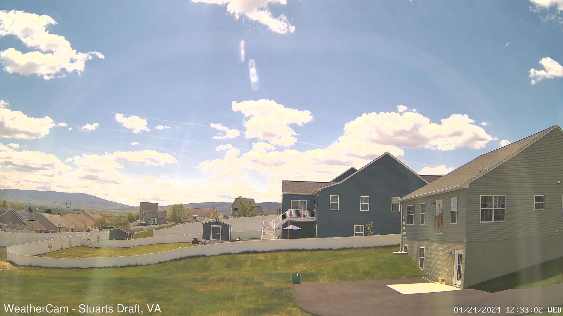
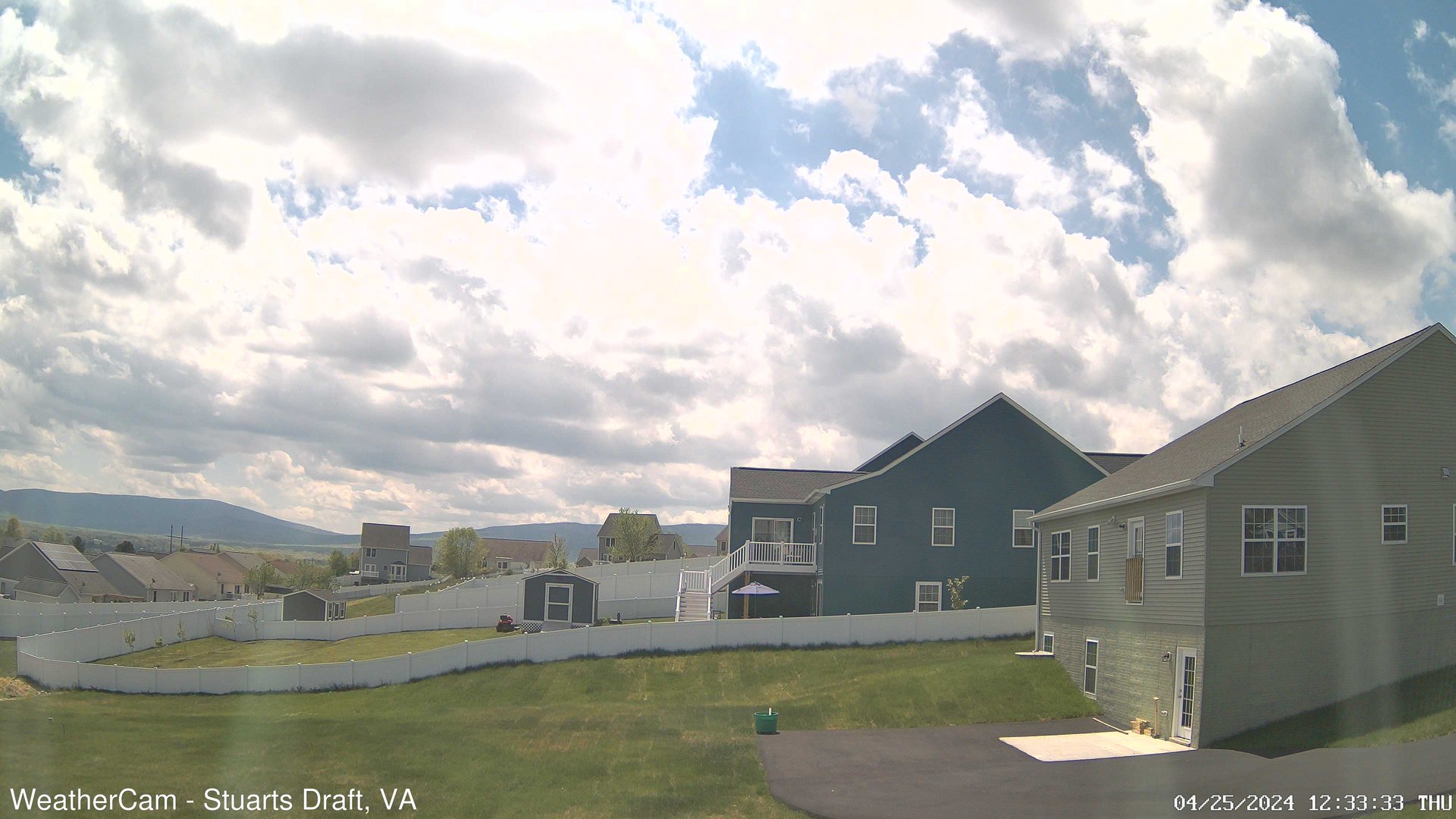
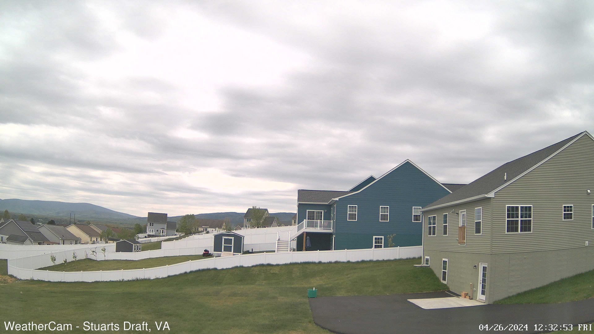
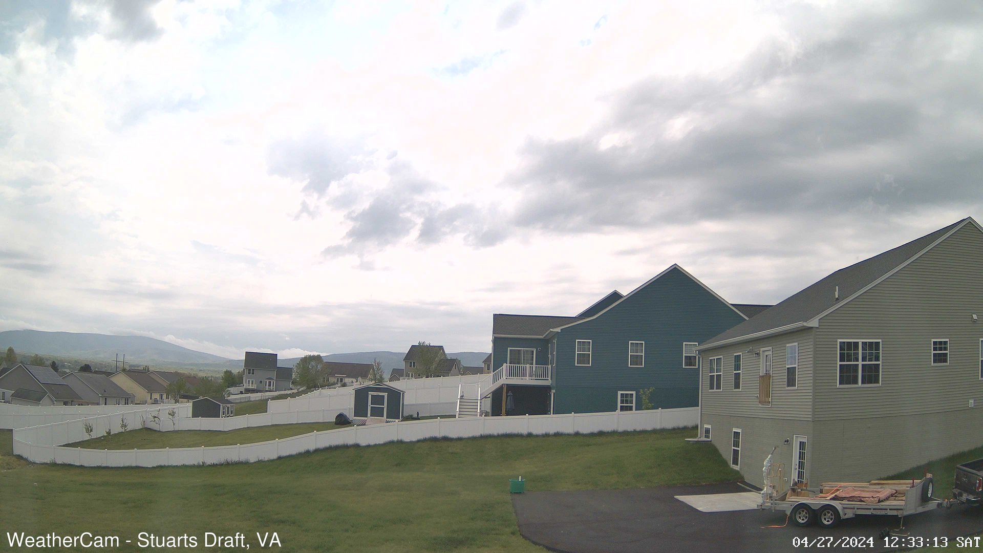
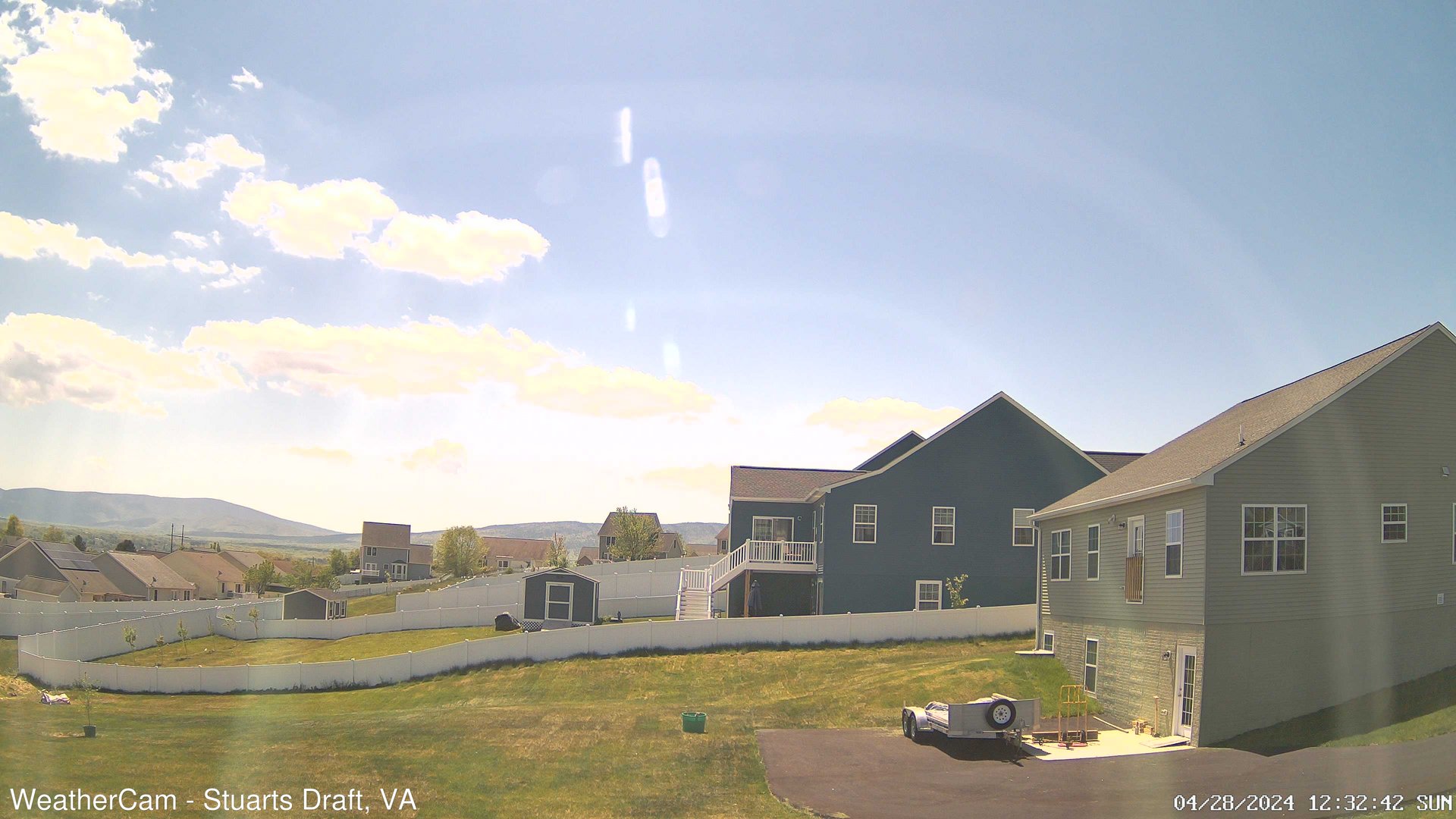
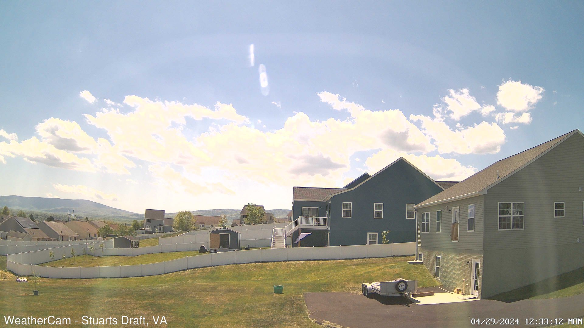
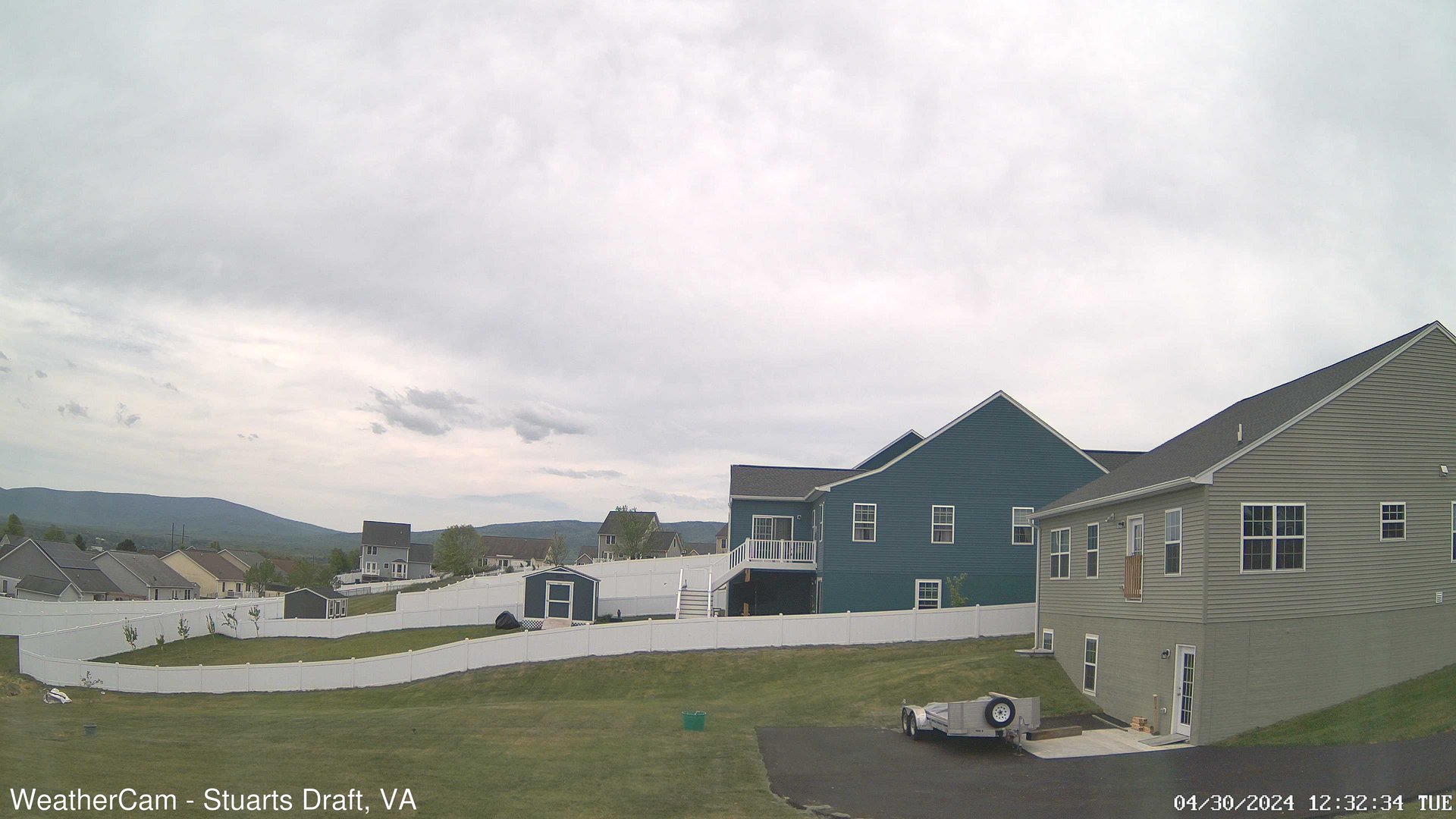
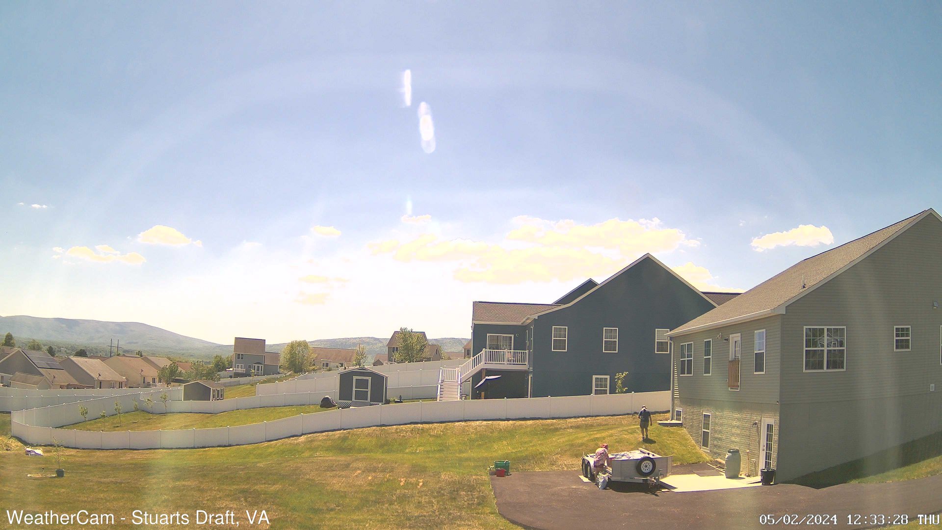
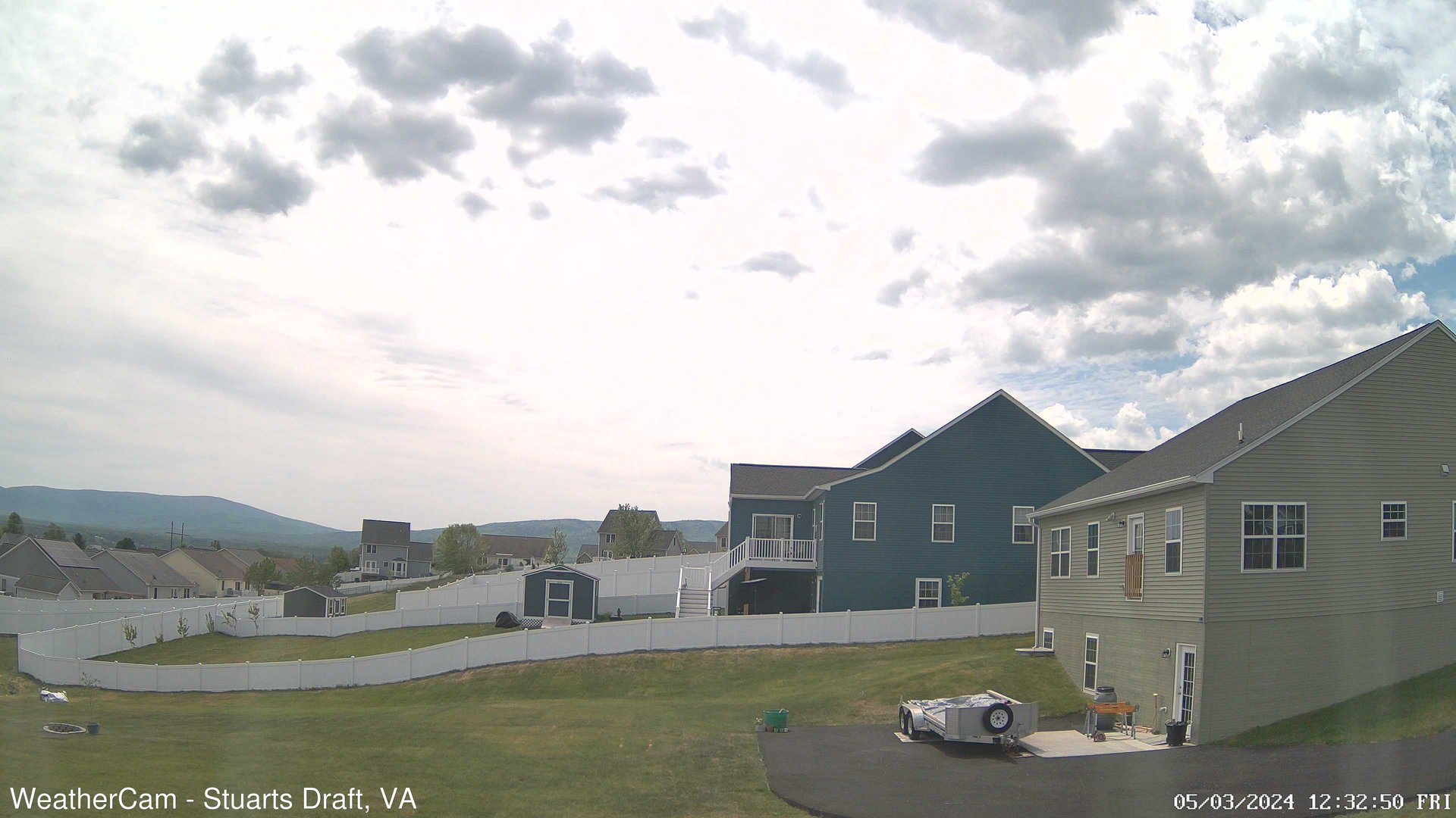
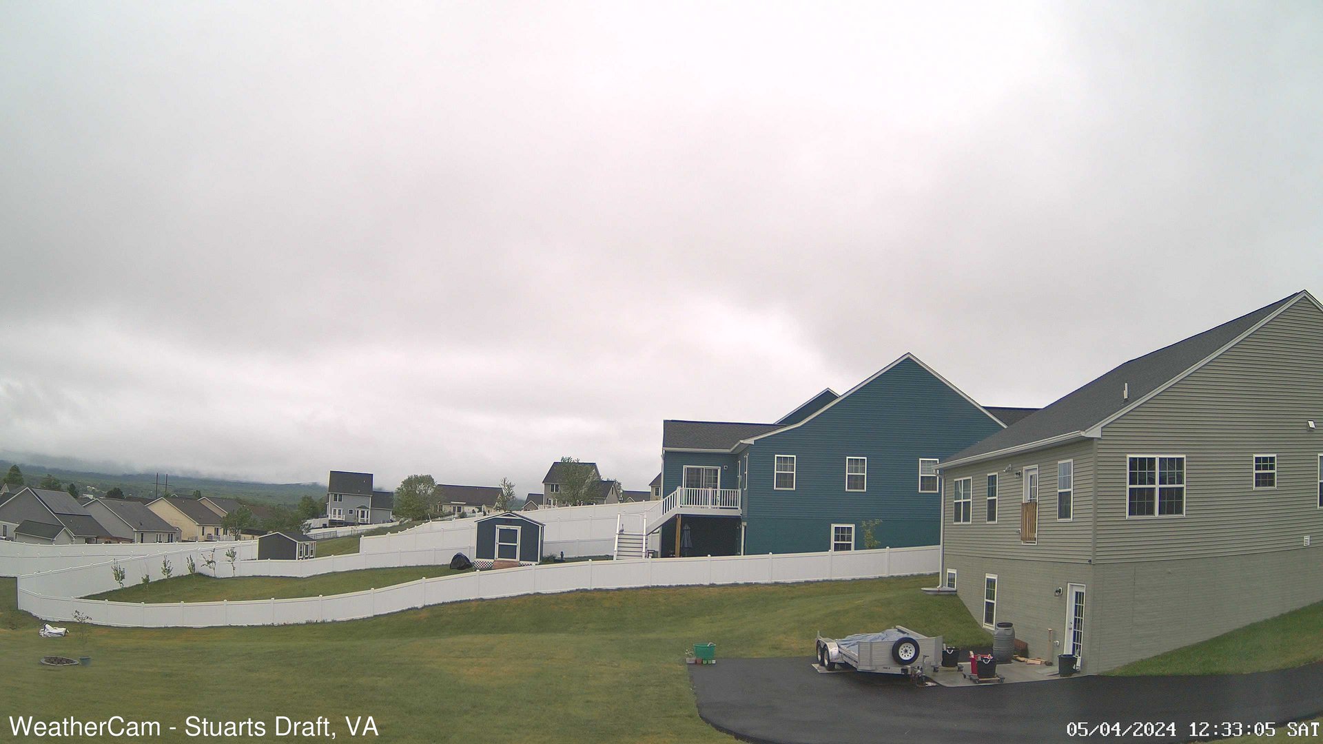
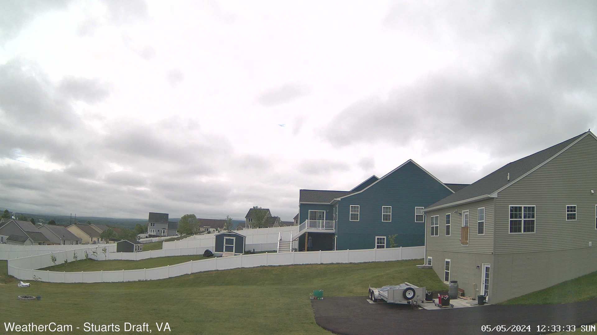
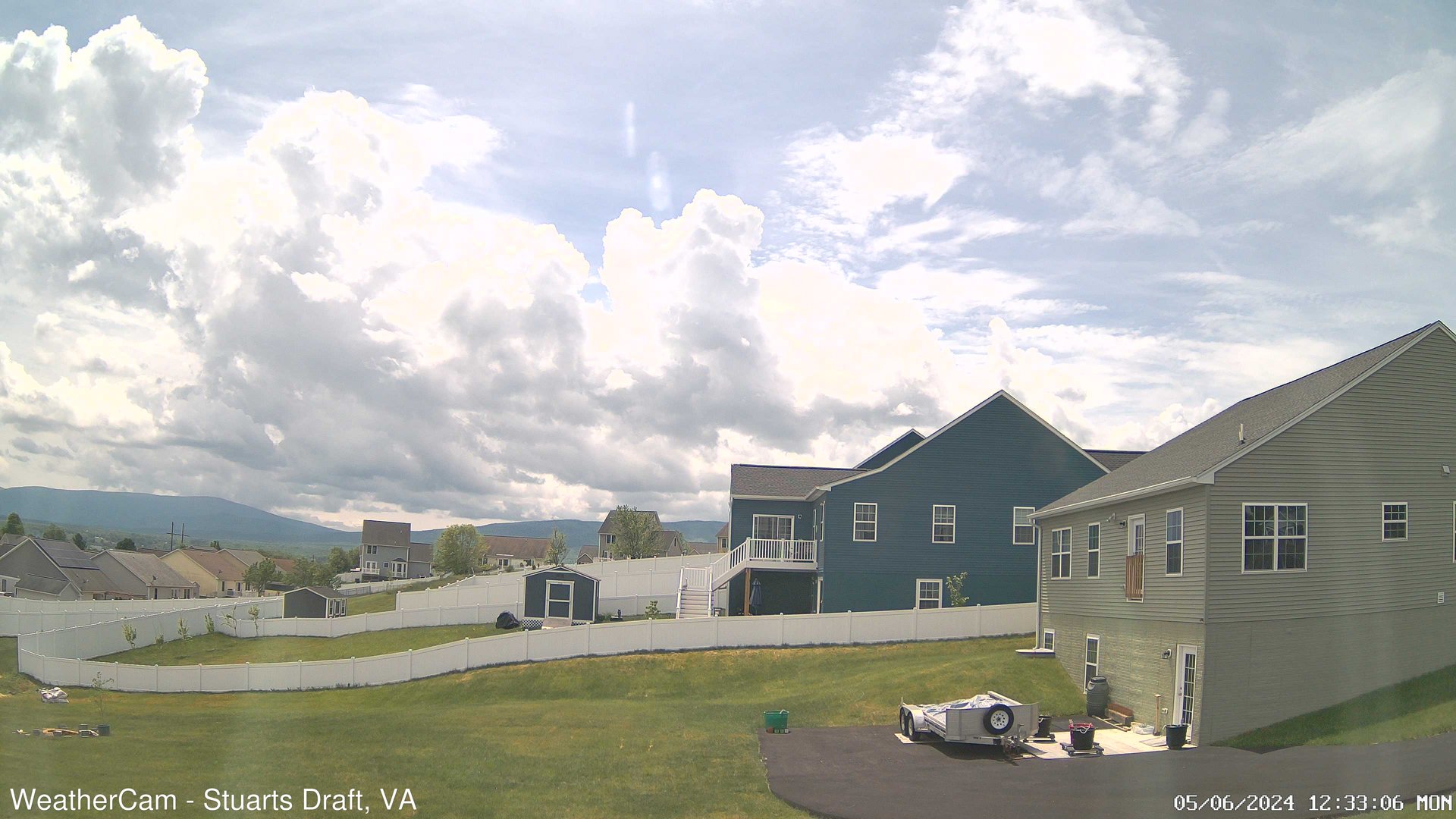
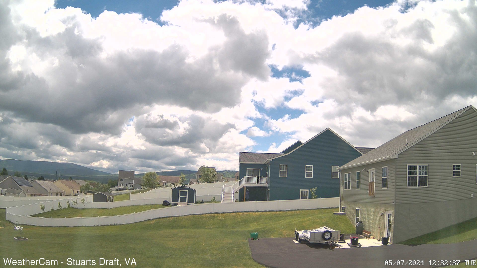
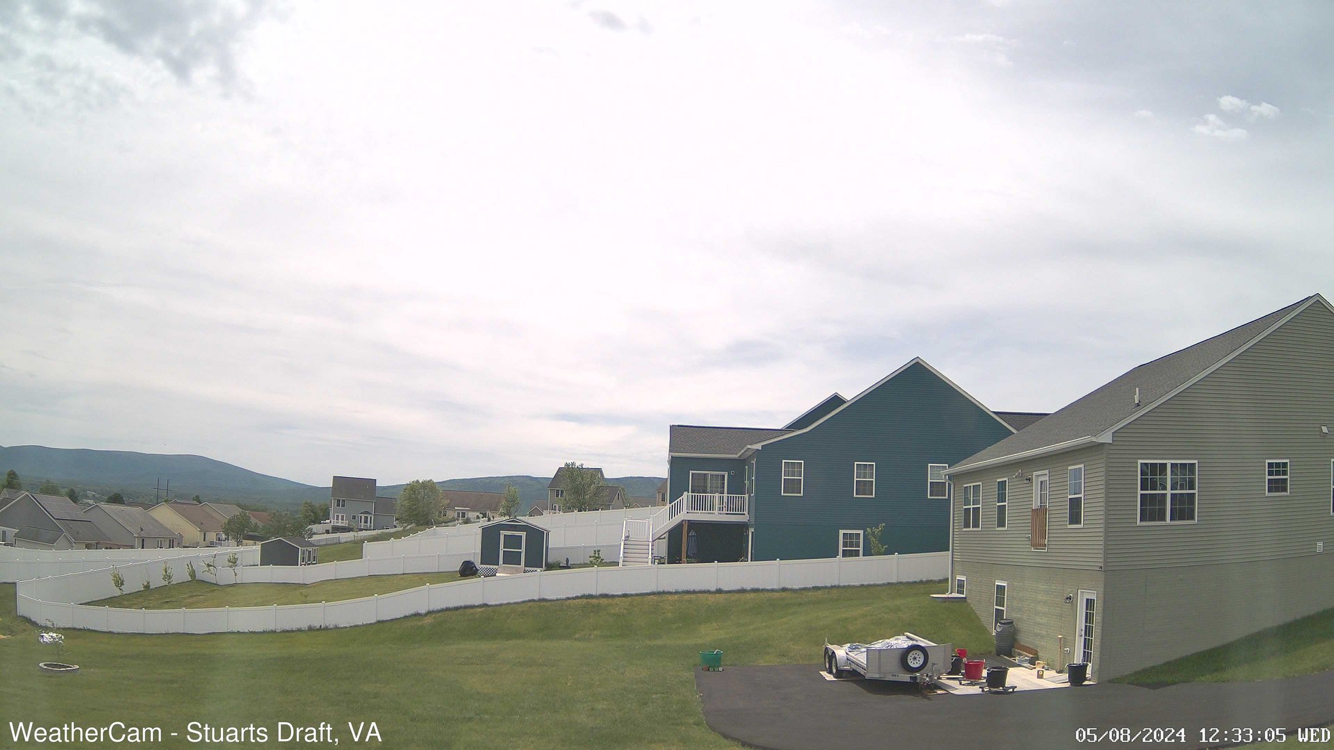
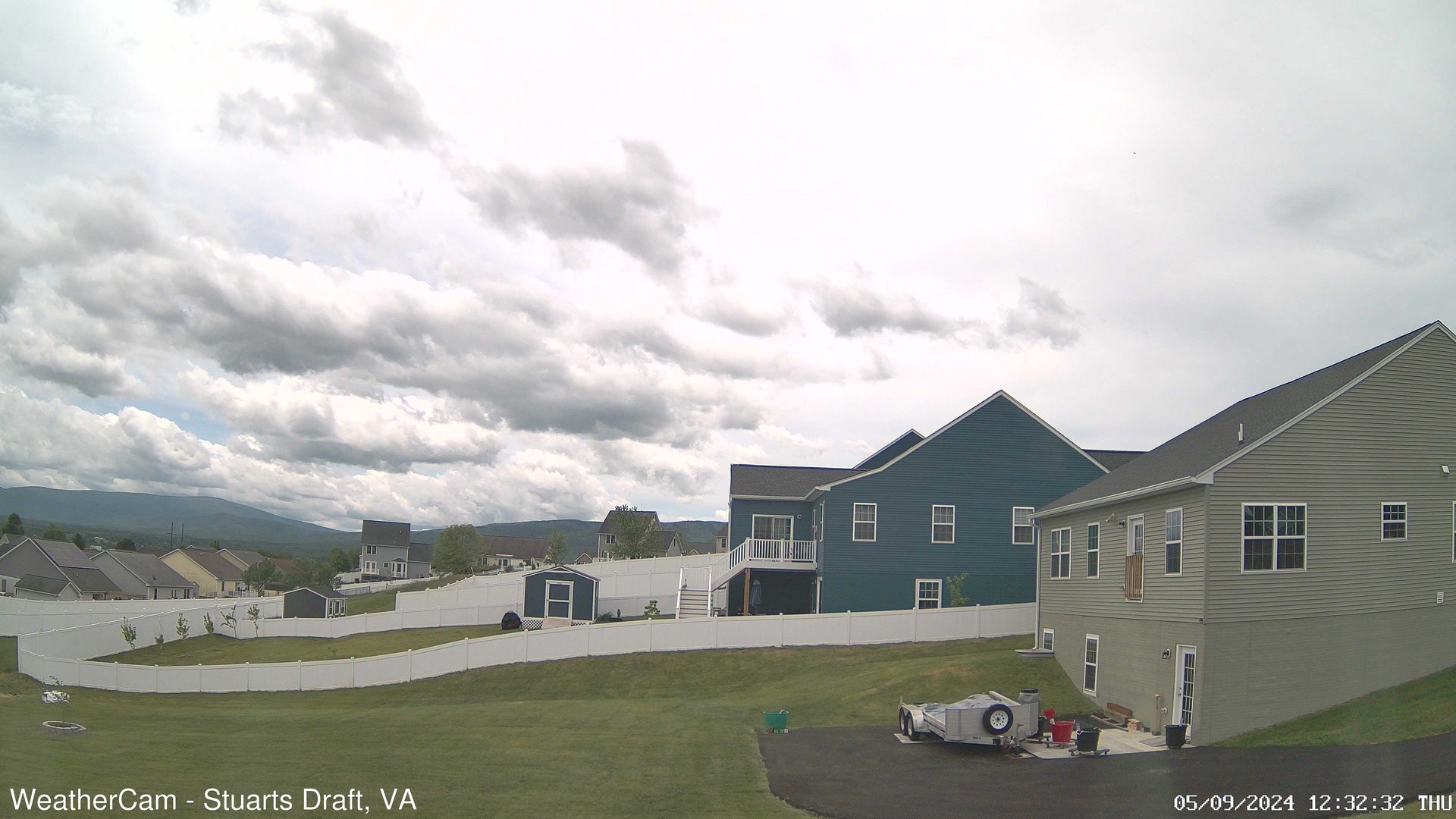
Stuarts Draft, Virginia, USA - 49.1 miles from Cranks (historical): Blue Ridge Mountains - A view from Stuarts Draft, VA of the Blue Ridge Mountains in the distance.
Operator: J. Kristopher Photography
Operator: J. Kristopher Photography


Harrisonburg, Virginia, USA - 52 miles from Cranks (historical): James Madison University - A webcam in Harrisonburg, Virginia - camera location: James Madison University.
Operator: WeatherBug
Operator: WeatherBug


King George, Virginia, USA - 55.9 miles from Cranks (historical): King George County EOC - A webcam in King George, Virginia - camera location: King George County EOC.
Operator: WeatherBug
Operator: WeatherBug


Prince George, Virginia, USA - 69.3 miles from Cranks (historical): Prince George County EOC - A webcam in Prince George, Virginia - camera location: Prince George County EOC.
Operator: WeatherBug
Operator: WeatherBug


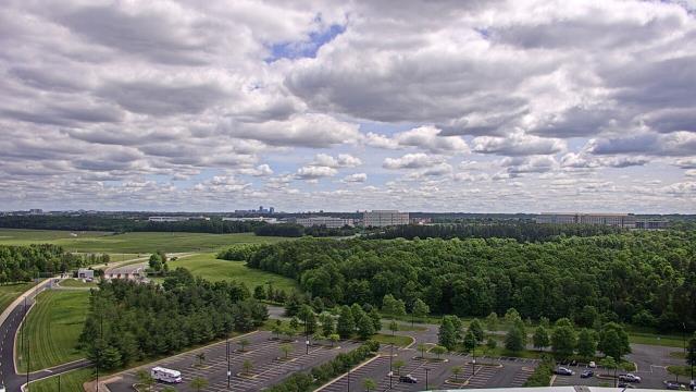
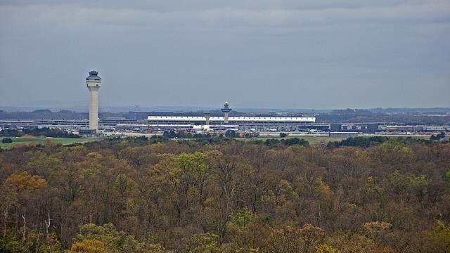
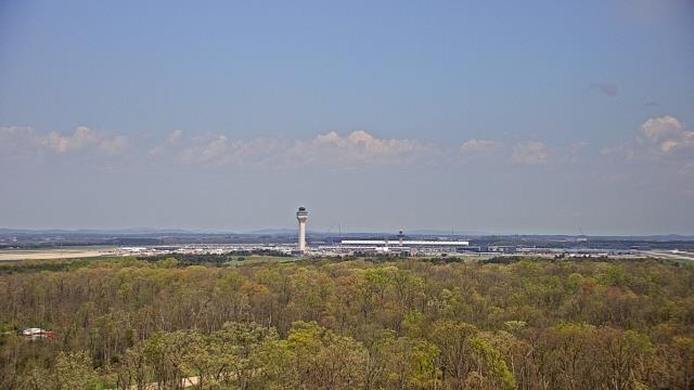
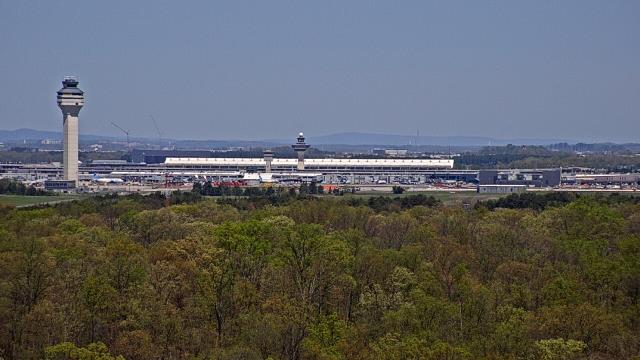
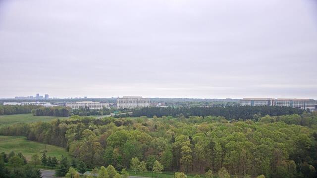
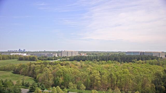
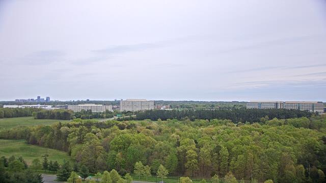
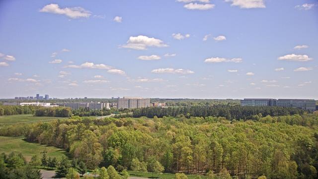
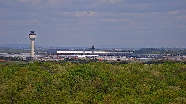
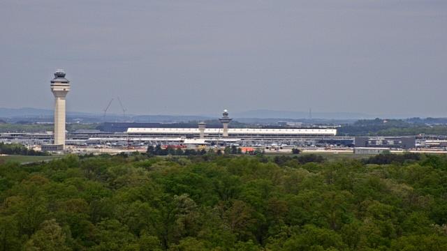
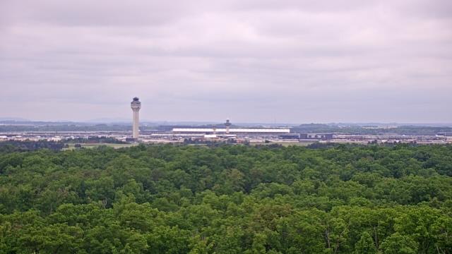
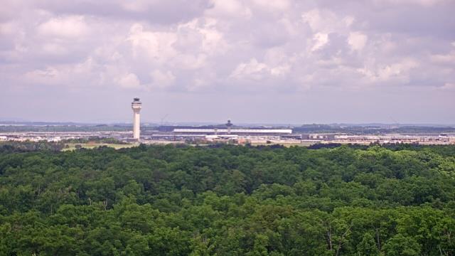
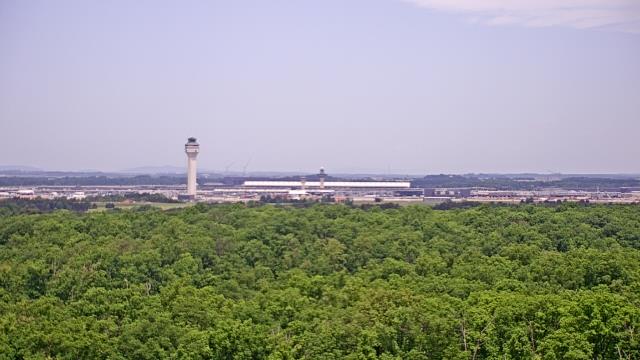
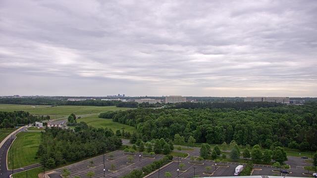
Chantilly, Virginia, USA - 74.6 miles from Cranks (historical): View towards Dulles Intl. Airport - A webcam in Chantilly, Virginia - camera location: Steven F. Udvar-Hazy Center.
Operator: WeatherBug
Operator: WeatherBug


Some other places in this country: Little Creek - Stange Mines (historical) - Stowersville - Bend (historical) - Cuzco (historical) - Duggins Store - Dunreath (historical) - Gays (historical) - Harris (historical) - Lasley (historical)