Webcams in the region of Summit, South Dakota, USA
The List of Webcams near Summit, South Dakota, USA:
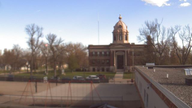
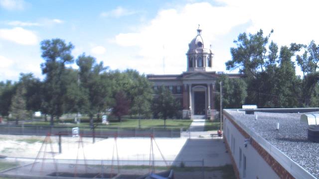
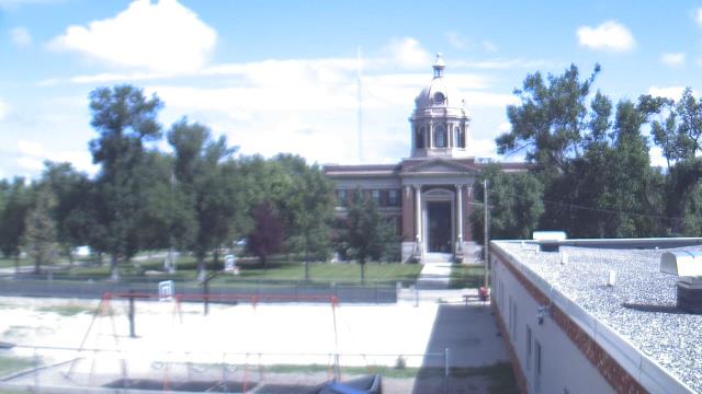
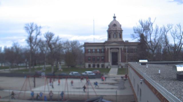
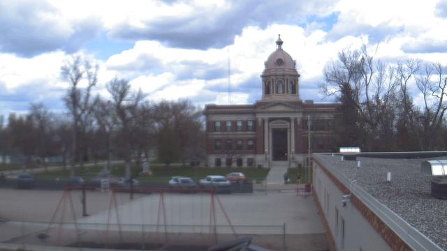
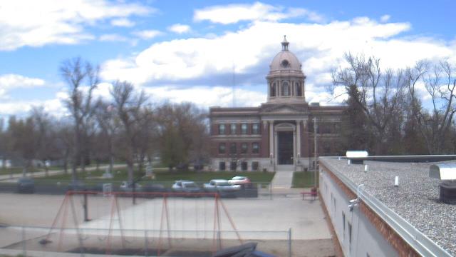
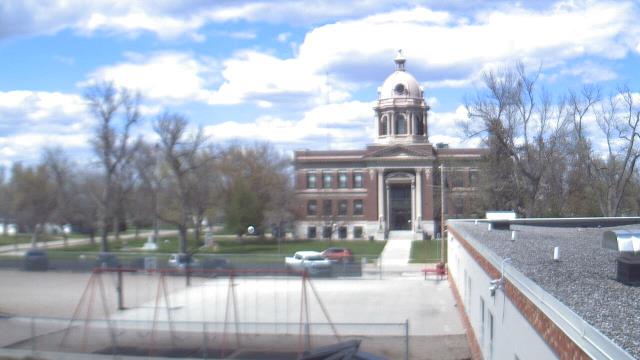
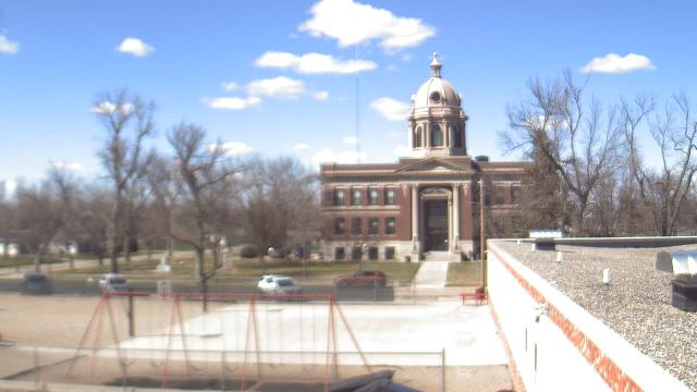
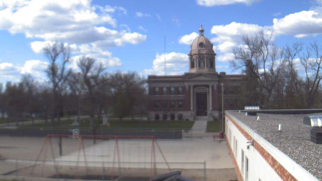
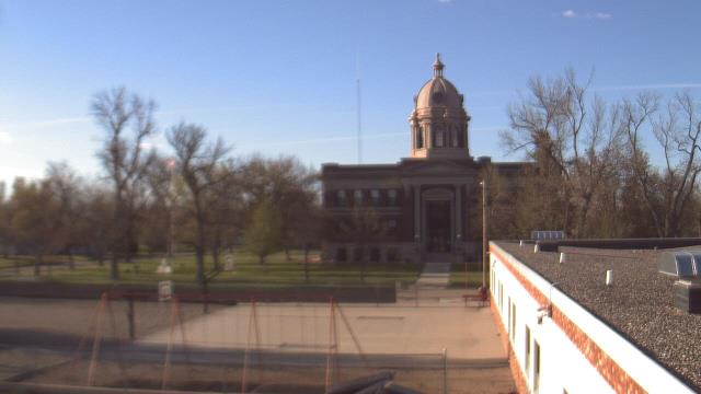
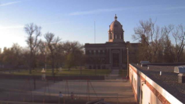
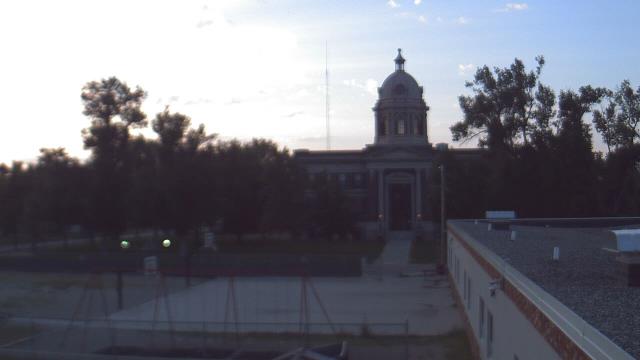
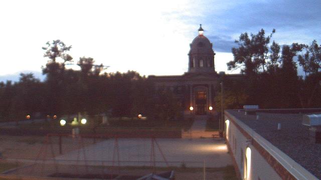
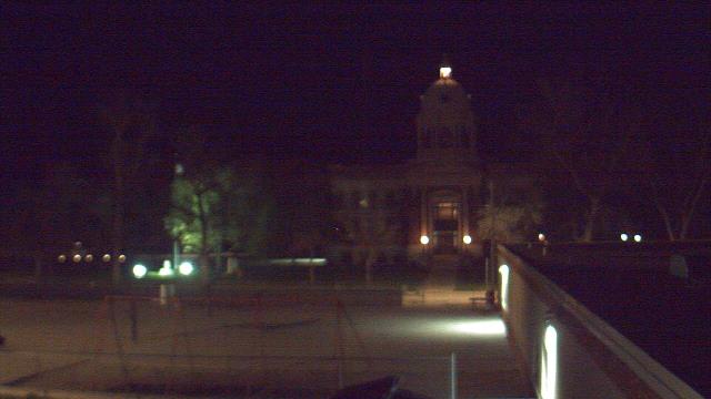
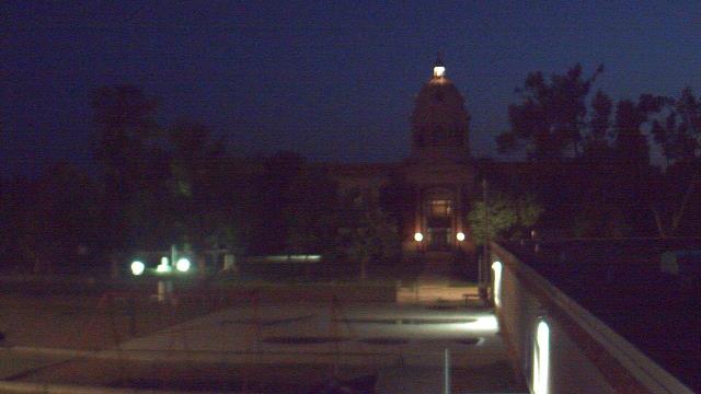
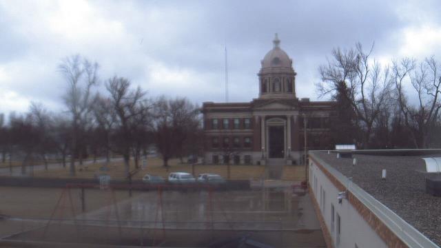
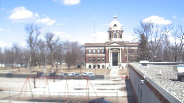
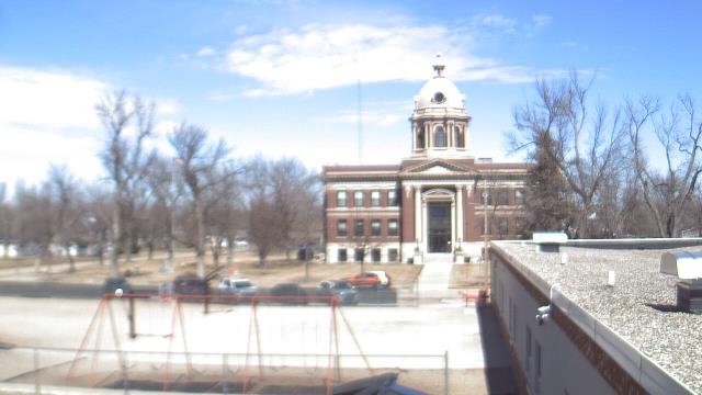
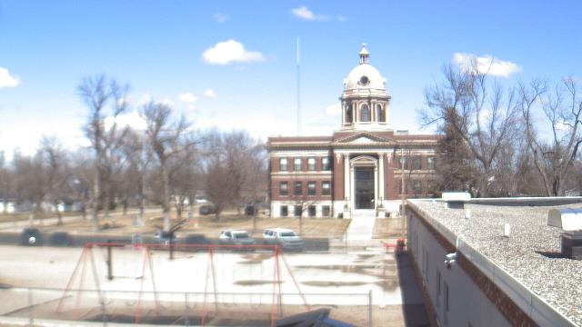
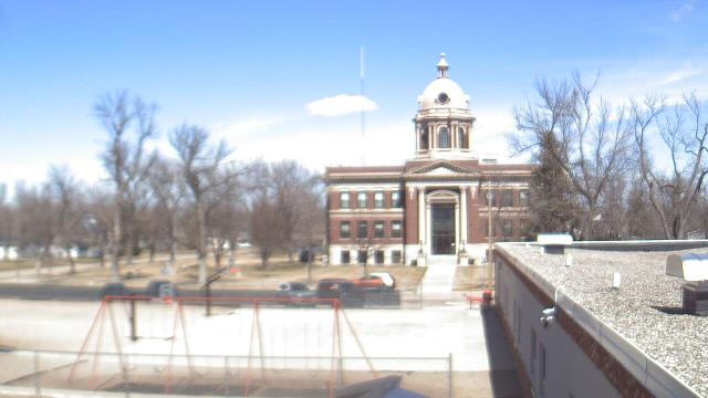
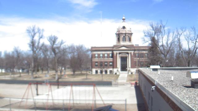
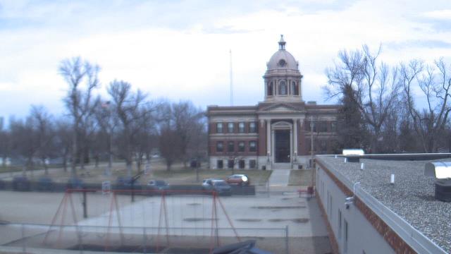
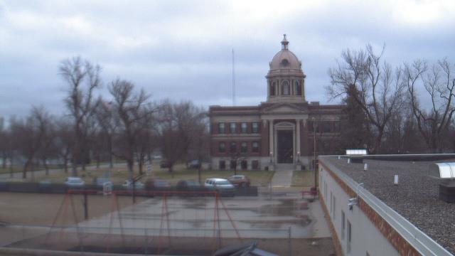
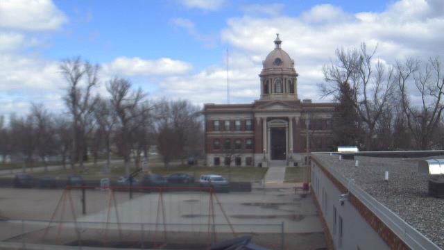
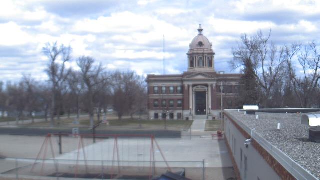
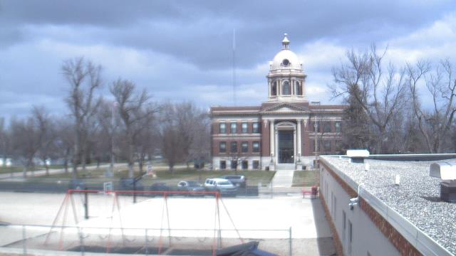
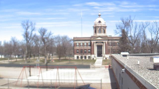
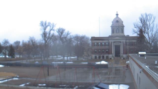
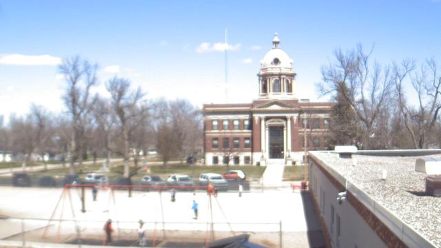
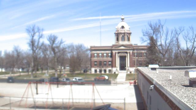
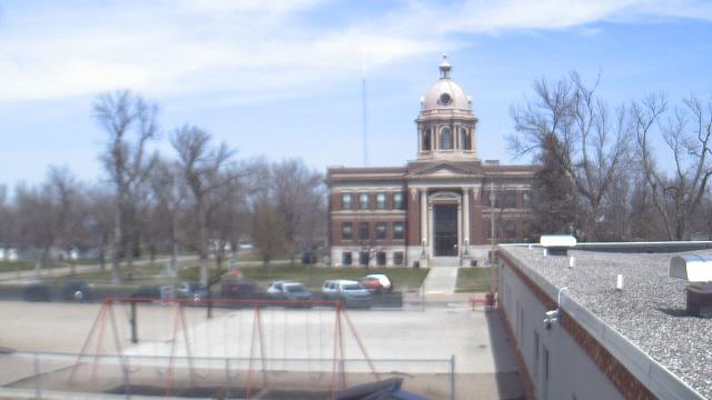
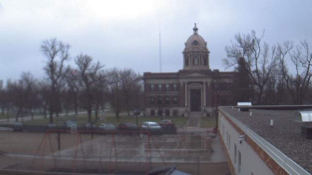
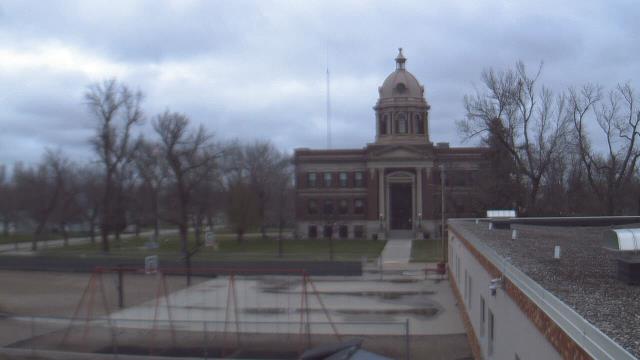
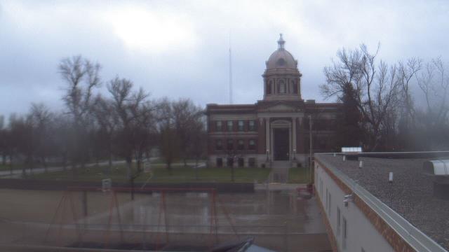
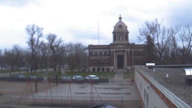
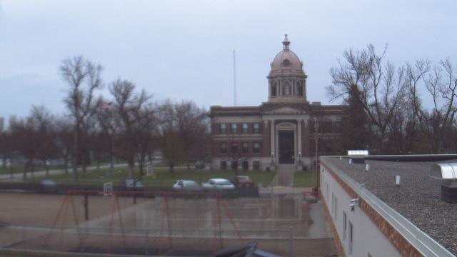
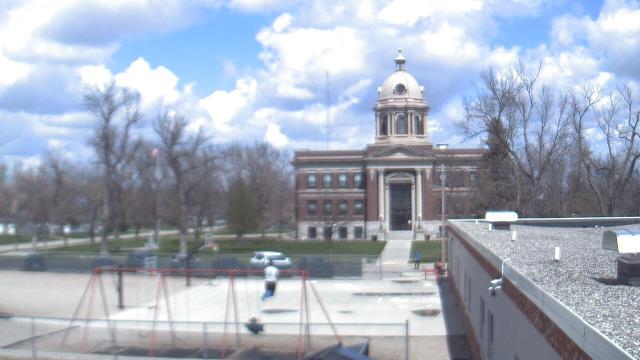
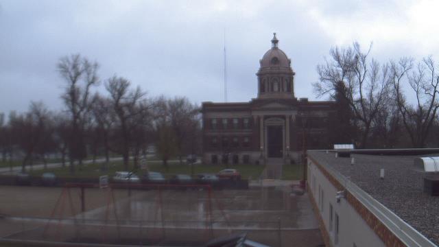
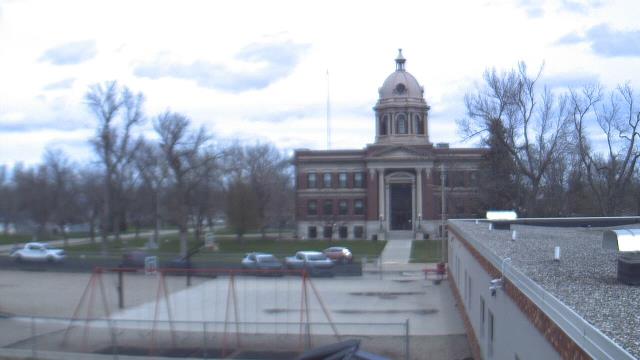
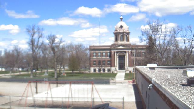
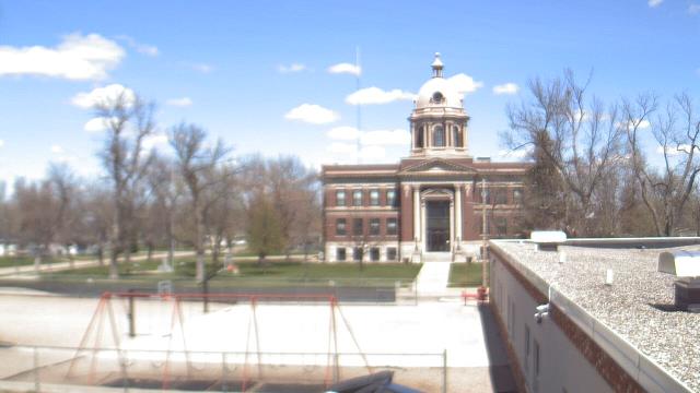
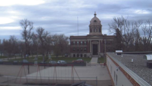
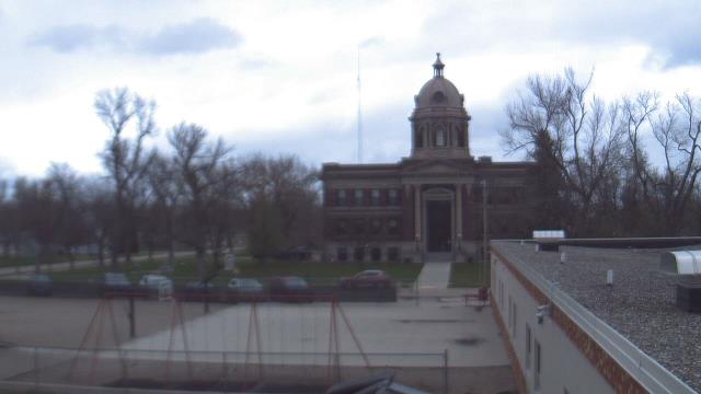
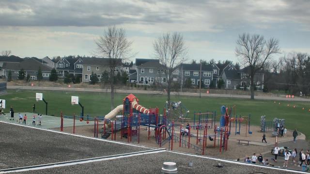
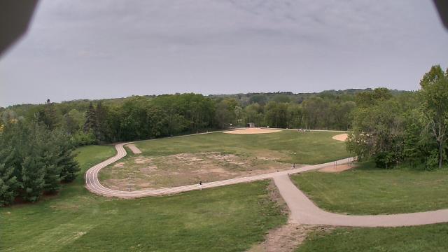
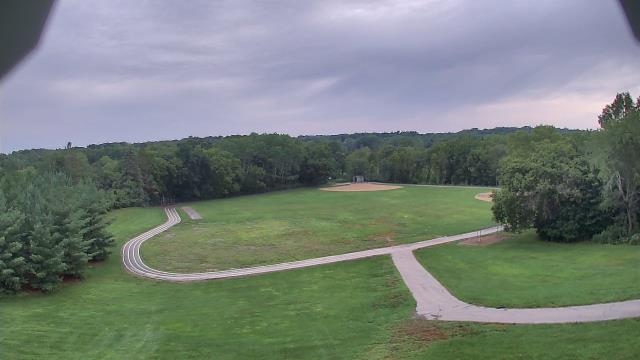
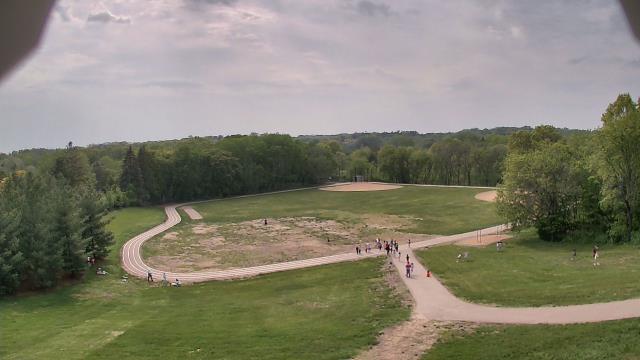
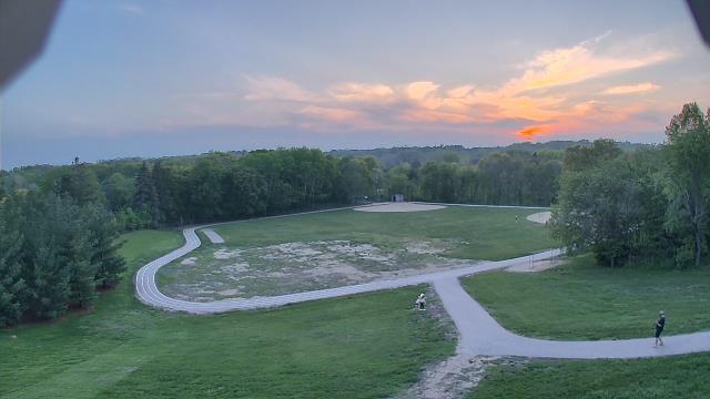
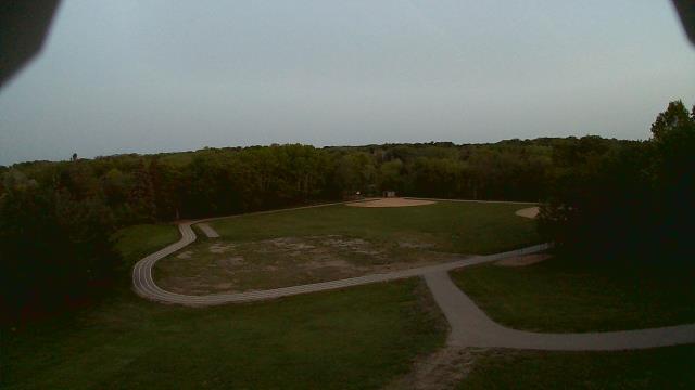
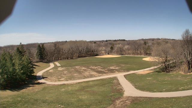
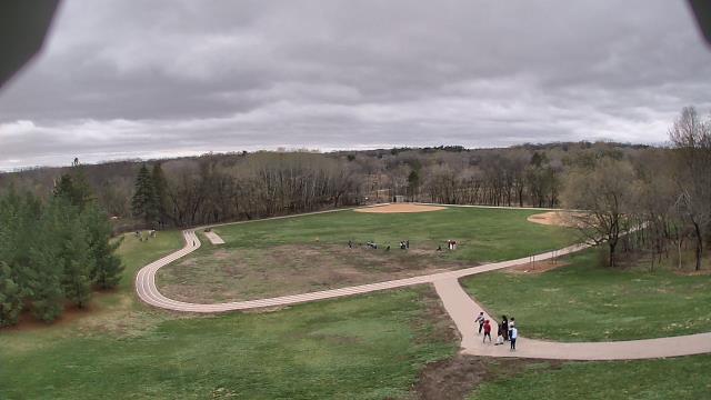
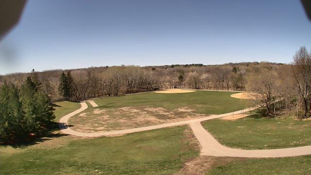
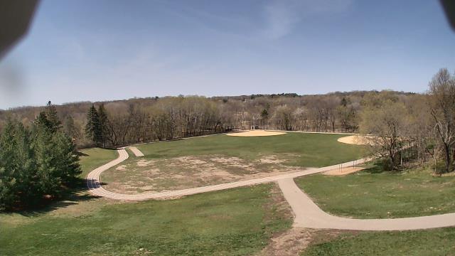
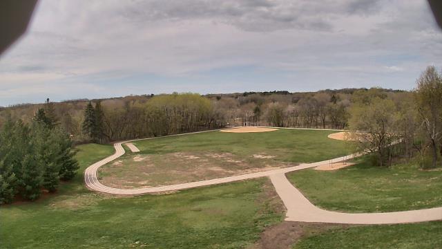
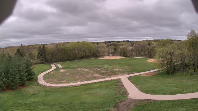
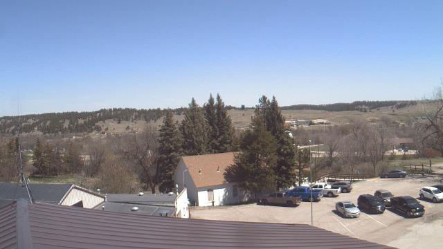
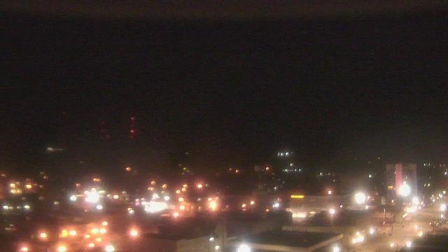
Ellendale, North Dakota, USA - 86.7 miles from Summit: Ellendale High School - A webcam in Ellendale, North Dakota - camera location: Ellendale High School.
Operator: WeatherBug
Operator: WeatherBug
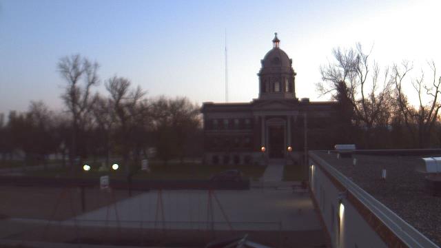
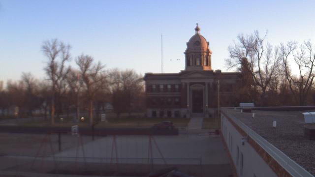
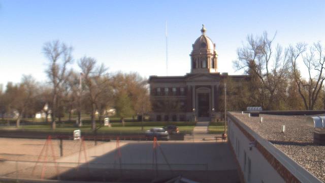


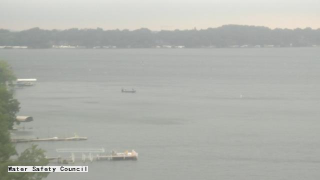
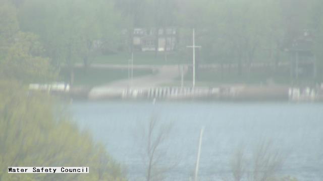
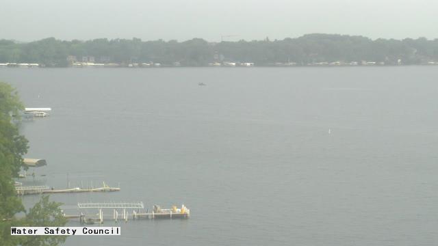
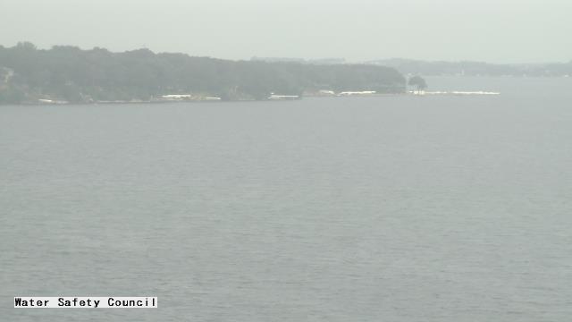
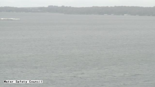
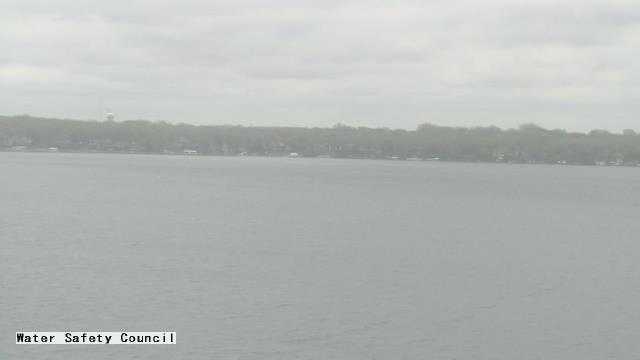
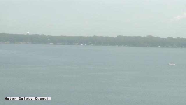
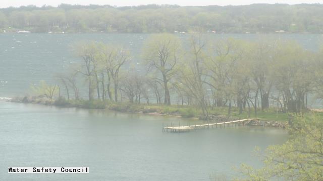
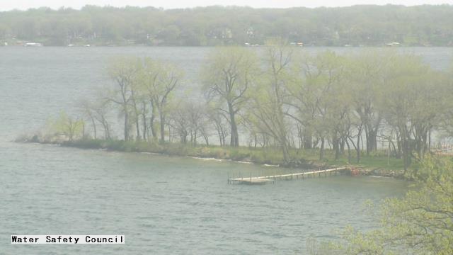
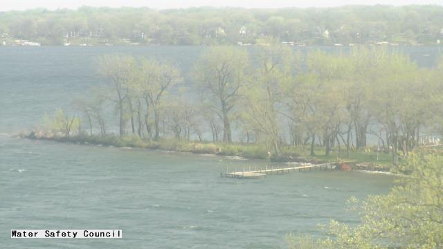
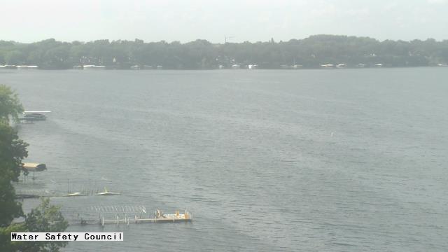
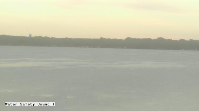
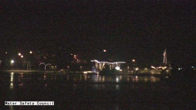
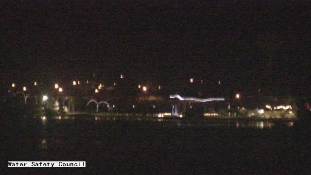
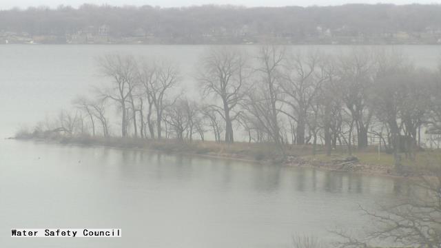
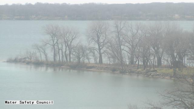
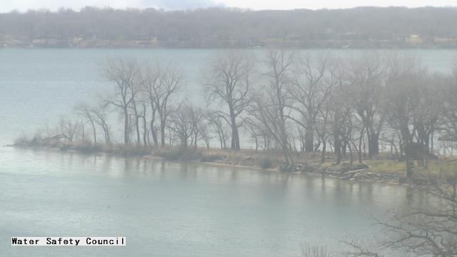
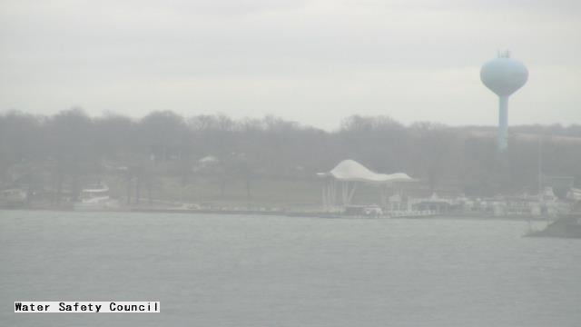
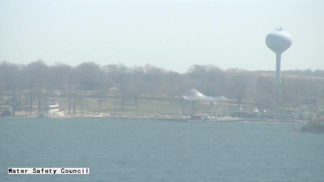
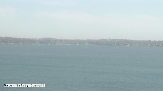
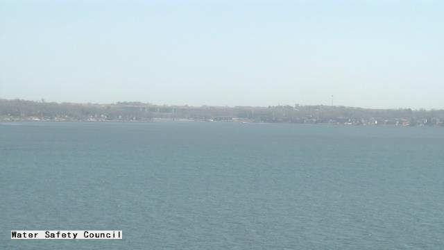
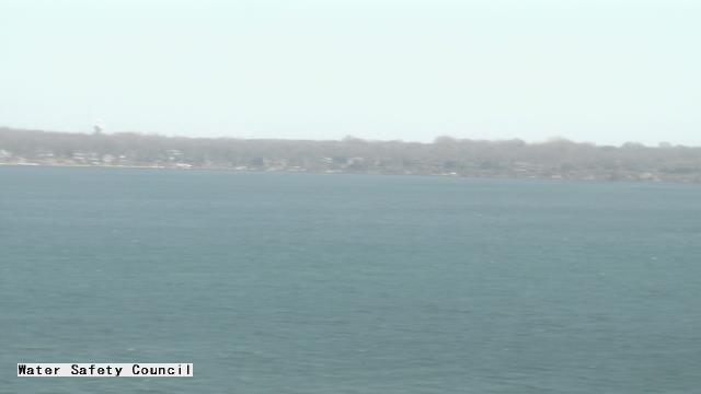
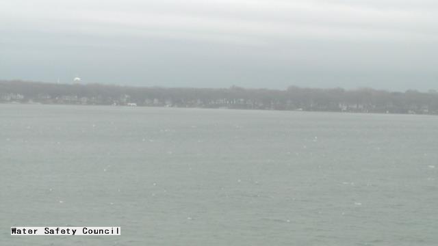
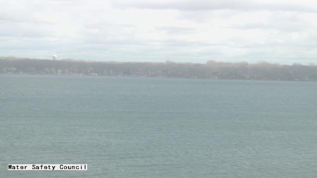
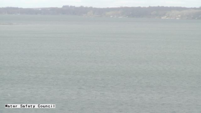
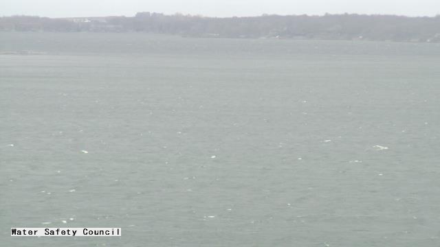
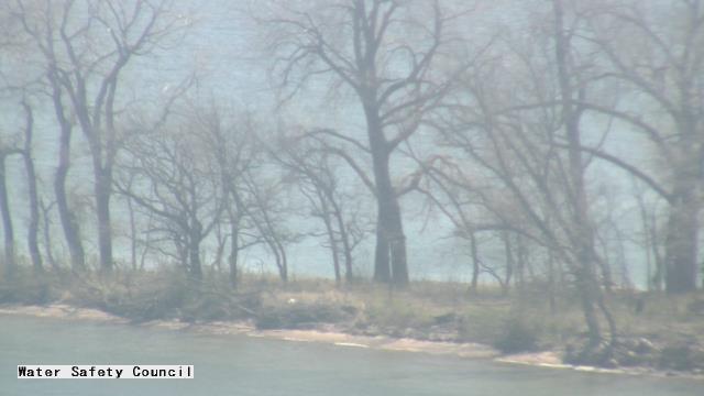
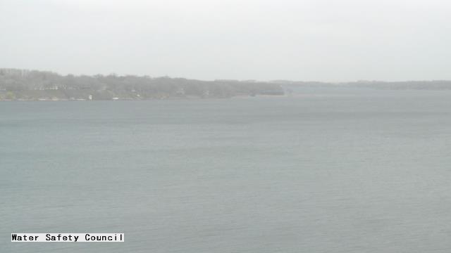
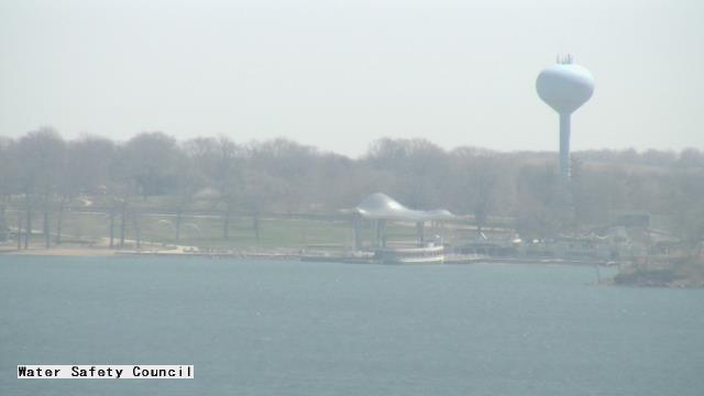
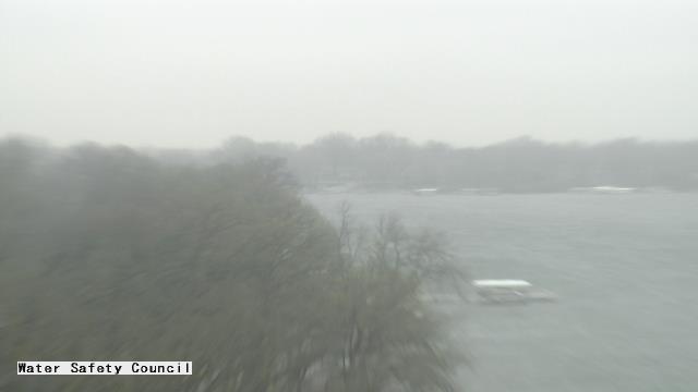
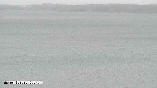
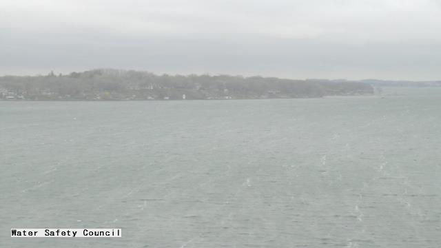
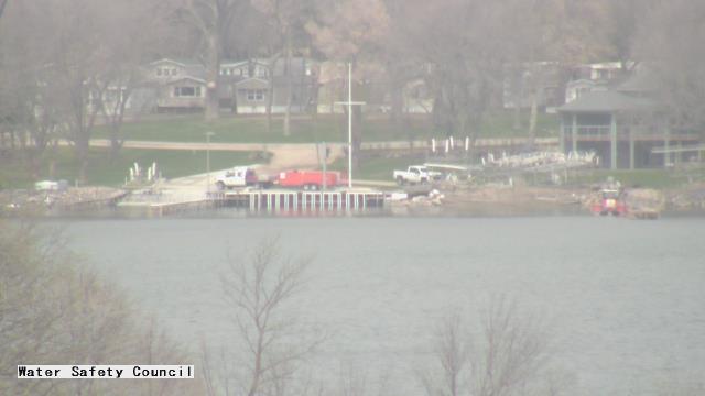
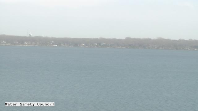
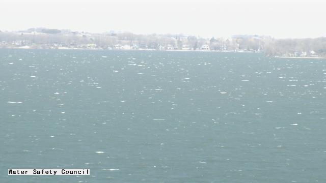
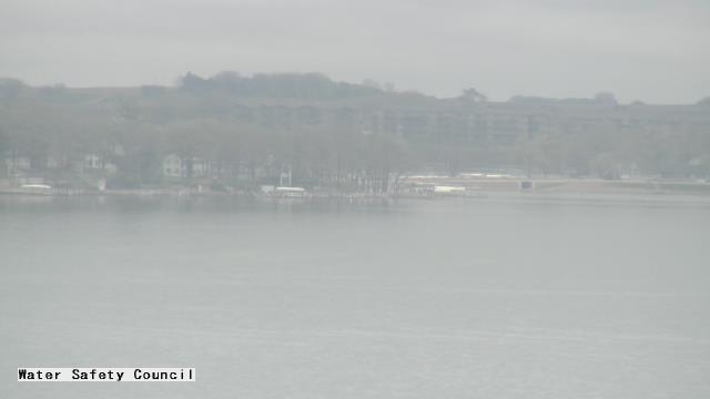
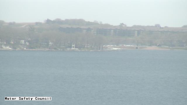
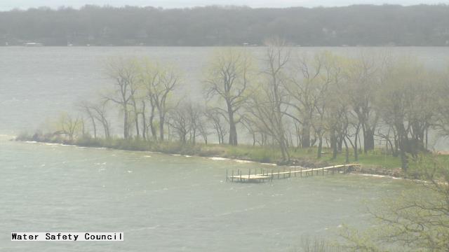
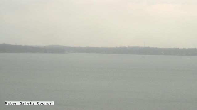
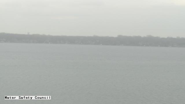
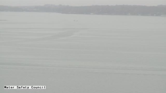
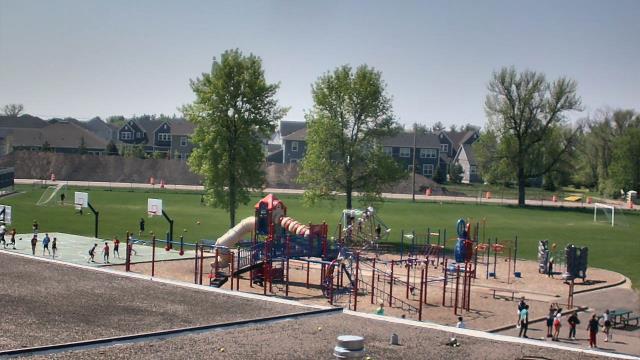
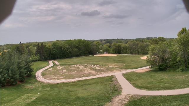
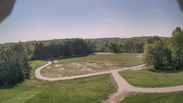
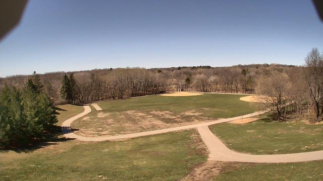
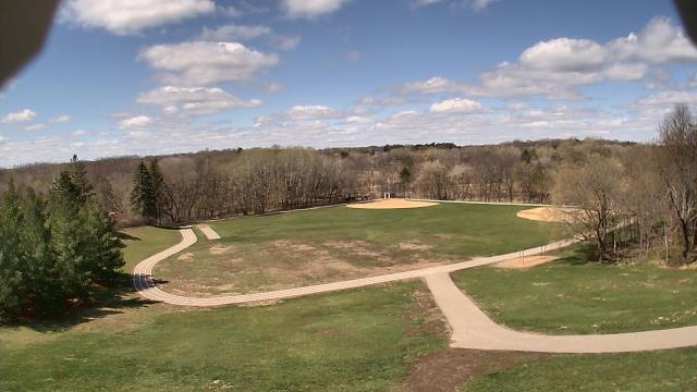
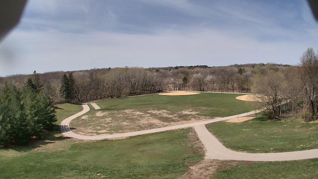
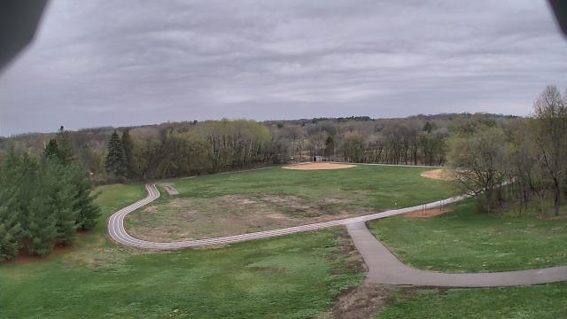
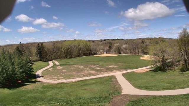
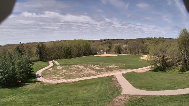
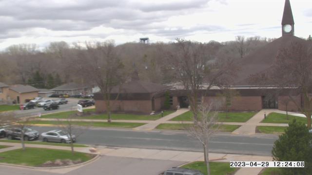
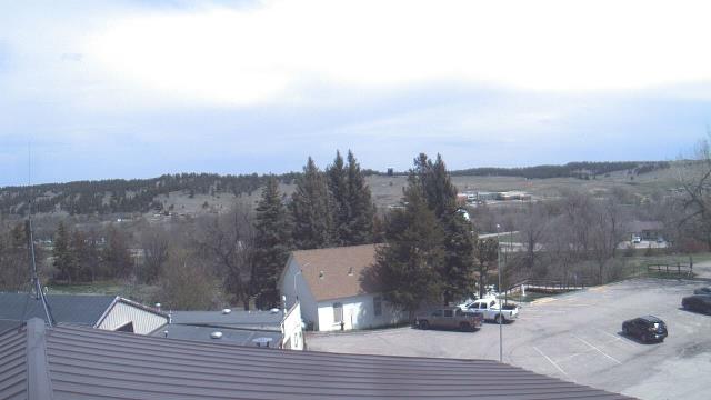
Okoboji, Iowa, USA - 162.1 miles from Summit: Iowa Great Lakes Water Safety Council - A webcam in Okoboji, Iowa - camera location: Iowa Great Lakes Water Safety Council.
Operator: WeatherBug
Operator: WeatherBug


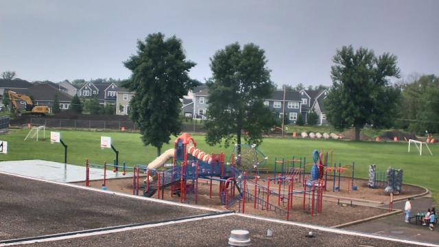
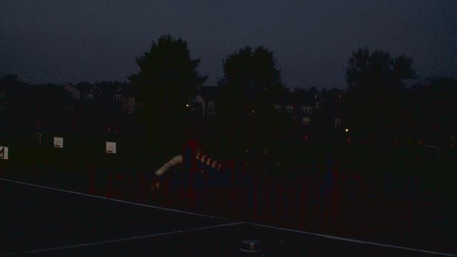
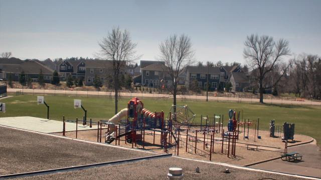
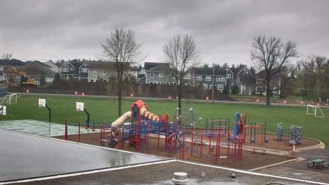
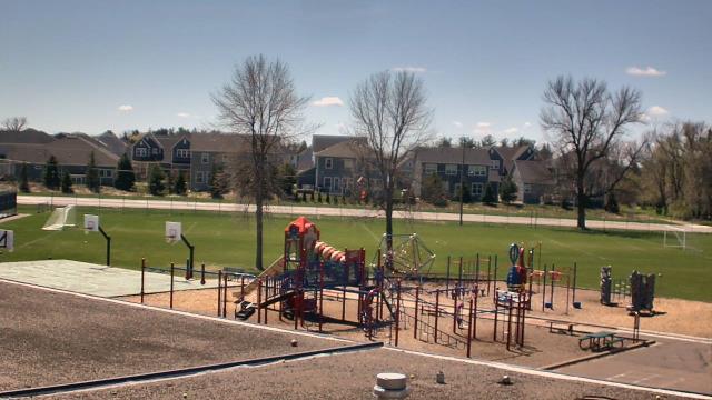
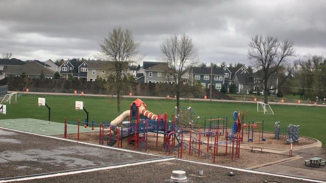
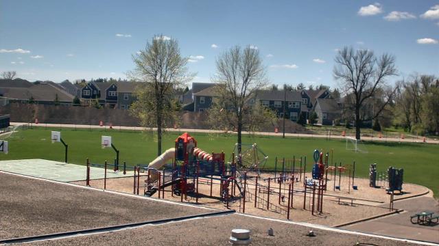
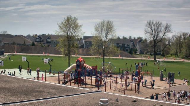
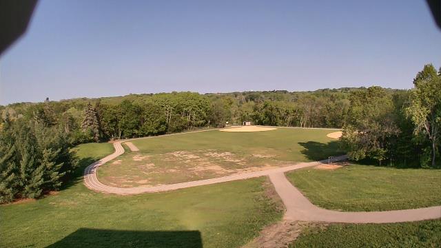
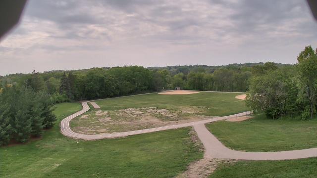
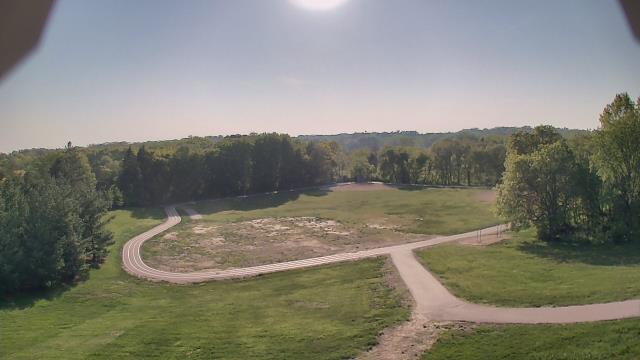
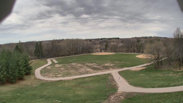
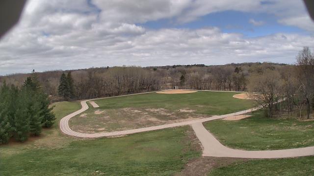
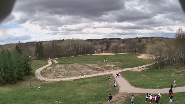
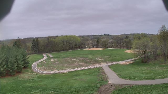
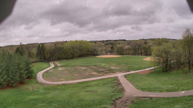
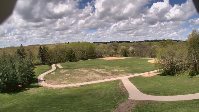
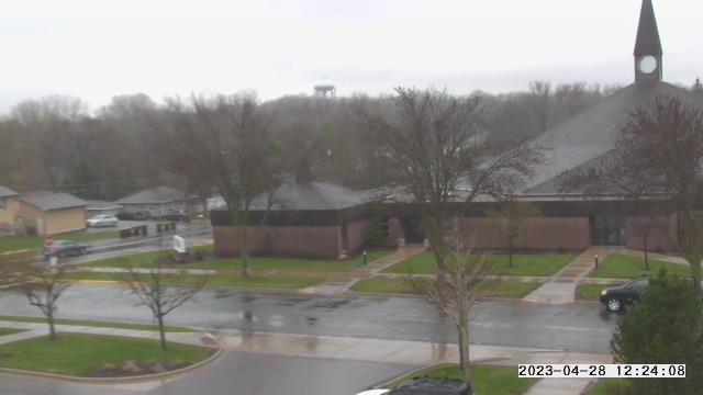
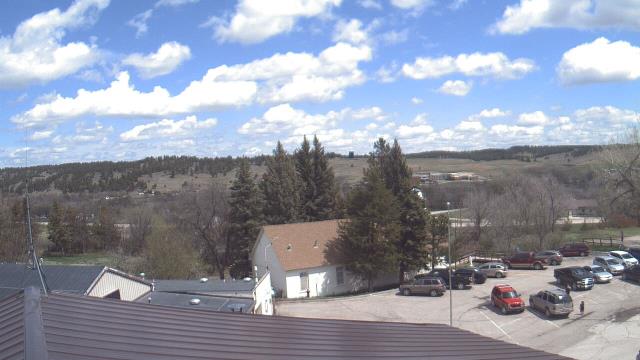
Long Lake, Minnesota, USA - 170.3 miles from Summit: Orono Intermediate School - A webcam in Long Lake, Minnesota - camera location: Orono Intermediate School.
Operator: WeatherBug
Operator: WeatherBug
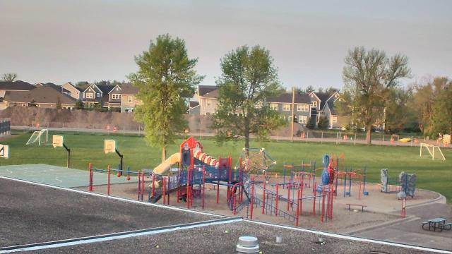
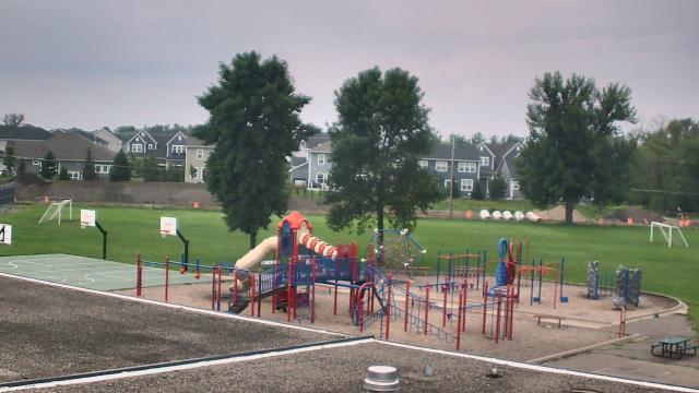
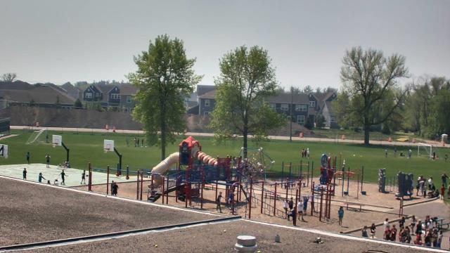

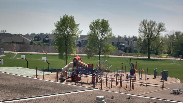
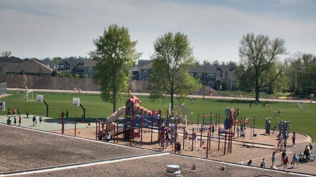
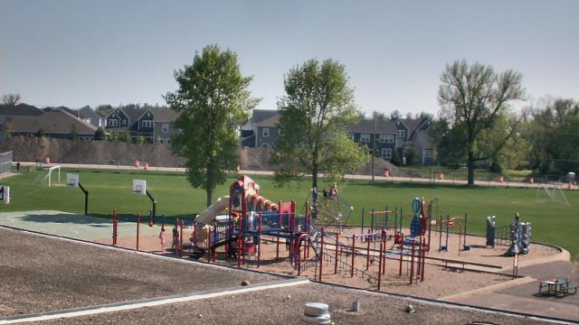
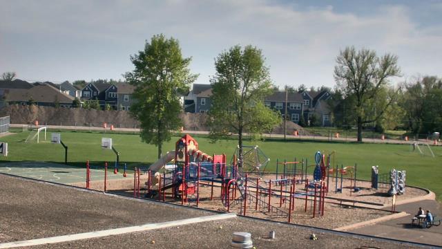
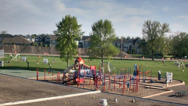
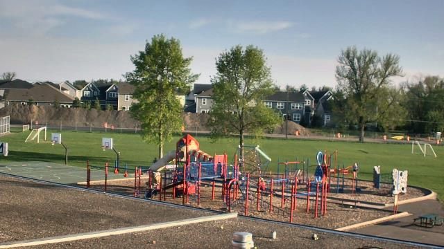
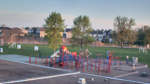
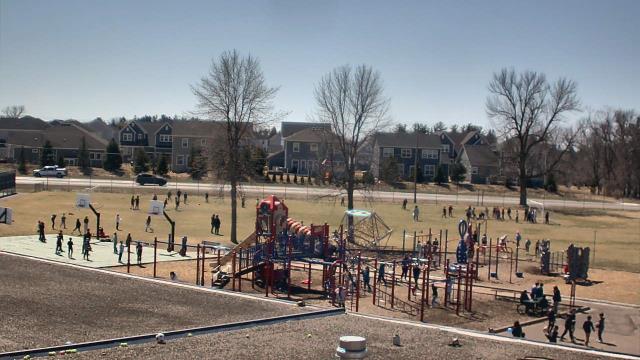
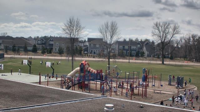

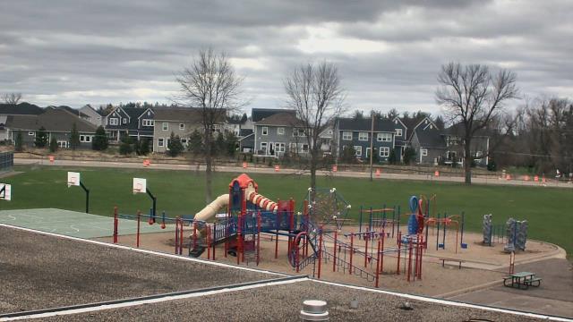
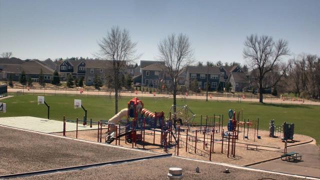
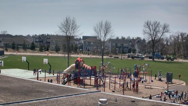
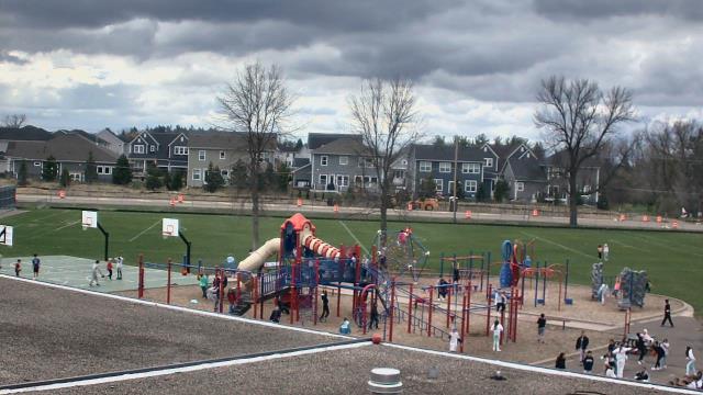
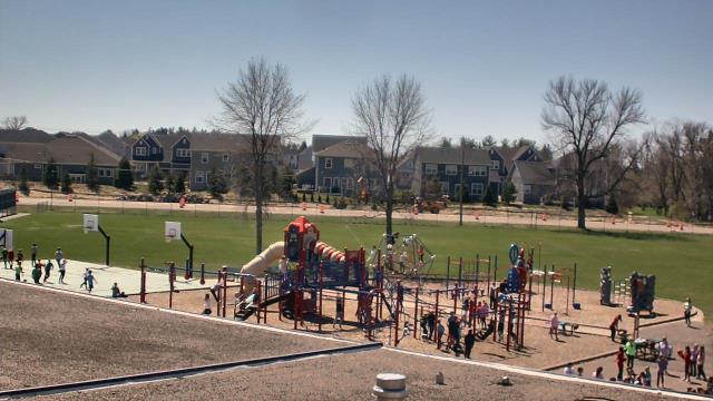
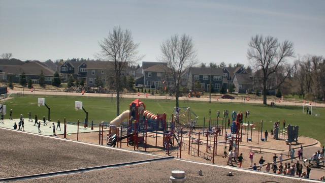
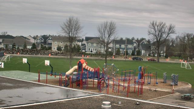
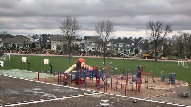
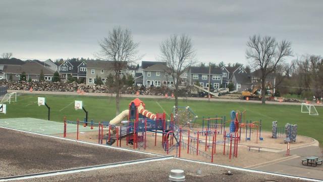
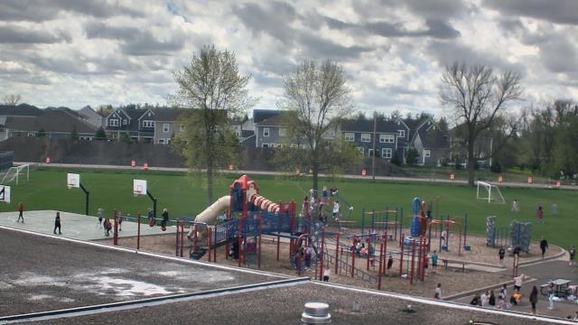

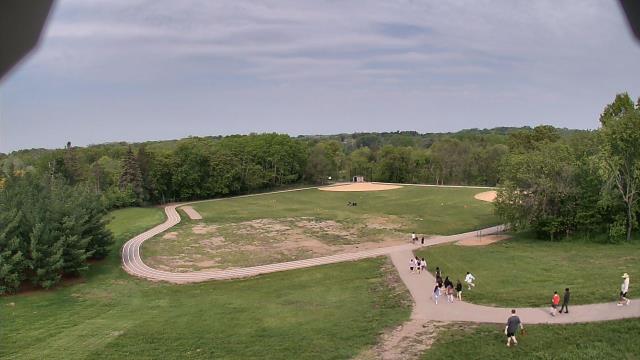
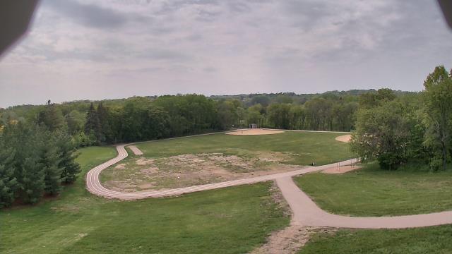
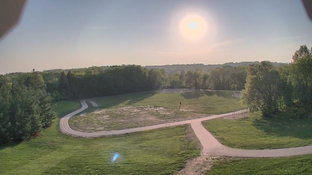
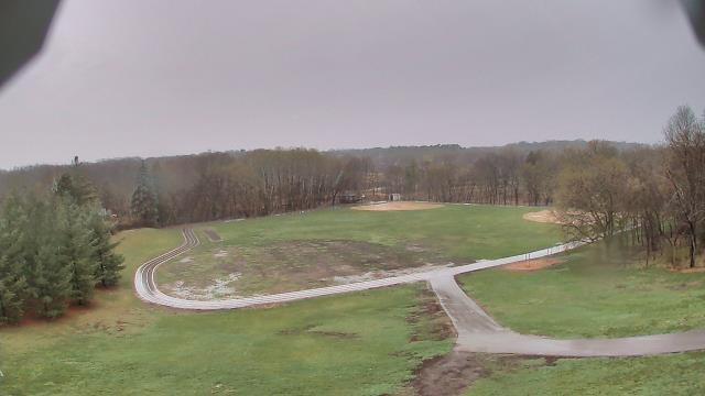
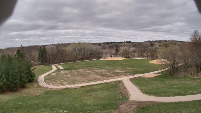
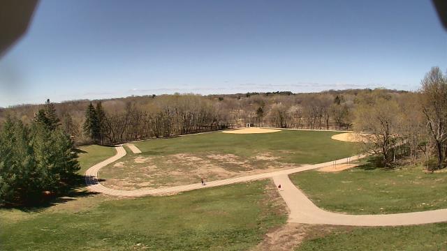
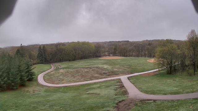
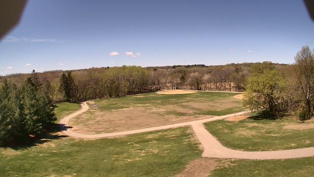
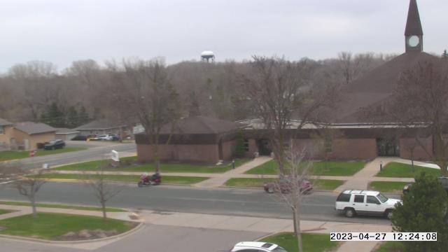
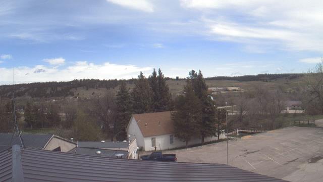
Minnetonka, Minnesota, USA - 175.3 miles from Summit: Scenic Heights Elementary School - A webcam in Minnetonka, Minnesota - camera location: Scenic Heights Elementary School.
Operator: WeatherBug
Operator: WeatherBug
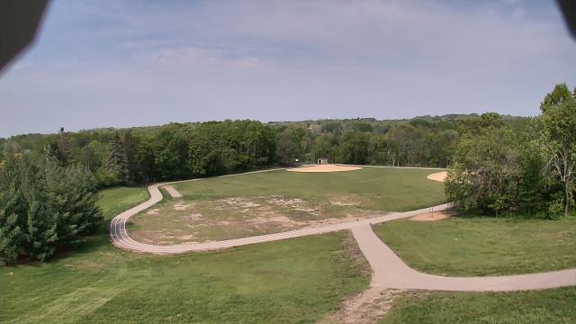


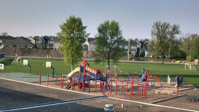
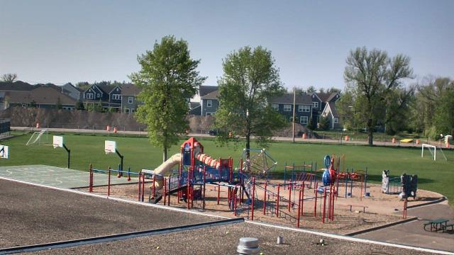
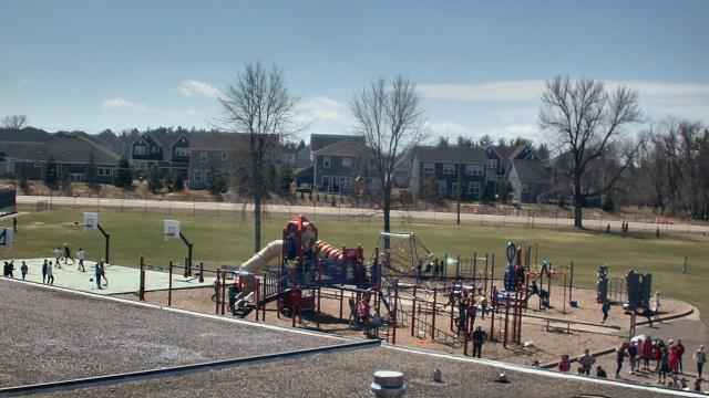
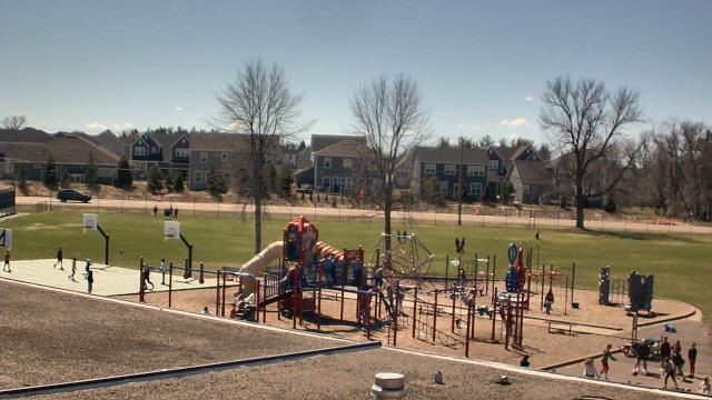
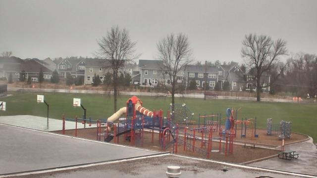
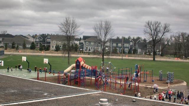
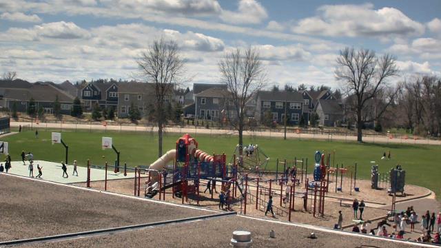
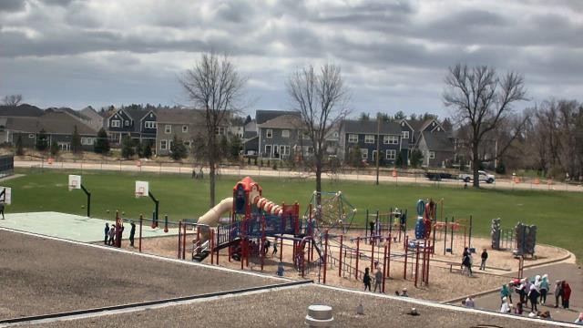
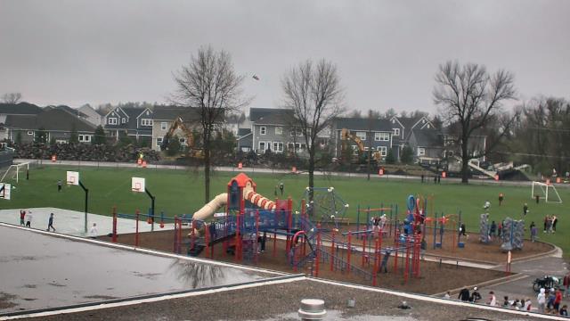
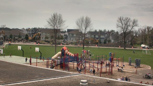
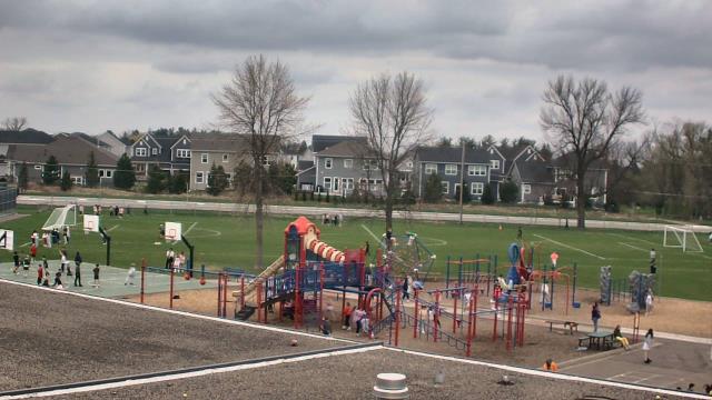
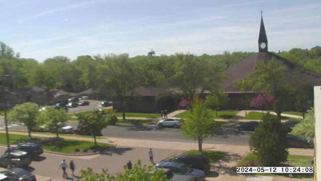
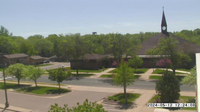
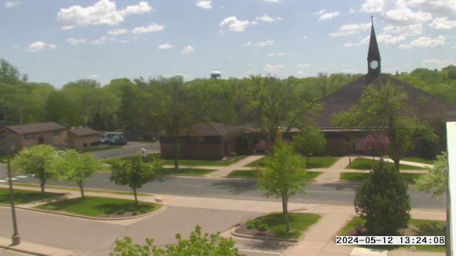
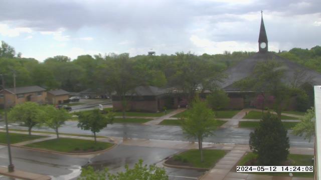
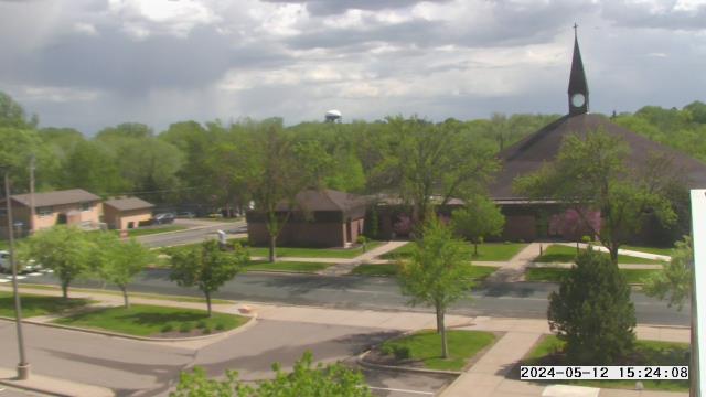
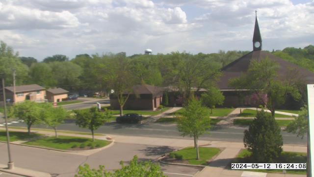
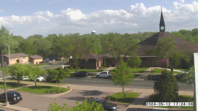
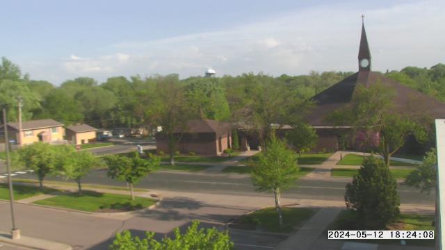
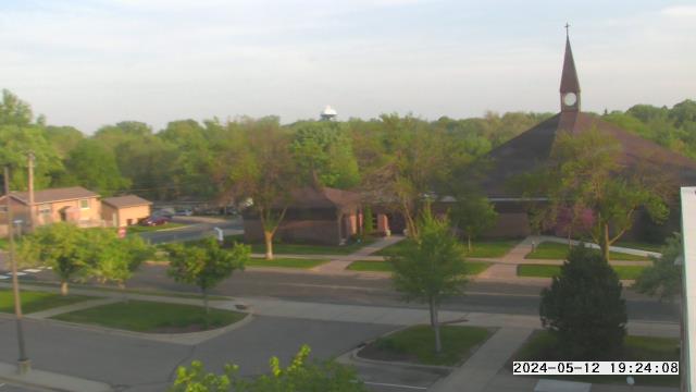
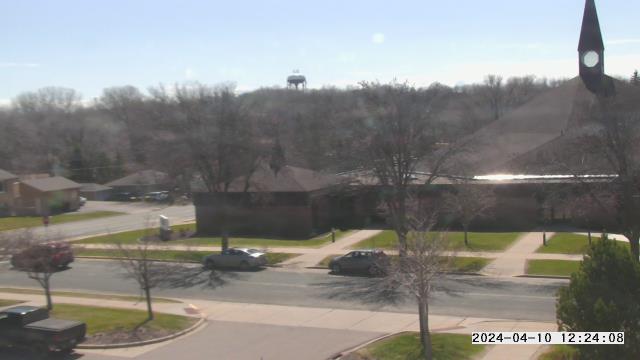
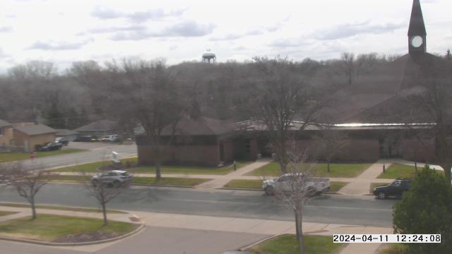
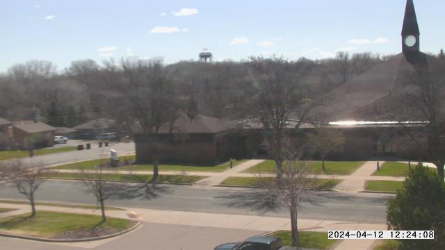
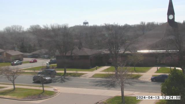
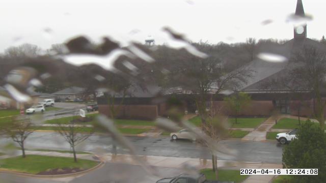
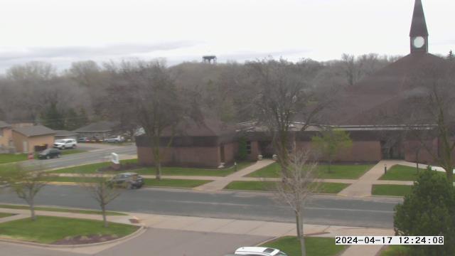
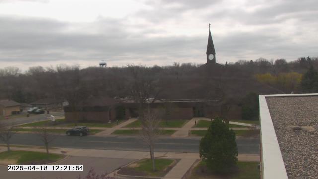
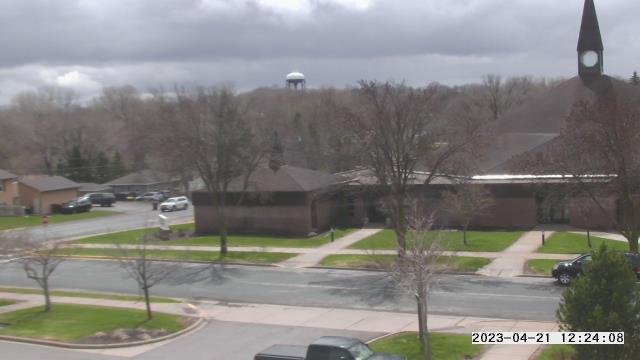
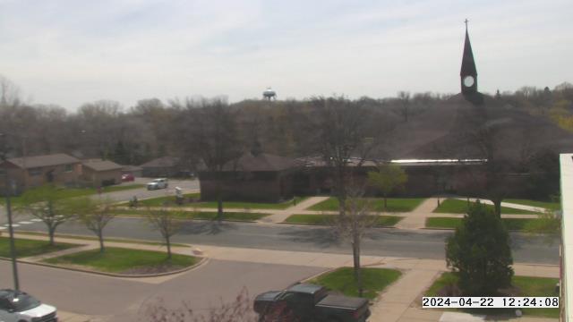
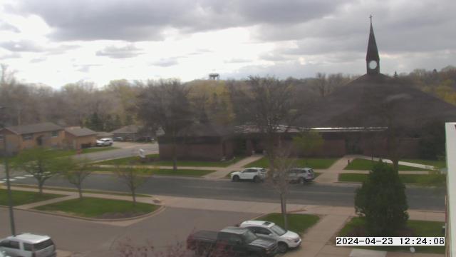
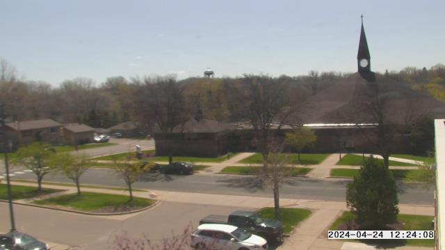
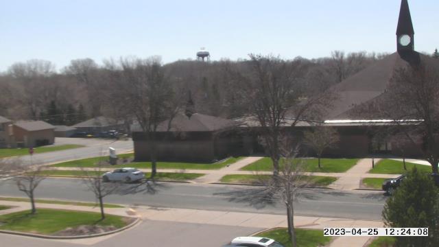
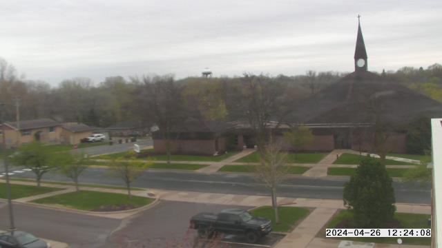
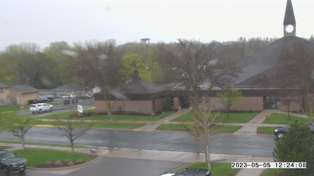
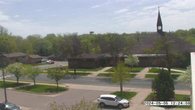
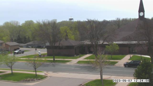
Prior Lake, Minnesota, USA - 181.2 miles from Summit: St. Michael Catholic School - A webcam in Prior Lake, Minnesota - camera location: St. Michael Catholic School.
Operator: WeatherBug
Operator: WeatherBug


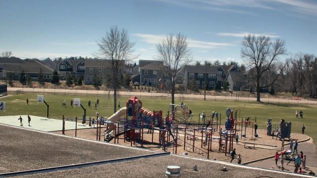
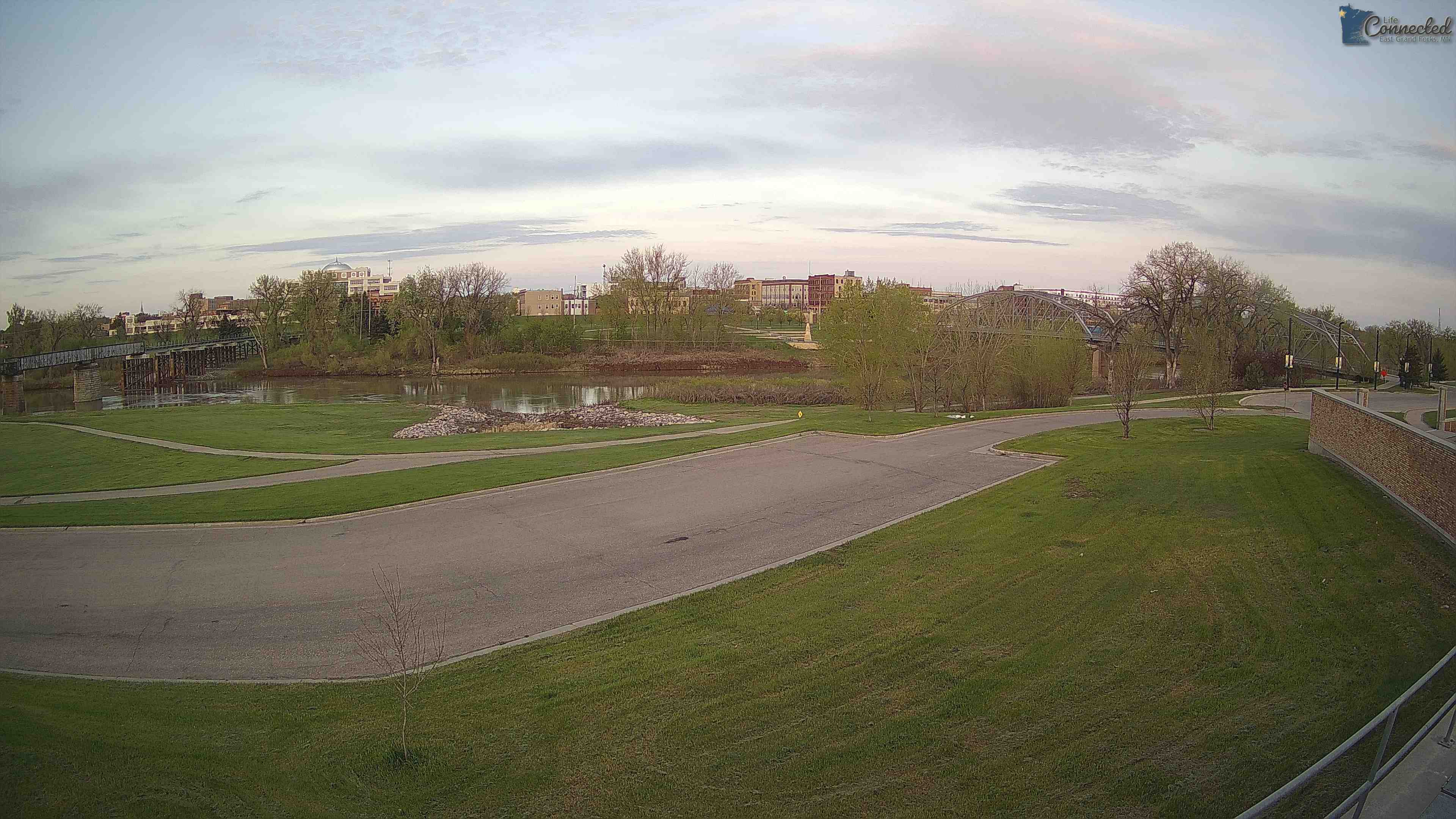
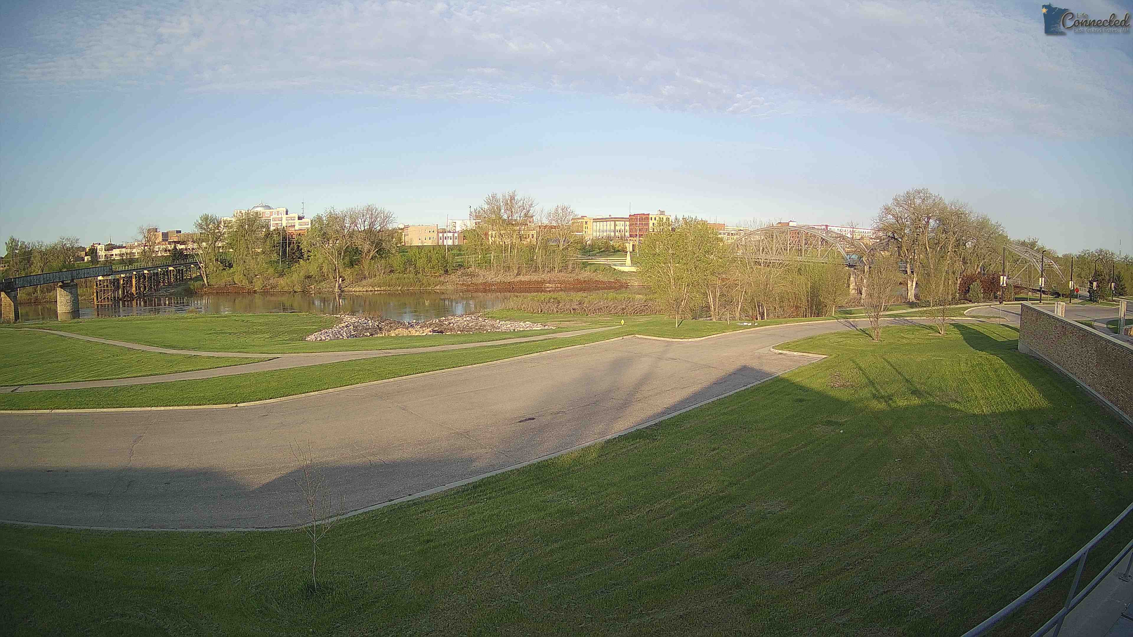
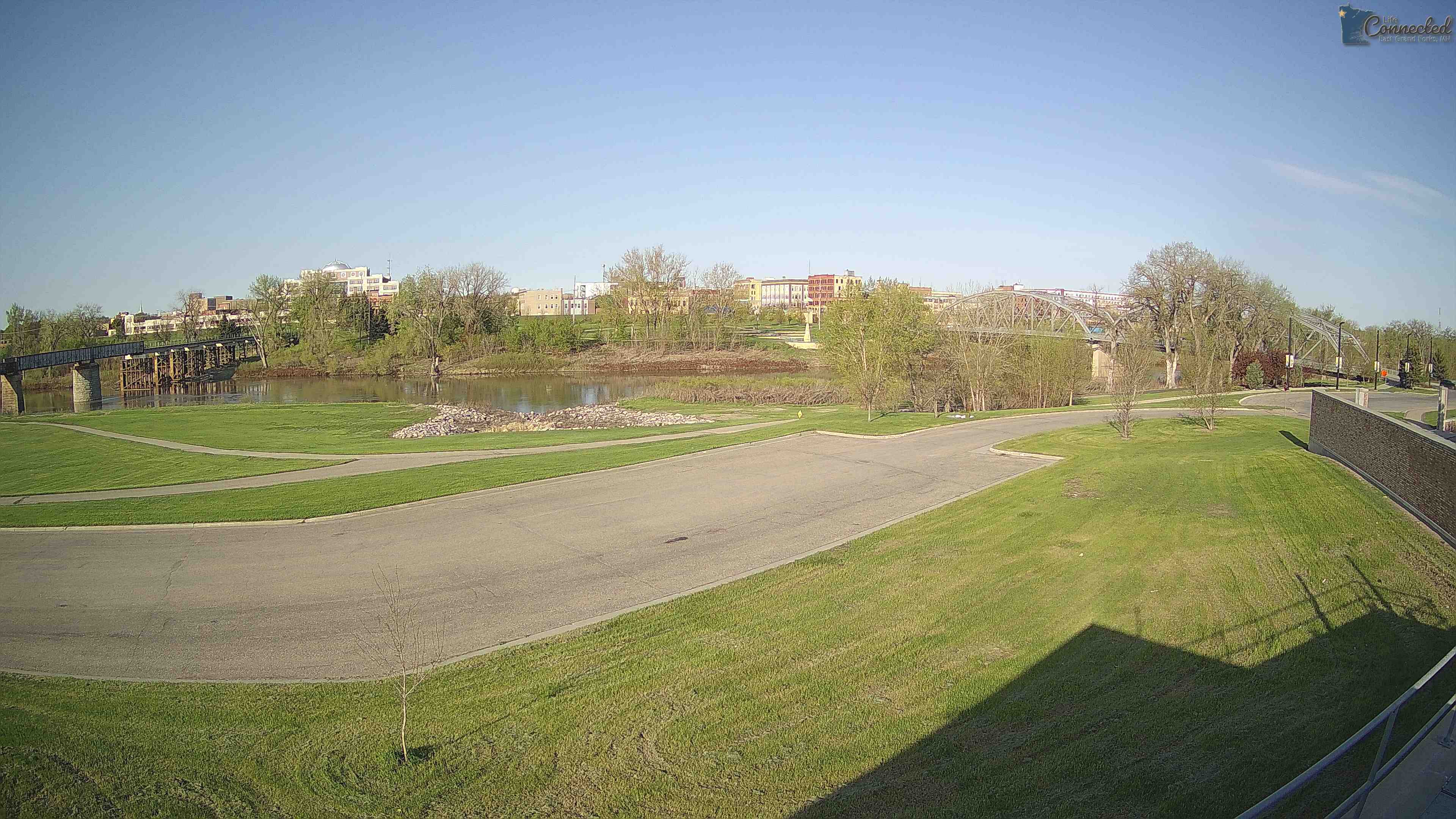
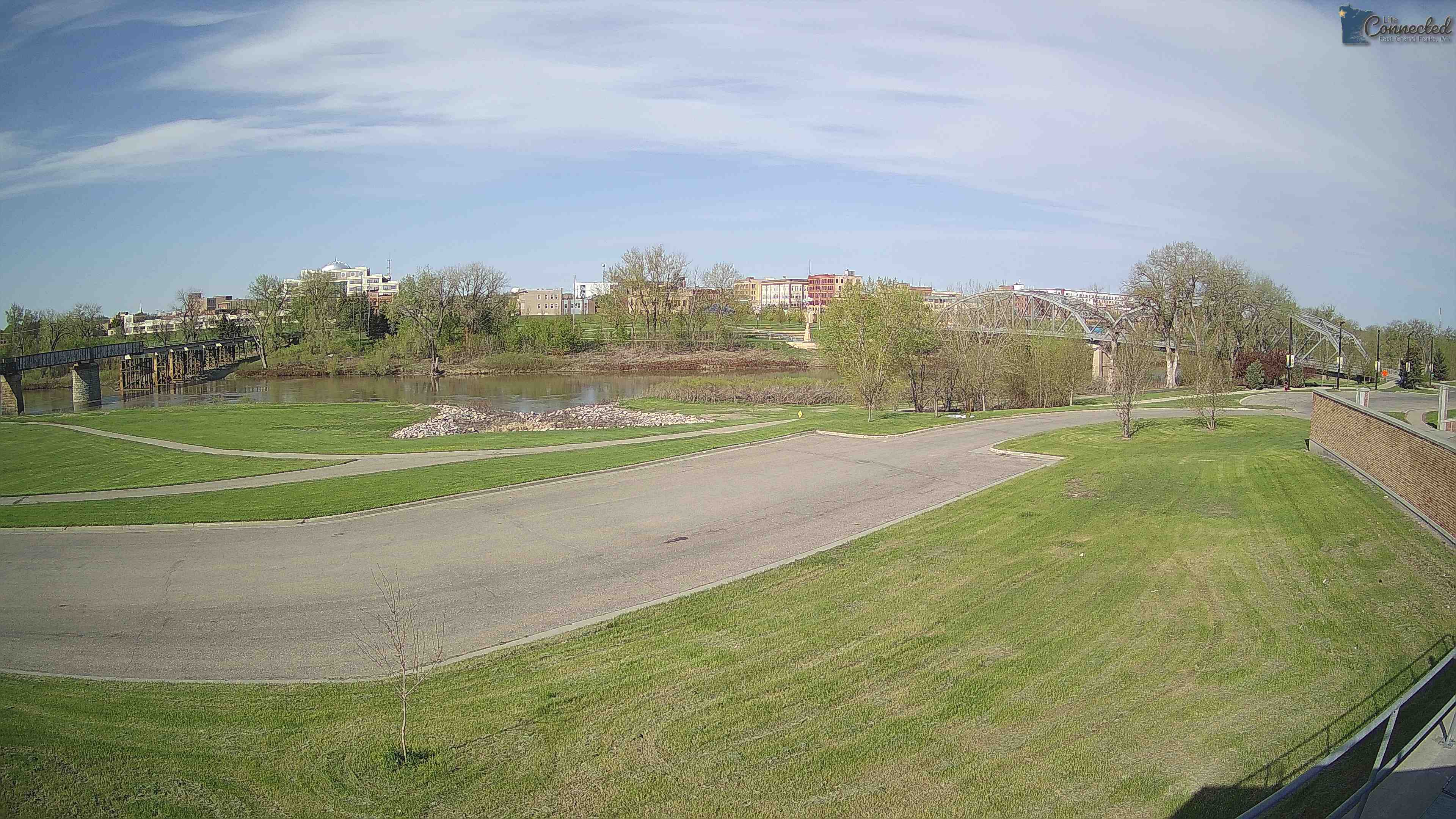
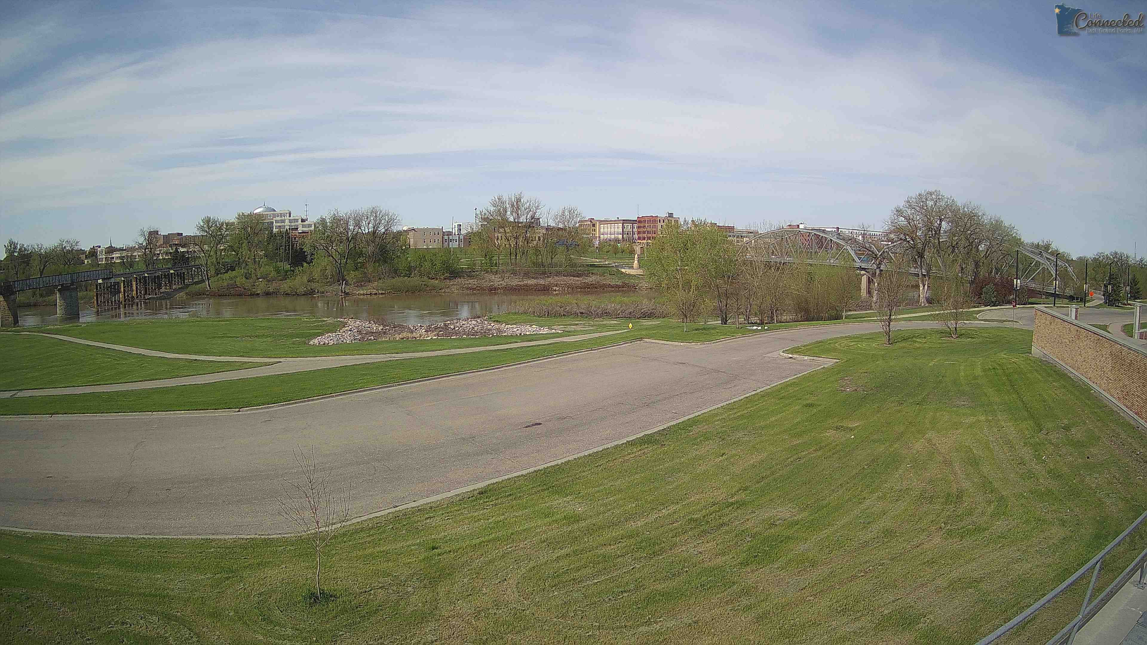
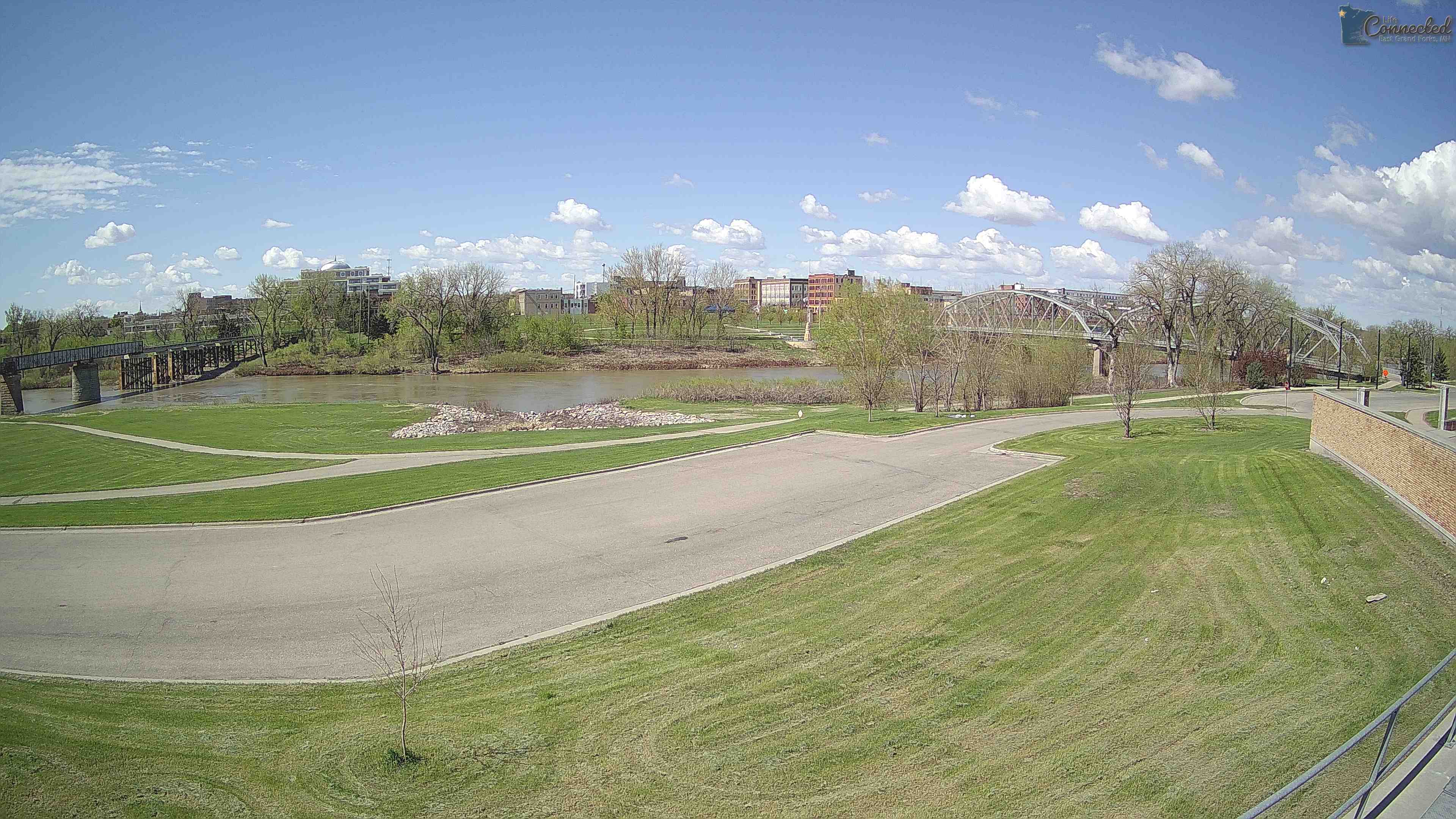
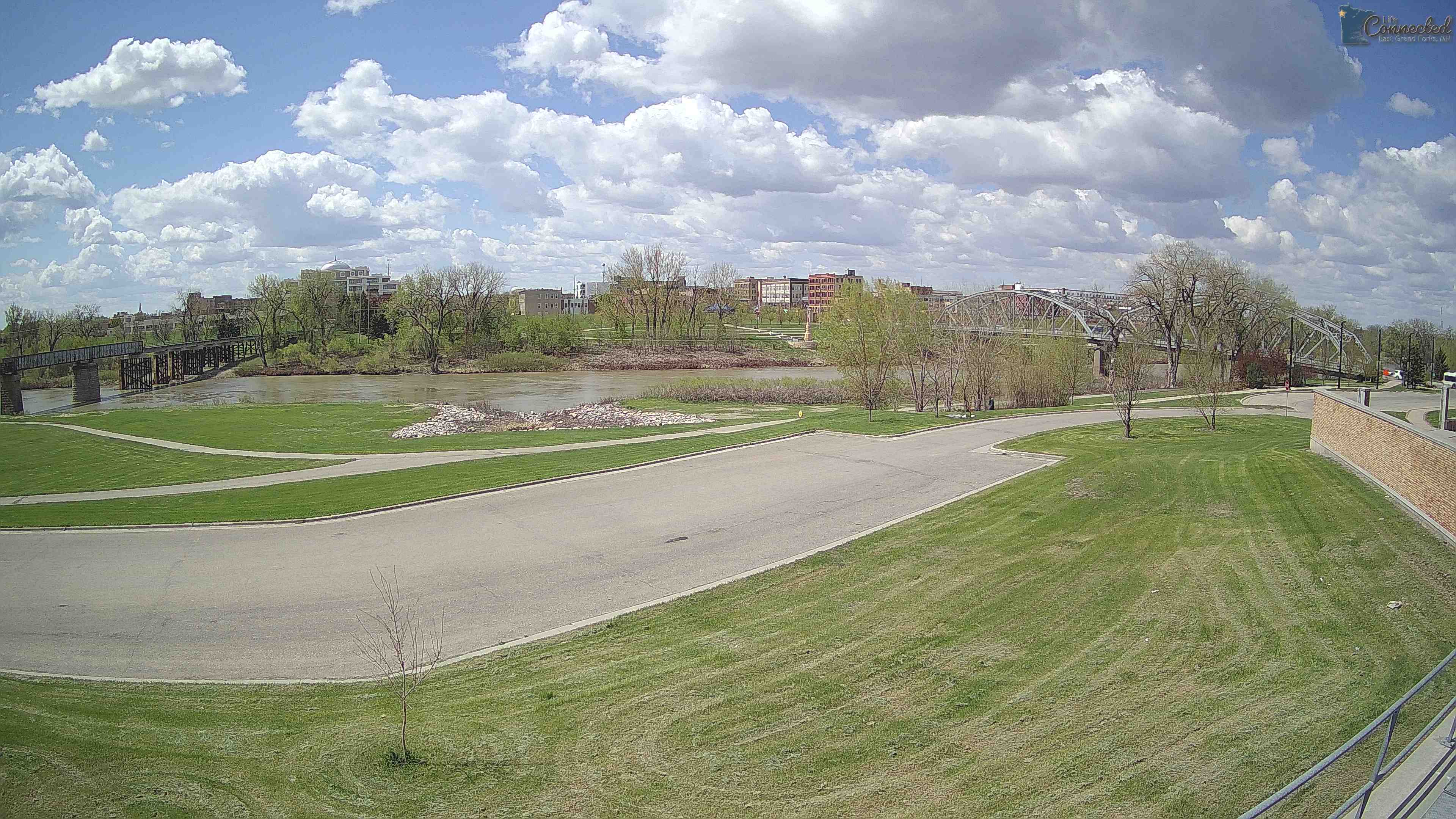
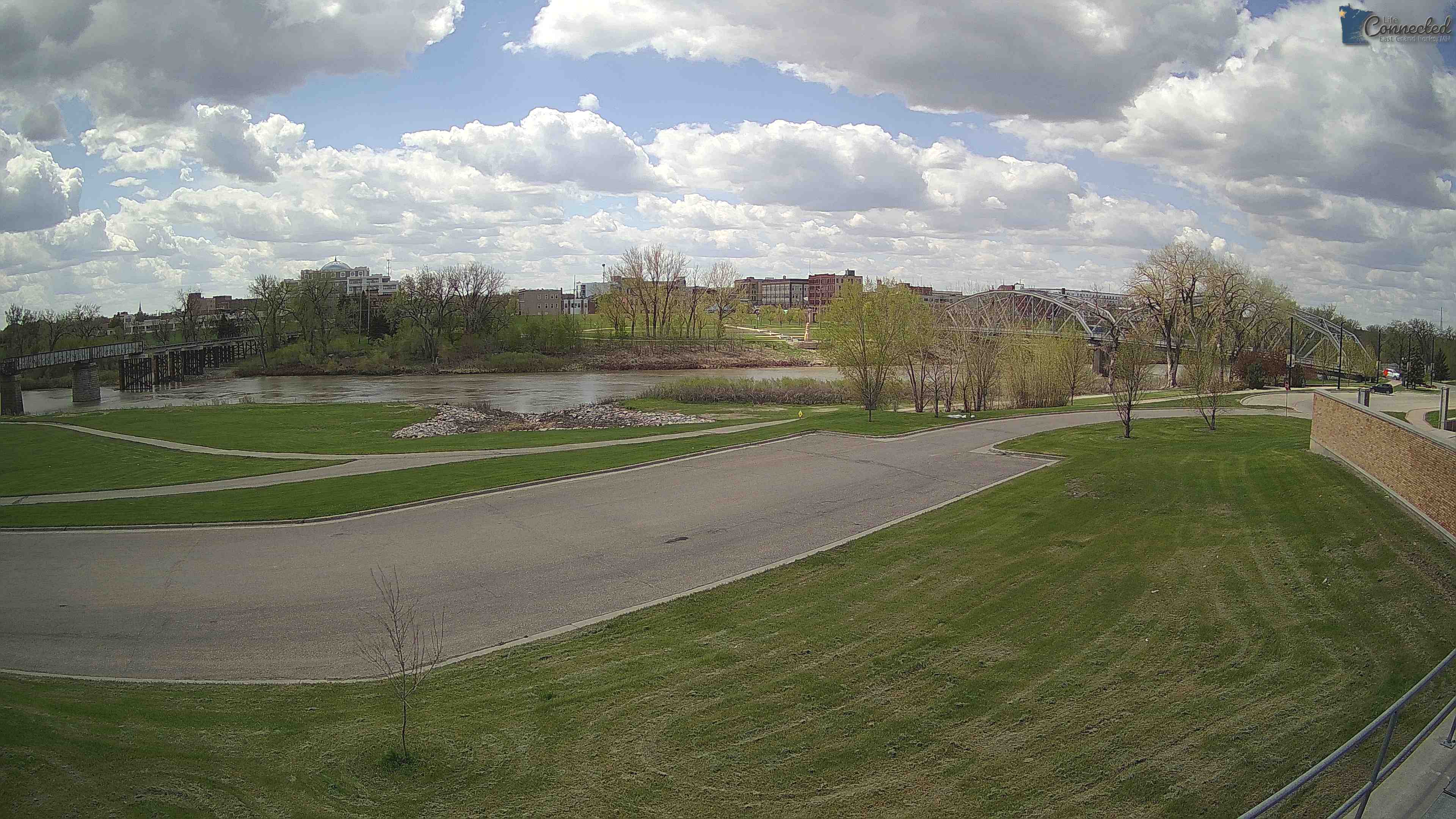
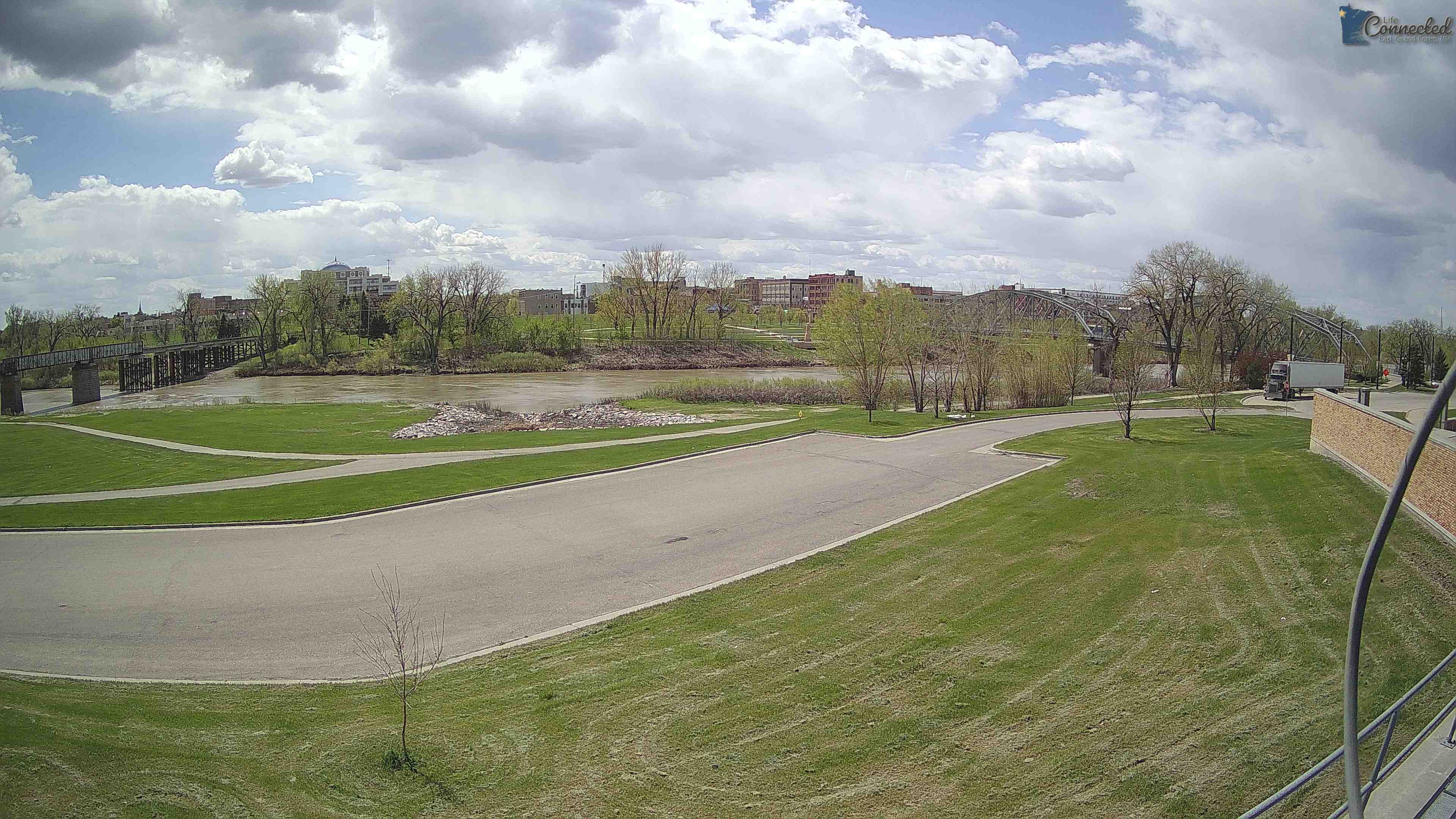
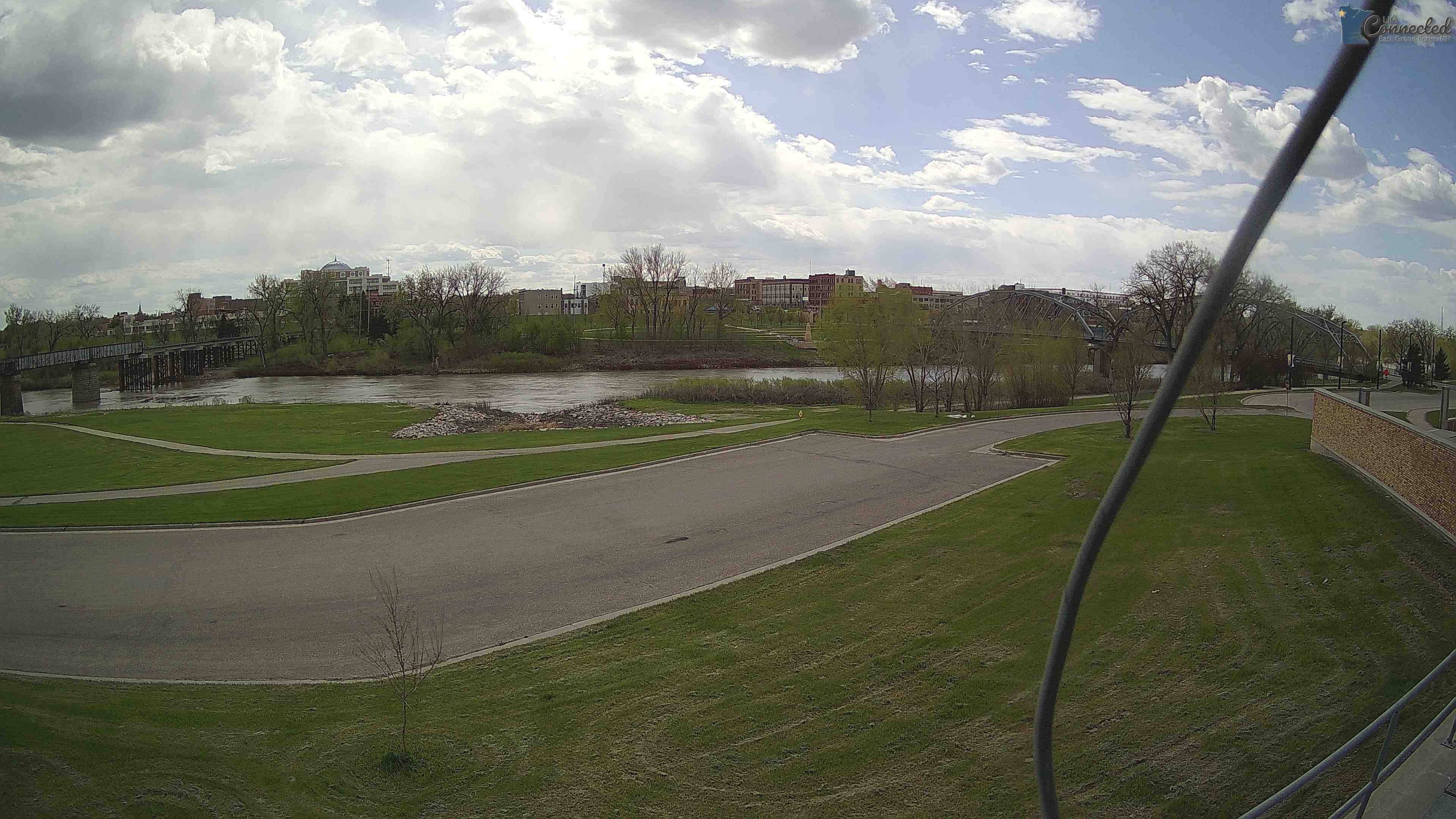
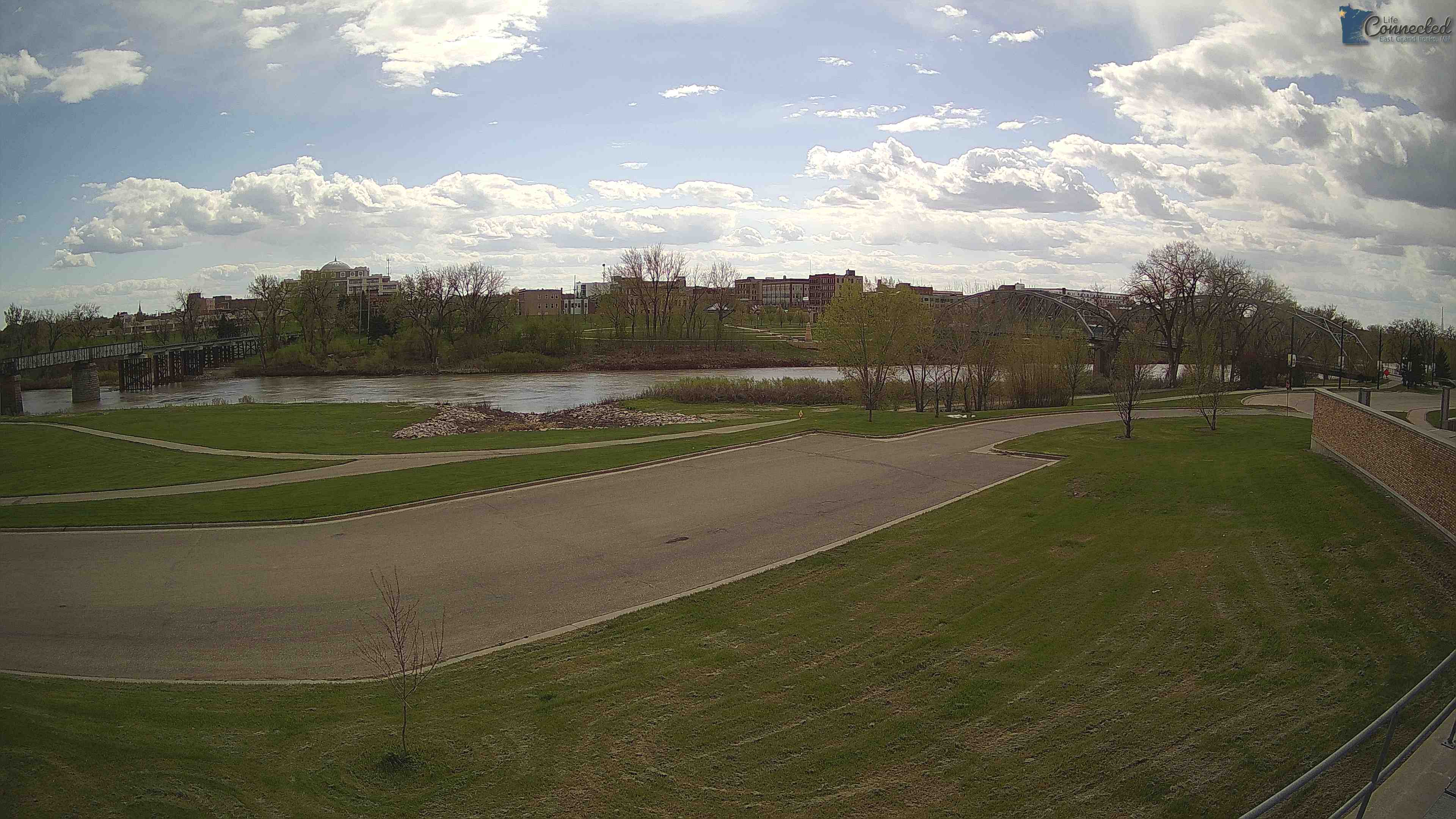
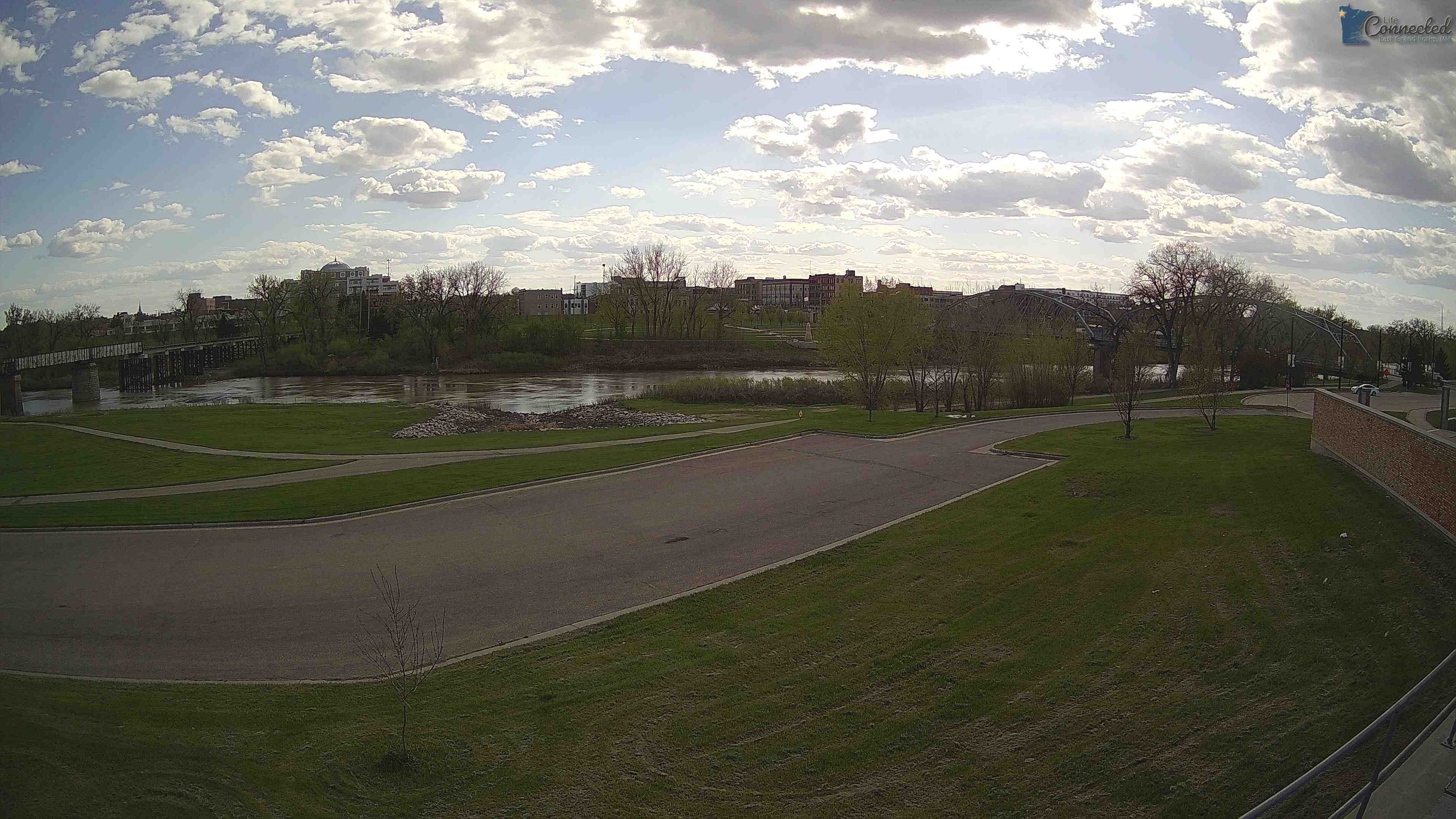
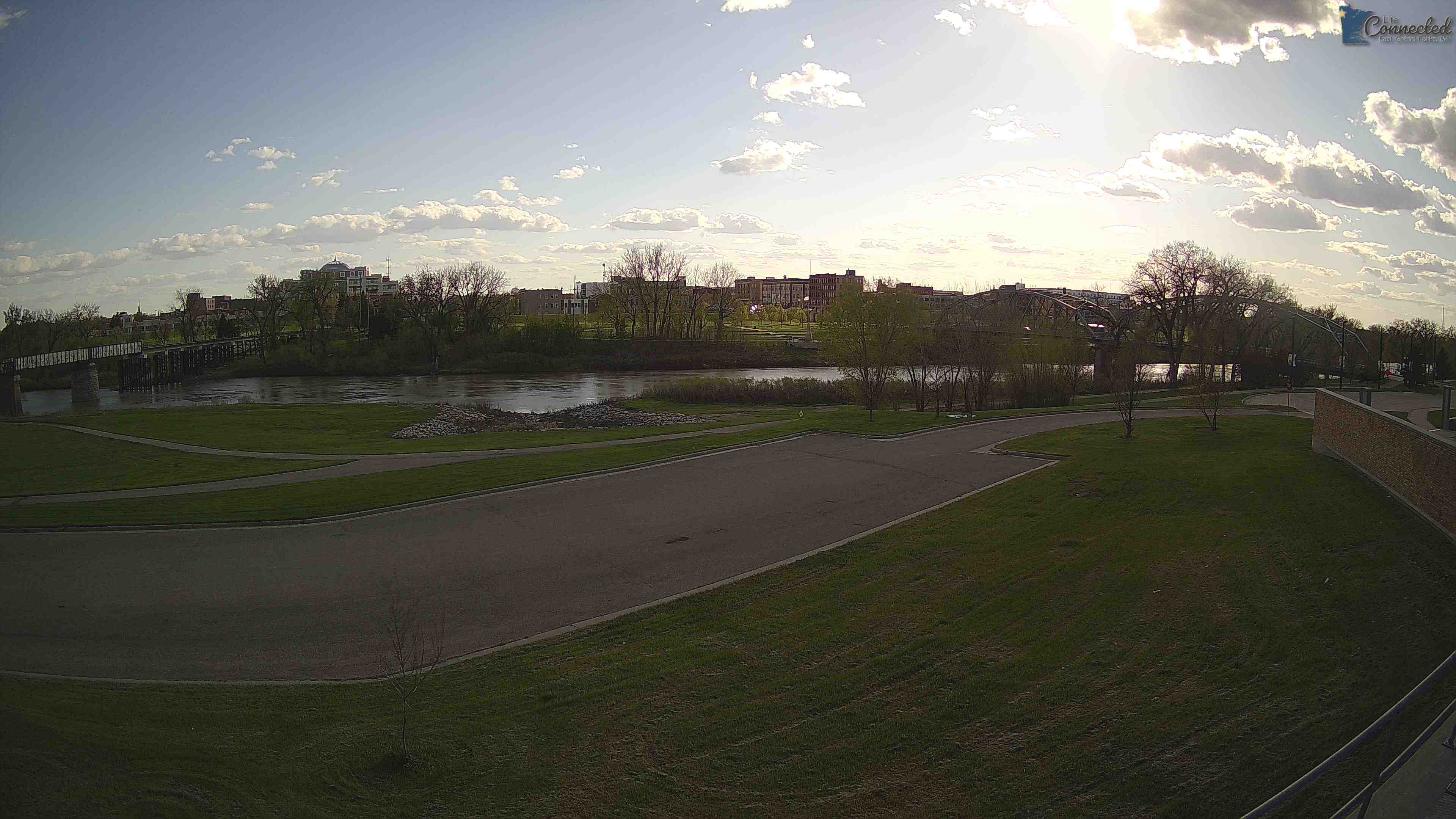
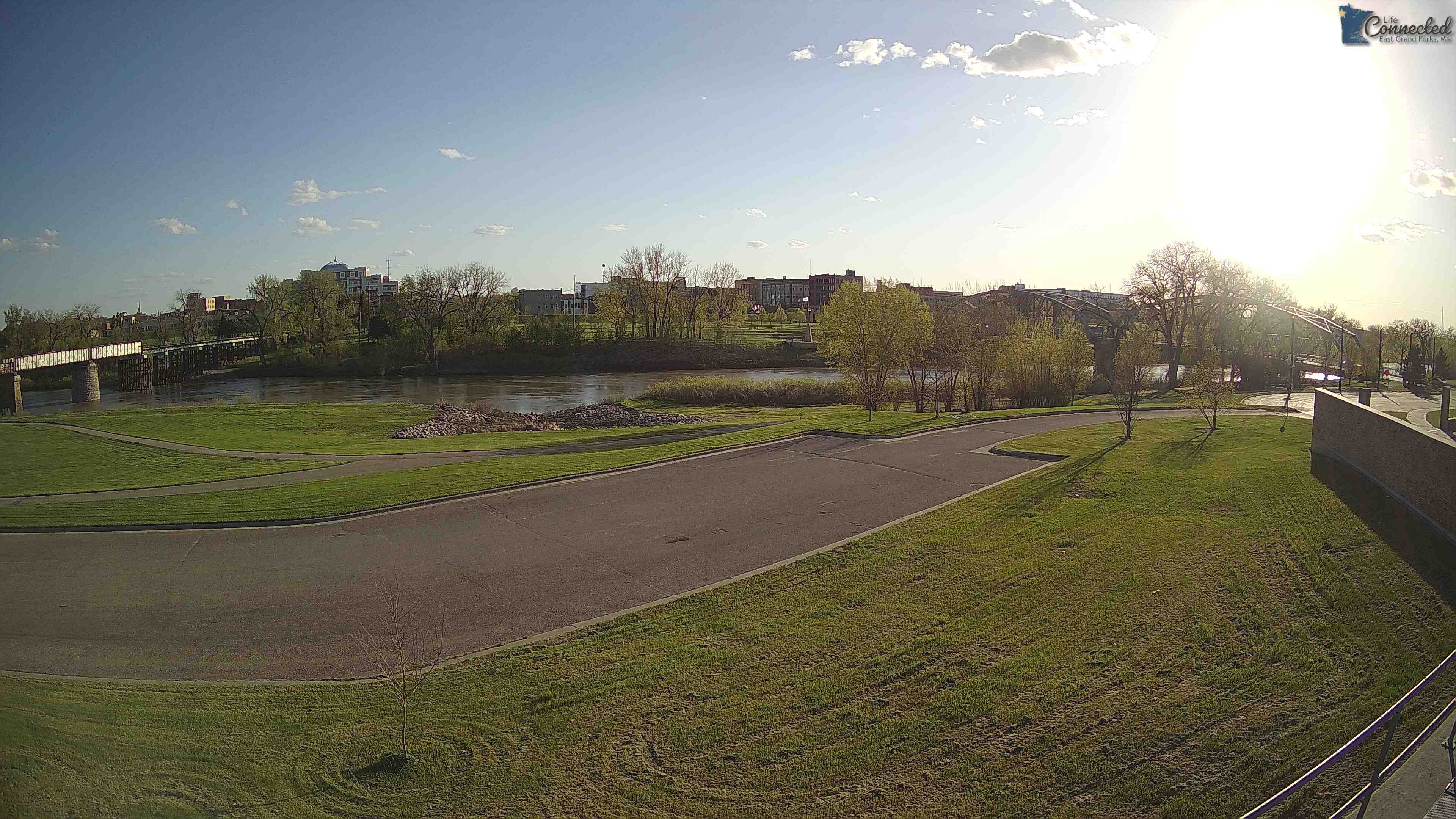
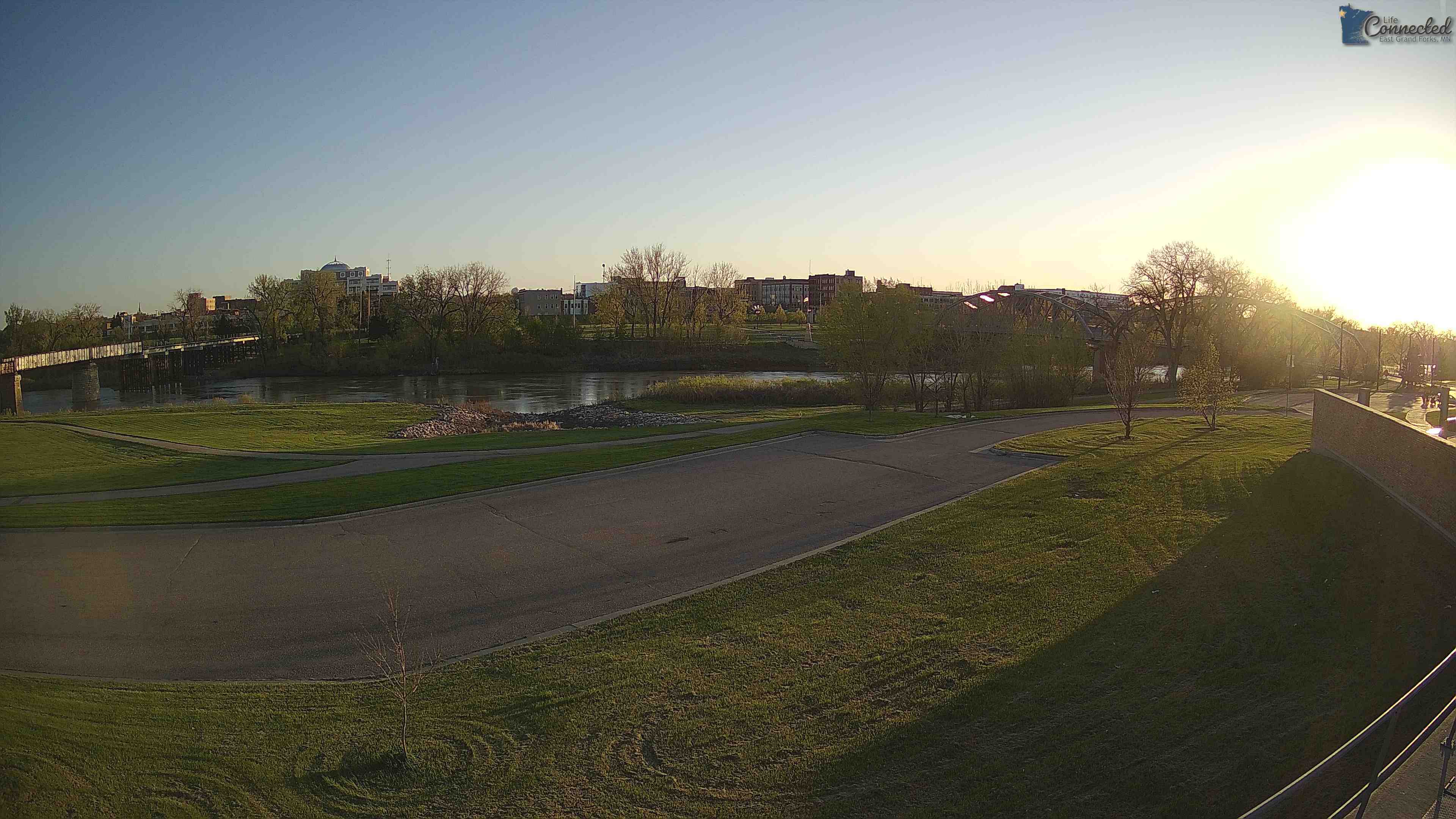
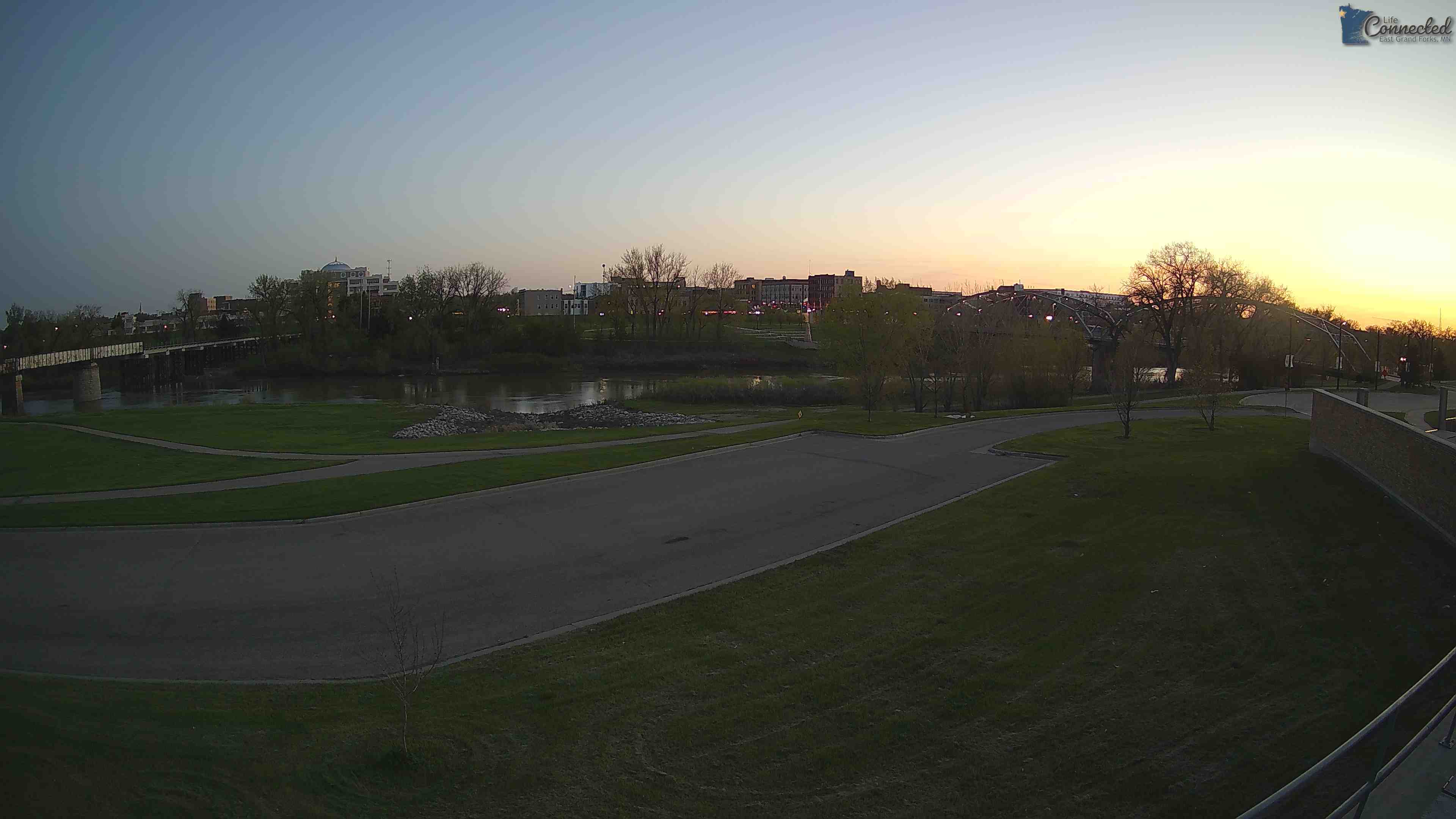
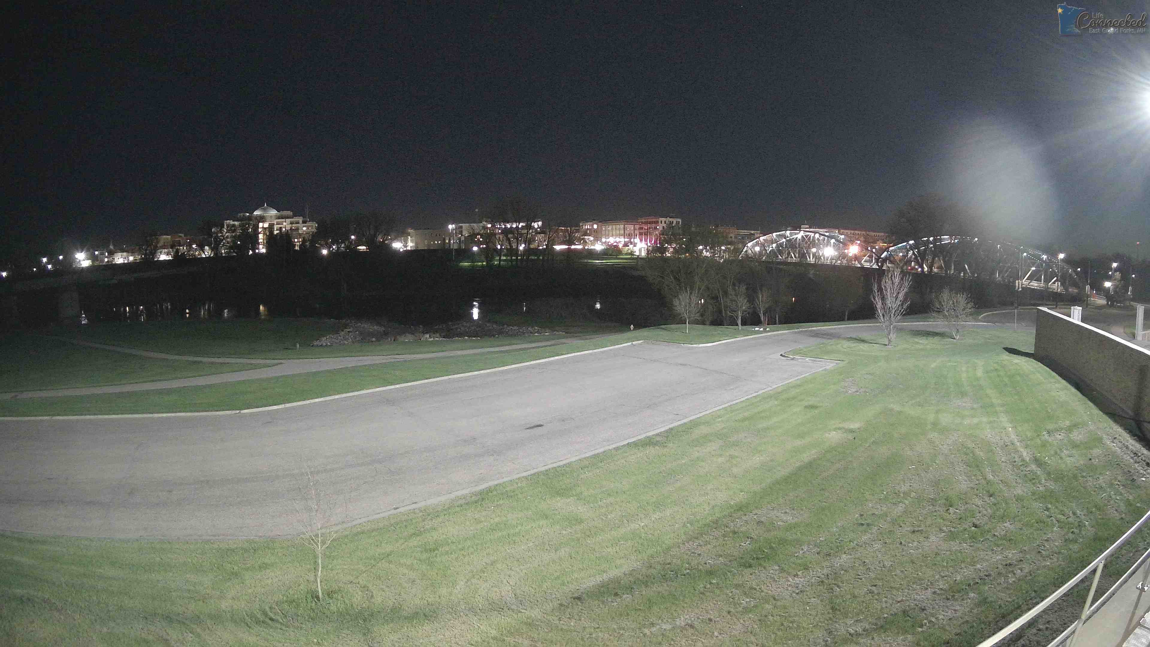
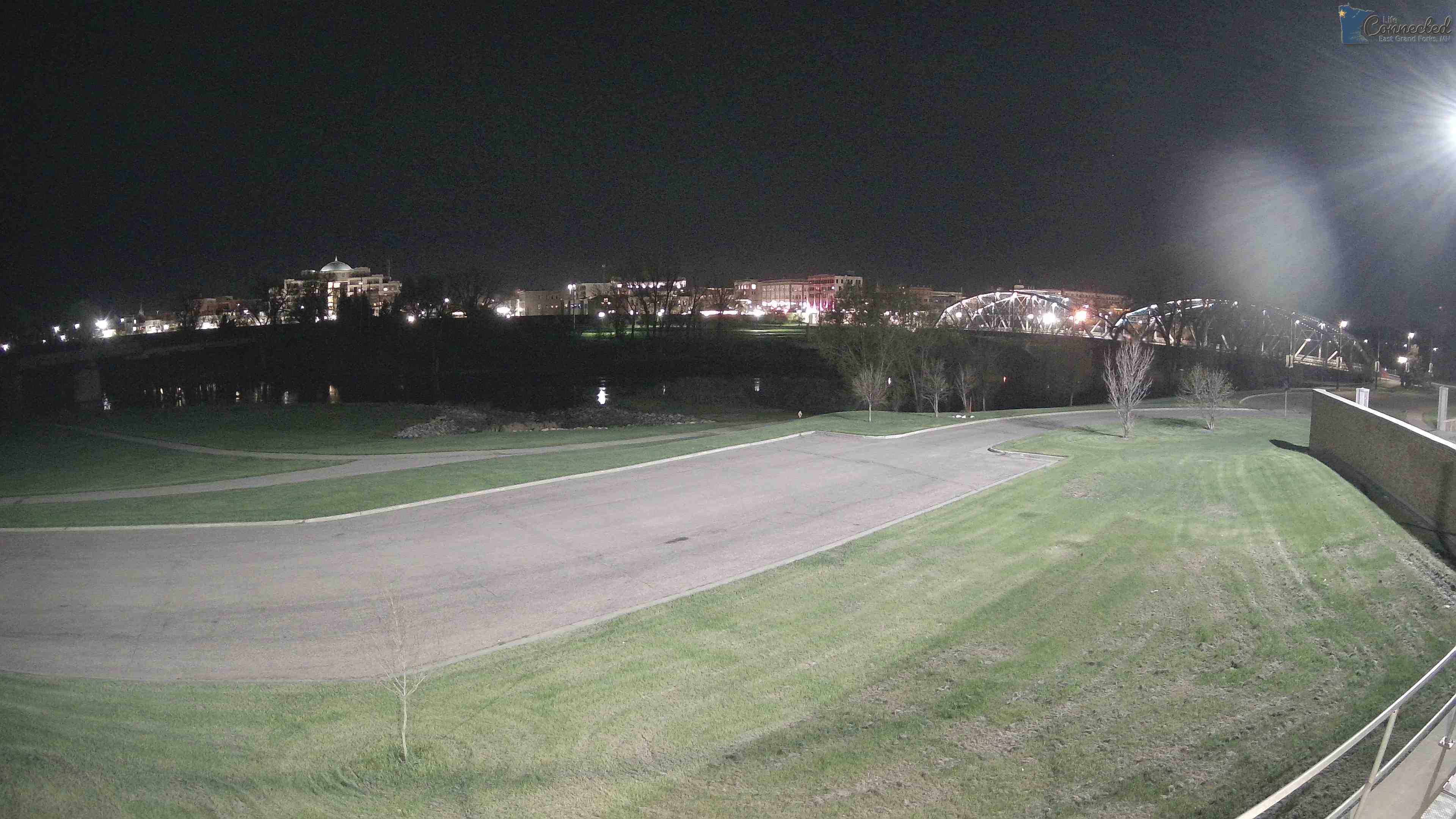
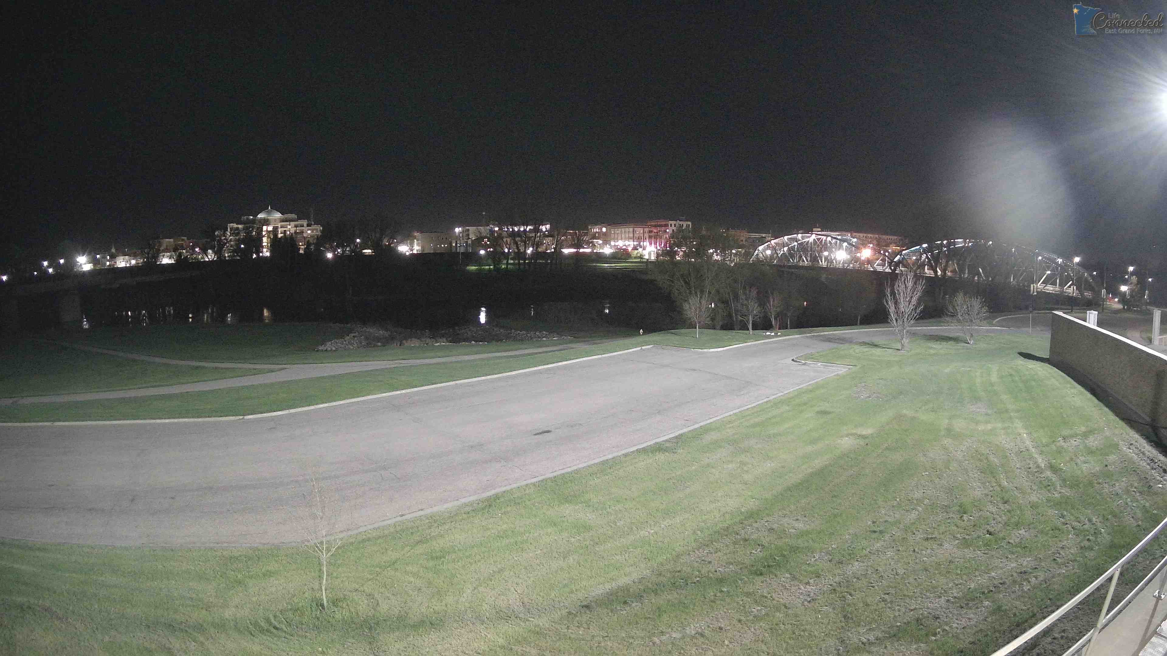
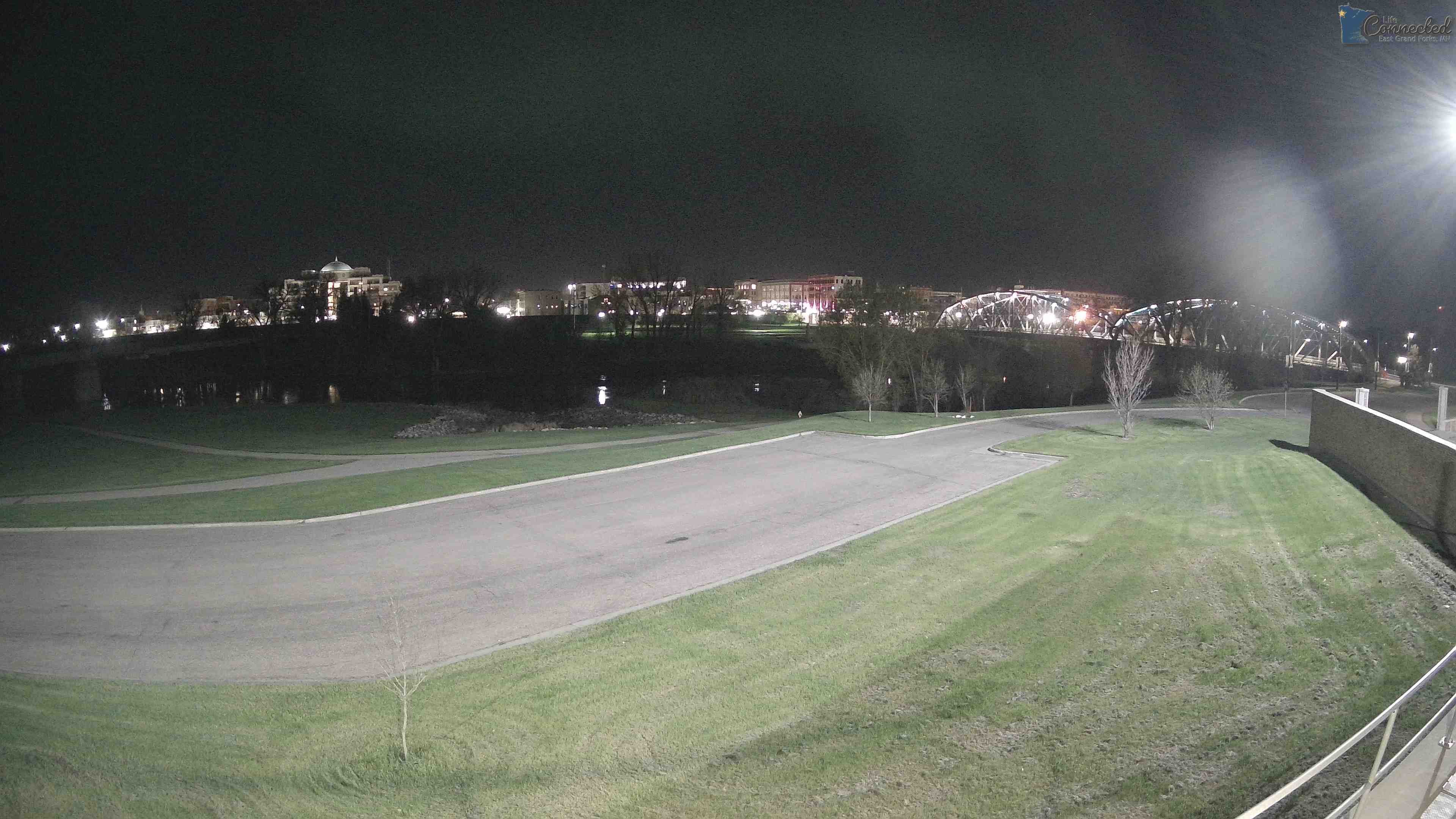
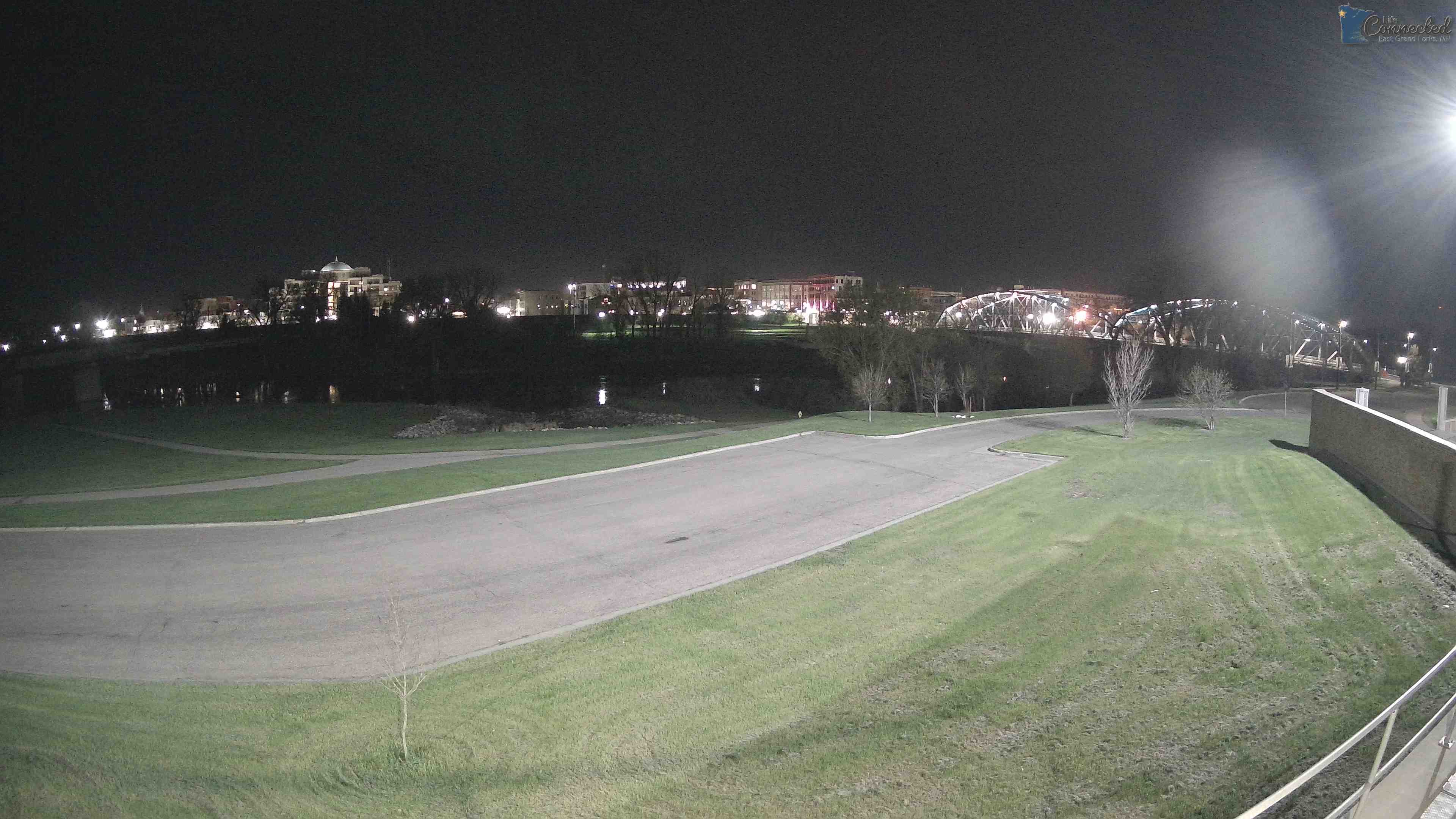
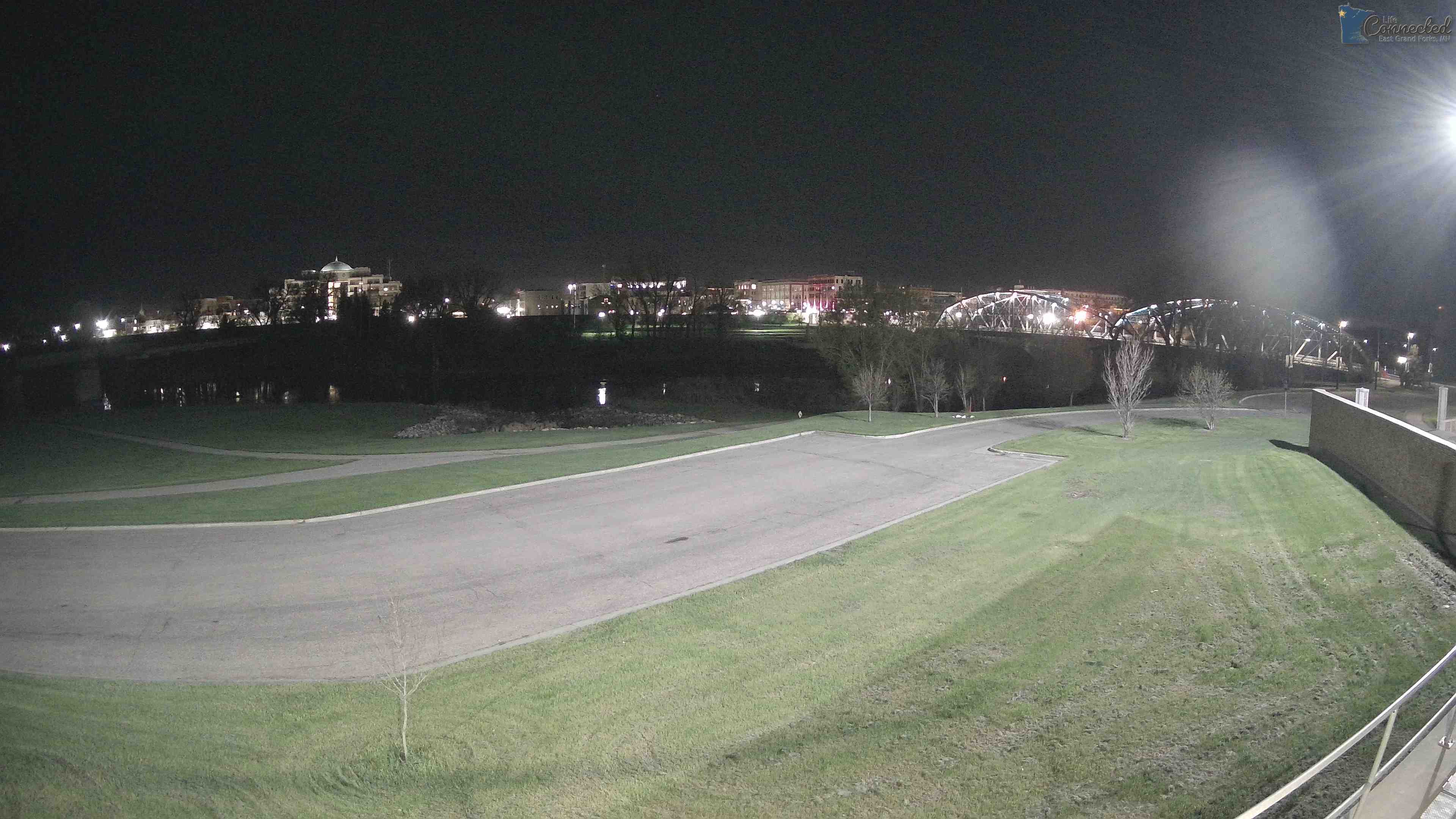
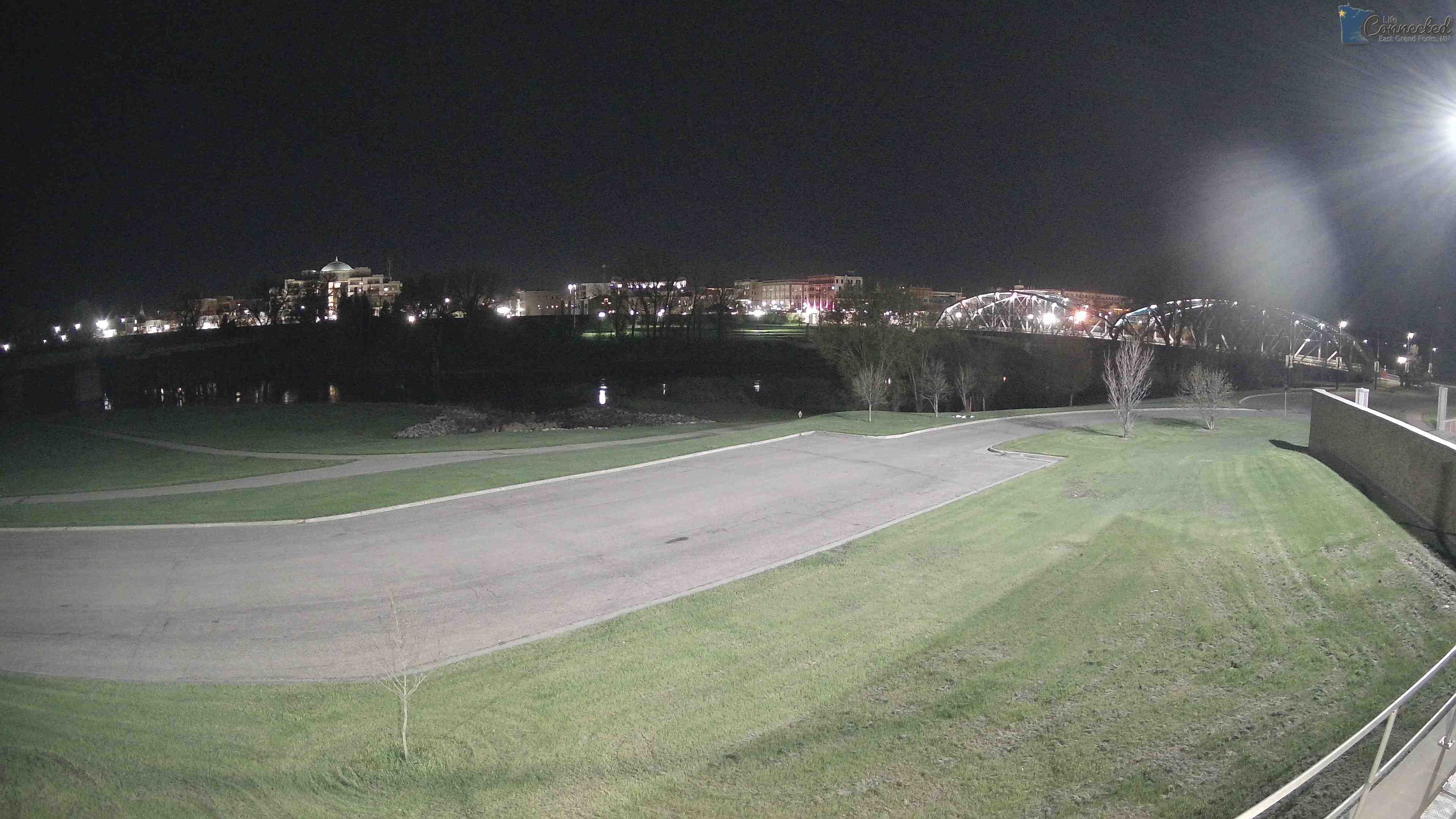
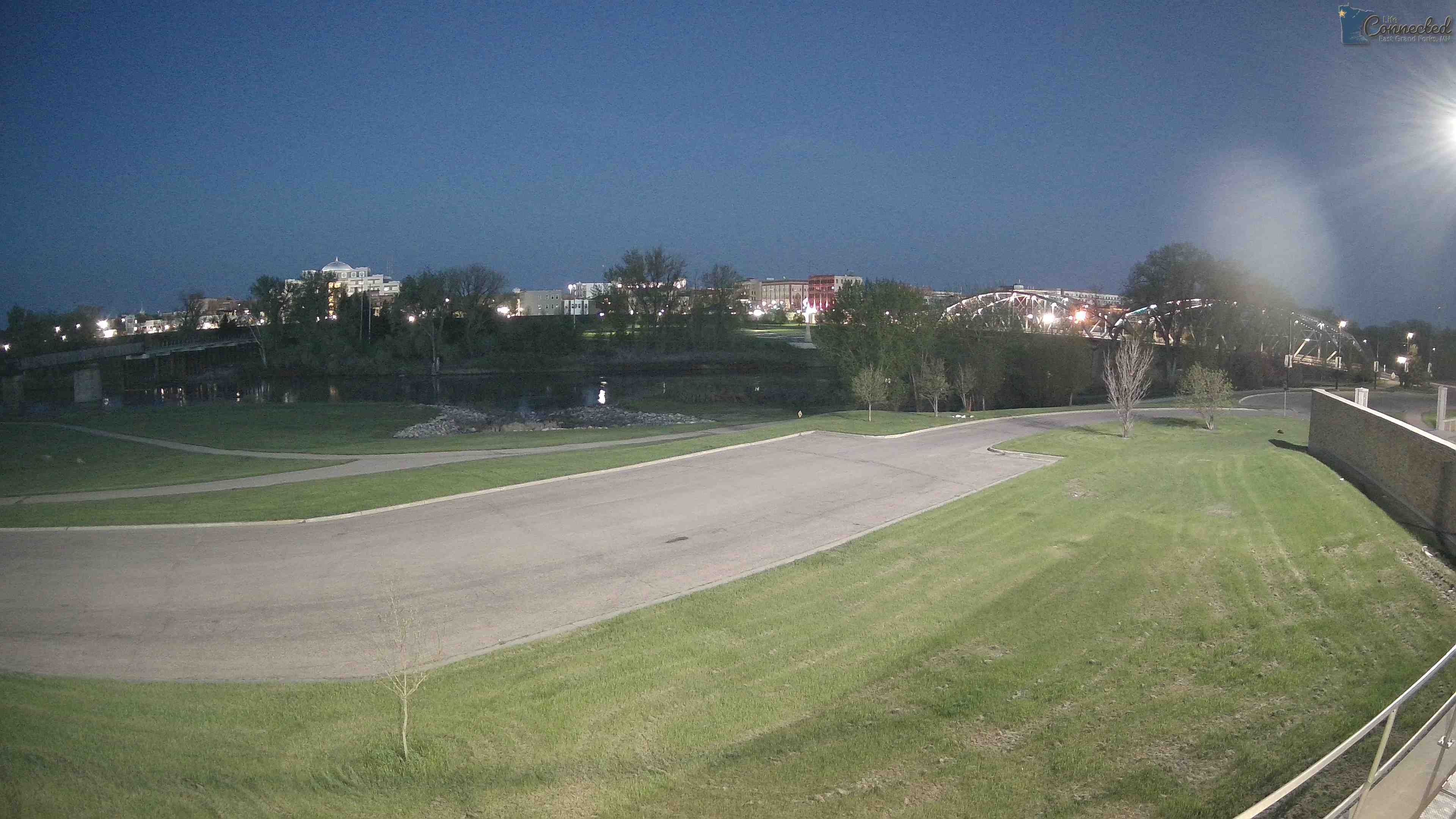
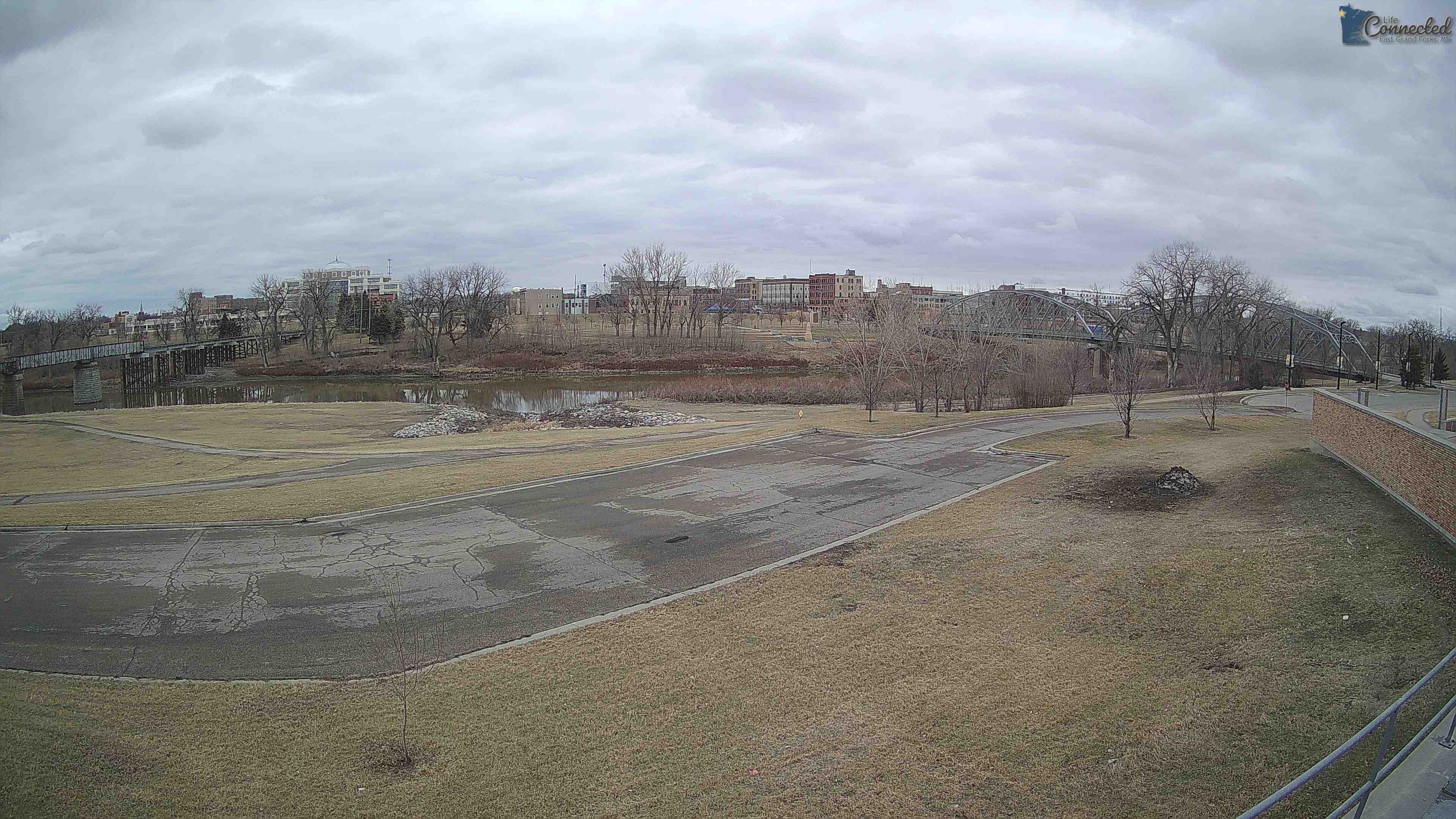
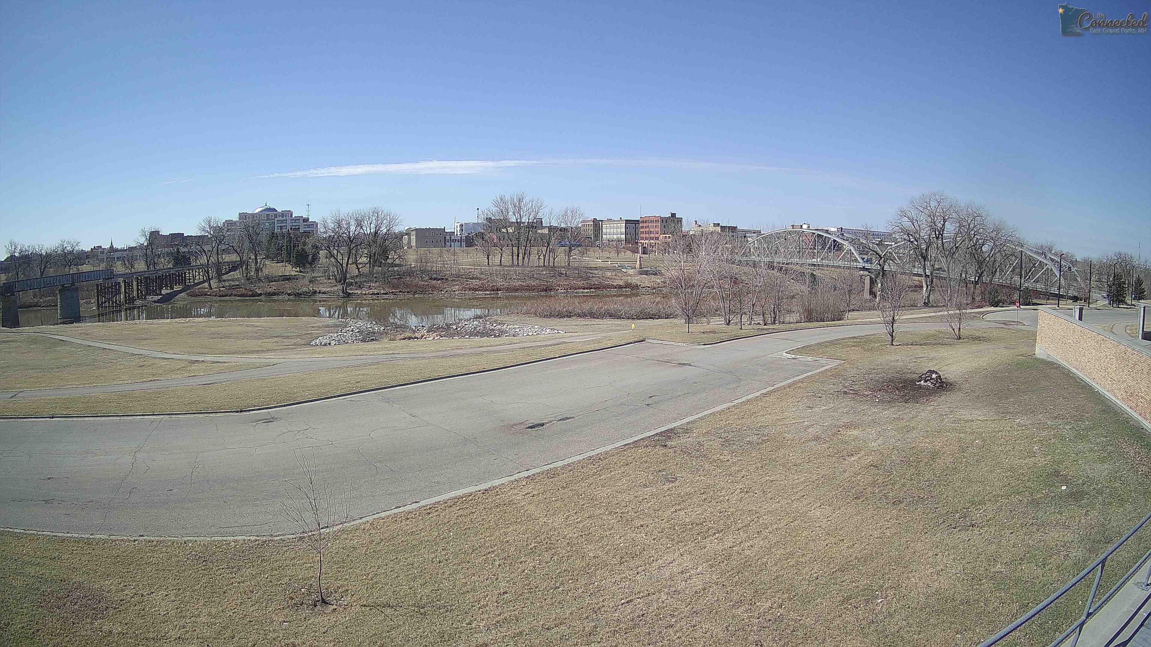
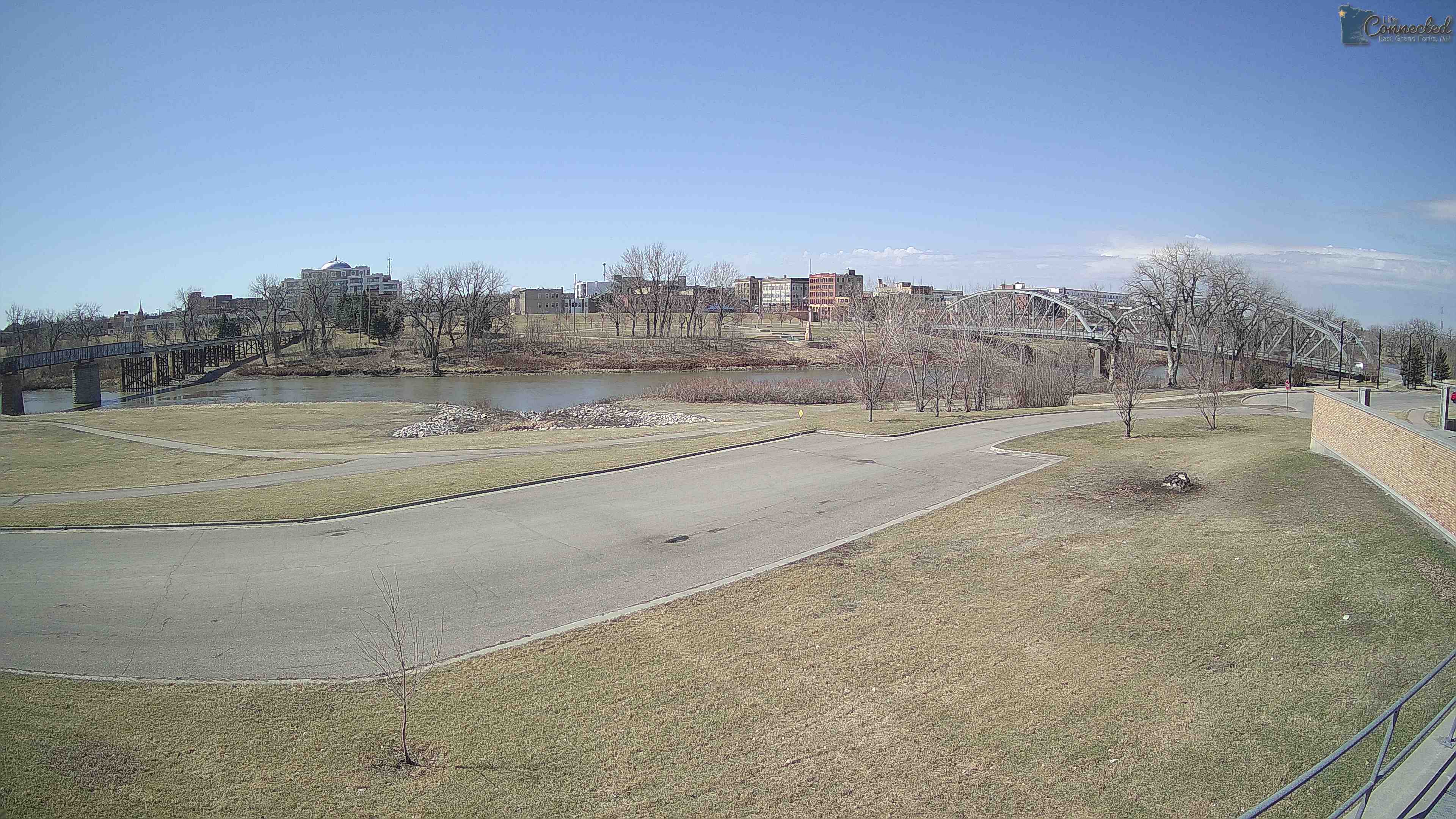
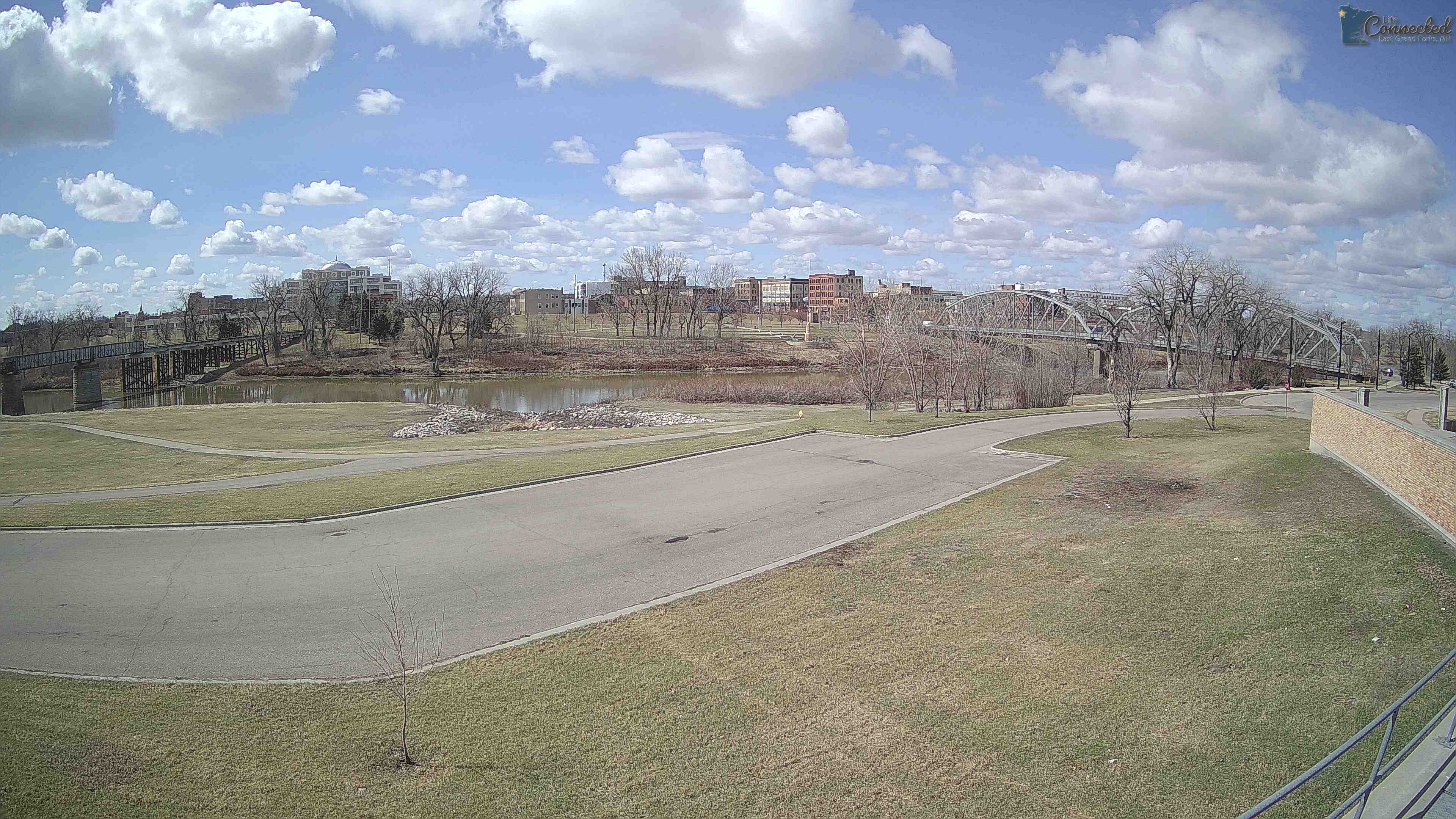
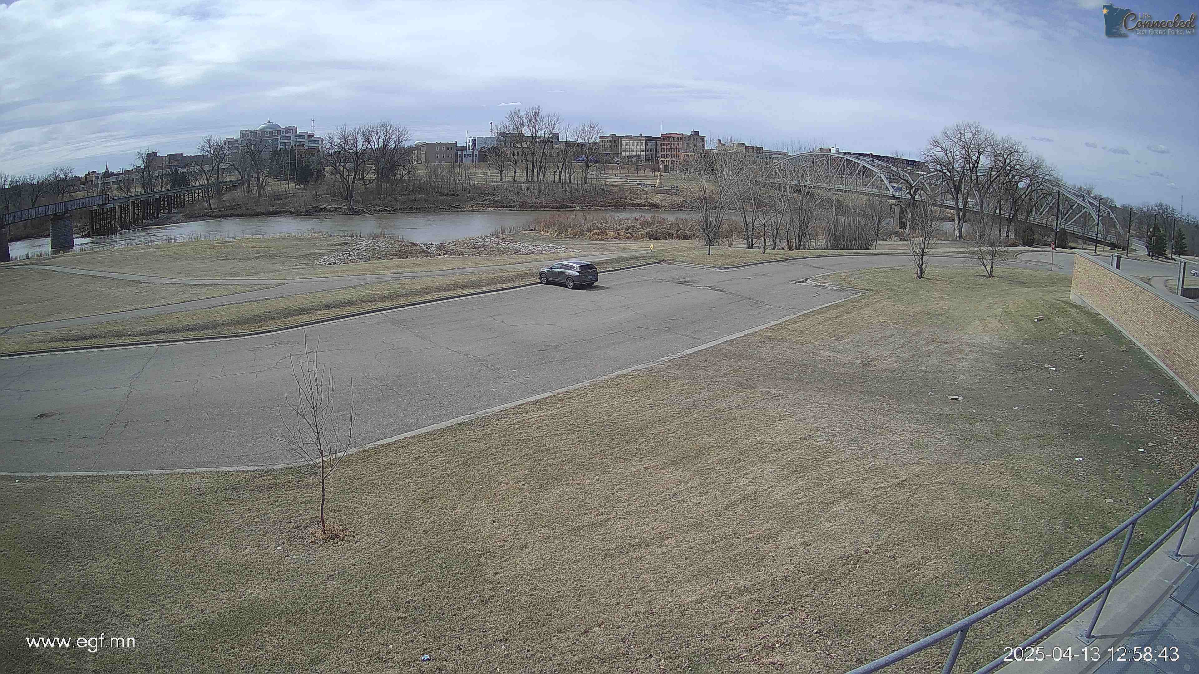
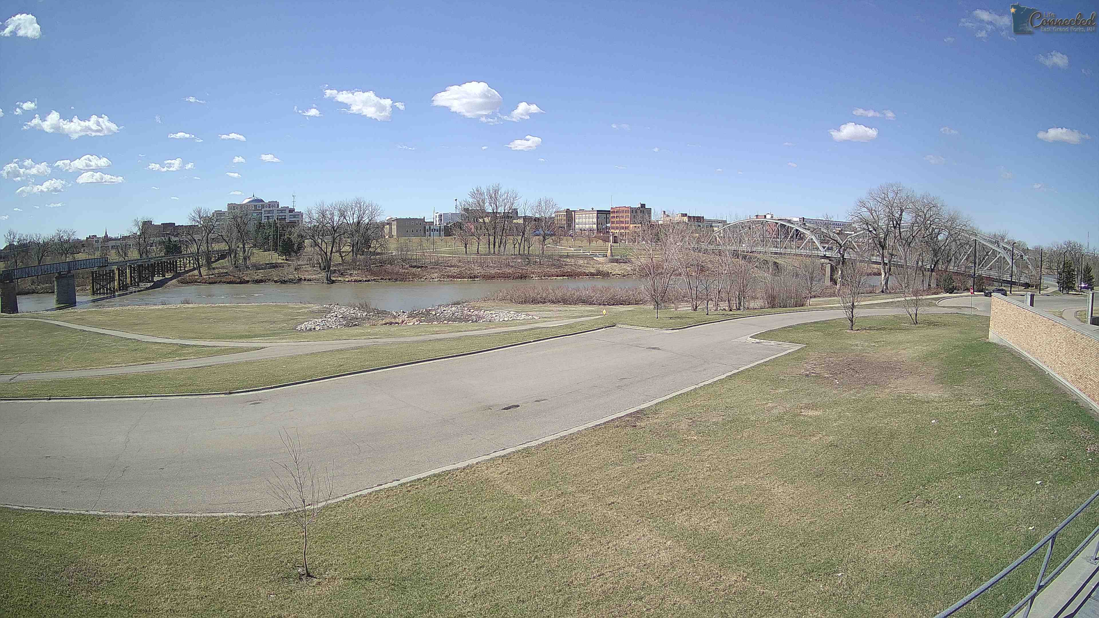
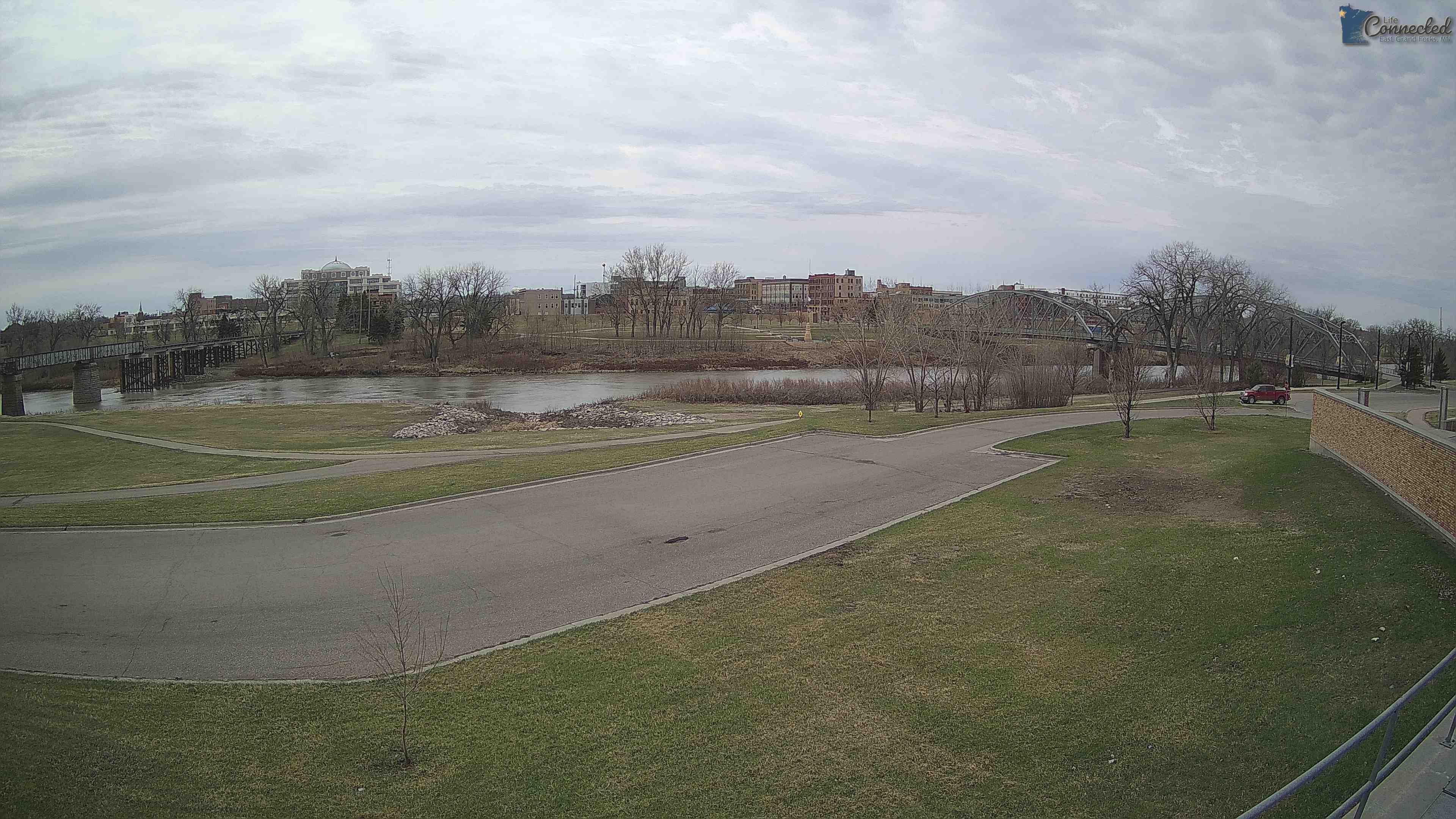
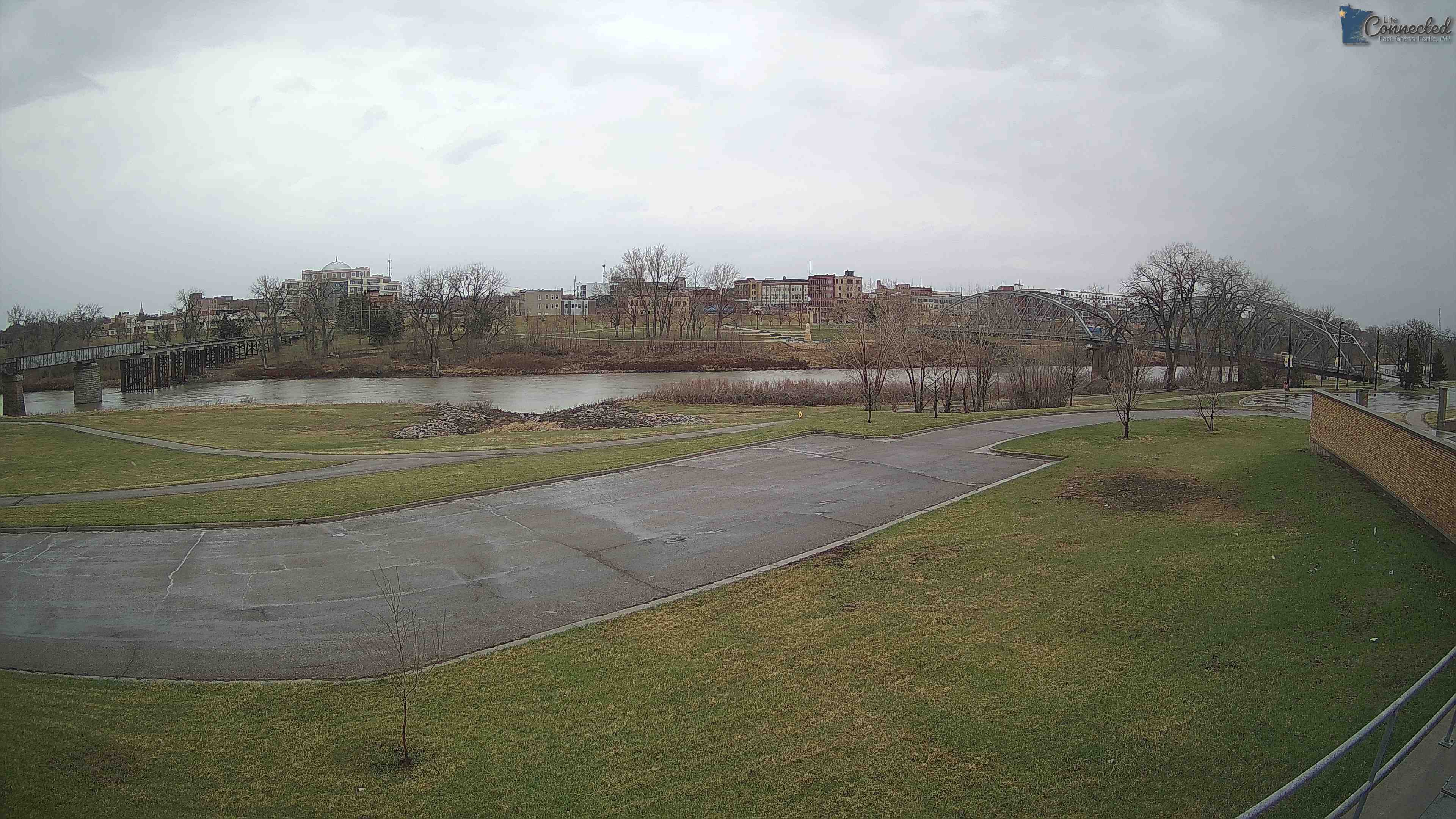
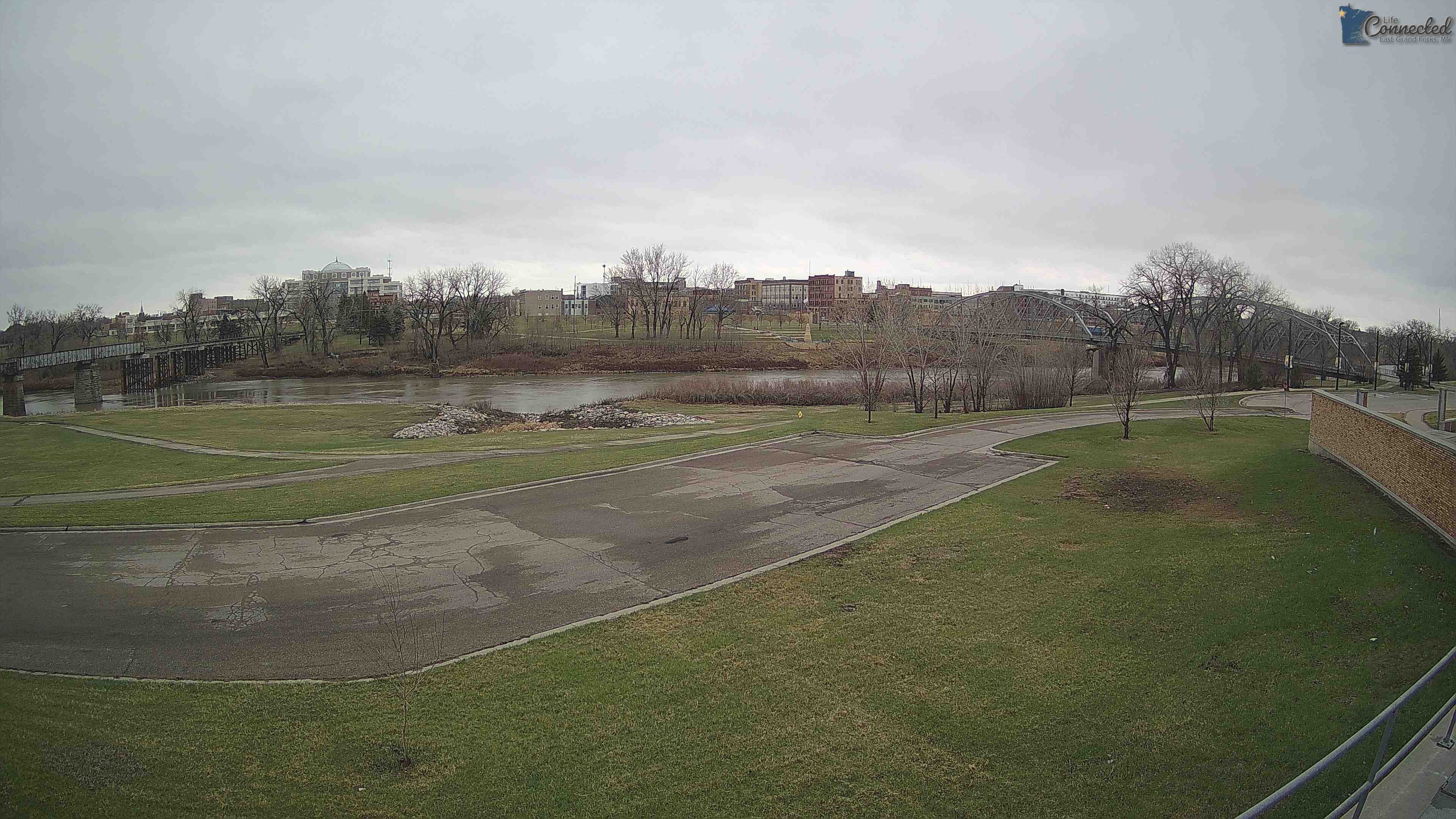
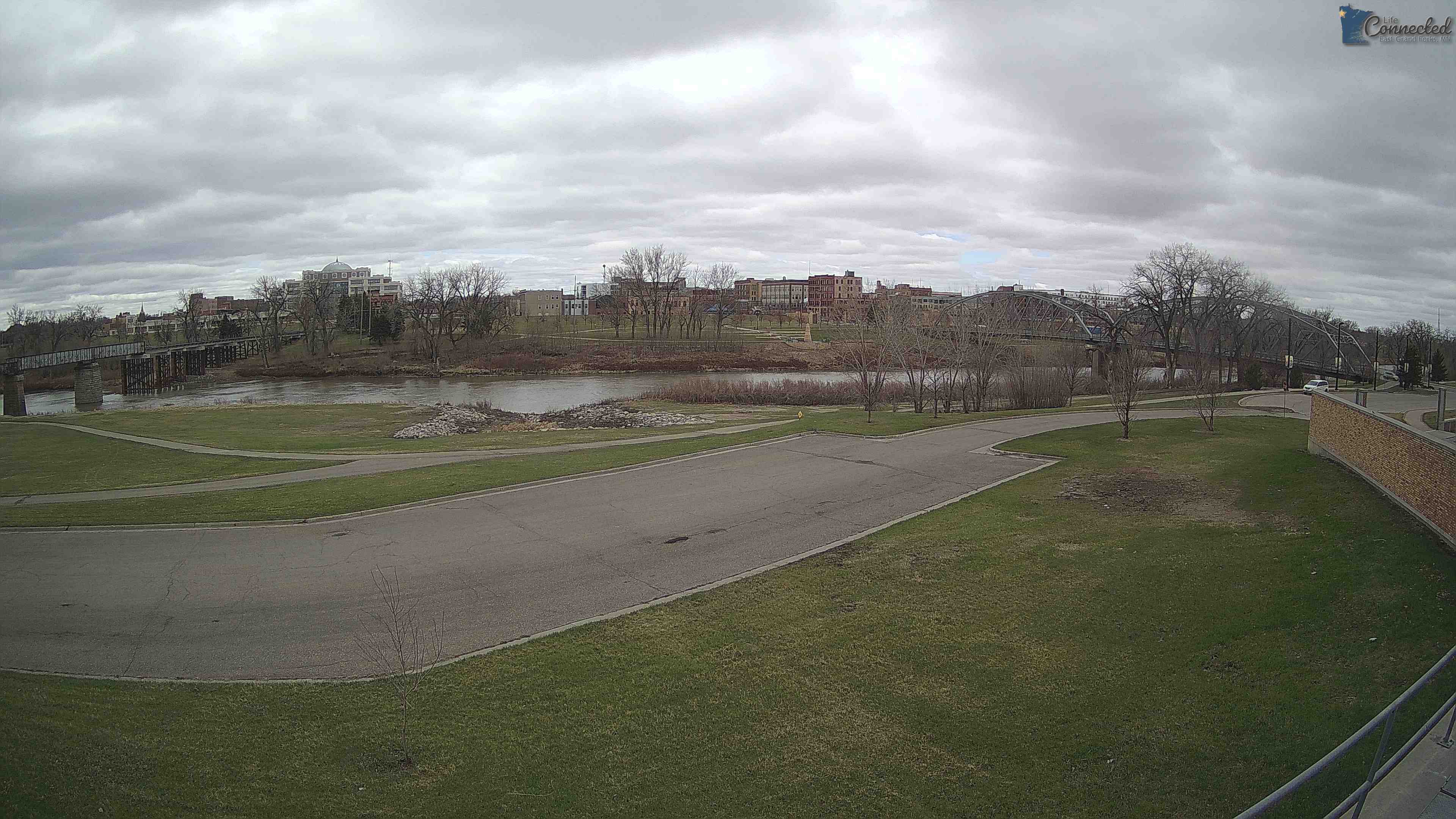
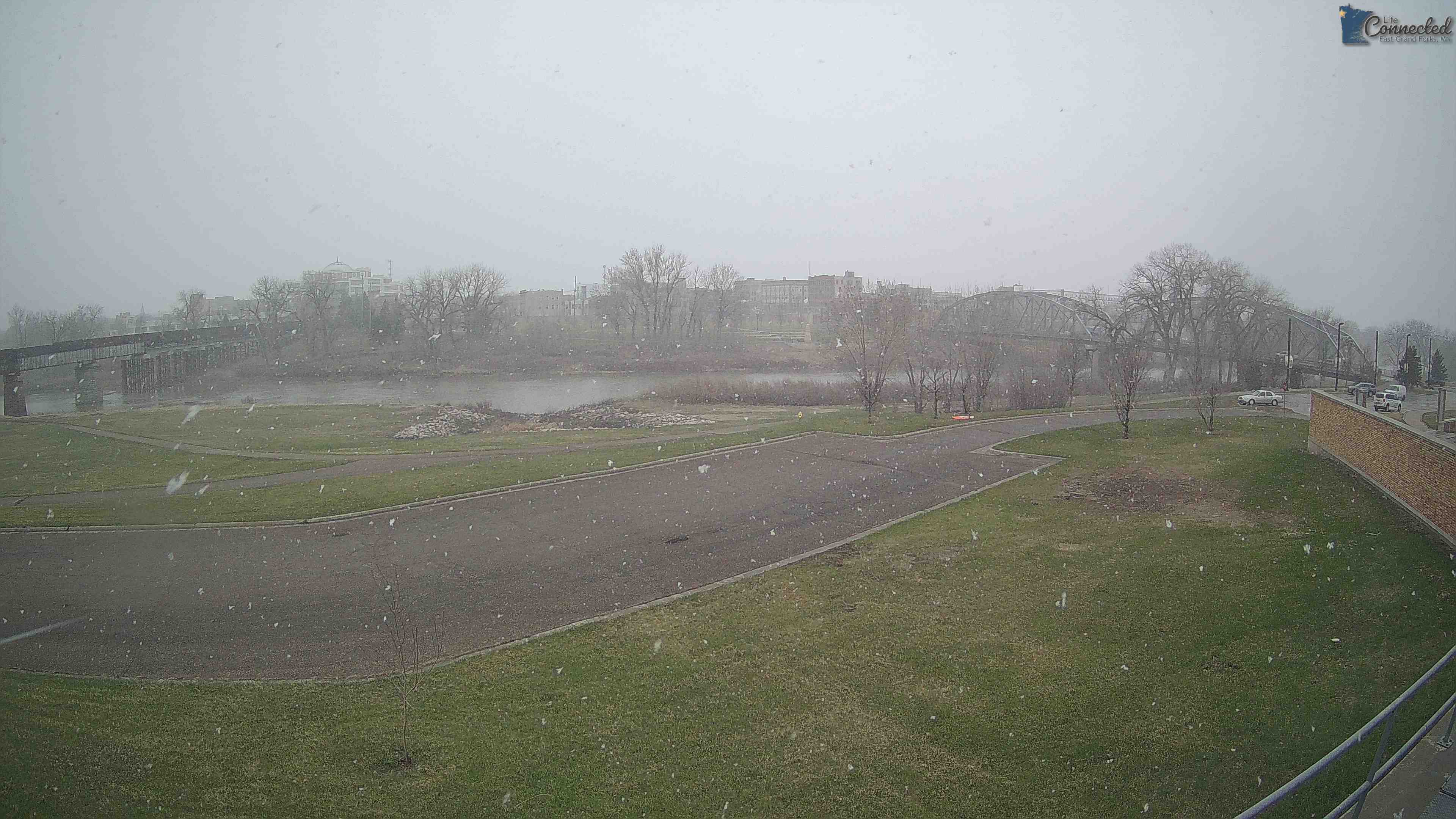
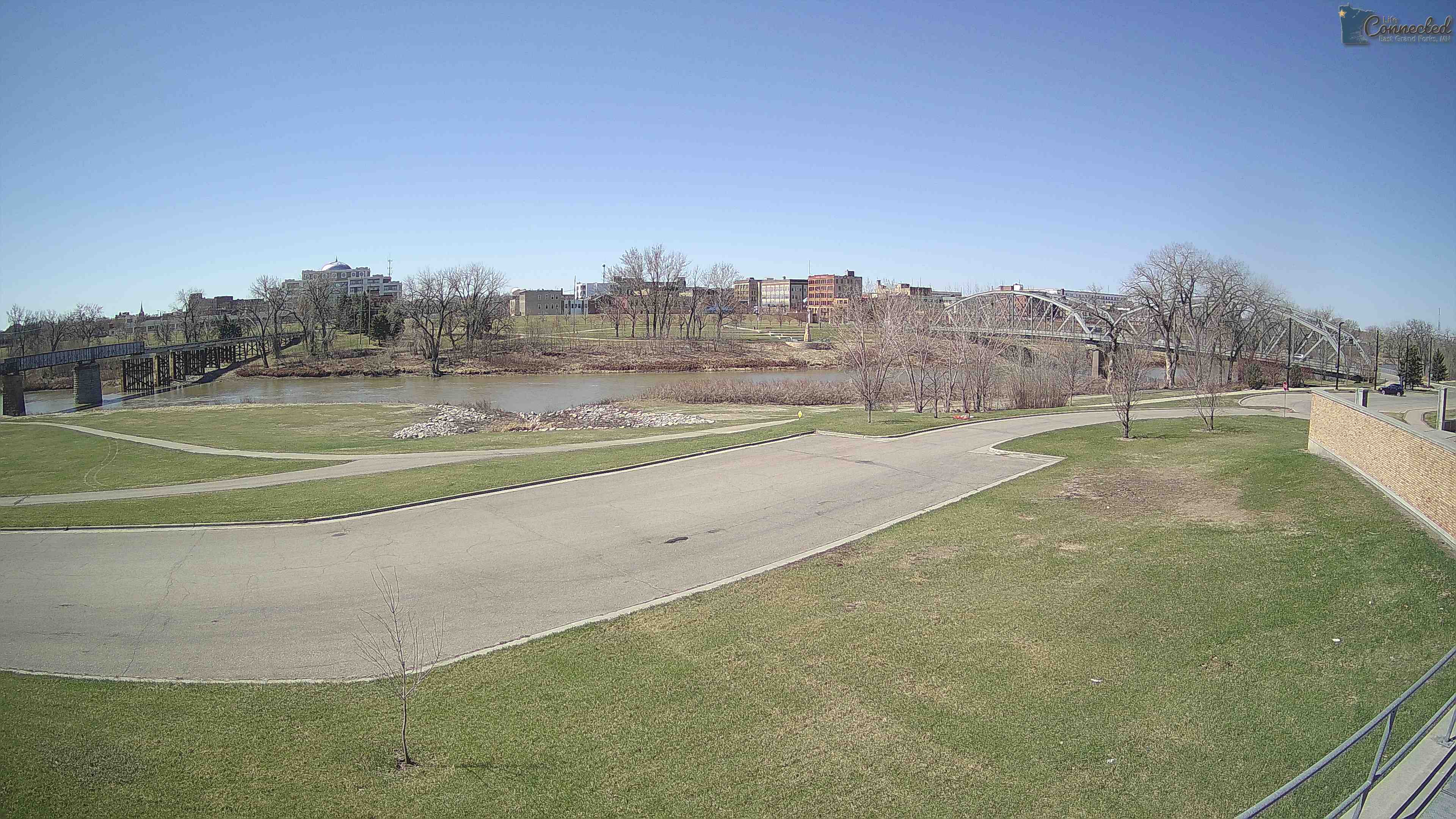
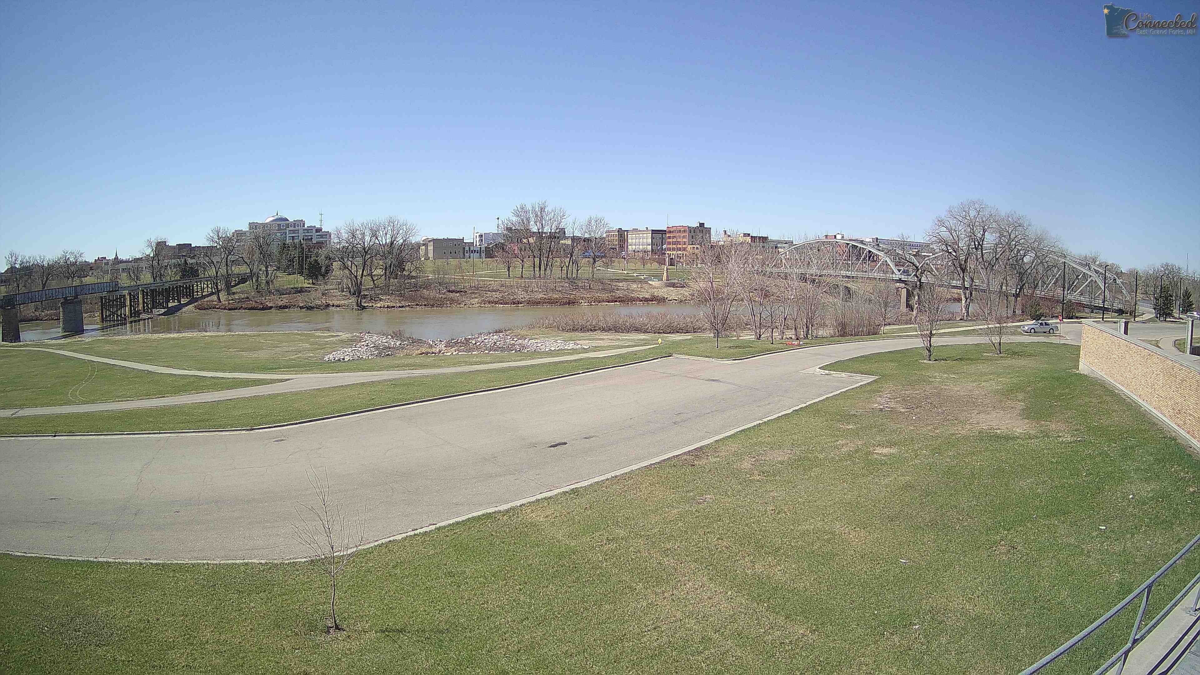
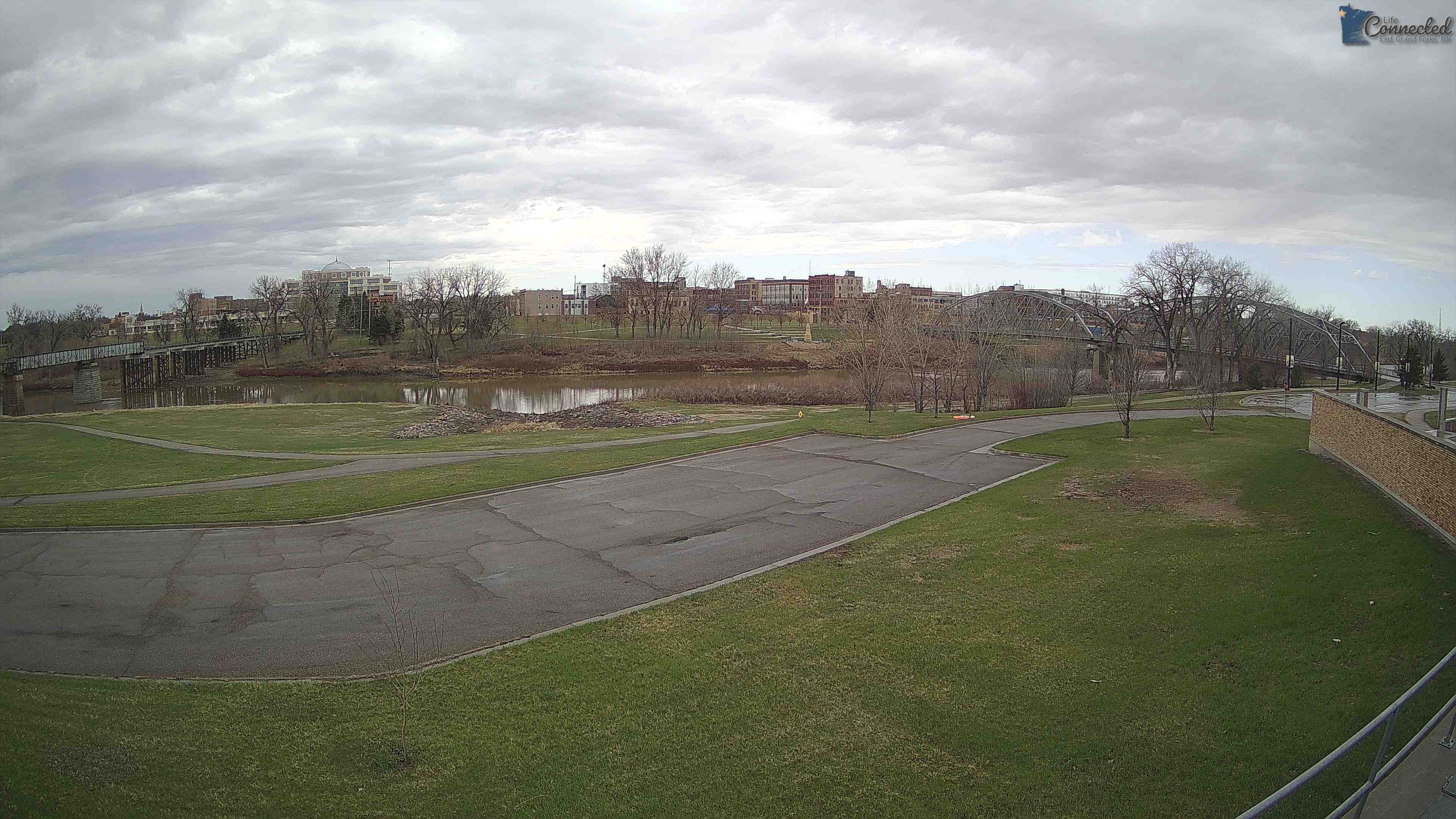
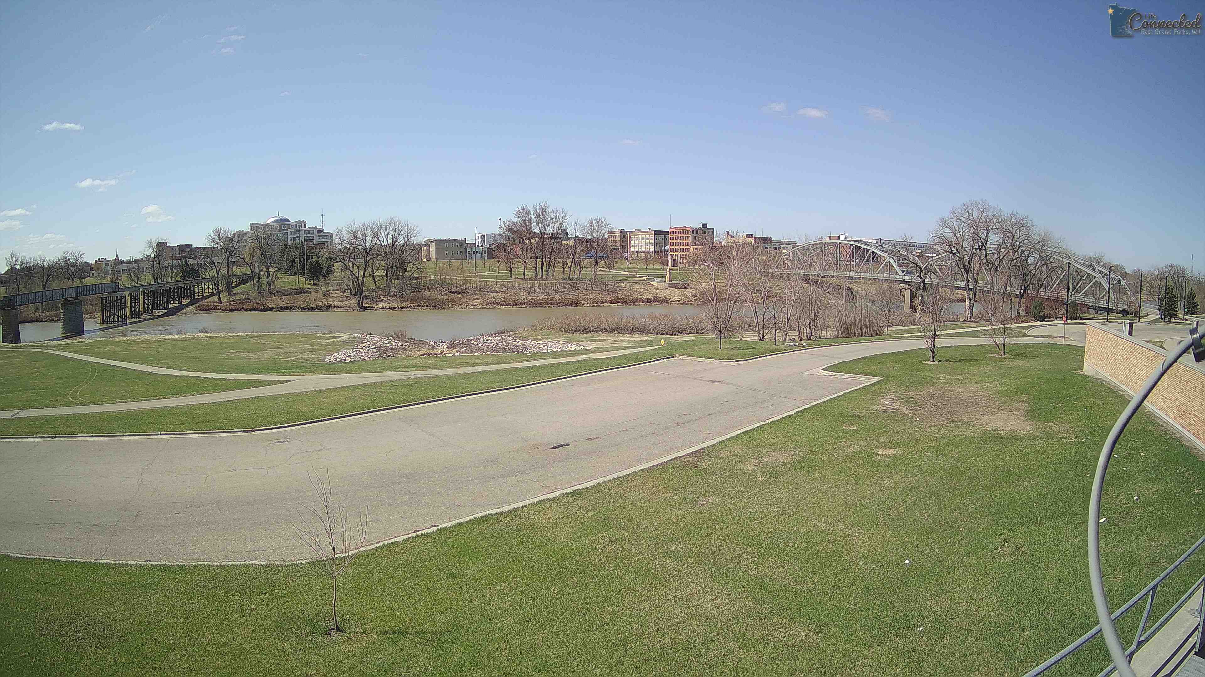
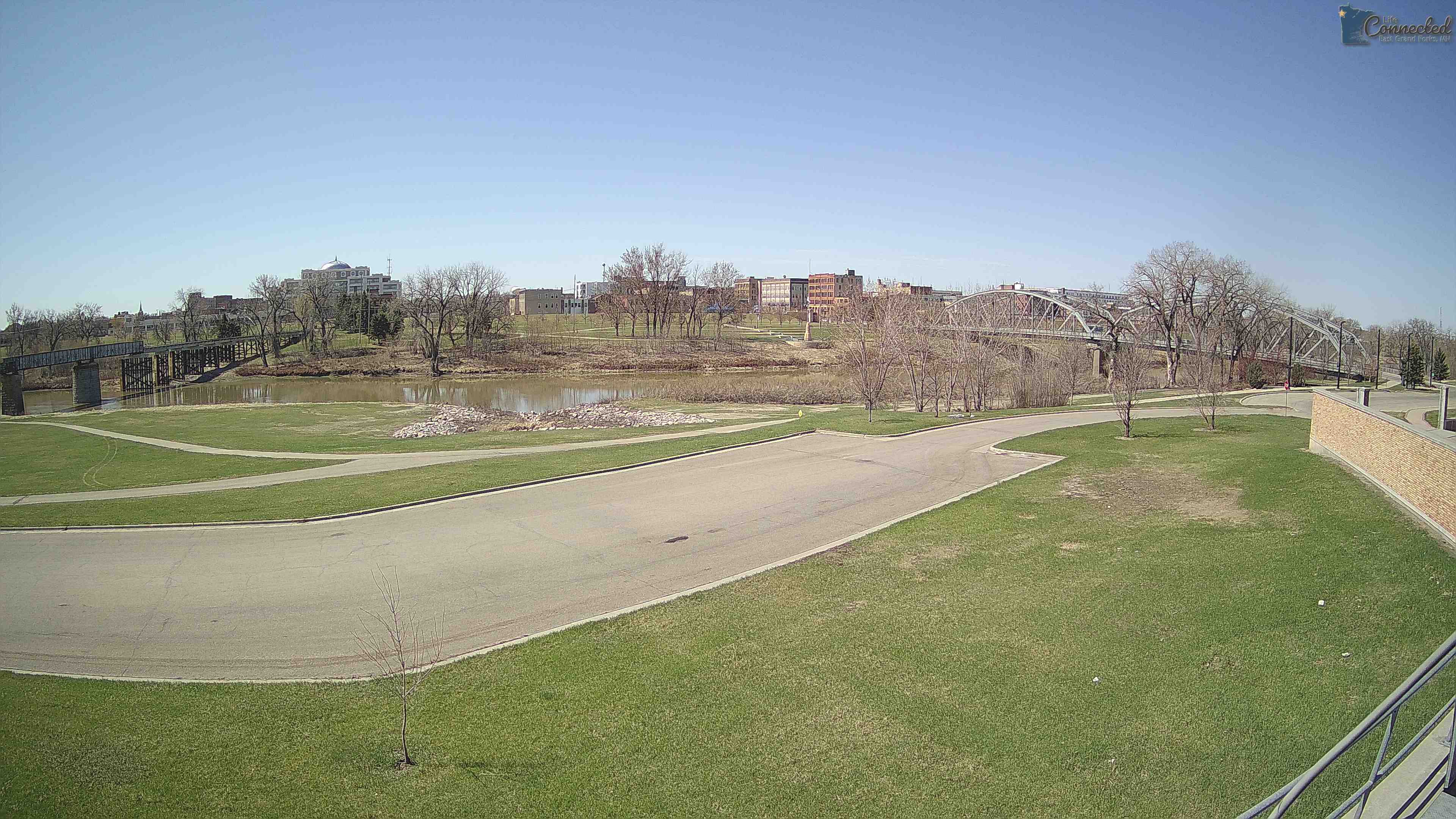
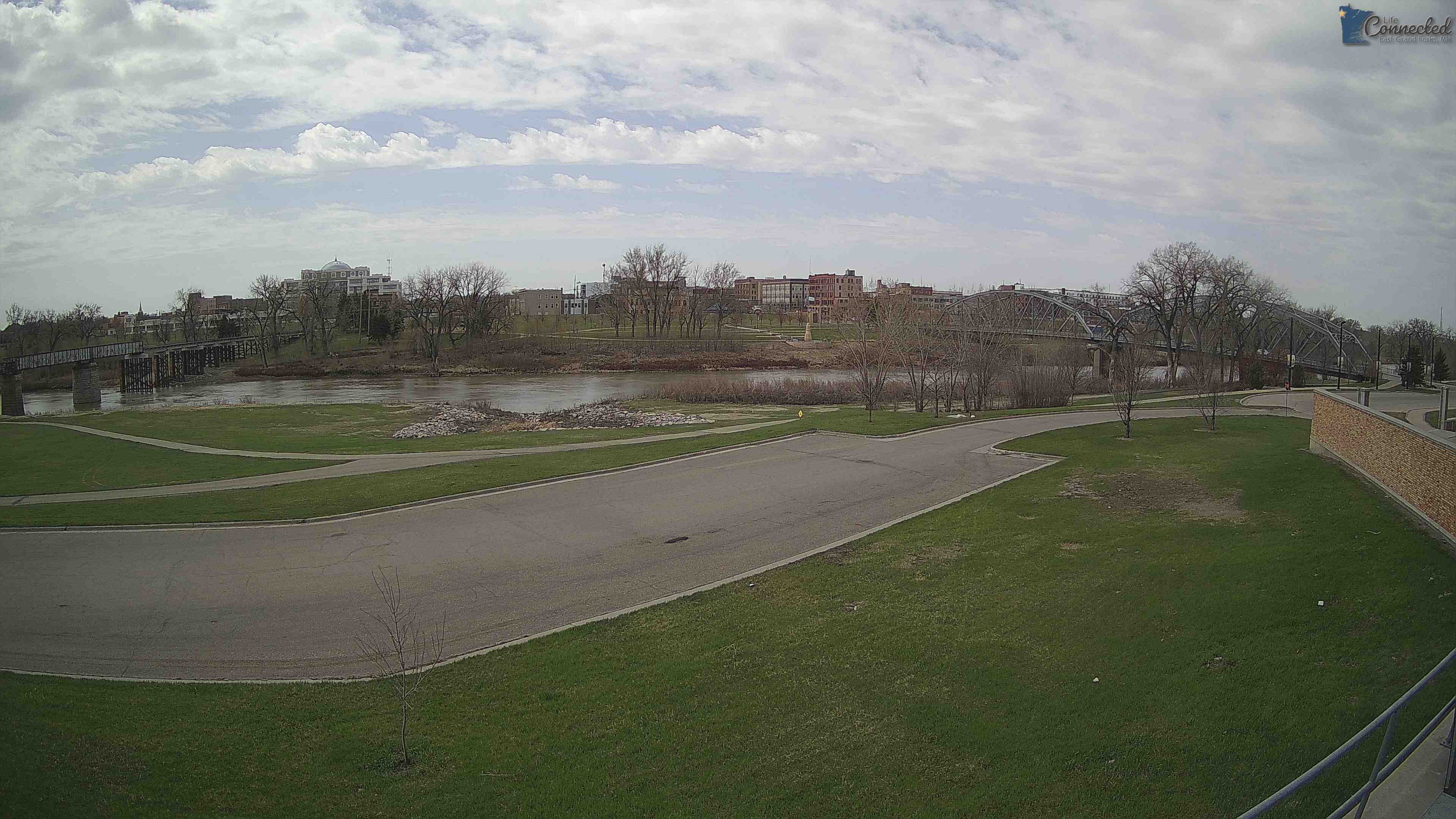
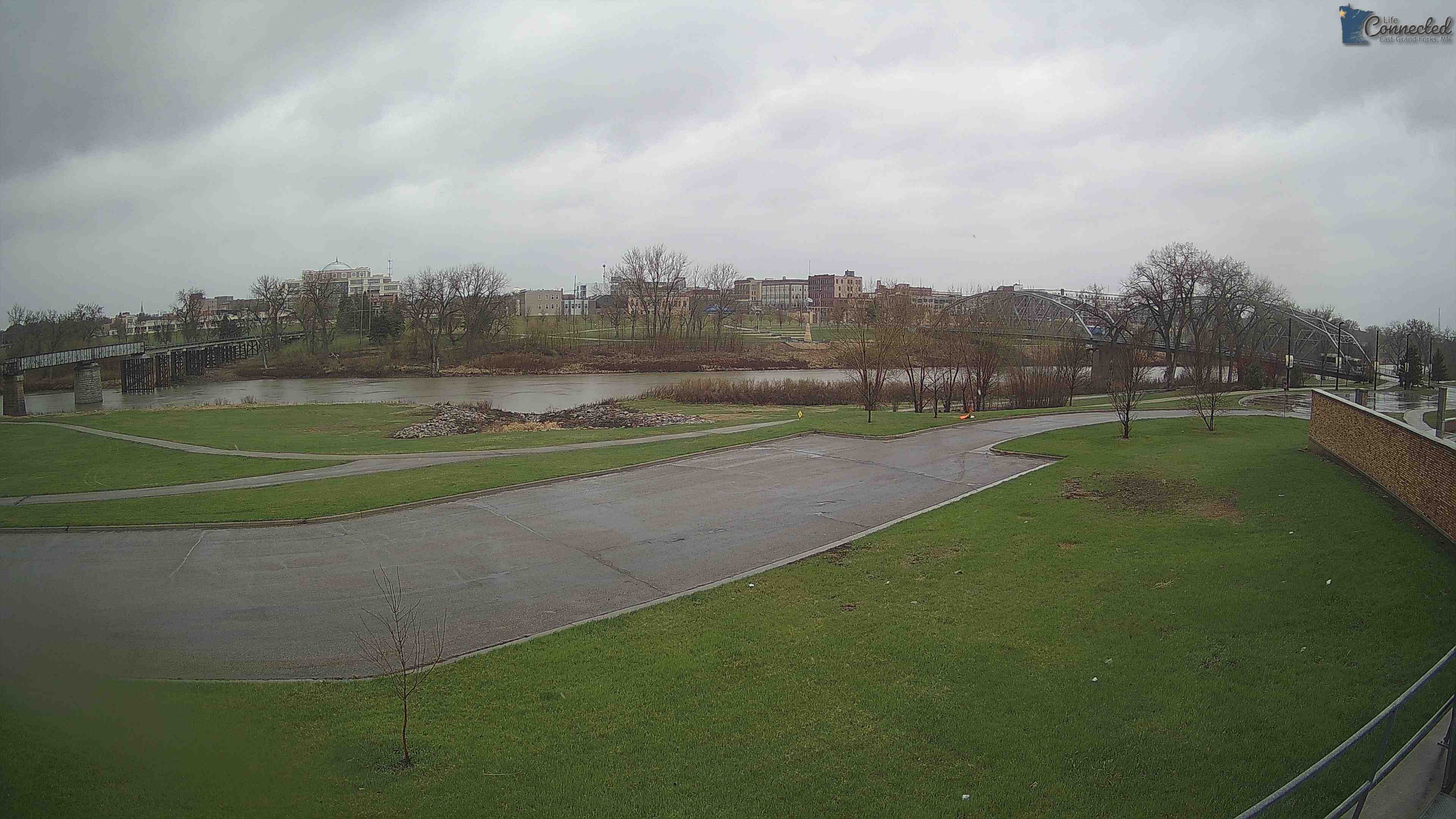
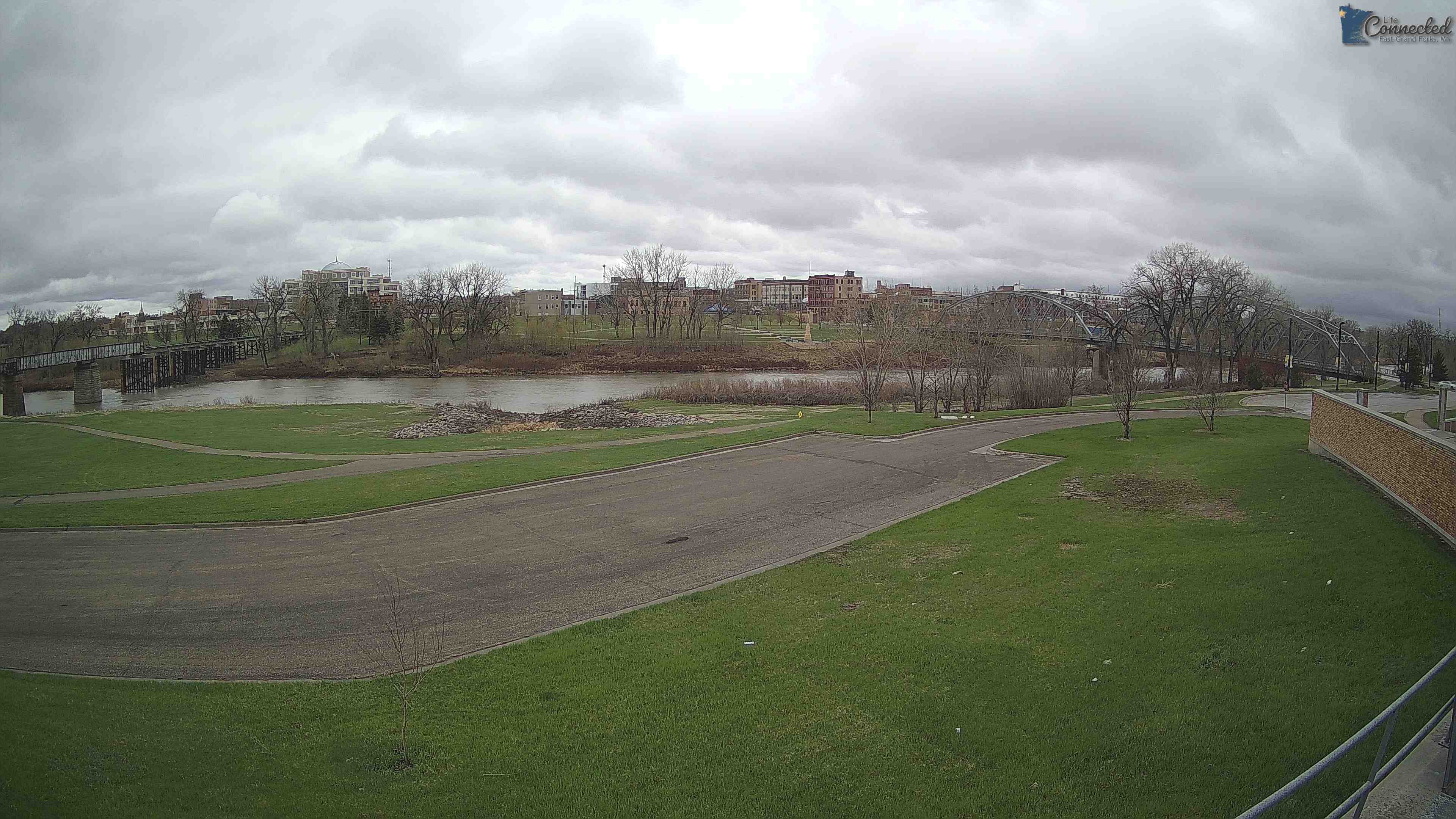
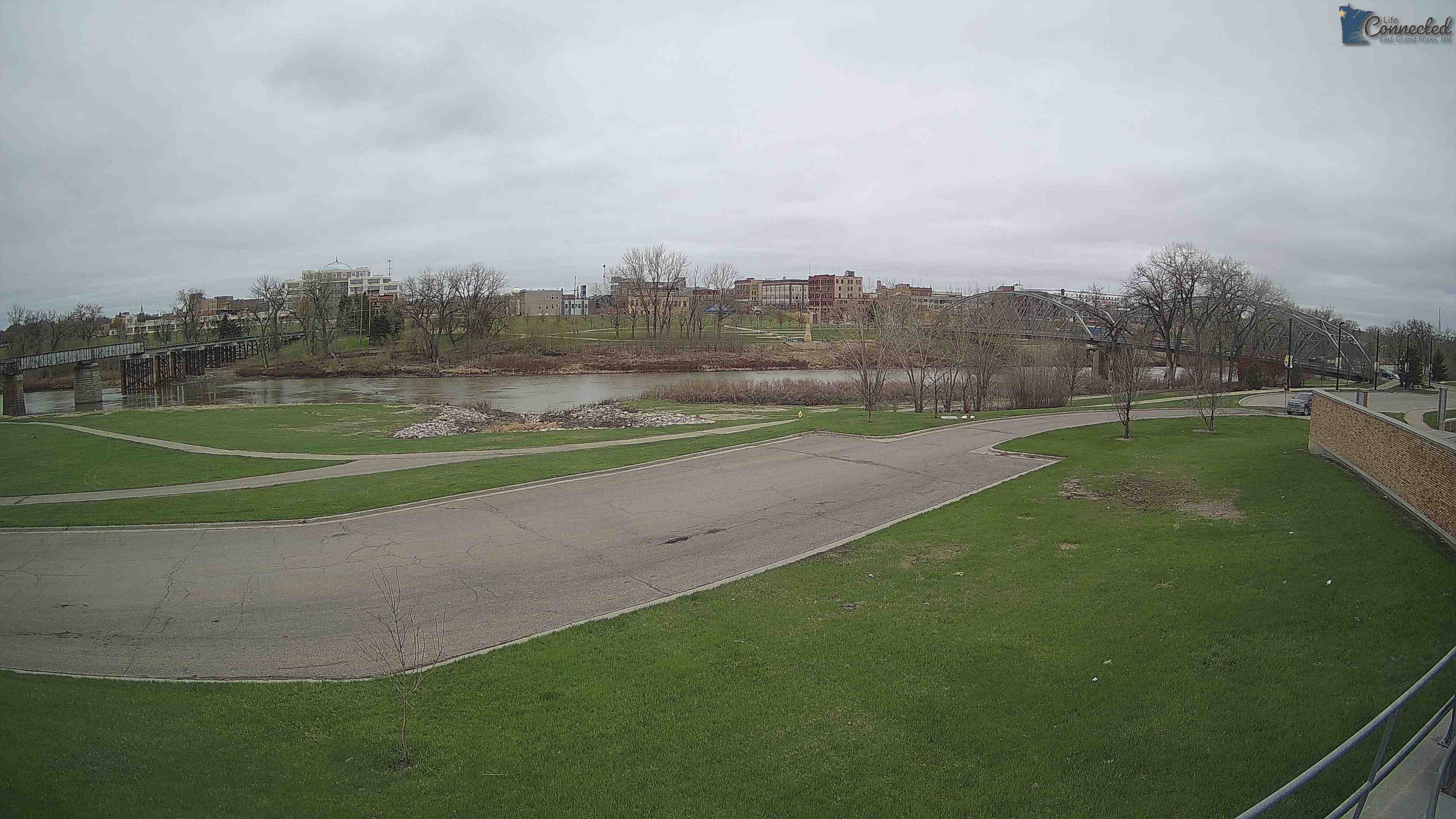
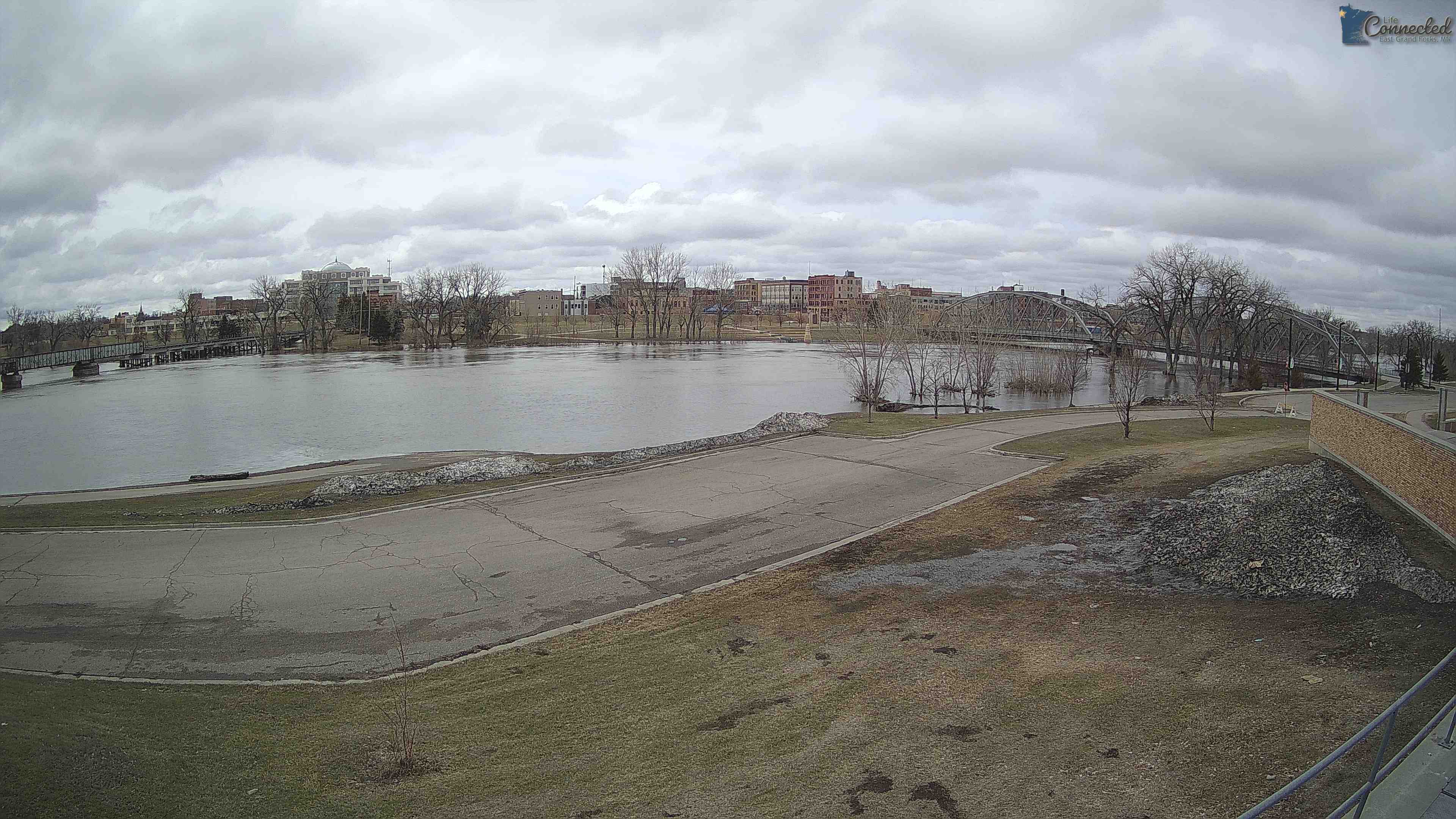
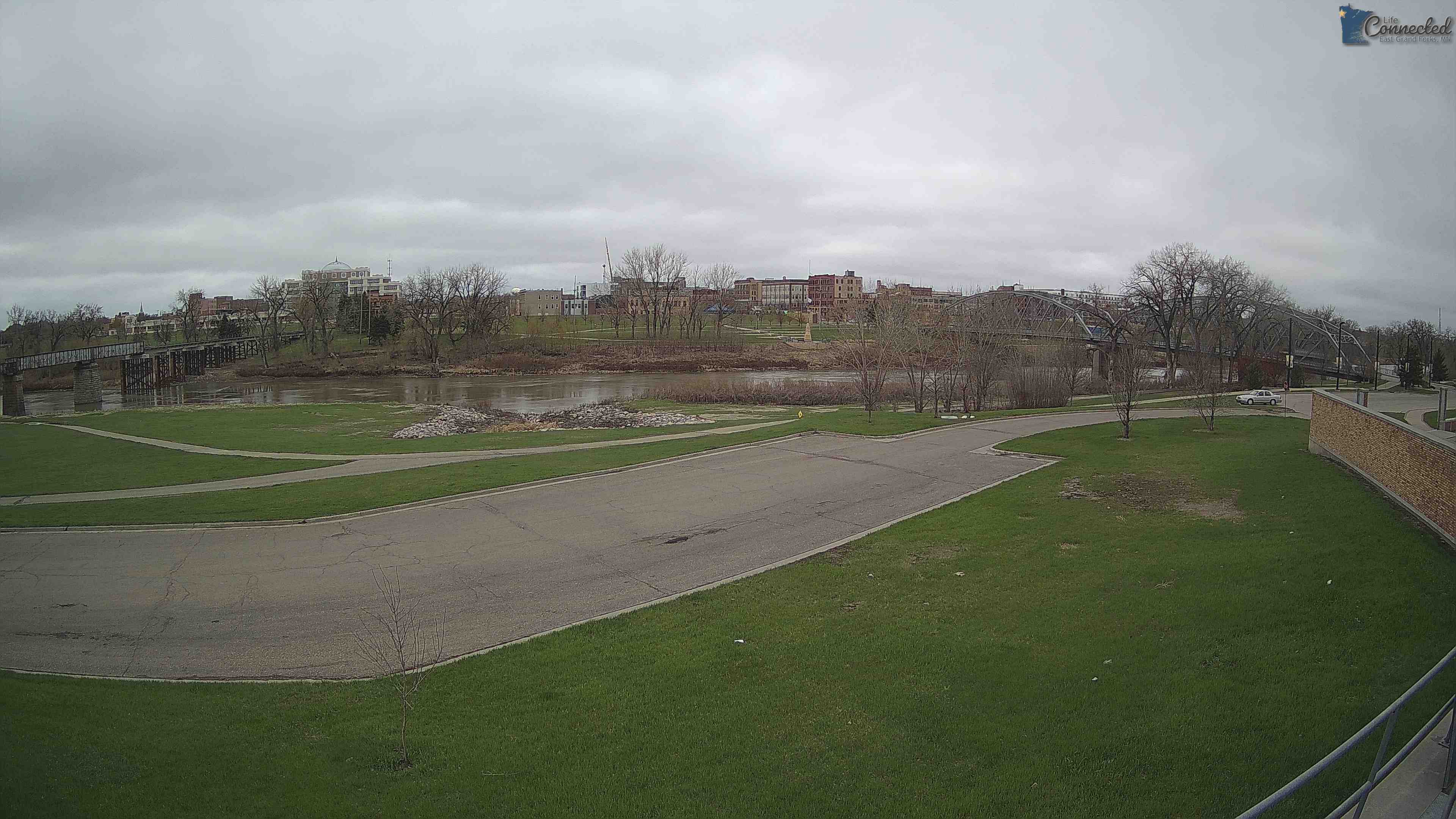
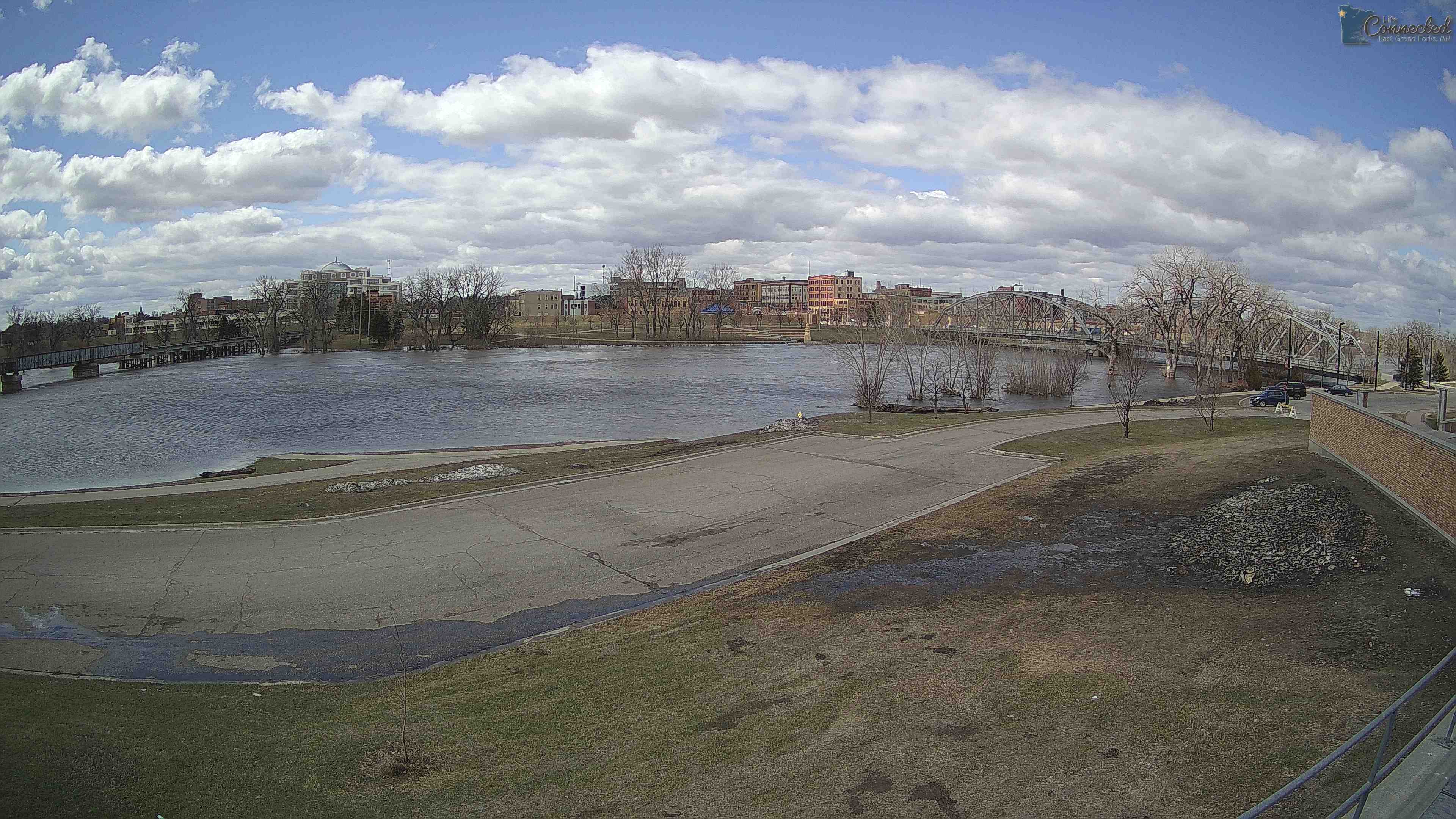
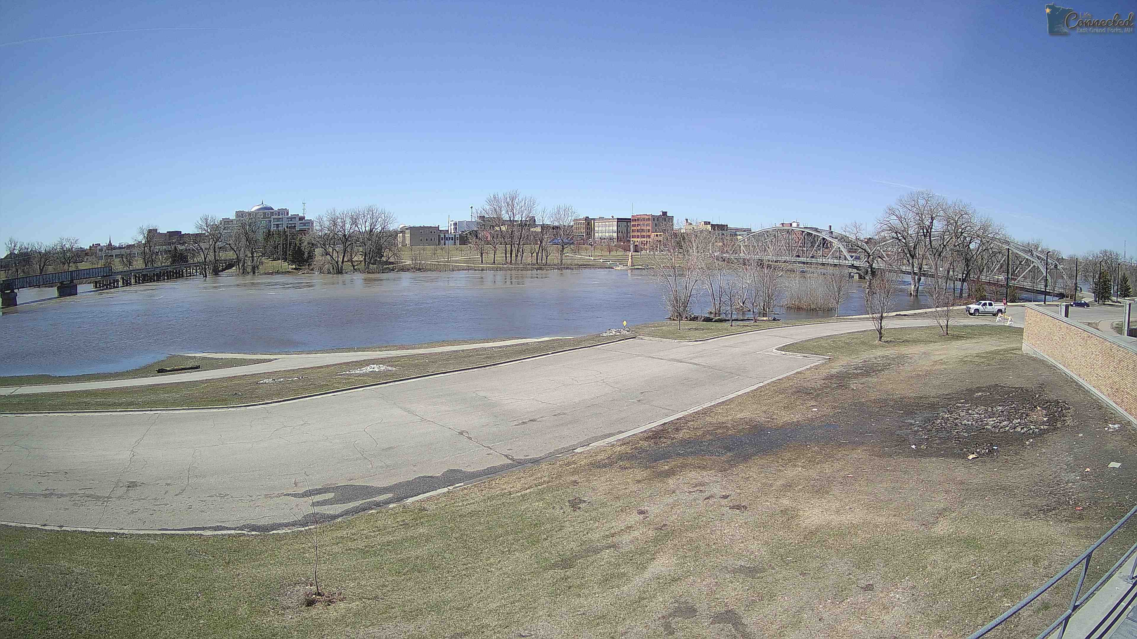
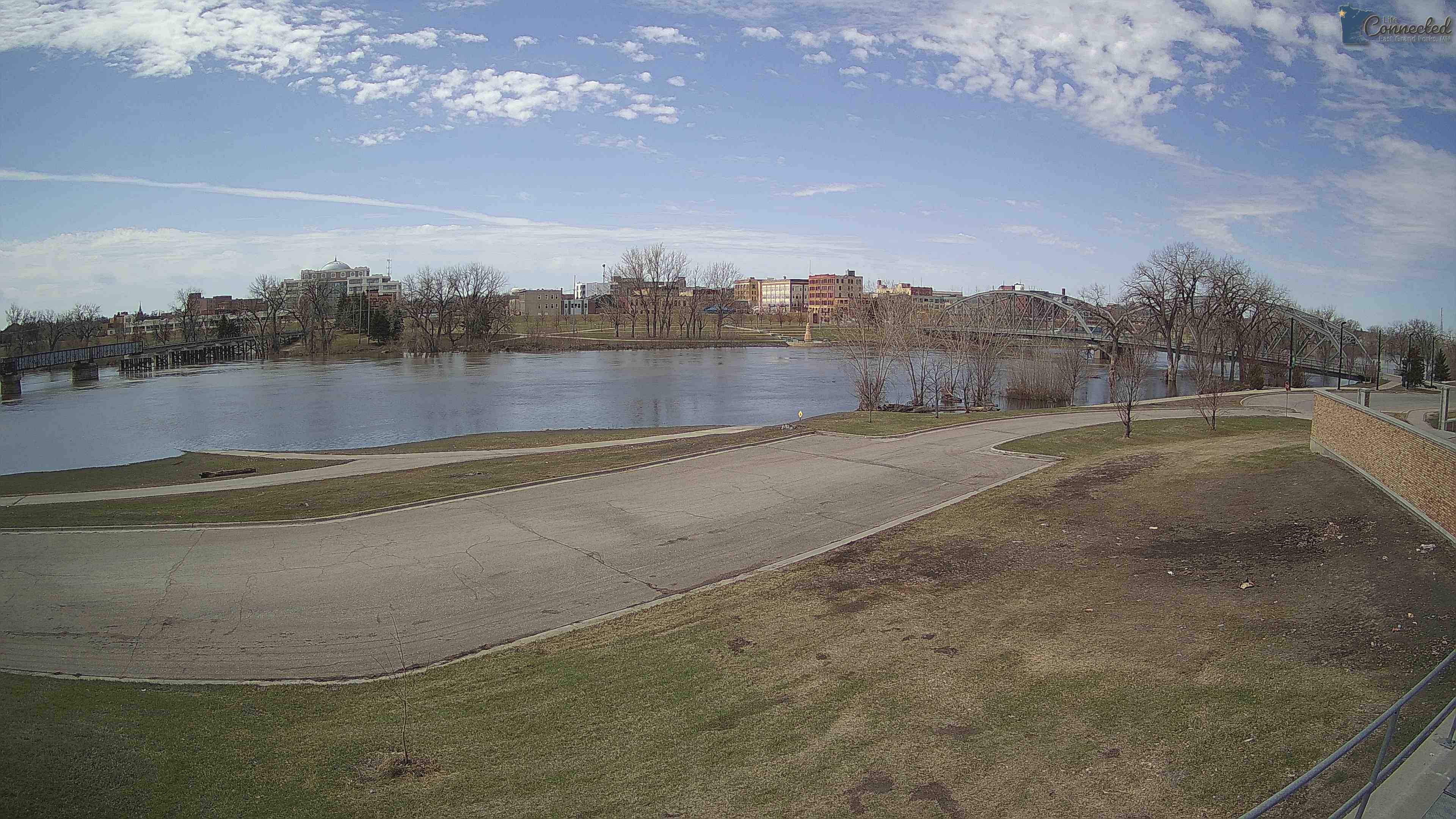
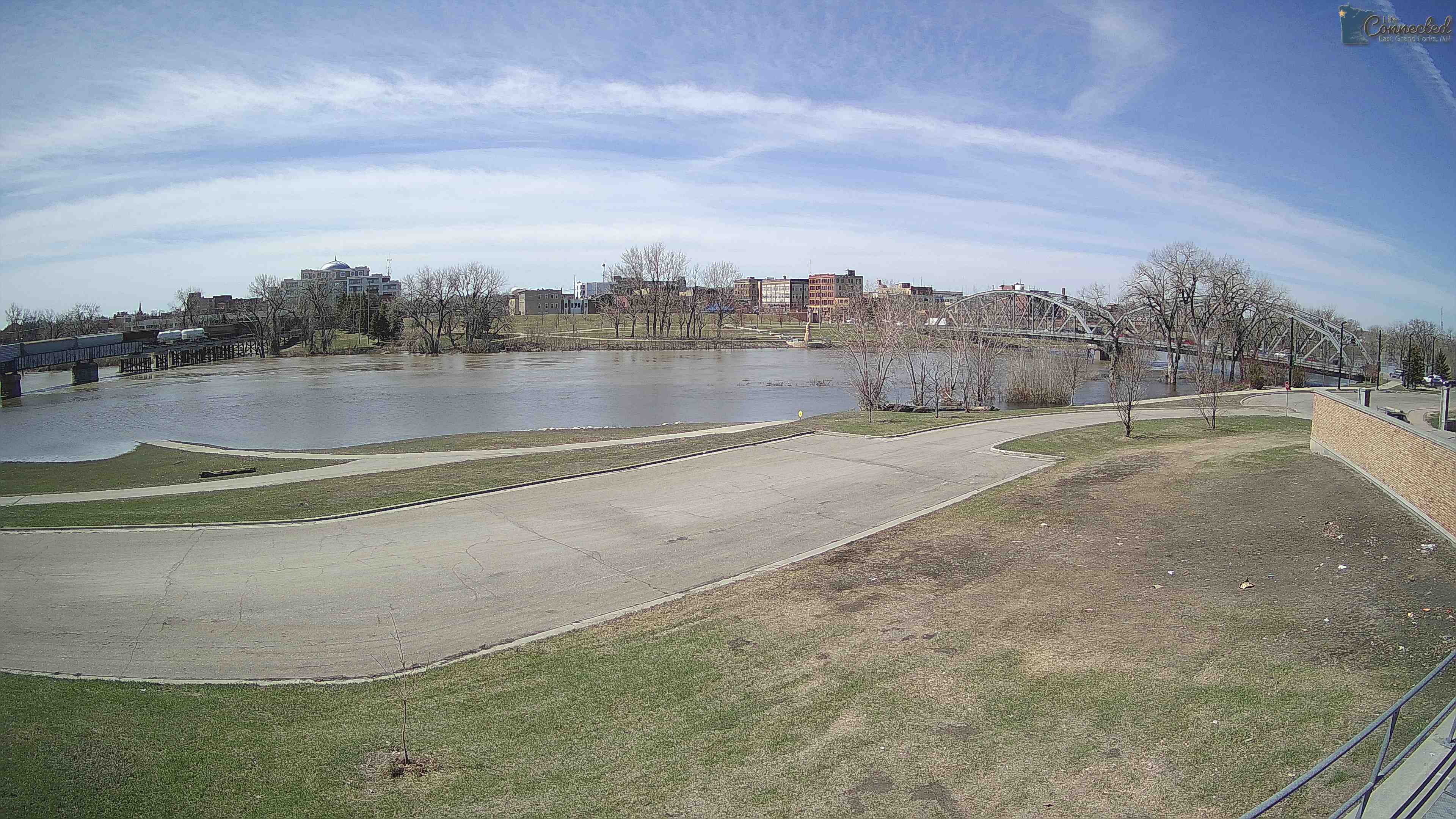
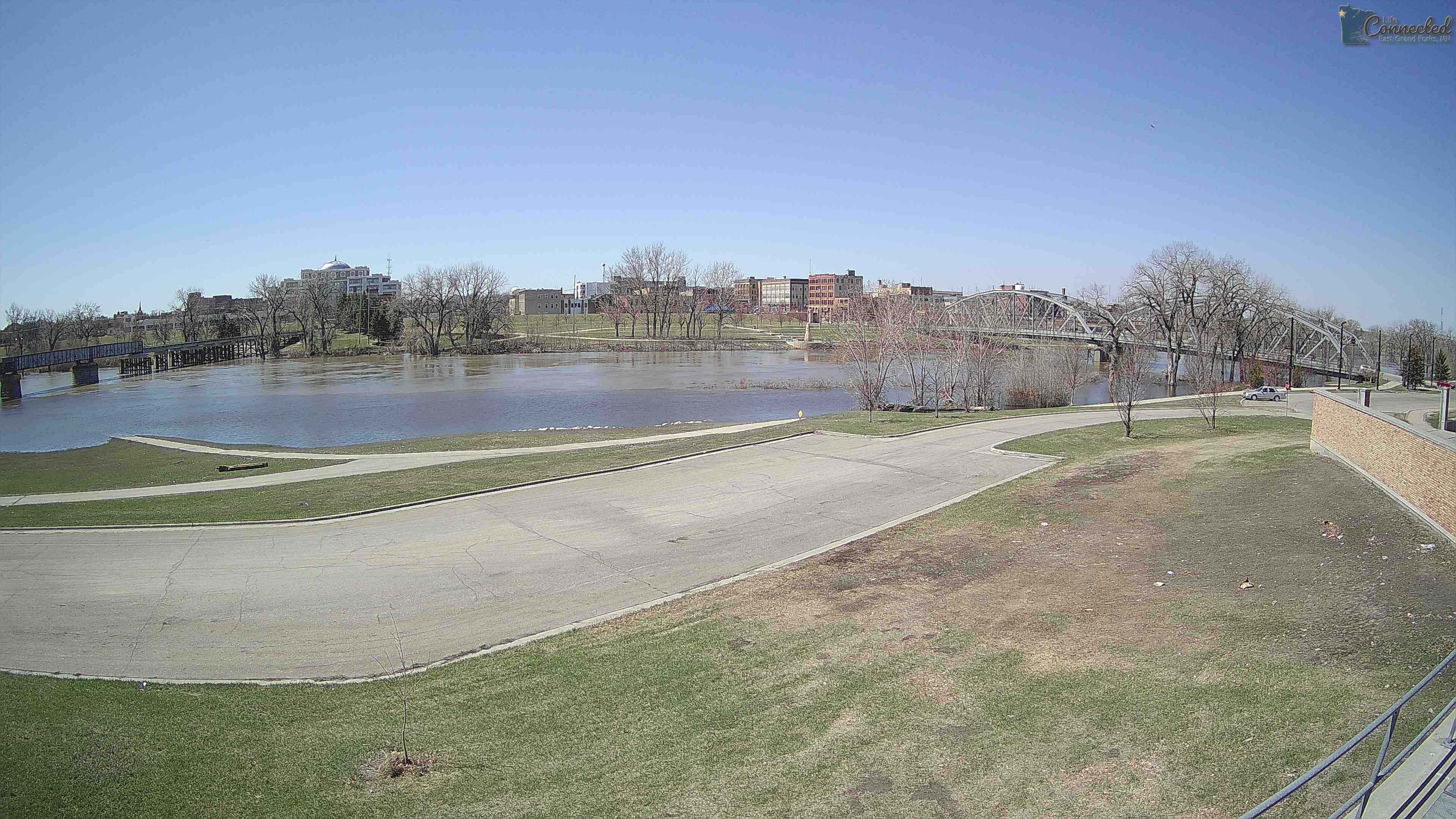
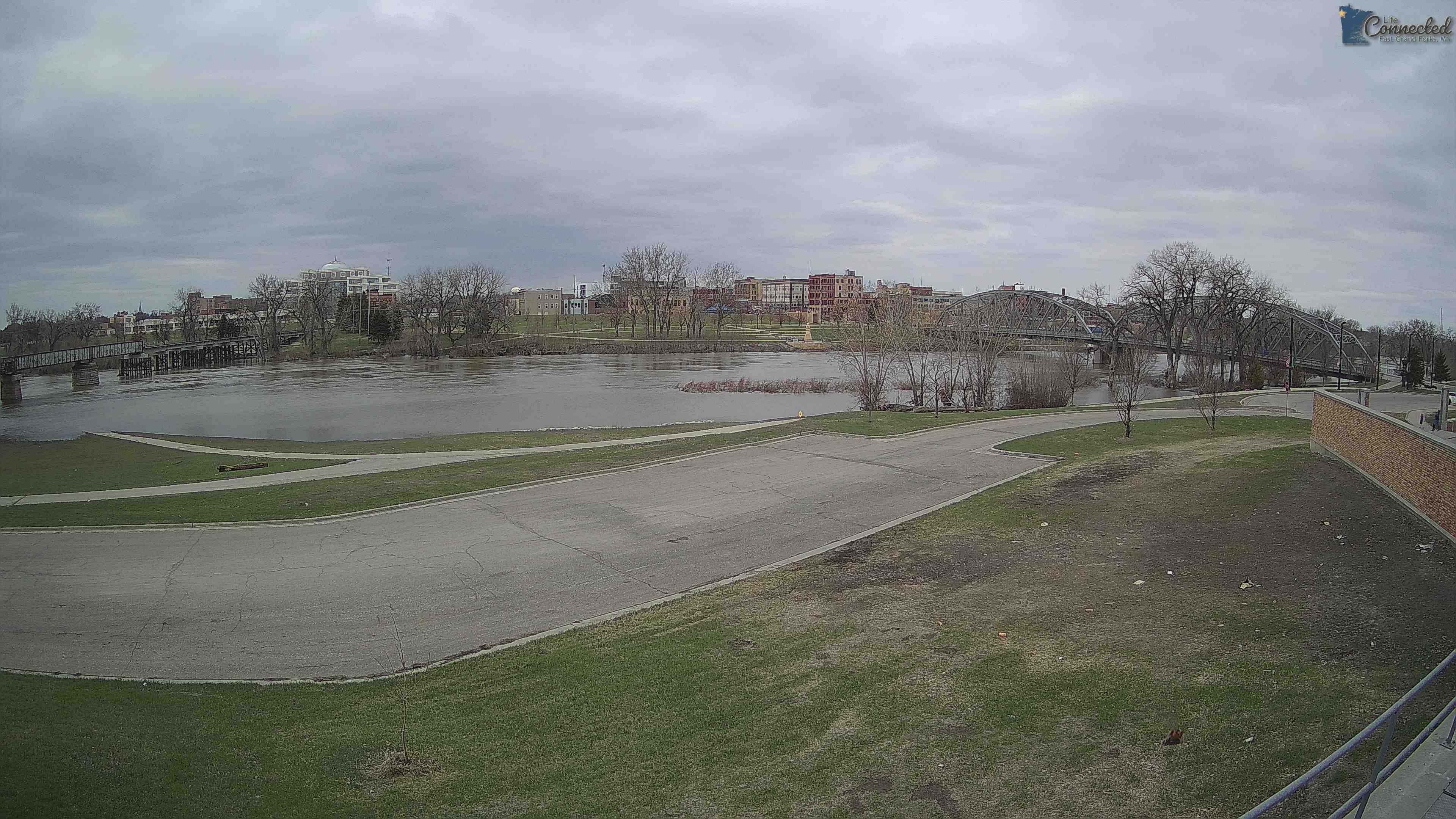
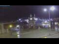
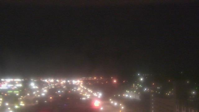
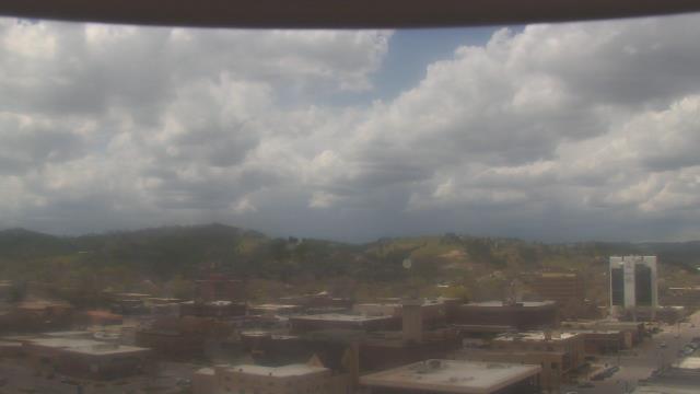
East Grand Forks, Minnesota, USA - 181.4 miles from Summit: Sorlie Bridge - Sorlie Bridge over the Red River of the North, connecting East Grand Forks, MN with Grand Forks, ND.
Operator: City of East Grand Forks
Operator: City of East Grand Forks


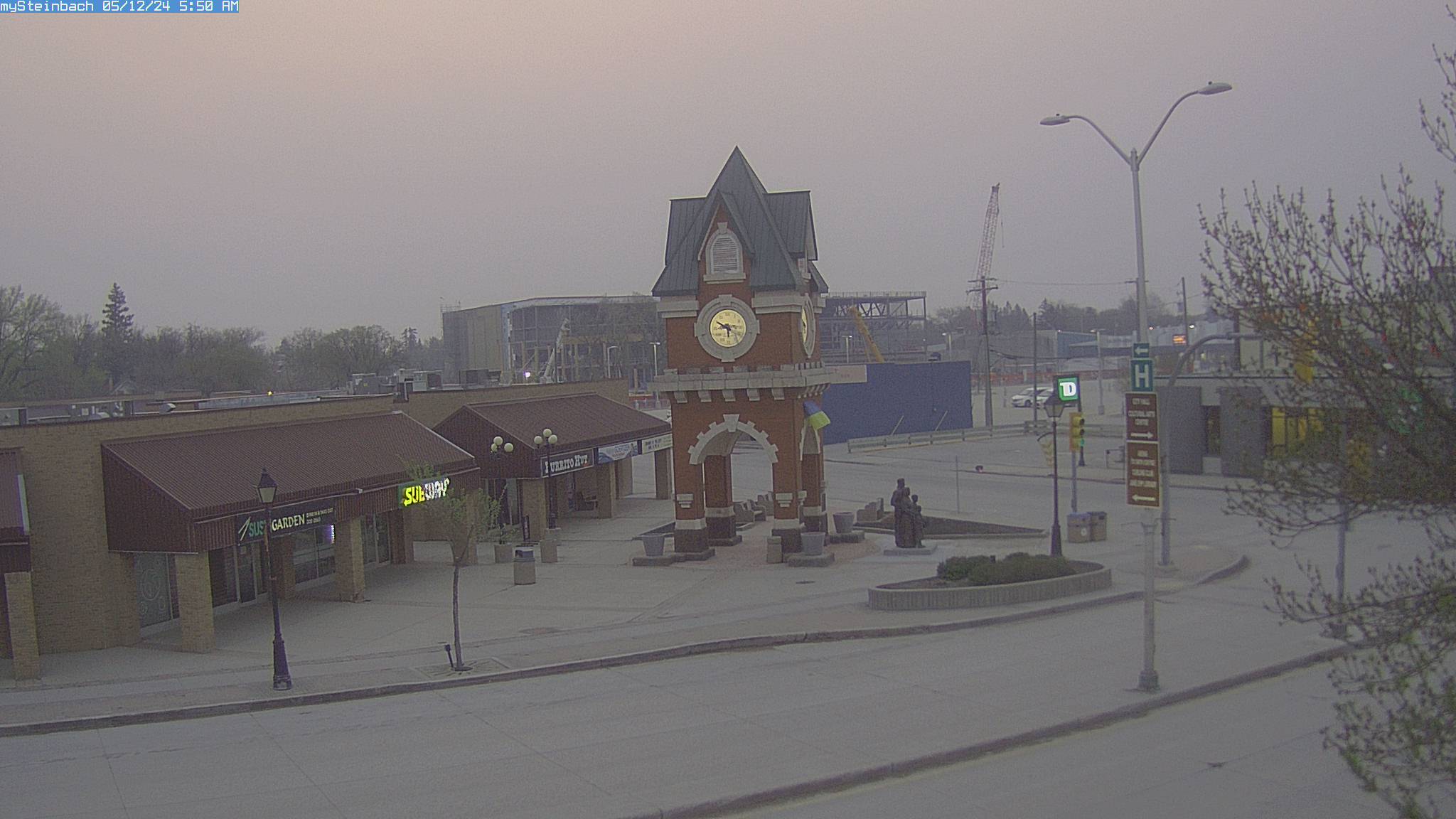
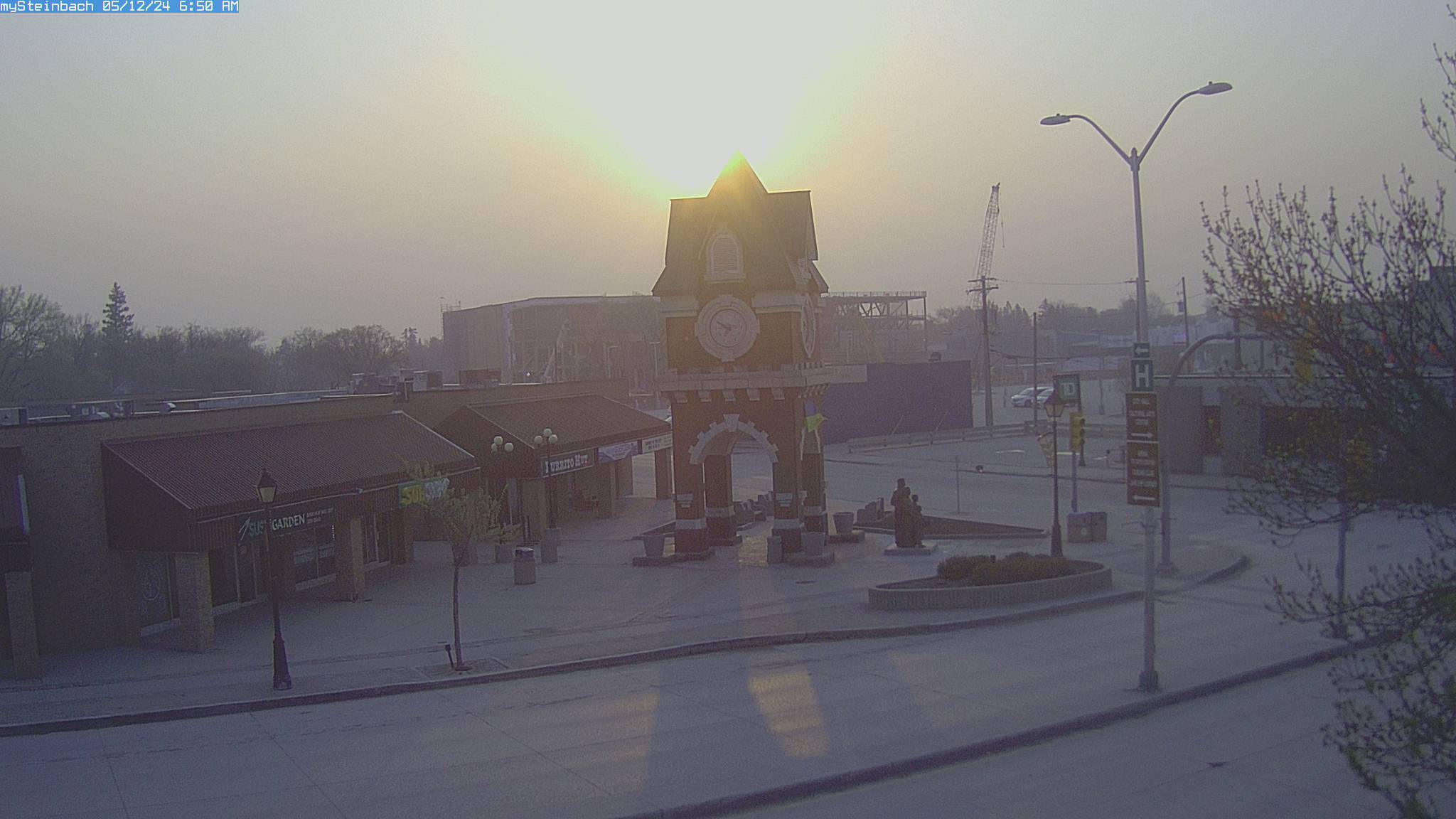
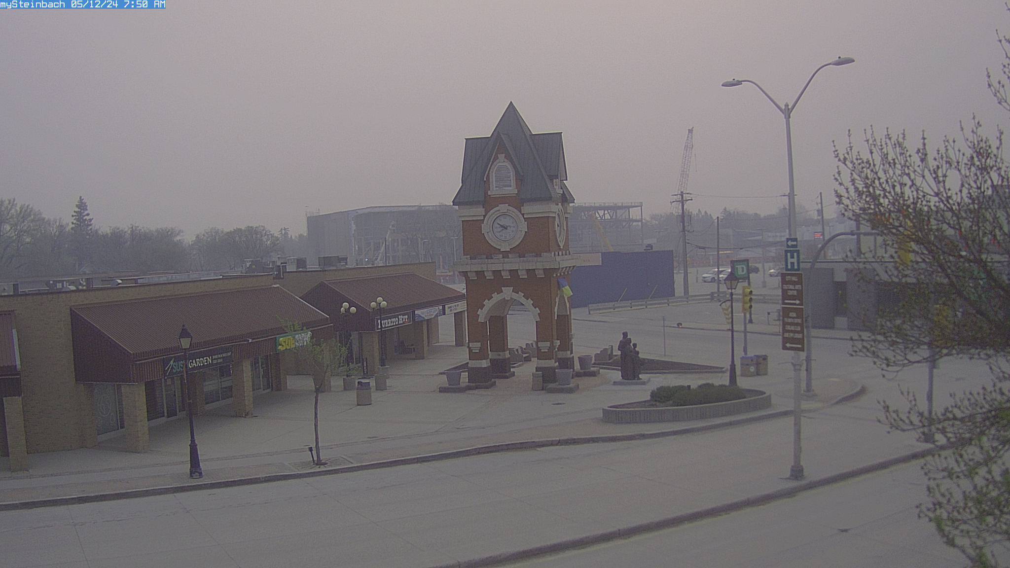
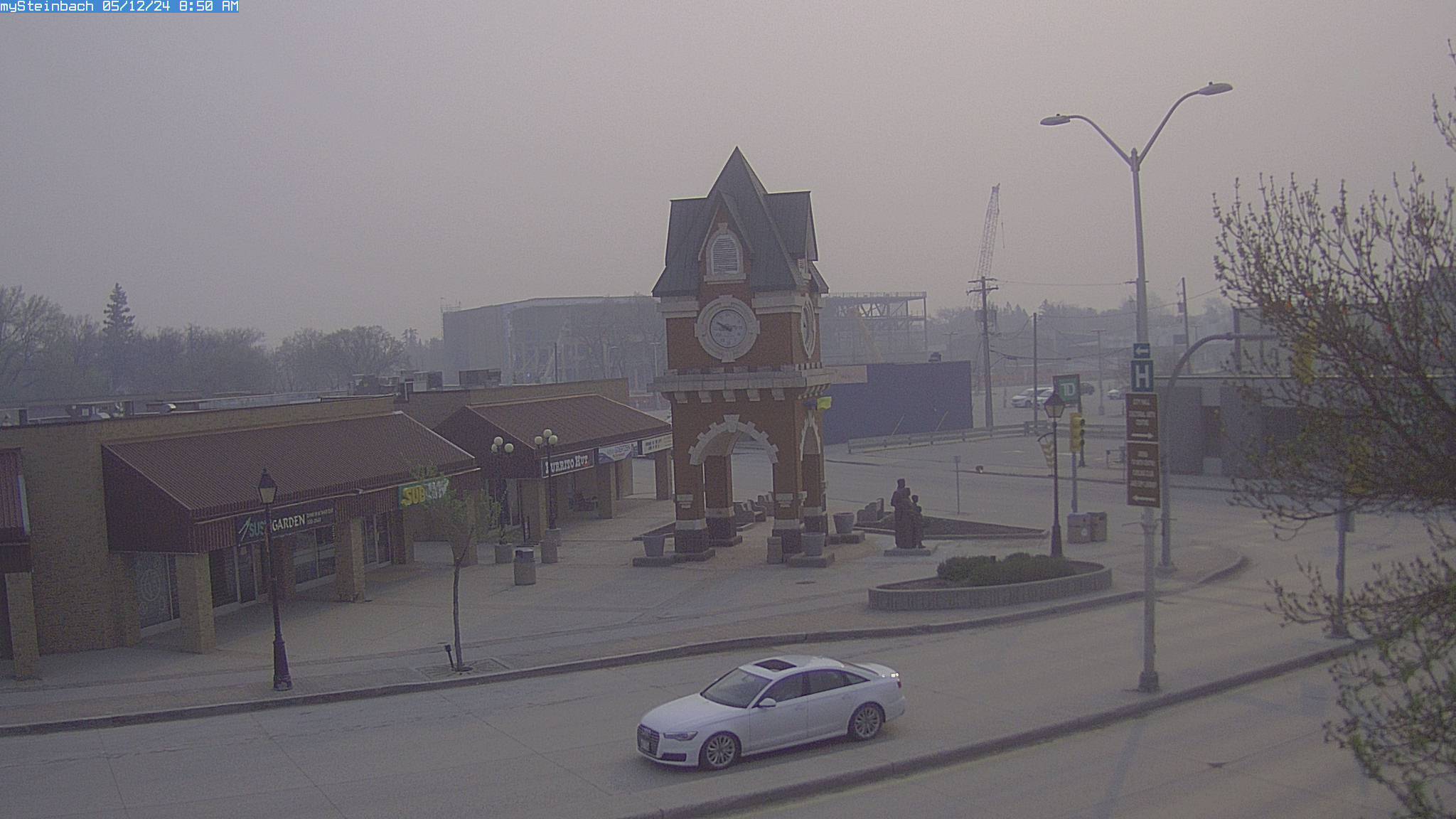
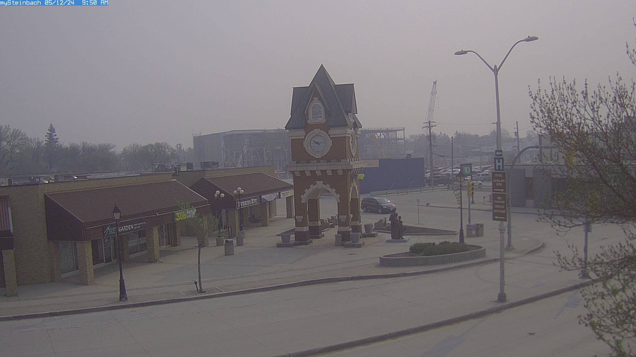
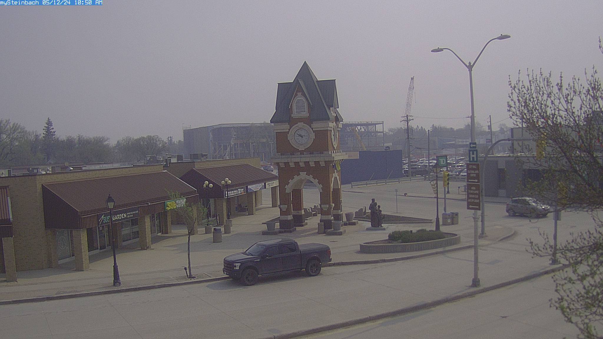
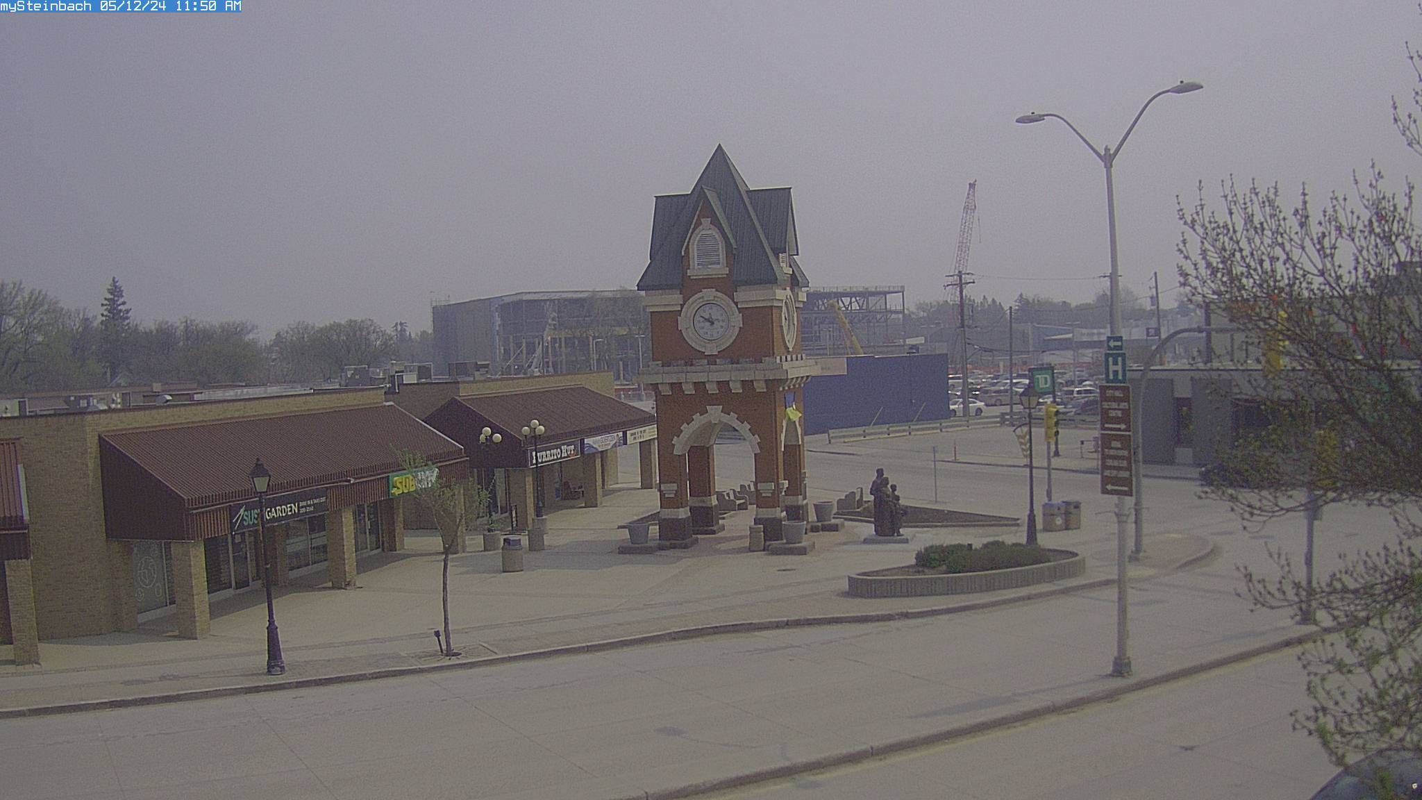
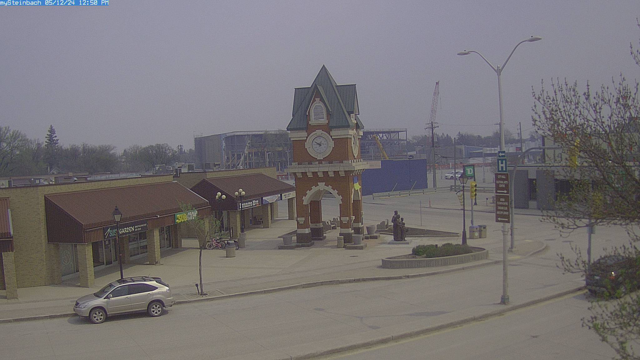
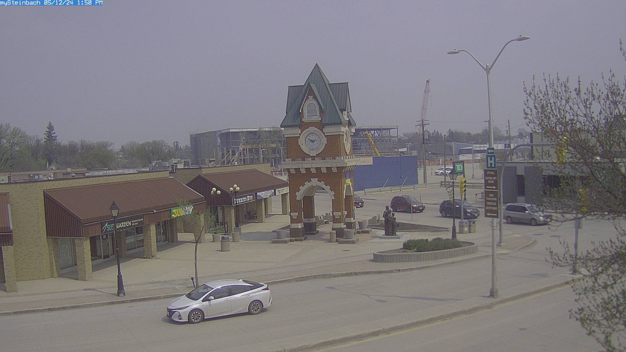
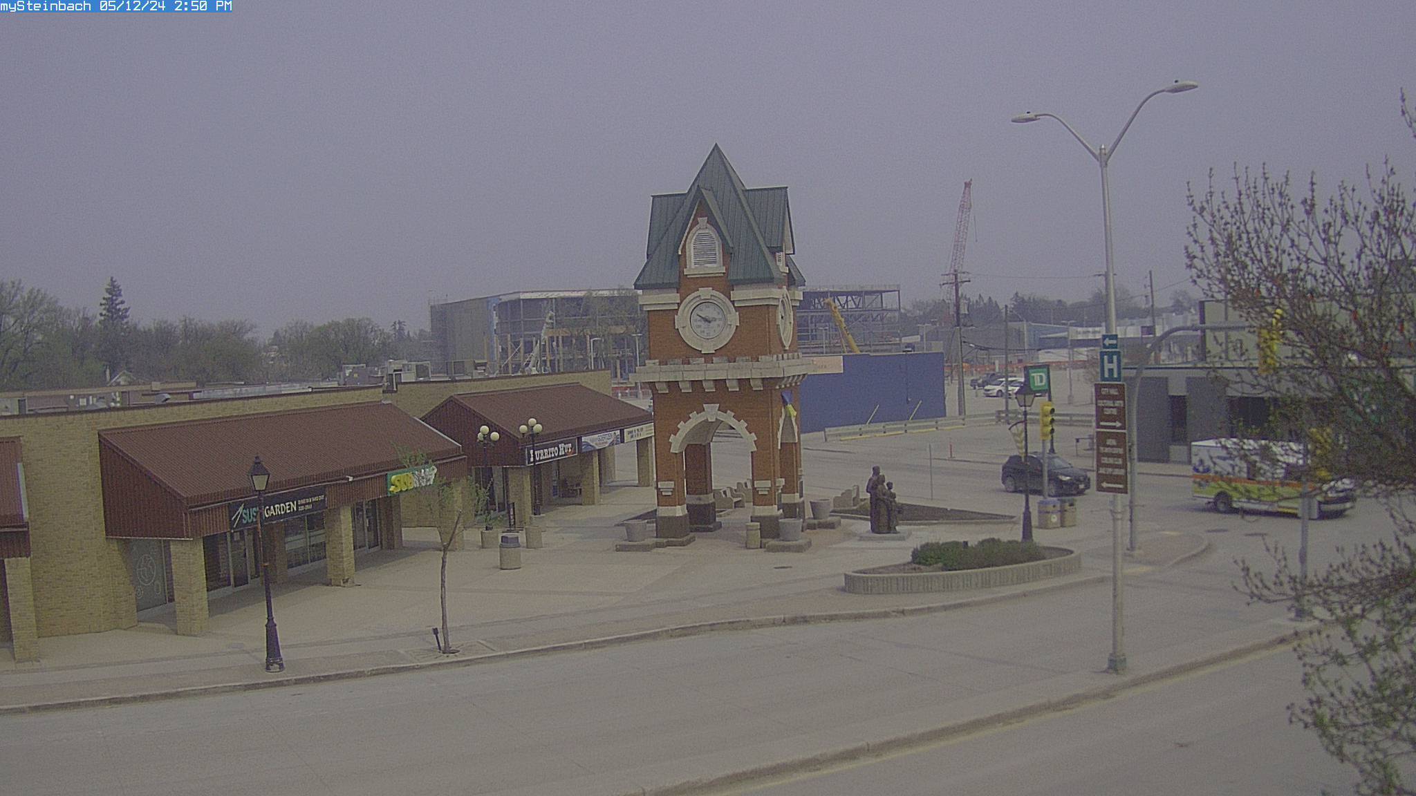
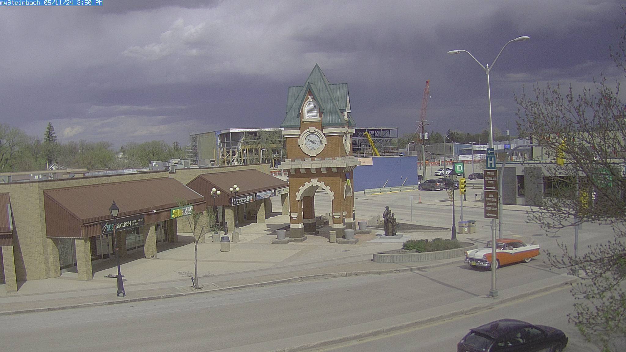
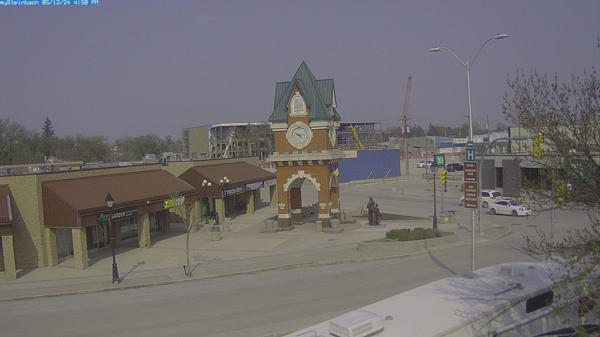
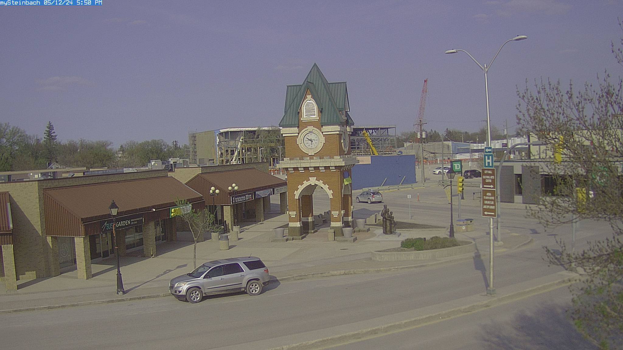
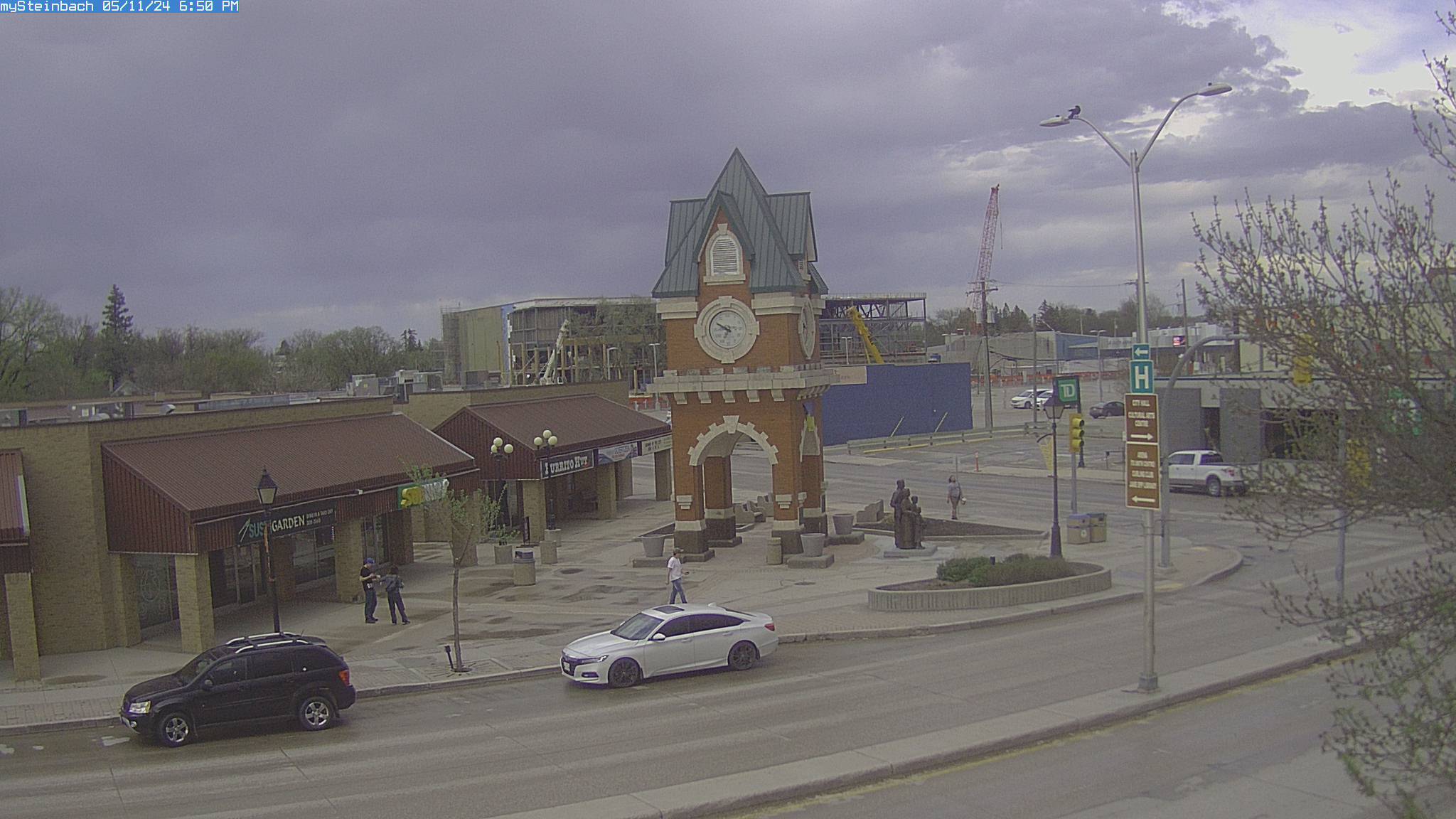
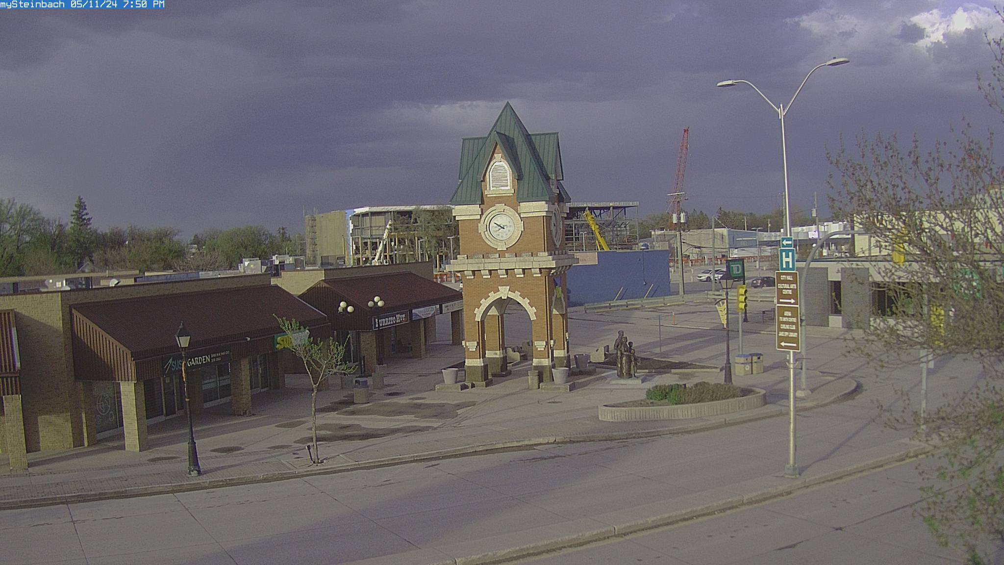
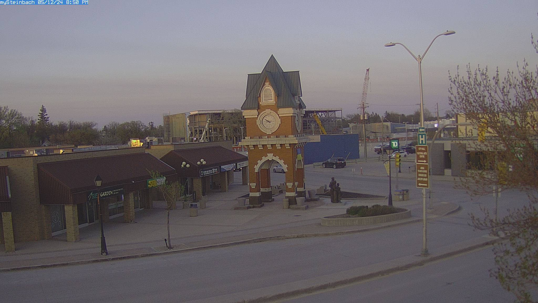
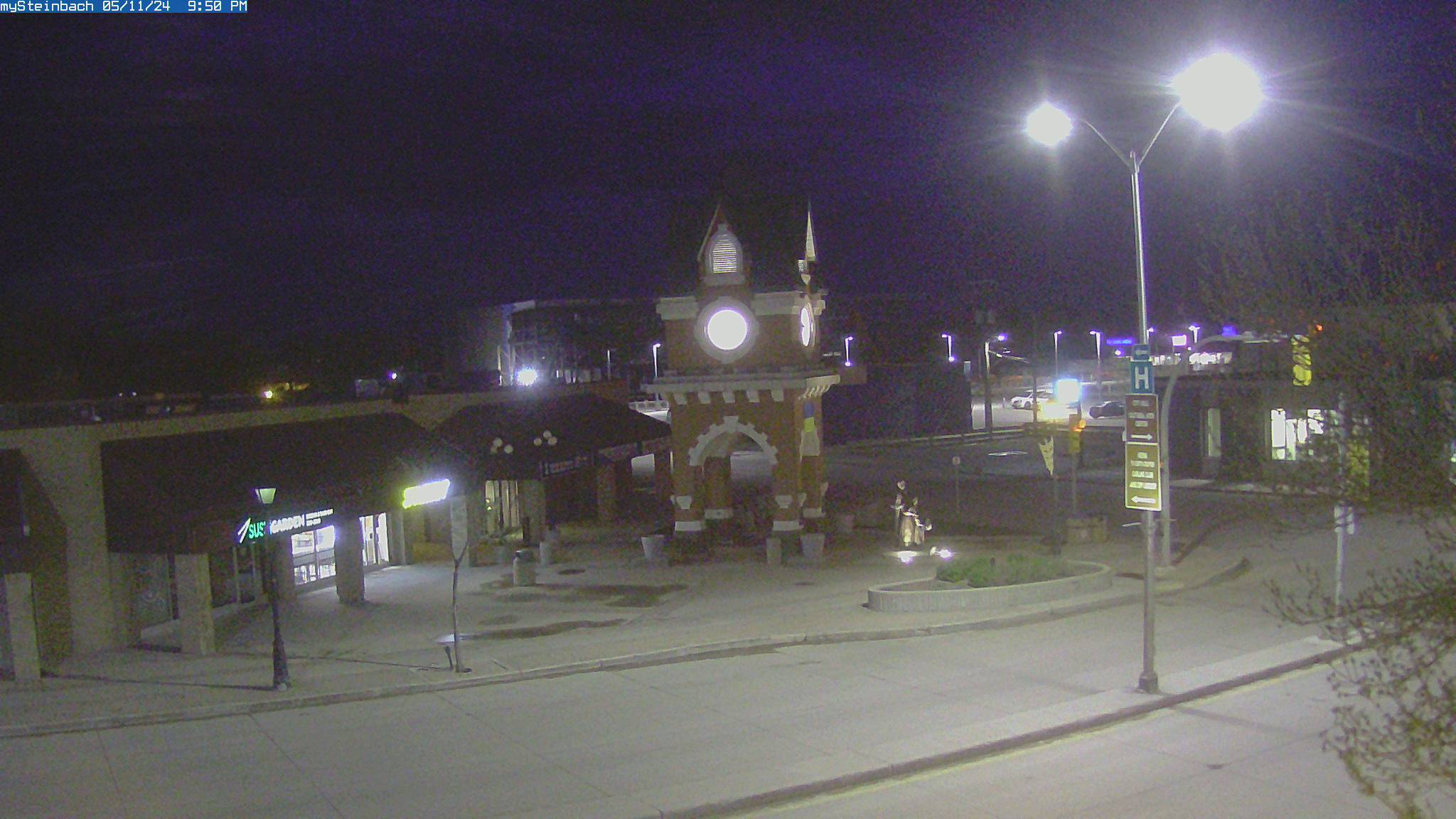
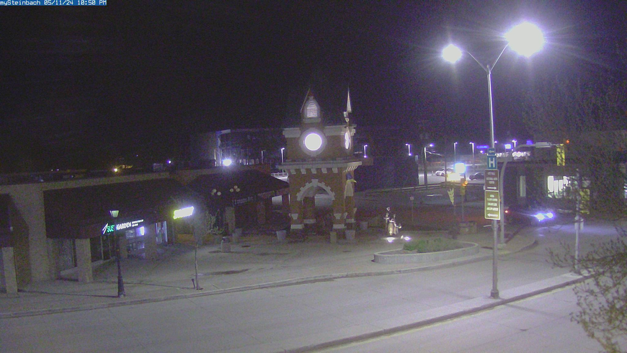
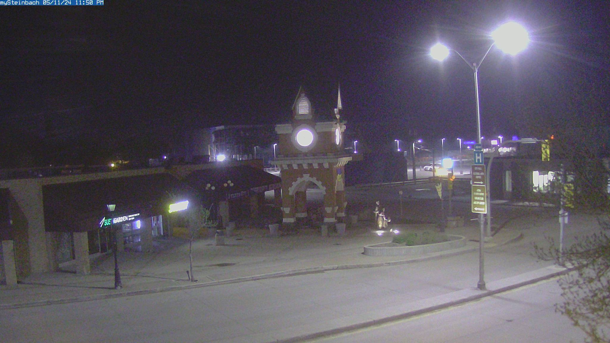
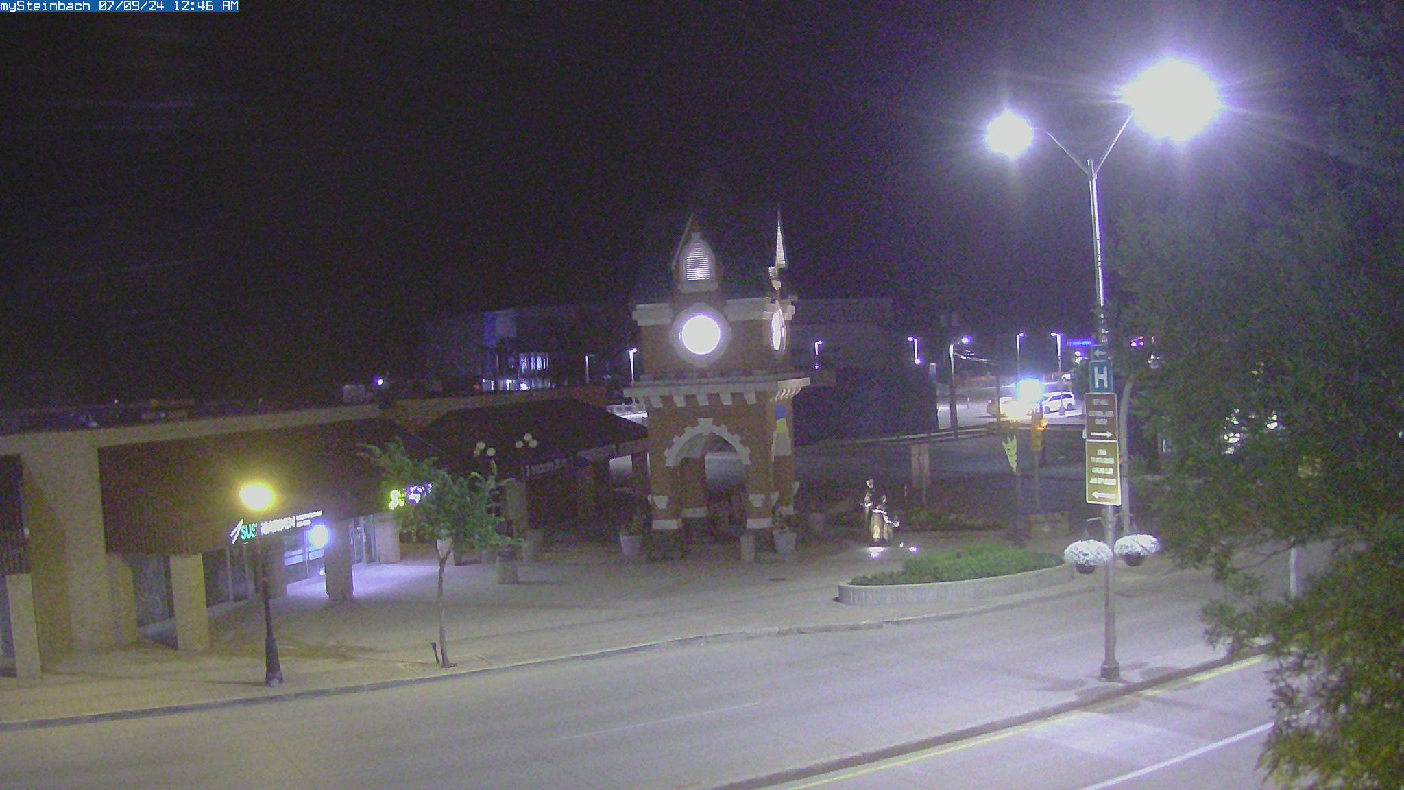
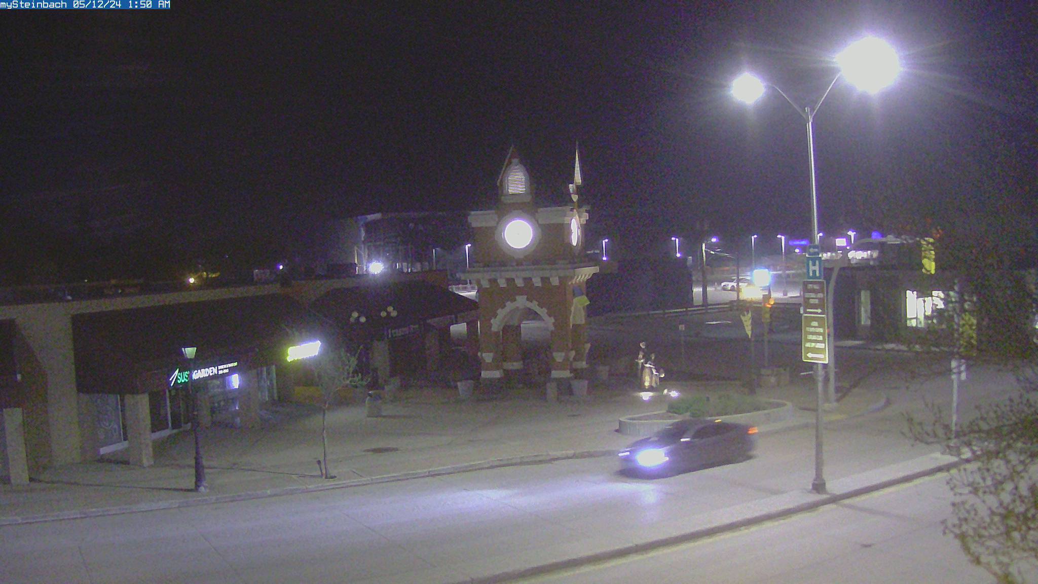
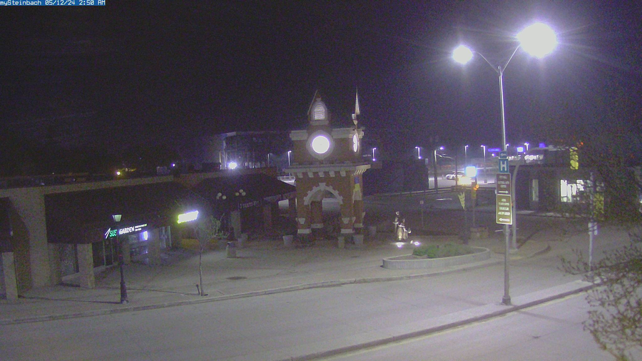
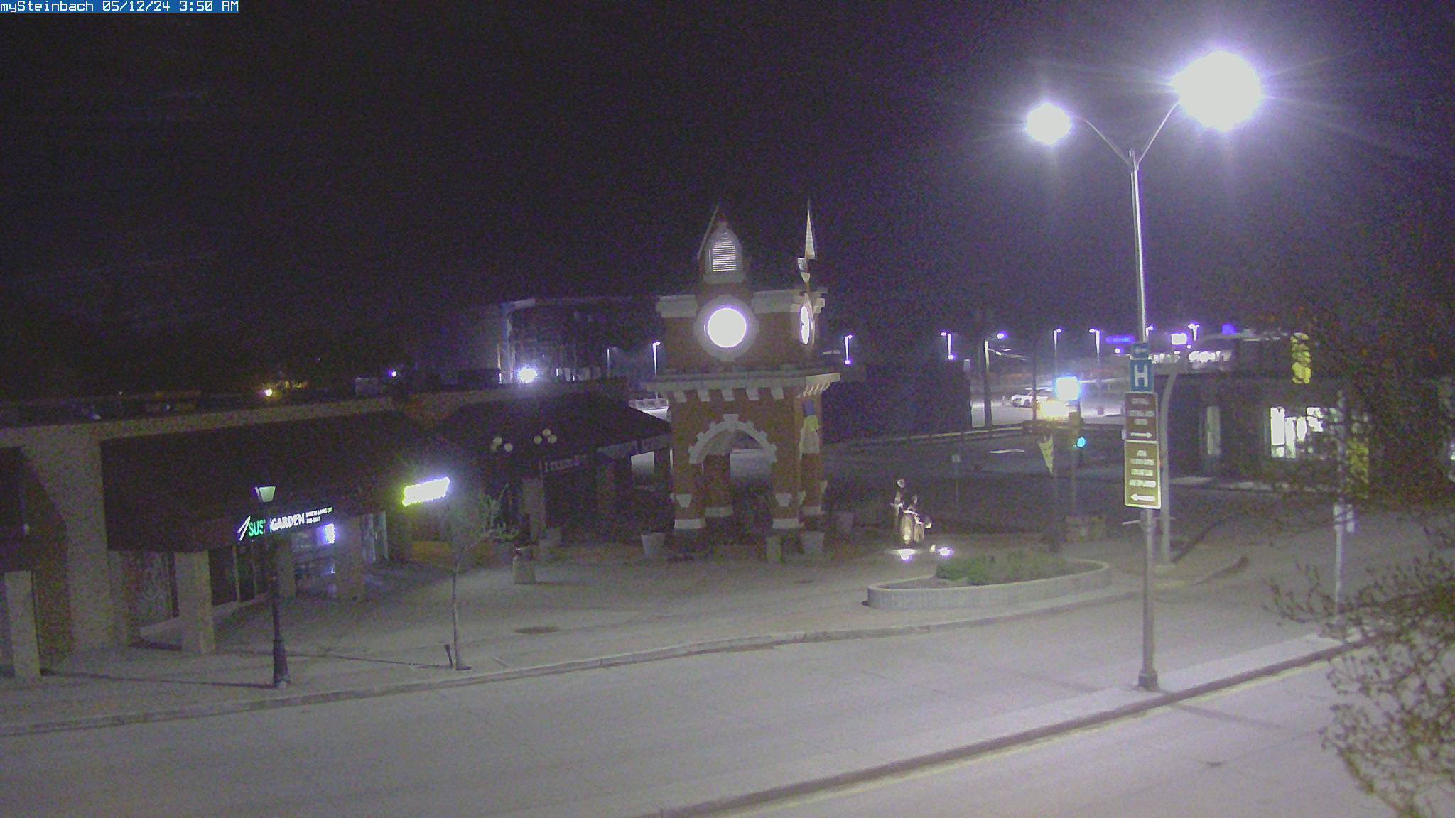
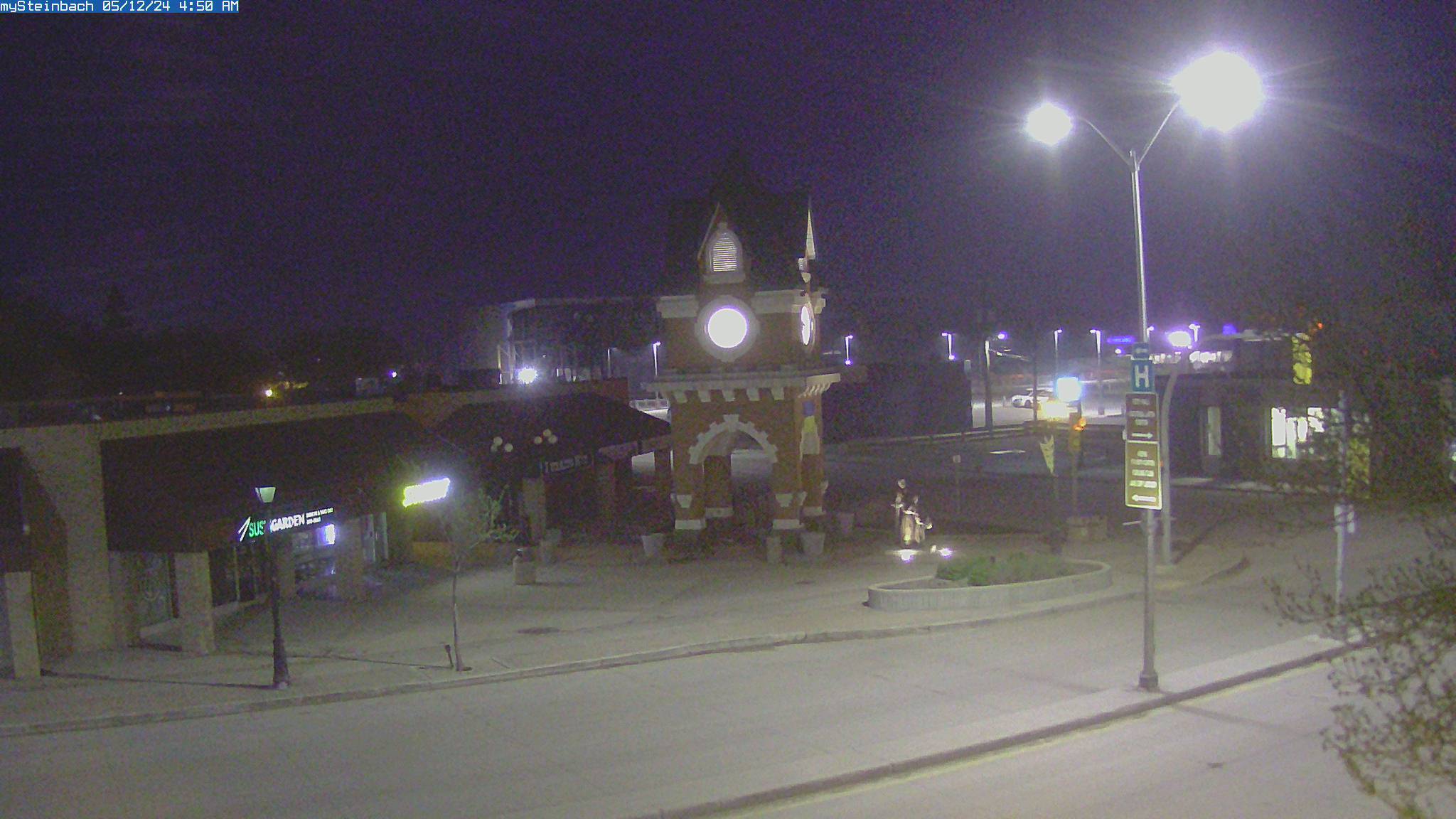
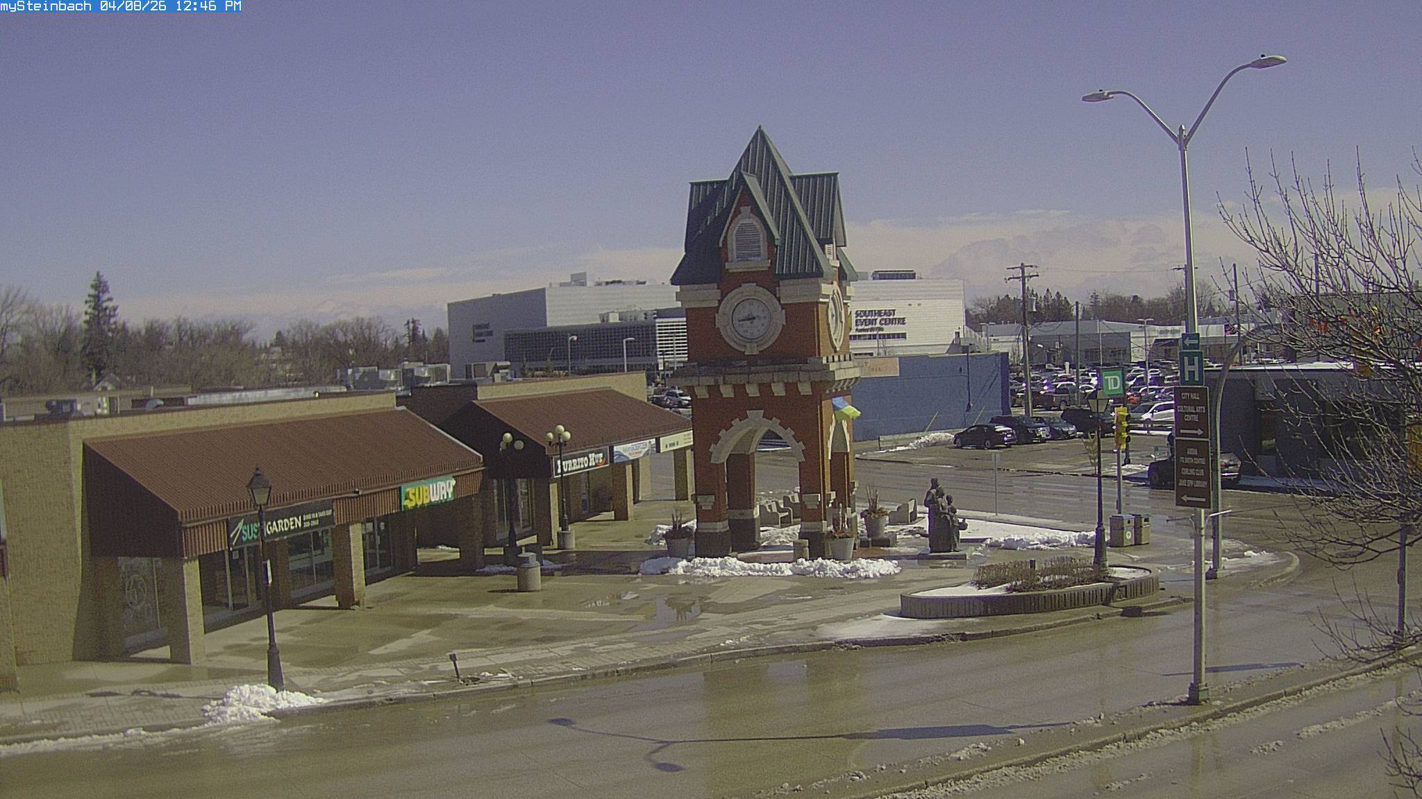
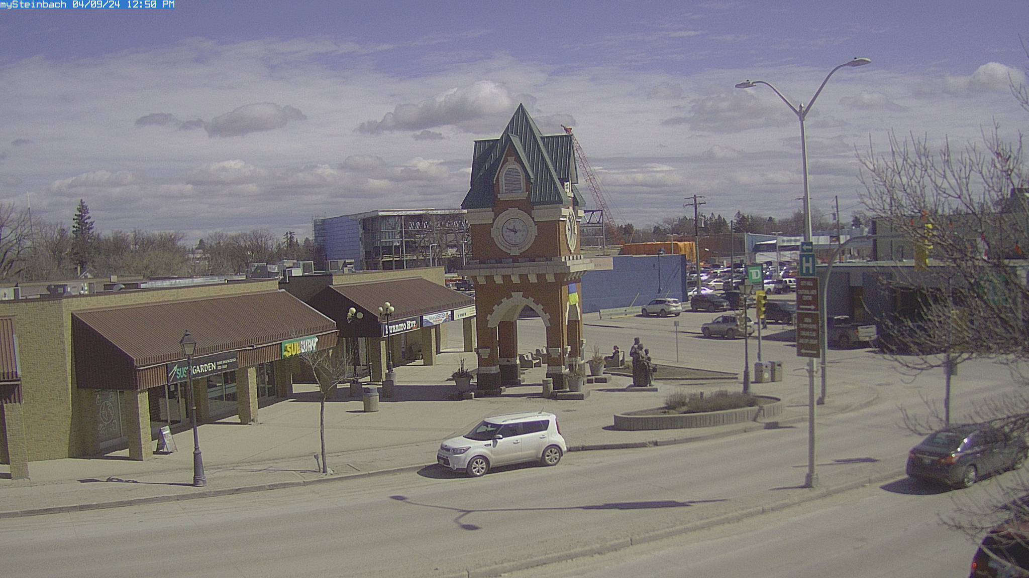
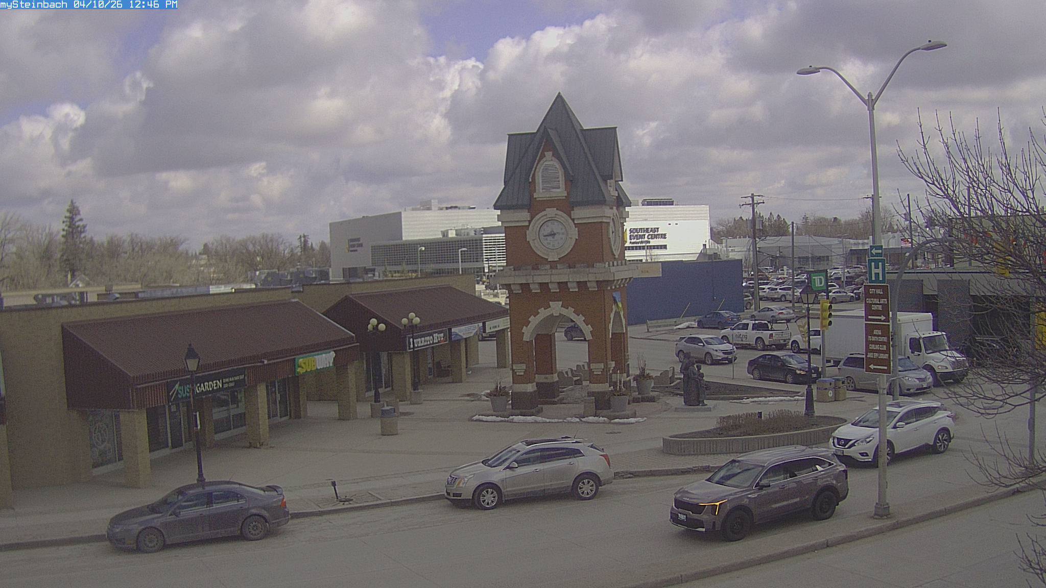
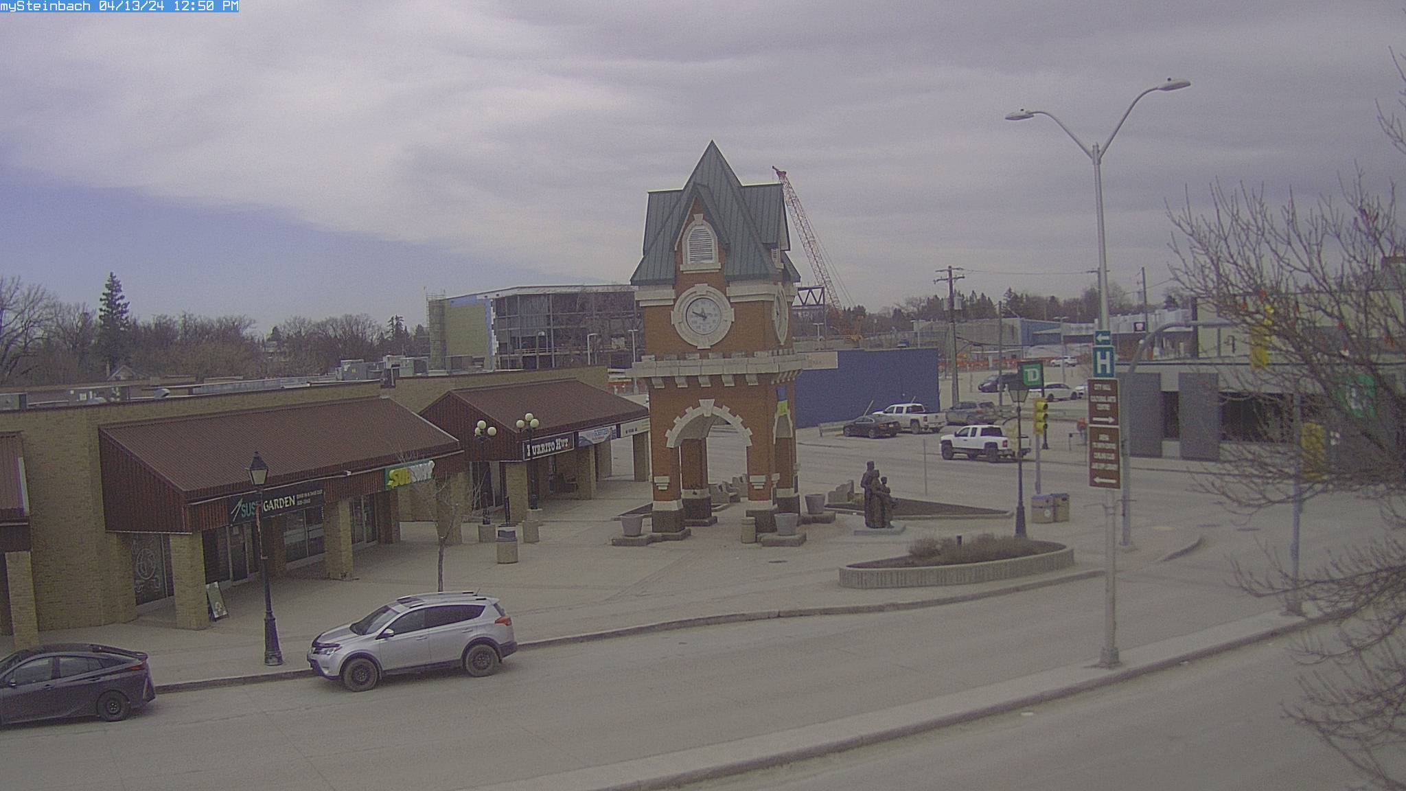
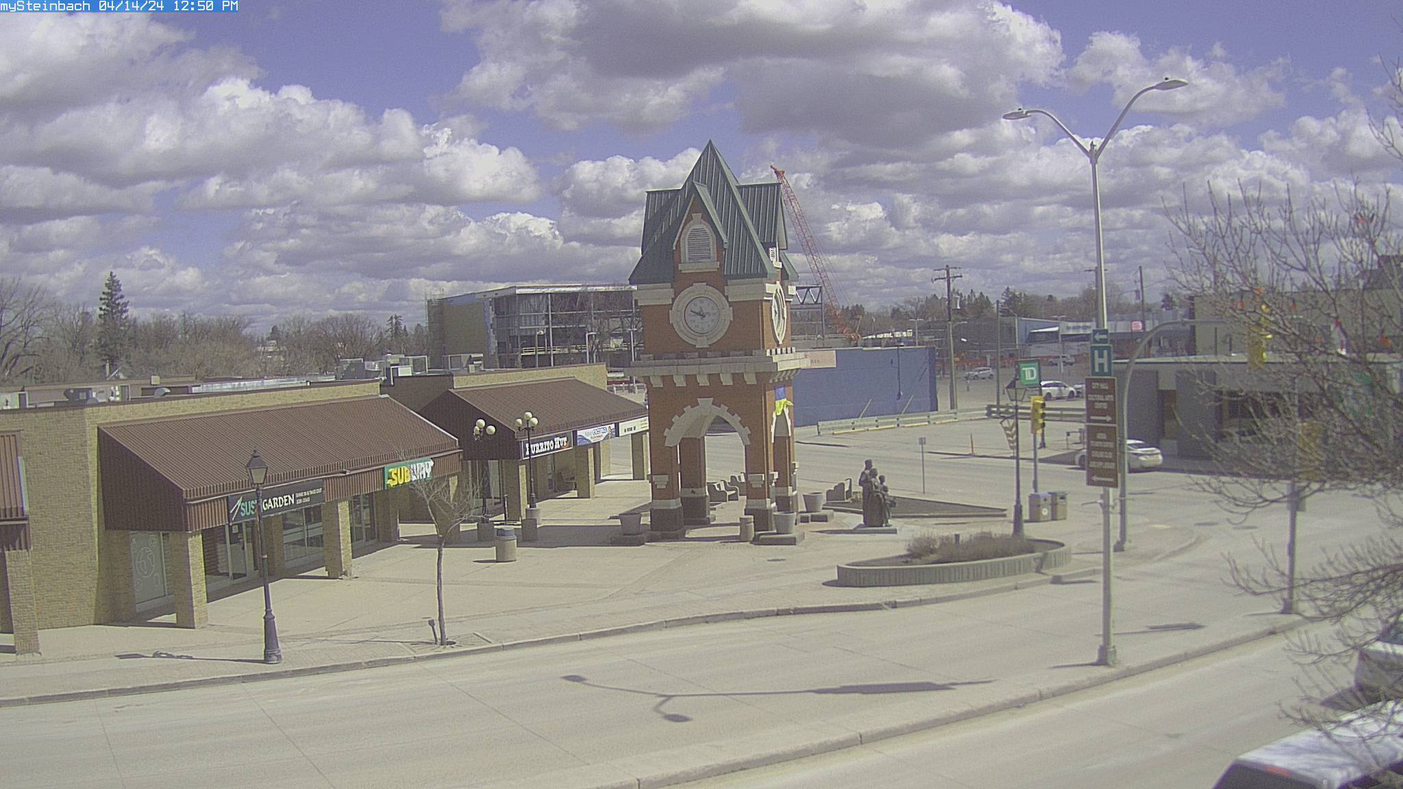
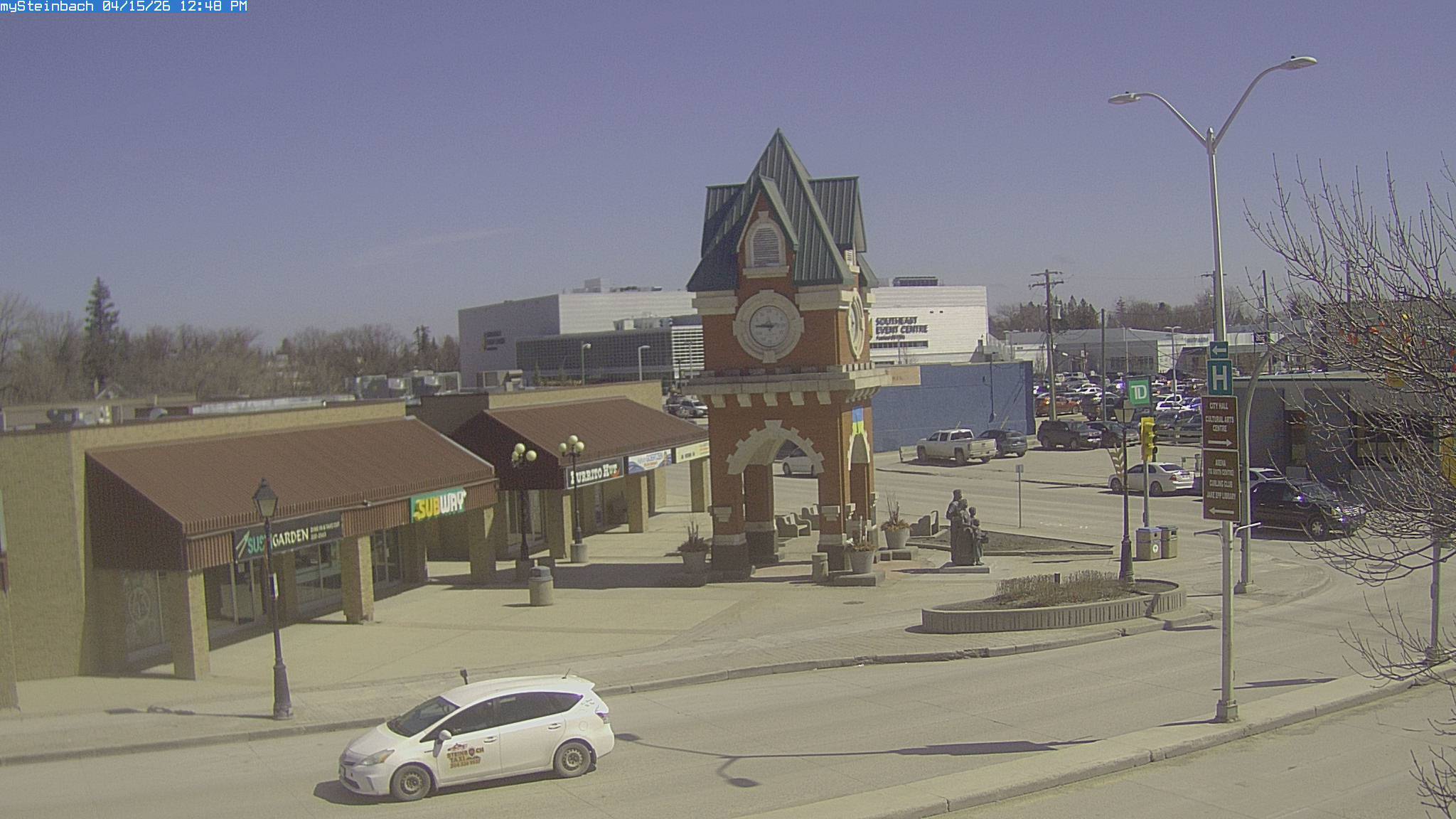
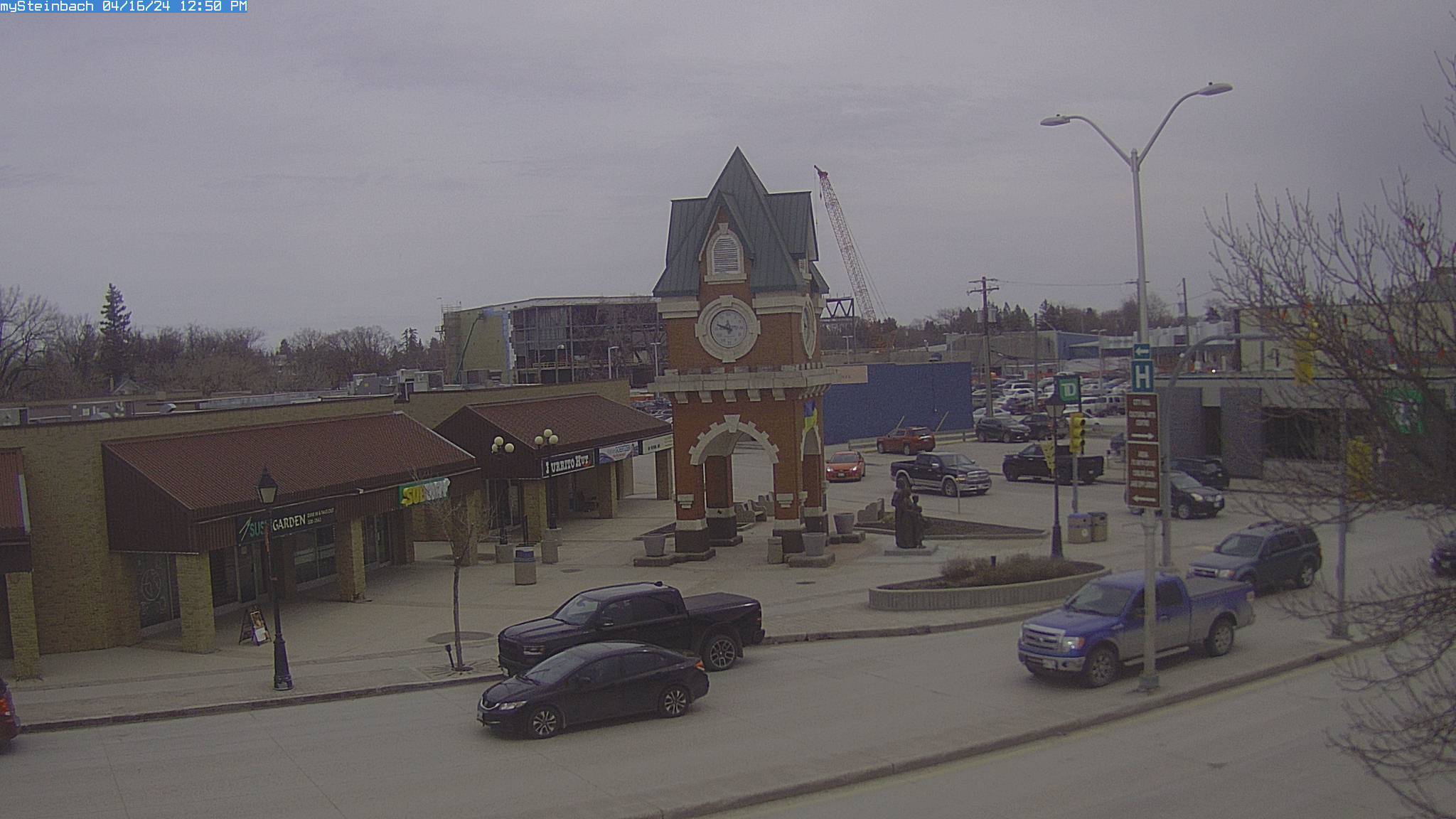
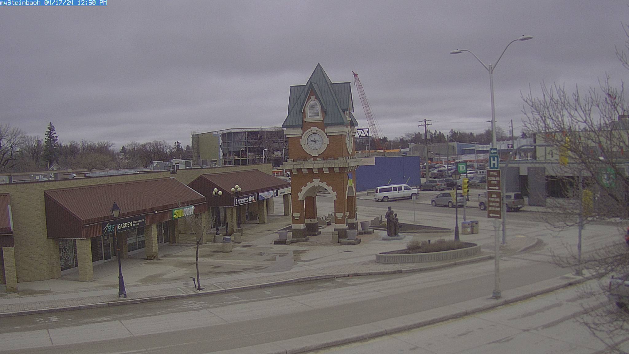
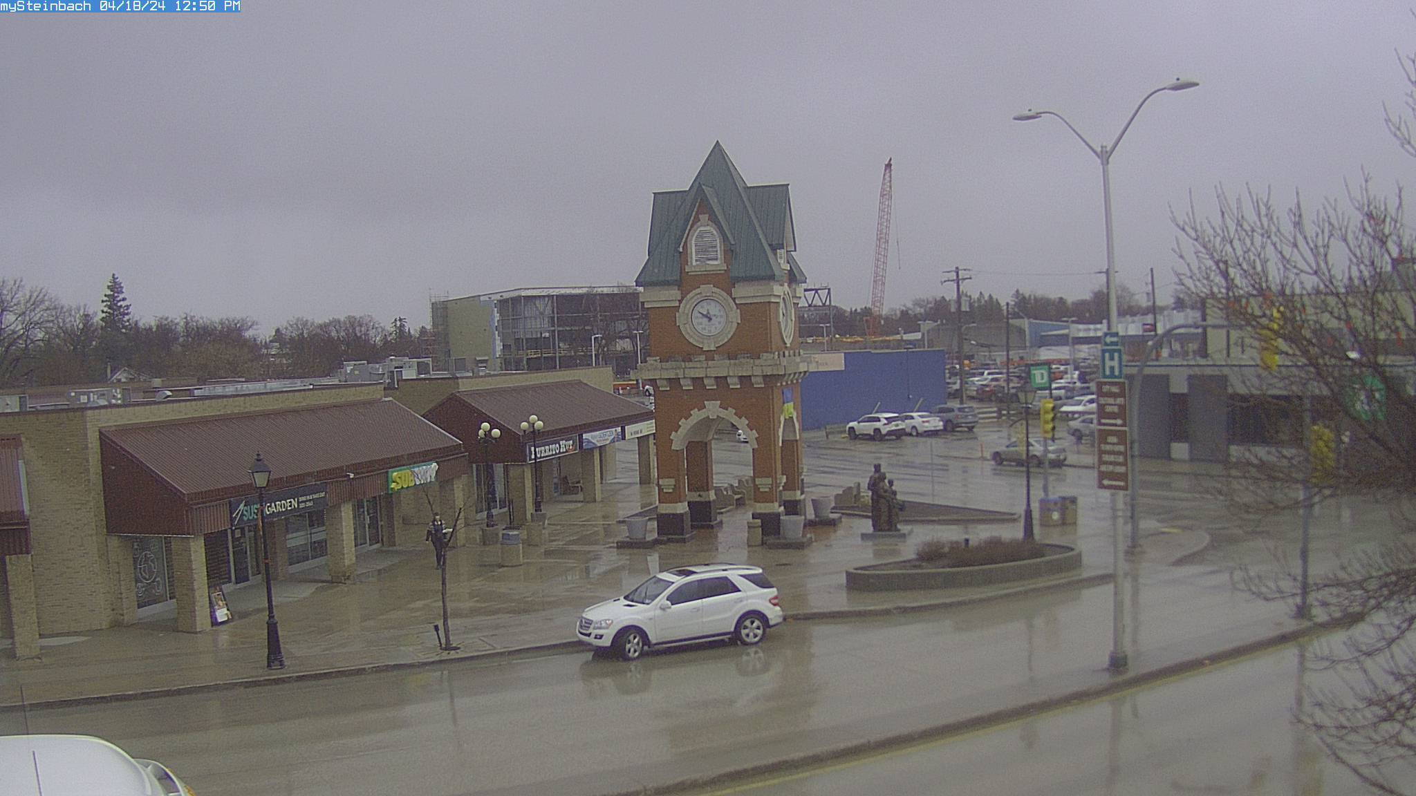
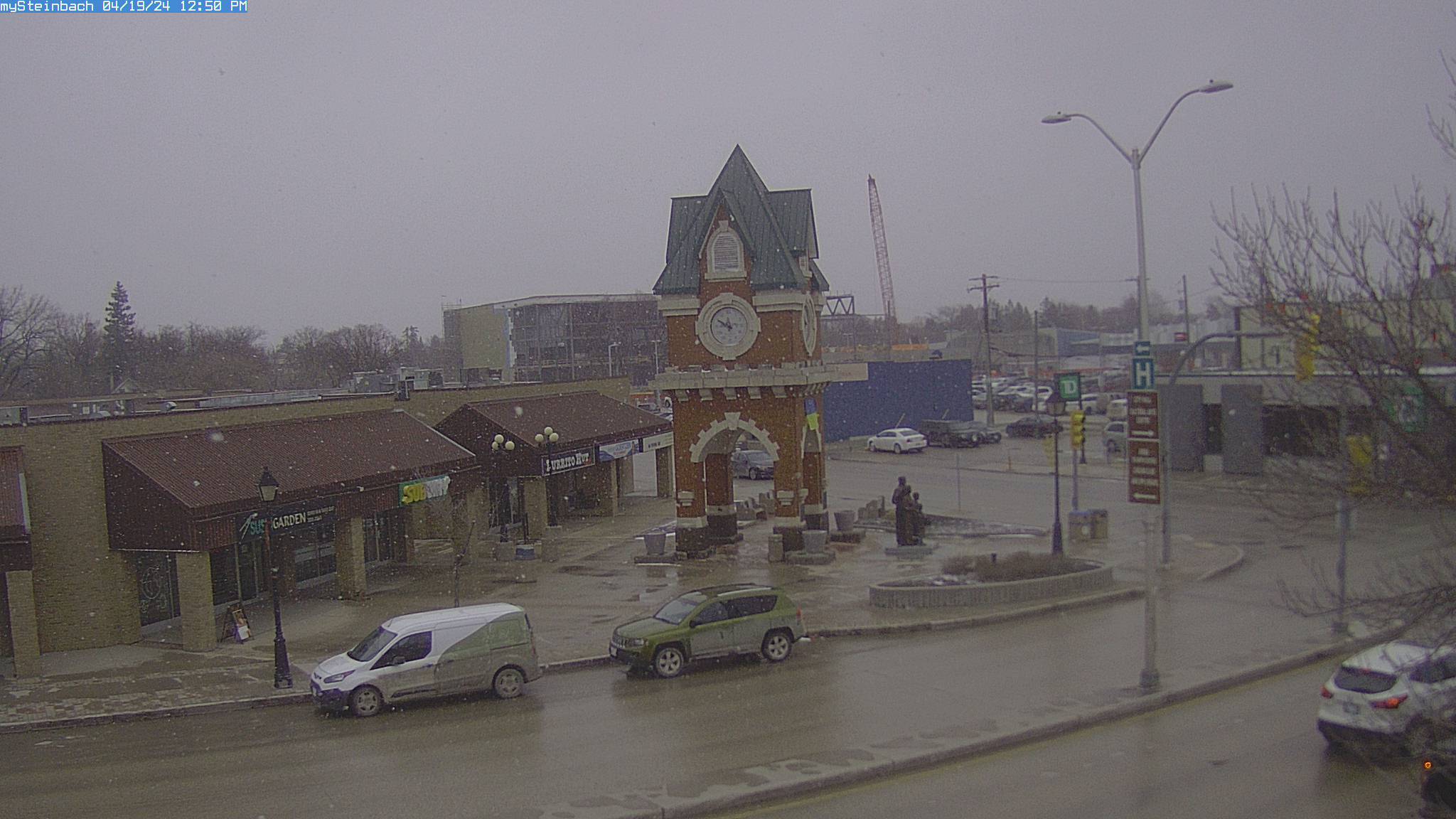
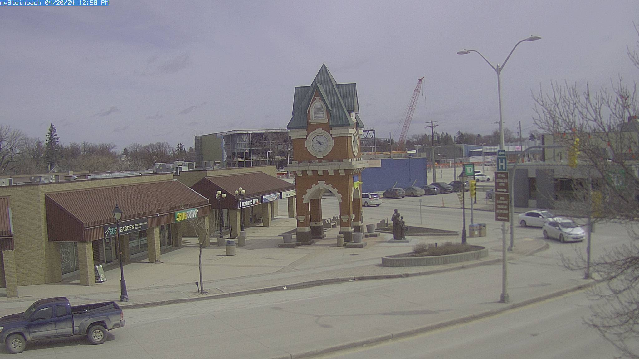
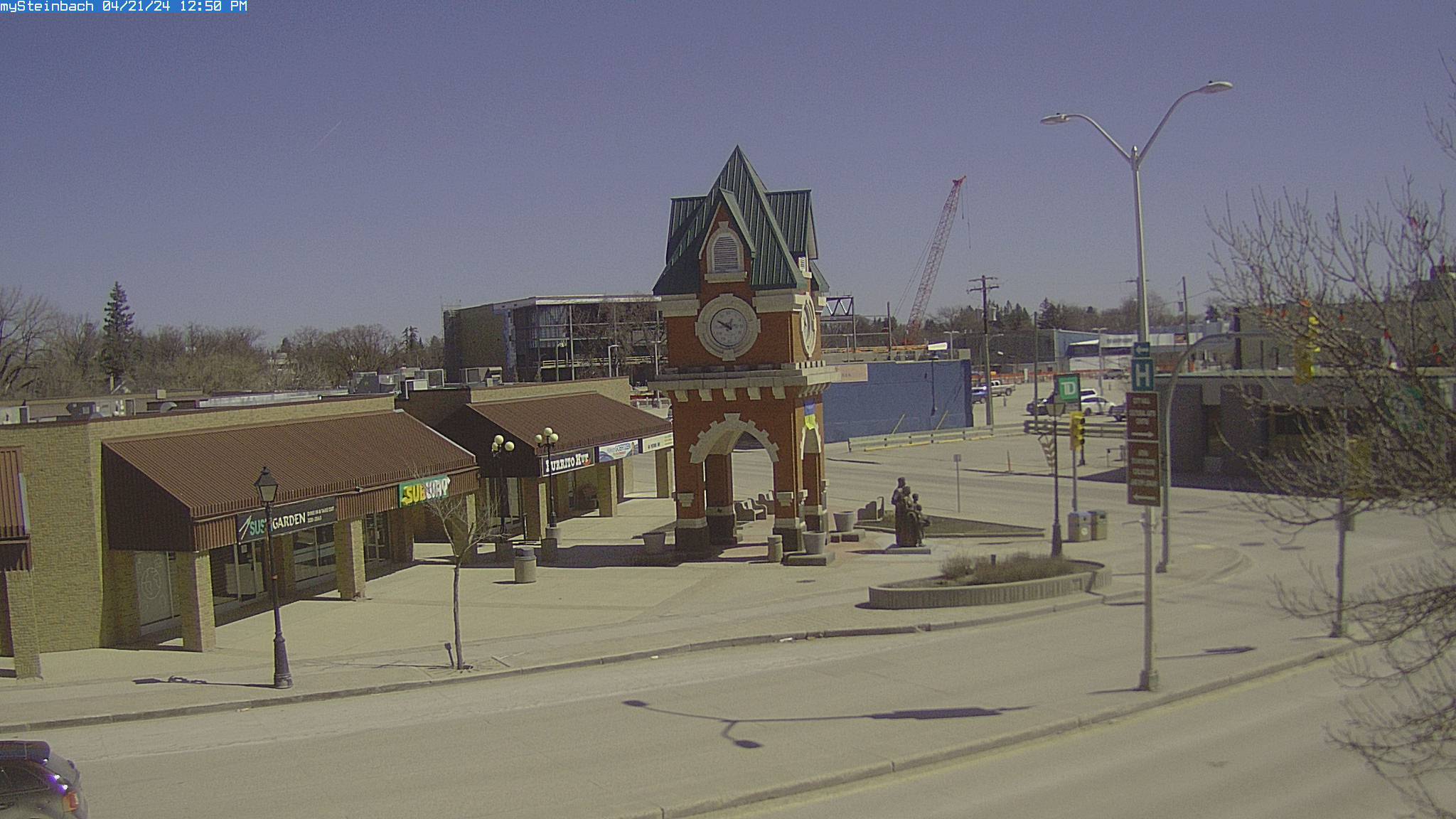
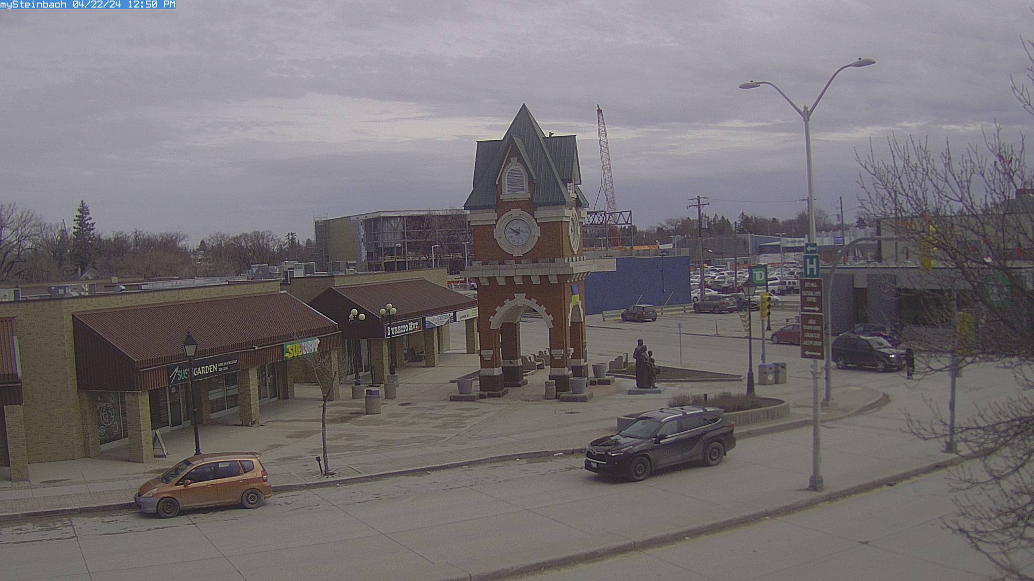
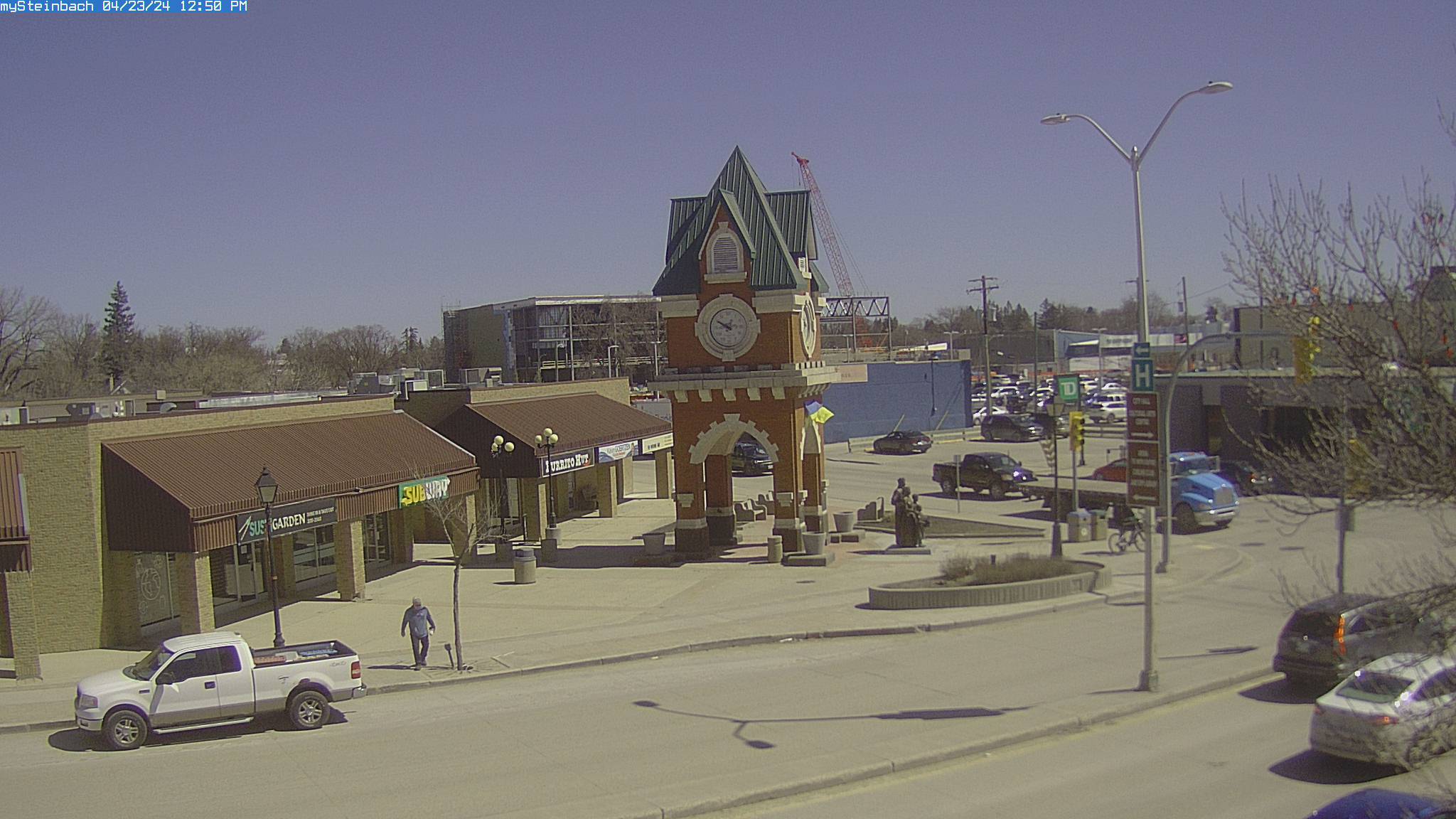
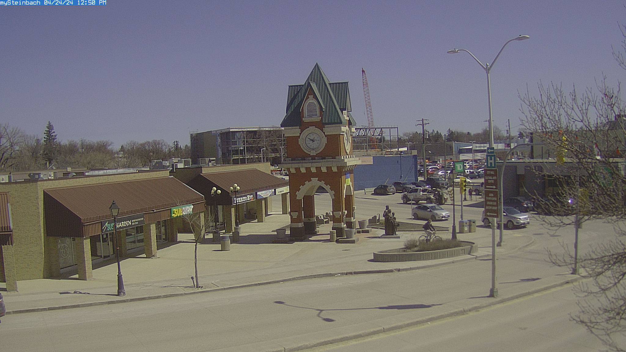
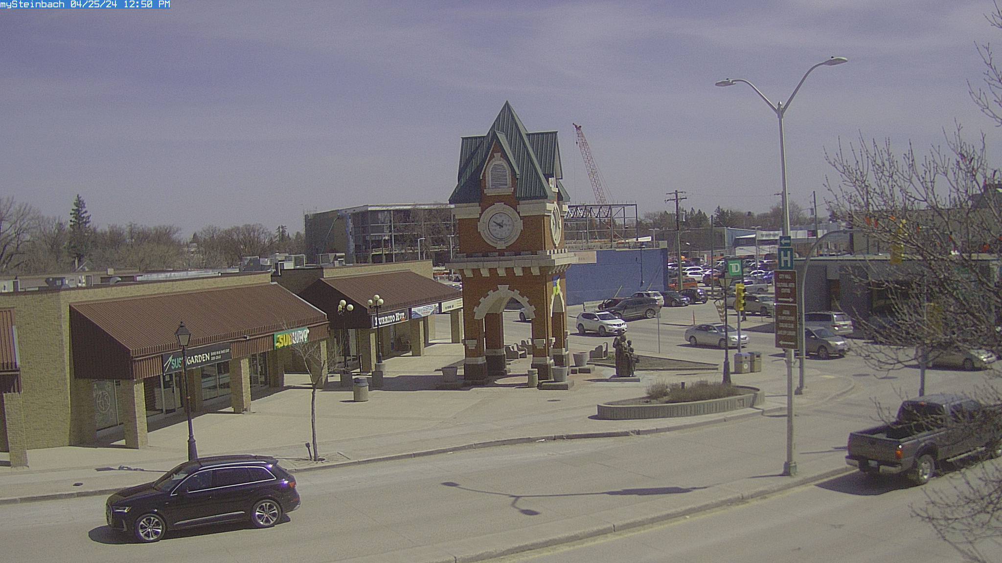
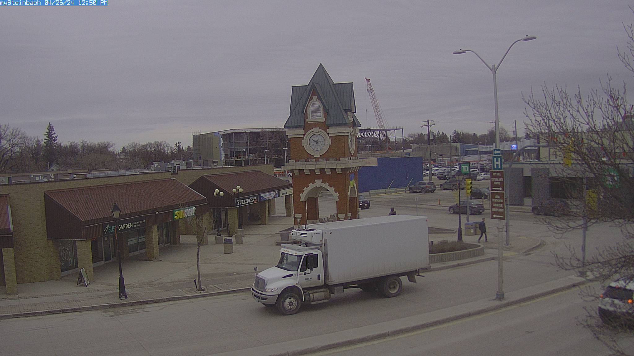
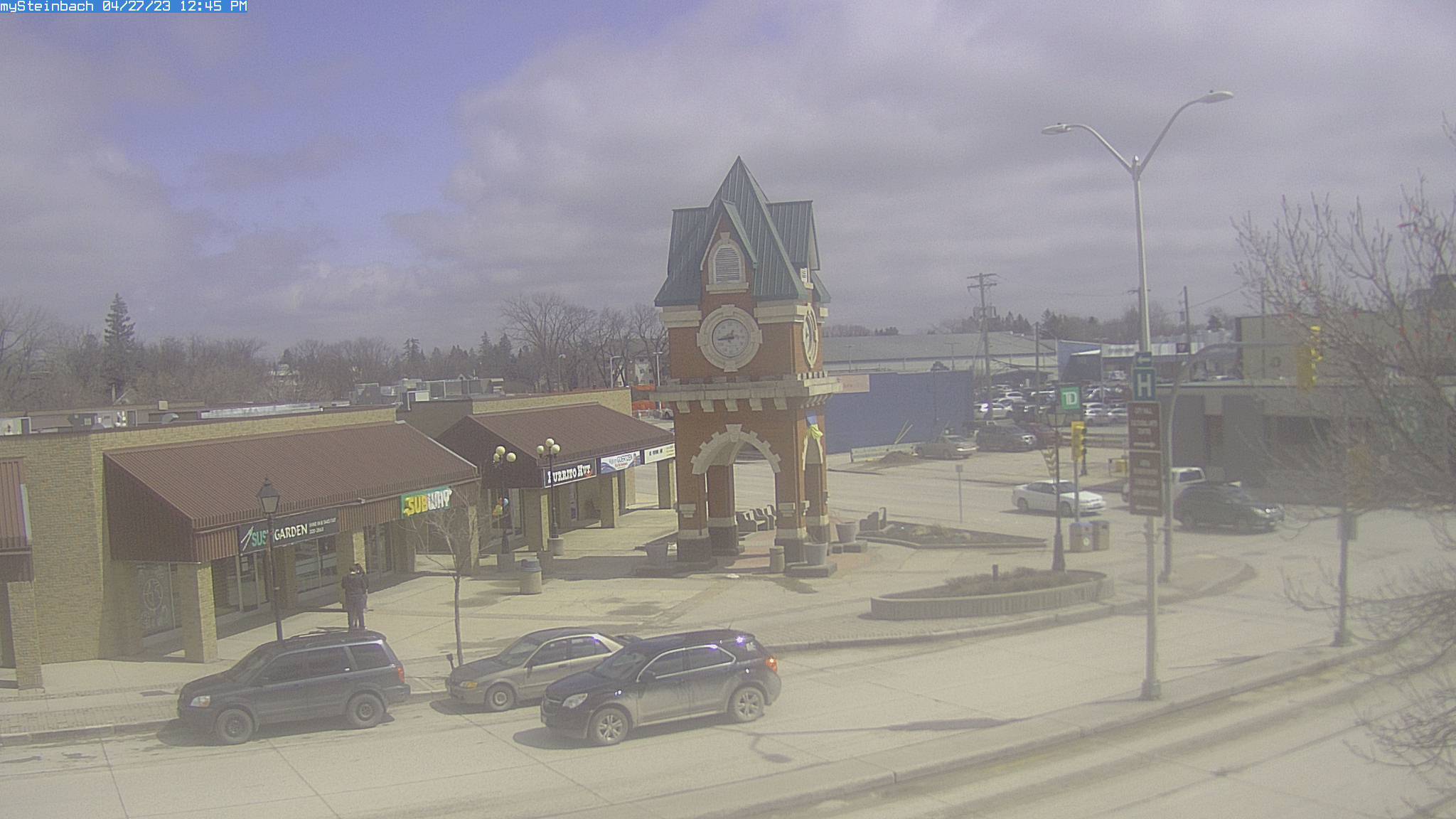
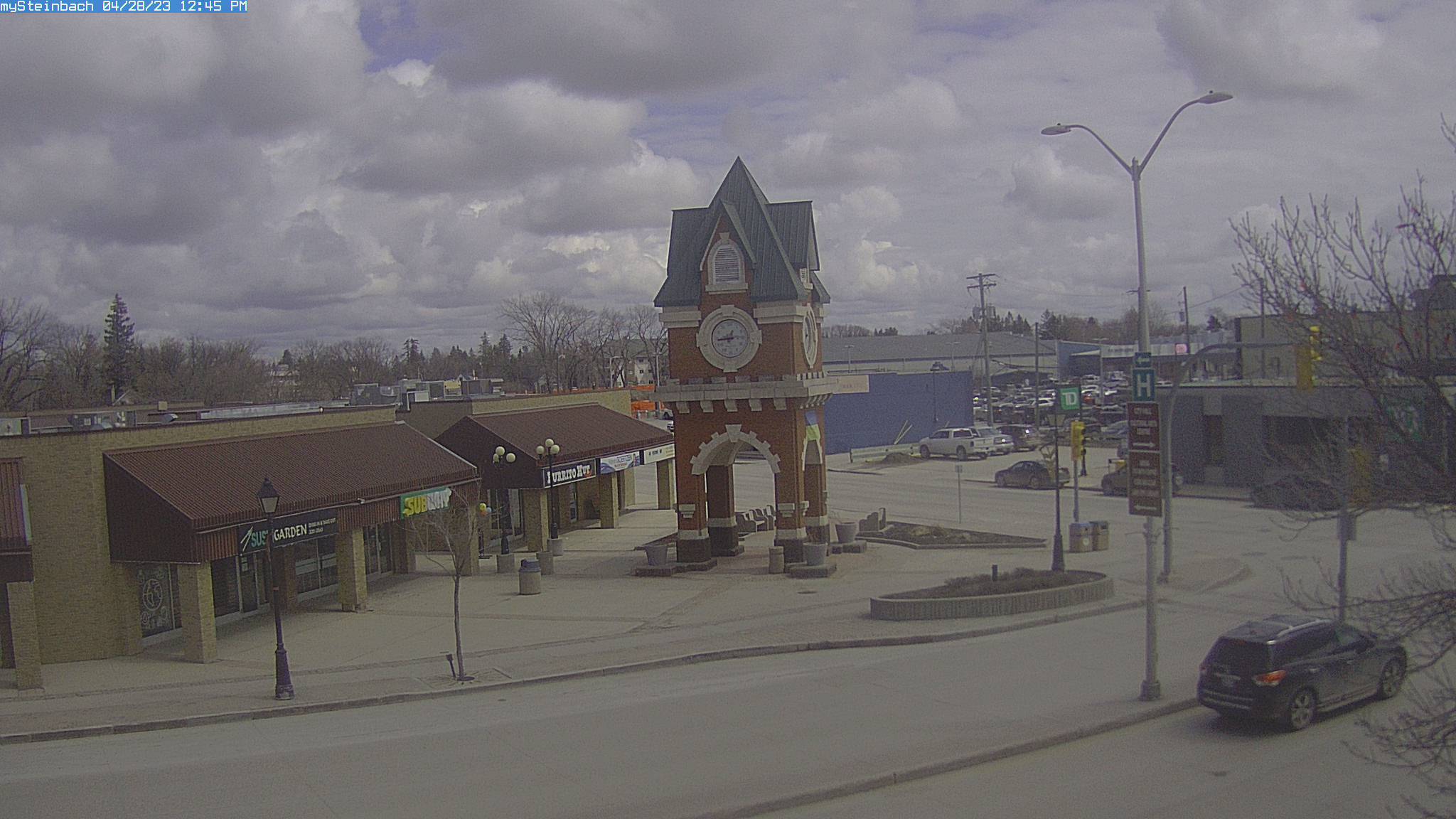
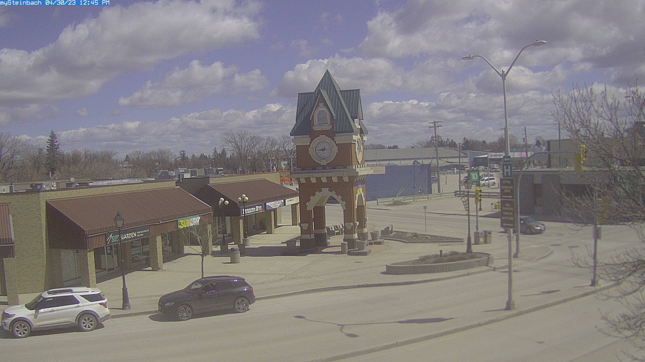
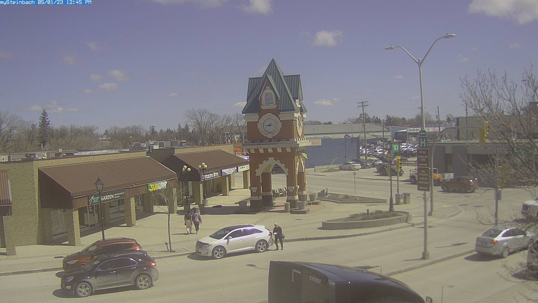
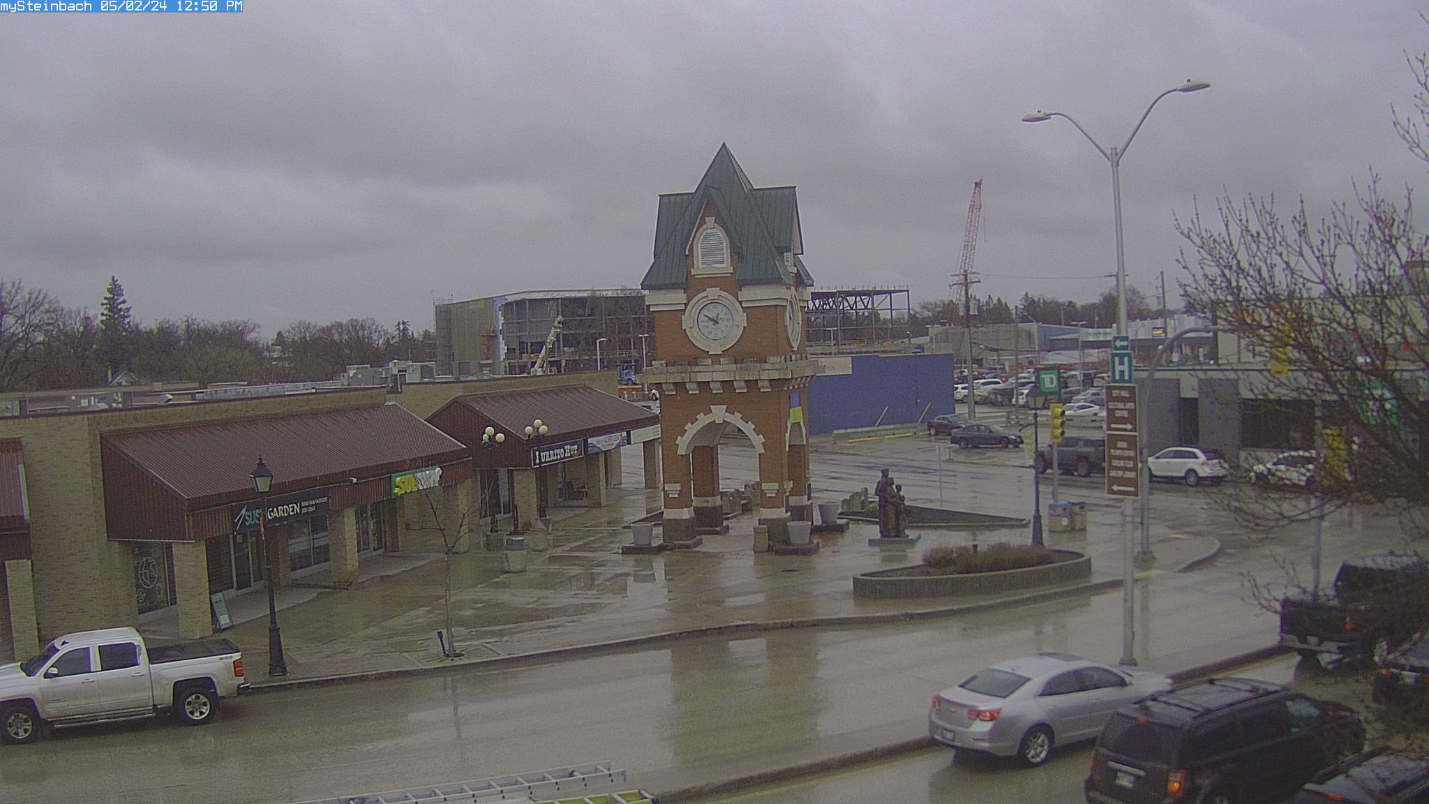
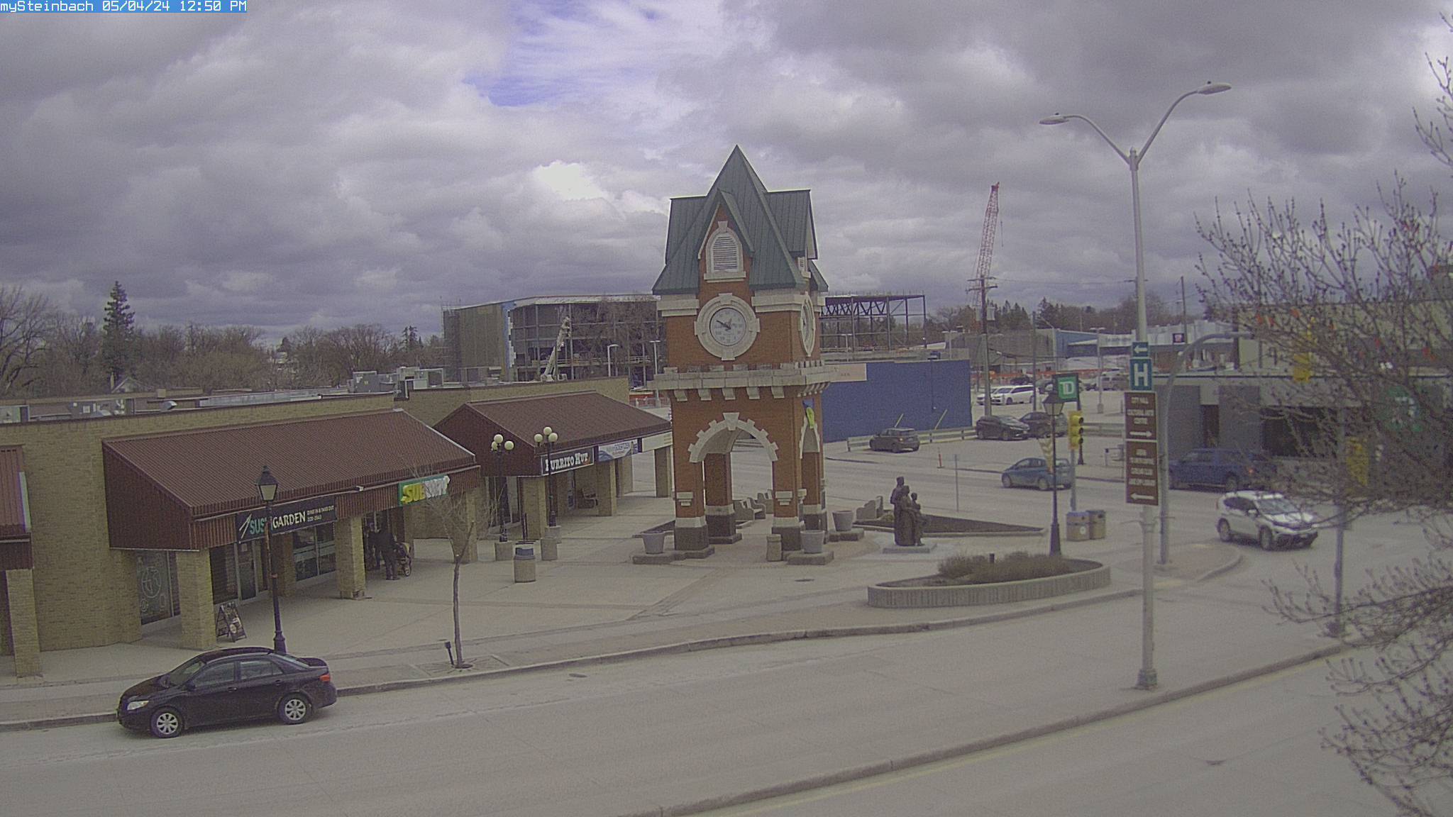
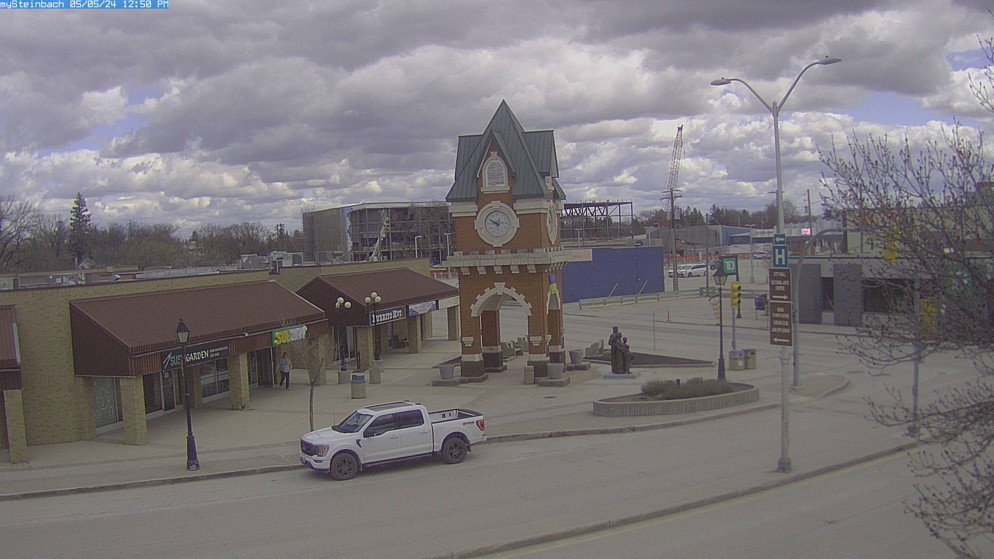
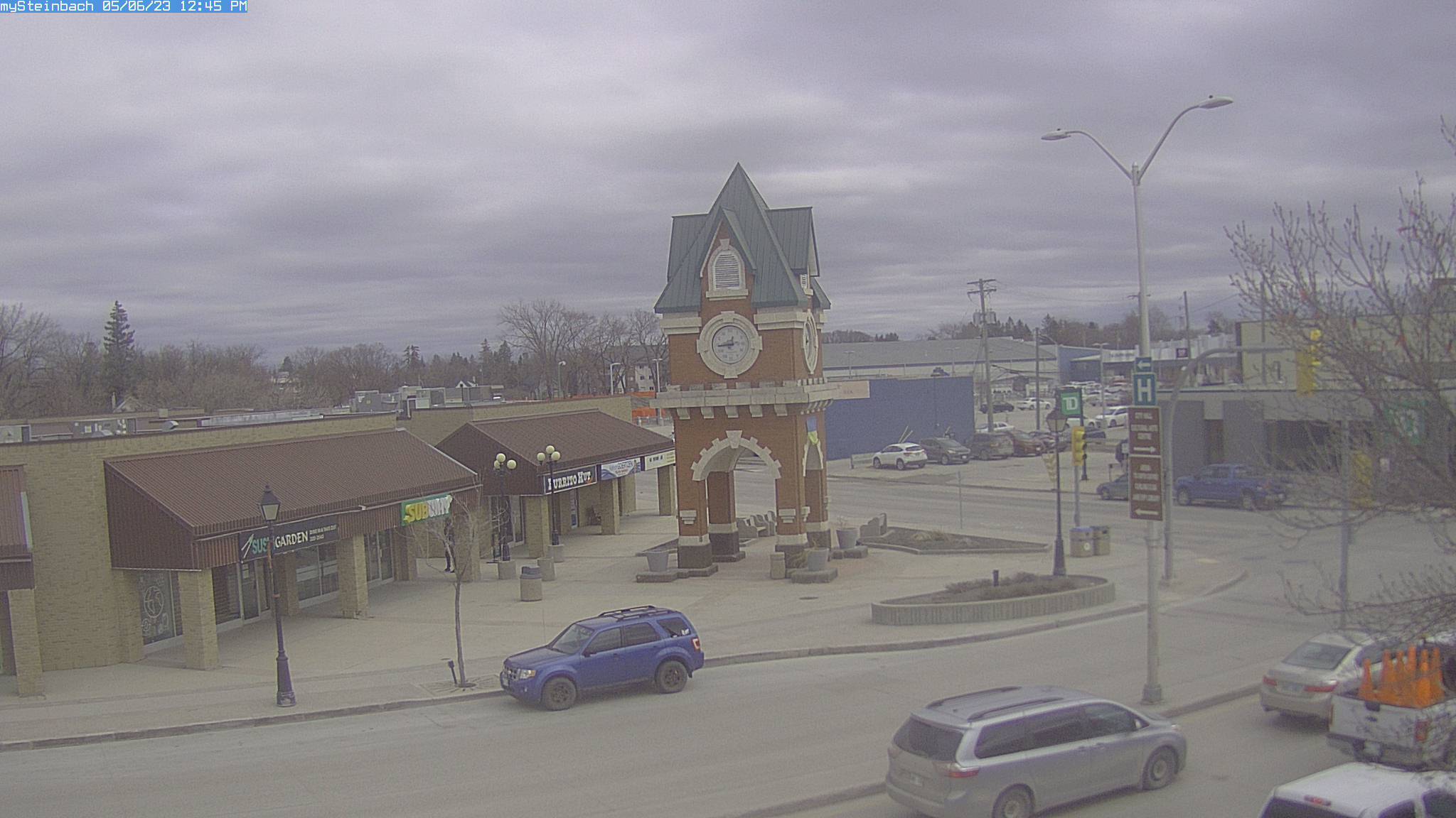
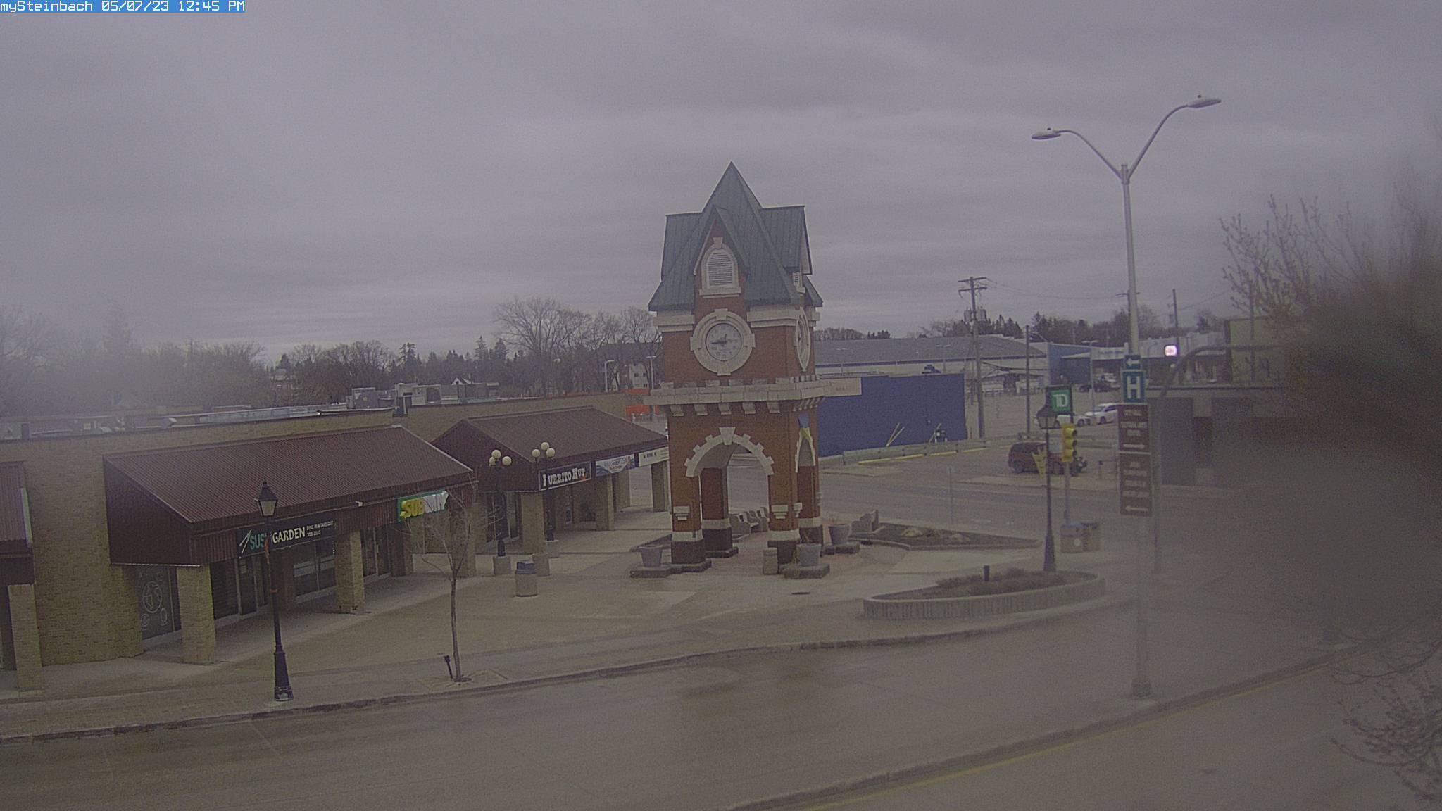
Steinbach, Canada - 292.2 miles from Summit: mySteinbach Web Cam - View of downtown Steinbach, Manitoba, Canada.
Operator: mySteinbach.ca
Operator: mySteinbach.ca


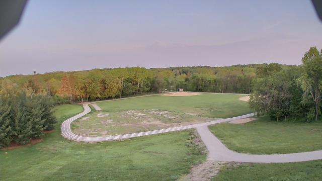
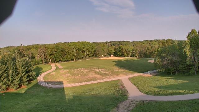
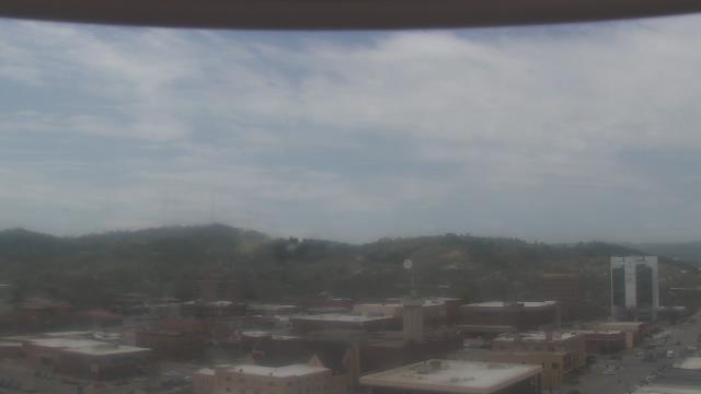
Porcupine, South Dakota, USA - 298 miles from Summit: Our Lady of Lourdes Elementary - A webcam in Porcupine, South Dakota - camera location: Our Lady of Lourdes Elementary.
Operator: WeatherBug
Operator: WeatherBug
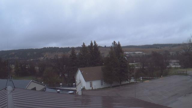
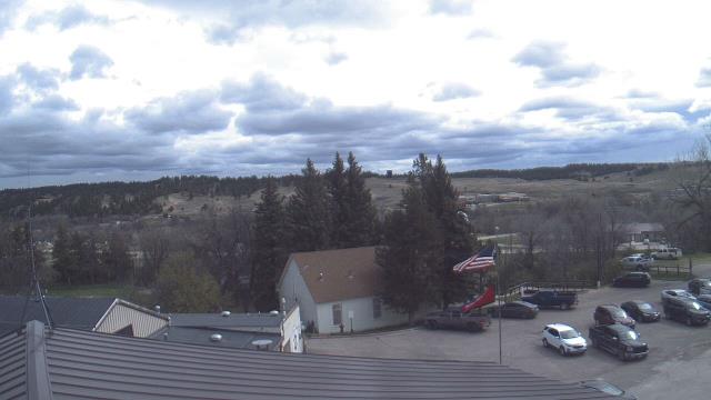
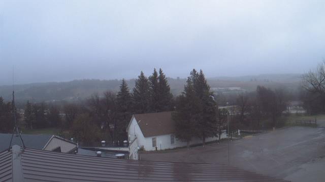
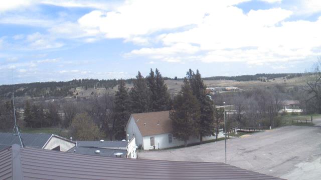
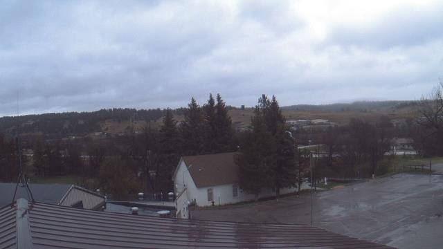
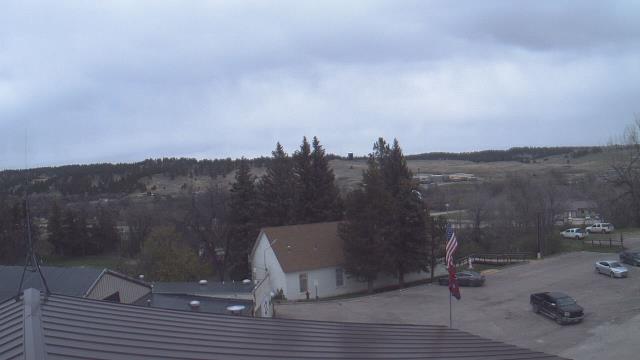
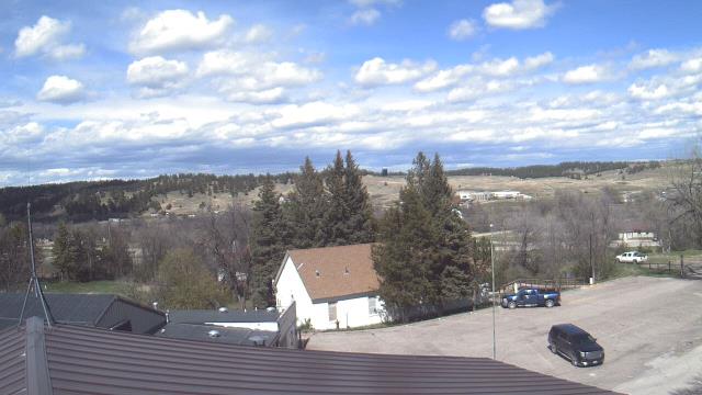
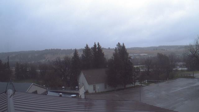
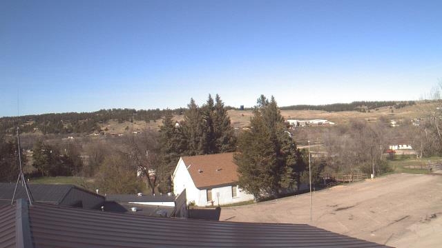
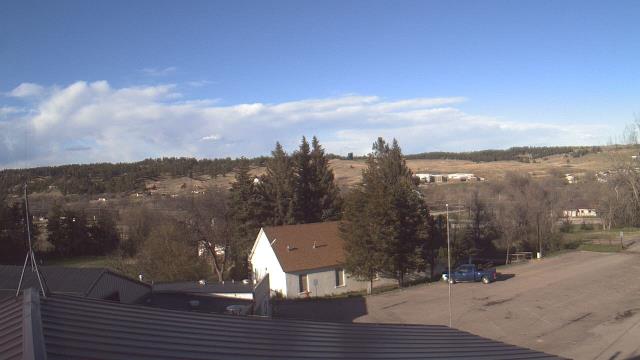
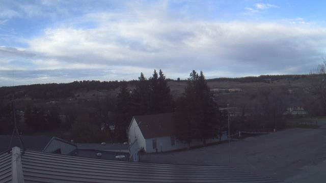


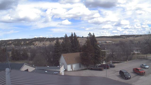
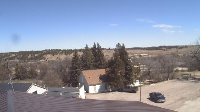
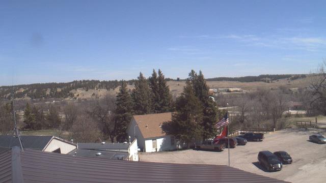
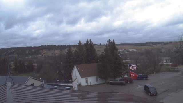
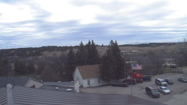
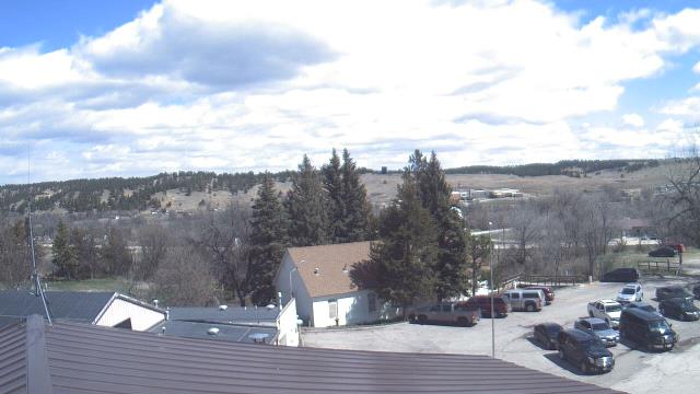
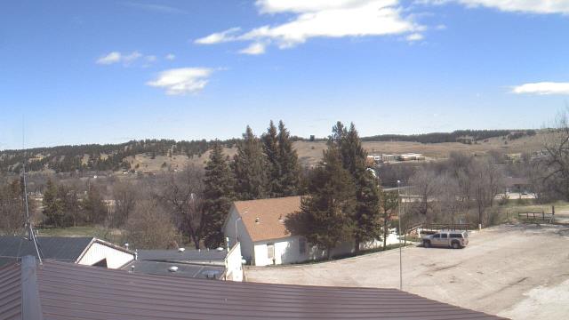
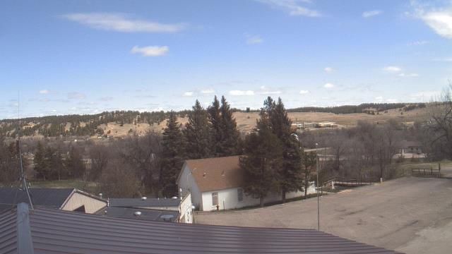
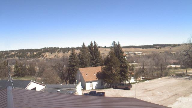
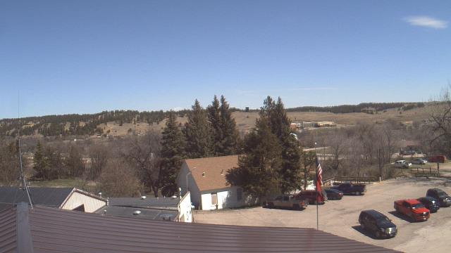
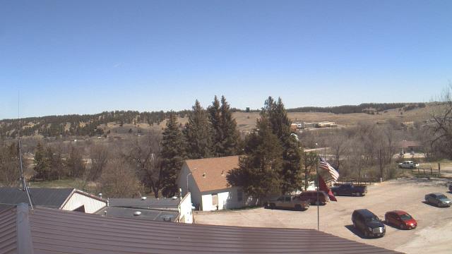
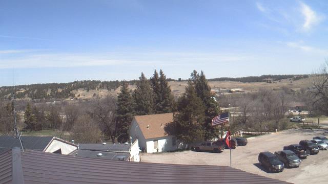
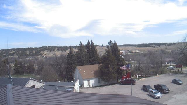
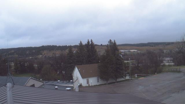
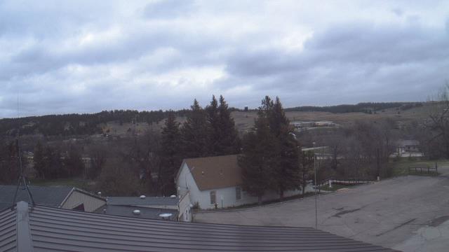
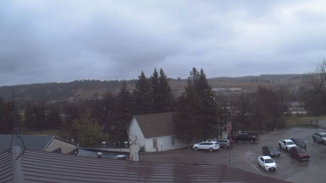
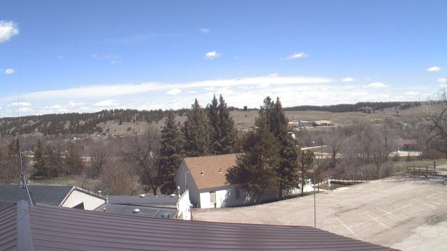
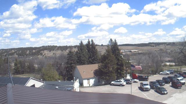

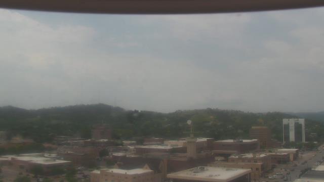
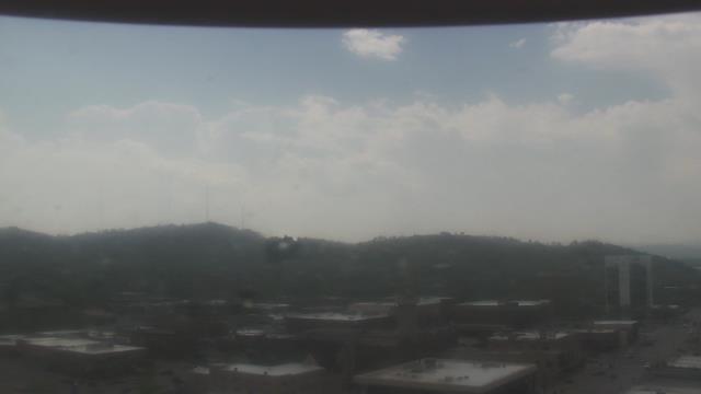
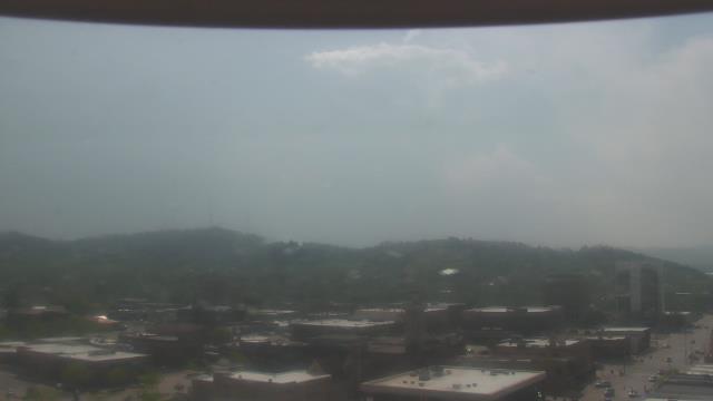
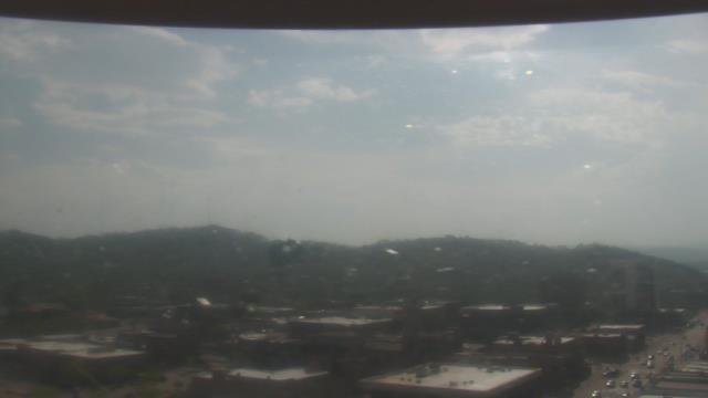
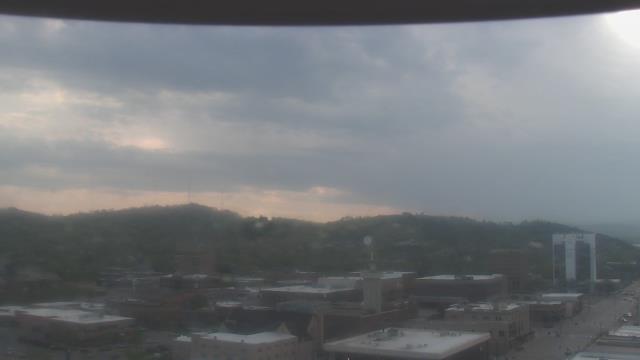
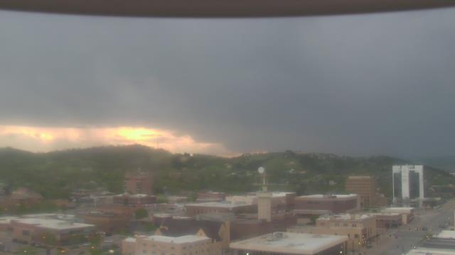
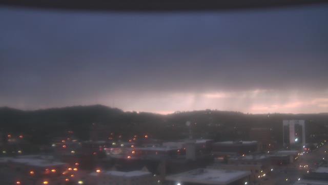
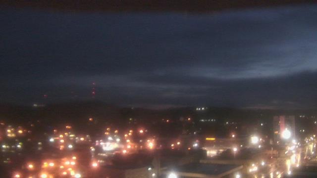
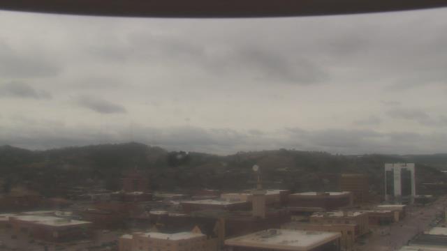
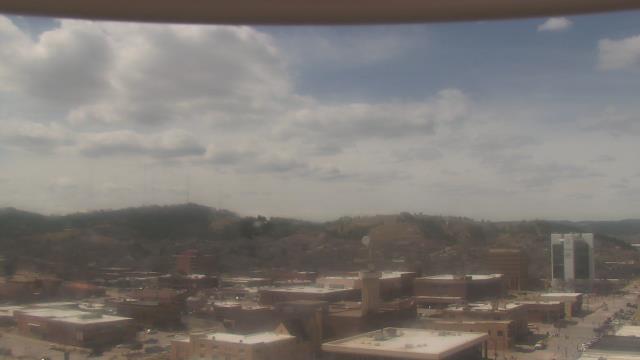
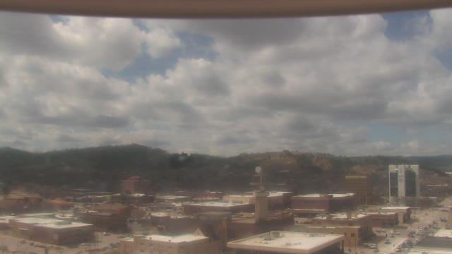
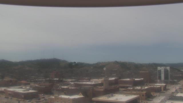
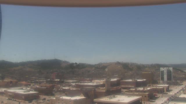
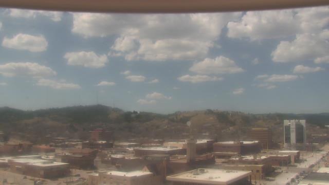
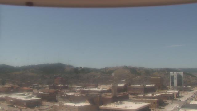
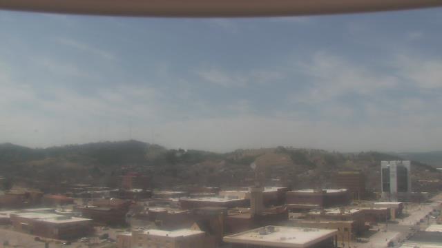
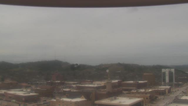
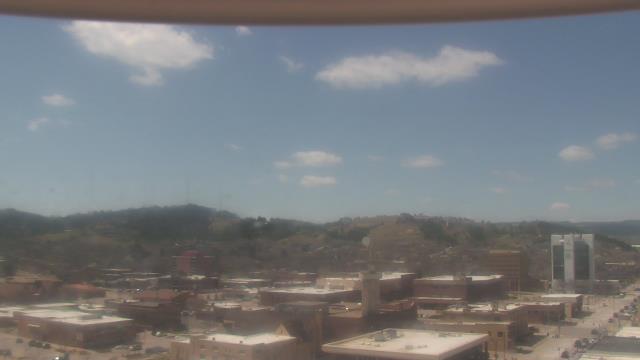
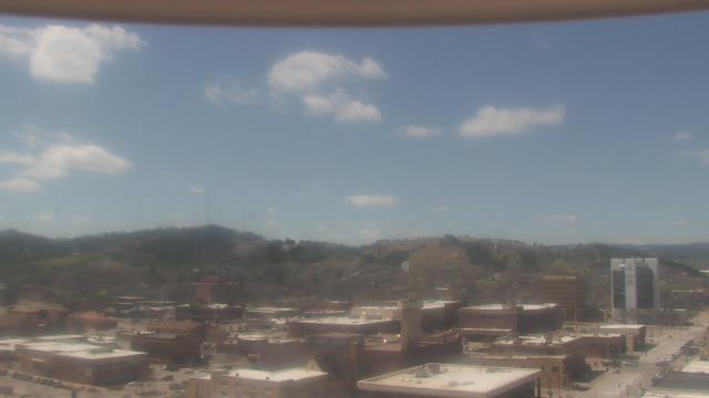
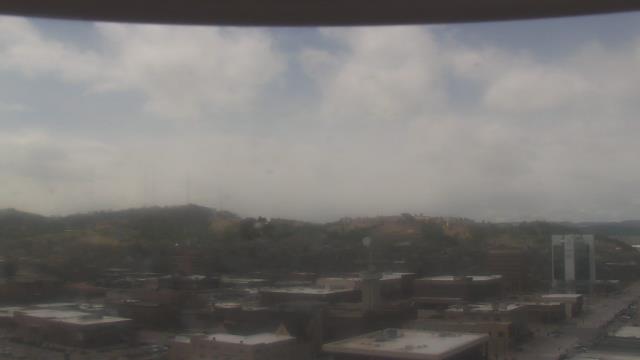
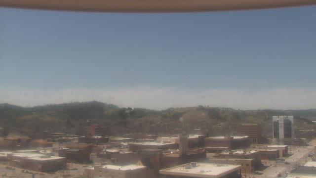
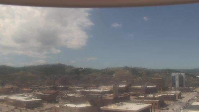
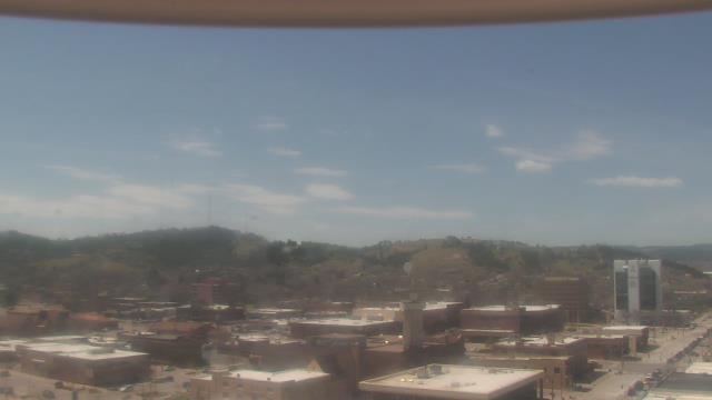
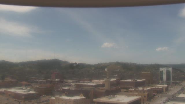
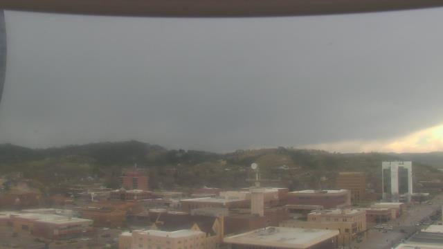
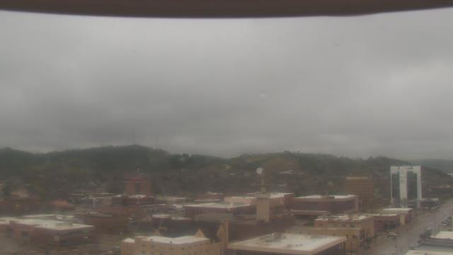
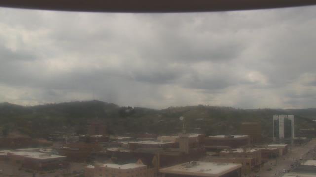
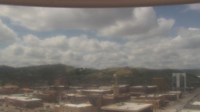
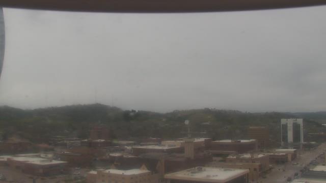
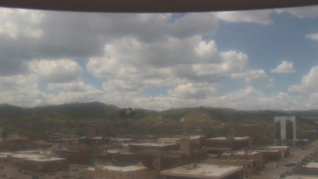
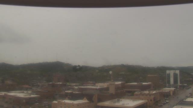
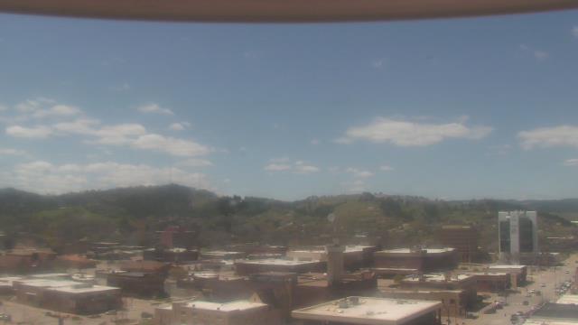
Rapid City, South Dakota, USA - 315.7 miles from Summit: KOTA-TV - A webcam in Rapid City, South Dakota - camera location: KOTA-TV.
Operator: WeatherBug
Operator: WeatherBug


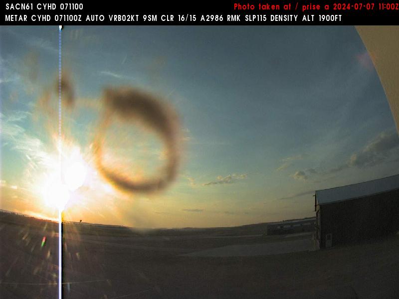
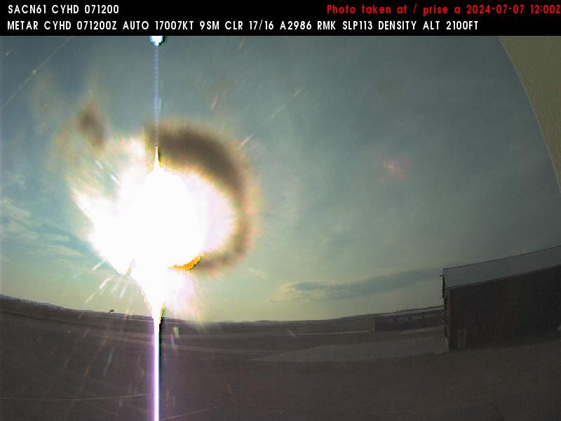
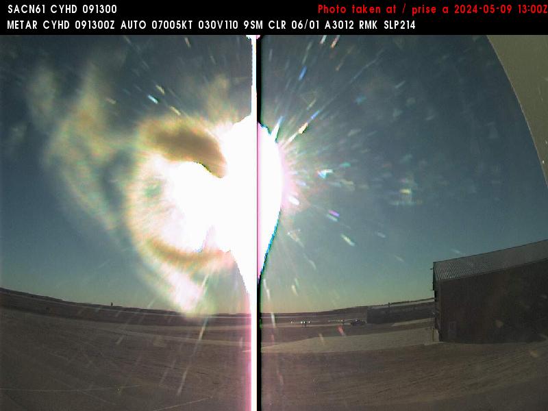
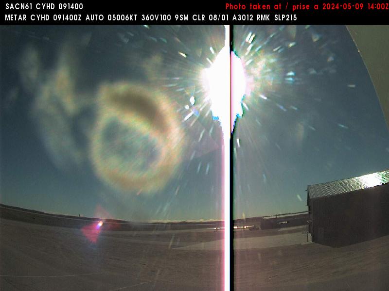
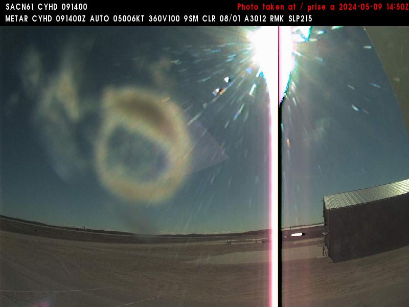
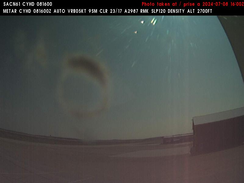
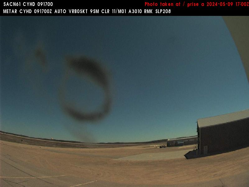
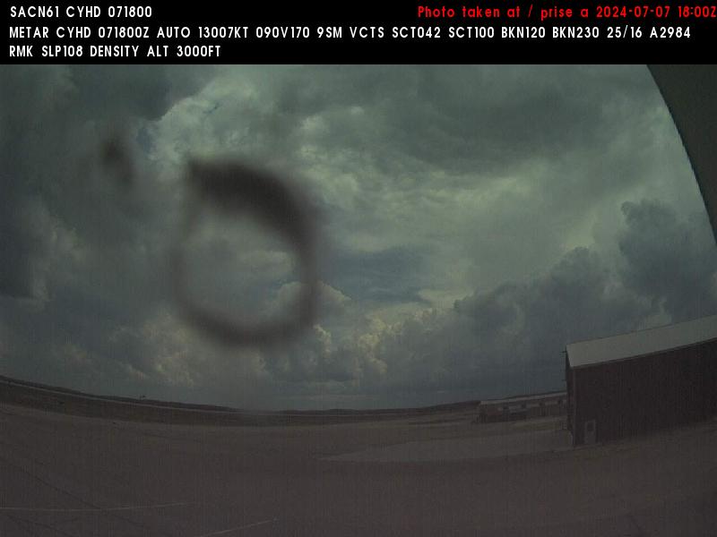
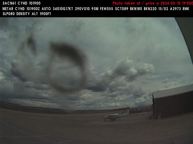
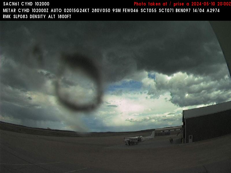
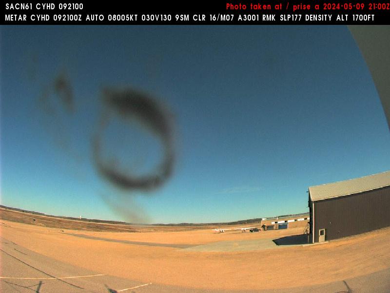
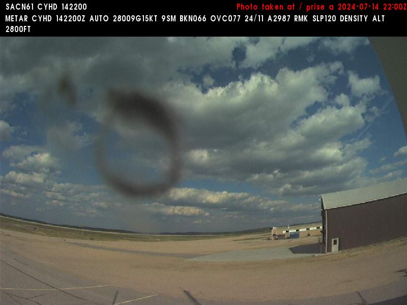
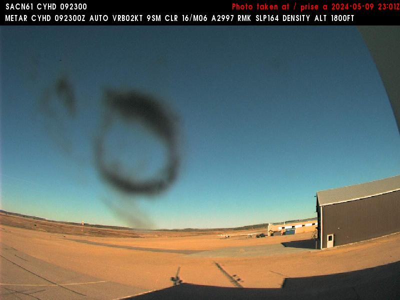
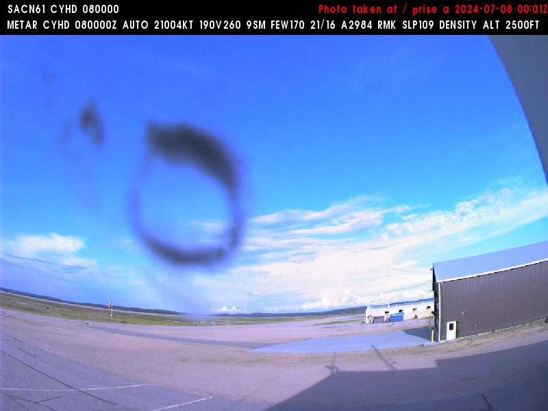
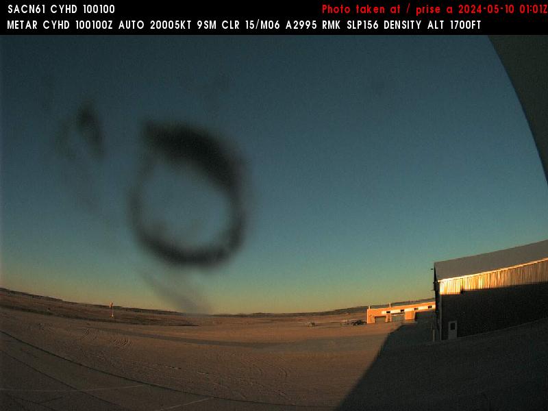
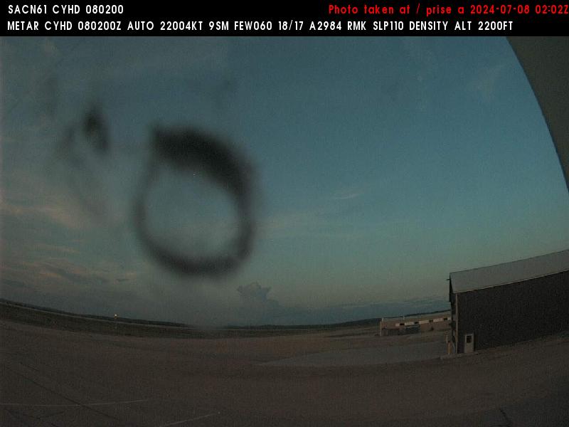
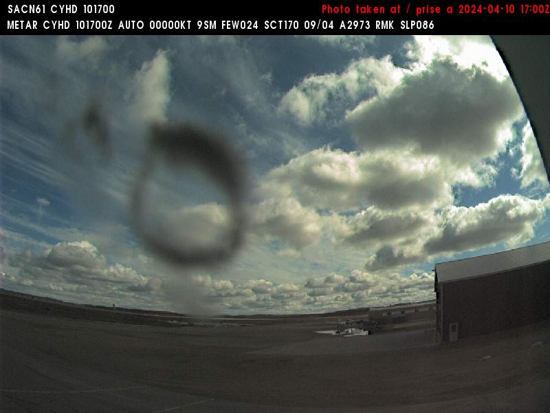
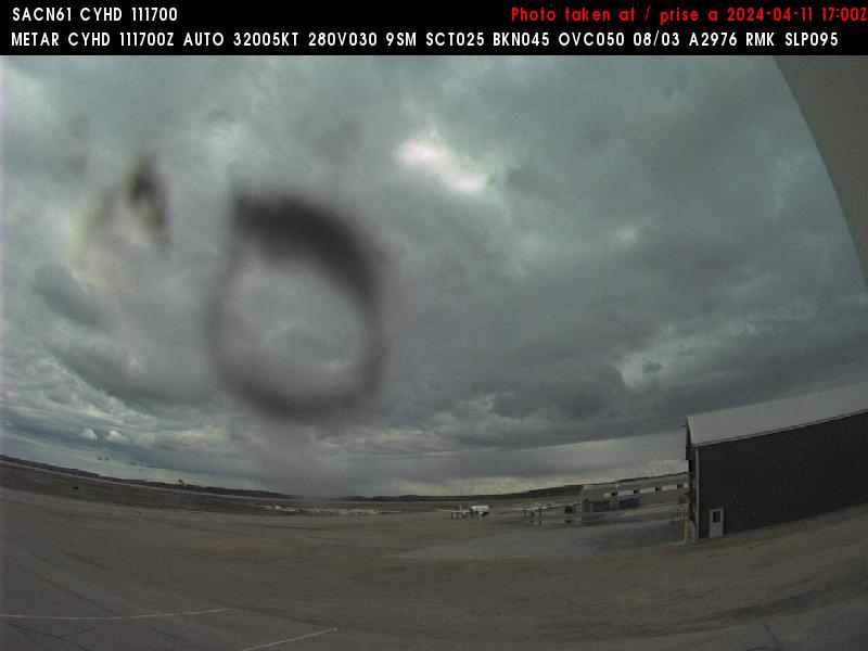
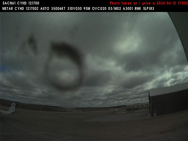
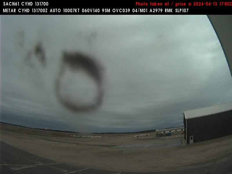
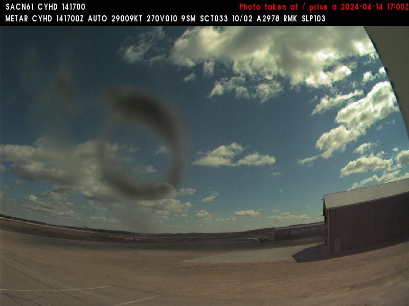
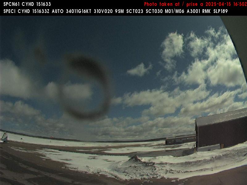
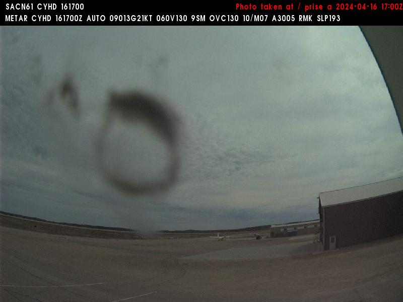
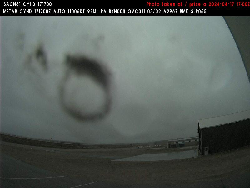
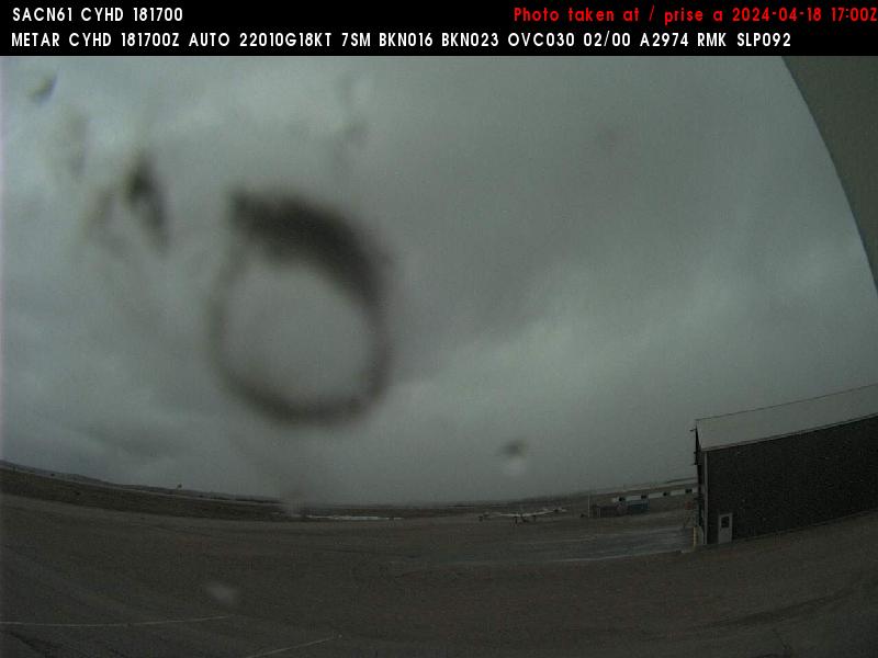
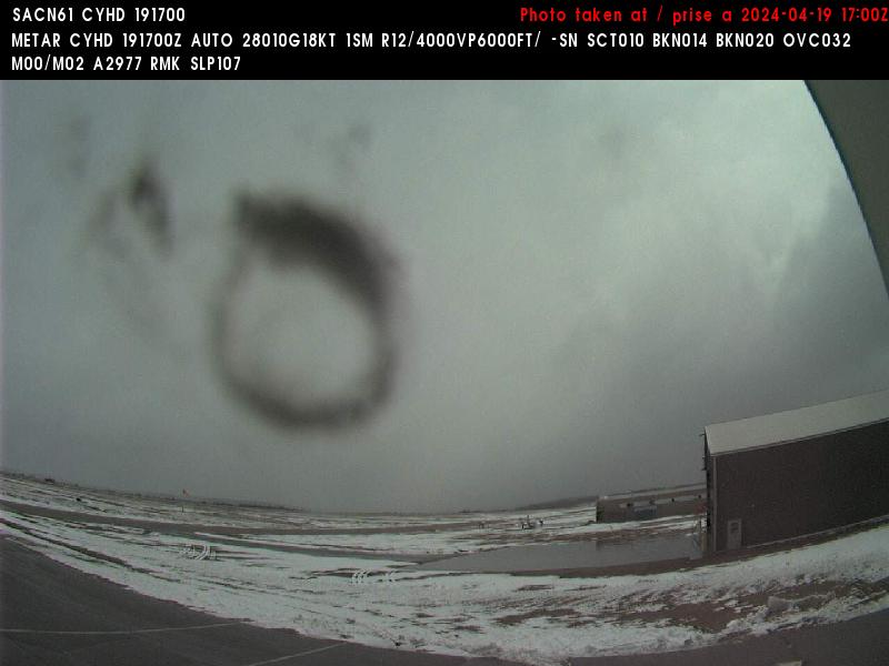
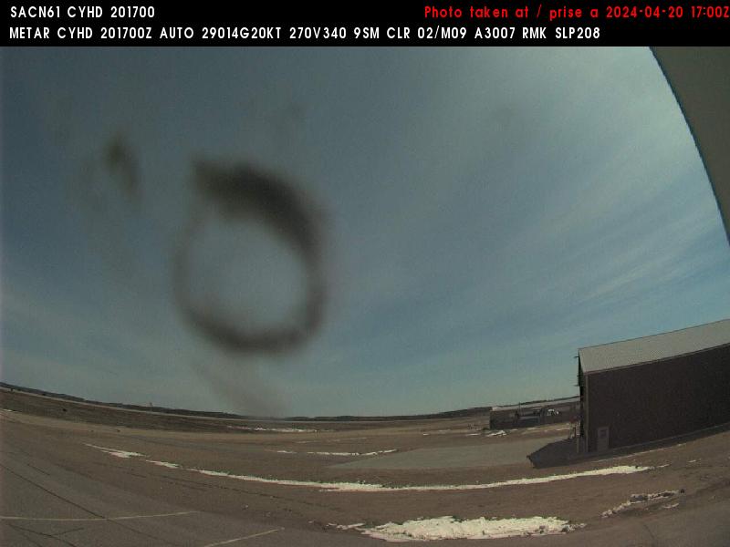
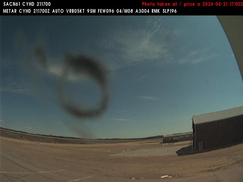
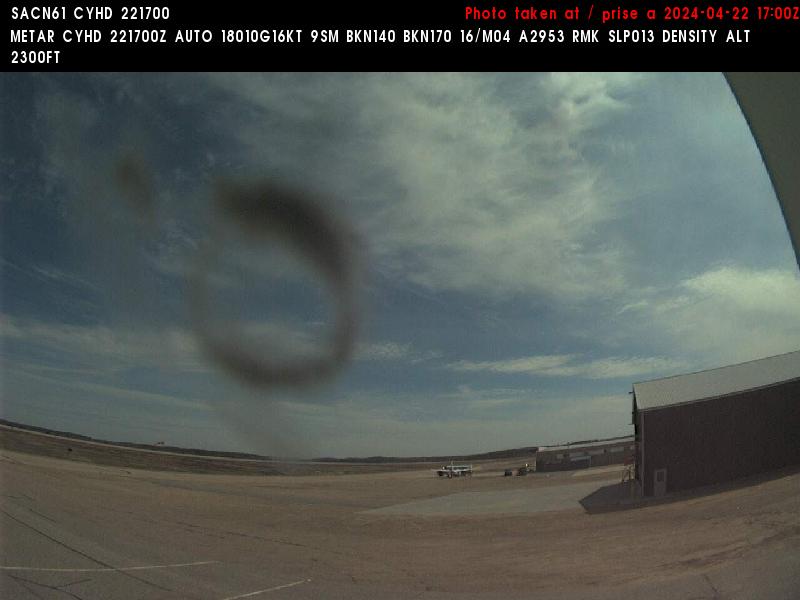
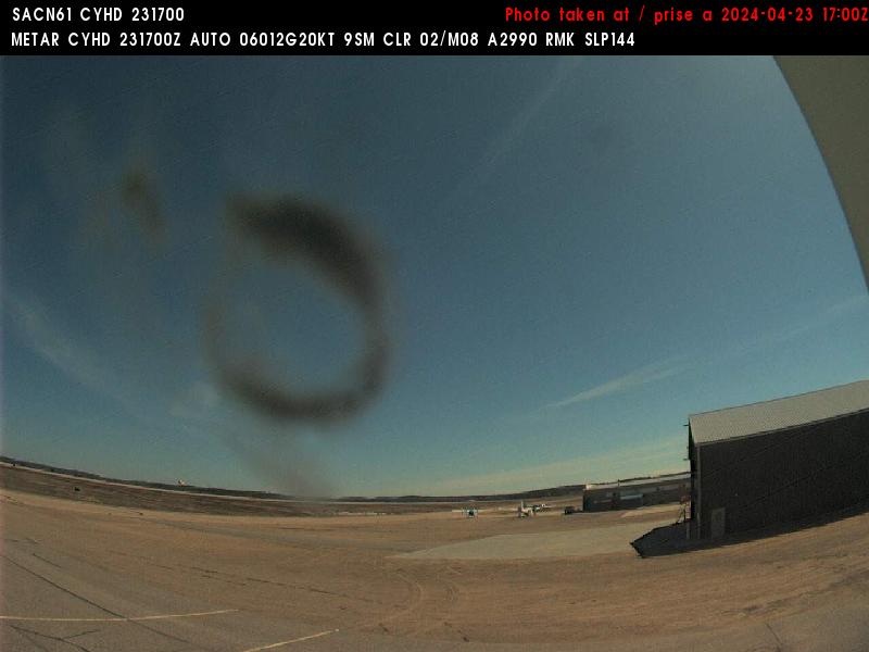
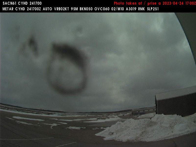
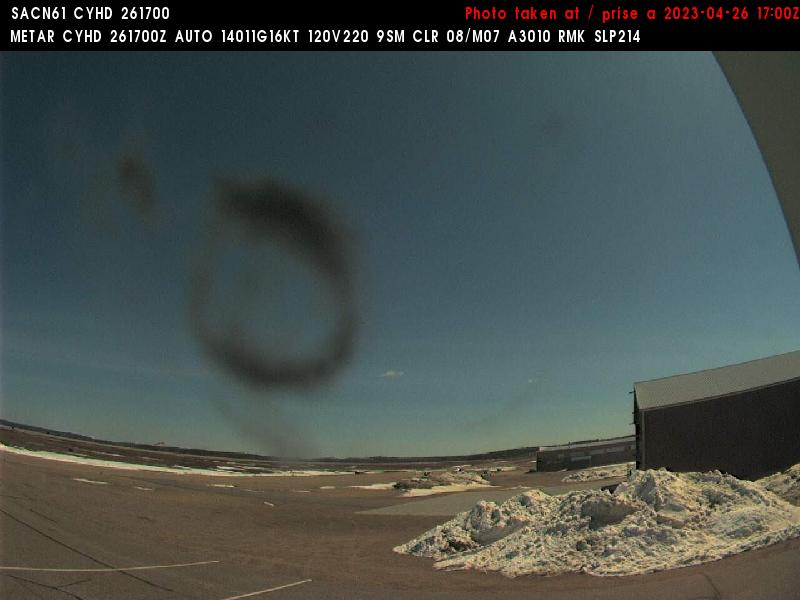
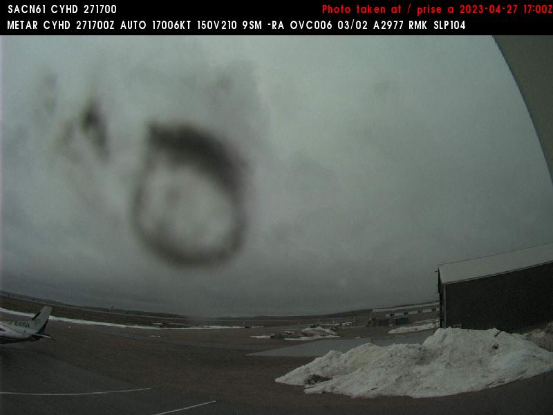
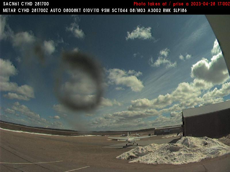
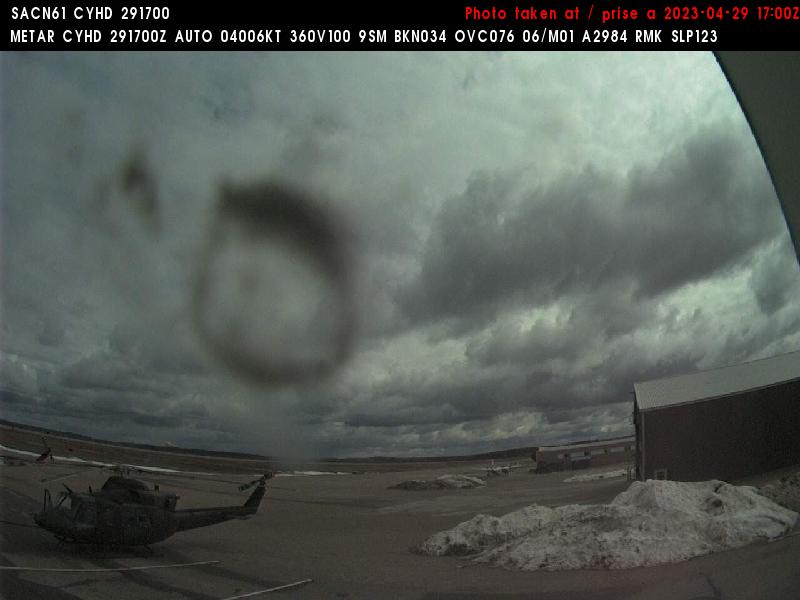
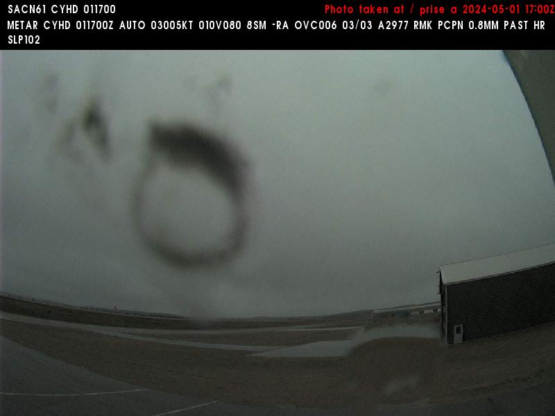
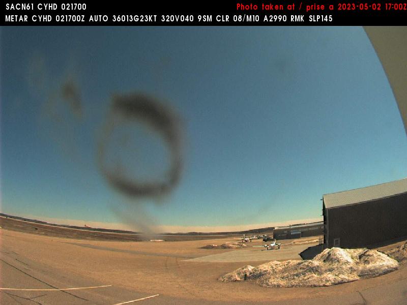
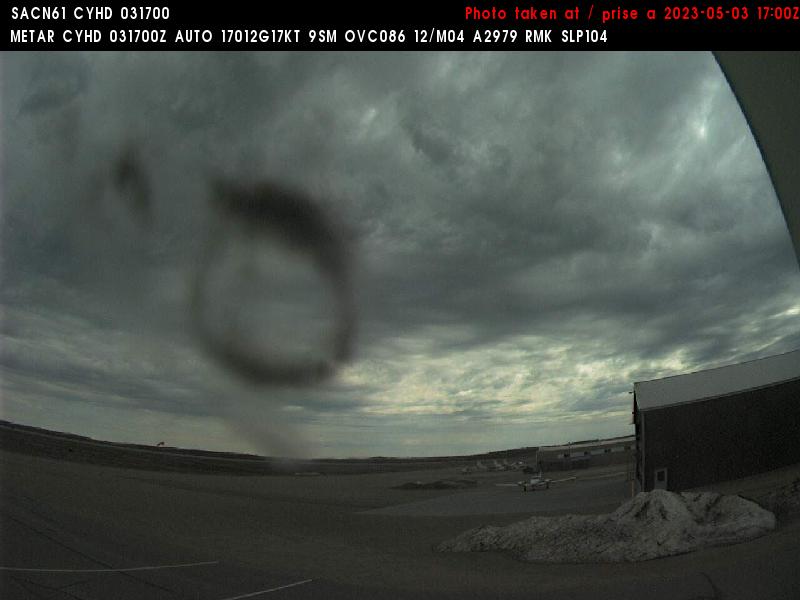
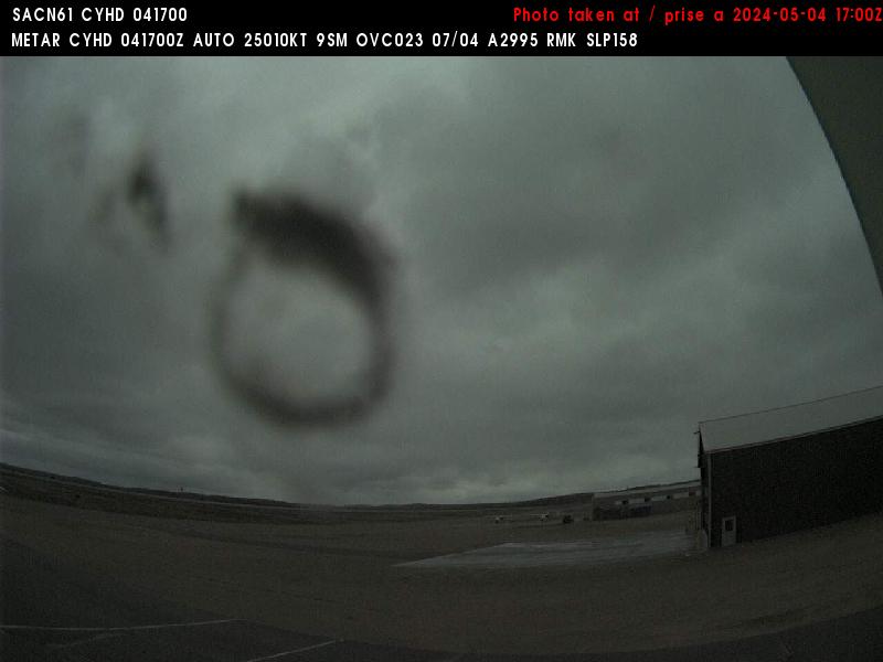
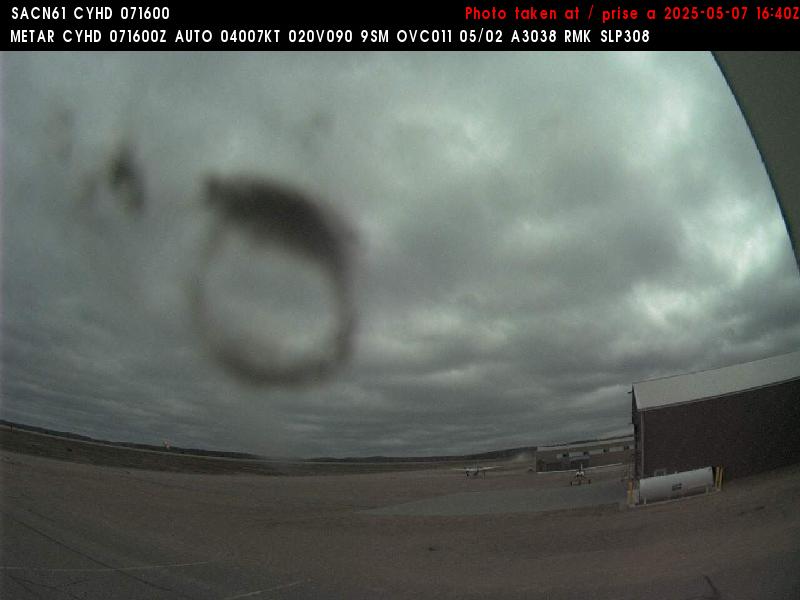
Dryden, Canada - 365.9 miles from Summit: Dryden Regional Airport (CYHD) - A view in eastern direction.
Operator: NAV CANADA
Operator: NAV CANADA


Some other places in this country: Ramona - Turton - Warbonnet - Waubay - Wounded Knee - Chase - Dupree - Kyle - Lakota Homes - Allison Crossing