Webcams in the region of Lavadoure (historical), Oregon, USA
The List of Webcams near Lavadoure (historical), Oregon, USA:

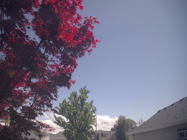
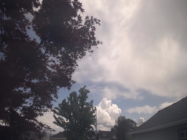
Medford, Oregon, USA - 44.2 miles from Lavadoure (historical): Medford Weathercam - A live view from Medford, Oregon, with current weather data.
Operator: Ryan's Weather Website - Medford, Oregon
Operator: Ryan's Weather Website - Medford, Oregon


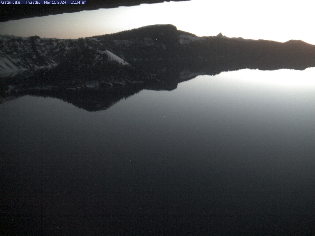
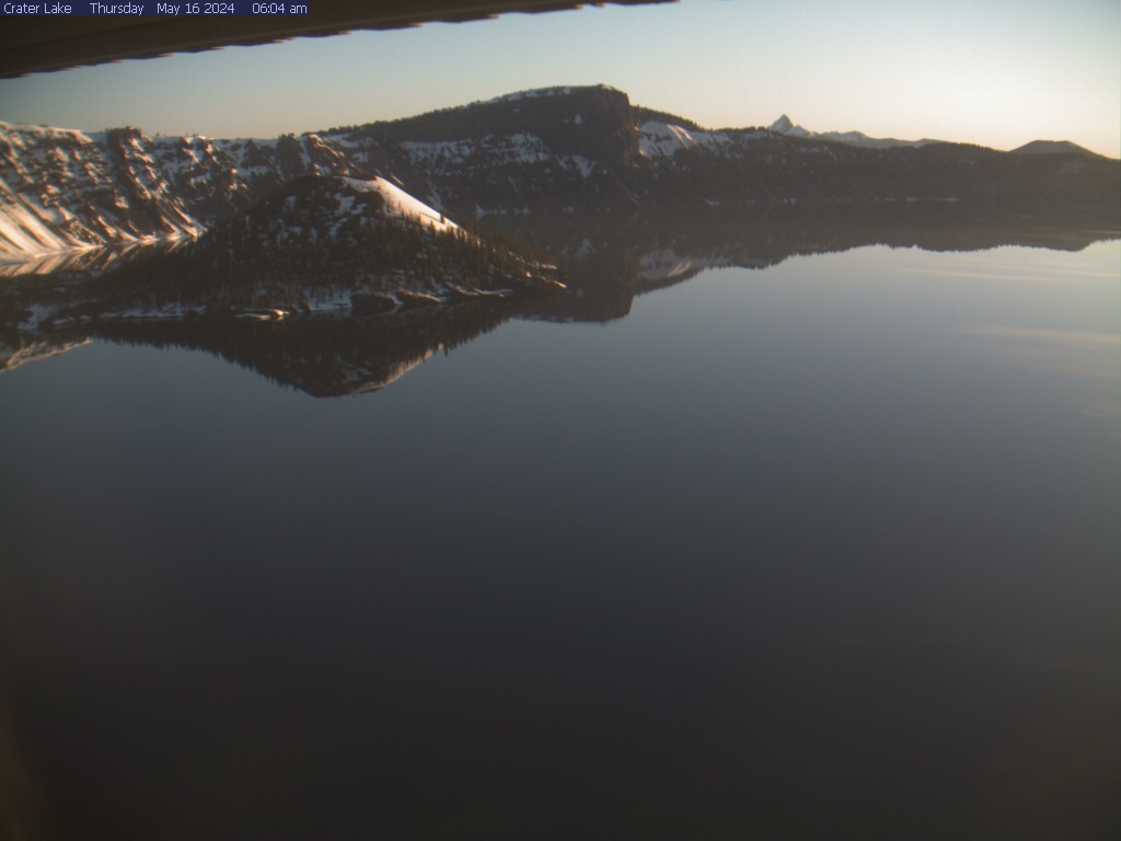
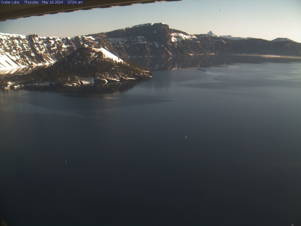
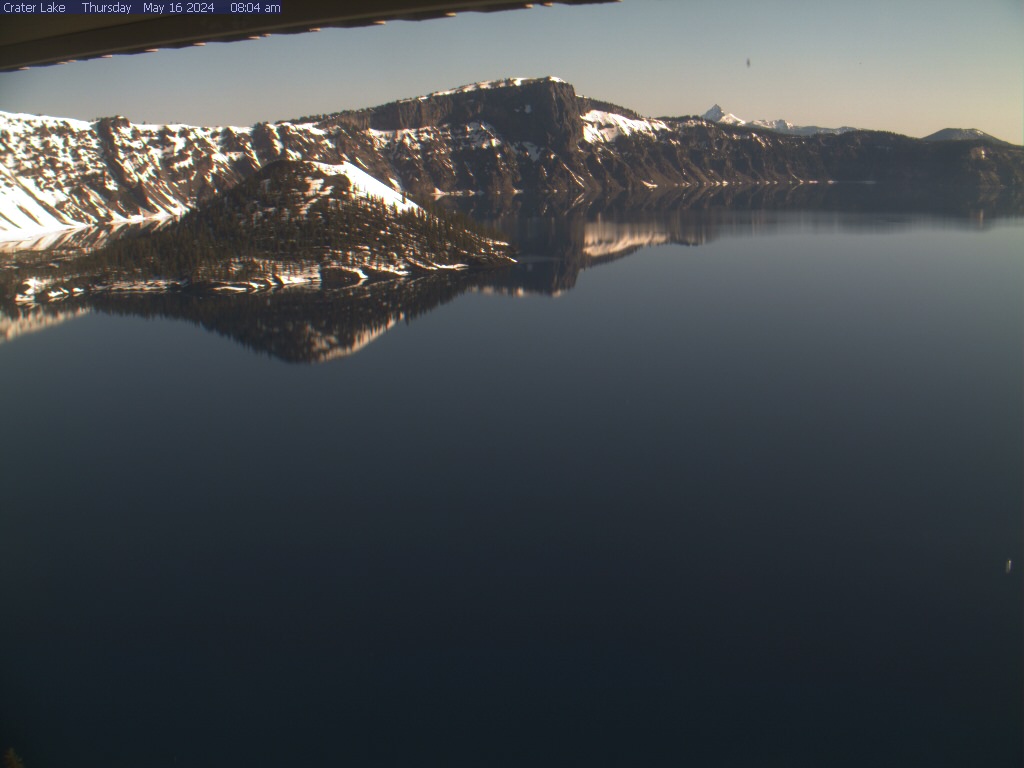
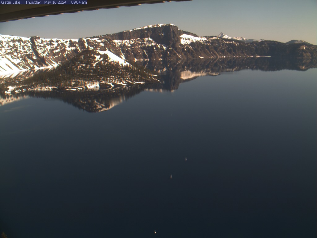
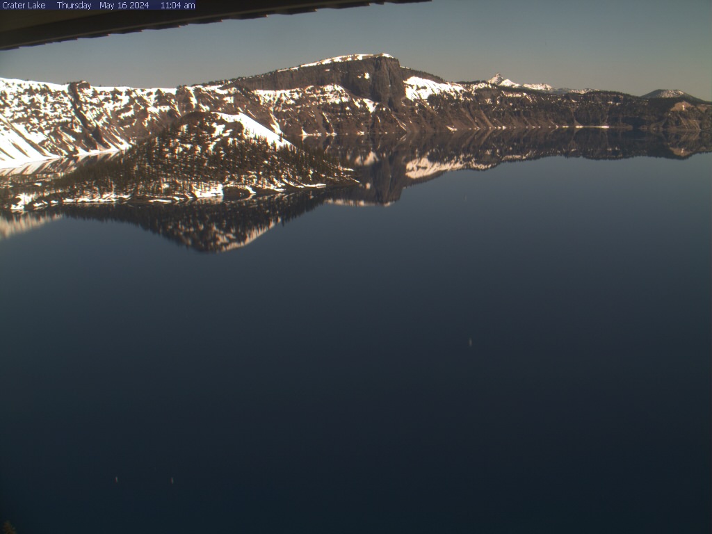
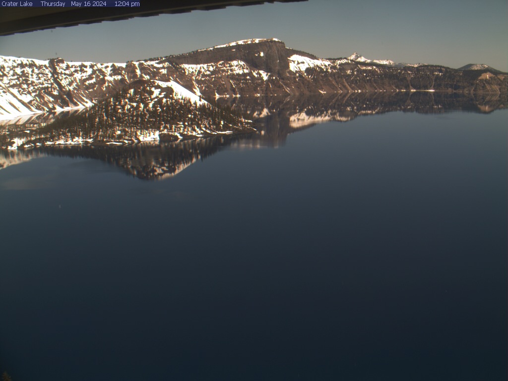
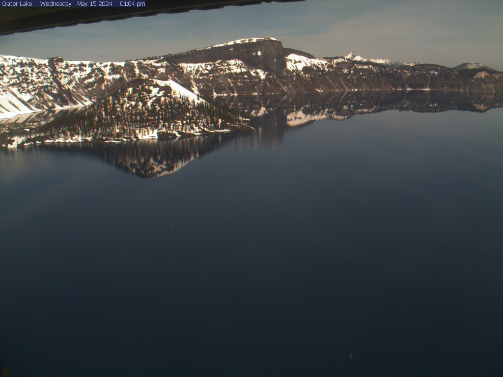
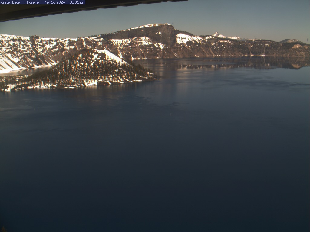
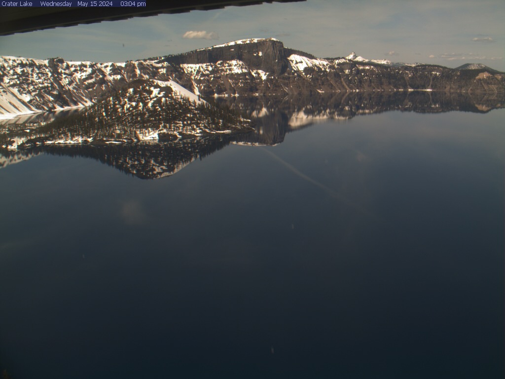
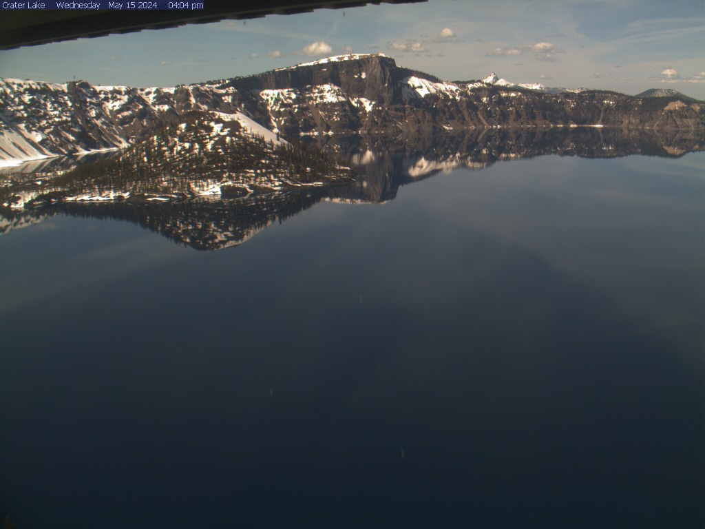
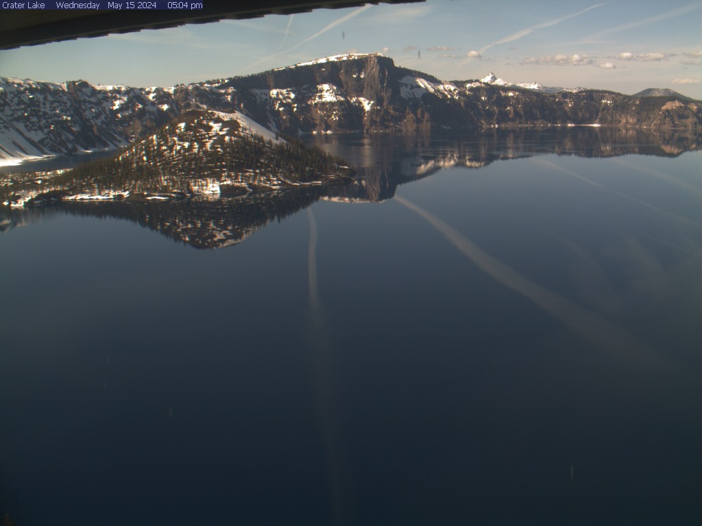
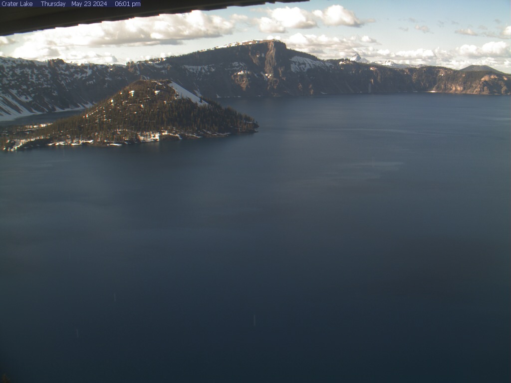
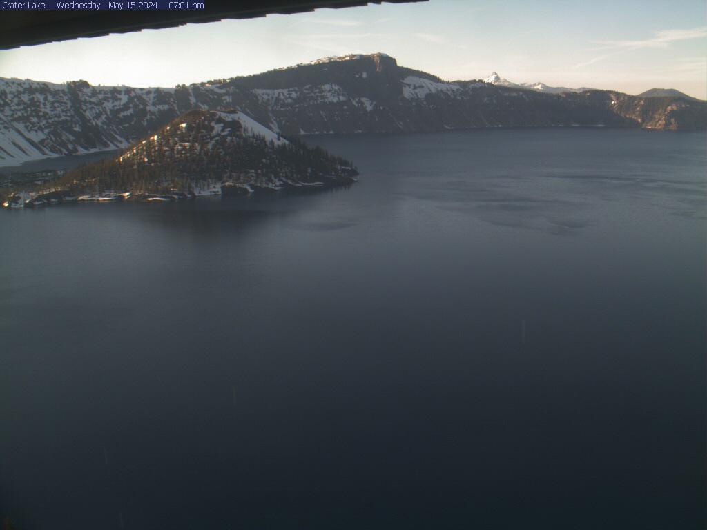
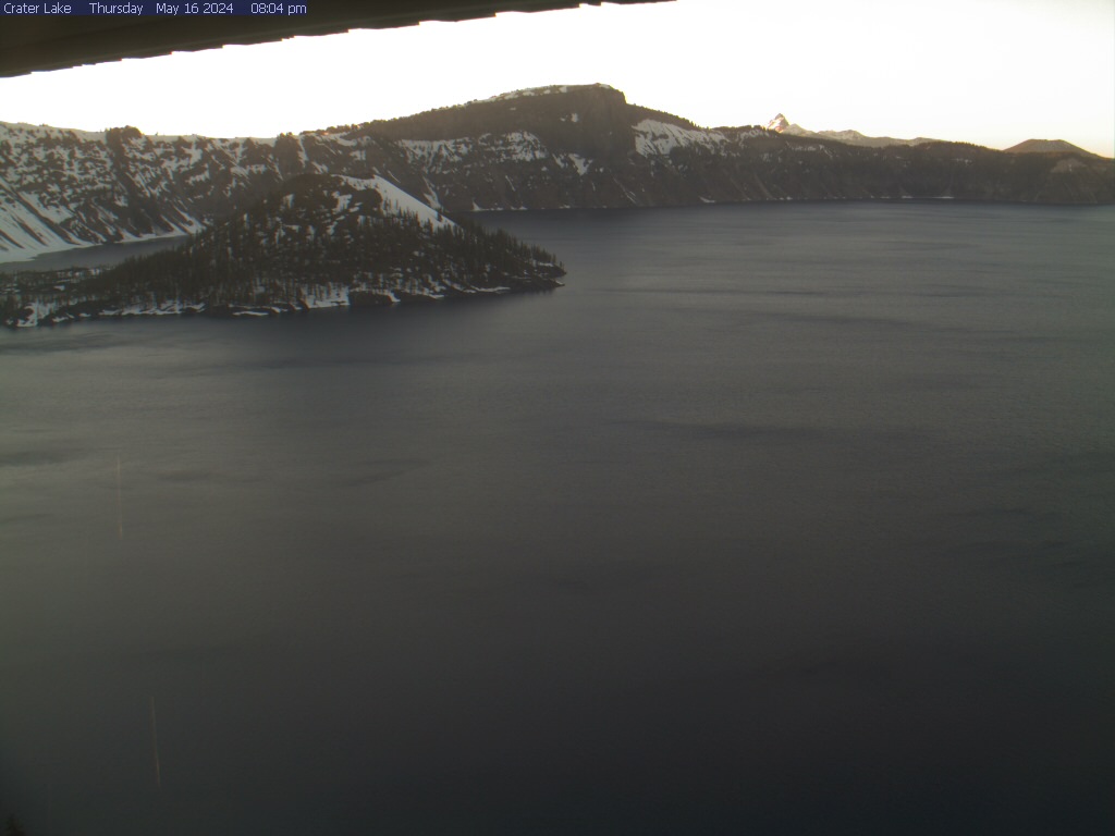
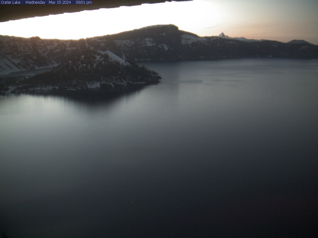
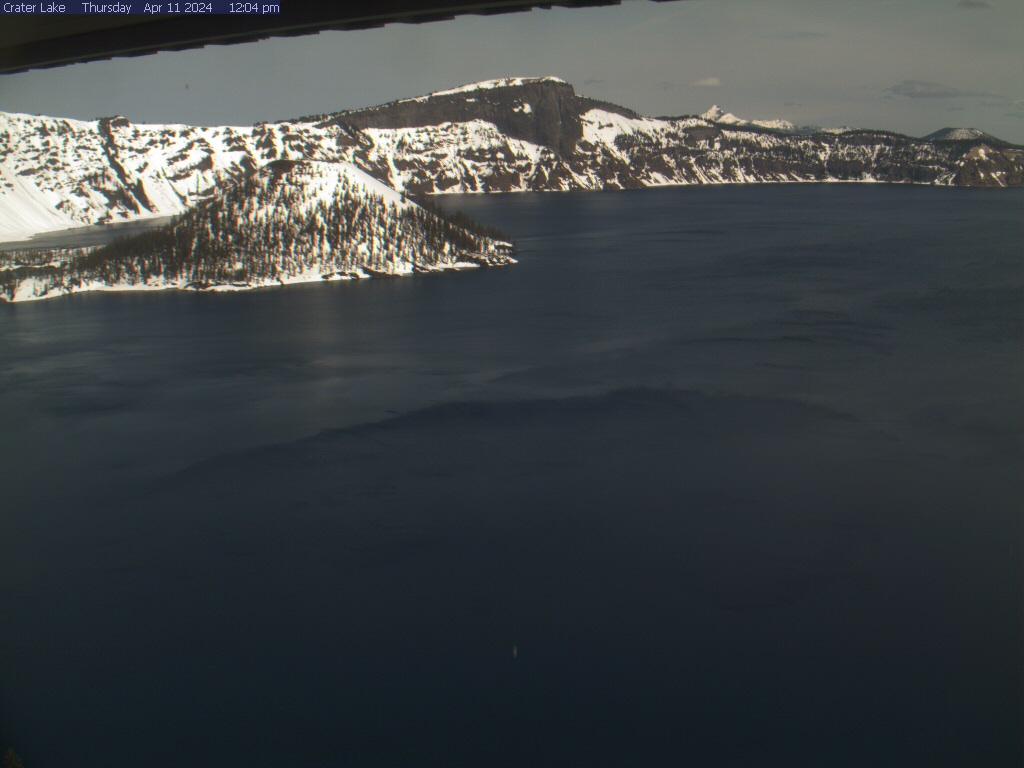
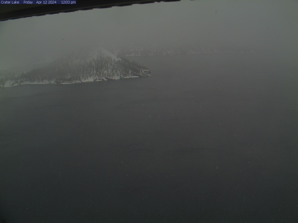
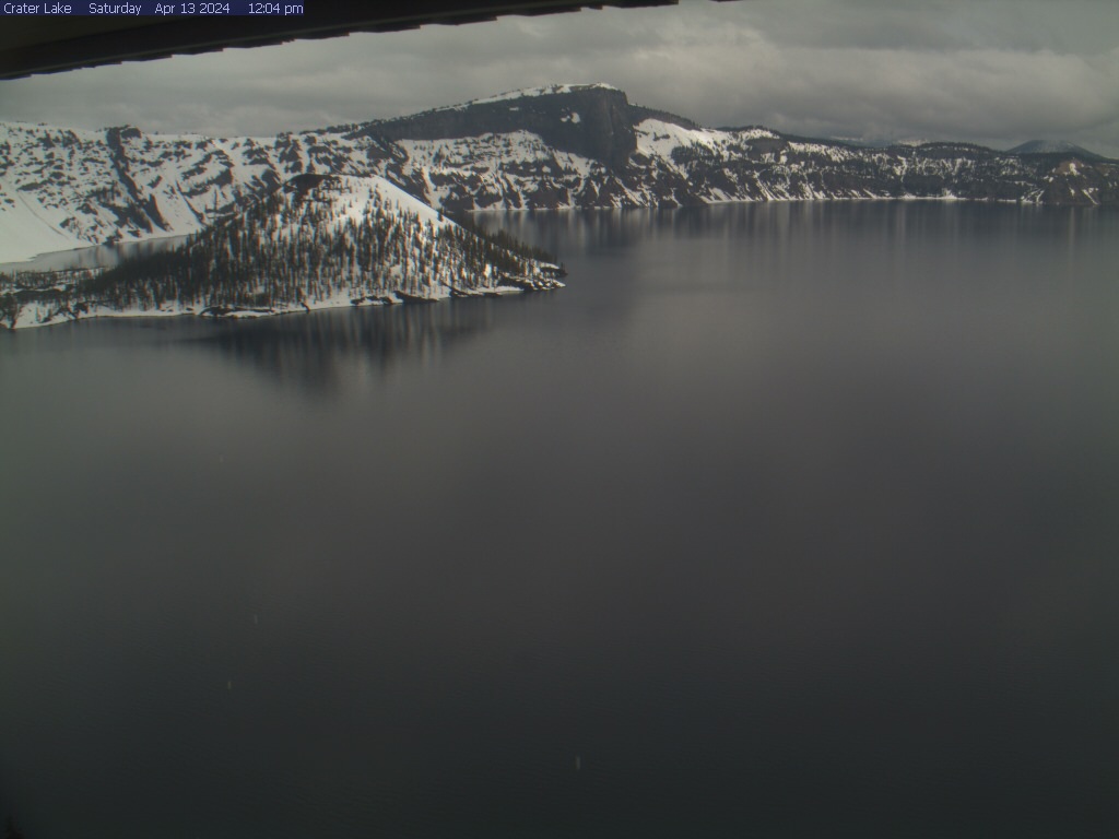
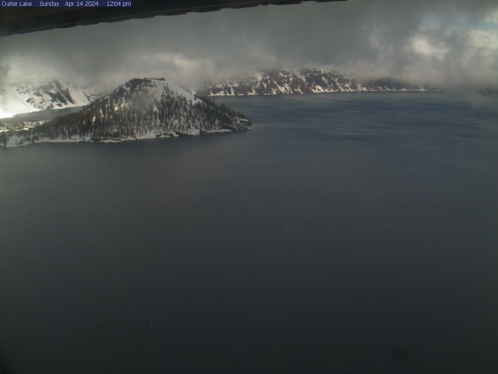
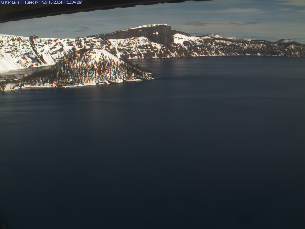
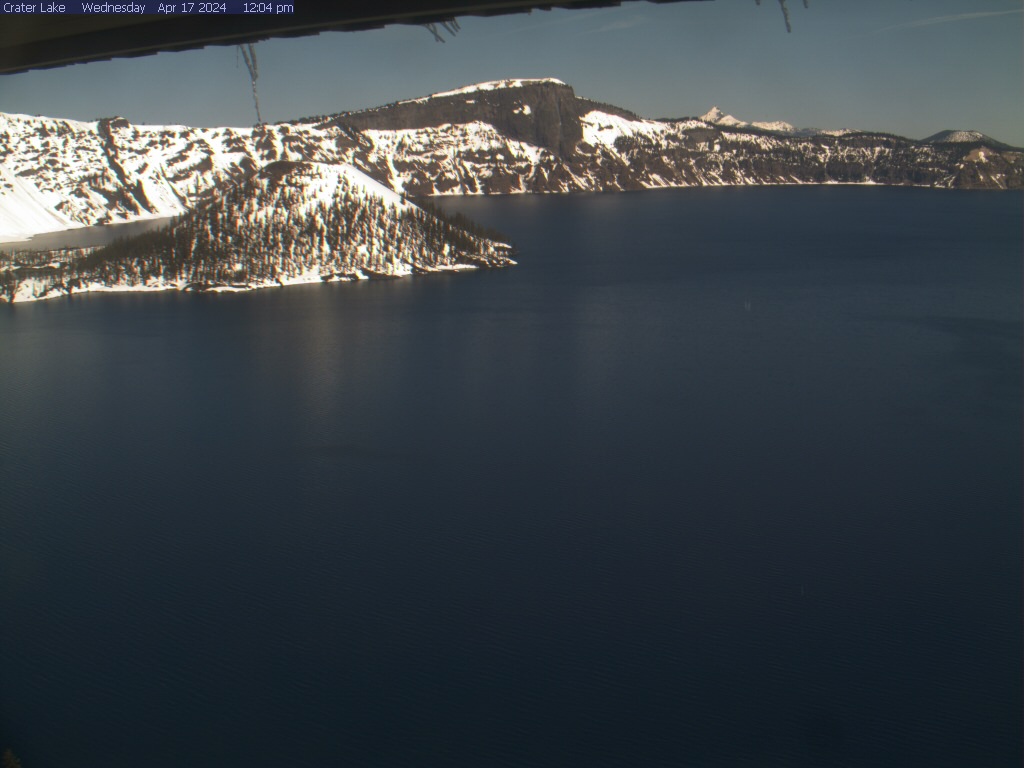
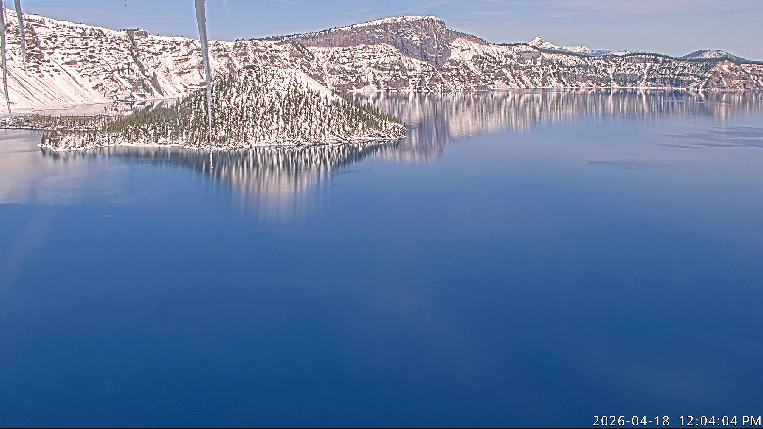
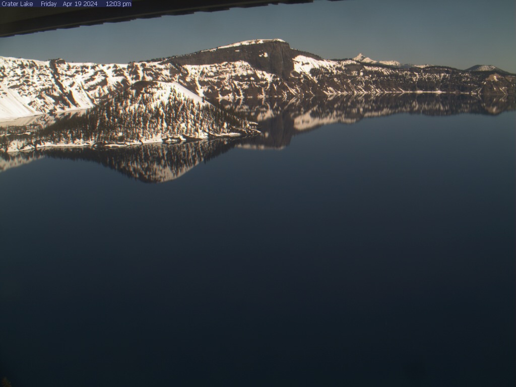
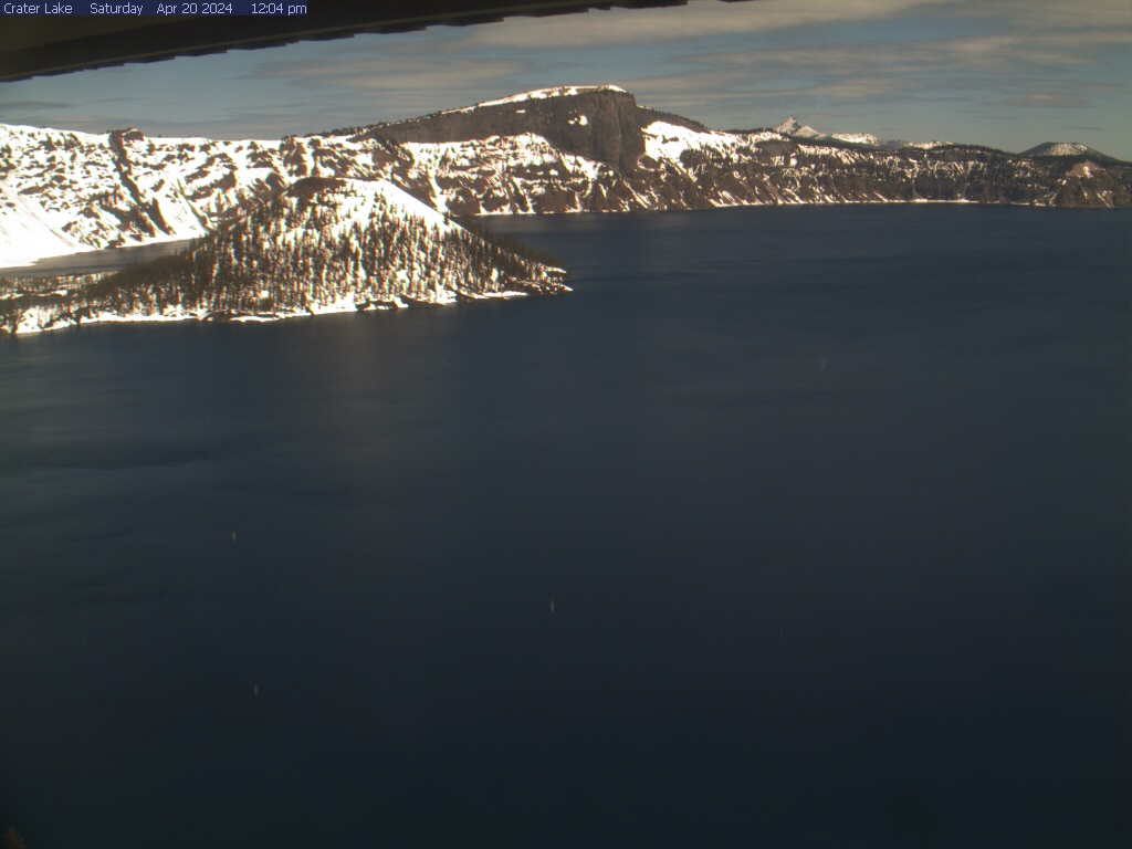
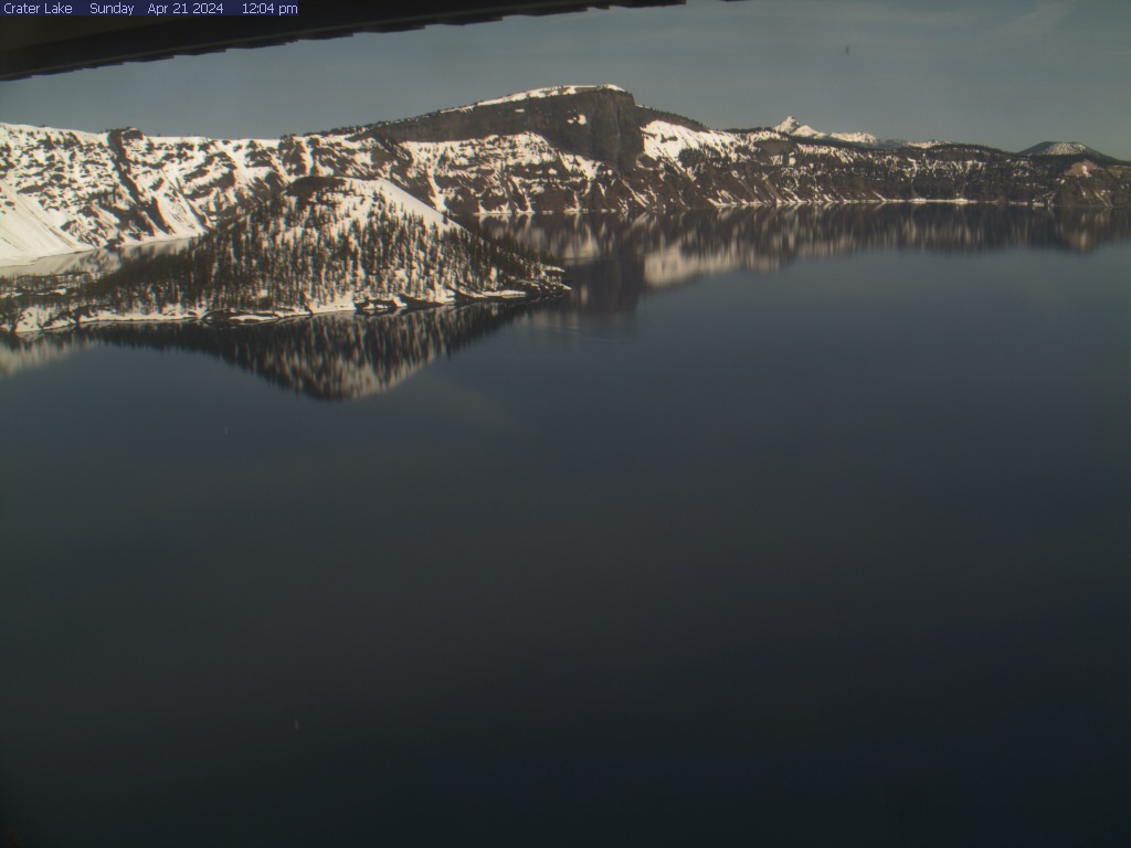
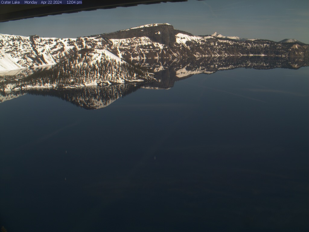
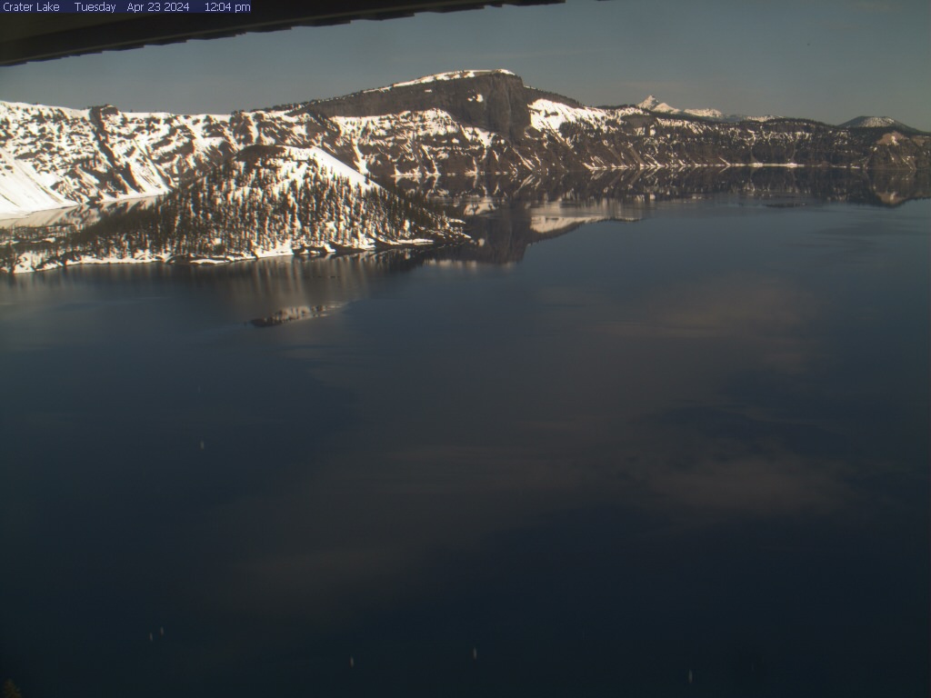
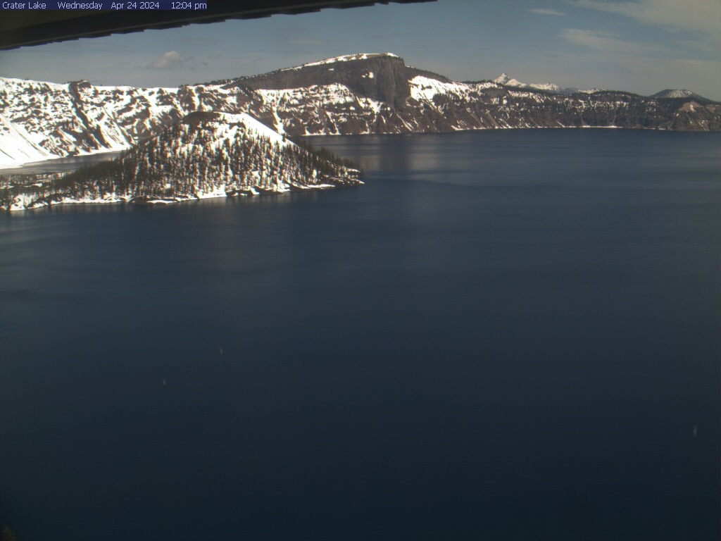
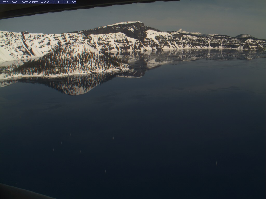
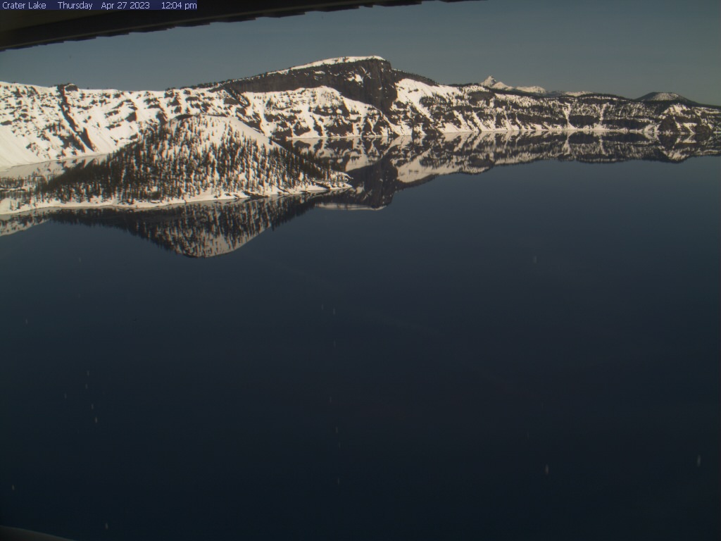
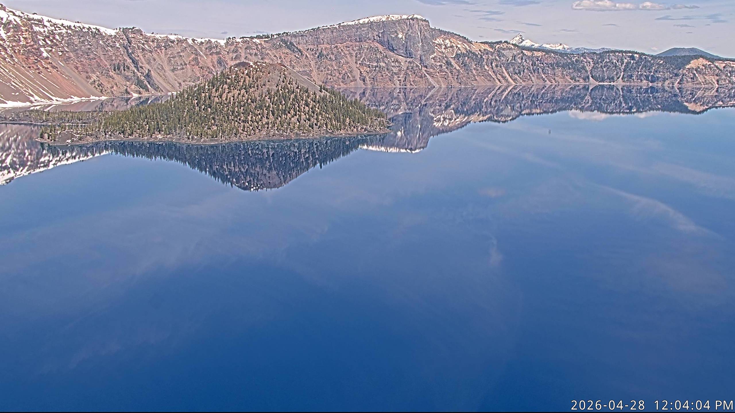
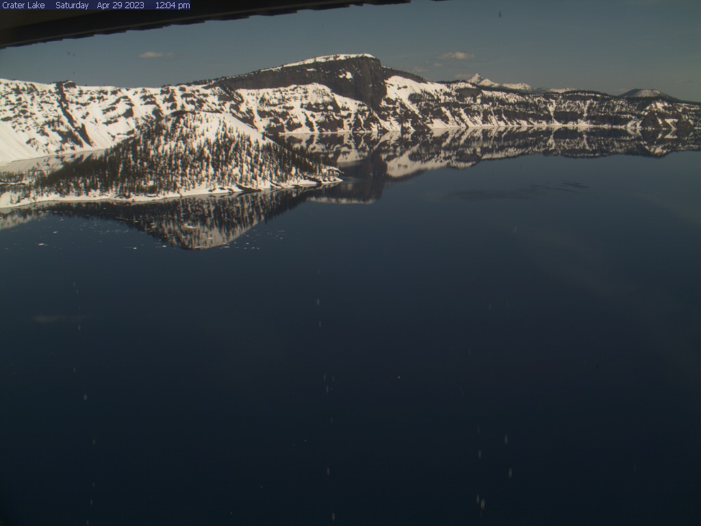
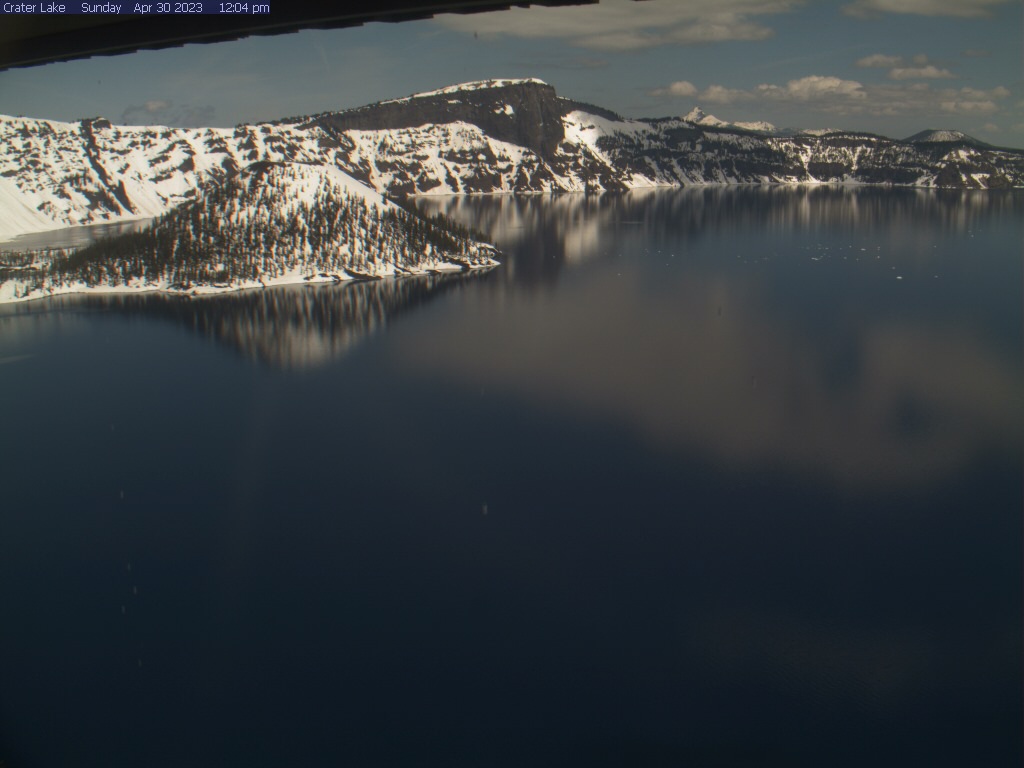
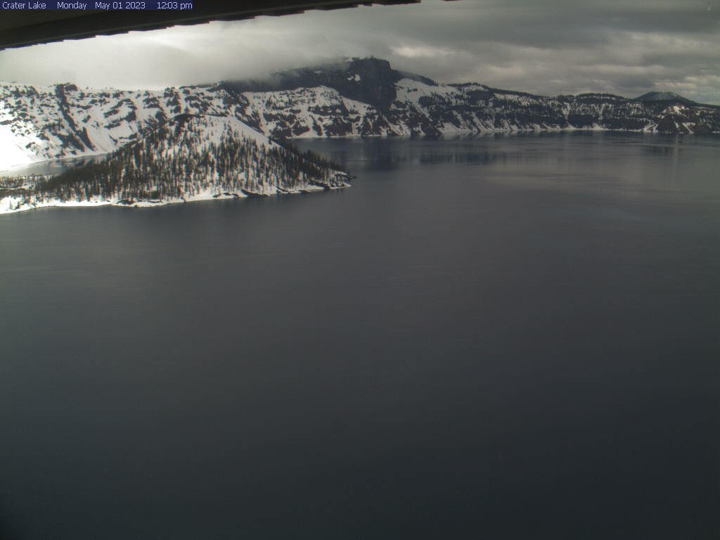
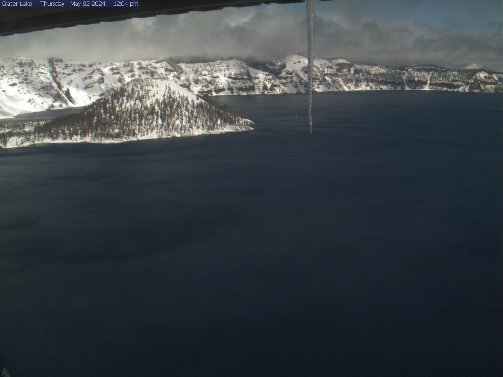
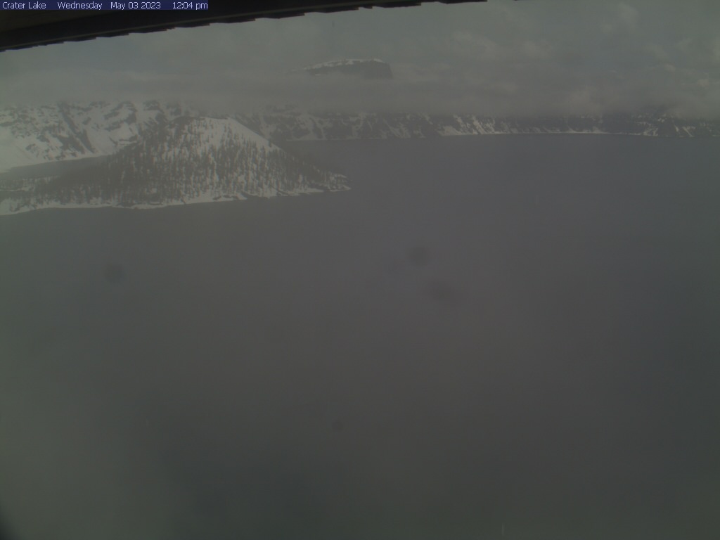
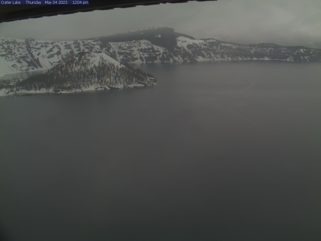
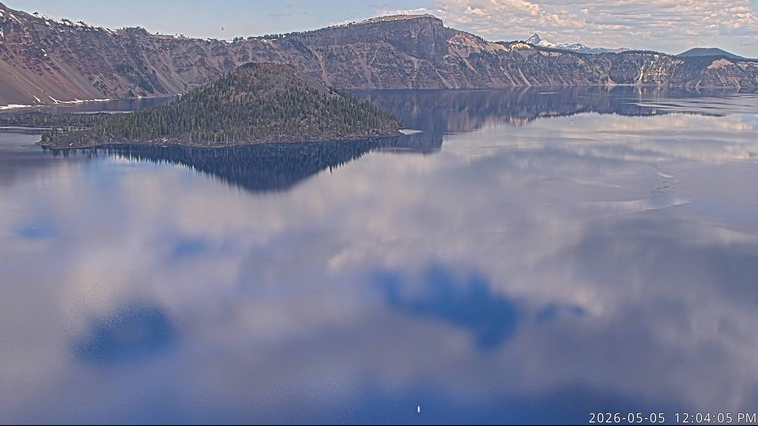
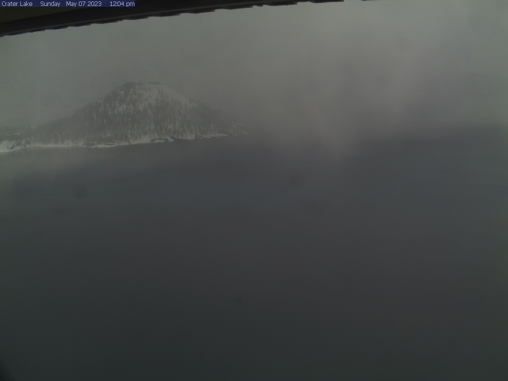
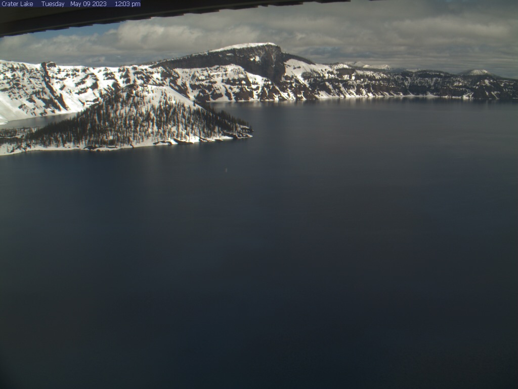
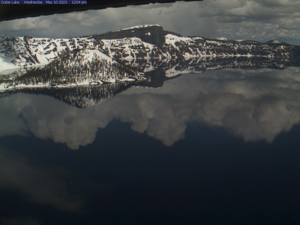
Crater Lake National Park, Oregon, USA - 48.2 miles from Lavadoure (historical): Crater Lake - View of the Crater Lake with Wizard Island and Llao Rock from Sinnott Memorial Overlook, Crater Lake National Park.
Operator: U.S. National Park Service
Operator: U.S. National Park Service


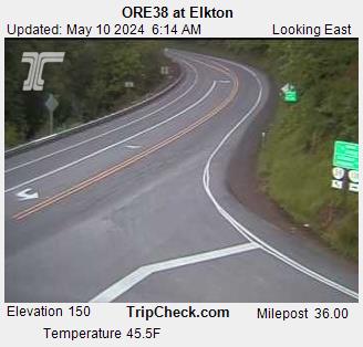
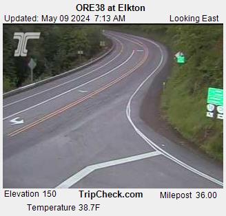
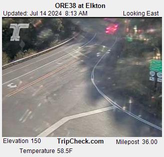
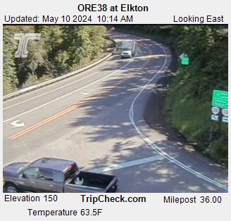
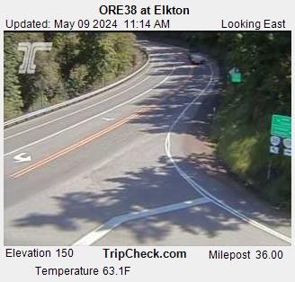
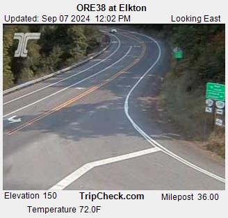
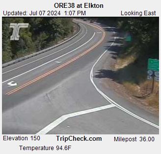
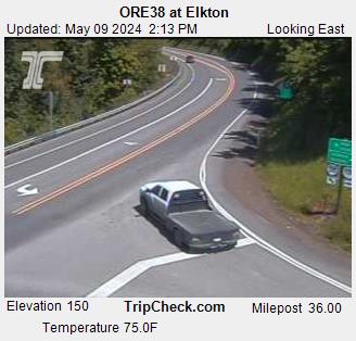
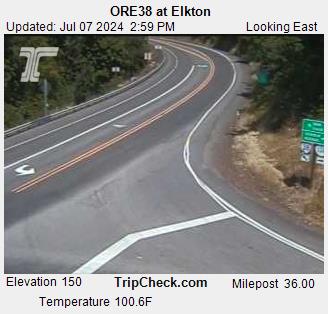
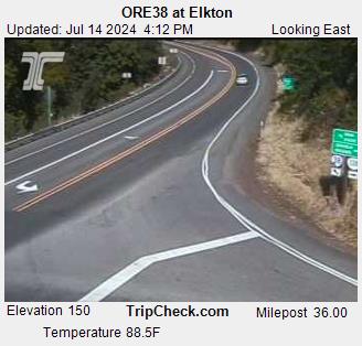
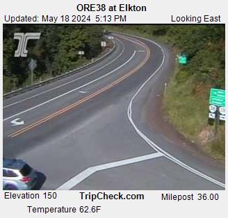
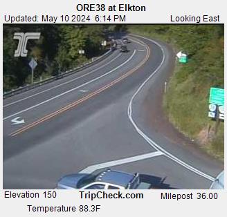
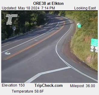
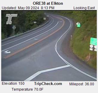
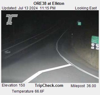
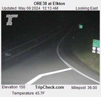
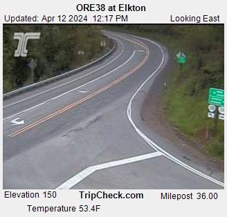
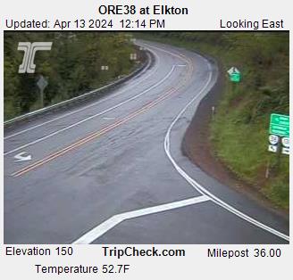
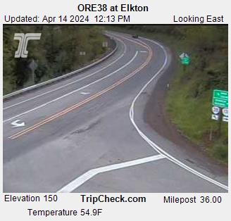
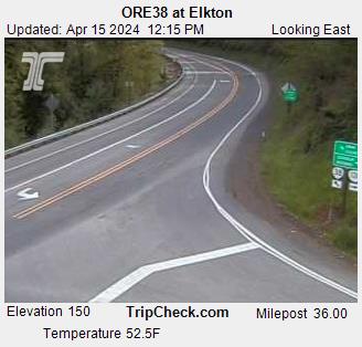
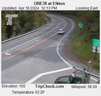
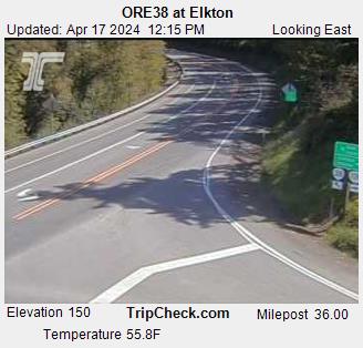
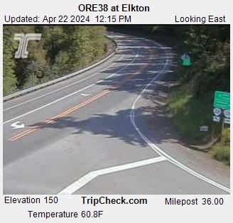
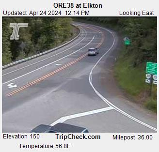
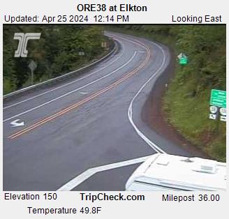
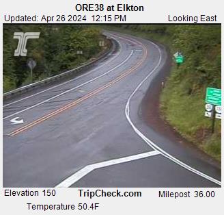
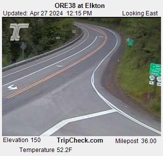
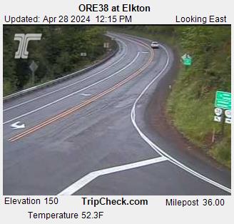
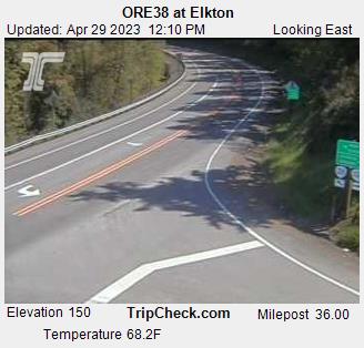
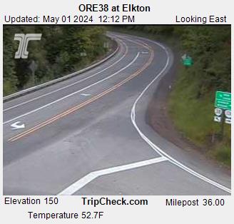
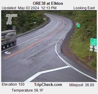
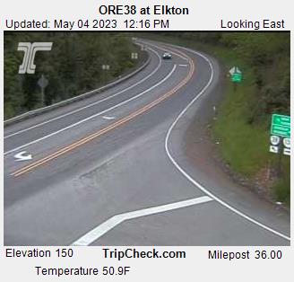
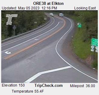
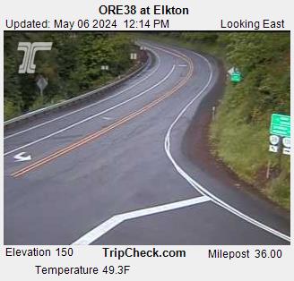
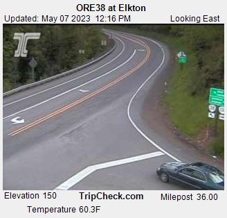
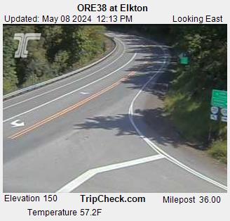
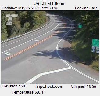
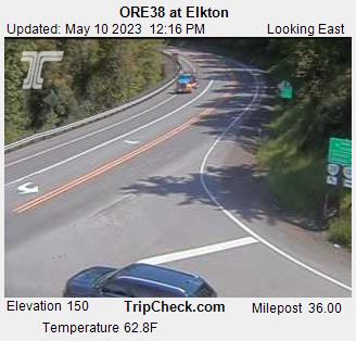
Elkton, Oregon, USA - 53.3 miles from Lavadoure (historical): ORE38 at Elkton - A view of the current traffic situation on the ORE38.
Operator: Oregon Department of Transportation
Operator: Oregon Department of Transportation


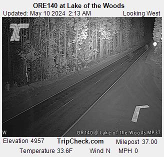
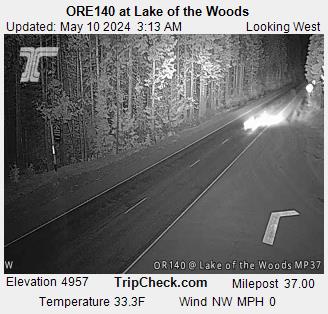
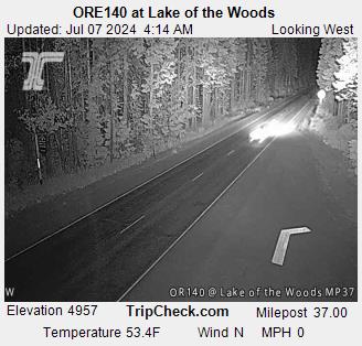
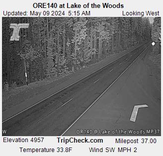
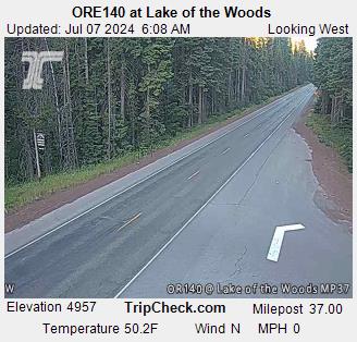
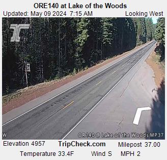
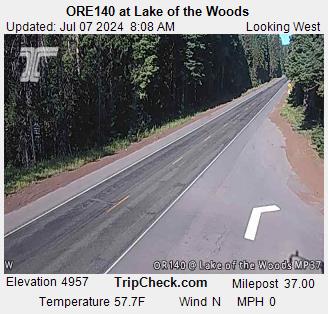
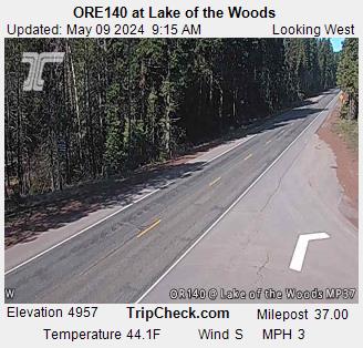
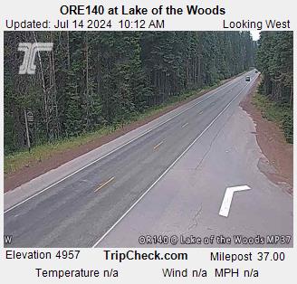
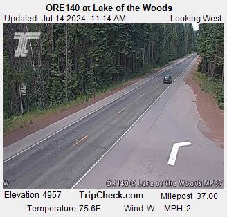
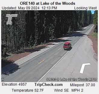
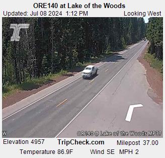
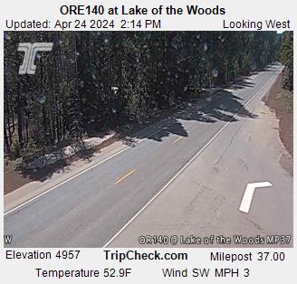
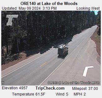
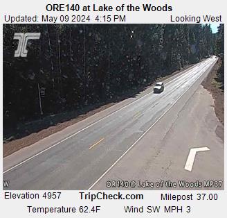
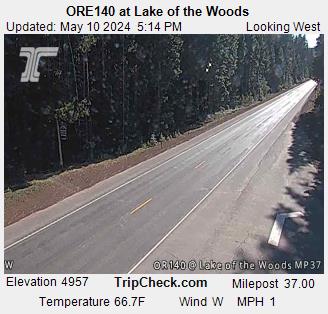
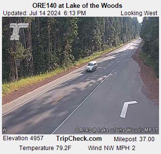
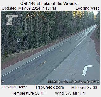
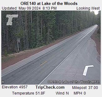
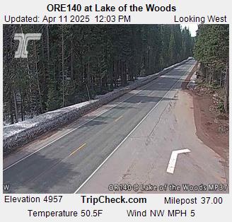
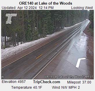
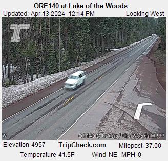
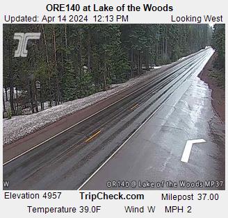
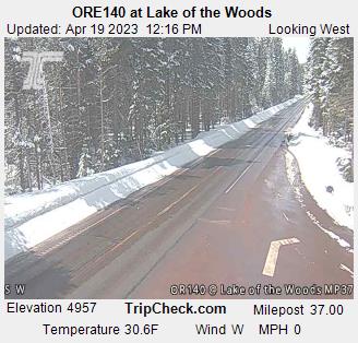
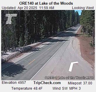
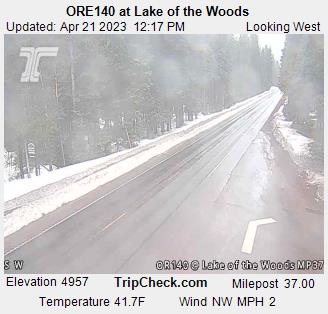
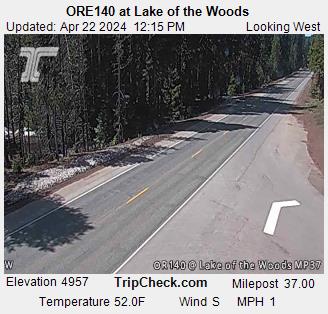
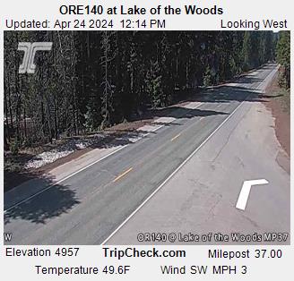
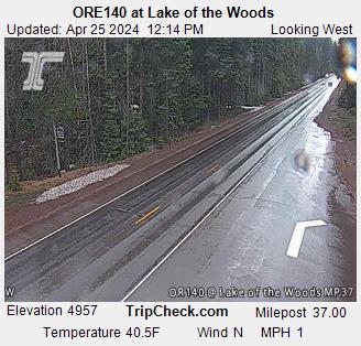
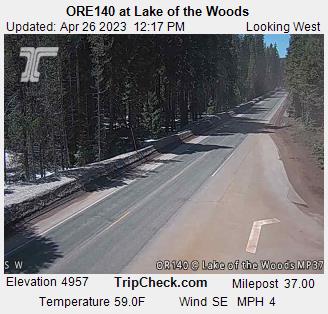
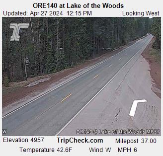
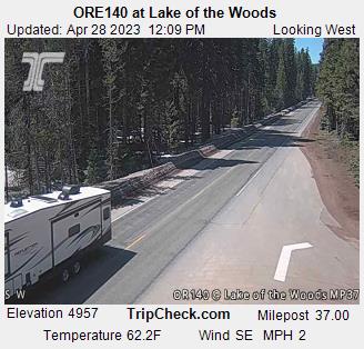
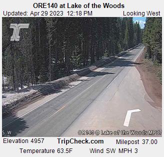
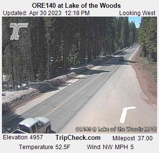
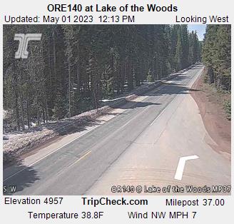
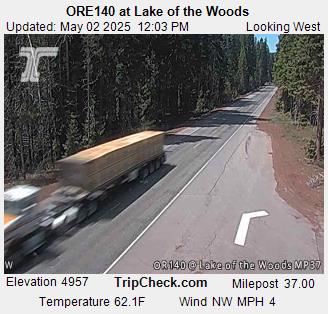
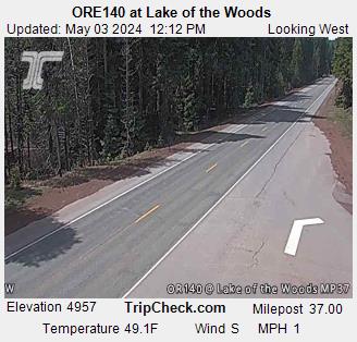
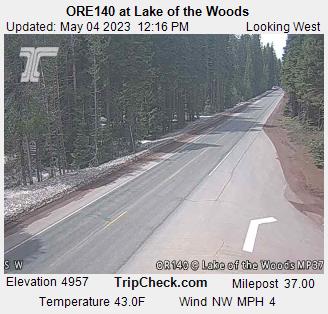
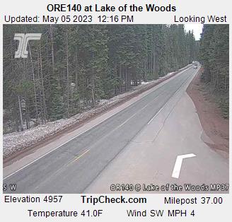
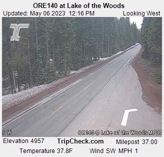
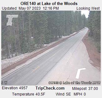
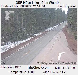
Lake of the Woods, Oregon, USA - 59.7 miles from Lavadoure (historical): ORE140 at Lake of the Woods - A view of the current traffic situation on the ORE140.
Operator: Oregon Department of Transportation
Operator: Oregon Department of Transportation


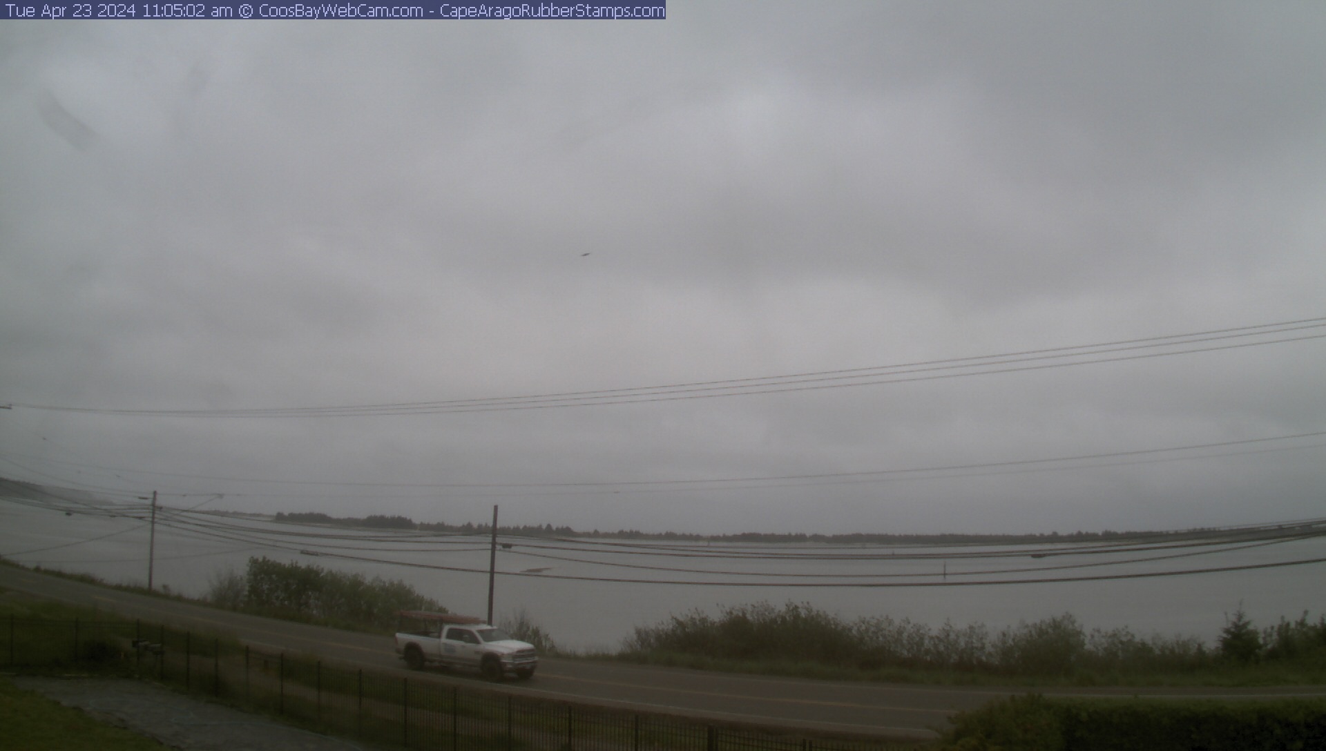
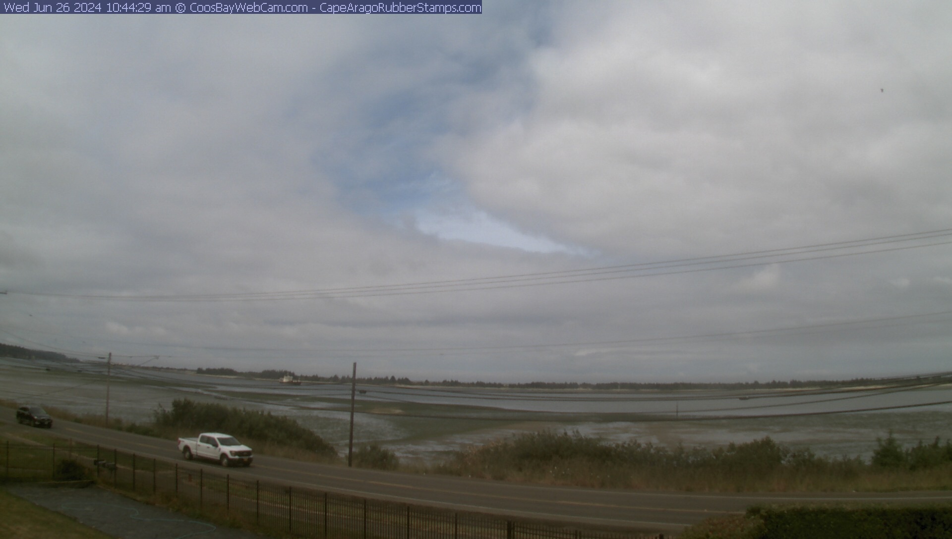
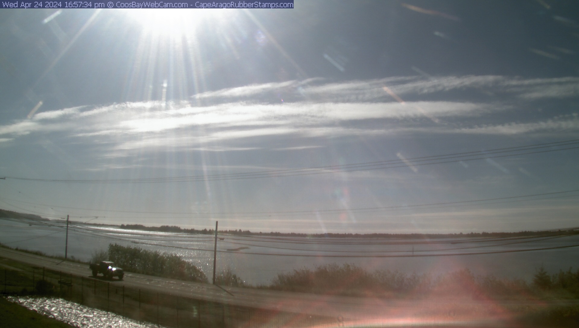
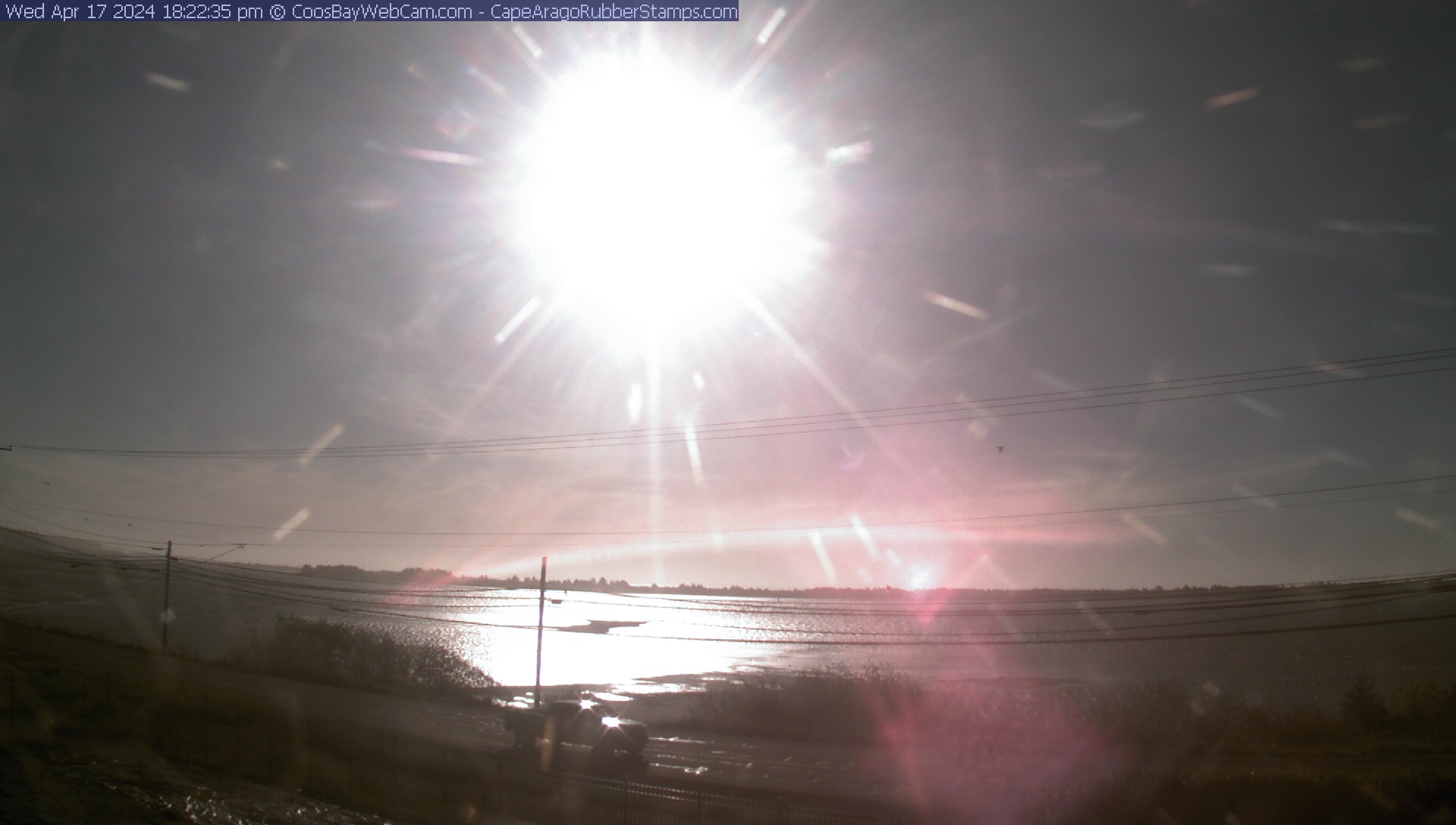
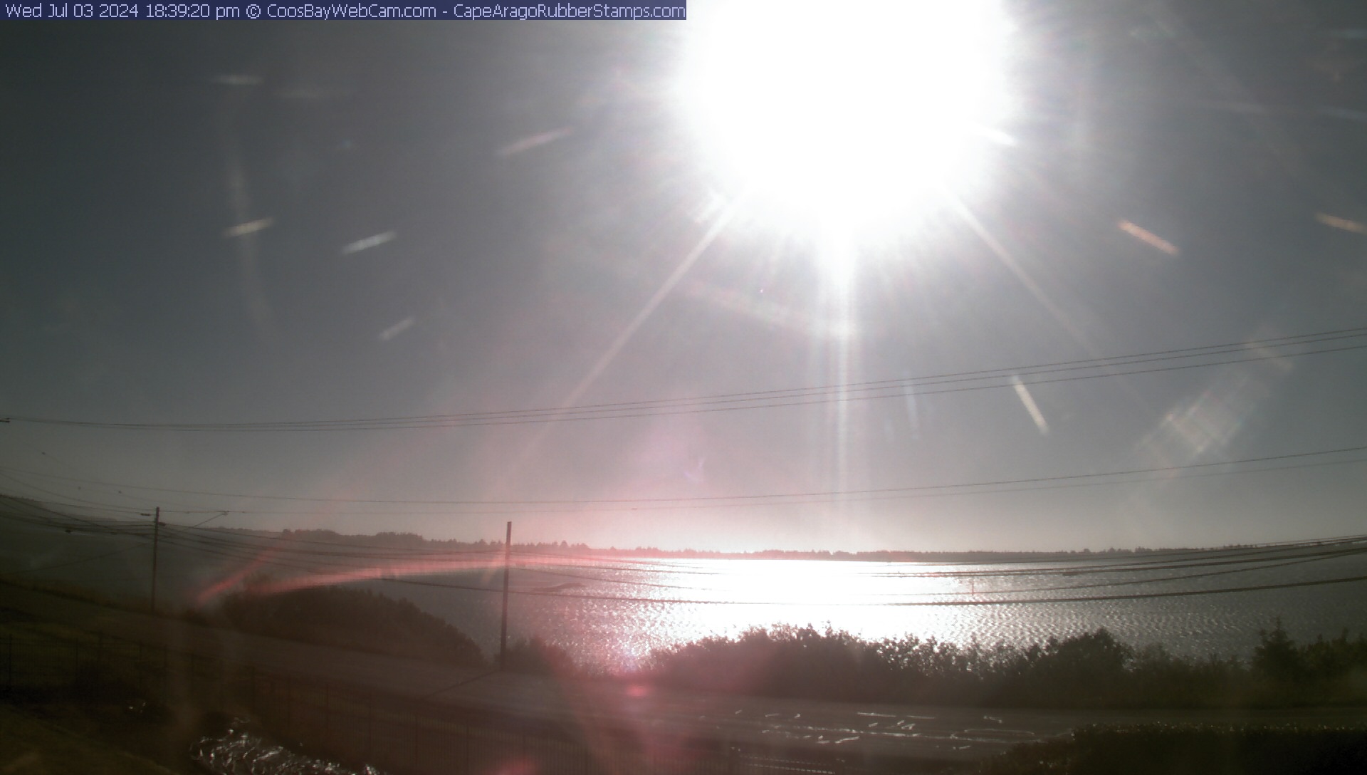
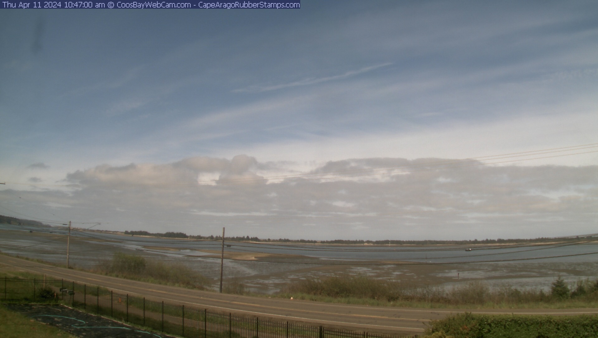
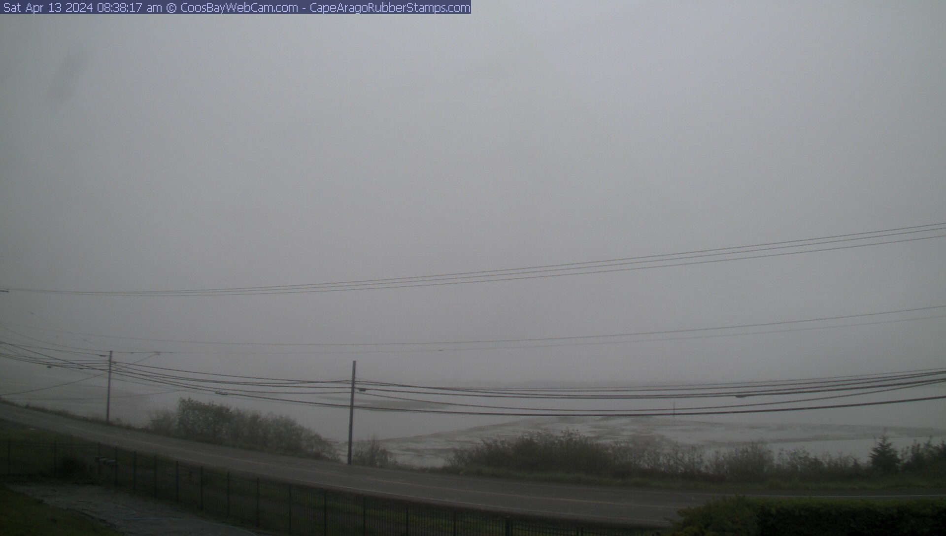
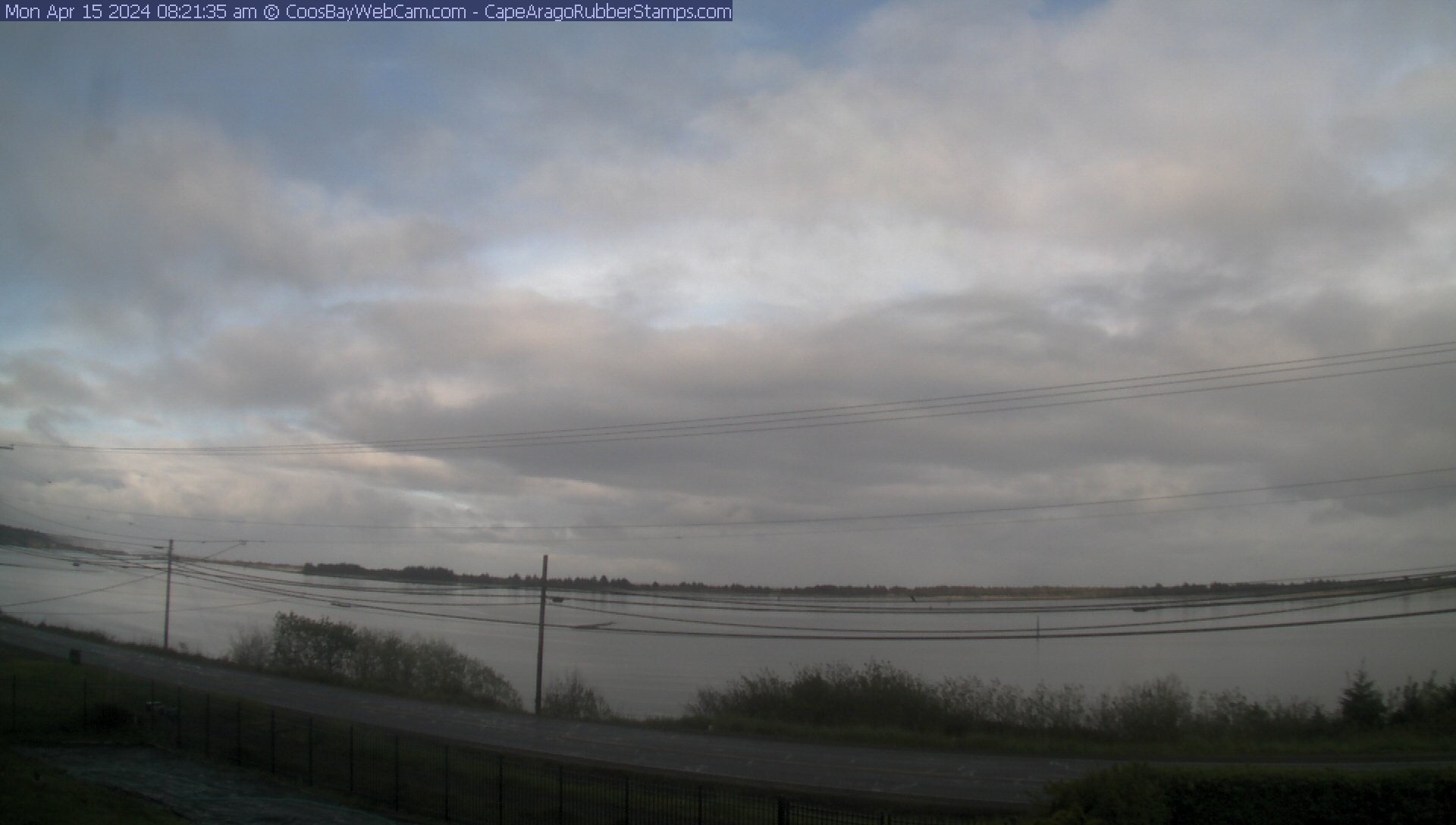
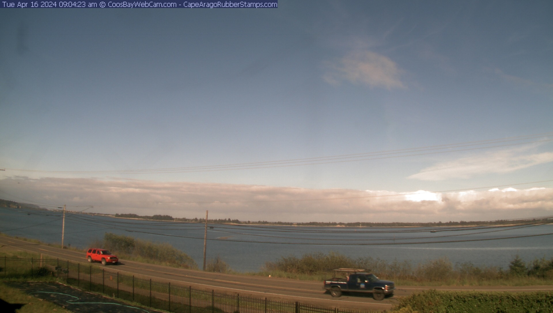
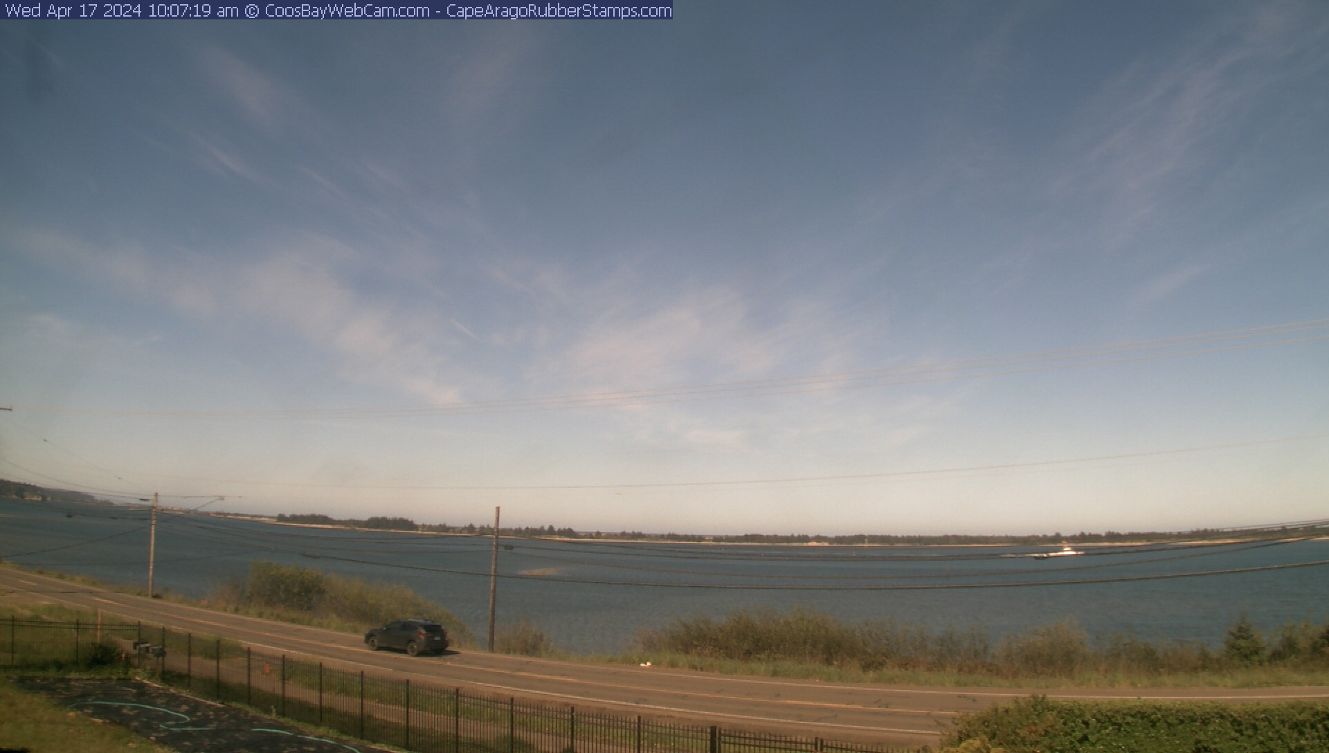
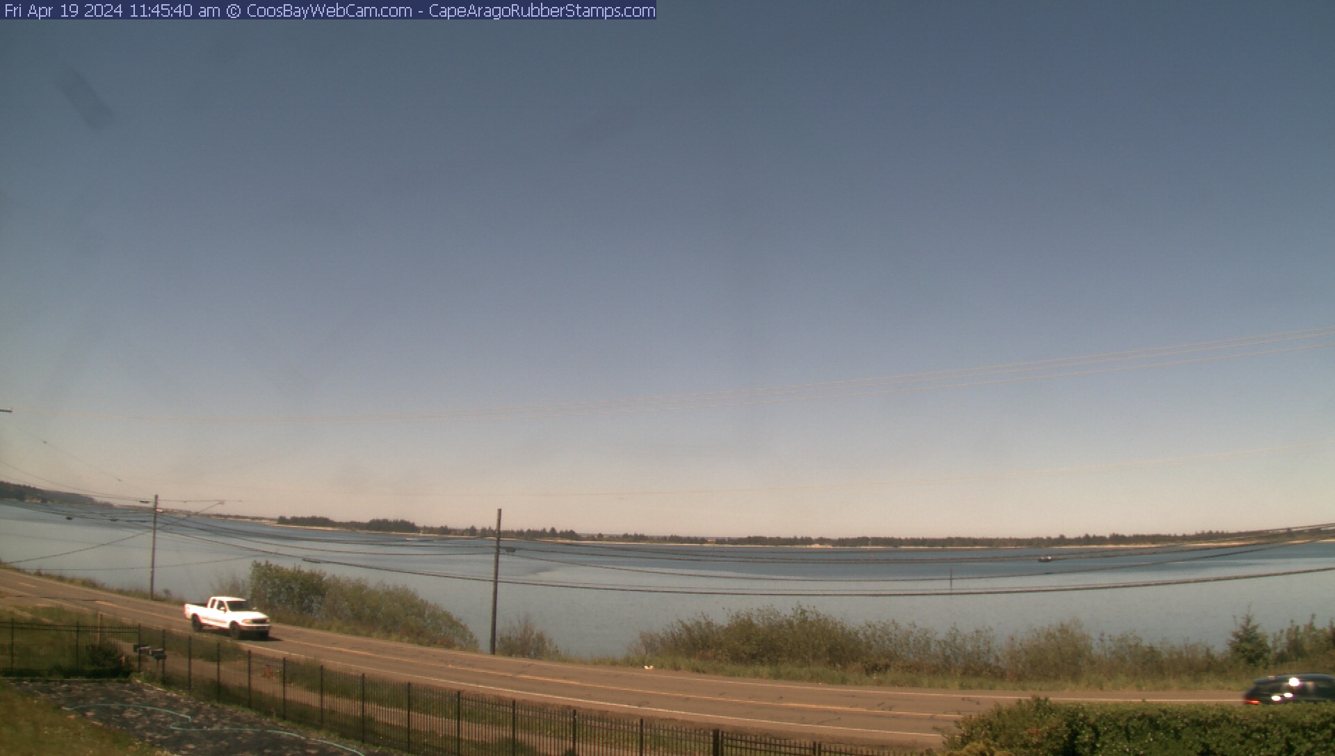
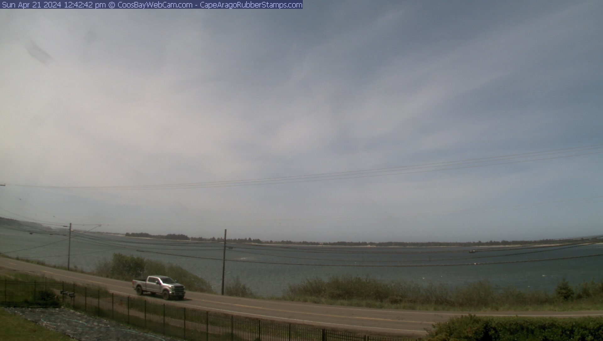
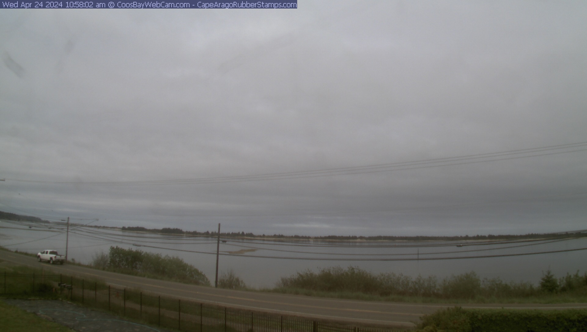
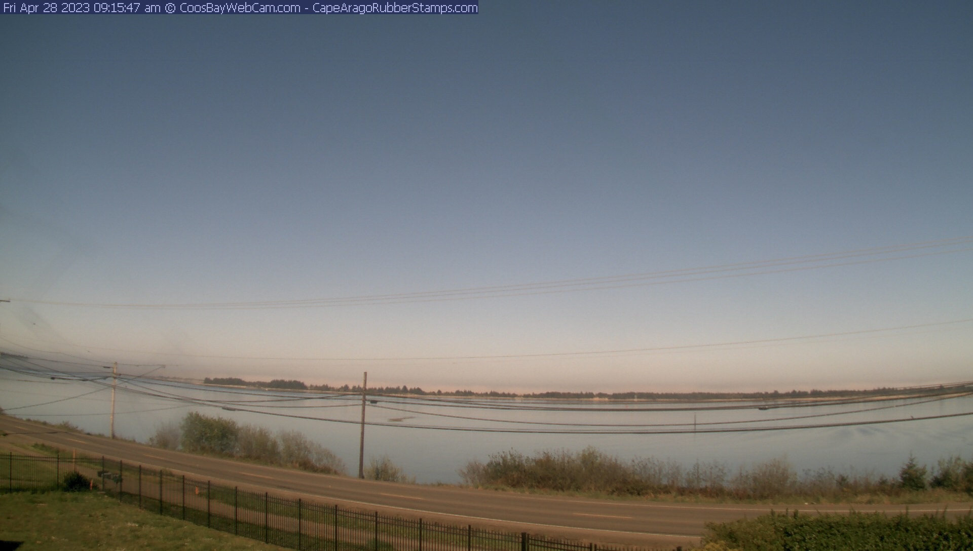
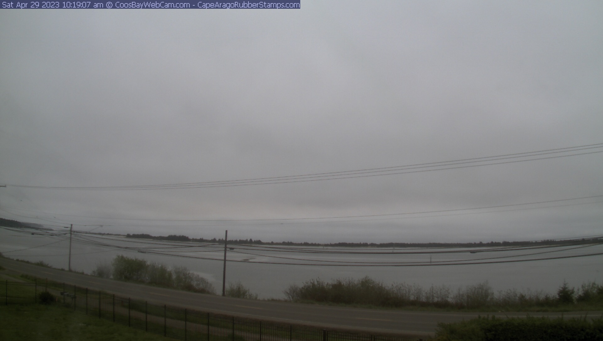
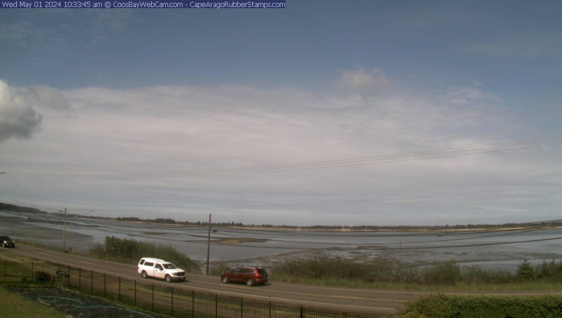
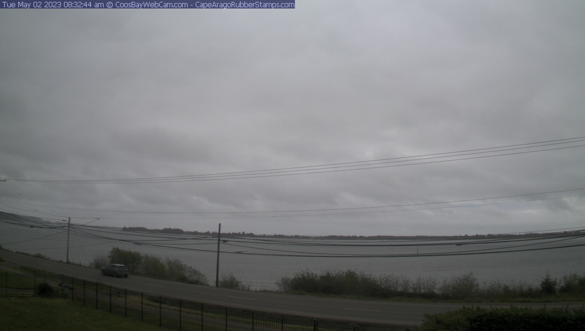
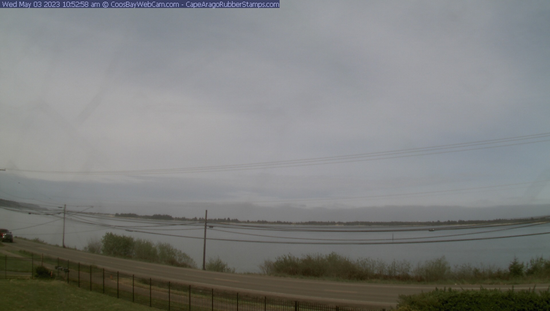
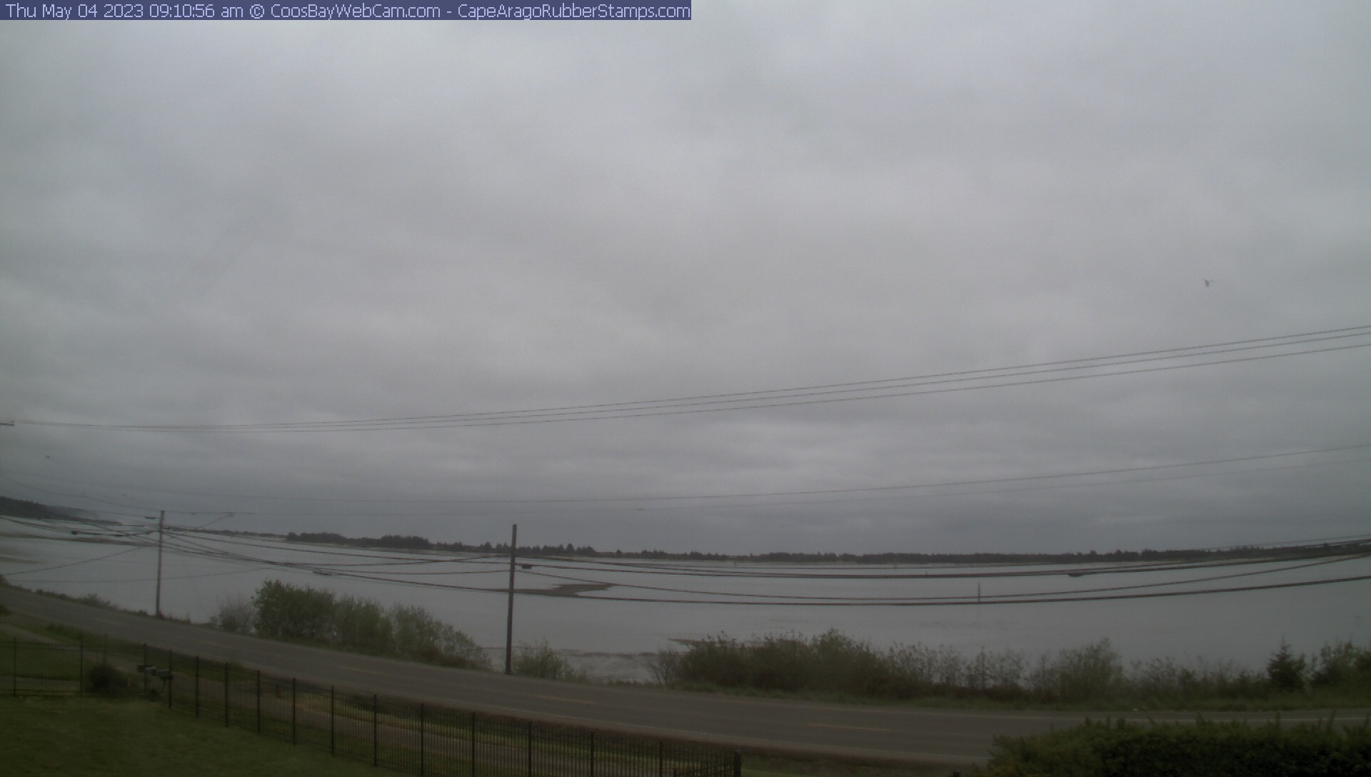
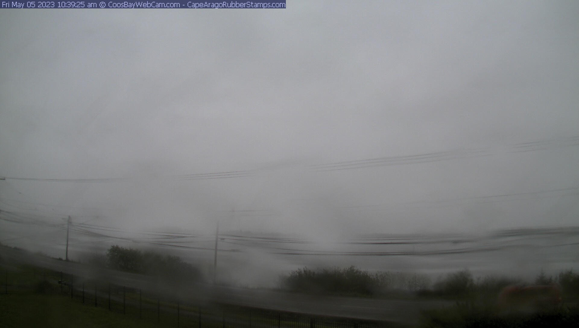
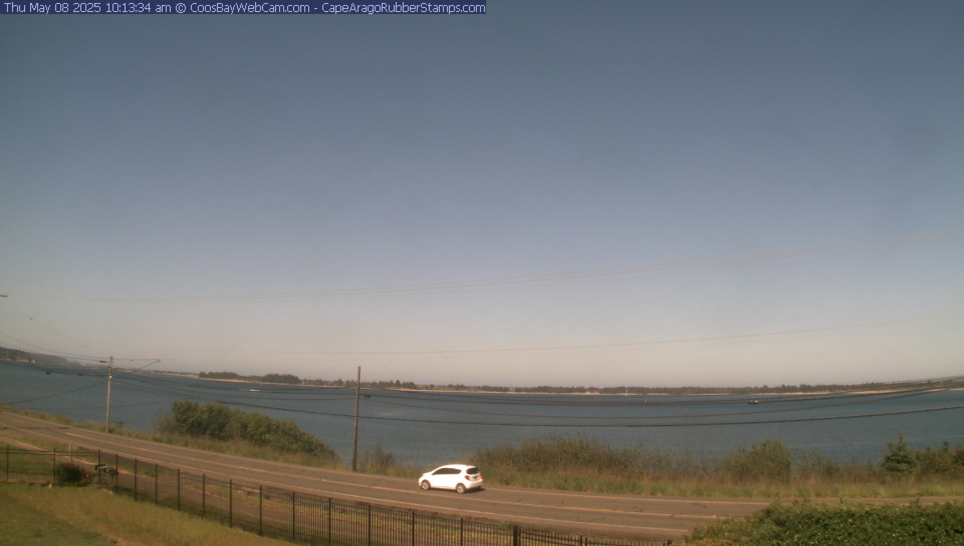
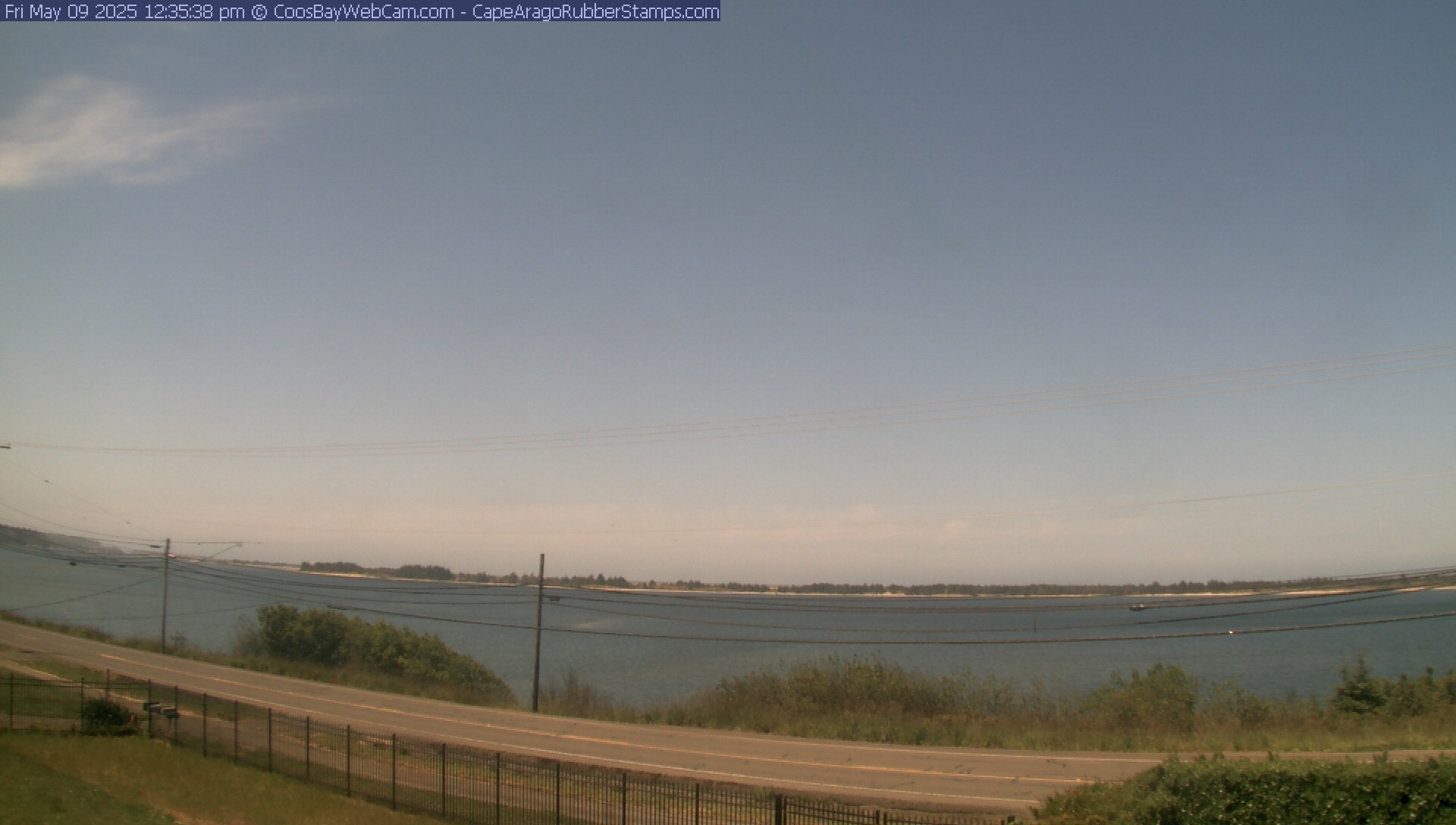
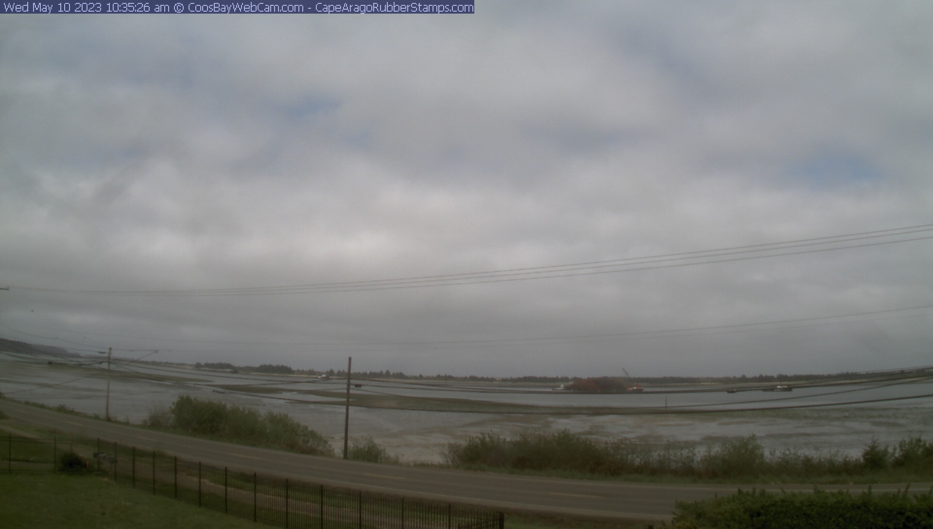
Coos Bay, Oregon, USA - 63.4 miles from Lavadoure (historical): View of the Coos Bay - A nice panorama view over the Coos Bay.
Operator: CoosBayWebcam.com
Operator: CoosBayWebcam.com


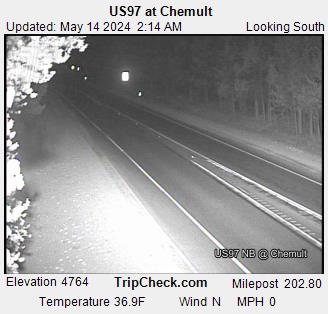
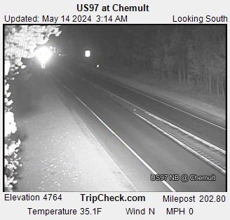
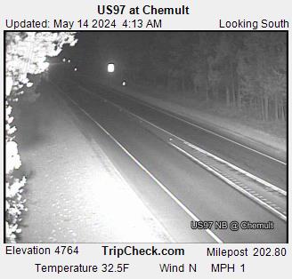
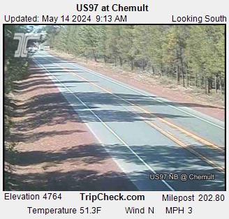
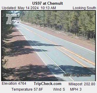
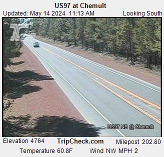
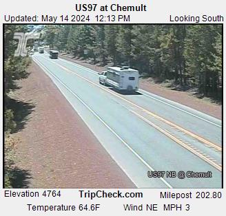
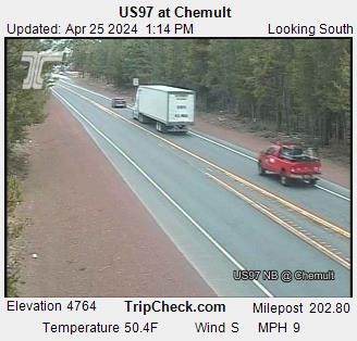
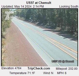
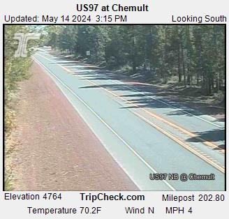
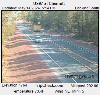
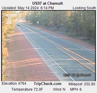
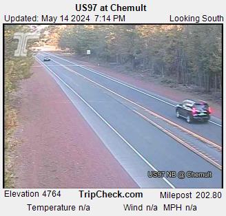
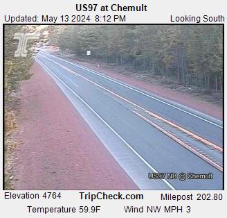
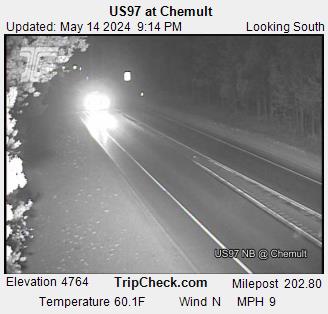
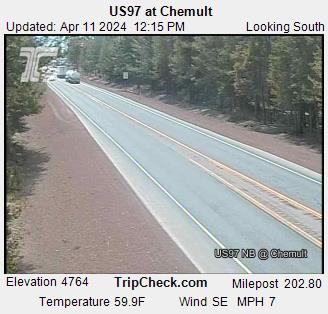
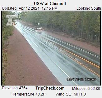
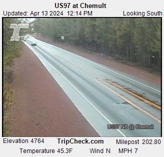
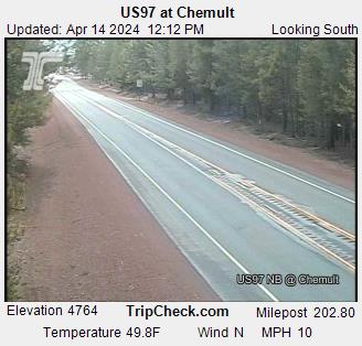
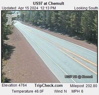
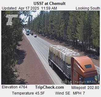
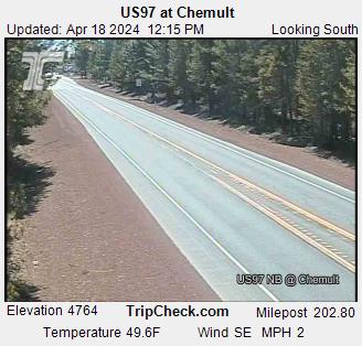
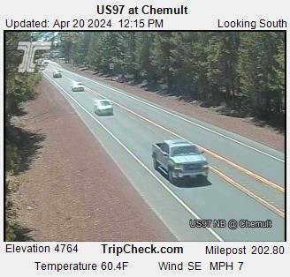
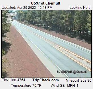
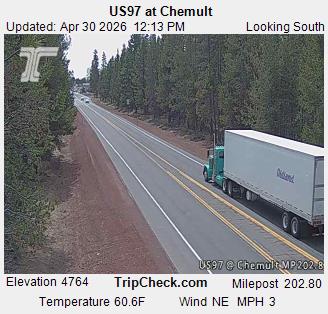
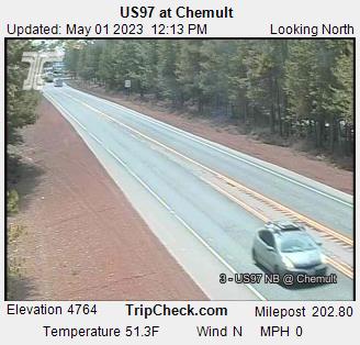
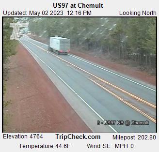
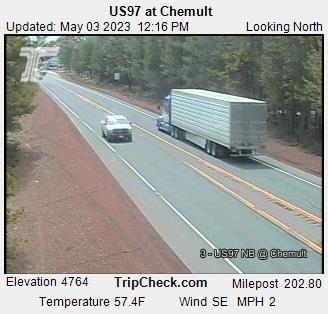
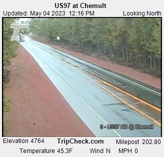
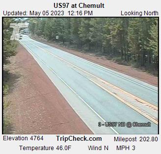
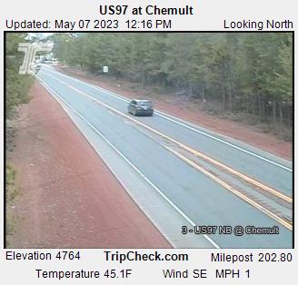
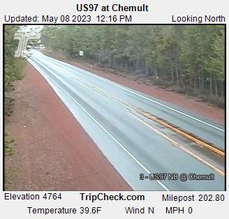
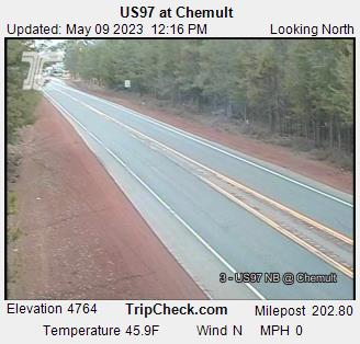
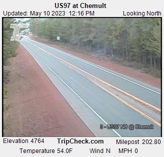
Chemult, Oregon, USA - 69.1 miles from Lavadoure (historical): US97 at Chemult - A view of the current traffic situation on the US97.
Operator: Oregon Department of Transportation
Operator: Oregon Department of Transportation


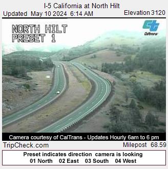
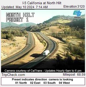
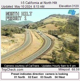
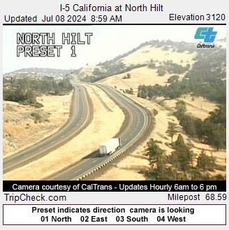
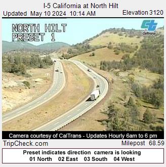
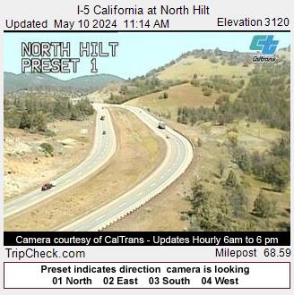
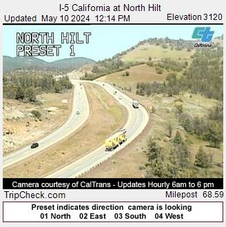
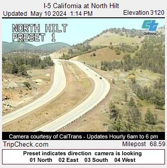
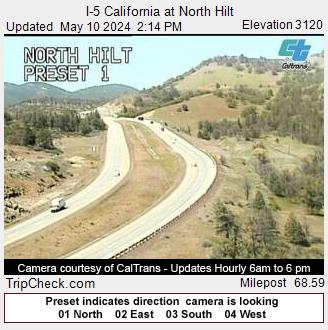
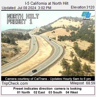
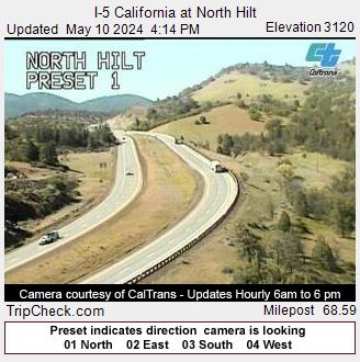
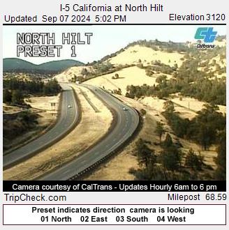
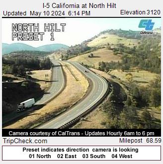
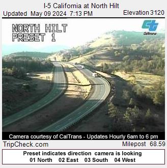
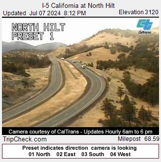
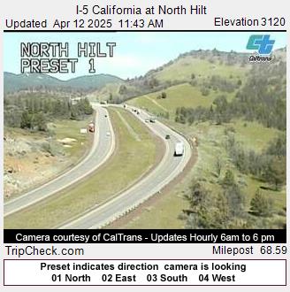
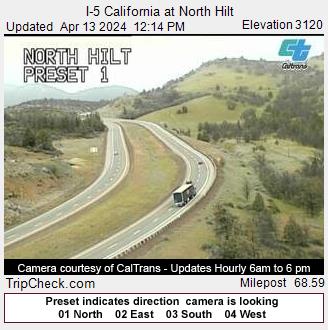
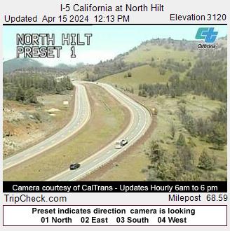
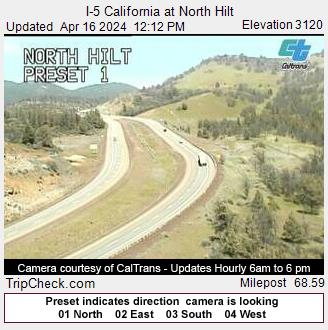
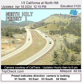
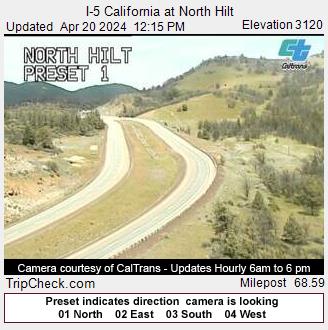
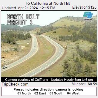
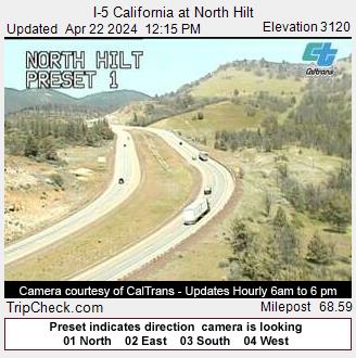
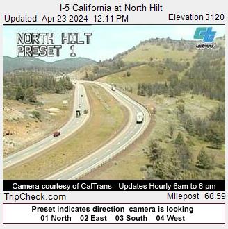
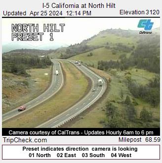
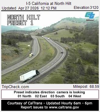
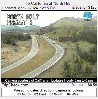
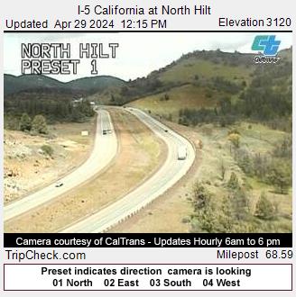
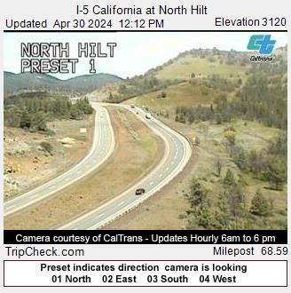
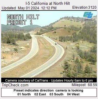
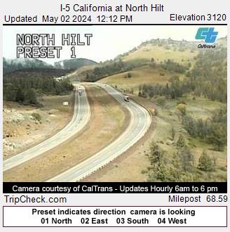
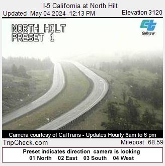
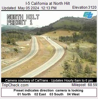
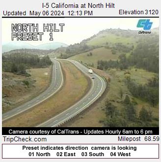
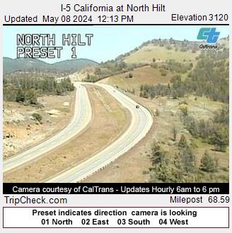
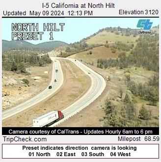
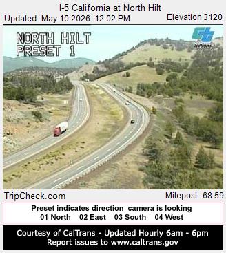
Hilt, California, USA - 70 miles from Lavadoure (historical): I-5 California at North Hilt - A view of the current traffic situation on the I-5.
Operator: Oregon Department of Transportation
Operator: Oregon Department of Transportation


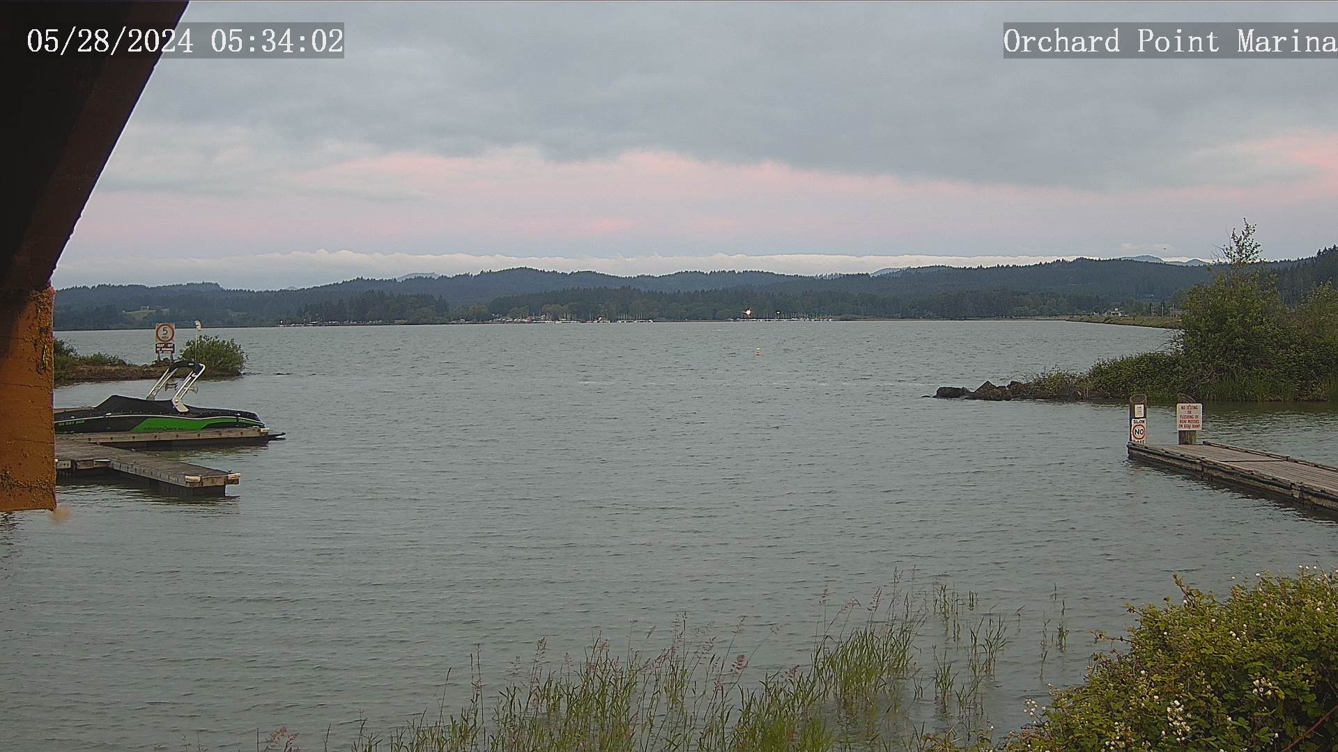
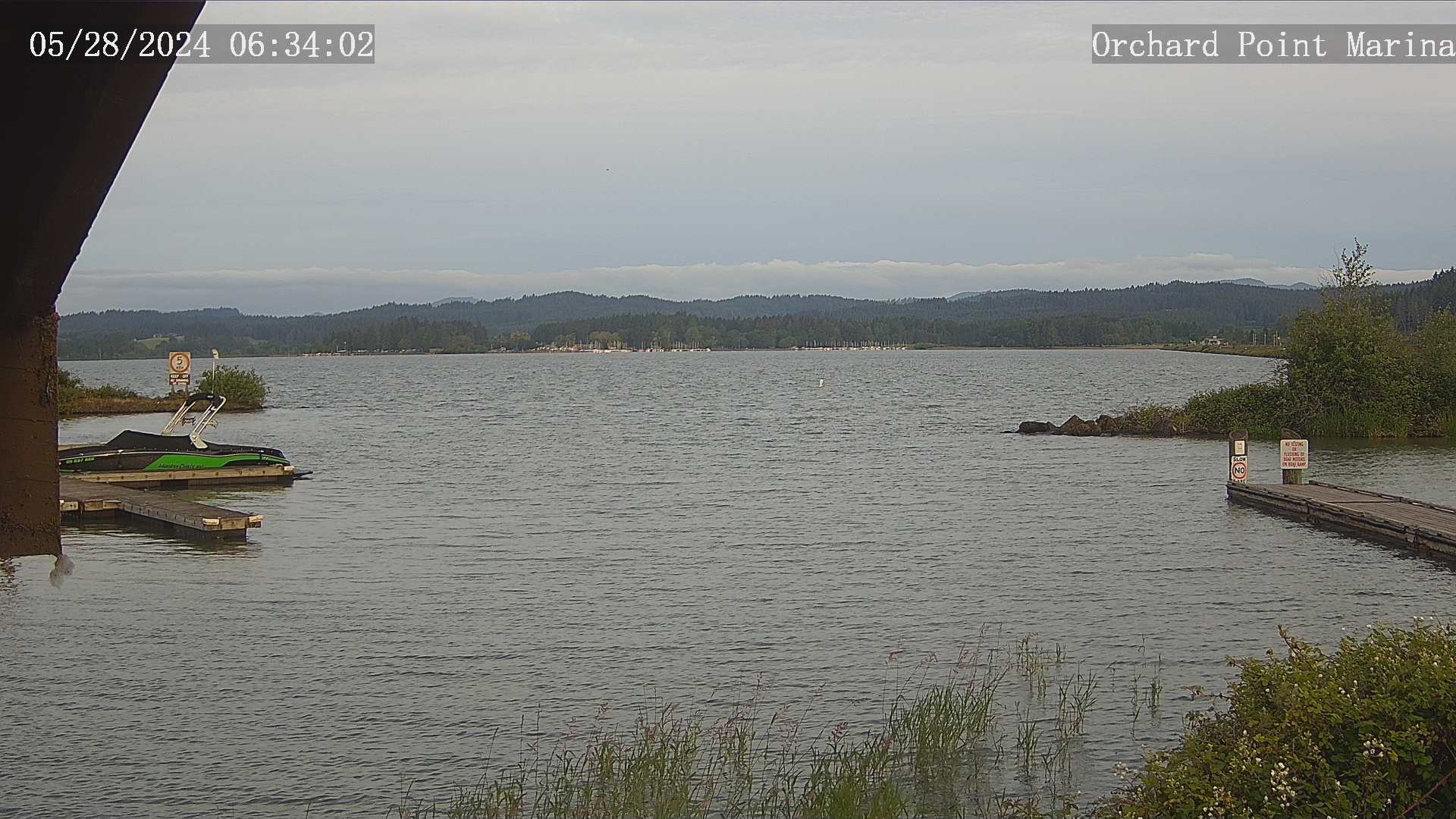
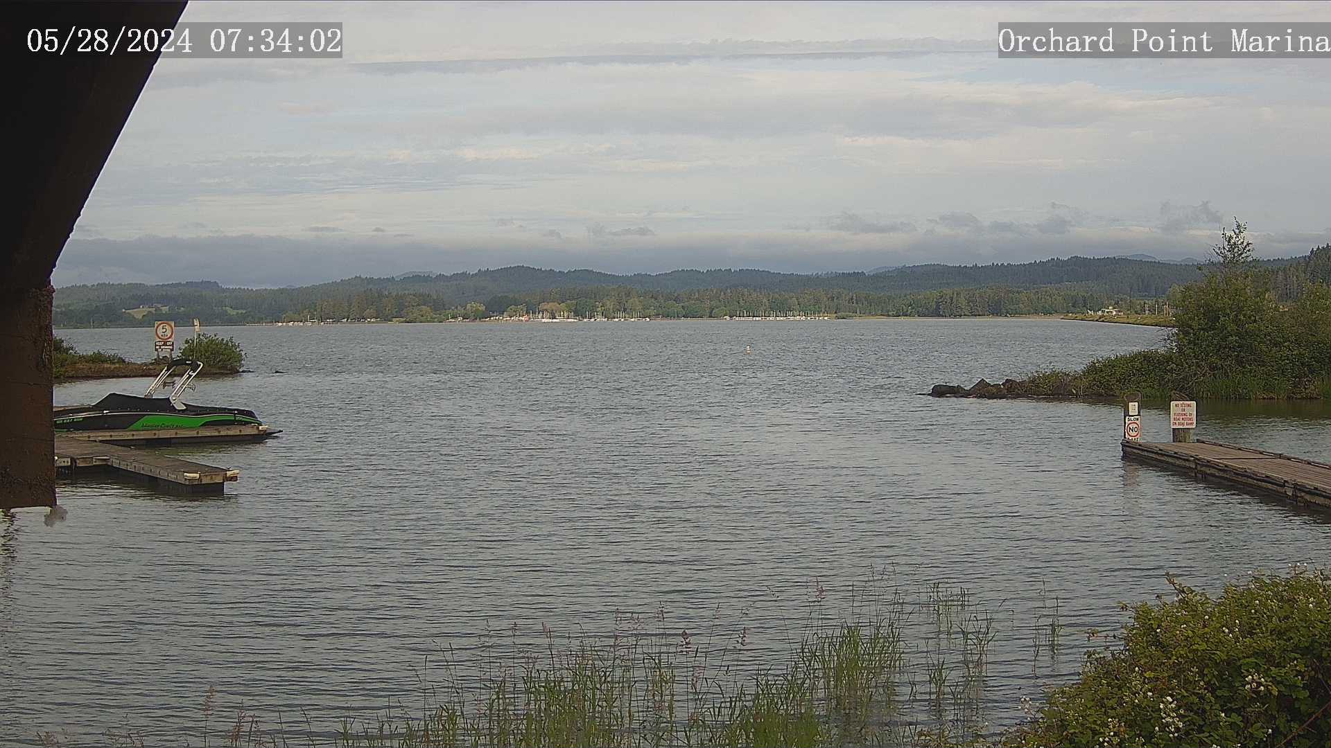
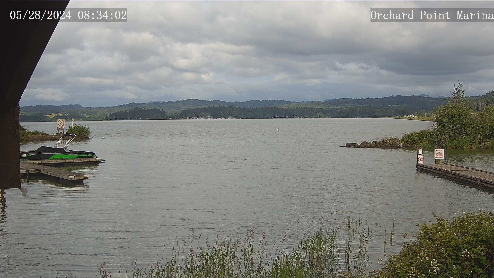
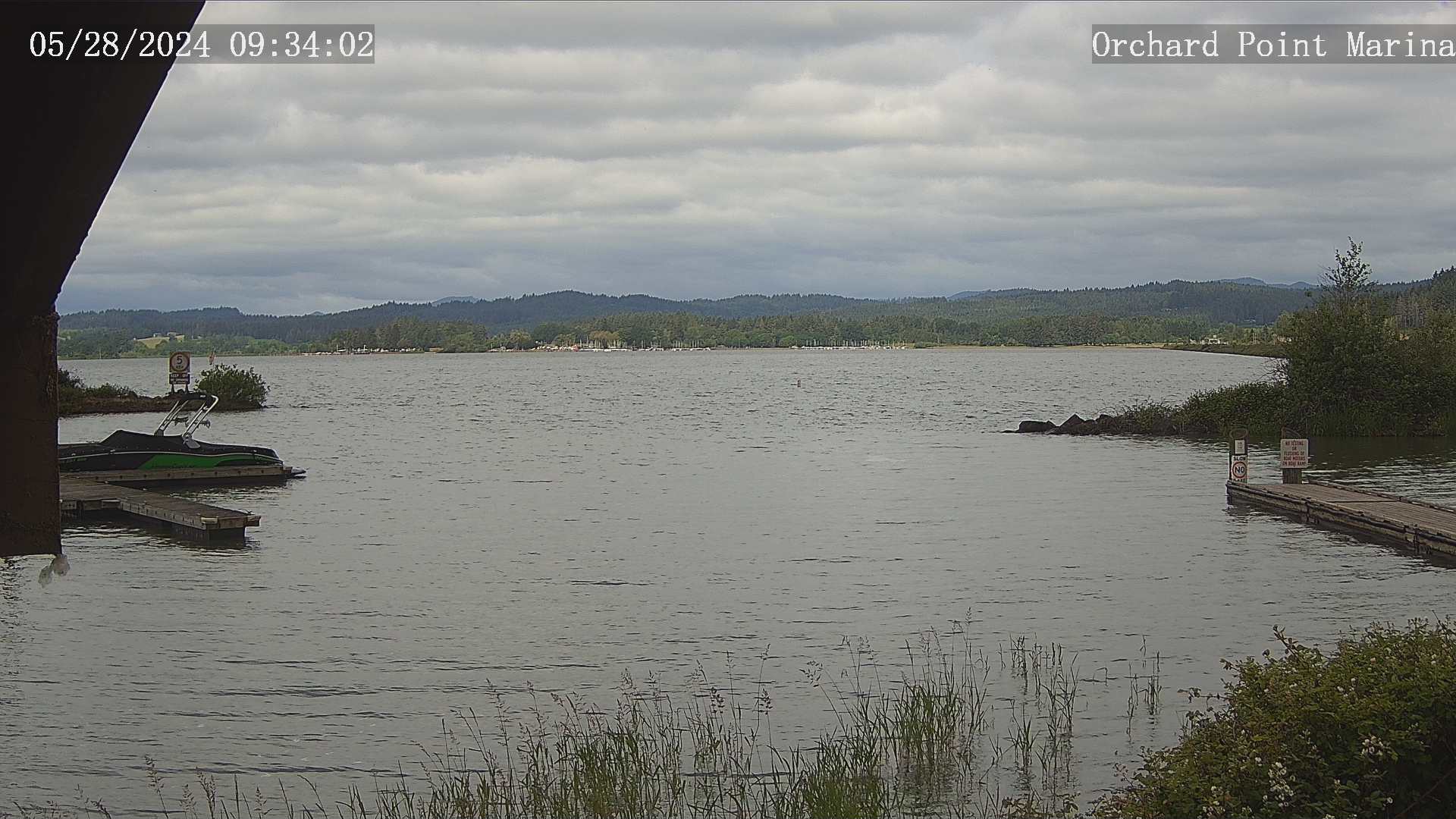
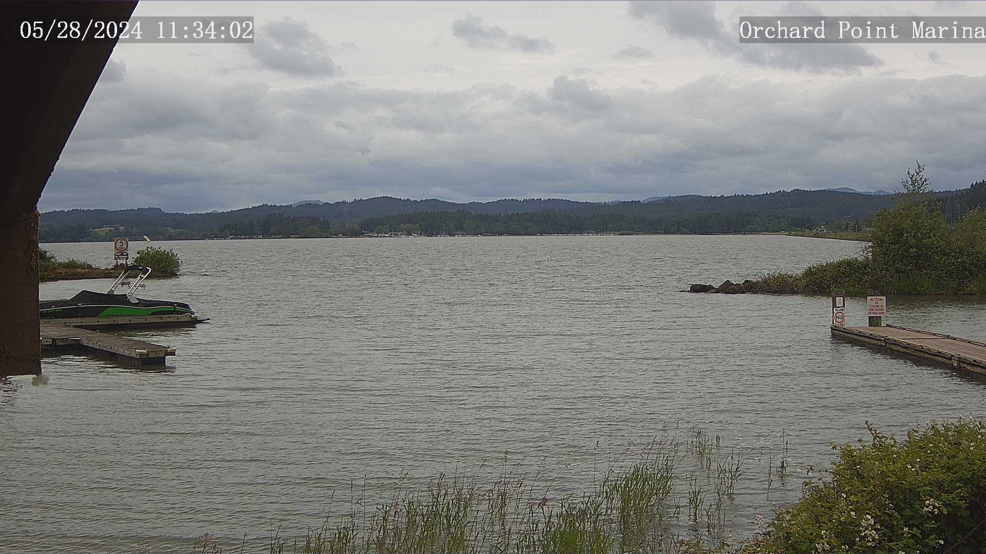
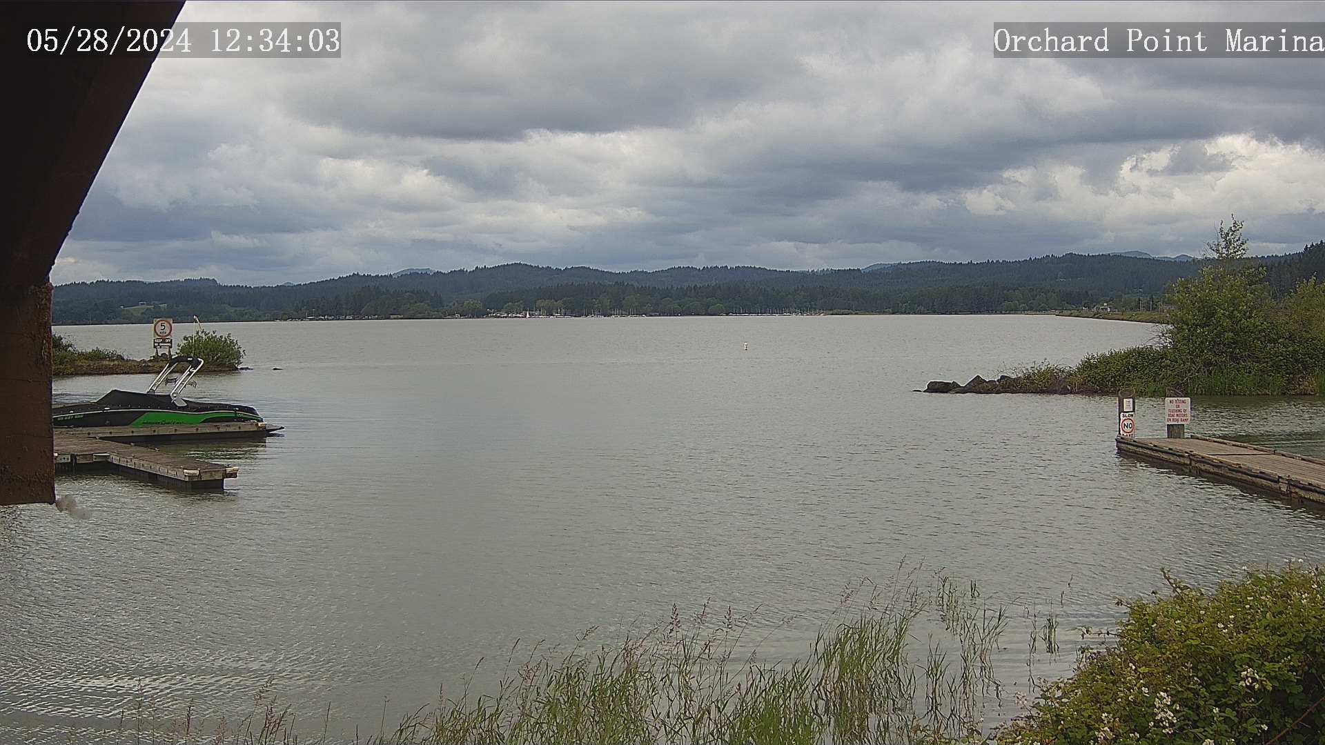
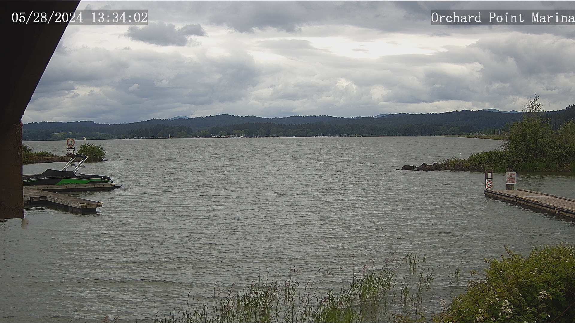
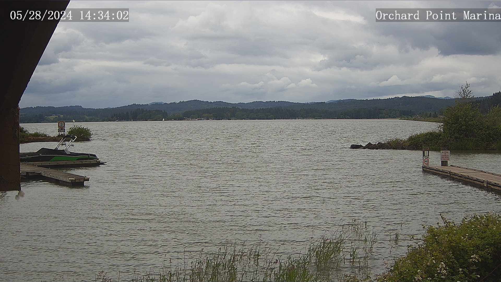
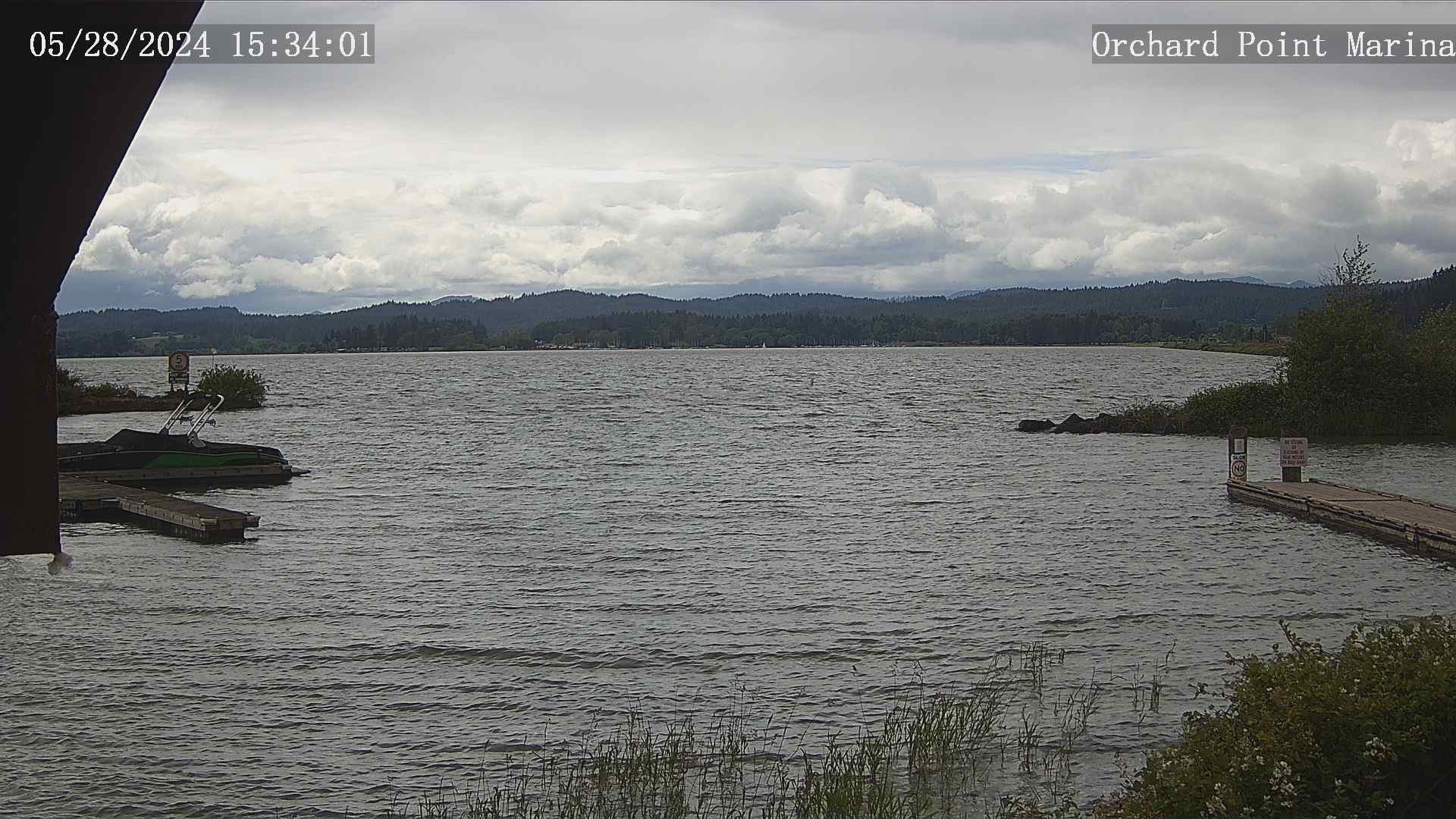
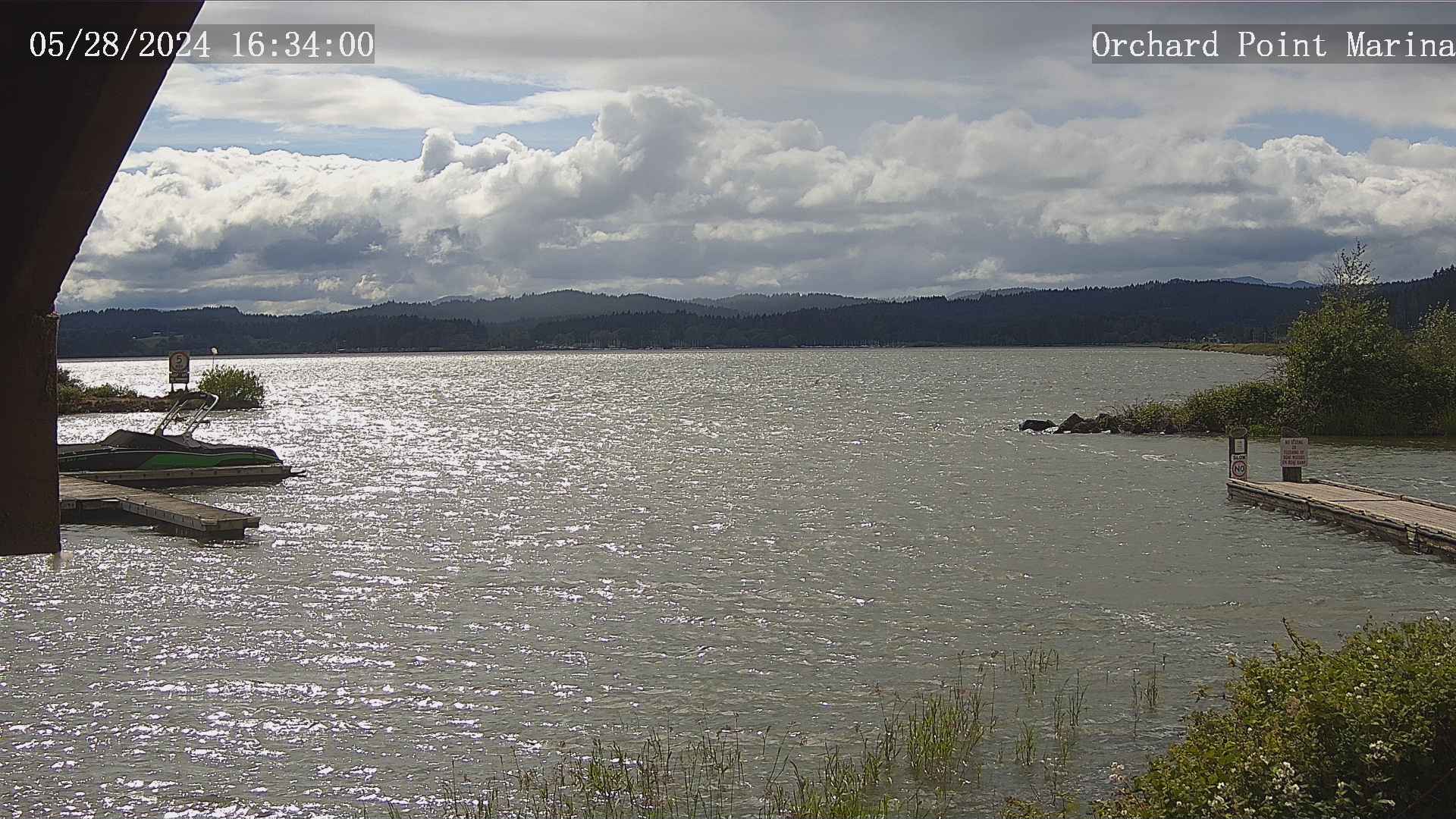
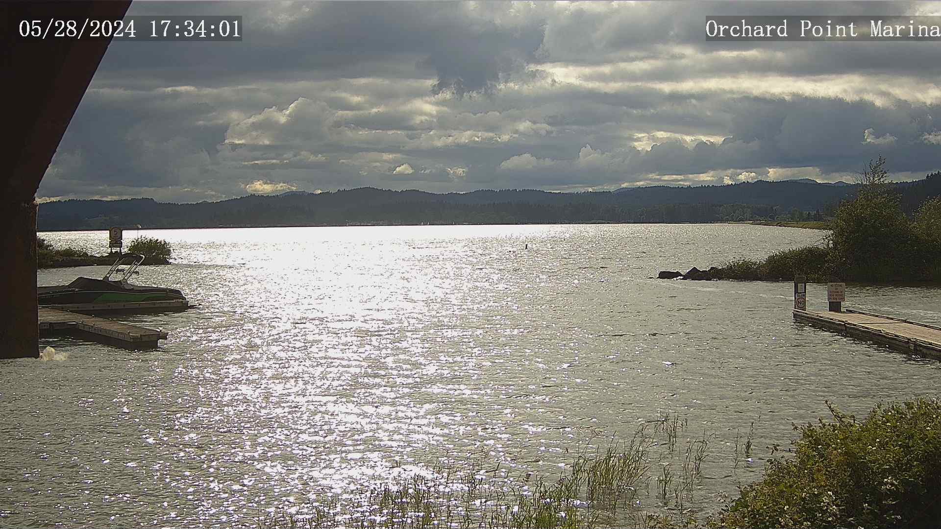
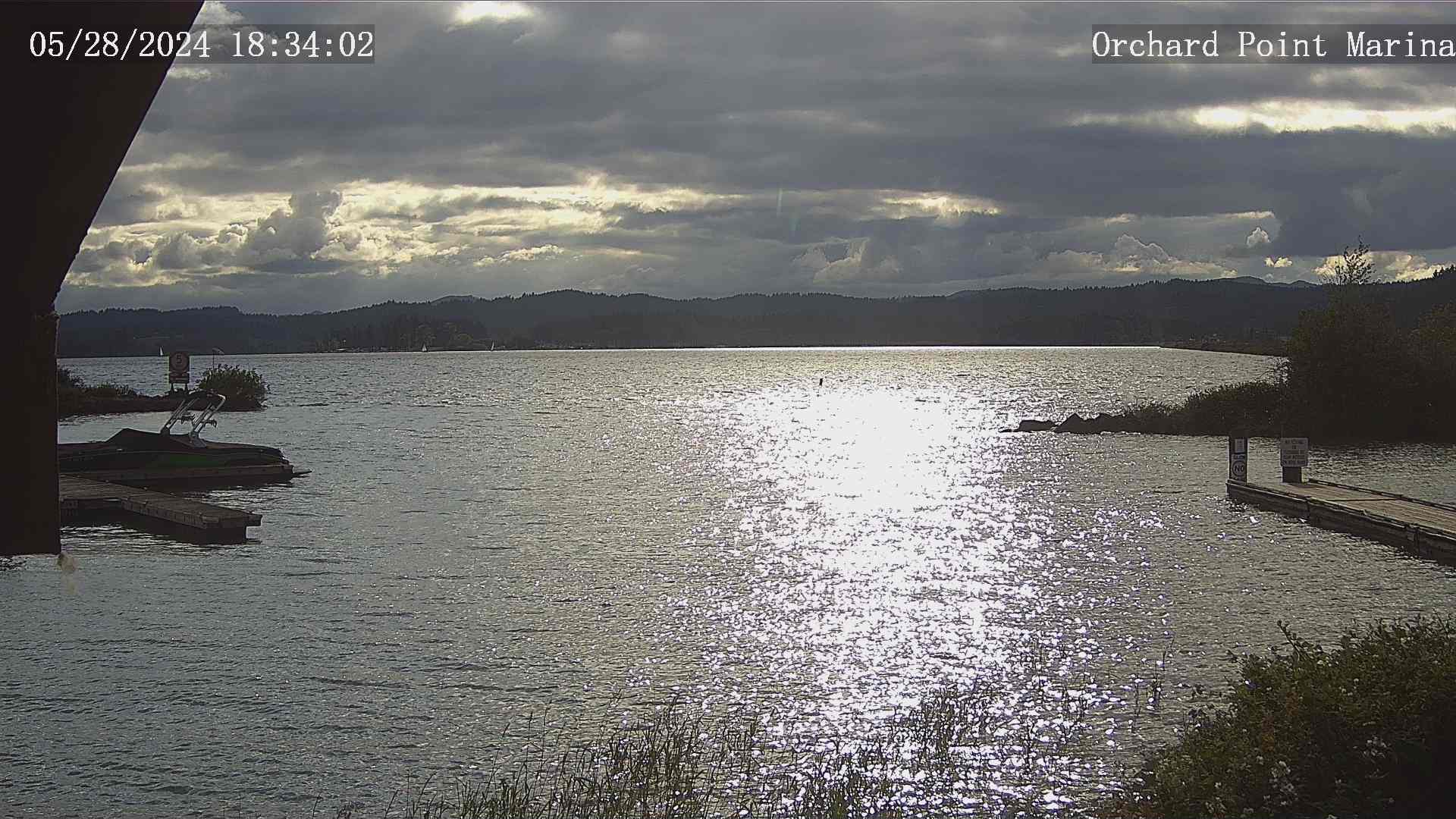
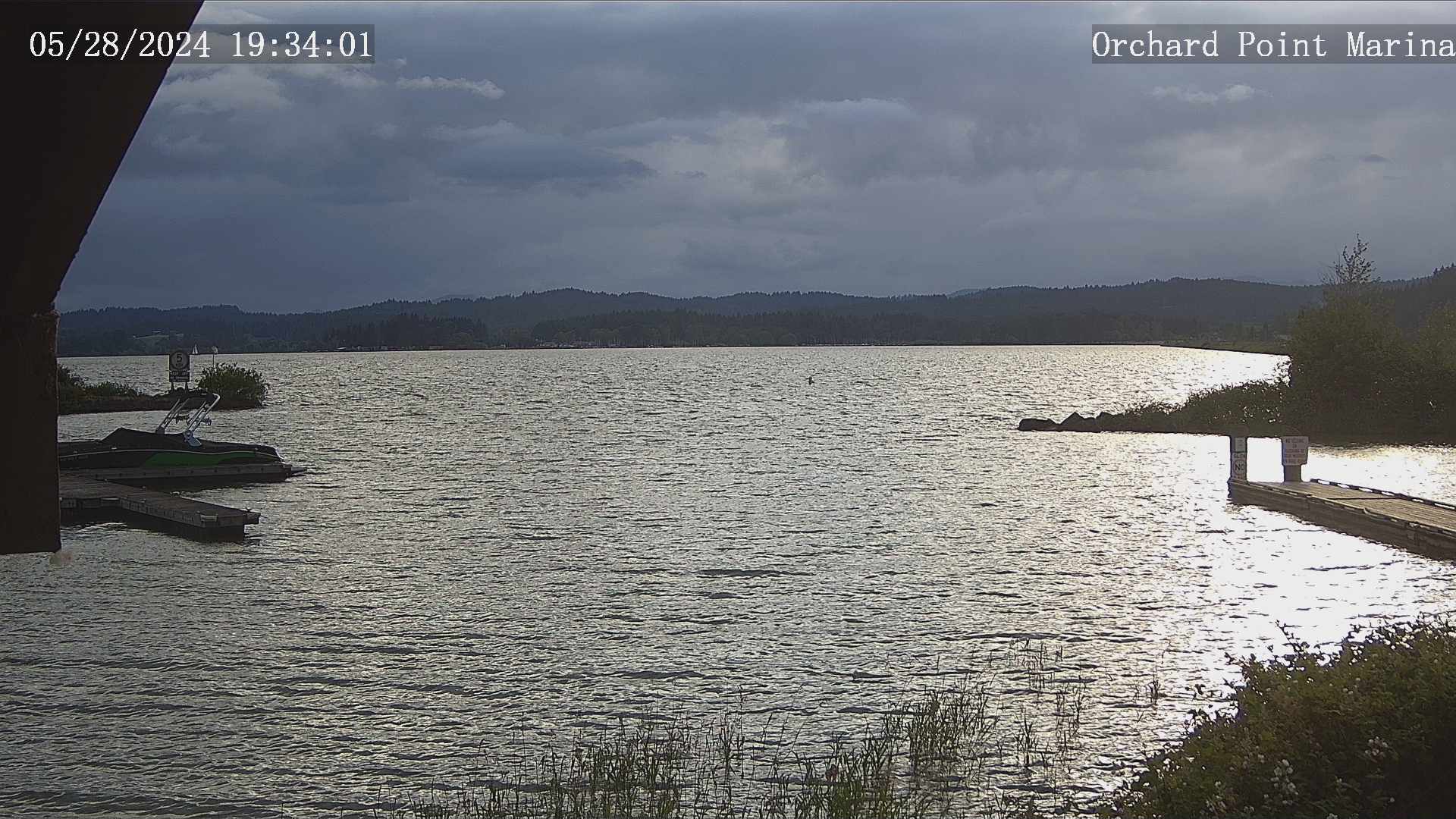
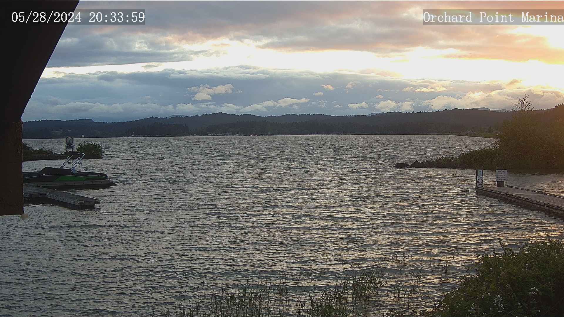
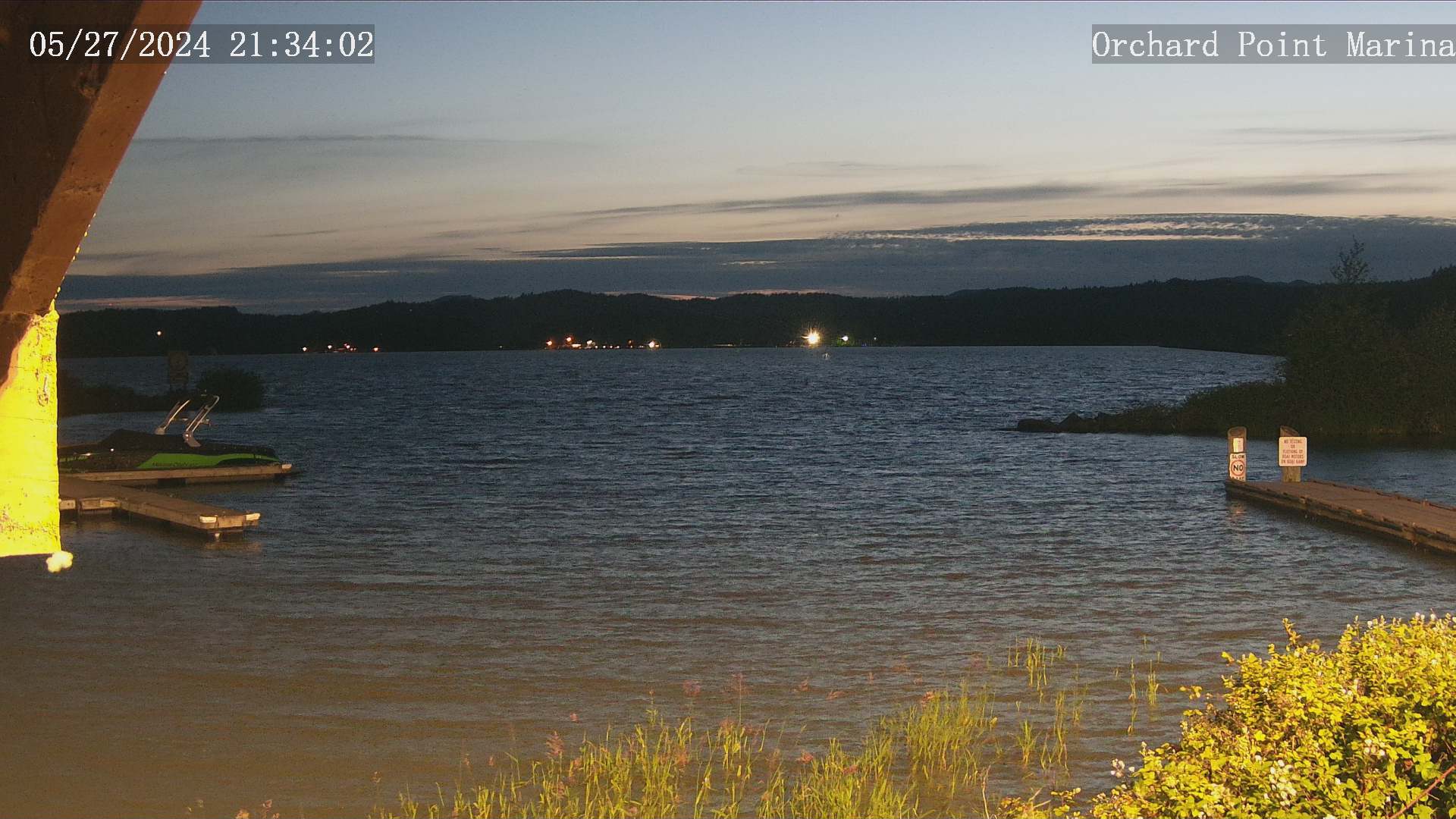
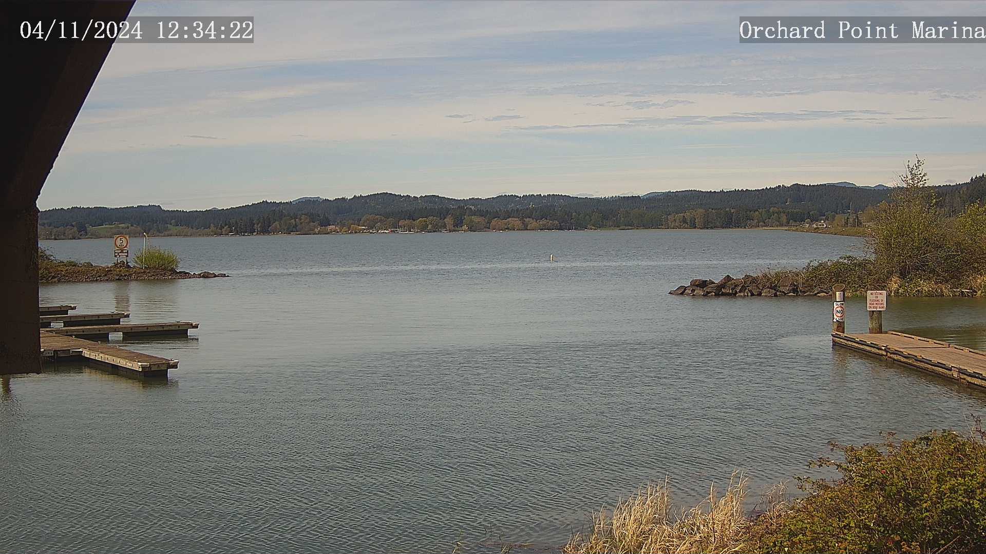
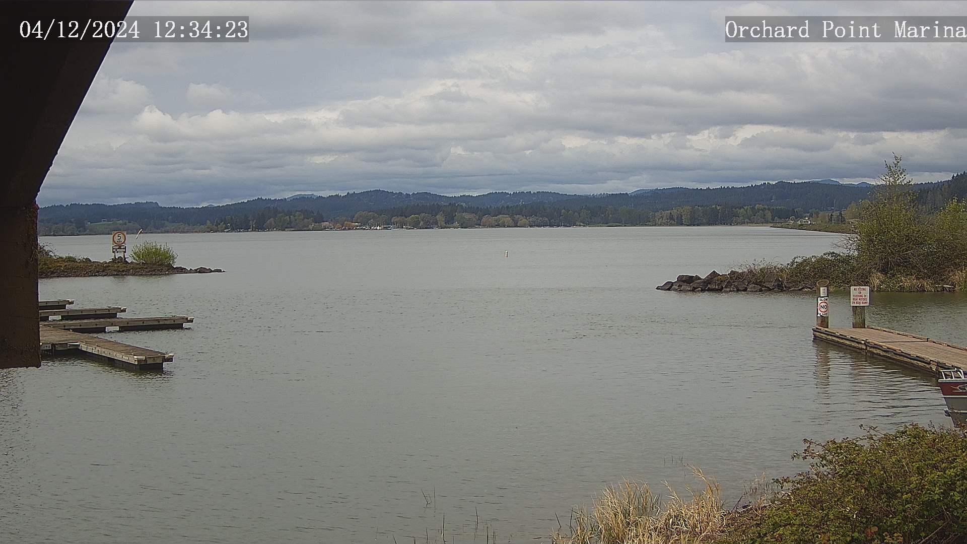
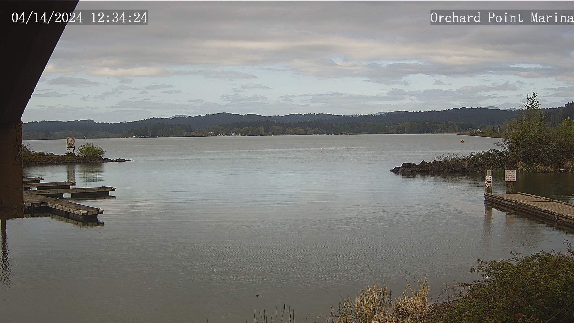
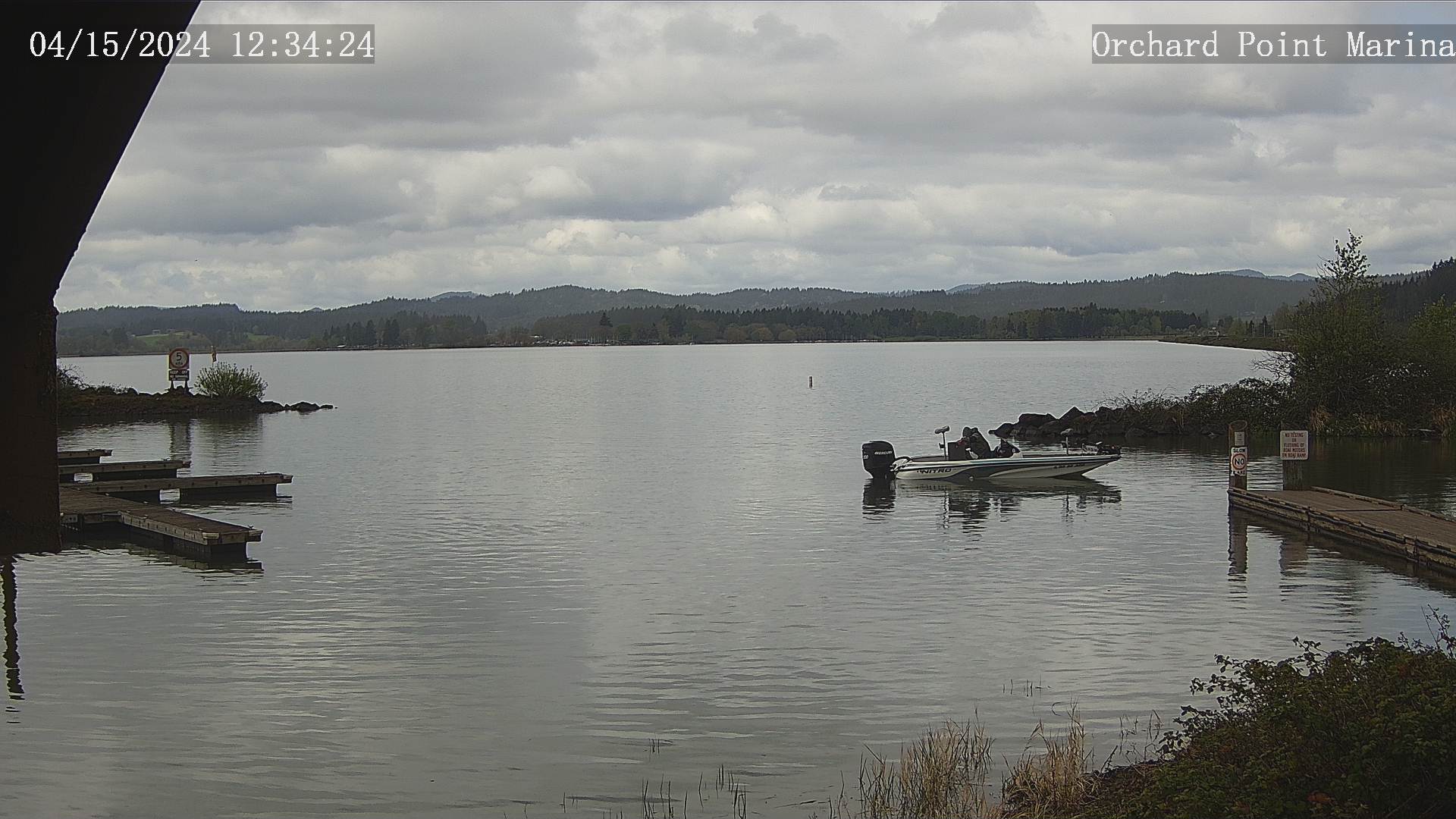
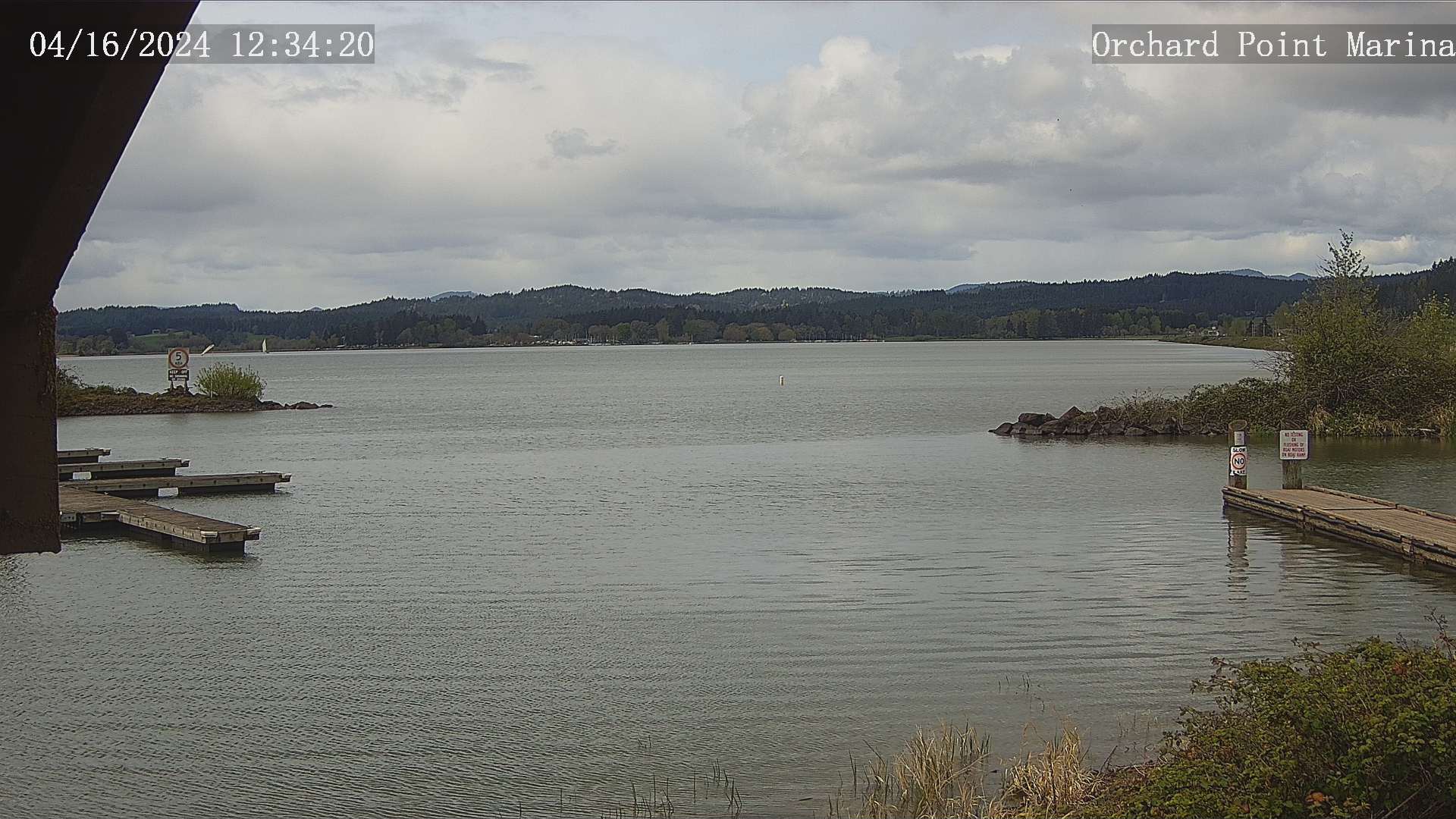
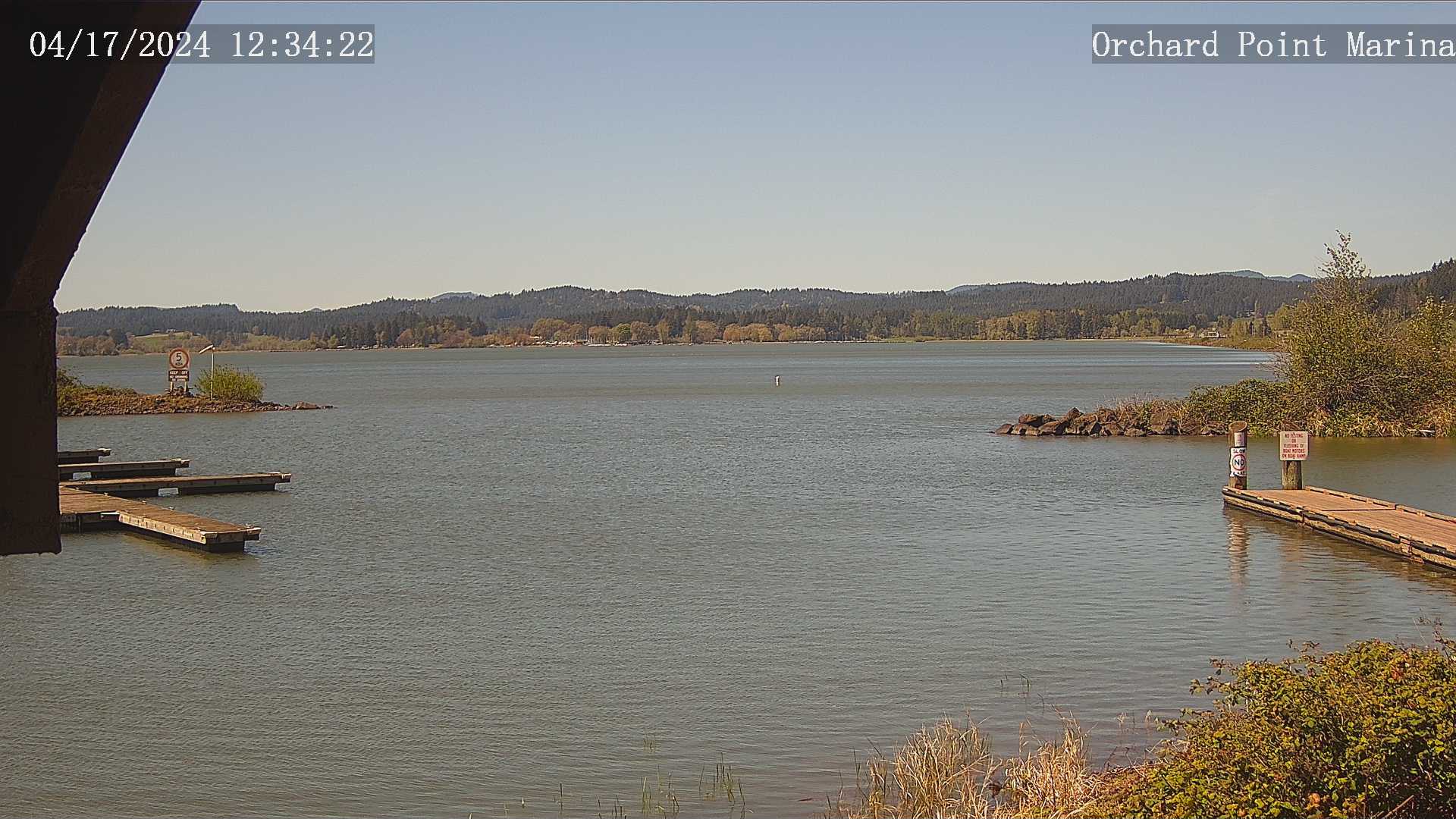
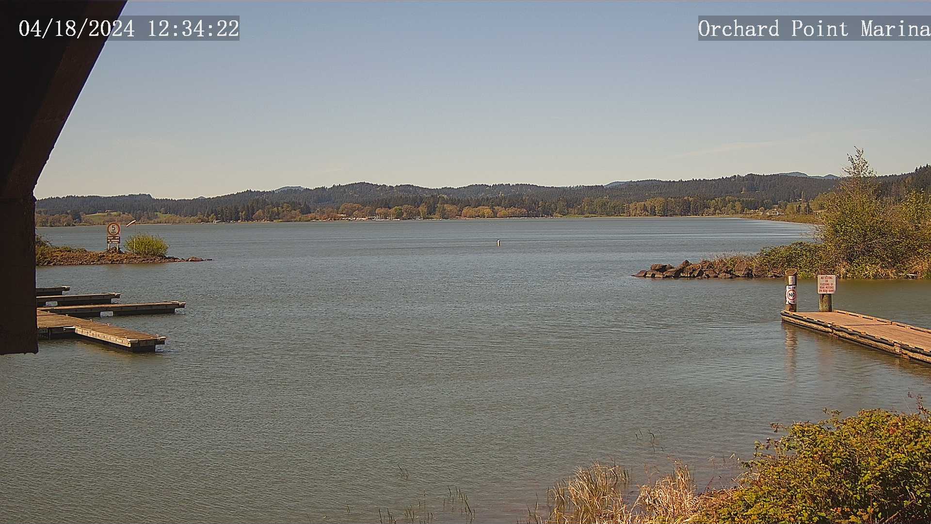
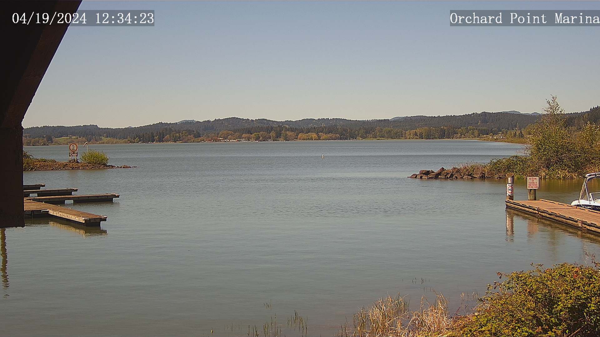
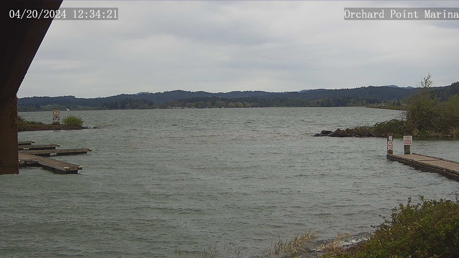
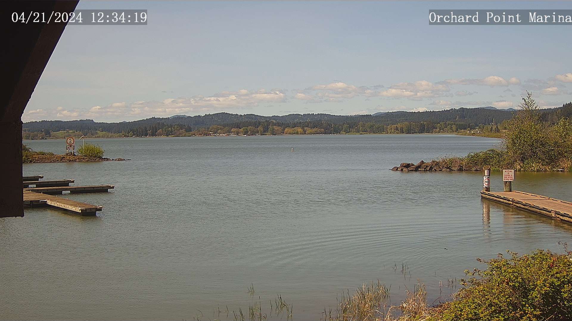
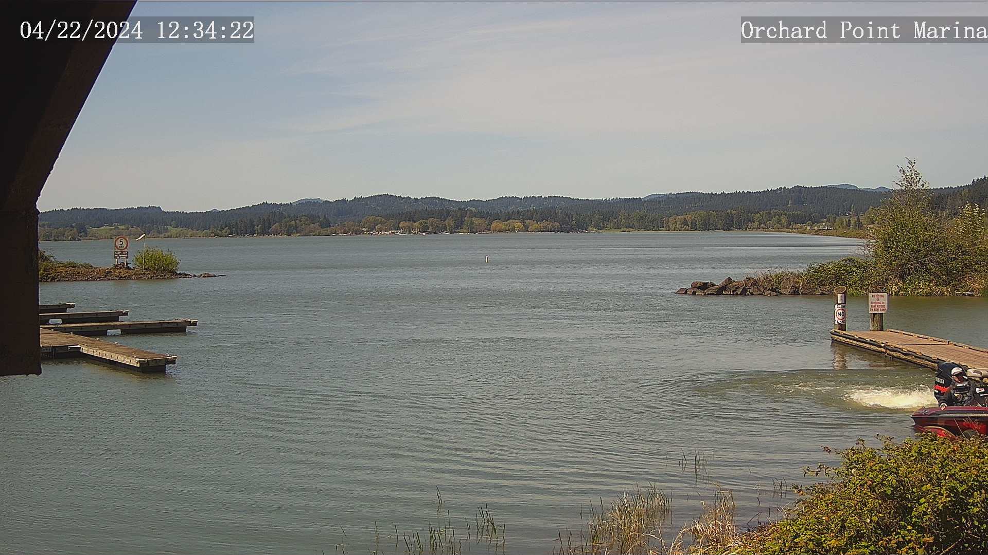
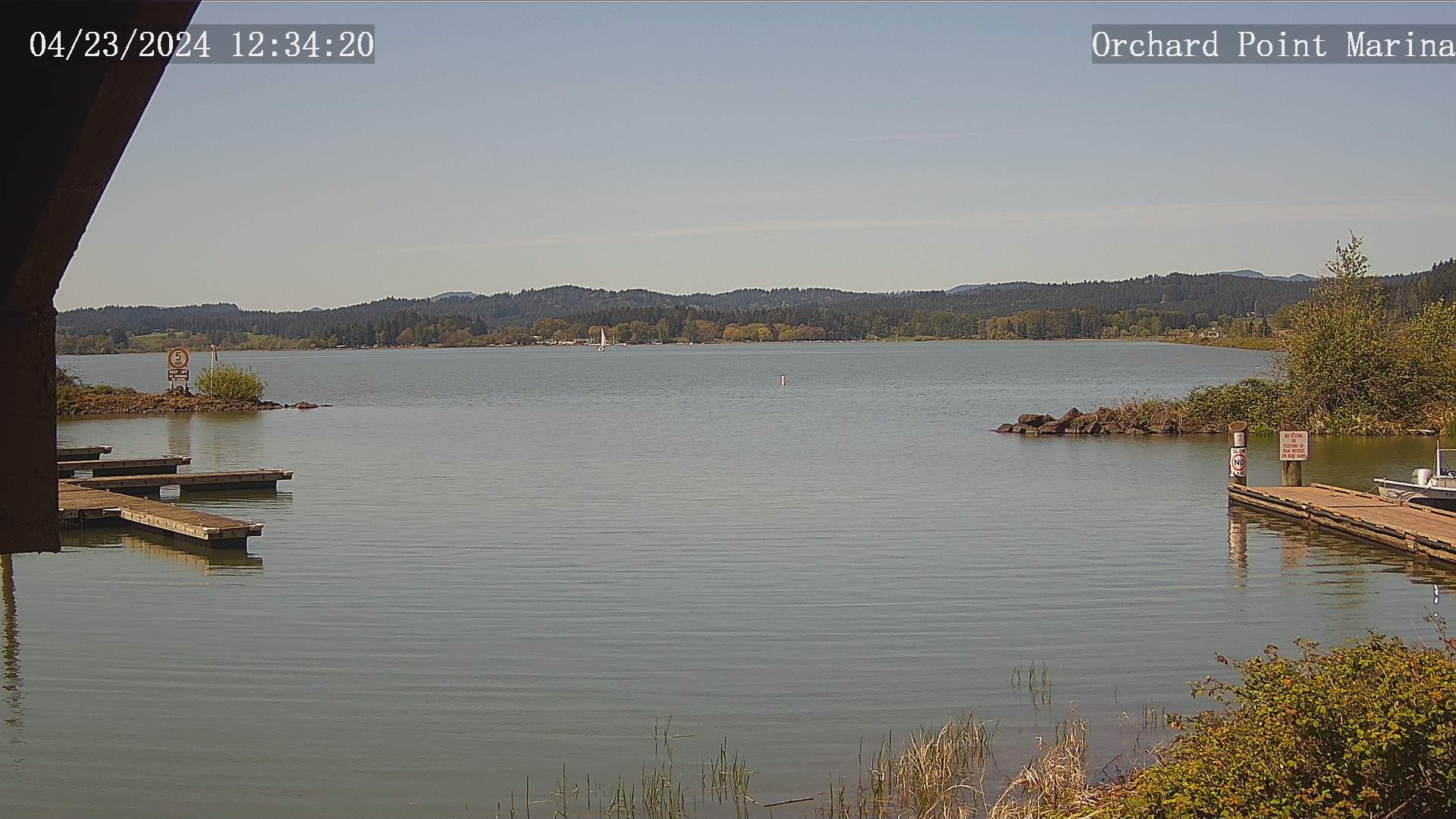
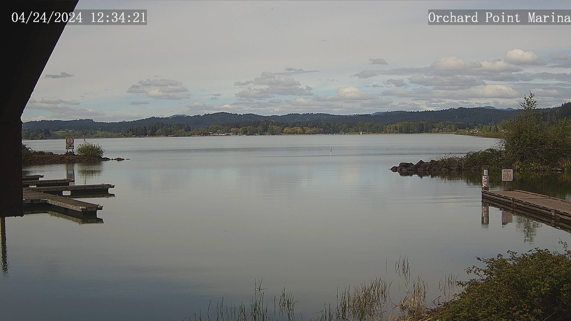
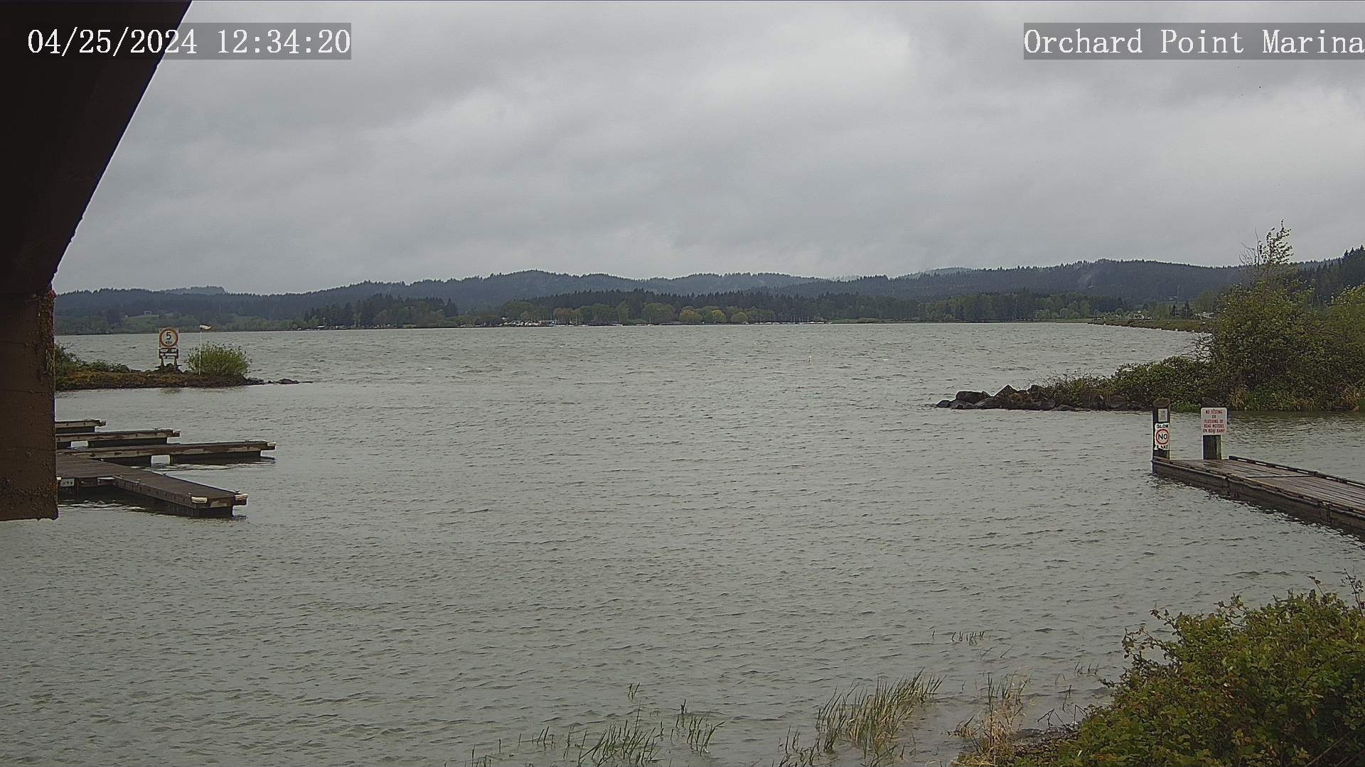
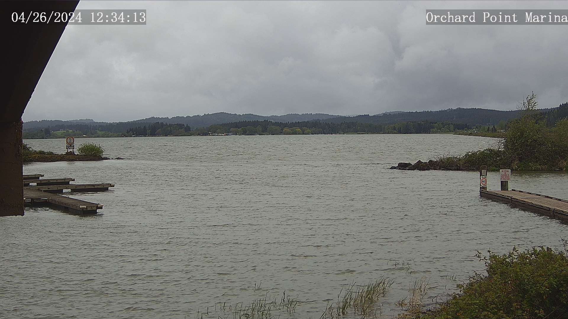
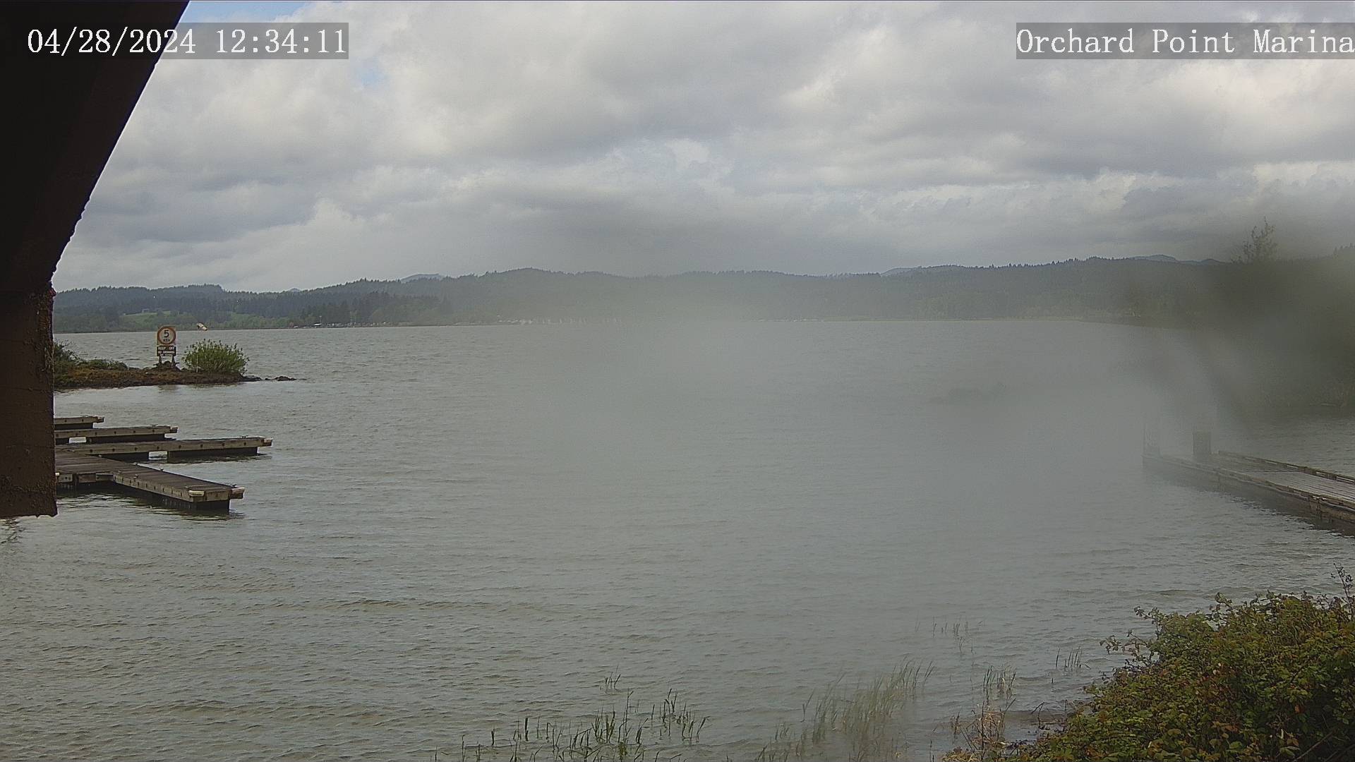
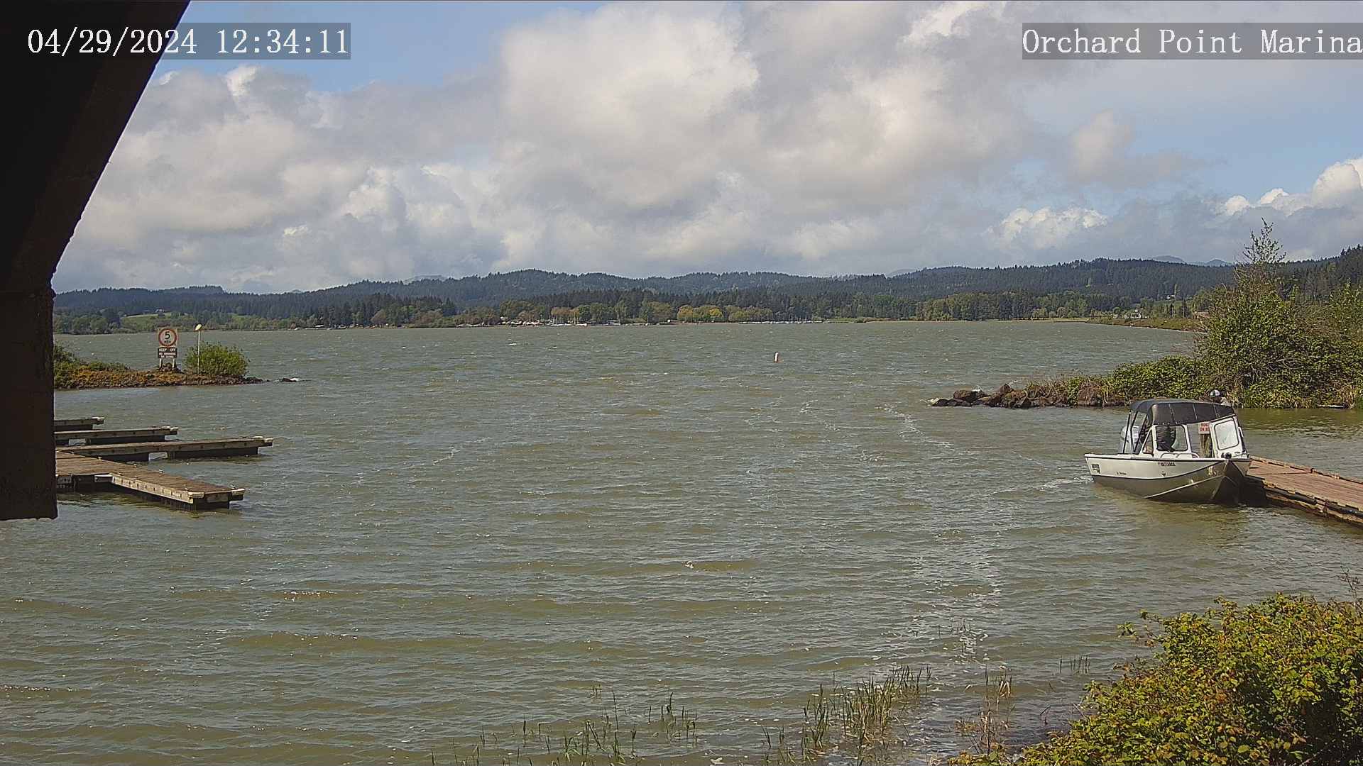
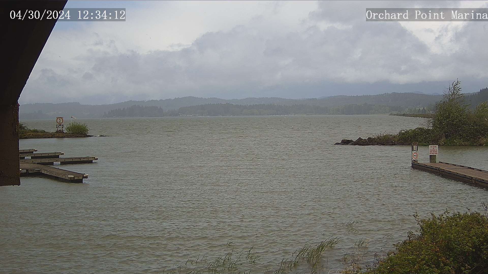
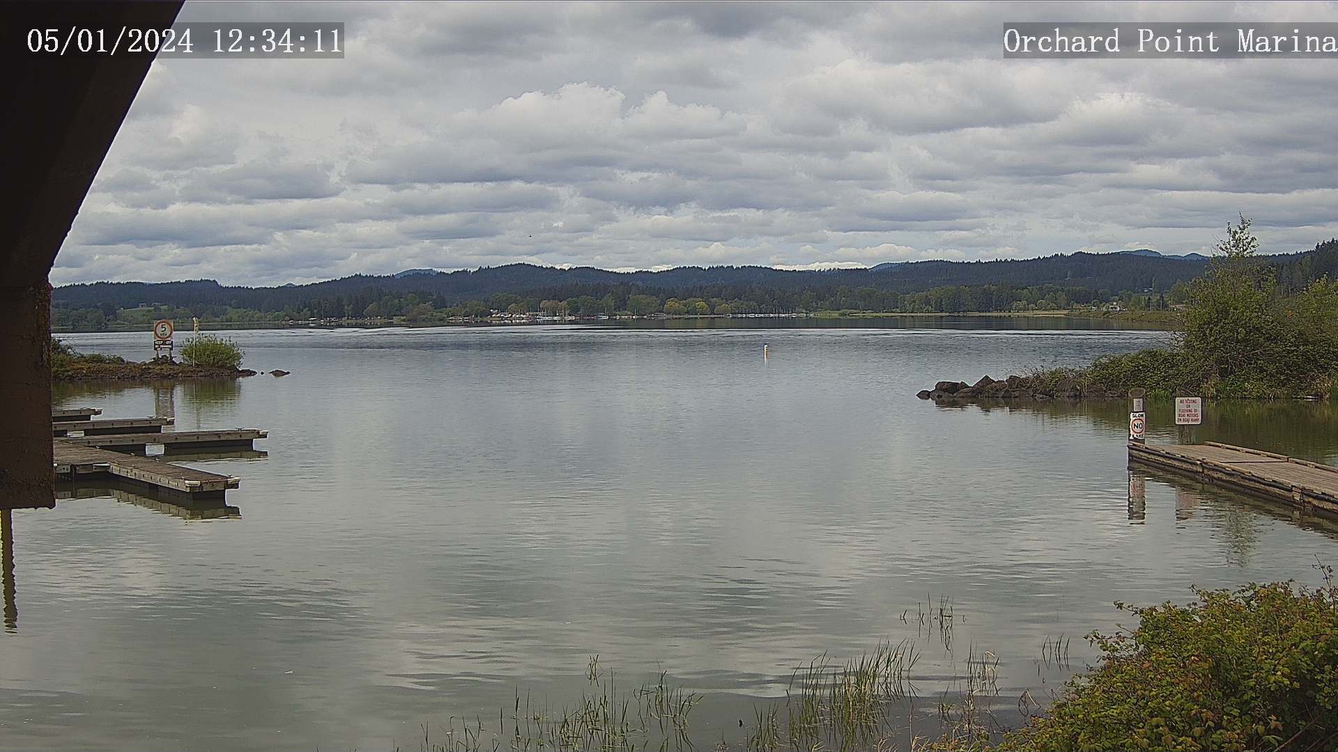
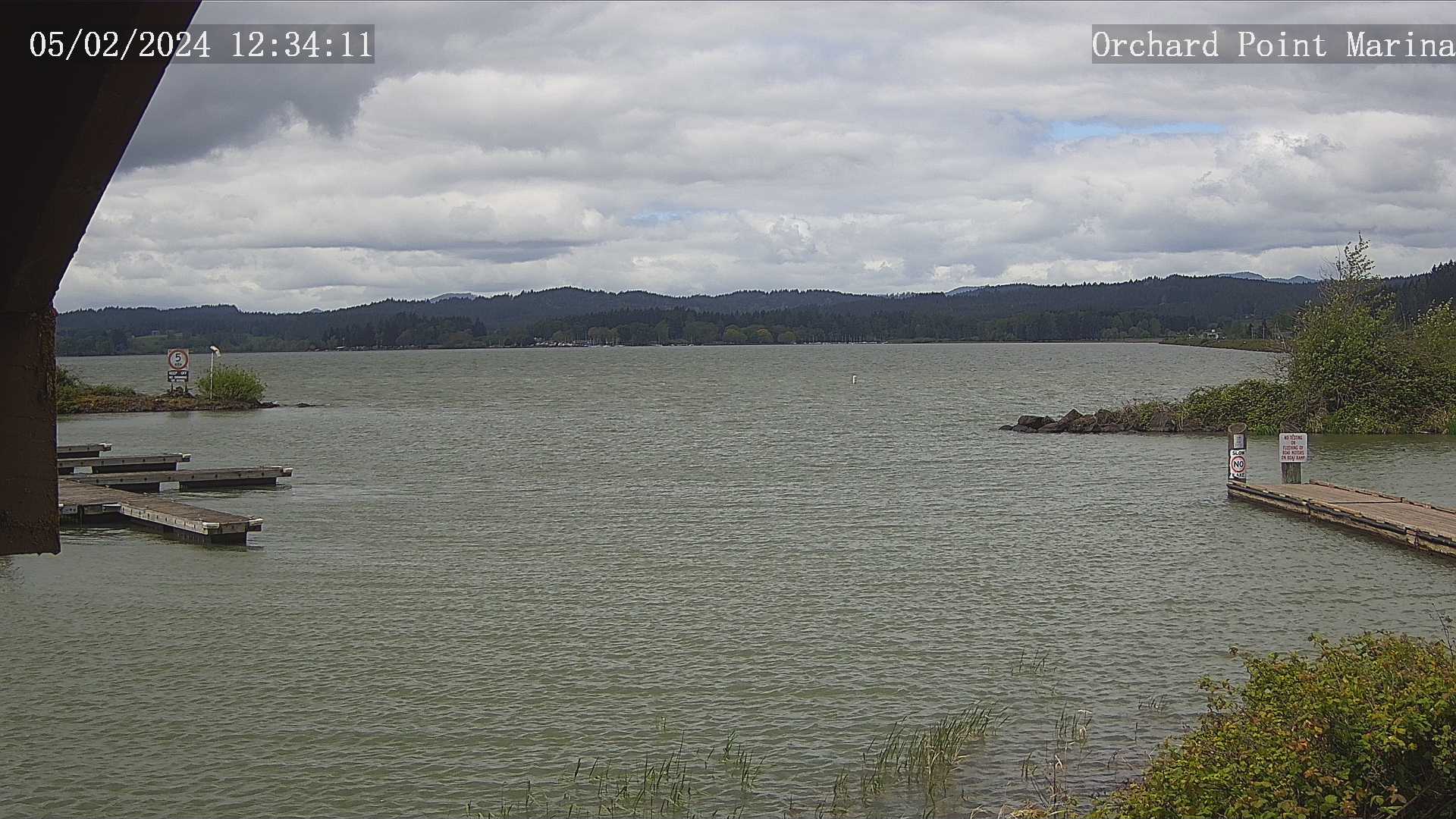
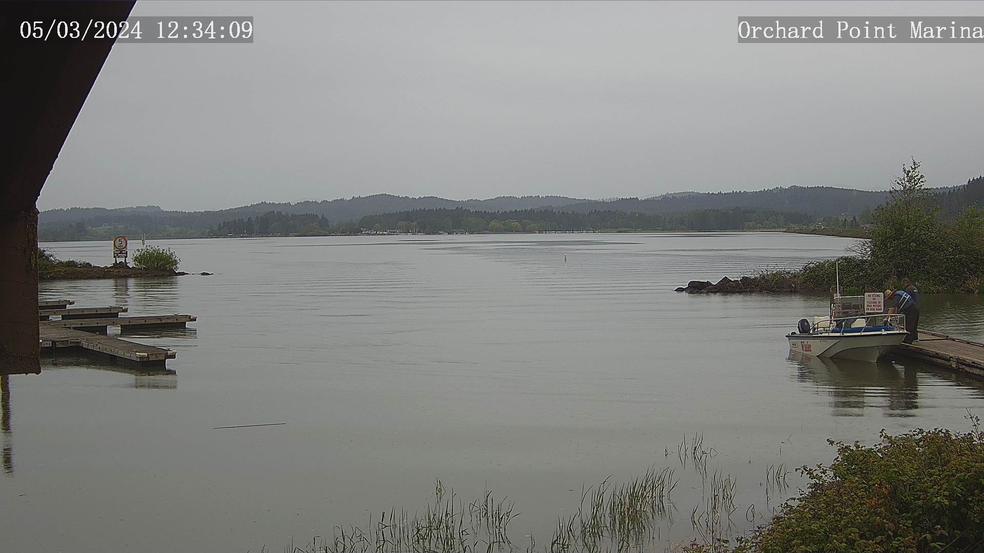
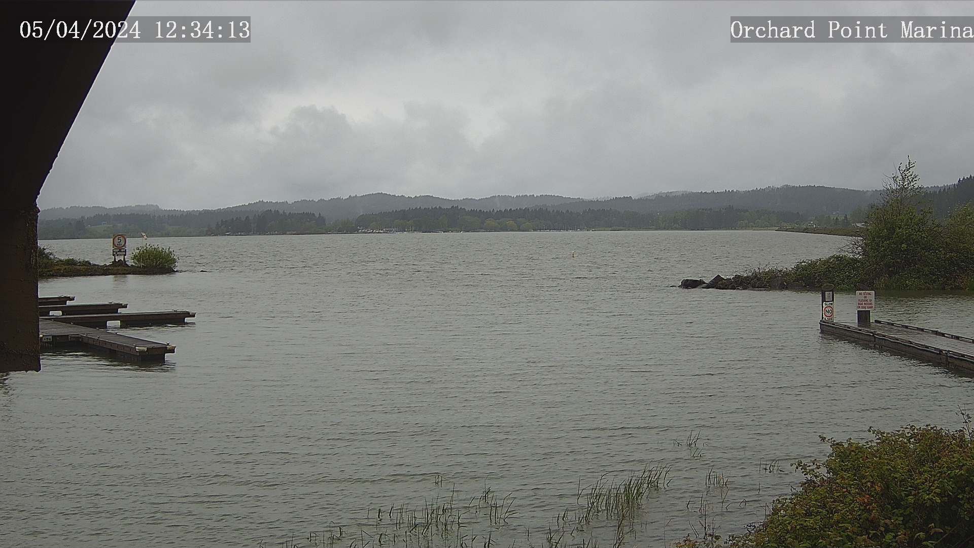
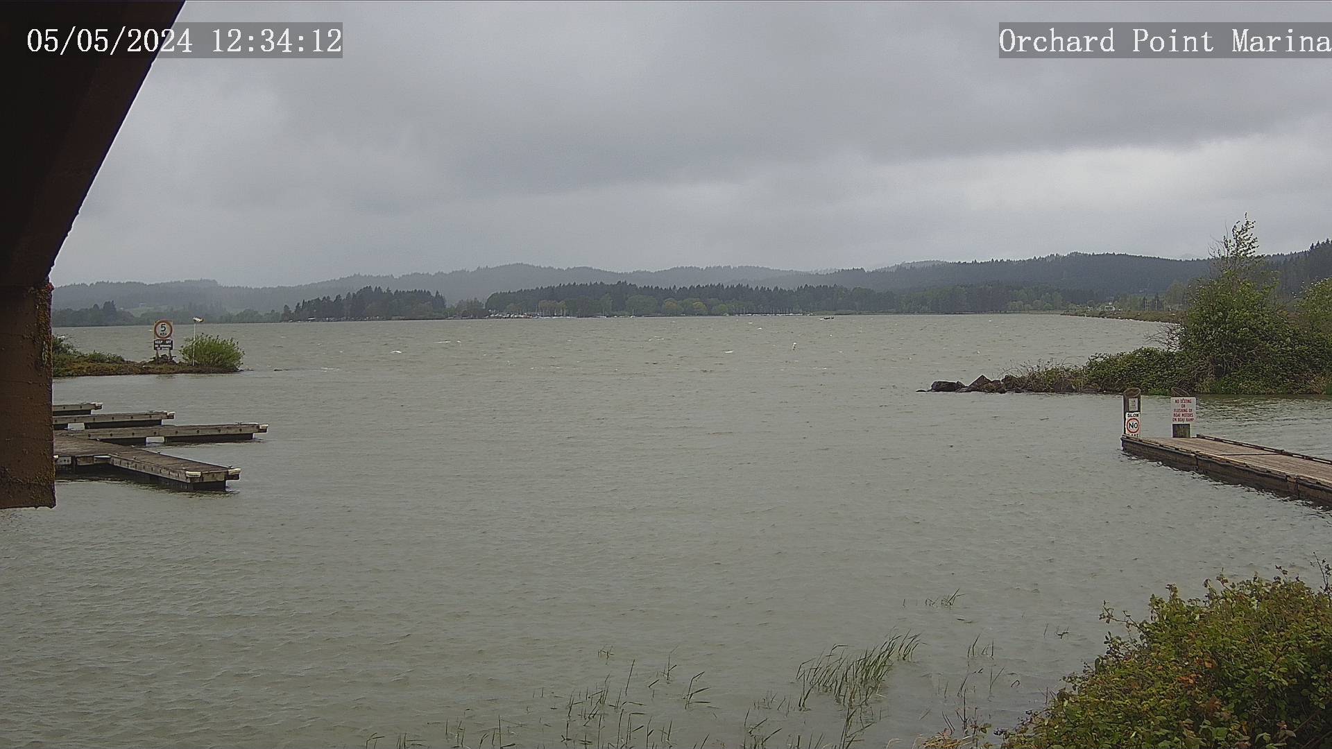
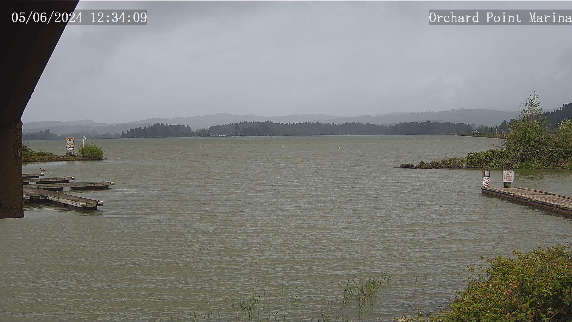
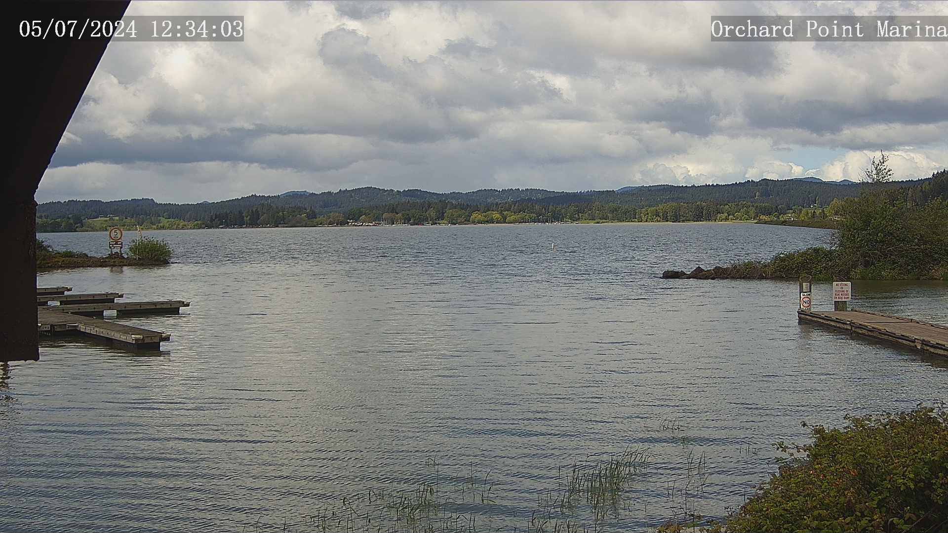
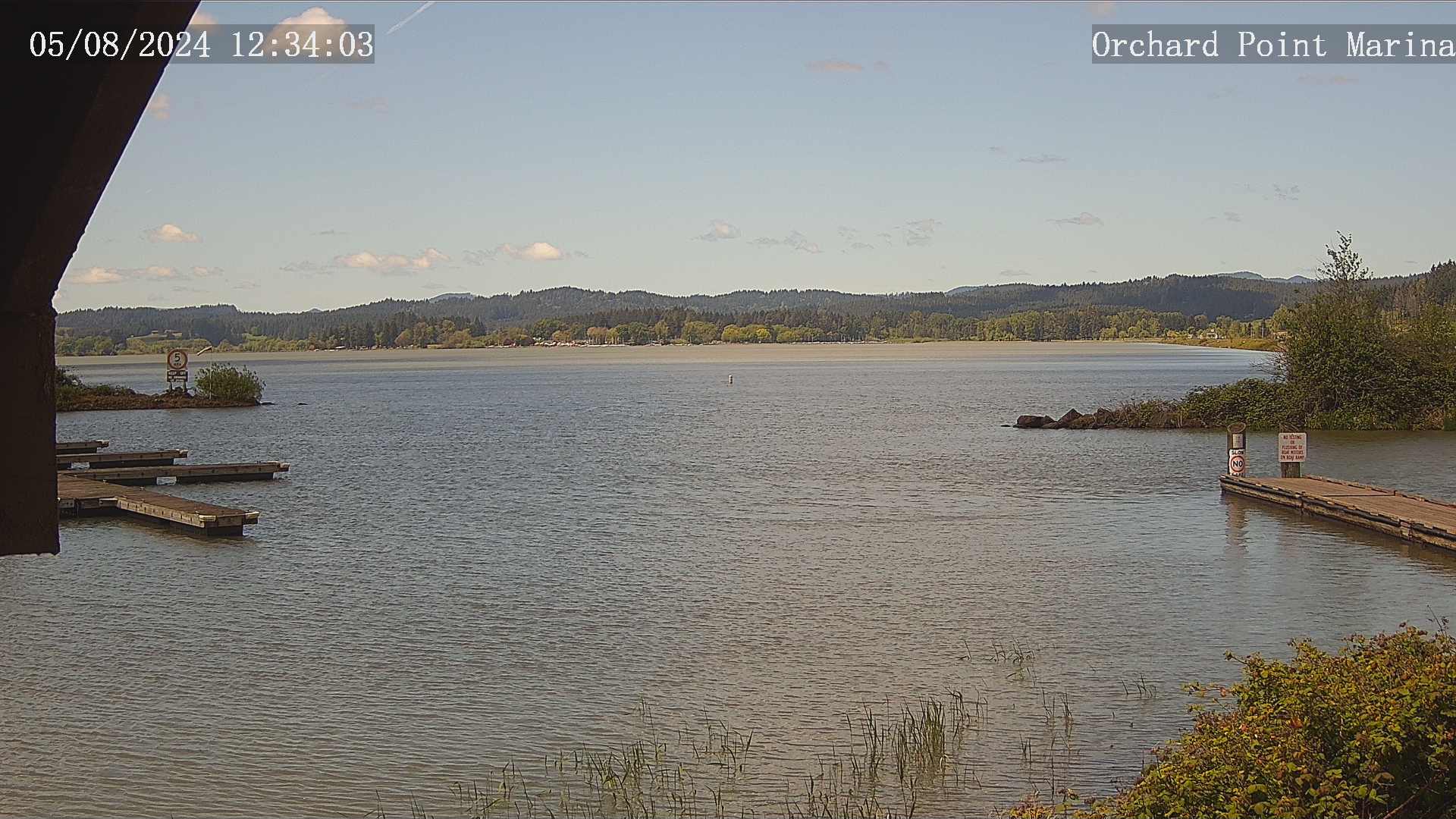
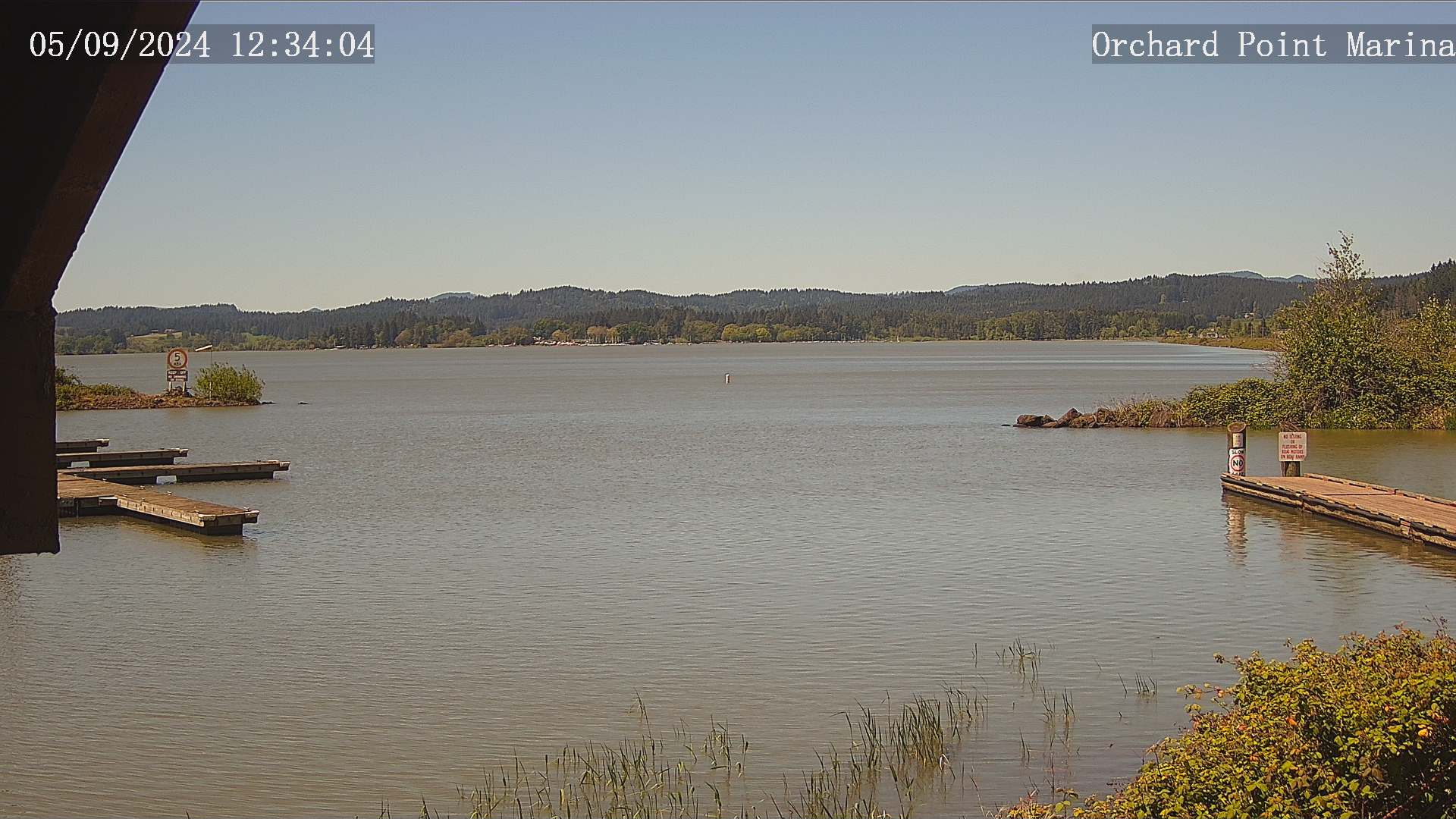
Eugene, Oregon, USA - 76.5 miles from Lavadoure (historical): Lane County Parks - Orchard Point, Harbor Vista, Mount Pisgah - Views of 3 Lane County parks including Orchard Point, Harbor Vista, Mount Pisgah. Orchard Point is the boat ramp at Fern Ridge. You can see the water conditions and wind sock.
Operator: Lane County
Operator: Lane County


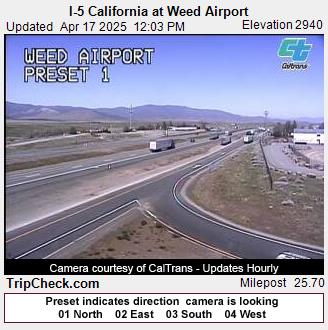
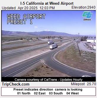
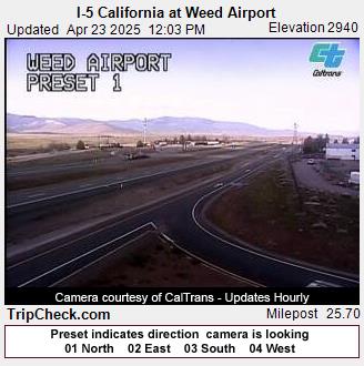
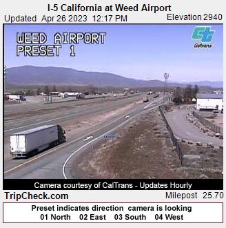
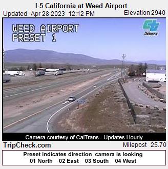
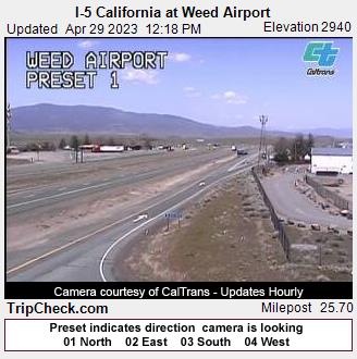
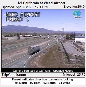
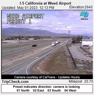
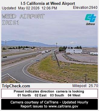
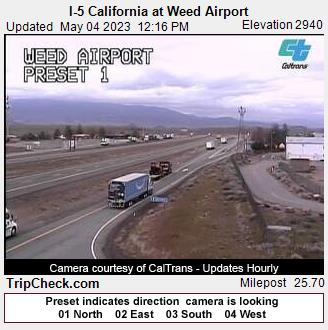
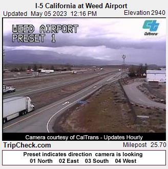
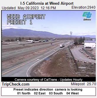
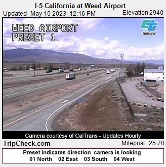
Weed, California, USA - 111.3 miles from Lavadoure (historical): I-5 California at Weed Airport - A view of the current traffic situation on the I-5.
Operator: Oregon Department of Transportation
Operator: Oregon Department of Transportation


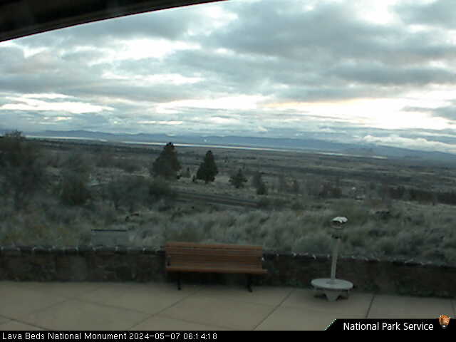
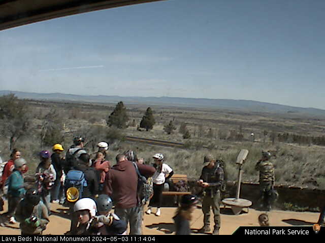
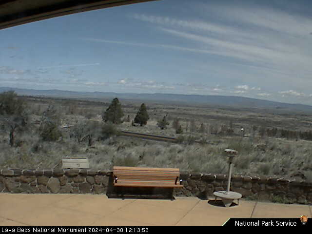
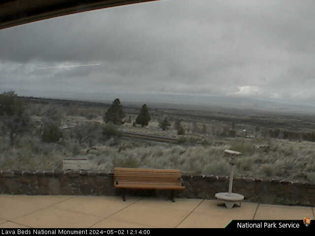
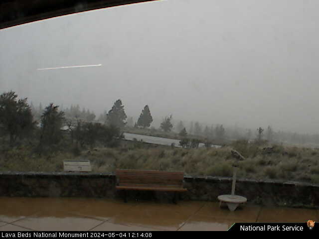
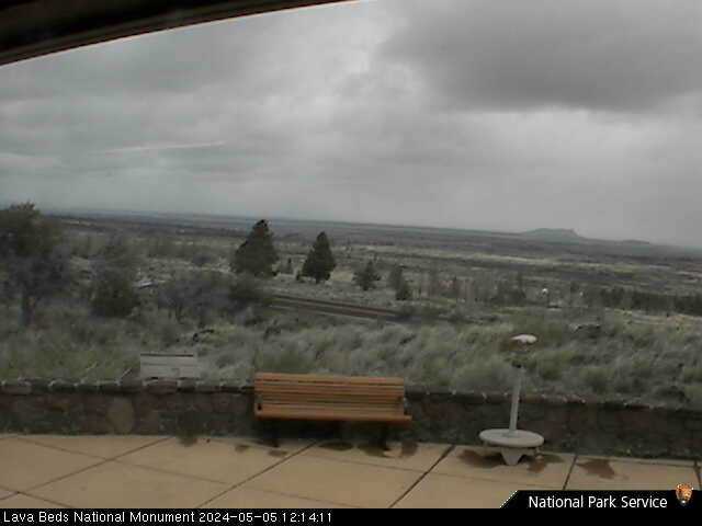
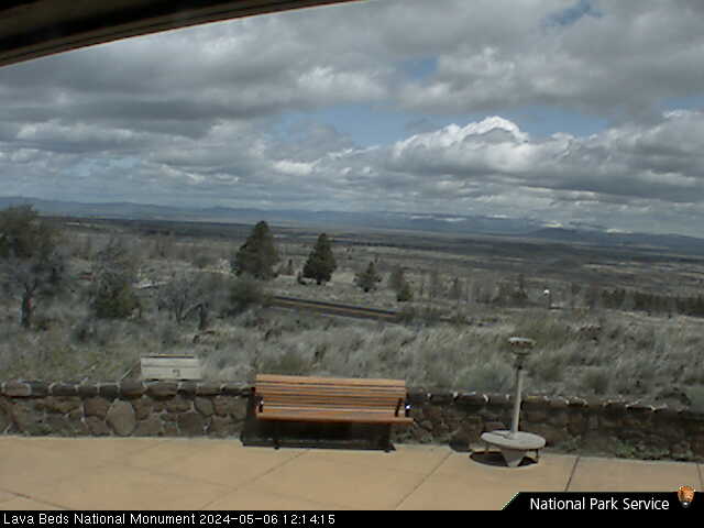
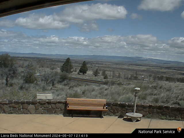
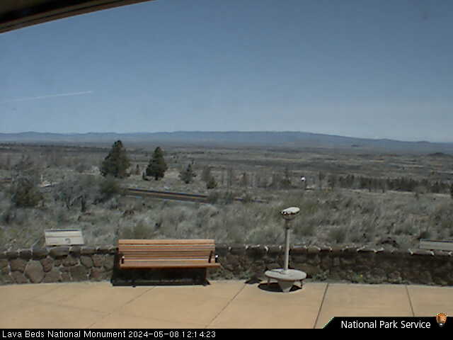
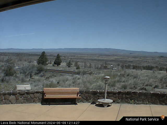
Lava Beds National Monument, California, USA - 116.1 miles from Lavadoure (historical): Lava Beds Visitor Center - A view in northern direction from the Lava Beds National Monument Visitor Center.
Operator: U.S. National Park Service
Operator: U.S. National Park Service


Some other places in this country: Denver (historical) - Booth (historical) - Anchor (historical) - Surprise Valley - Fishhawk (historical) - Kyser (historical) - Hudson (historical) - Necanicum (historical) - Barnegat (historical) - Foley (historical)