Webcams in the region of Fort Boise (historical), Idaho, USA
The List of Webcams near Fort Boise (historical), Idaho, USA:
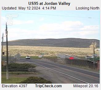
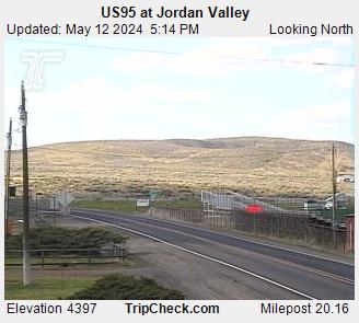
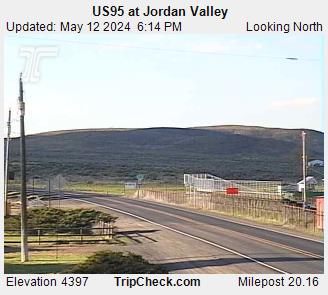
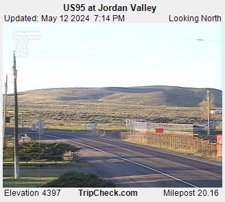
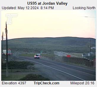
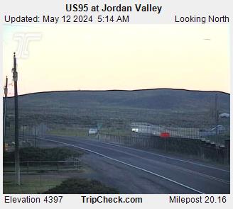
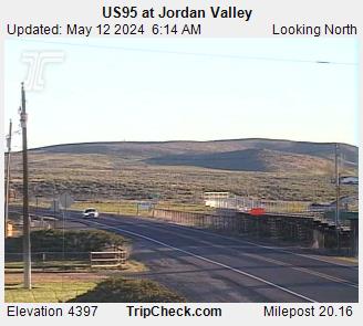
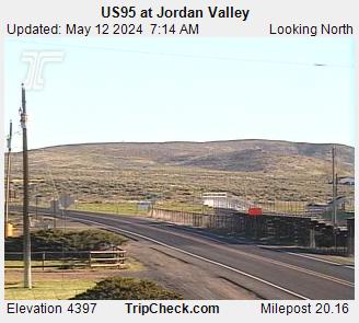
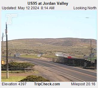
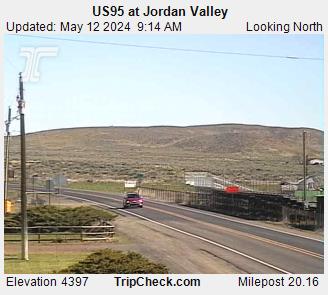
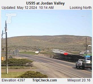
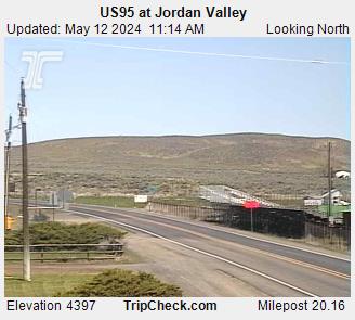
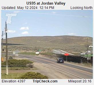
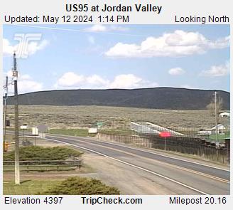
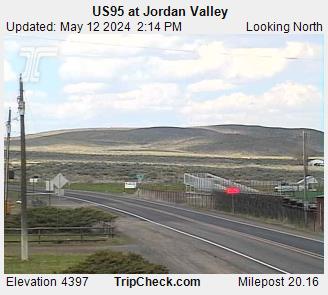
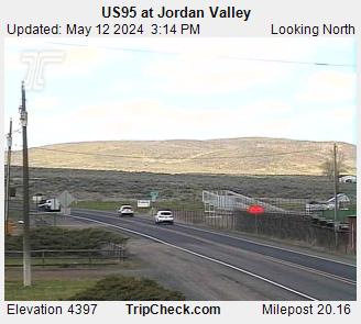
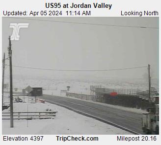
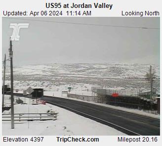
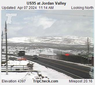
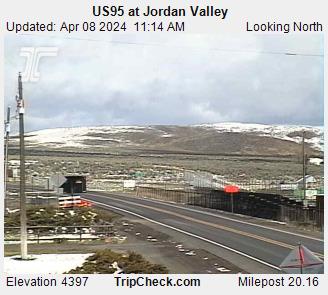
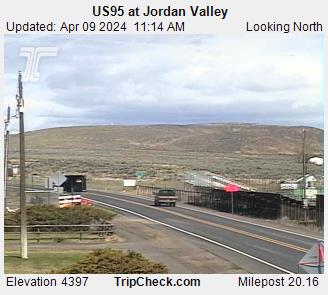
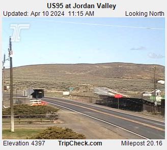
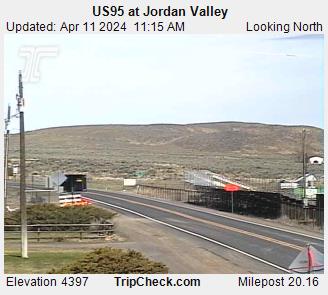
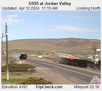
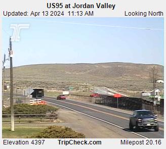
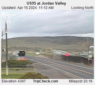
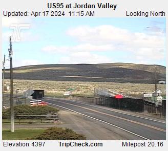
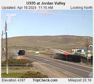
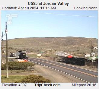
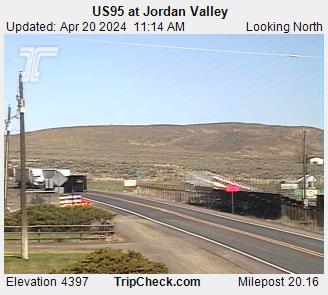
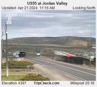
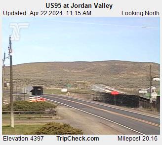
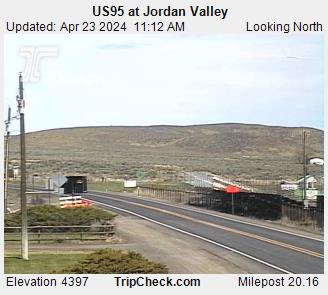
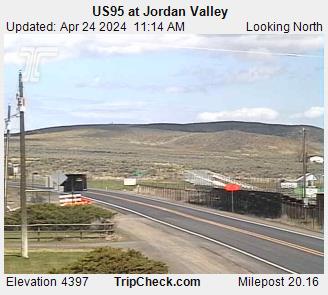
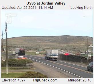
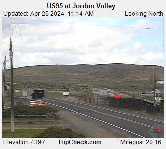
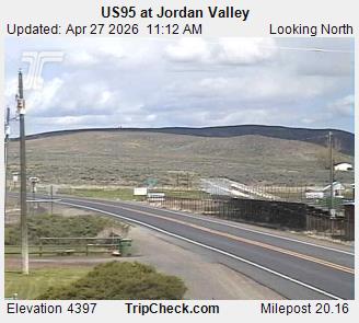
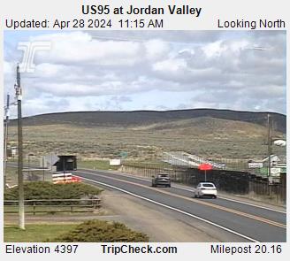
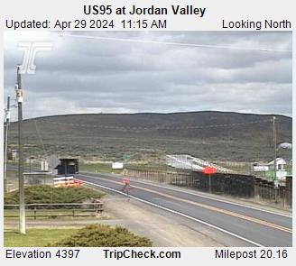
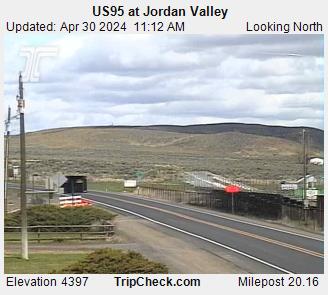
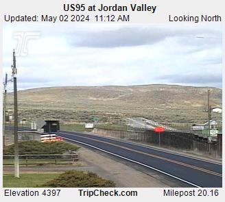
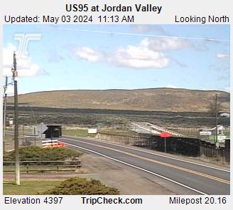
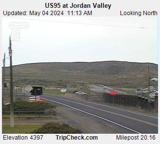
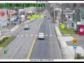
Jordan Valley, Oregon, USA - 59.1 miles from Fort Boise (historical): US95 at Jordan Valley - A view of the current traffic situation on the US95.
Operator: Oregon Department of Transportation
Operator: Oregon Department of Transportation


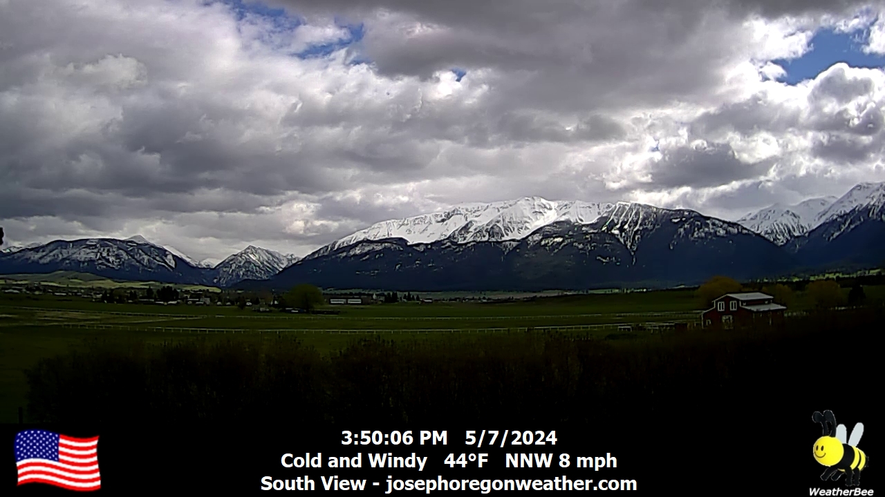
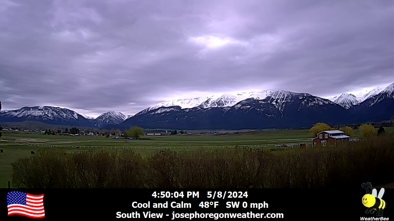
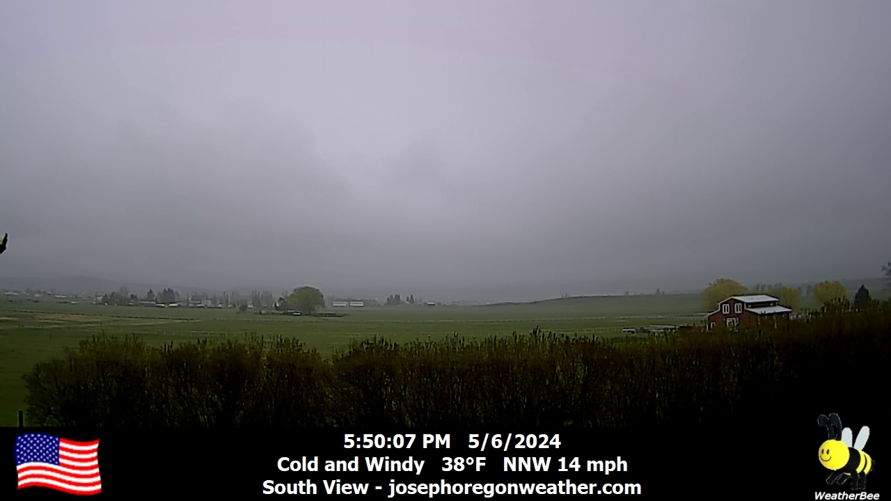
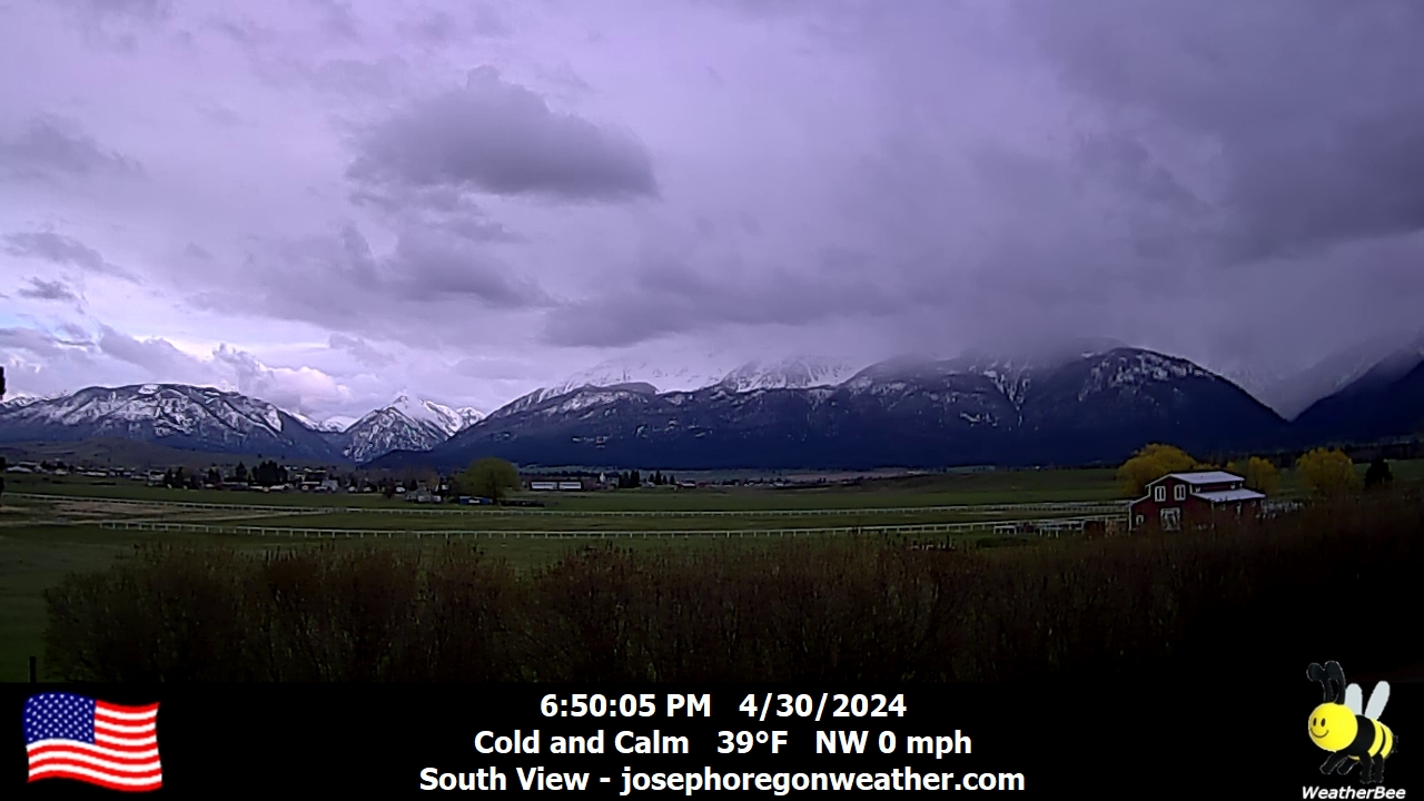
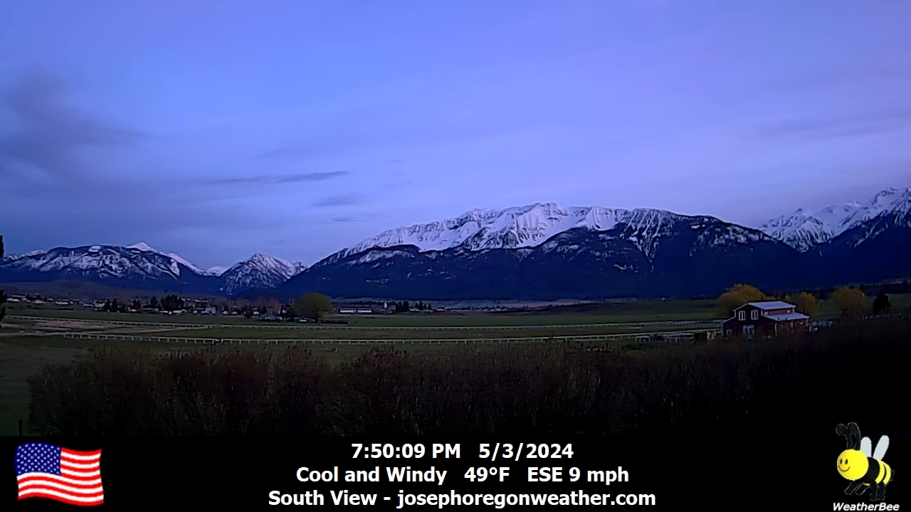
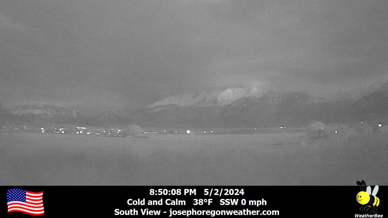
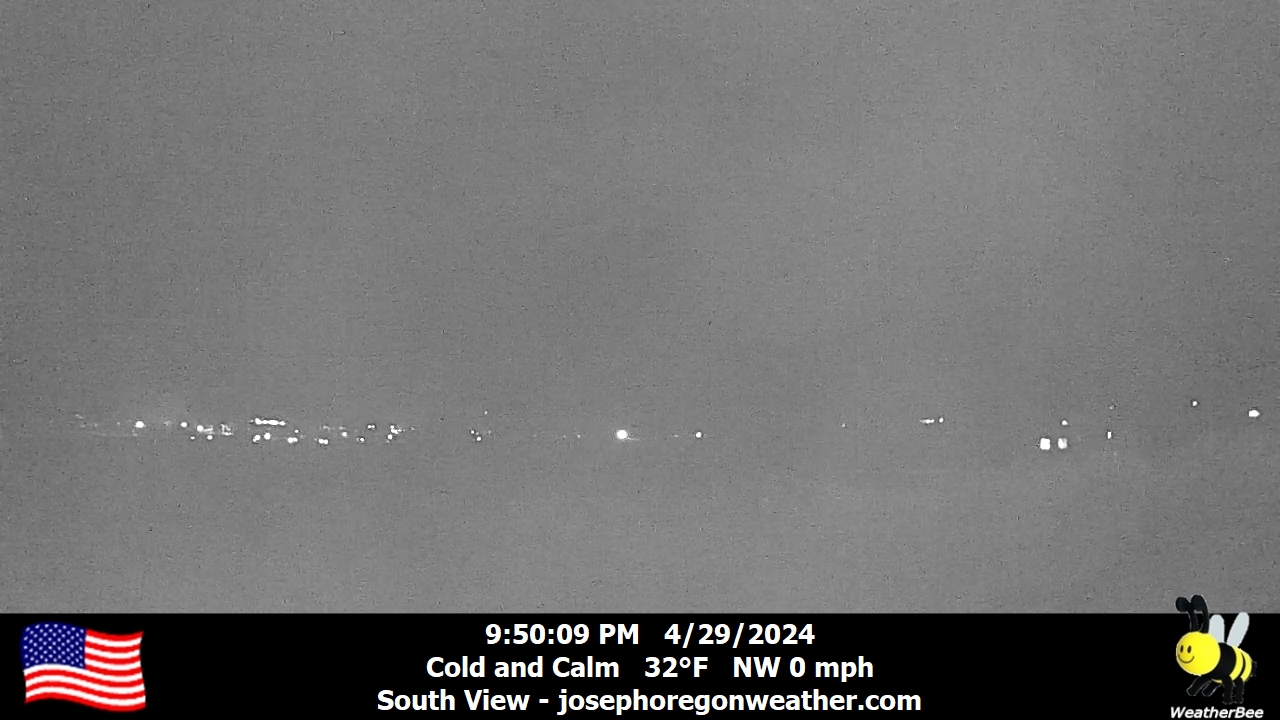
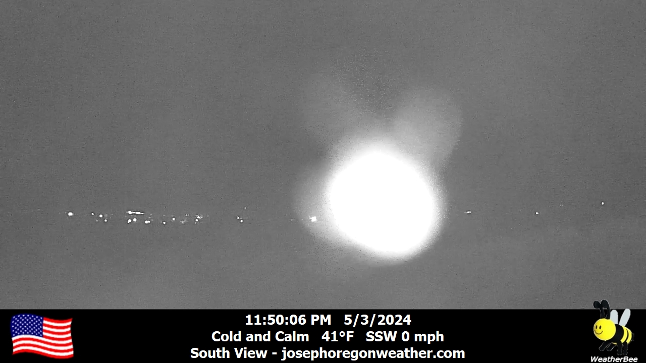
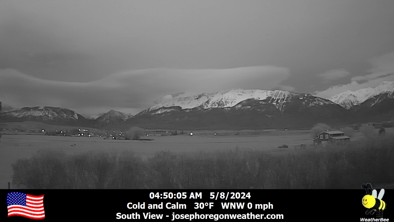
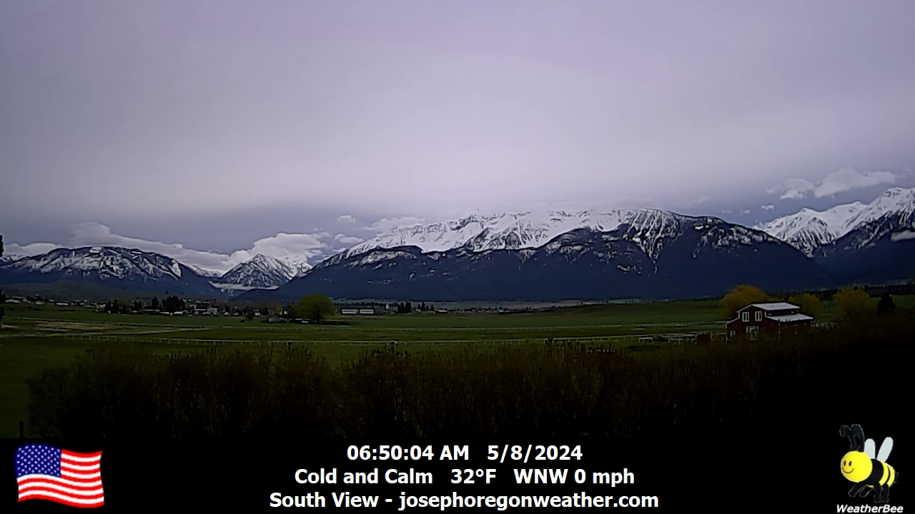
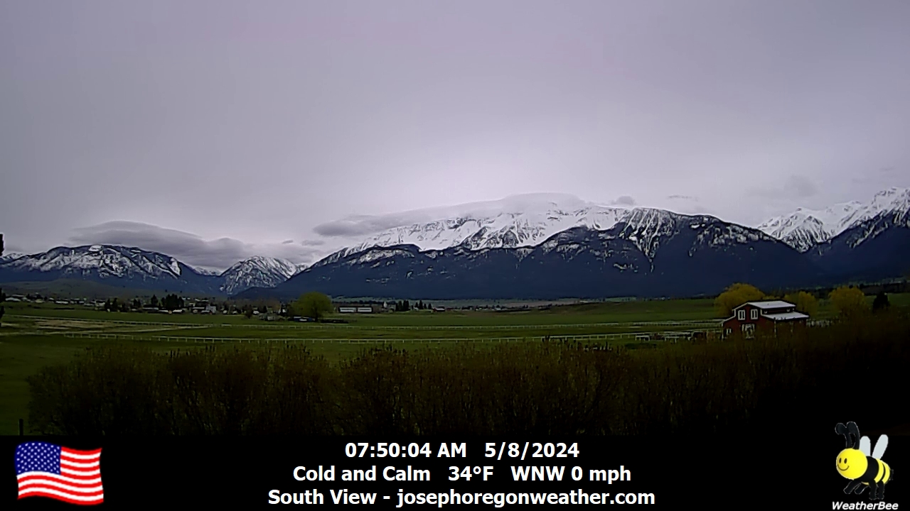
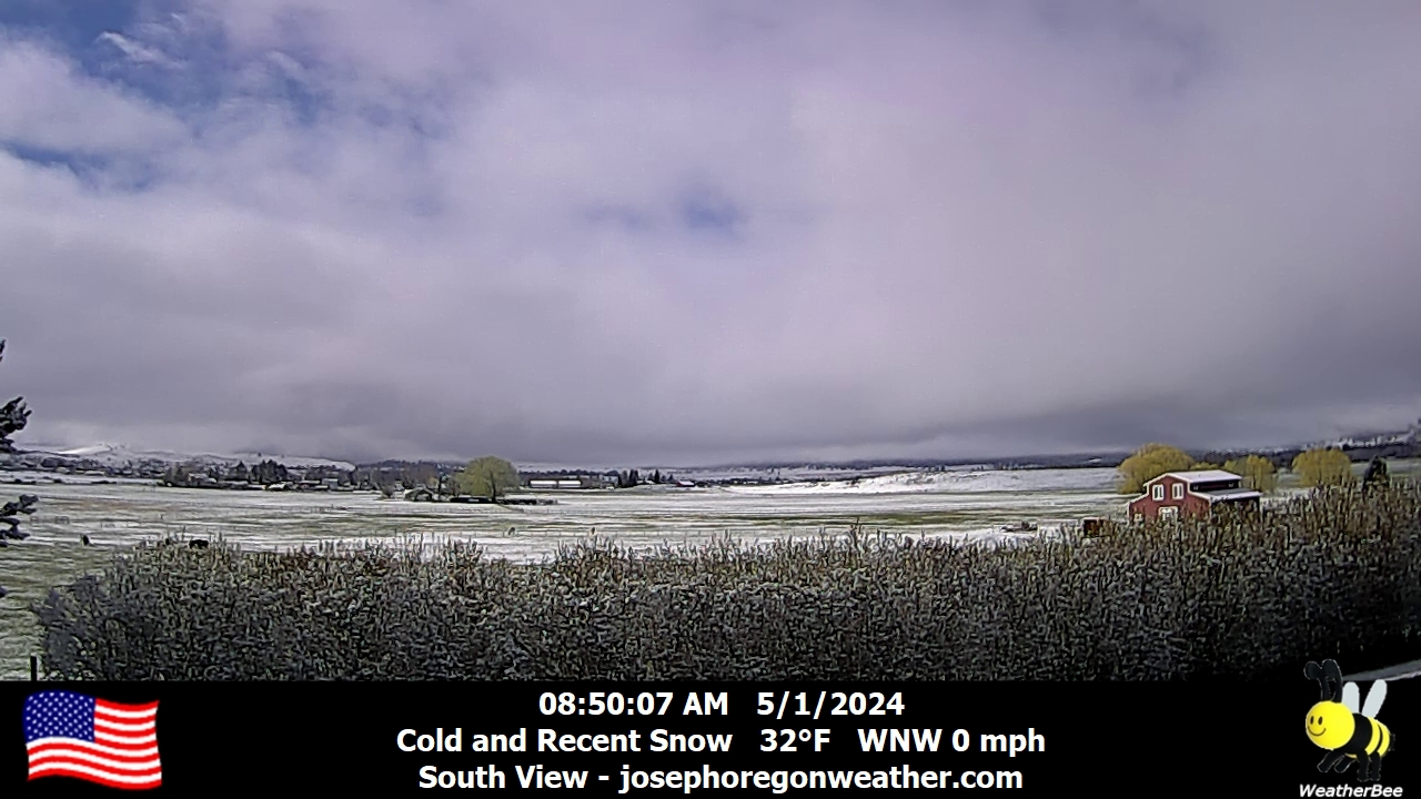
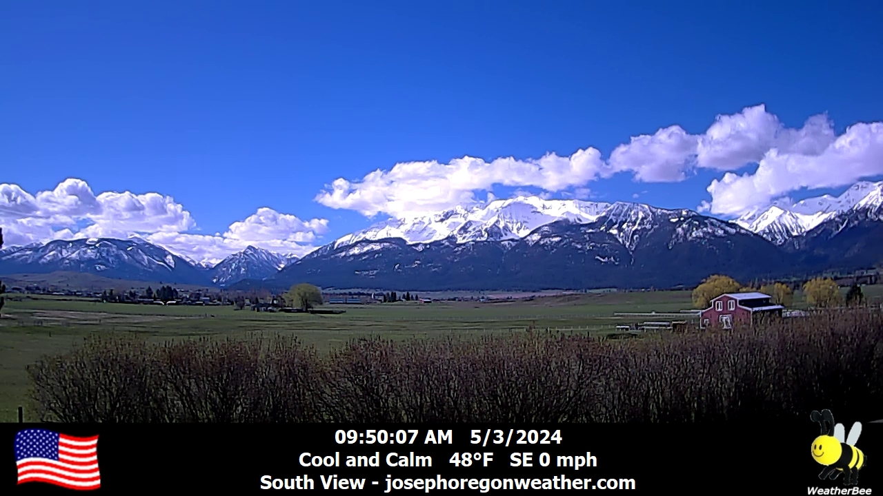
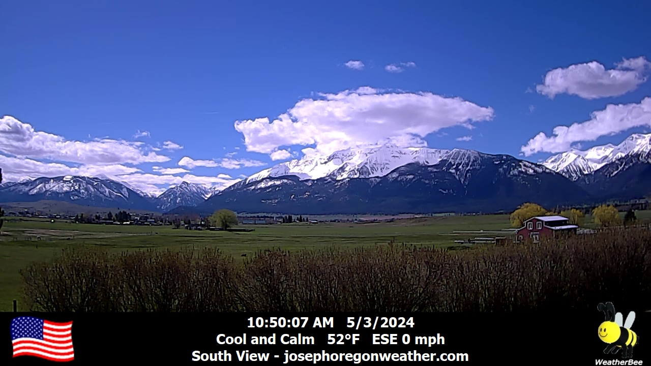
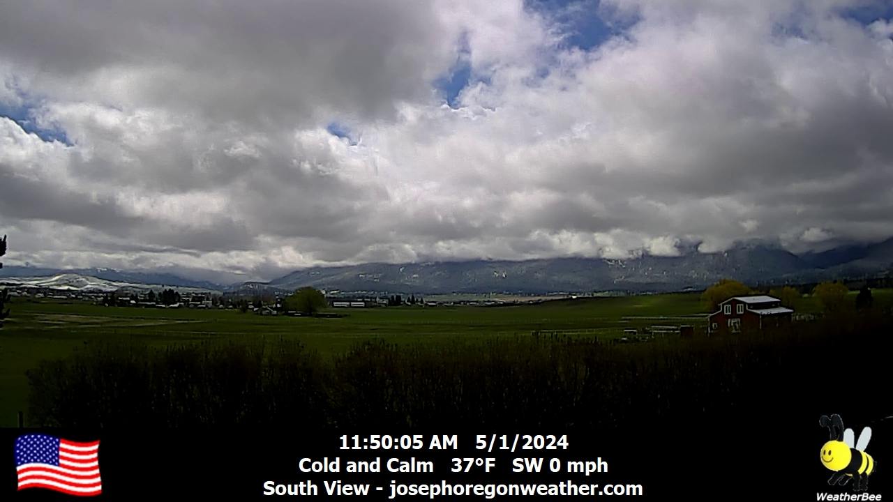
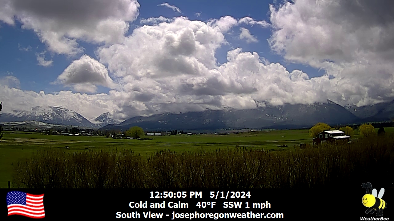
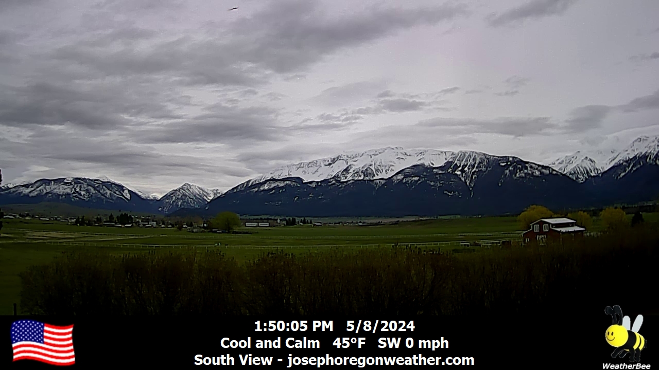
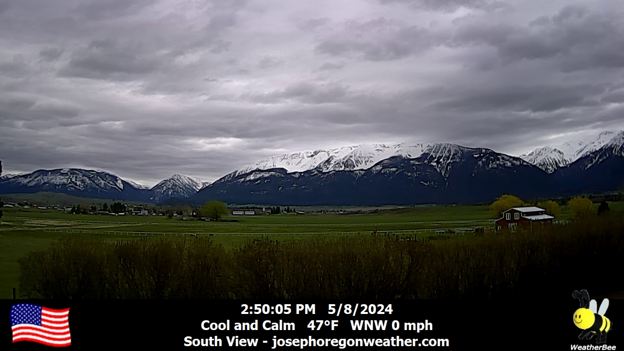
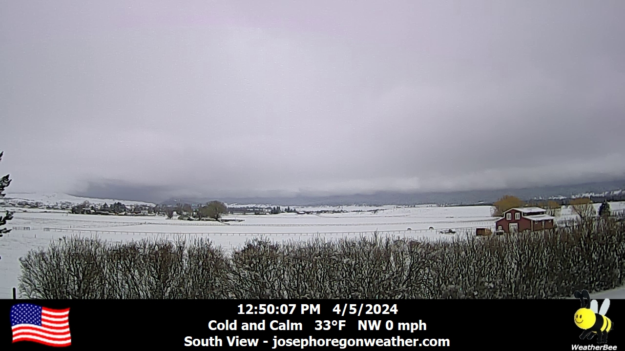
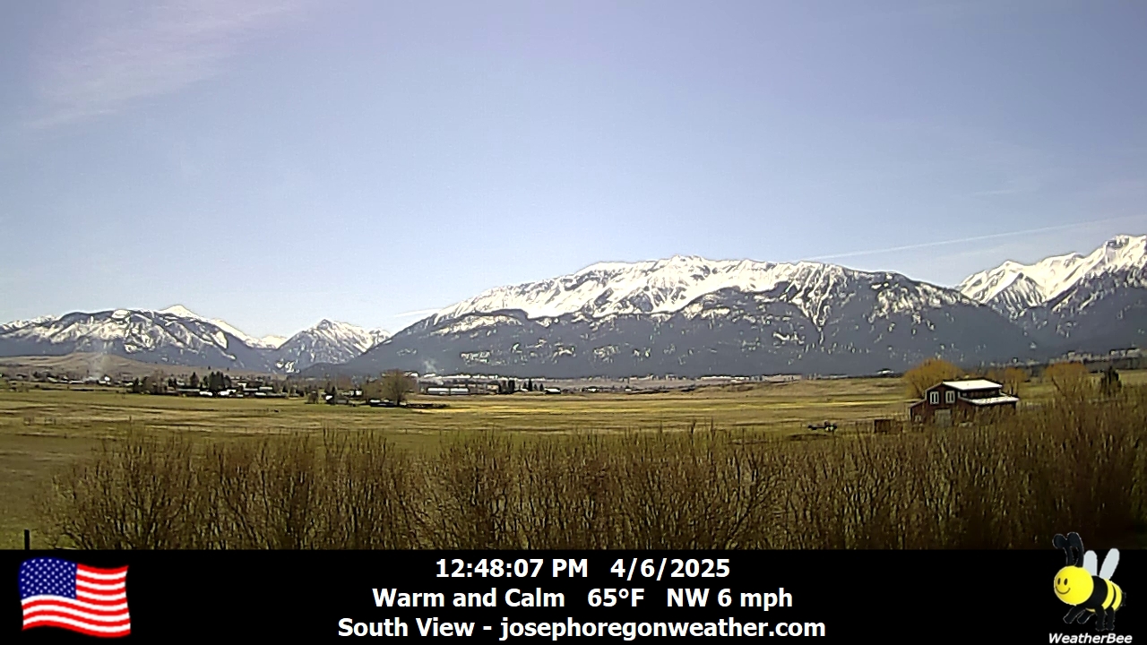
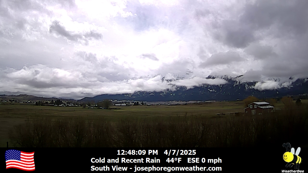
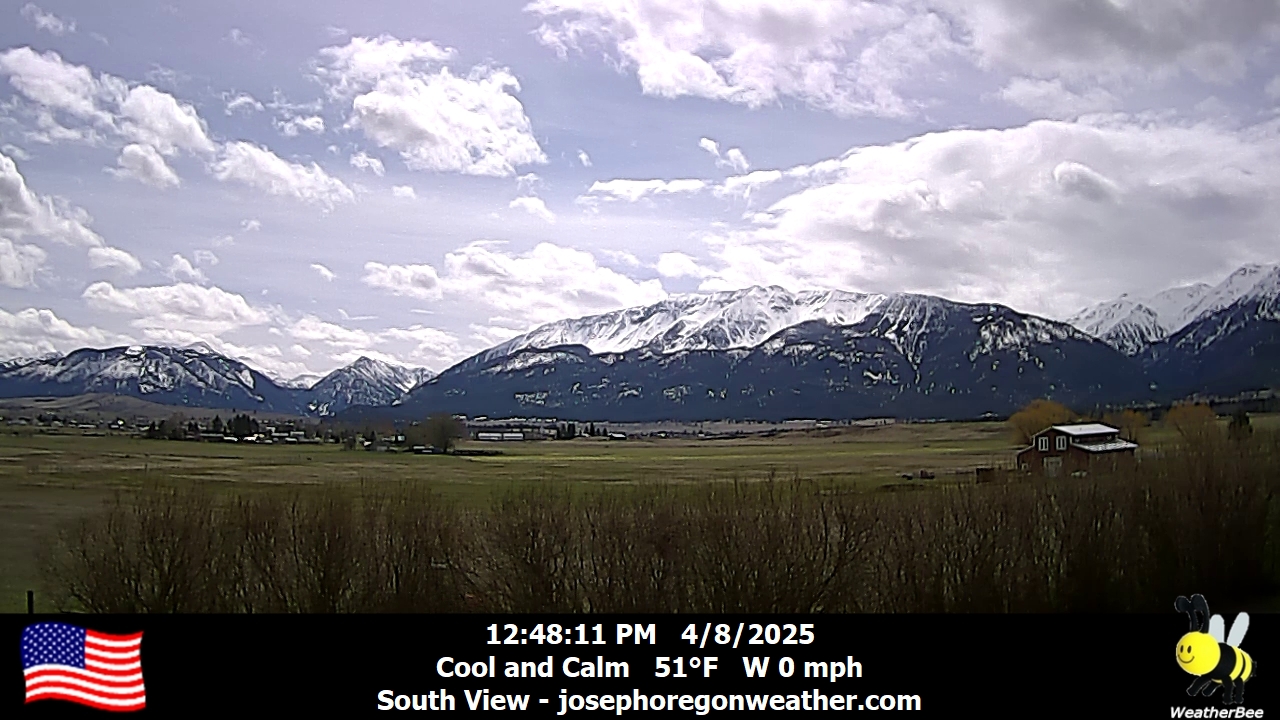
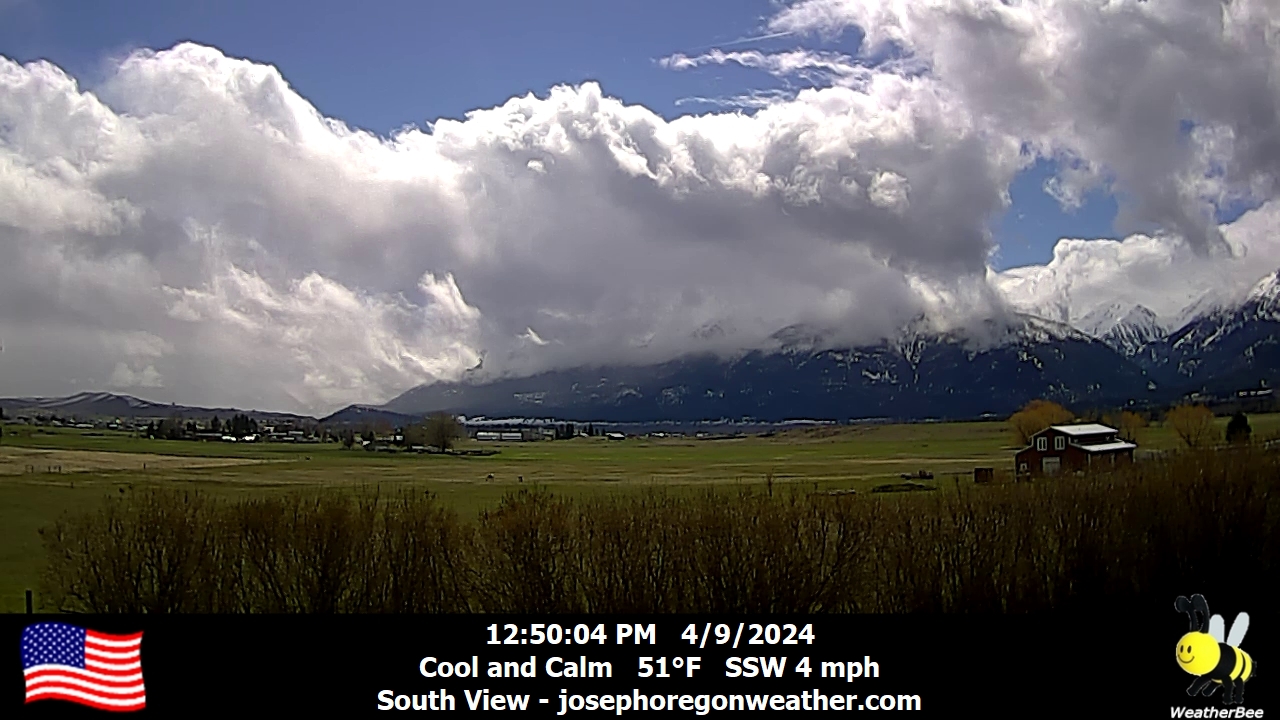
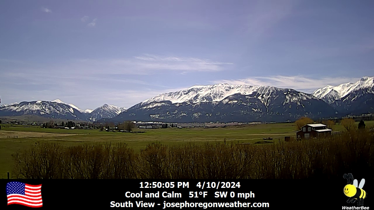
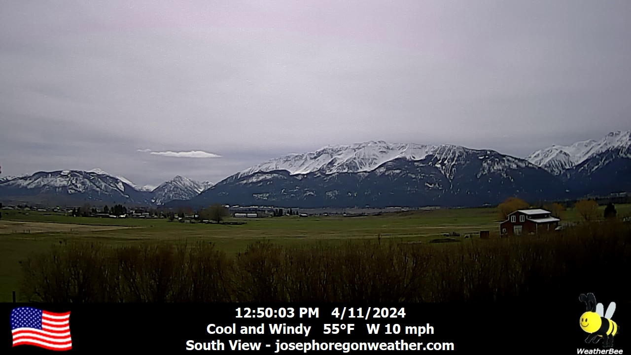
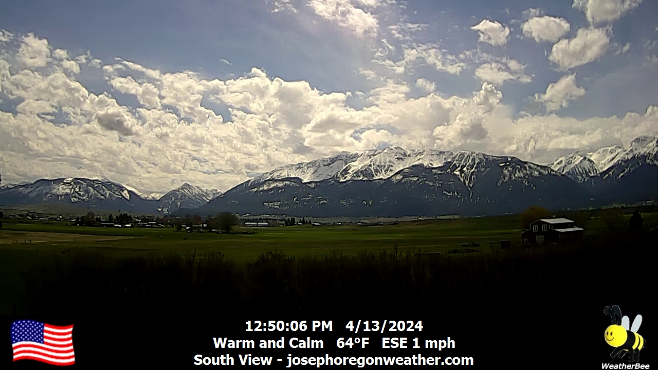
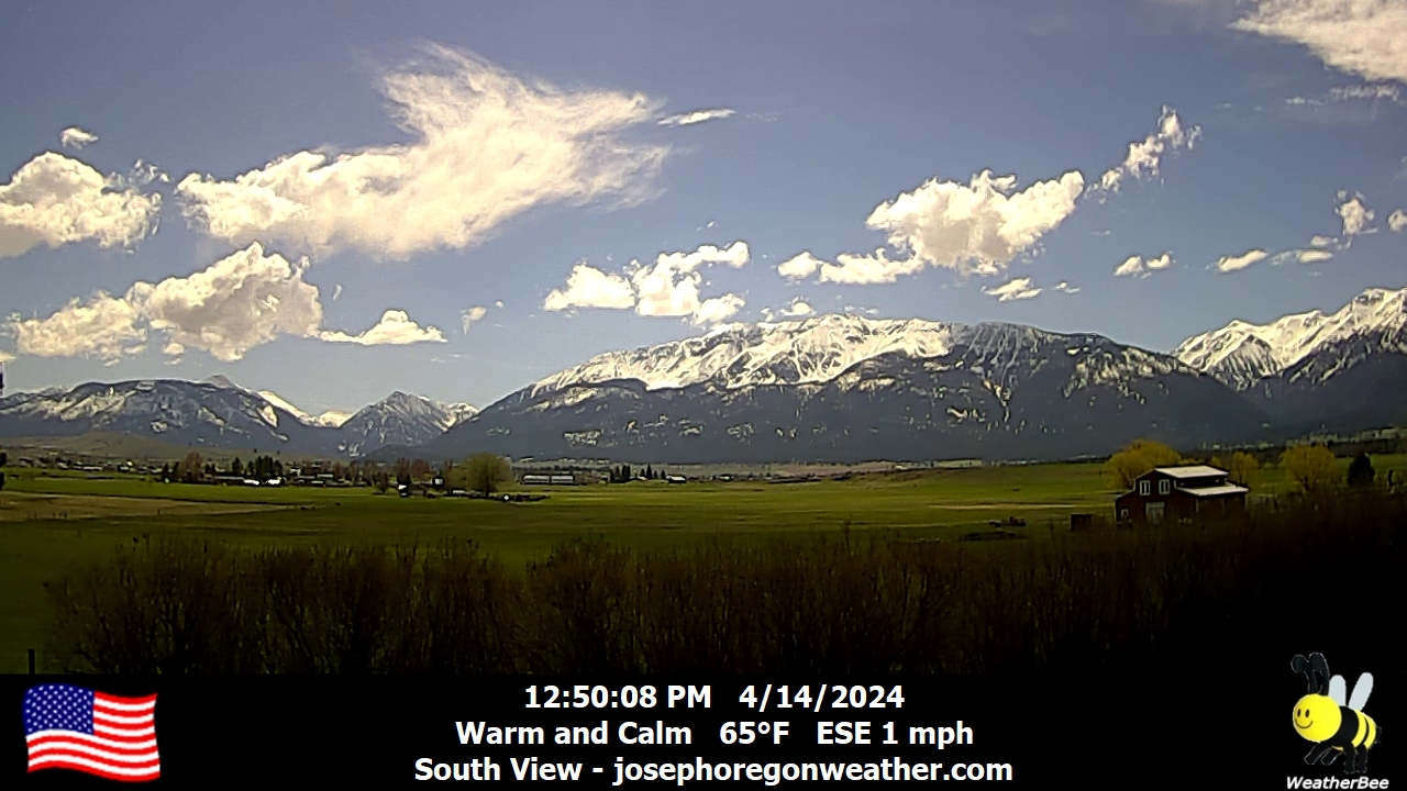
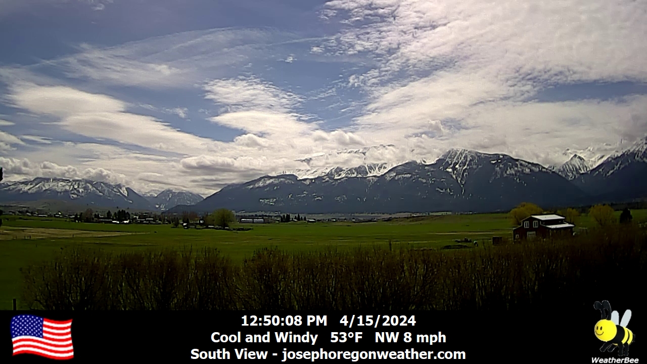
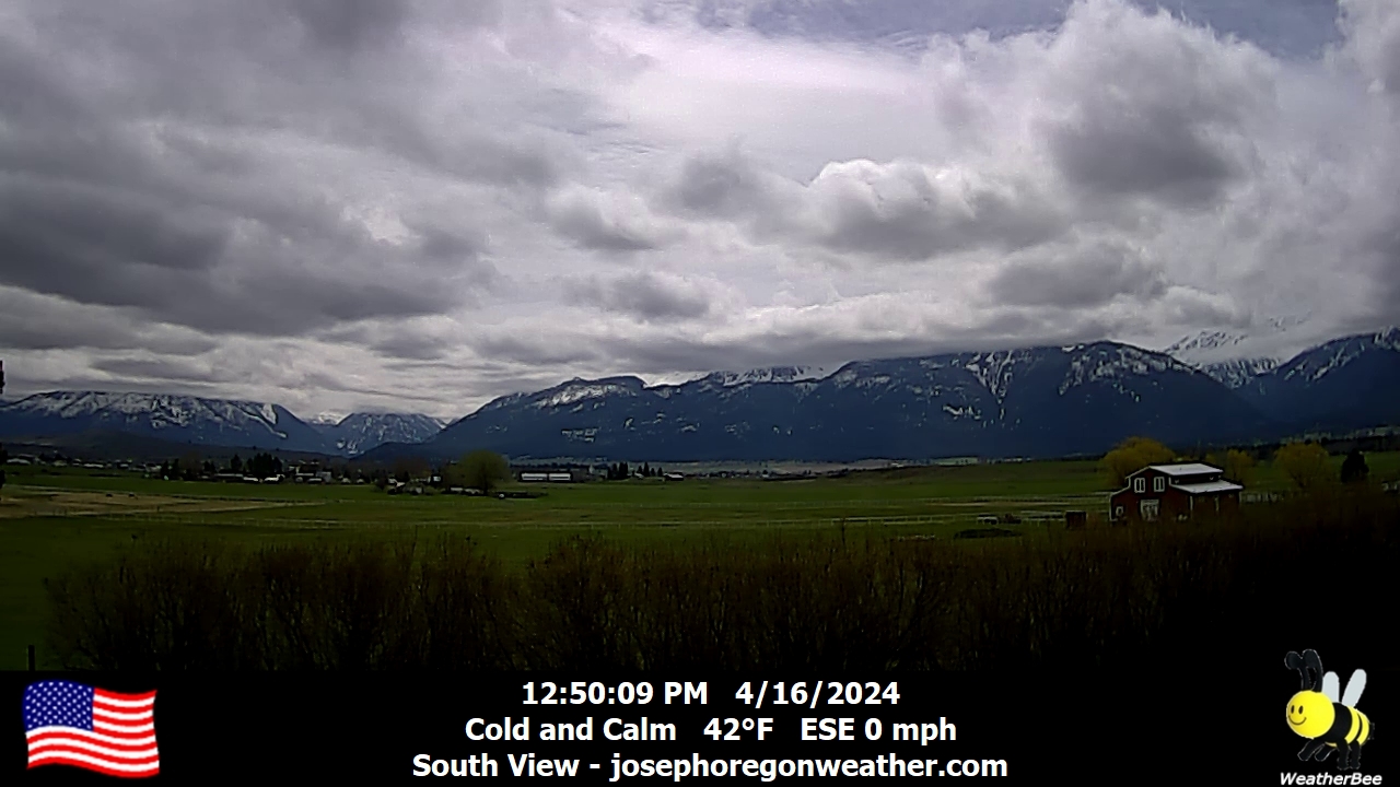
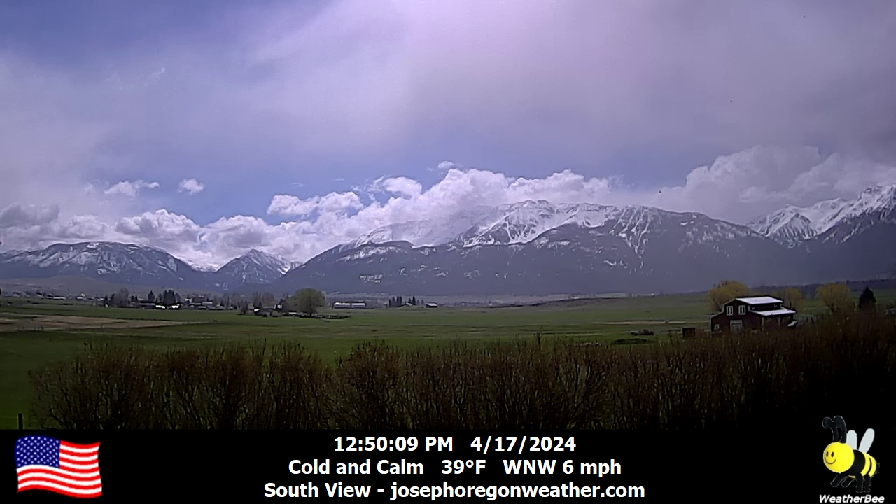
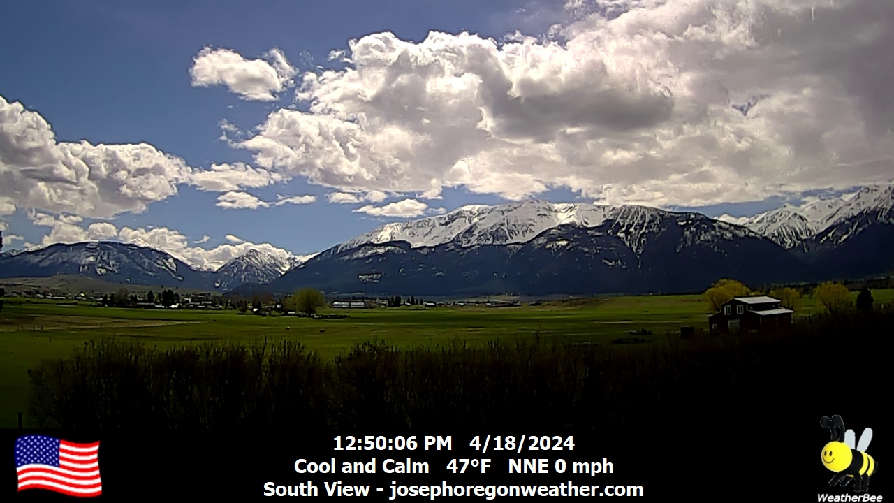
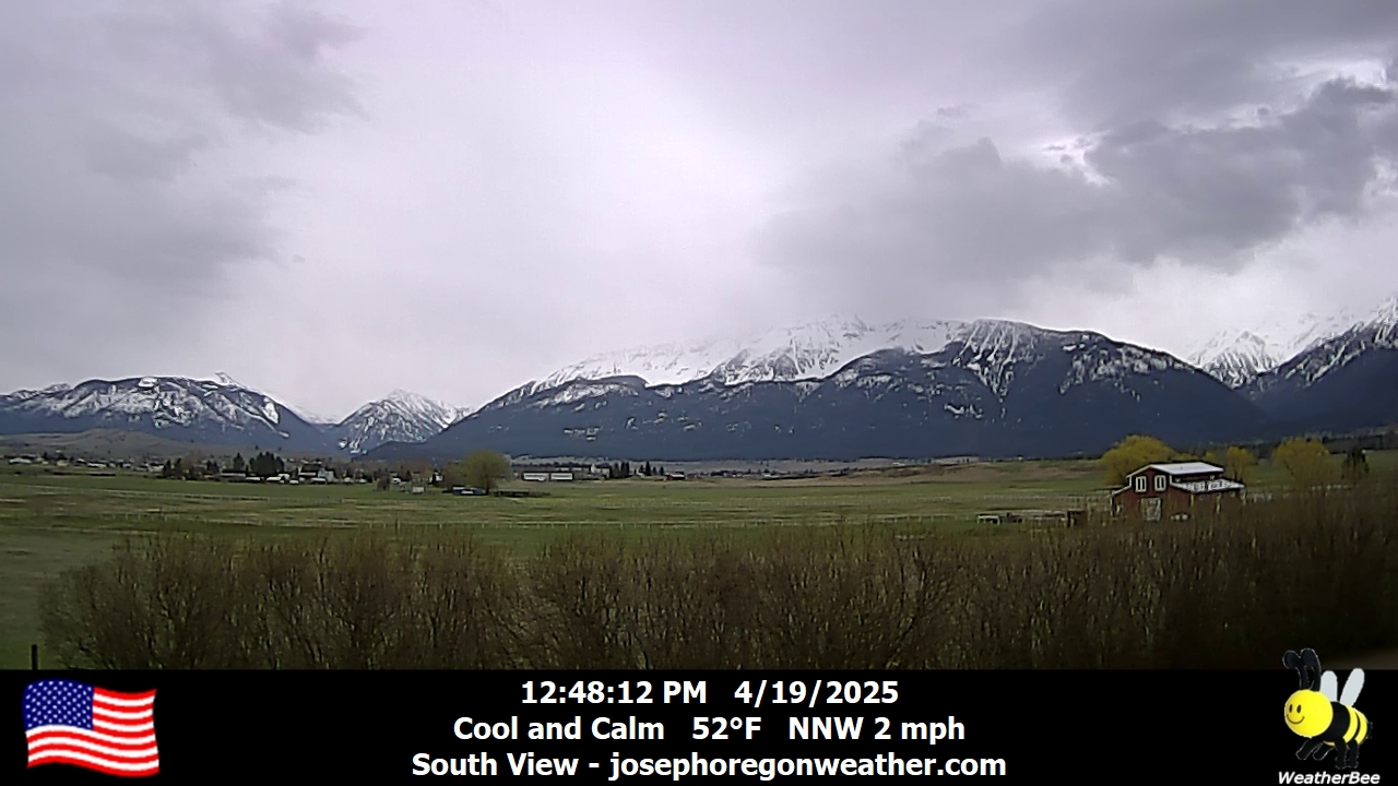
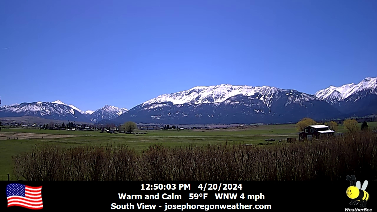
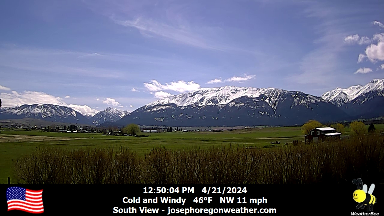
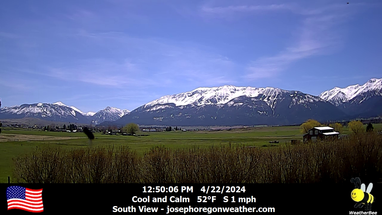
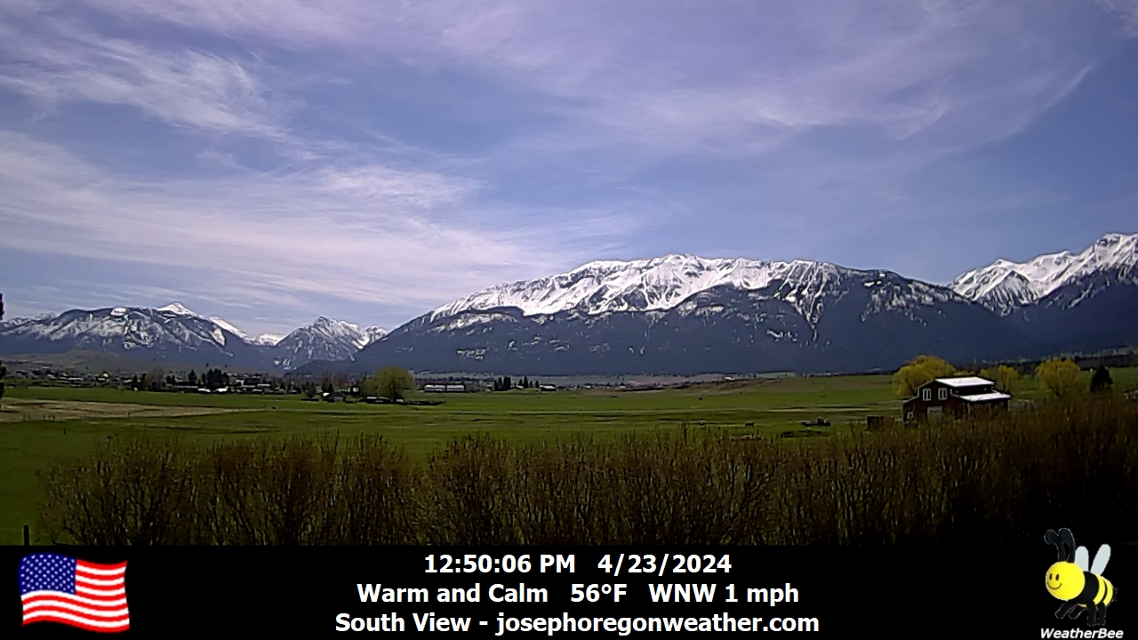
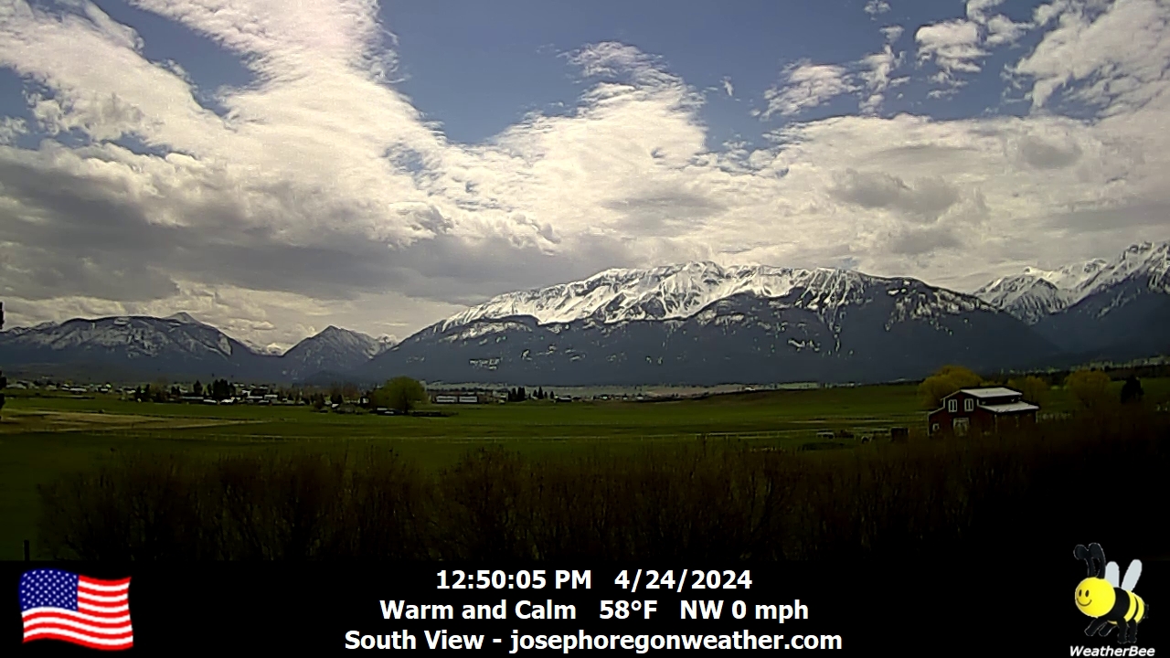
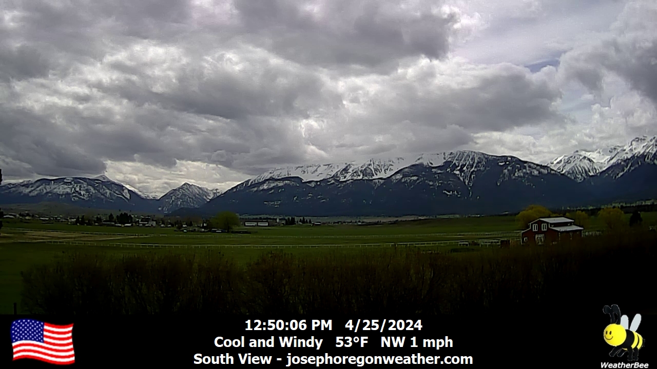
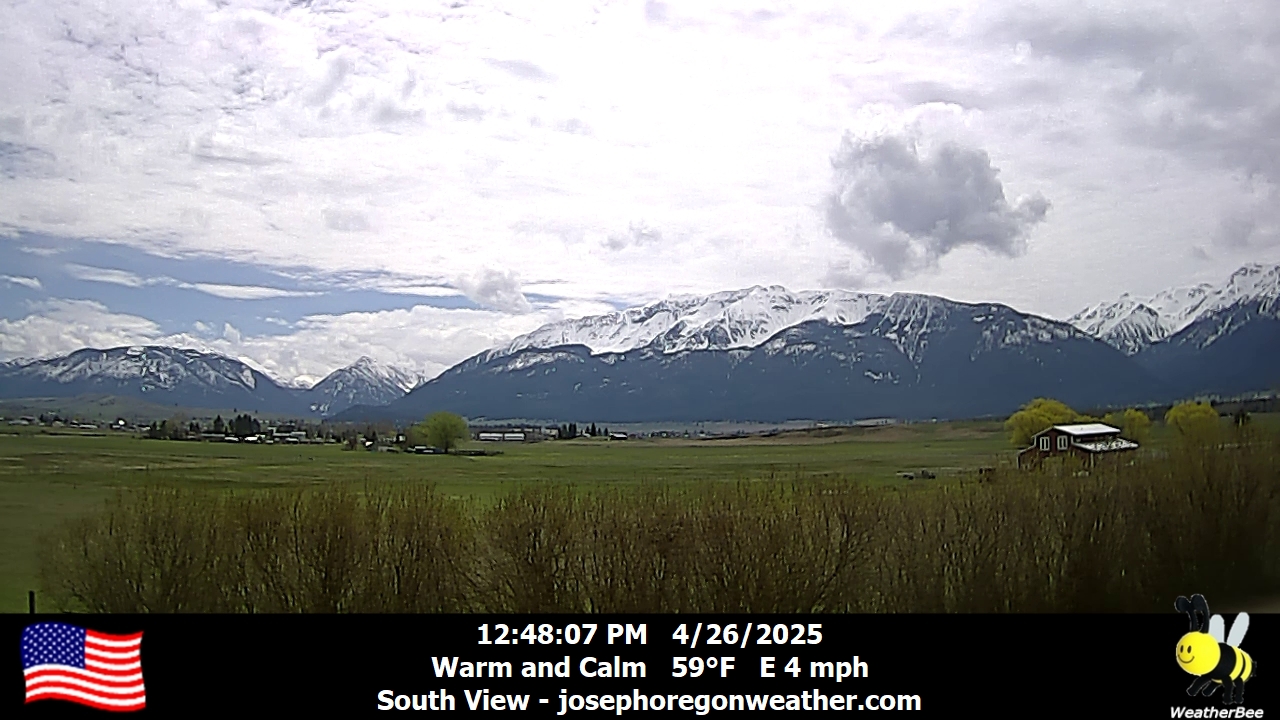
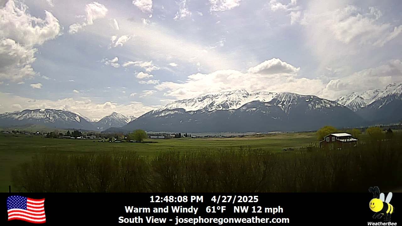
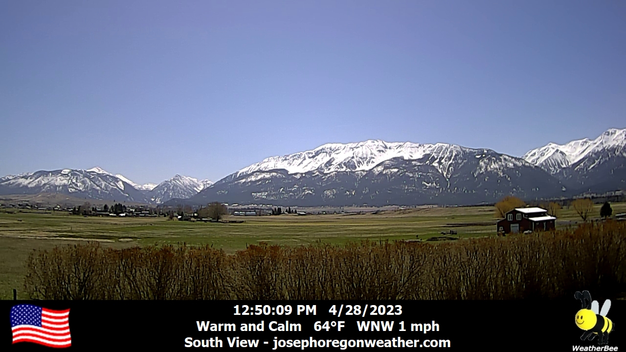
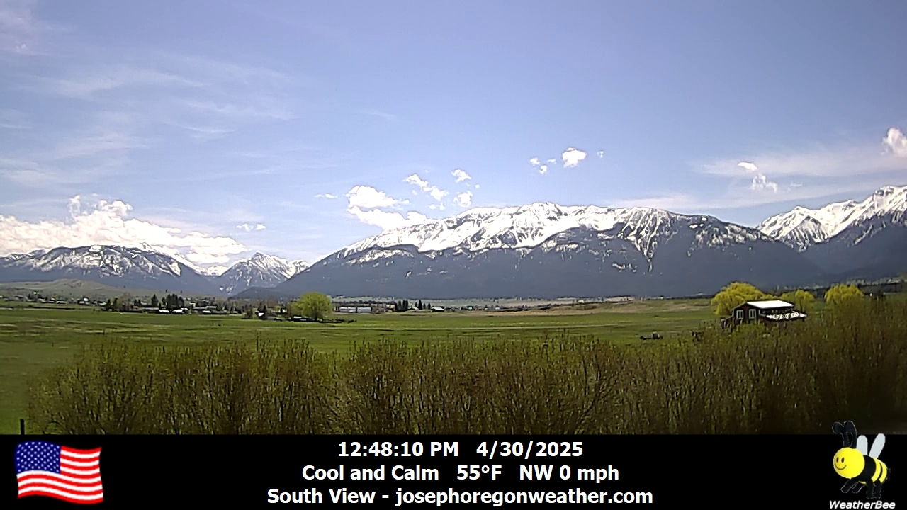
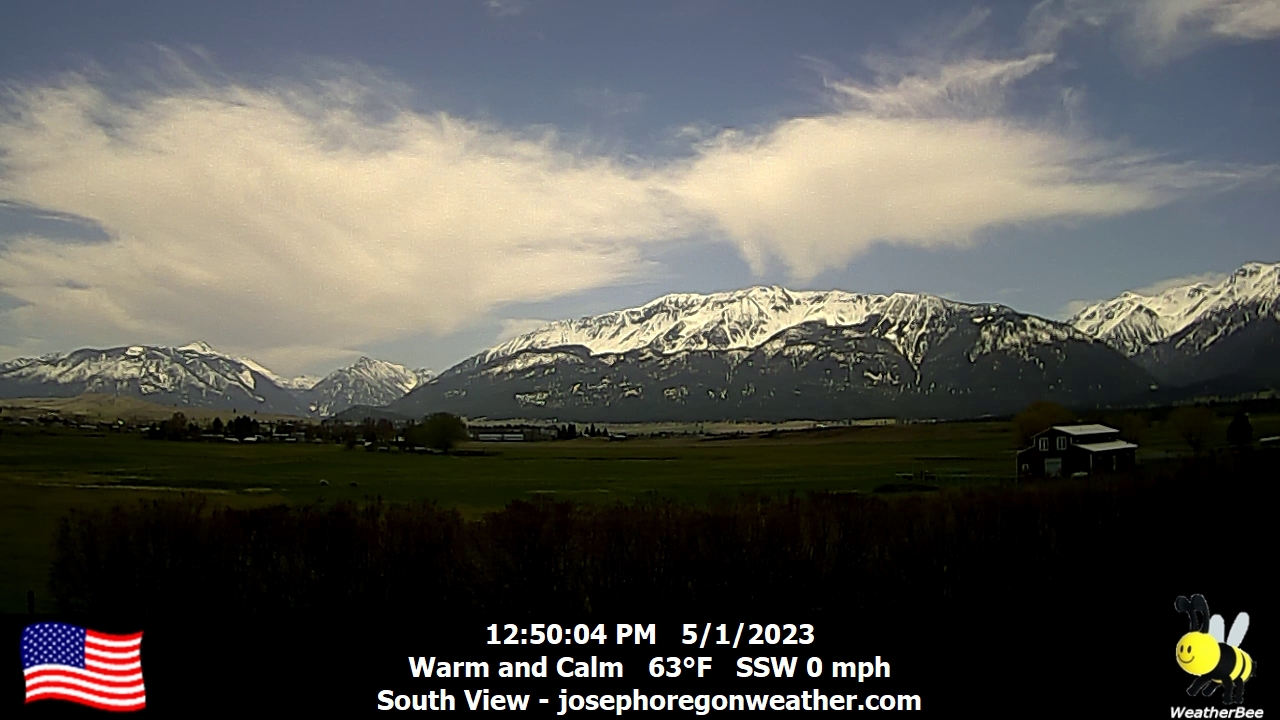
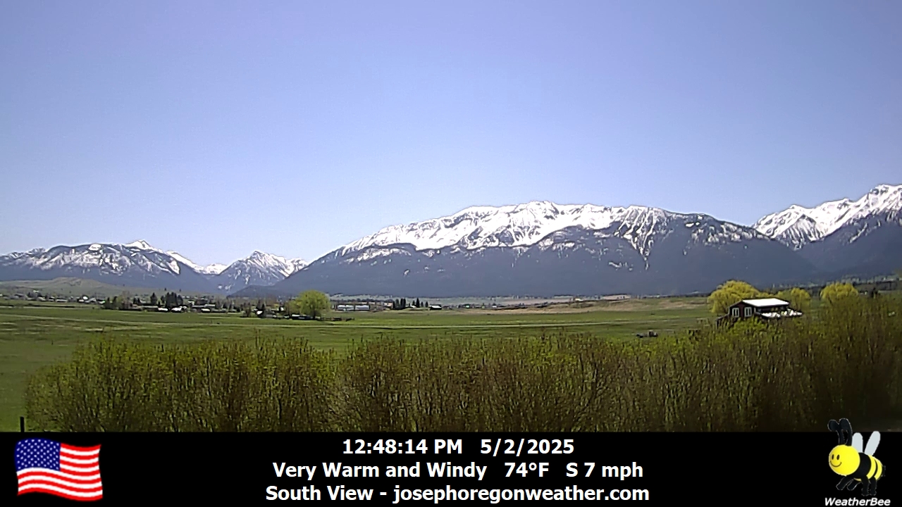
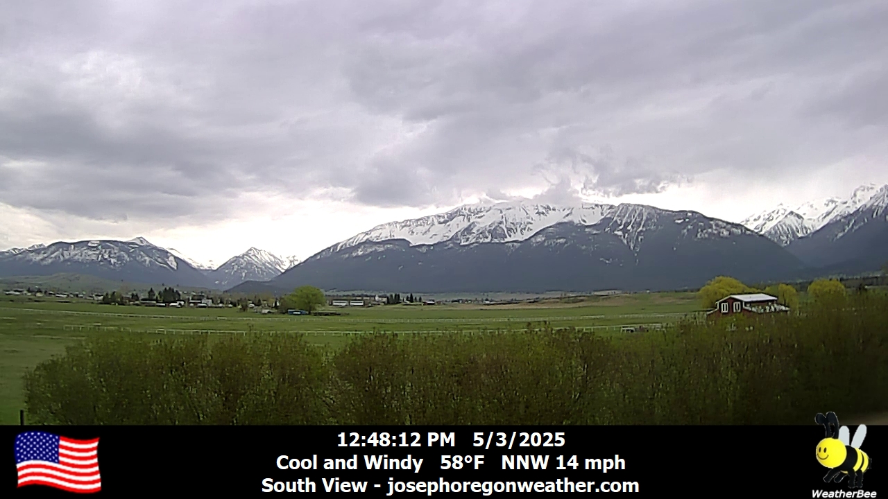
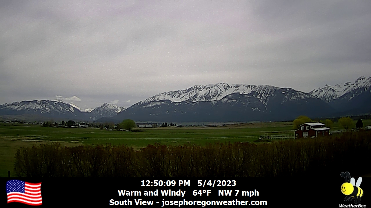
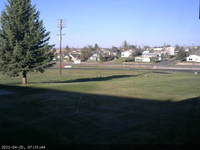
Joseph, Oregon, USA - 105.9 miles from Fort Boise (historical): Joseph Oregon Weather - A view of the Wallowa Mountains from Joseph, Oregon - with current weather data.
Operator: Joseph Oregon Weather
Operator: Joseph Oregon Weather


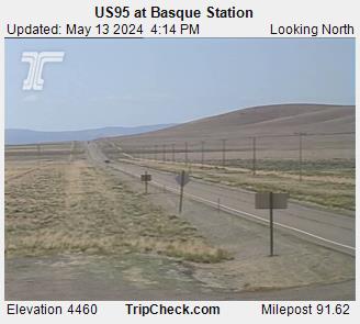
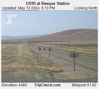
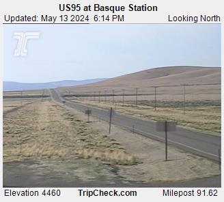
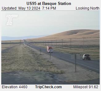
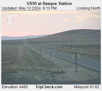
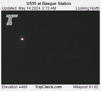
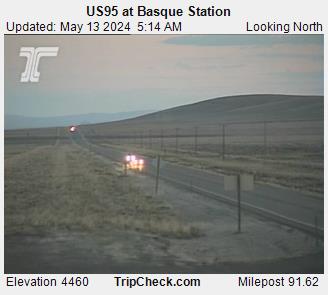
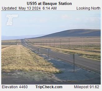
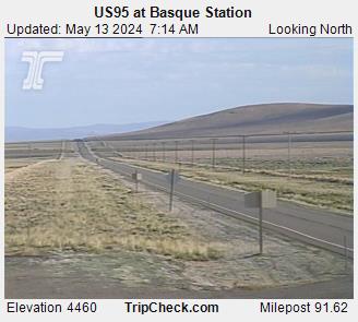
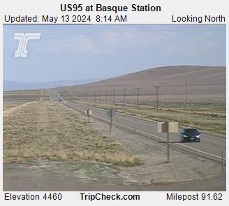
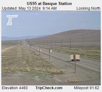
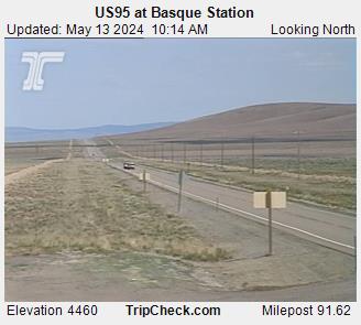
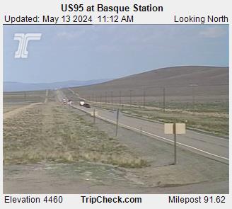
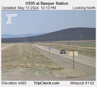
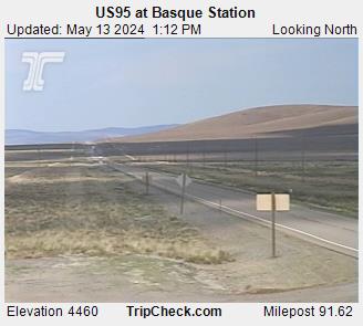
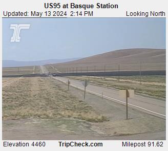
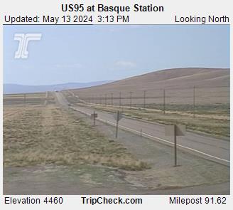
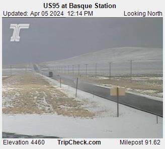
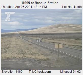
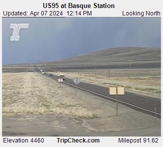
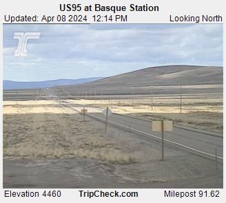
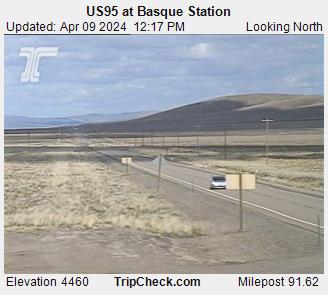
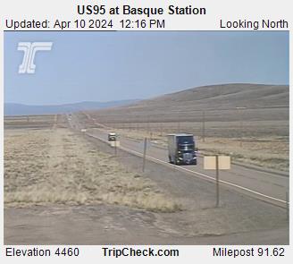
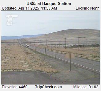
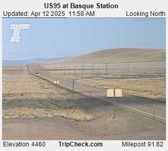
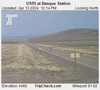
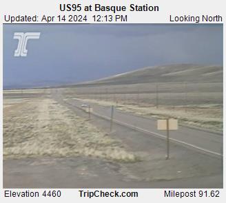
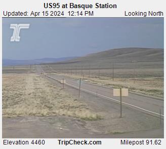
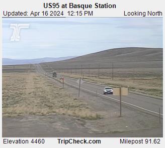
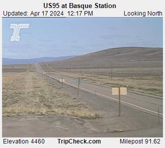
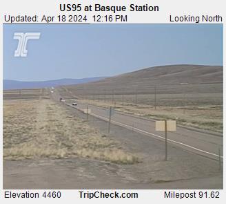
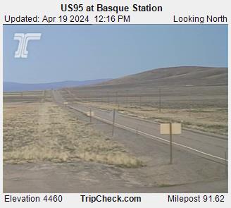
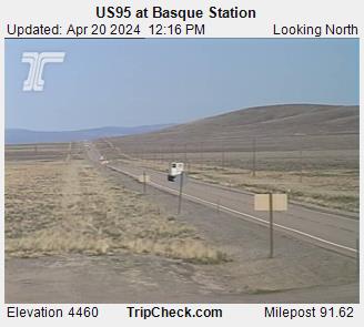
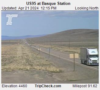
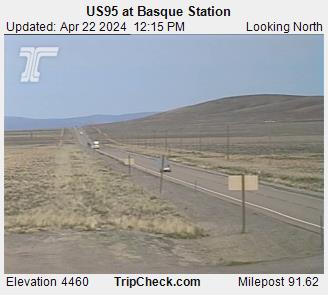
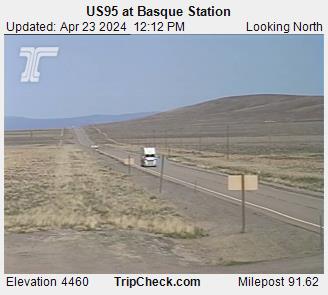
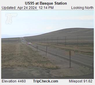
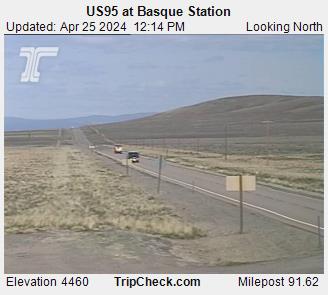
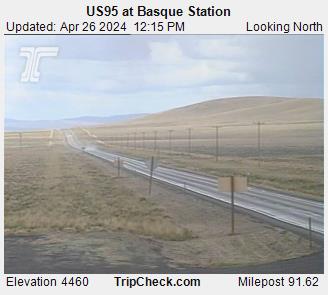
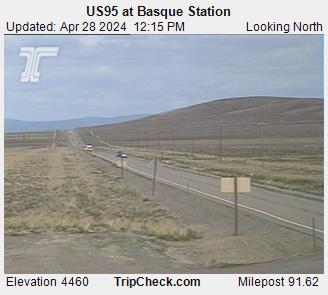
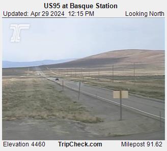
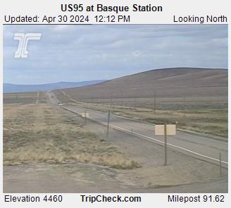
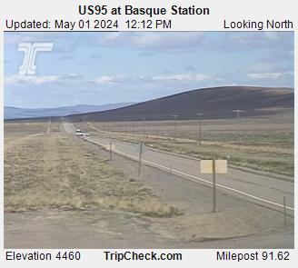
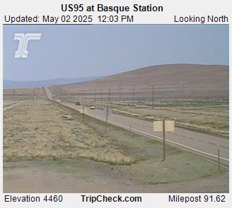
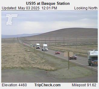
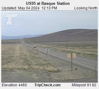
Basque, Oregon, USA - 107.1 miles from Fort Boise (historical): US95 at Basque Station - A view of the current traffic situation on the US95.
Operator: Oregon Department of Transportation
Operator: Oregon Department of Transportation


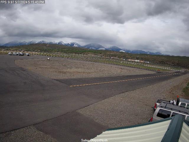
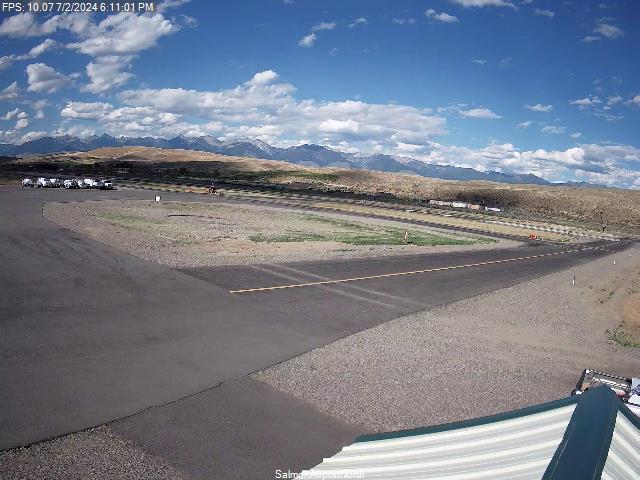
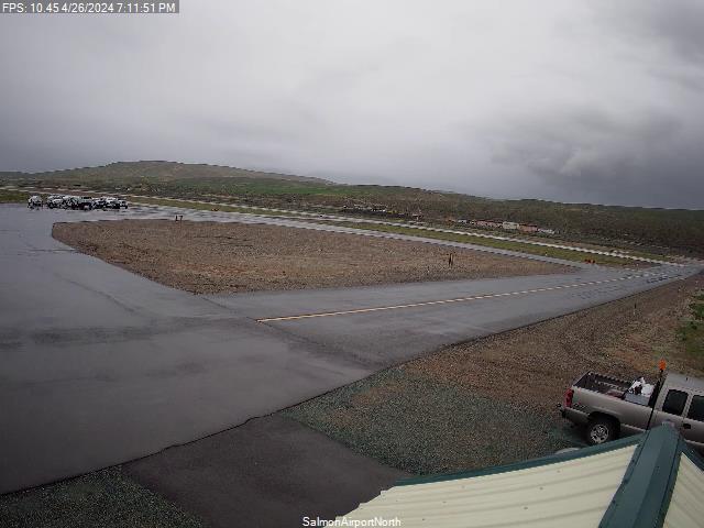
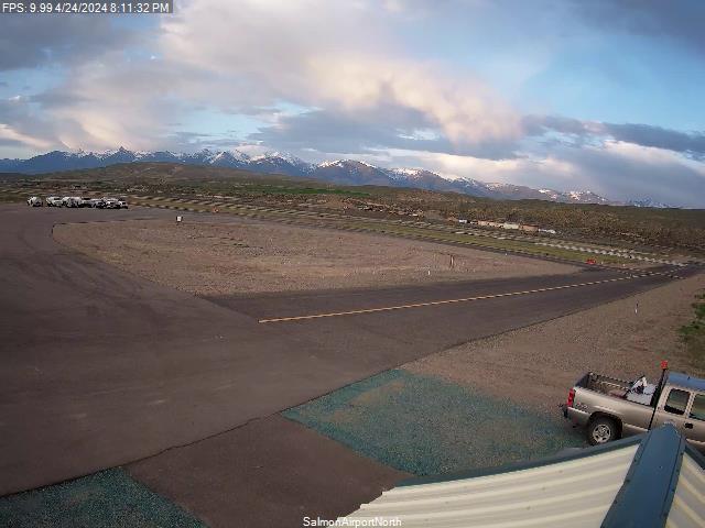
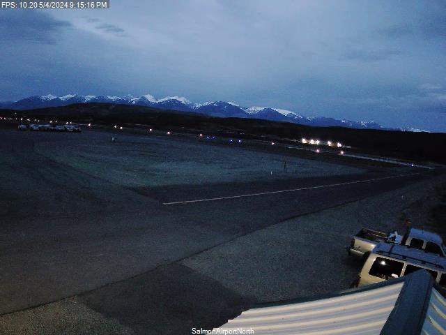
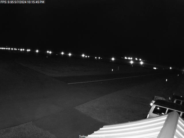
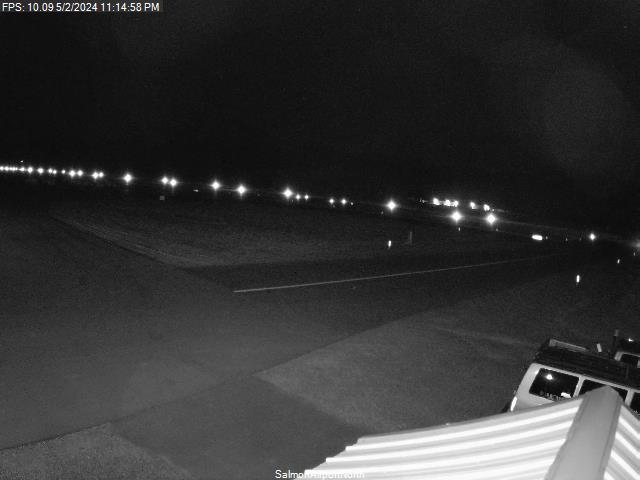
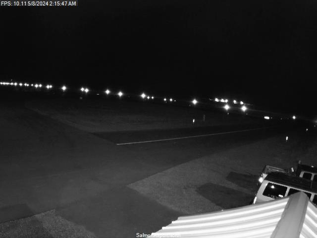
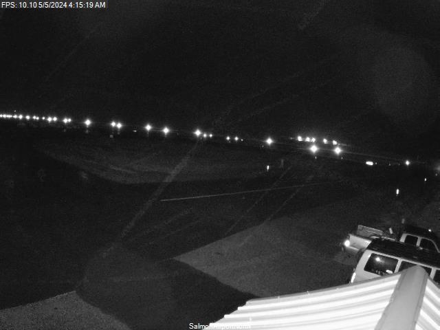
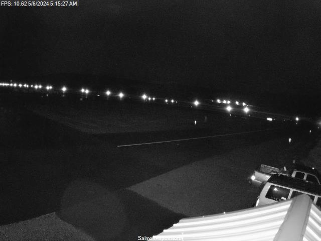
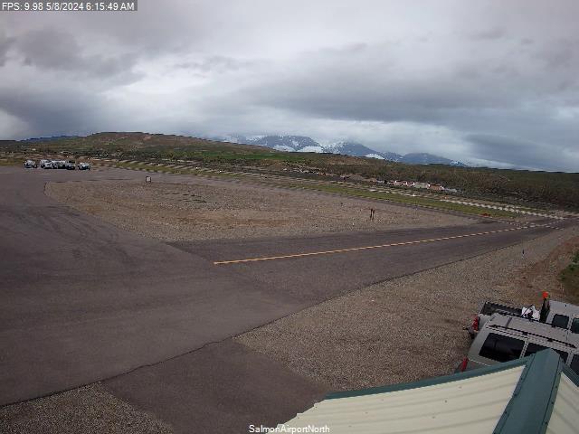
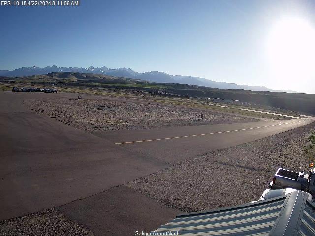
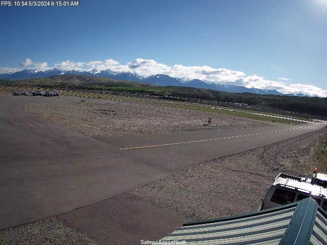
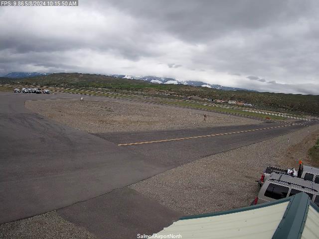
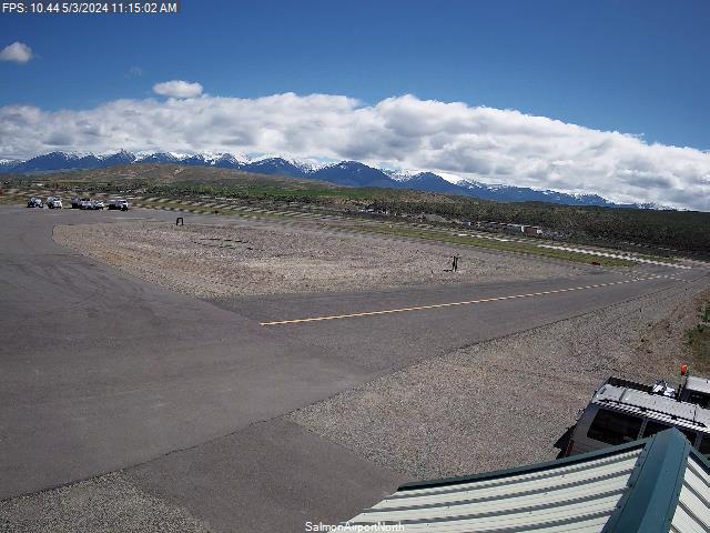
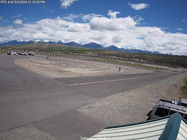
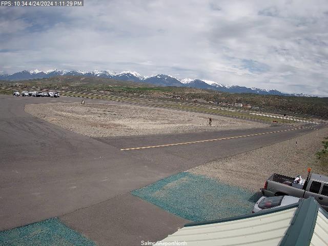
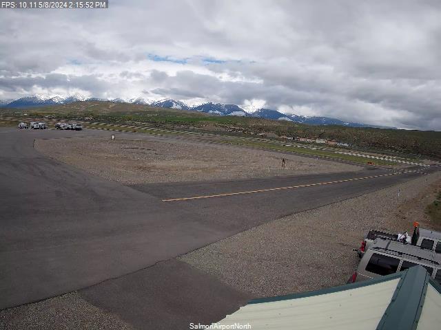
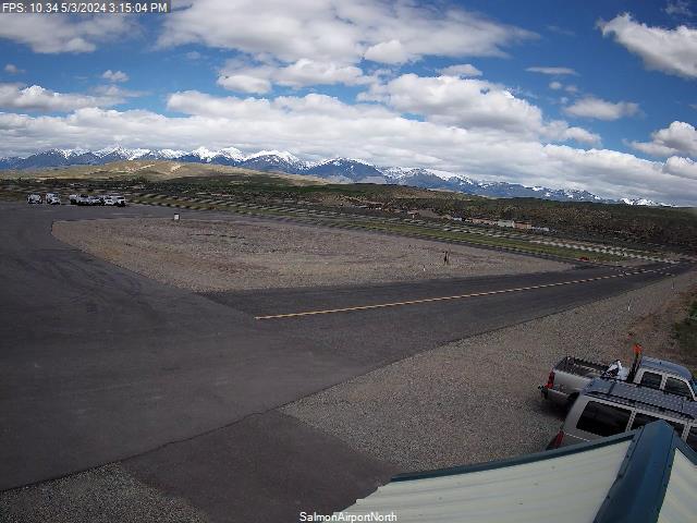
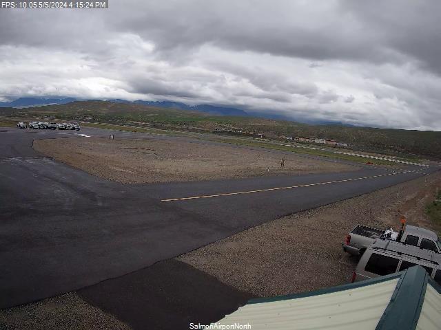
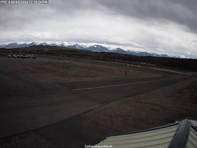
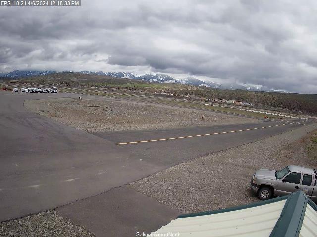
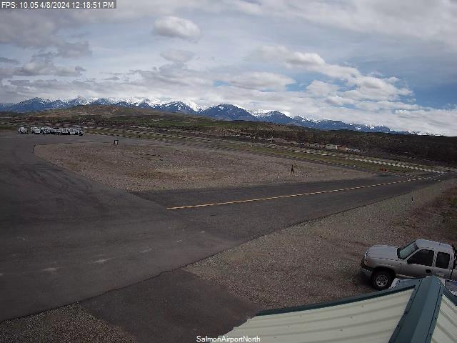
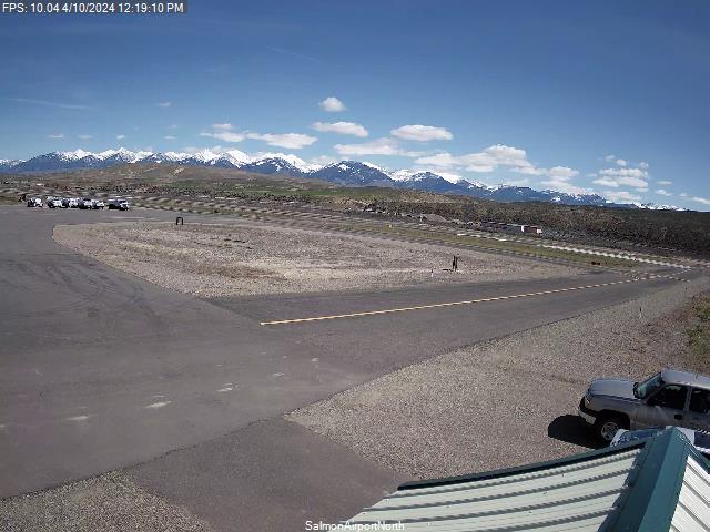
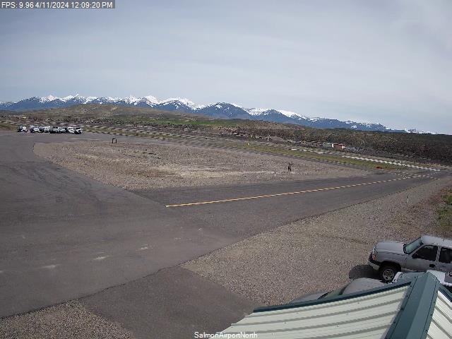
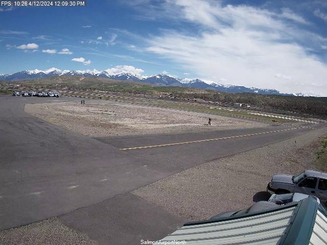
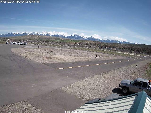
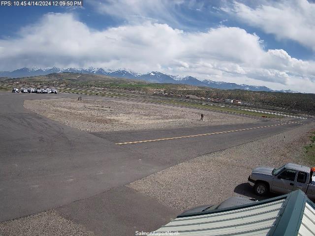
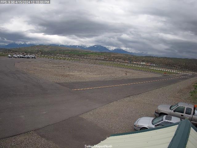
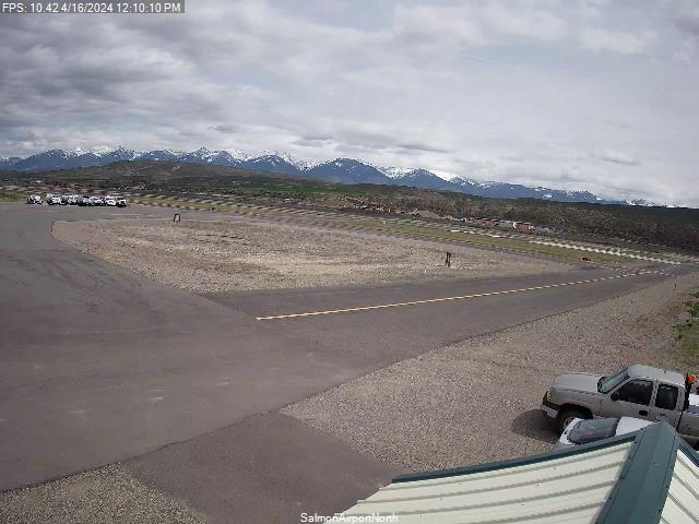
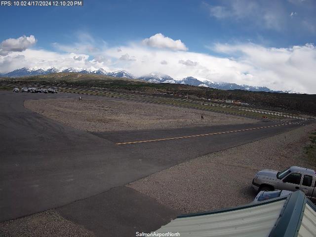
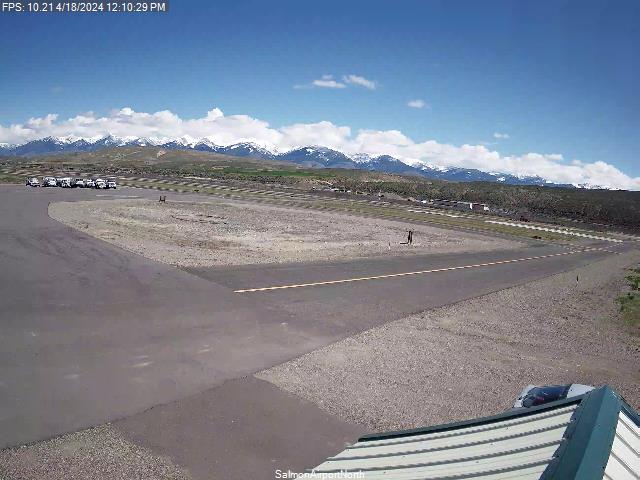
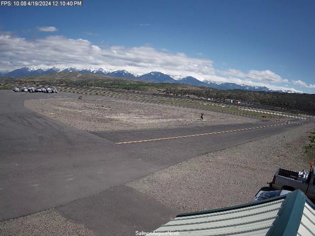
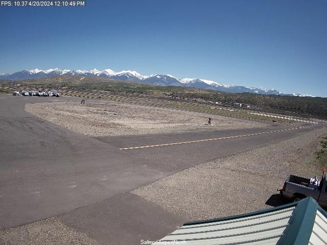
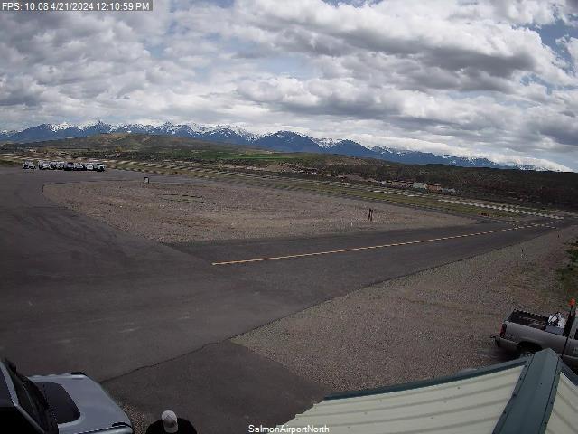
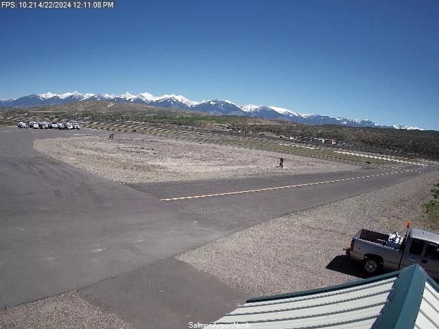
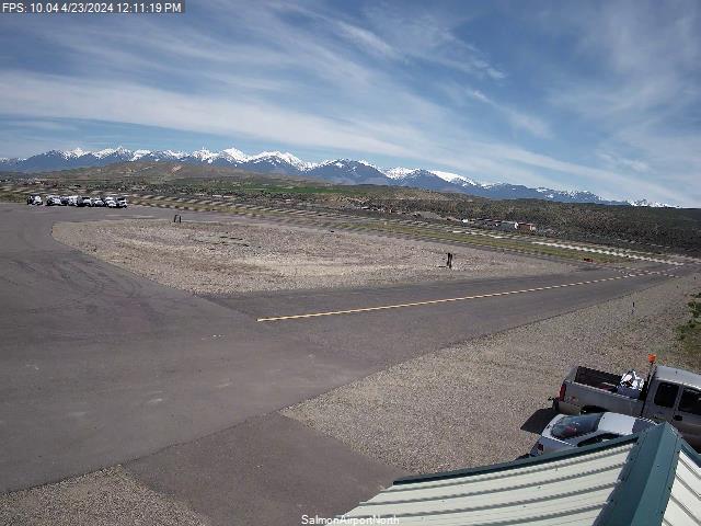
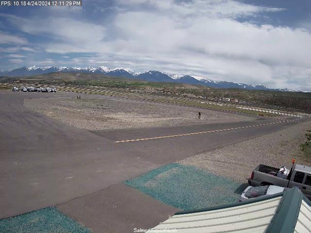
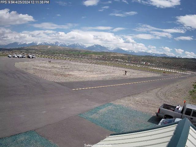
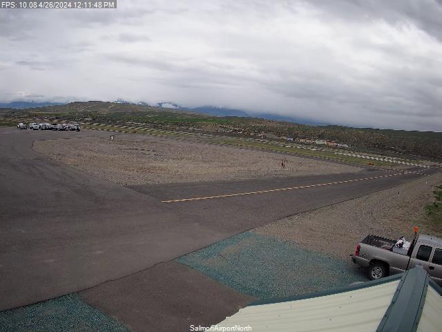
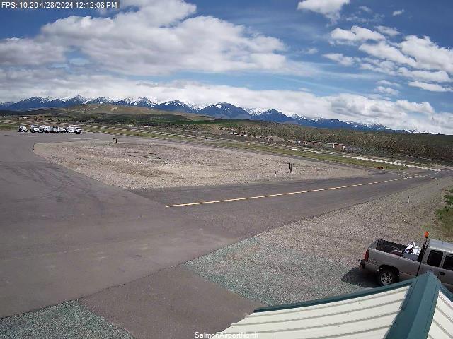
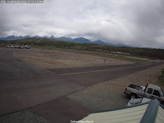
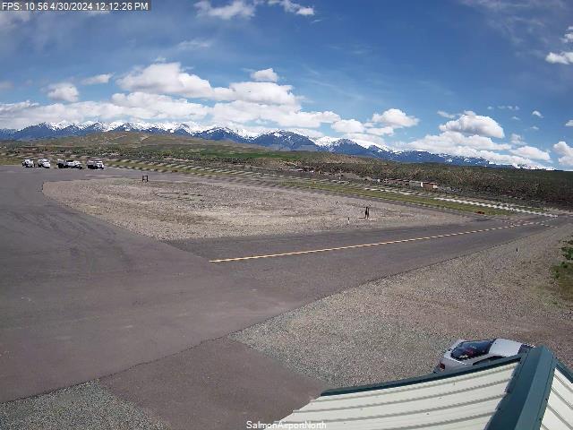
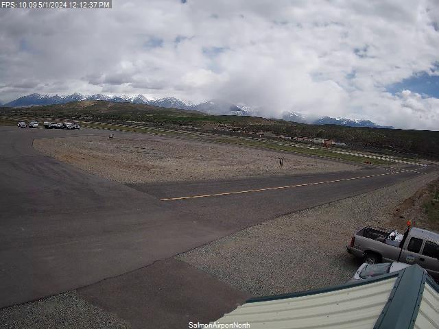
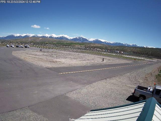
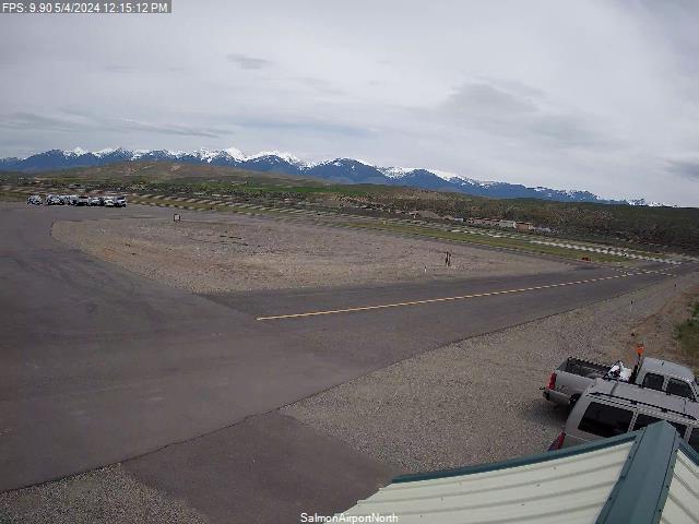
Salmon, Idaho, USA - 179.6 miles from Fort Boise (historical): Lemhi County Airport - Views north & south from the Airport.
Operator: Lemhi County Airport
Operator: Lemhi County Airport


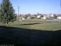
Condon, Oregon, USA - 183.9 miles from Fort Boise (historical): Condon High School - A view in southern direction.
Operator: Condon Schools
Operator: Condon Schools


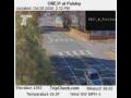
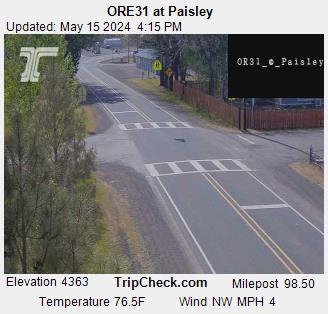
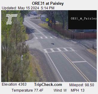
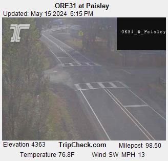
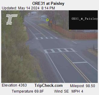
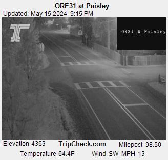
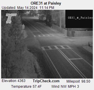
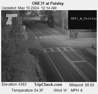
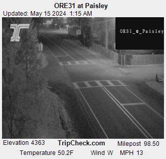
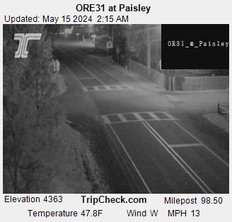
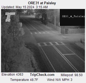
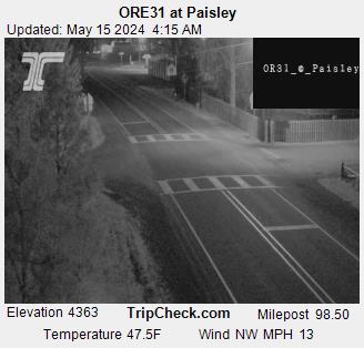
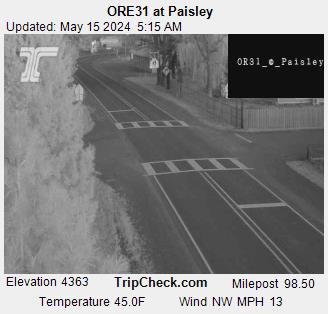
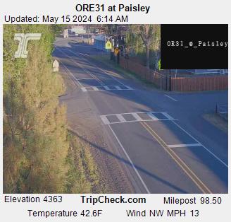
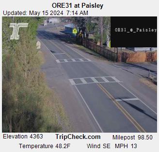
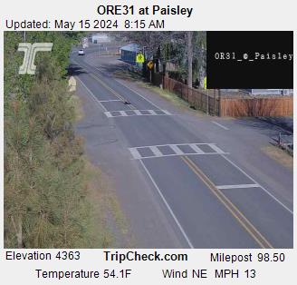
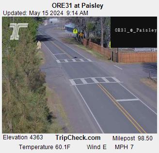
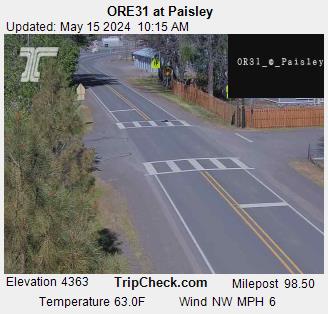
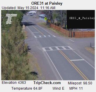
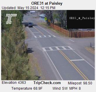
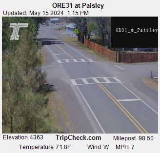
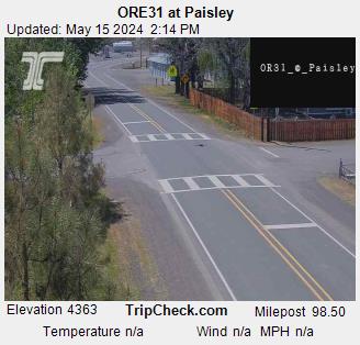
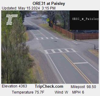
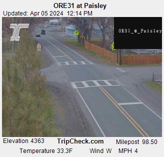
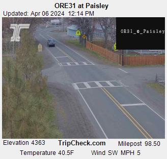
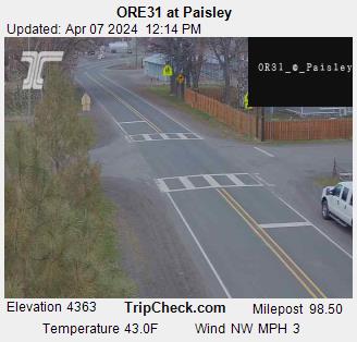
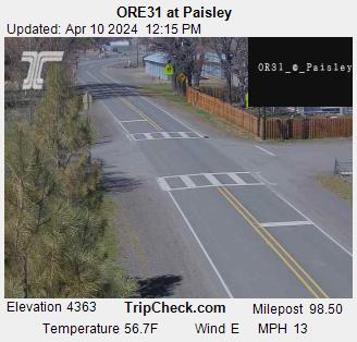
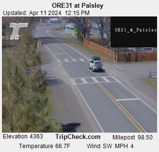
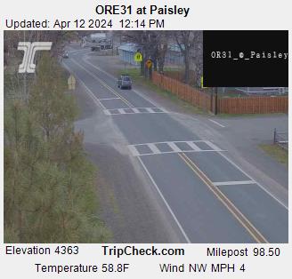
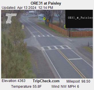
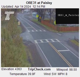
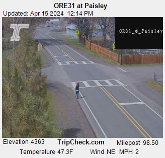
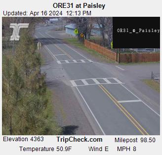
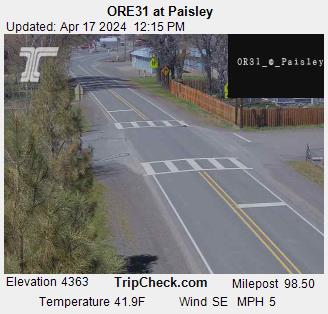
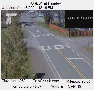
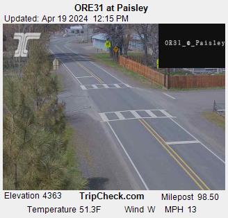
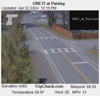
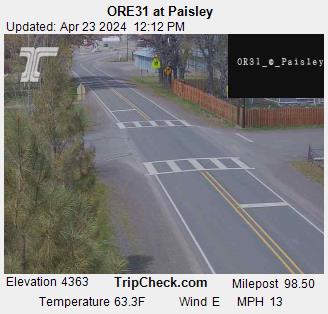
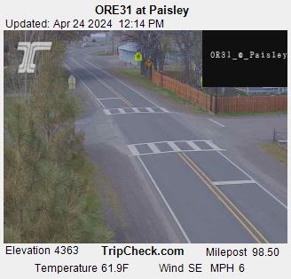
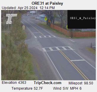
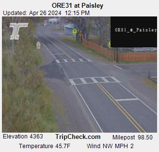
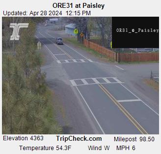
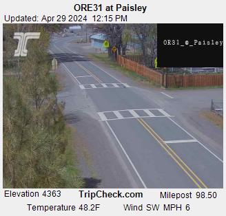
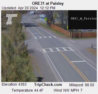
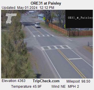
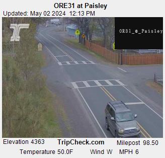
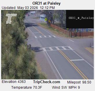
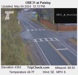
Paisley, Oregon, USA - 194.3 miles from Fort Boise (historical): ORE31 at Paisley - A view of the current traffic situation on the ORE31.
Operator: Oregon Department of Transportation
Operator: Oregon Department of Transportation


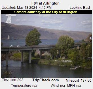
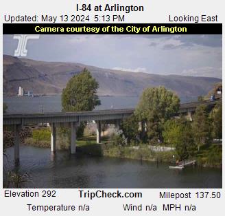
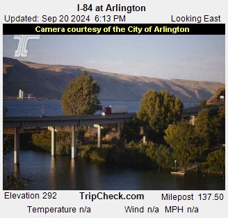
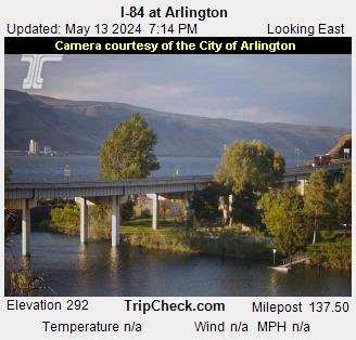
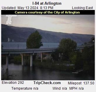
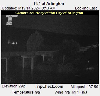
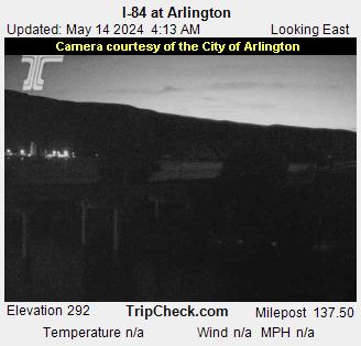
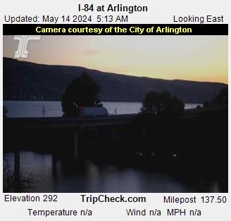
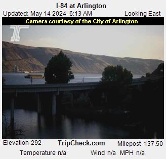
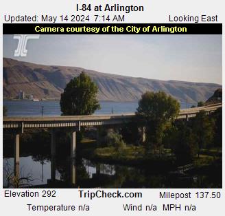
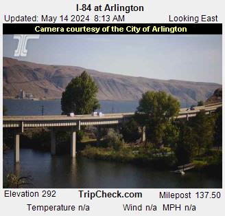
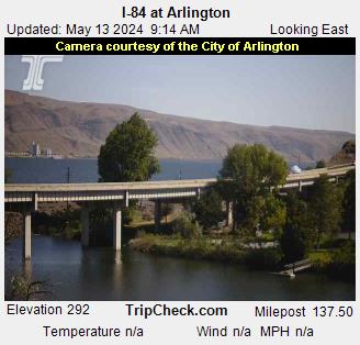
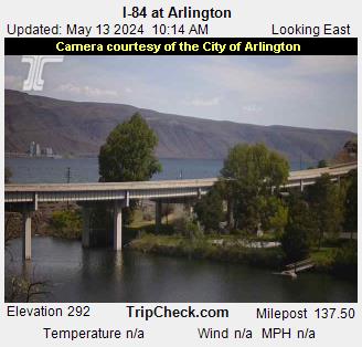
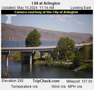
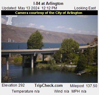
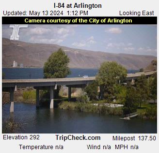
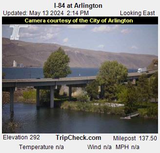
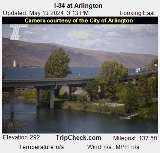
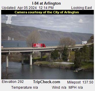
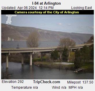
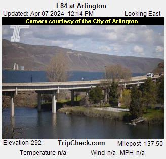
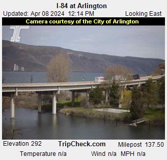
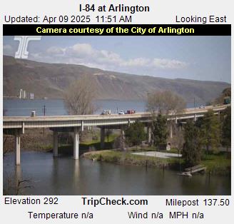
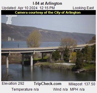
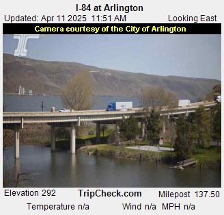
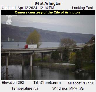
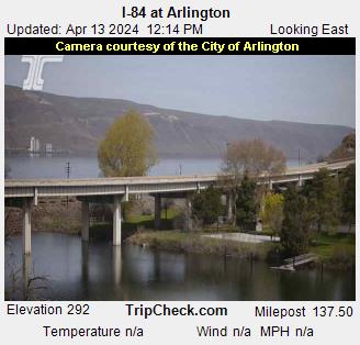
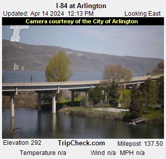
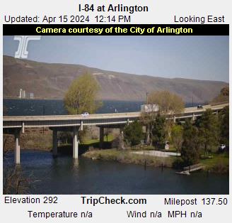
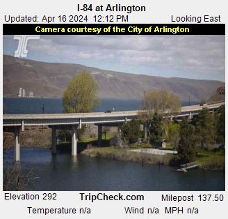
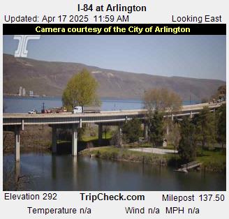
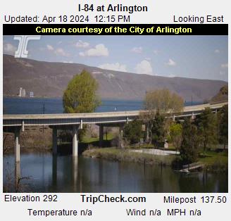
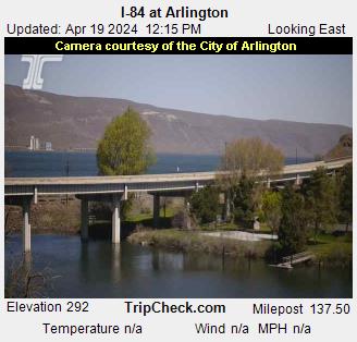
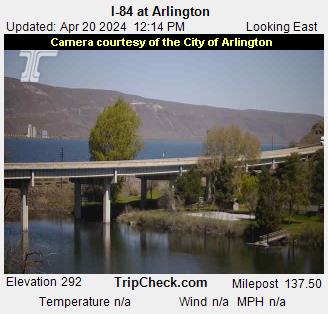
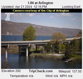
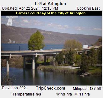
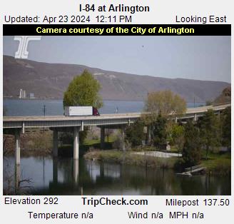
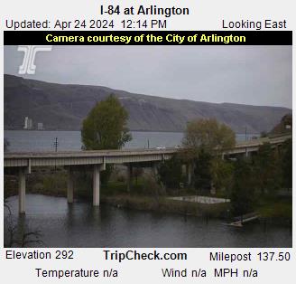
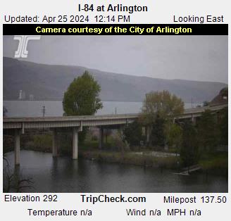
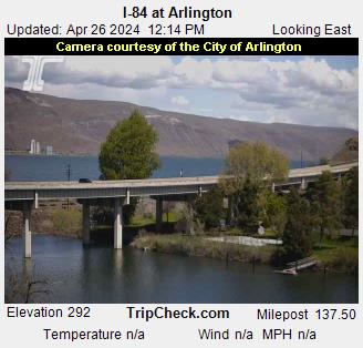
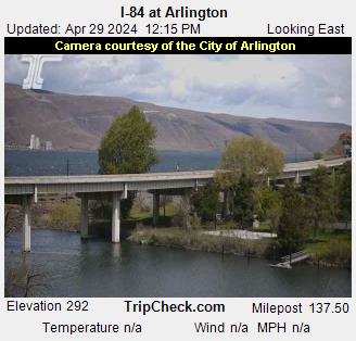
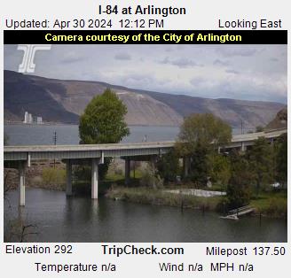
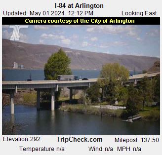
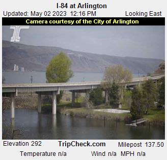
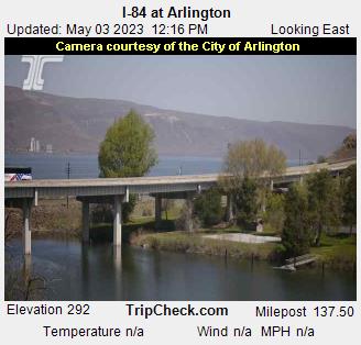
Arlington, Oregon, USA - 203.6 miles from Fort Boise (historical): I-84 at Arlington - A view of the current traffic situation on the I-84.
Operator: Oregon Department of Transportation
Operator: Oregon Department of Transportation


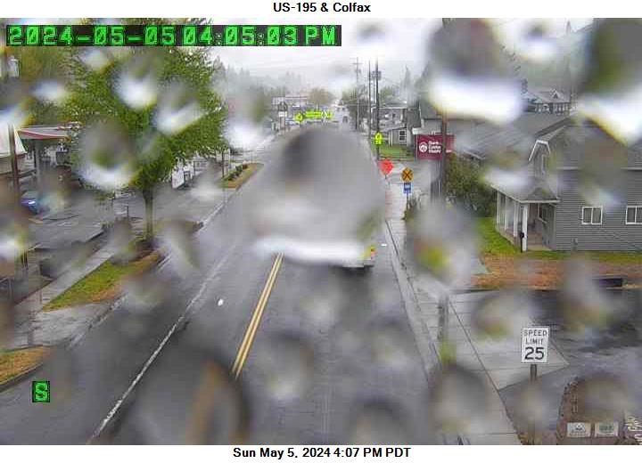
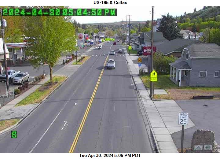
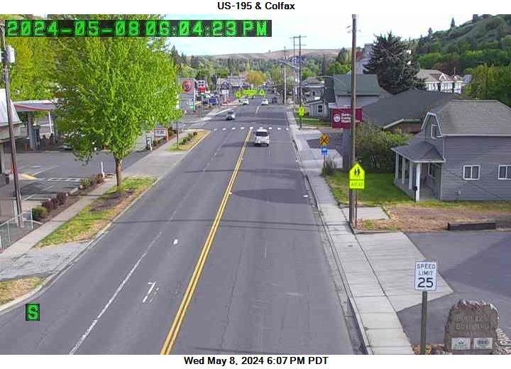
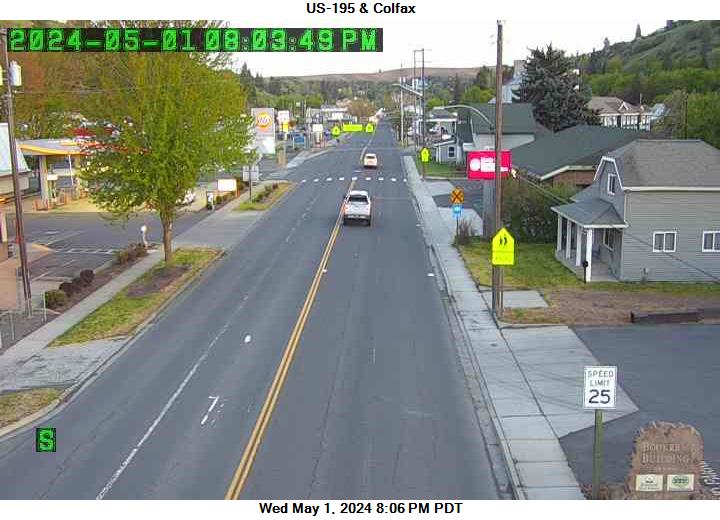
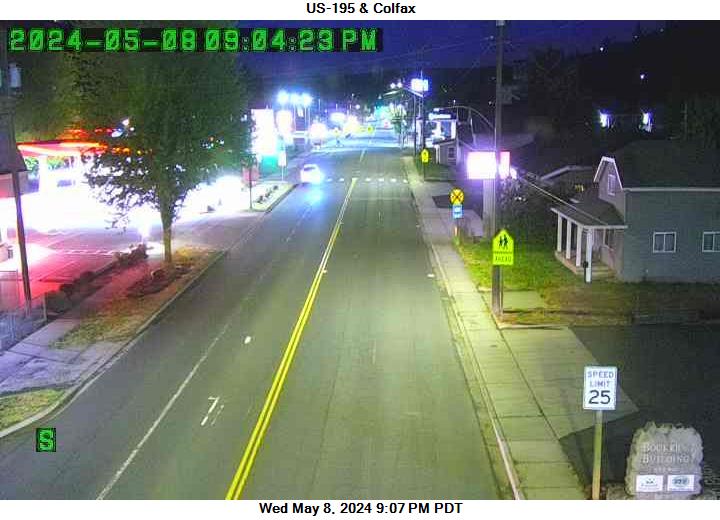
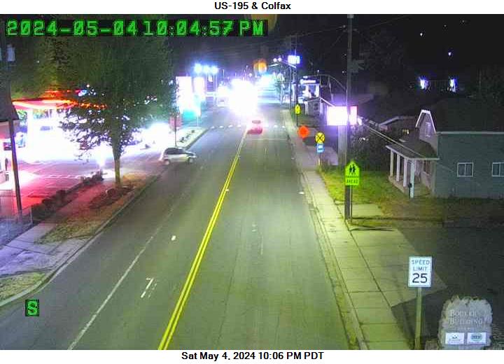
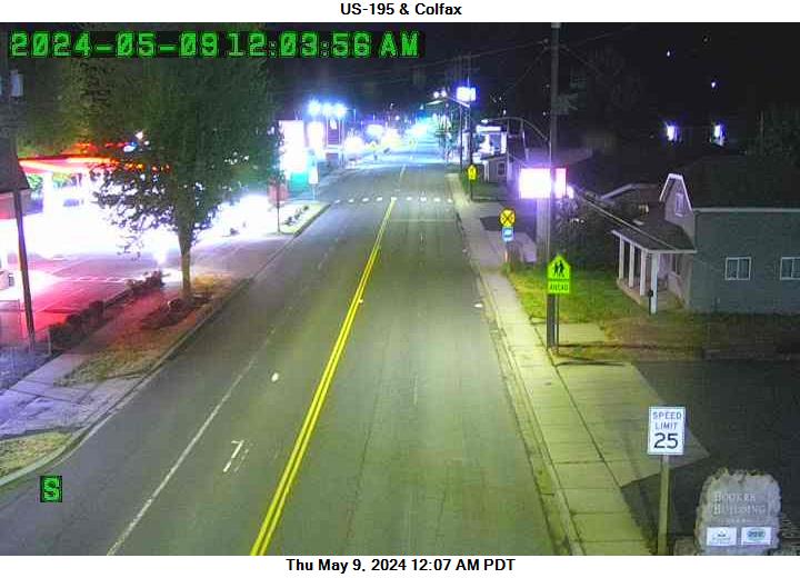
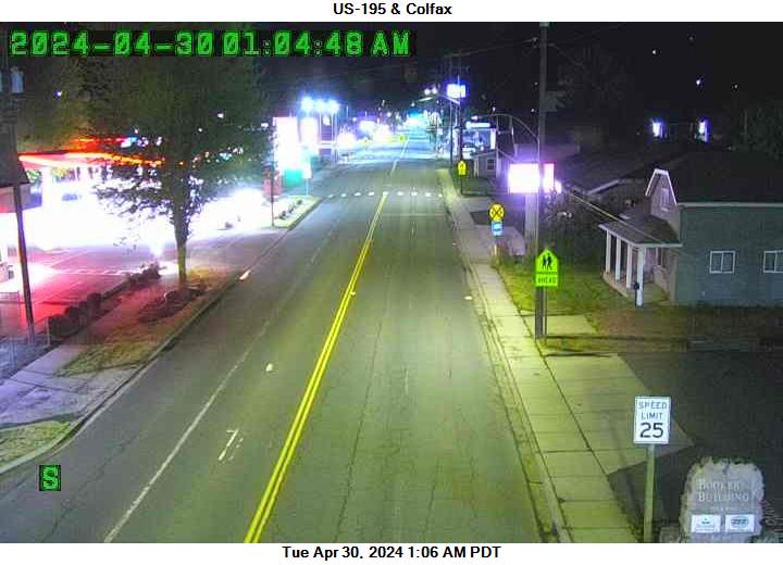
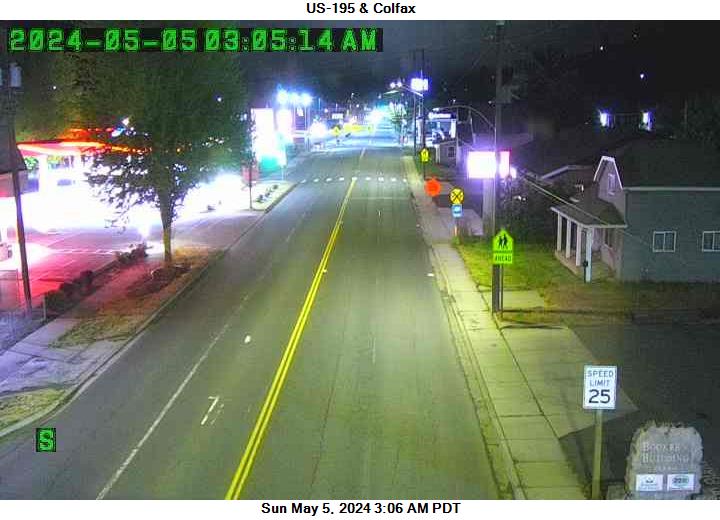
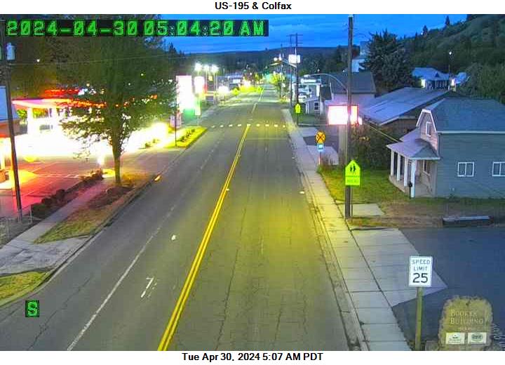
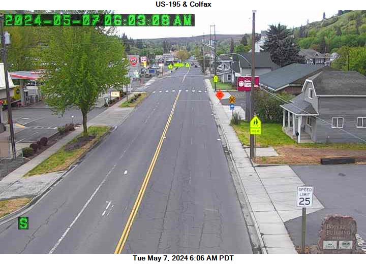
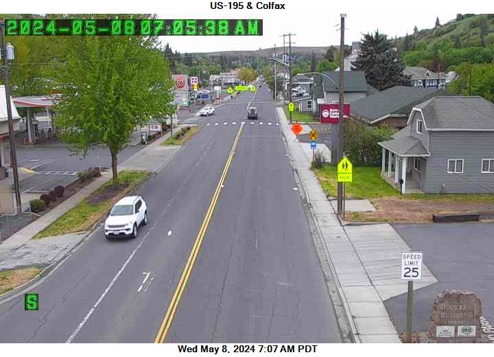
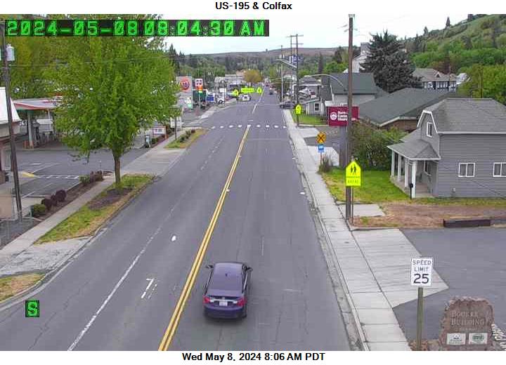
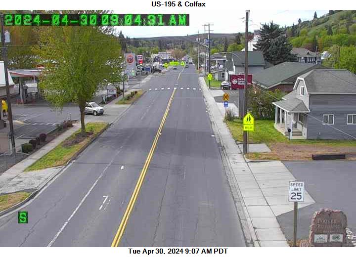
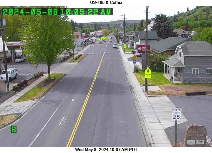
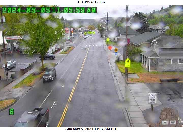
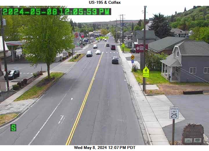
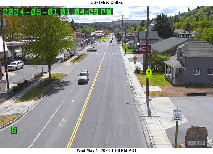
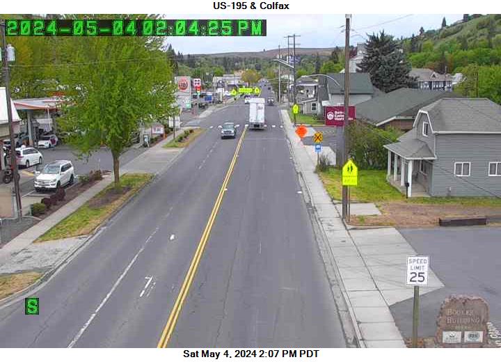
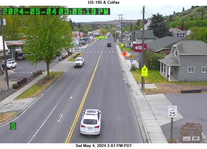
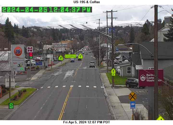
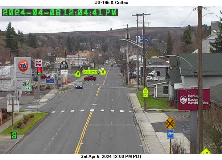
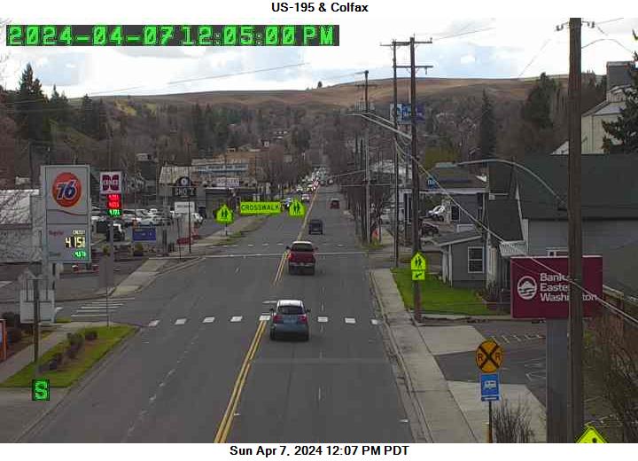
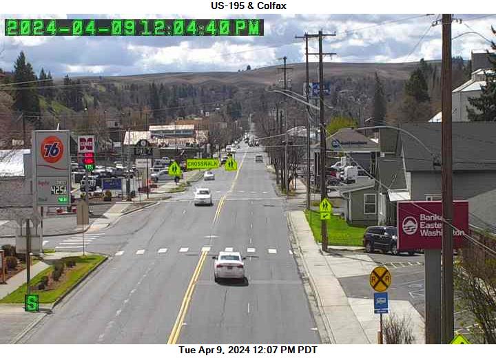
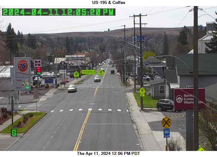
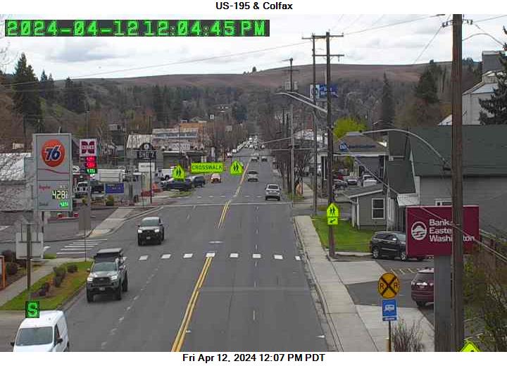
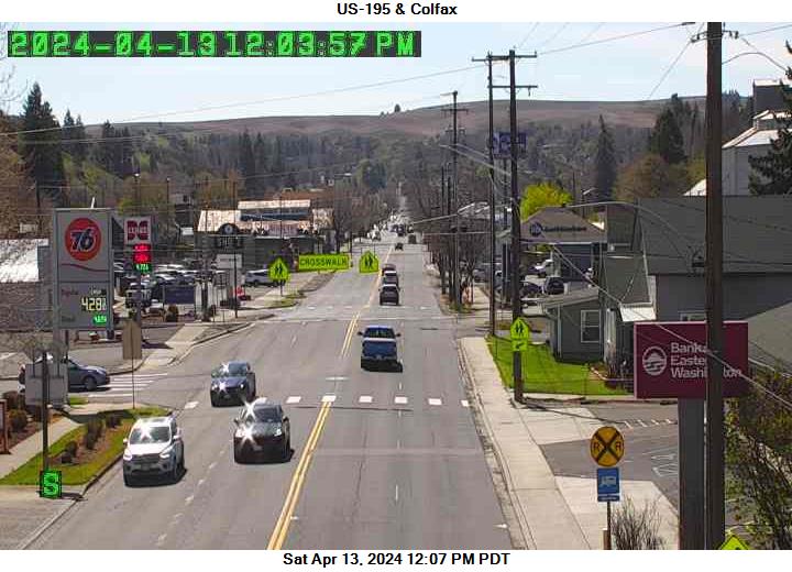
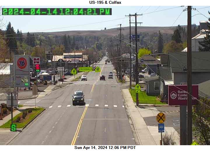
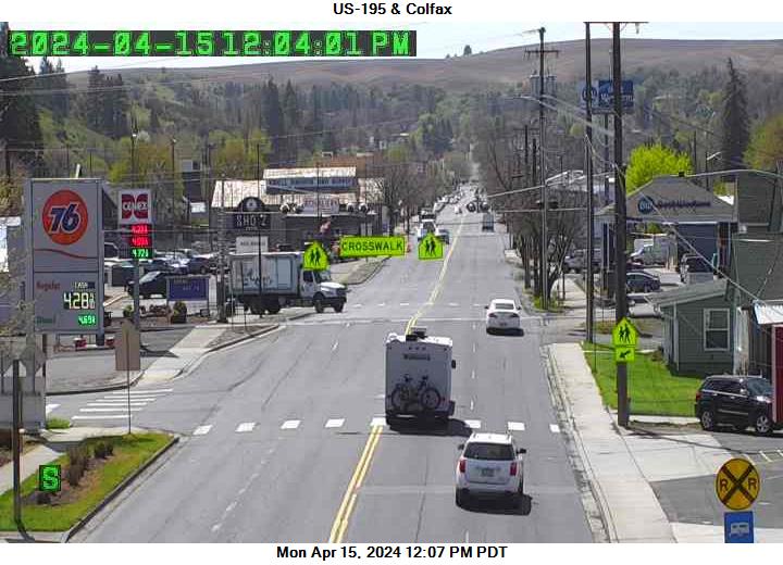
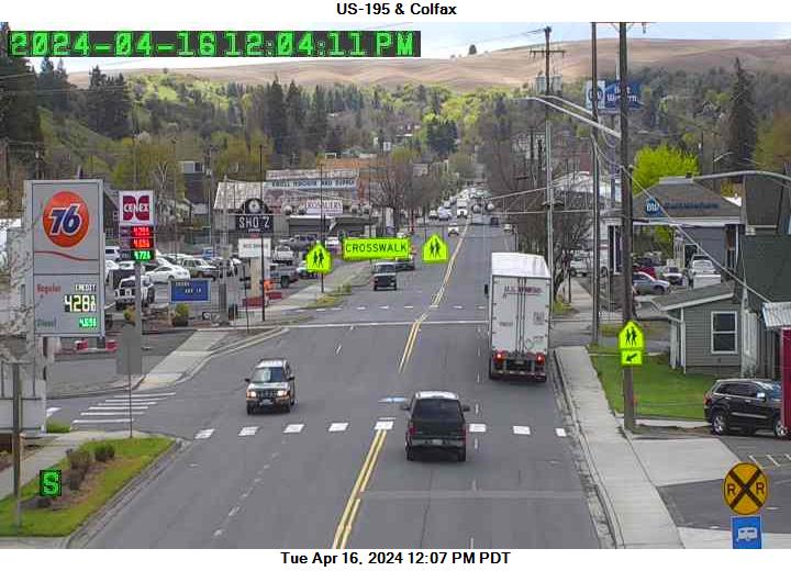
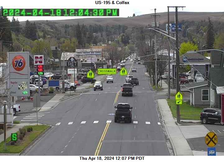
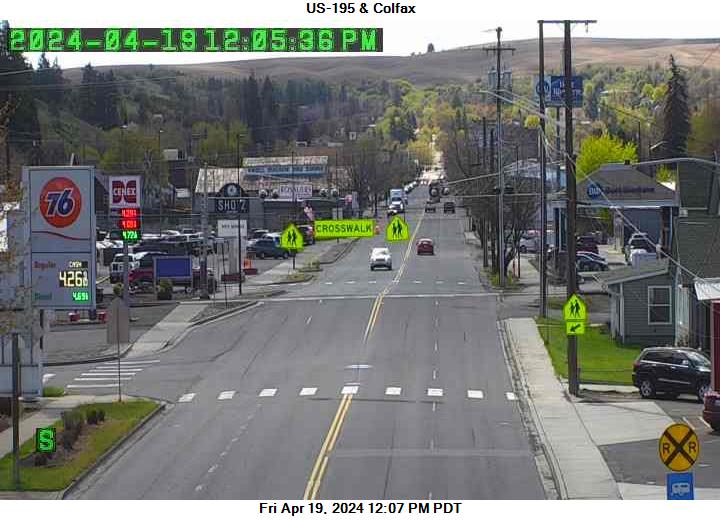
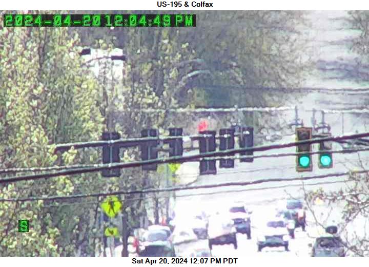
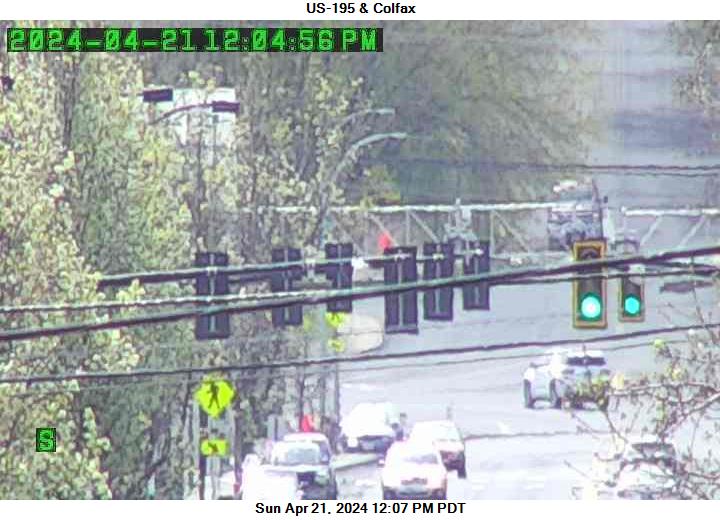
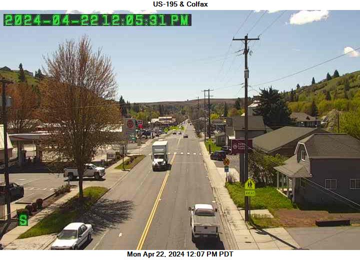
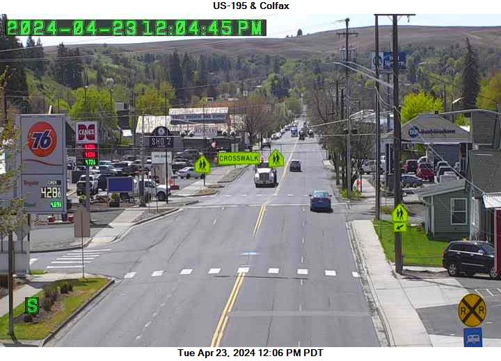
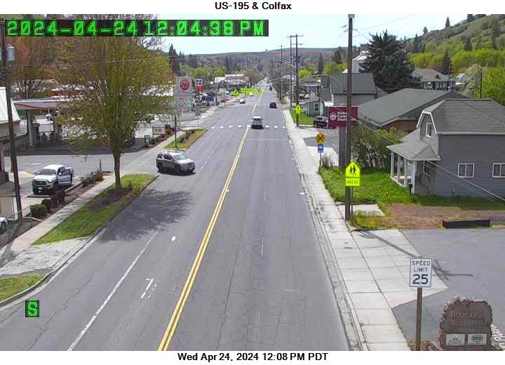
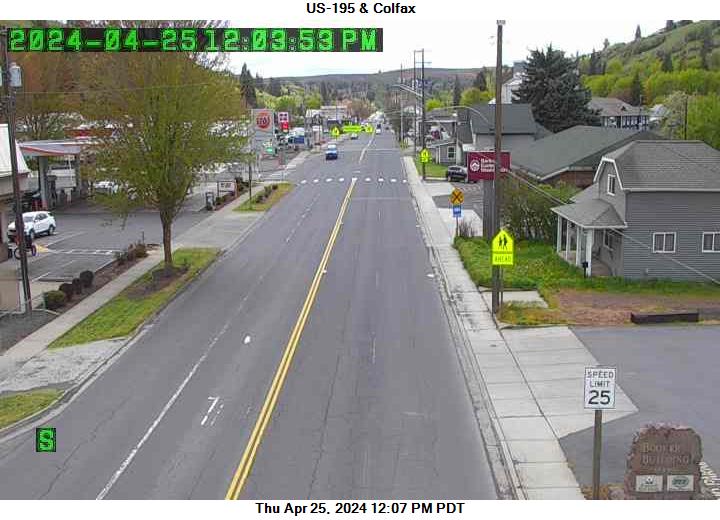
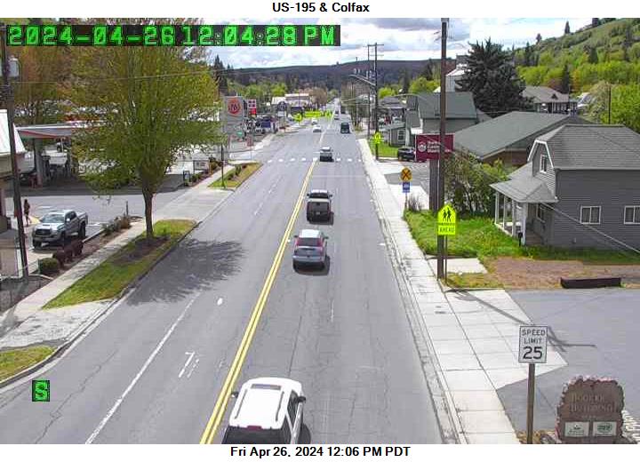
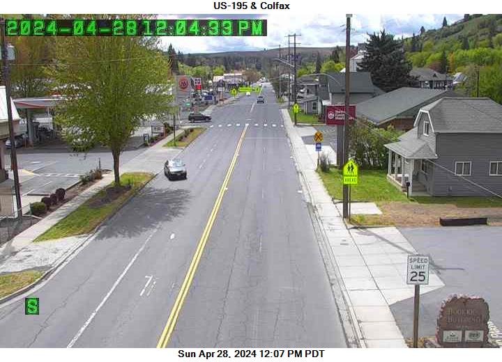
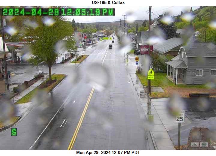
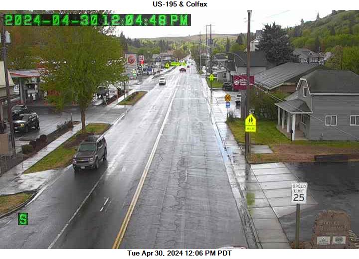
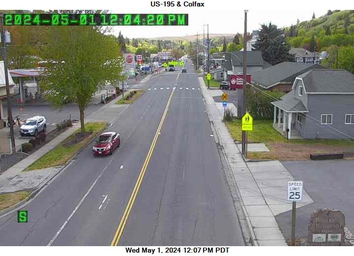
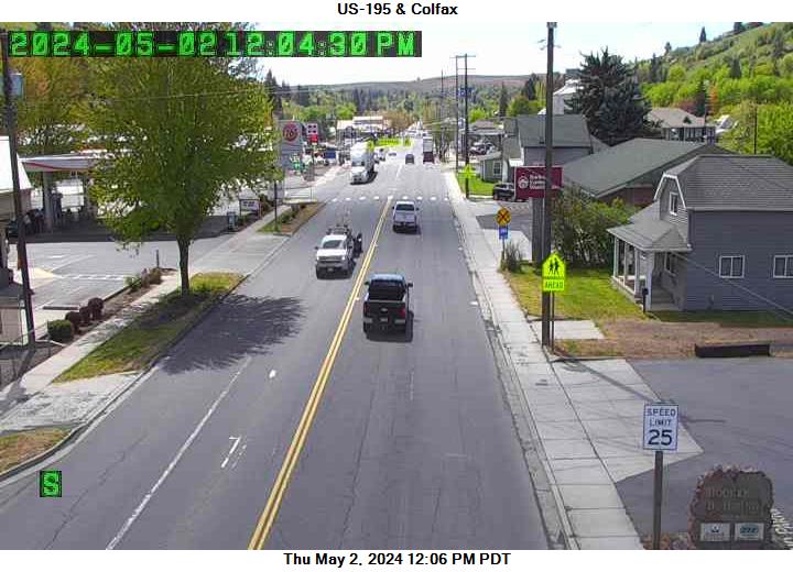
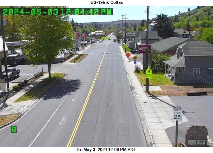
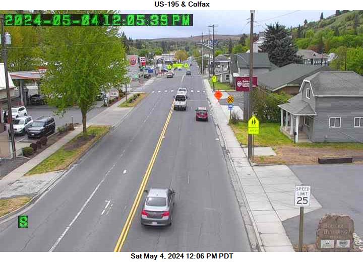
Colfax, Washington, USA - 211.5 miles from Fort Boise (historical): US 195 - Colfax - A view of the current traffic situation.
Operator: WSDOT
Operator: WSDOT


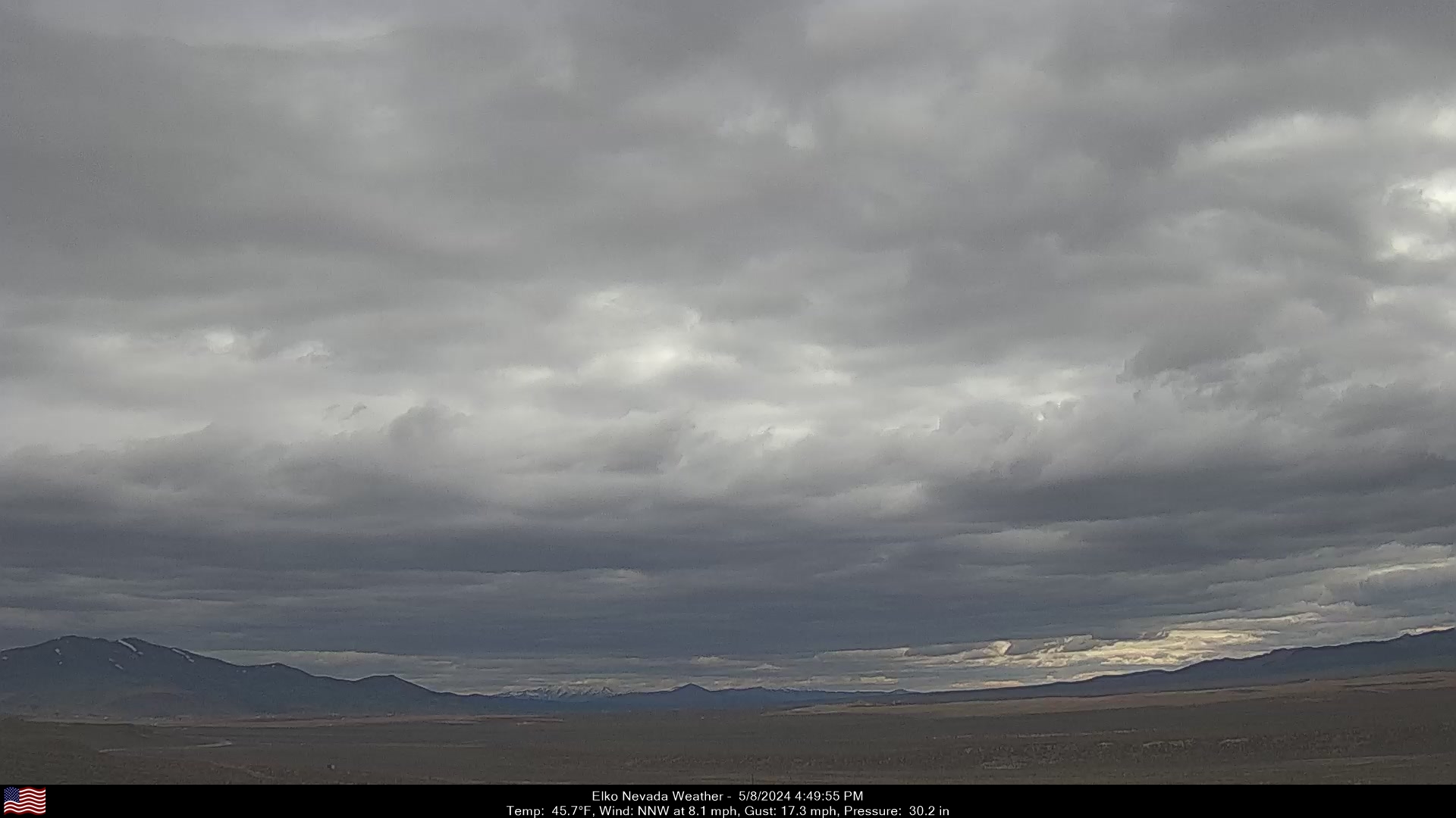
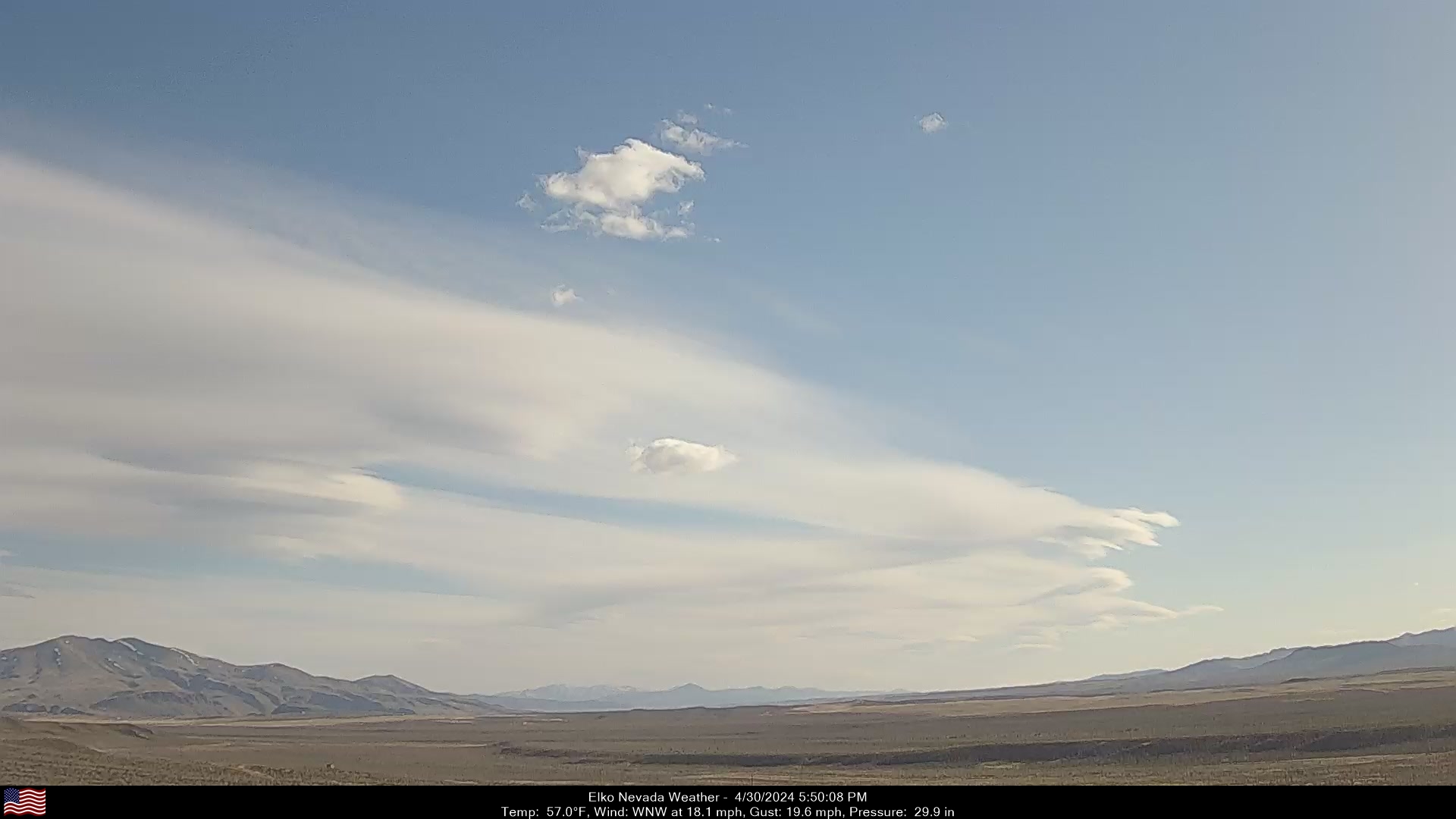
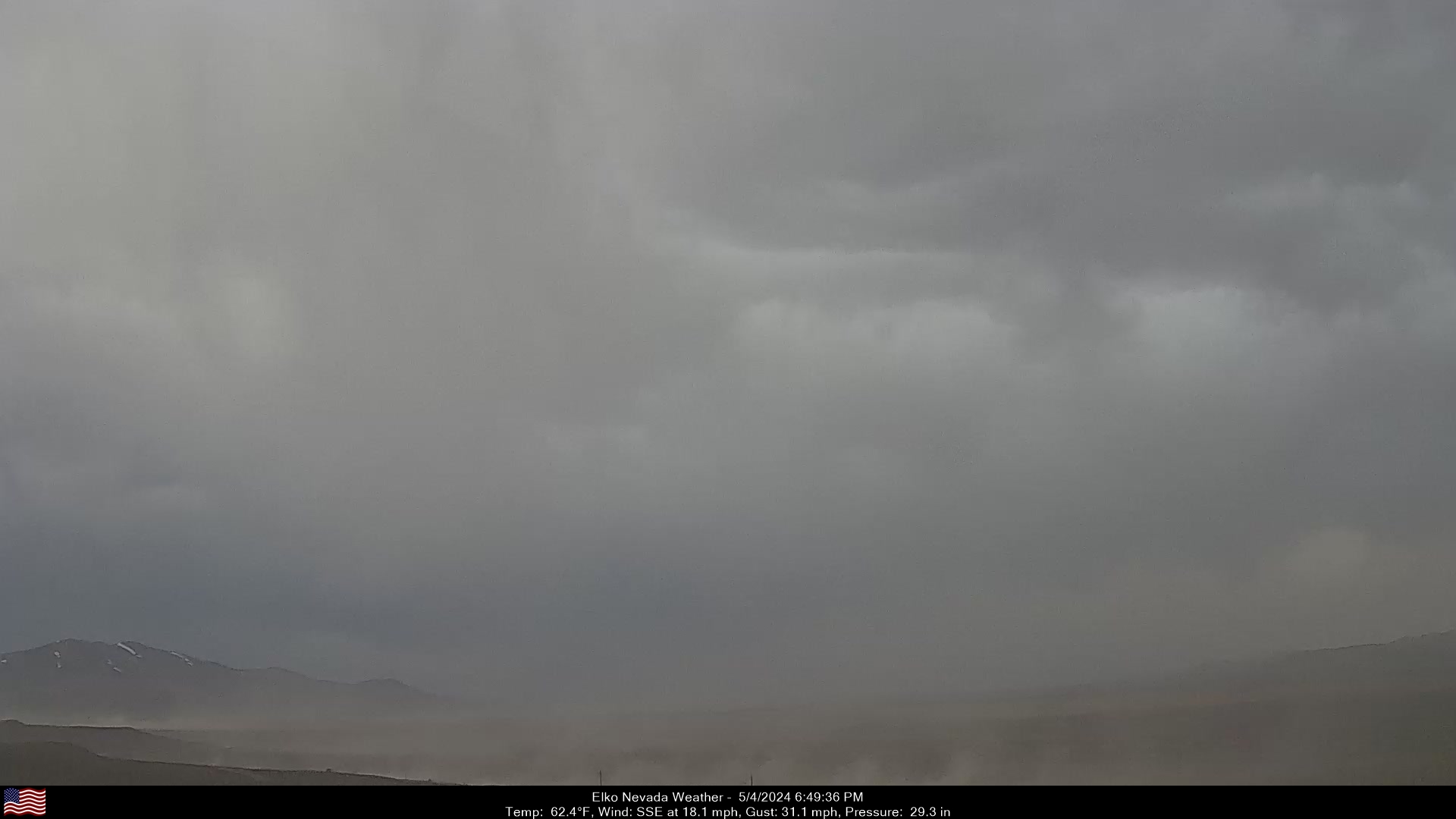
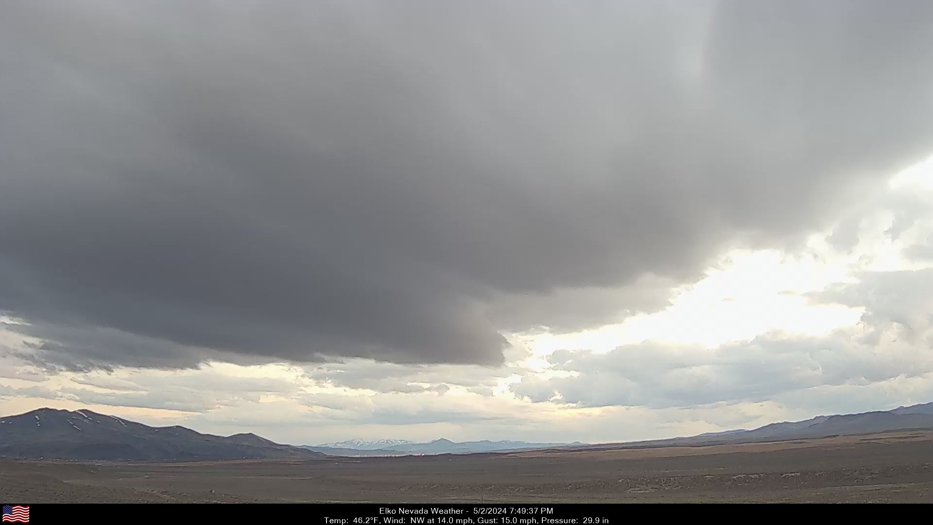
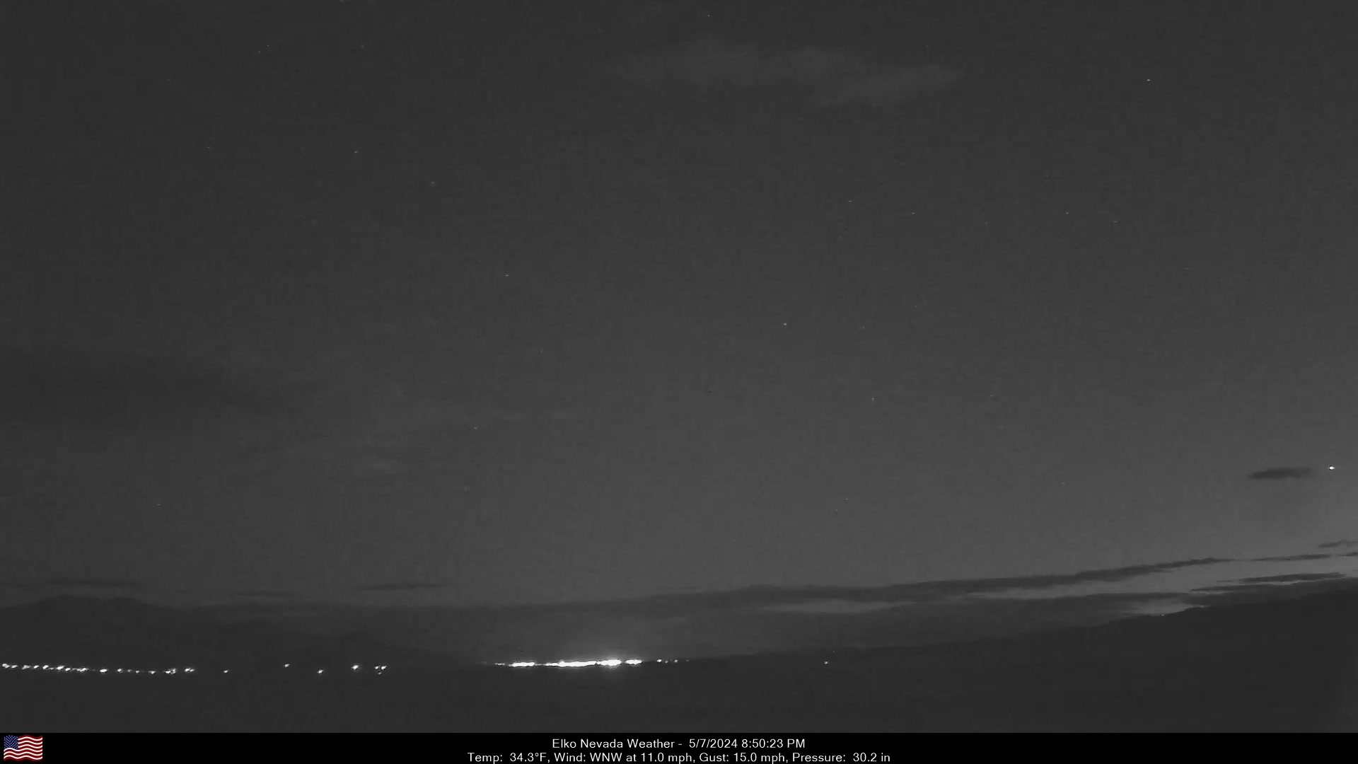
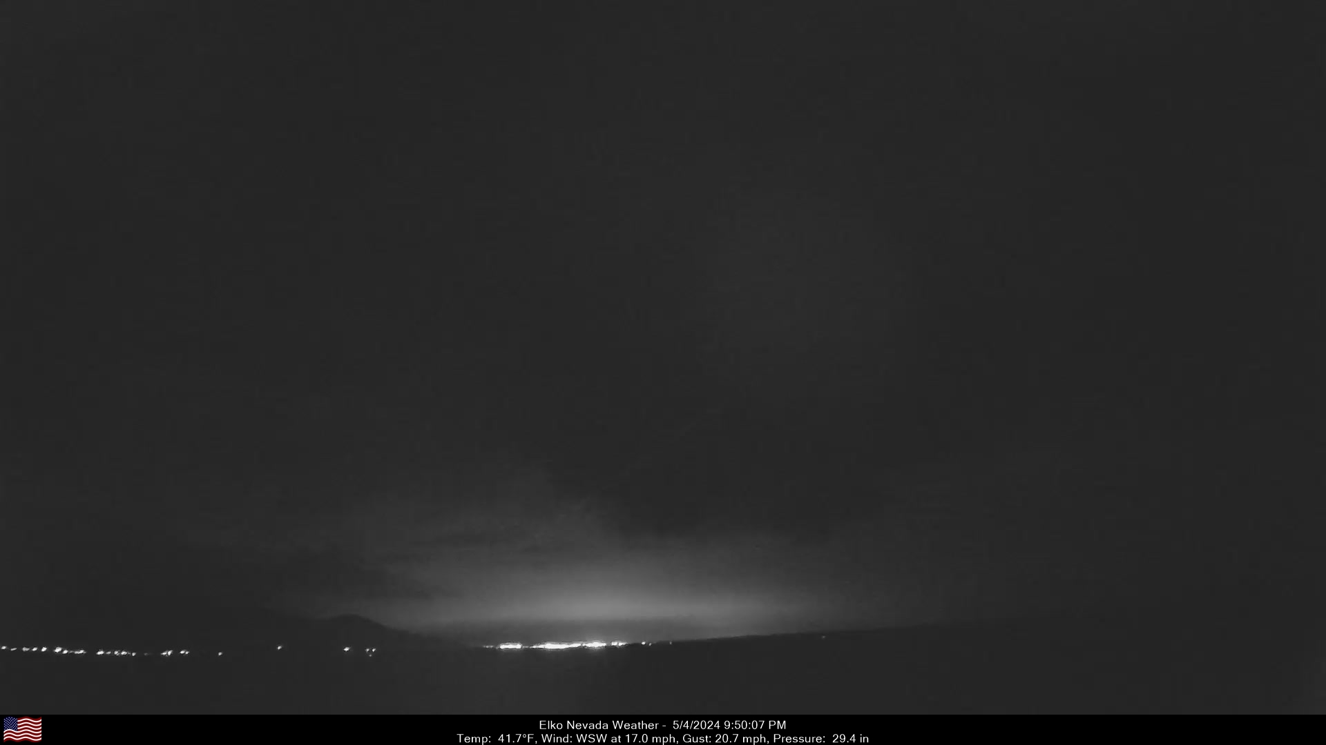
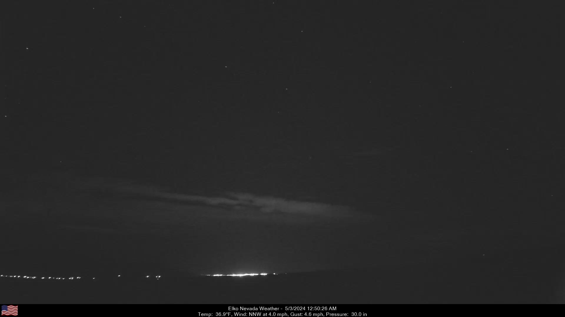
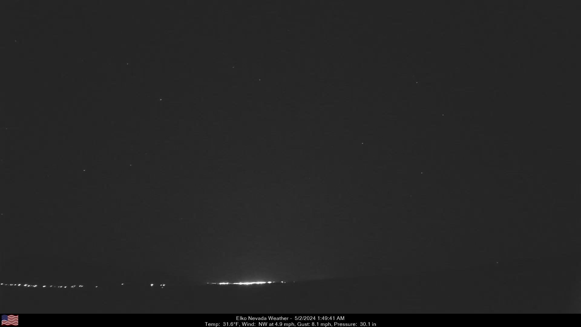
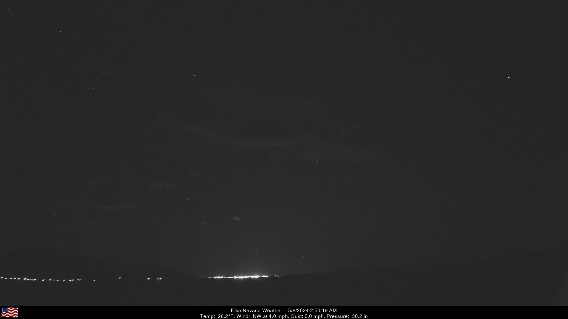
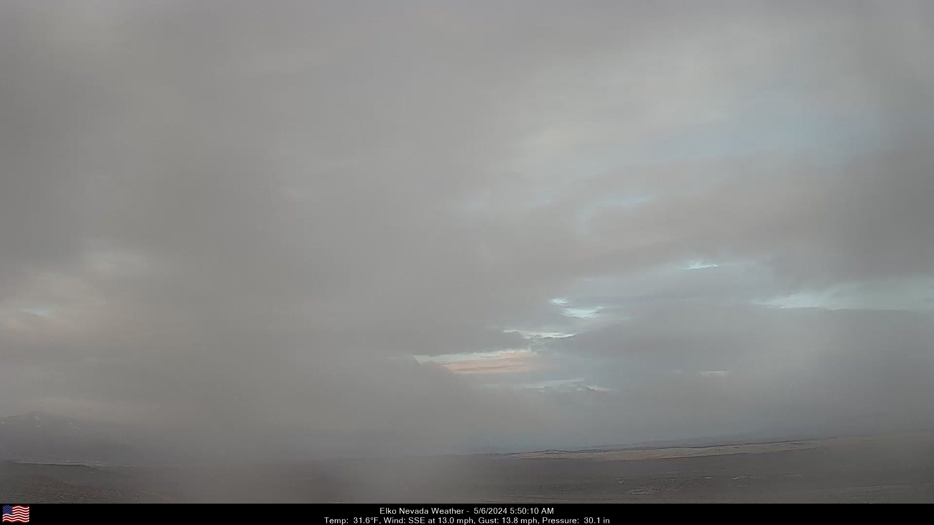
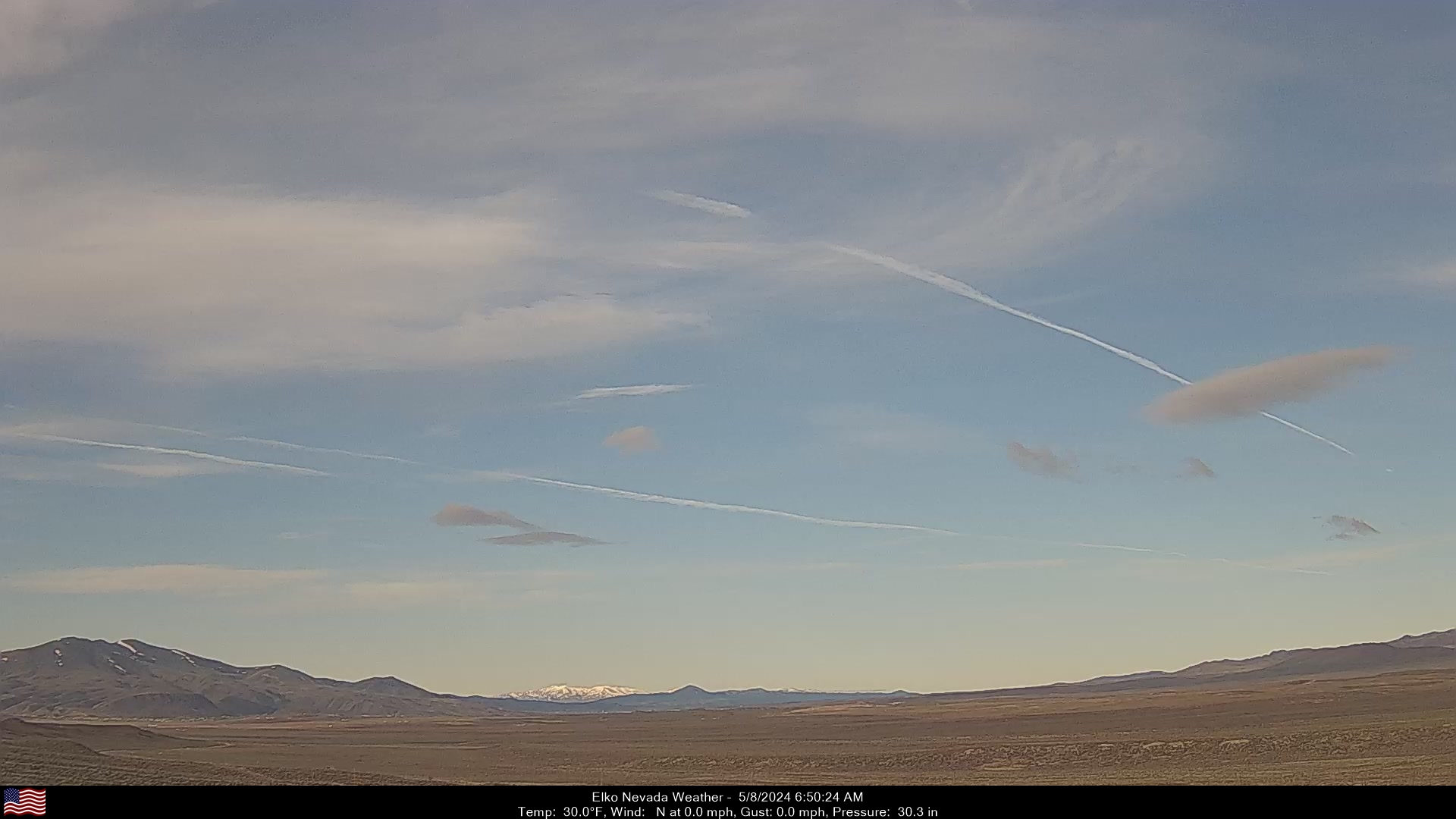
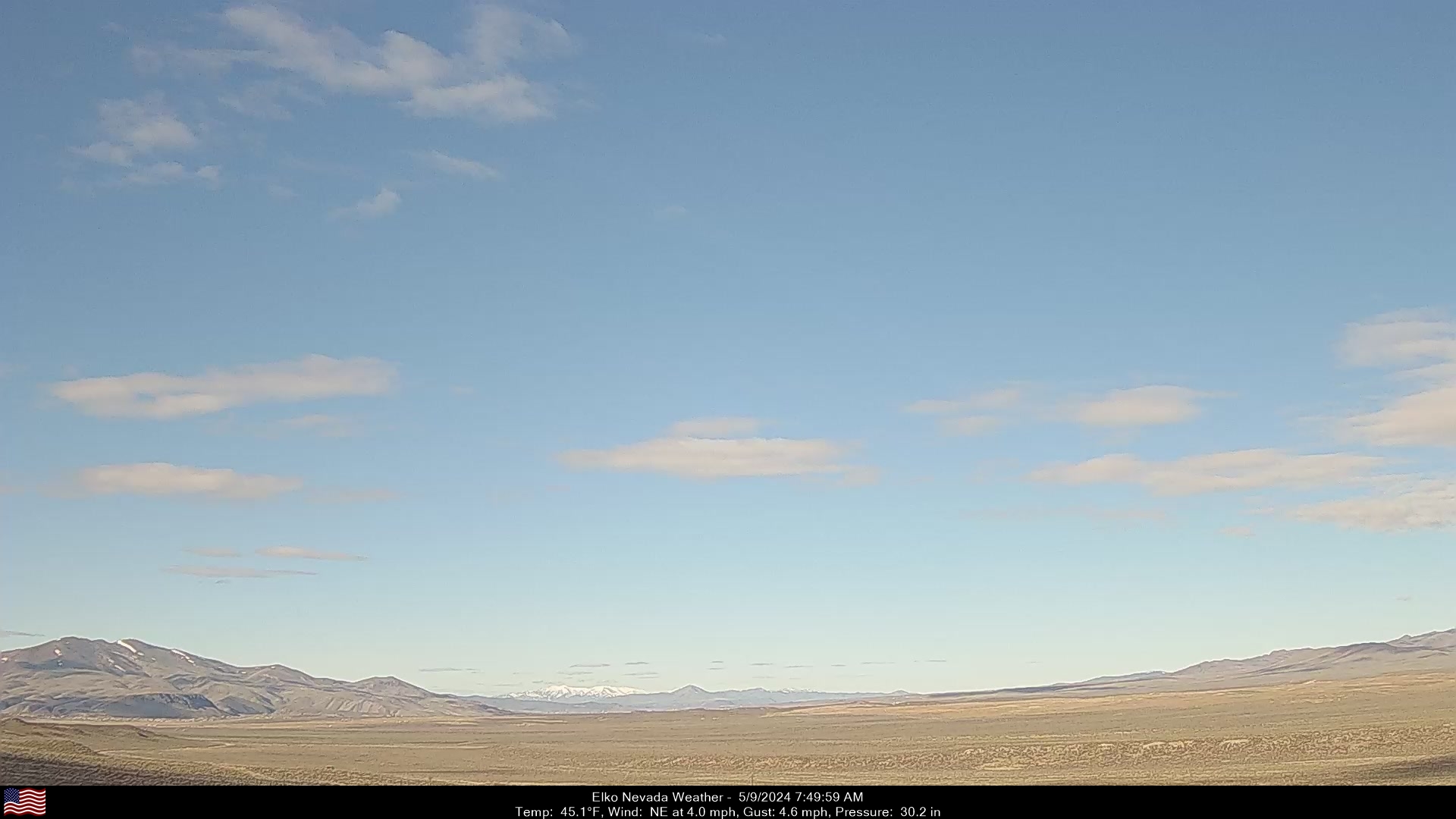
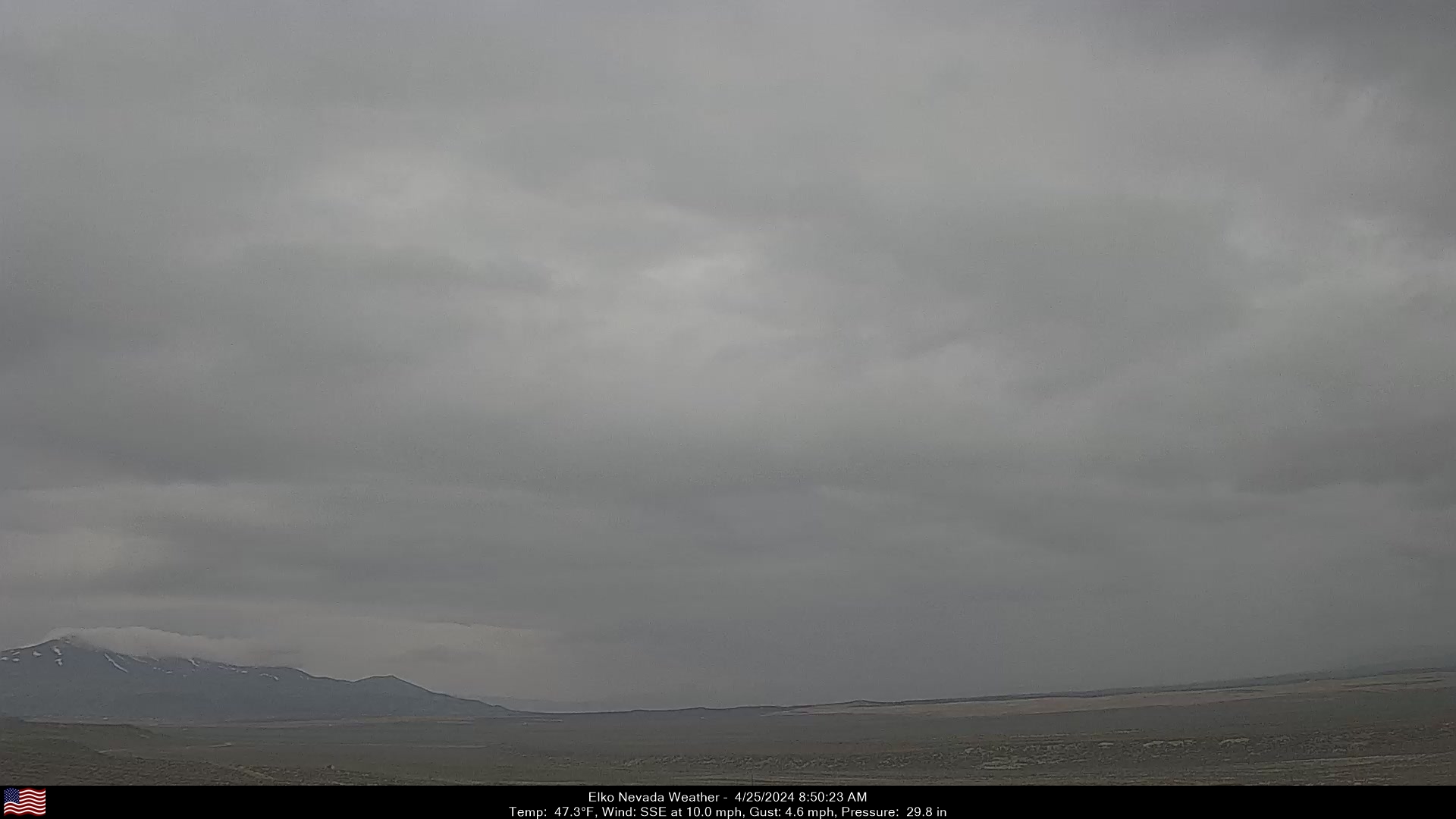
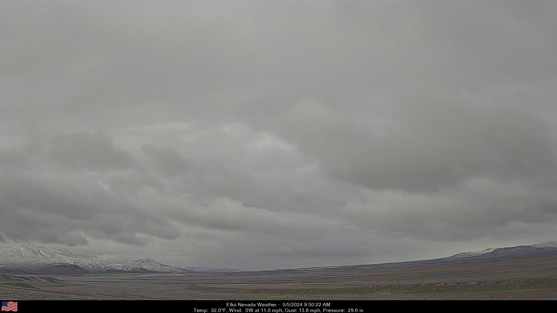
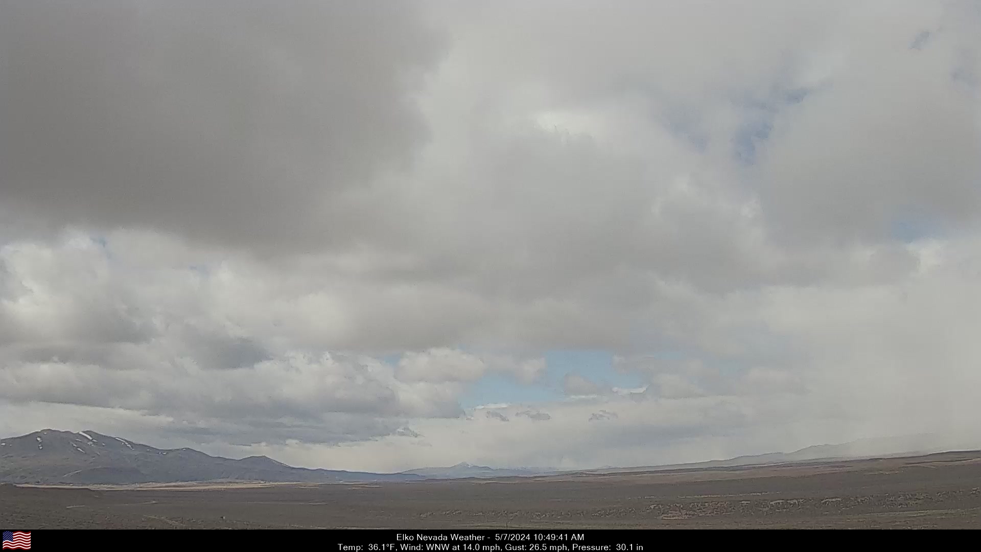
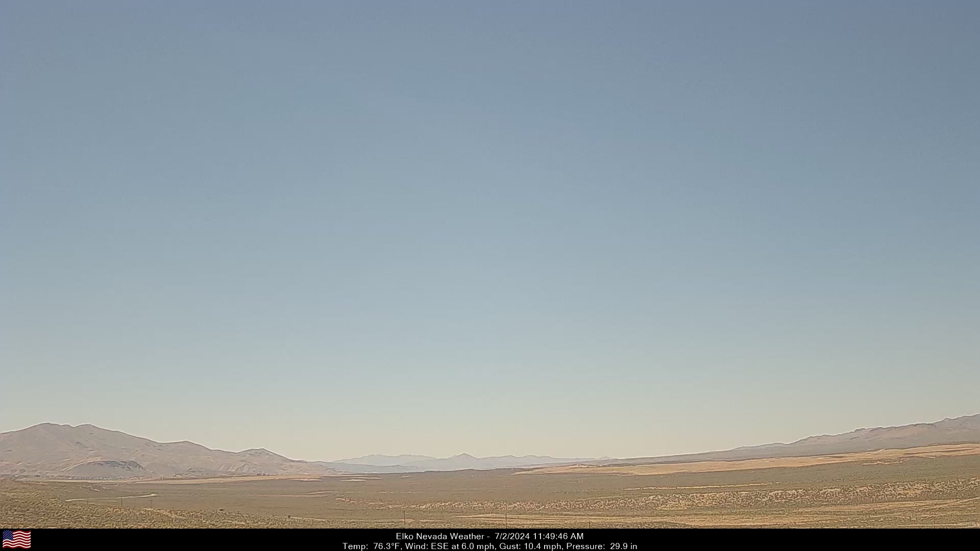
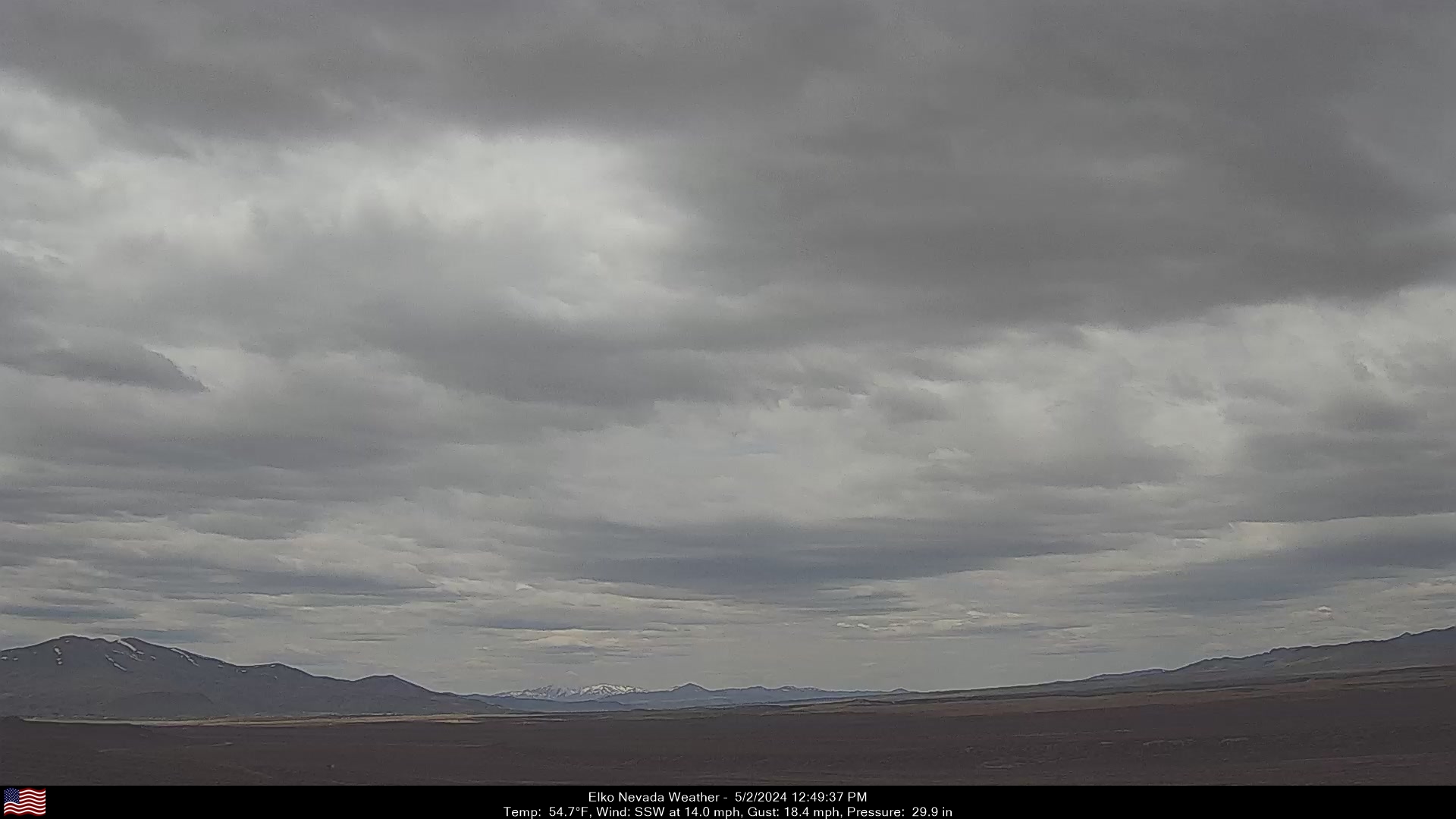
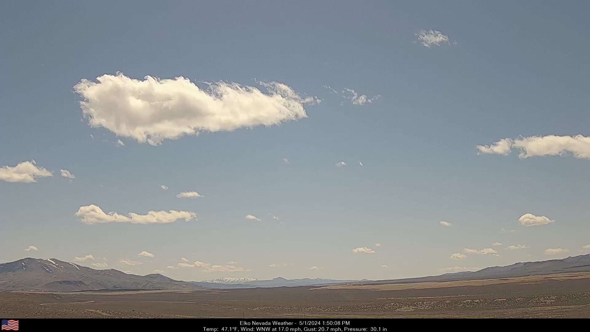
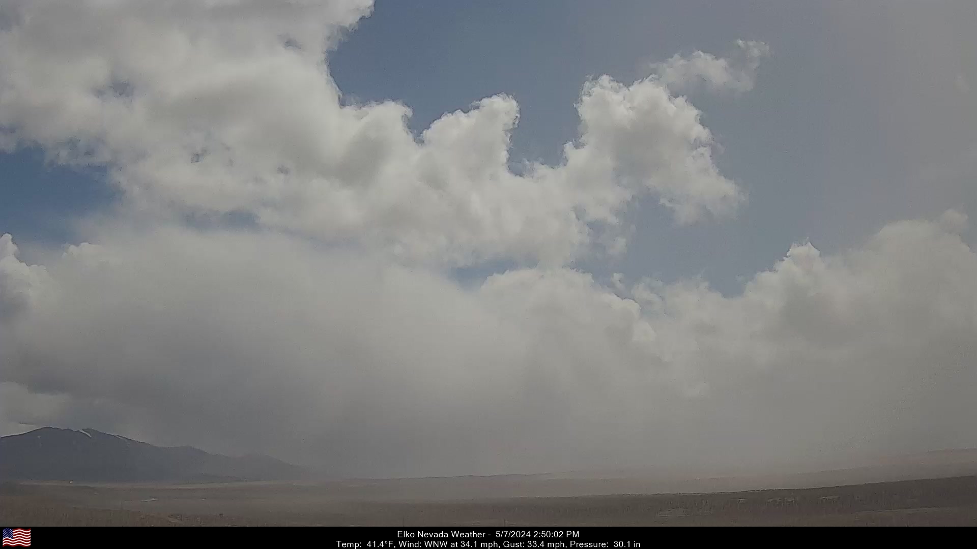
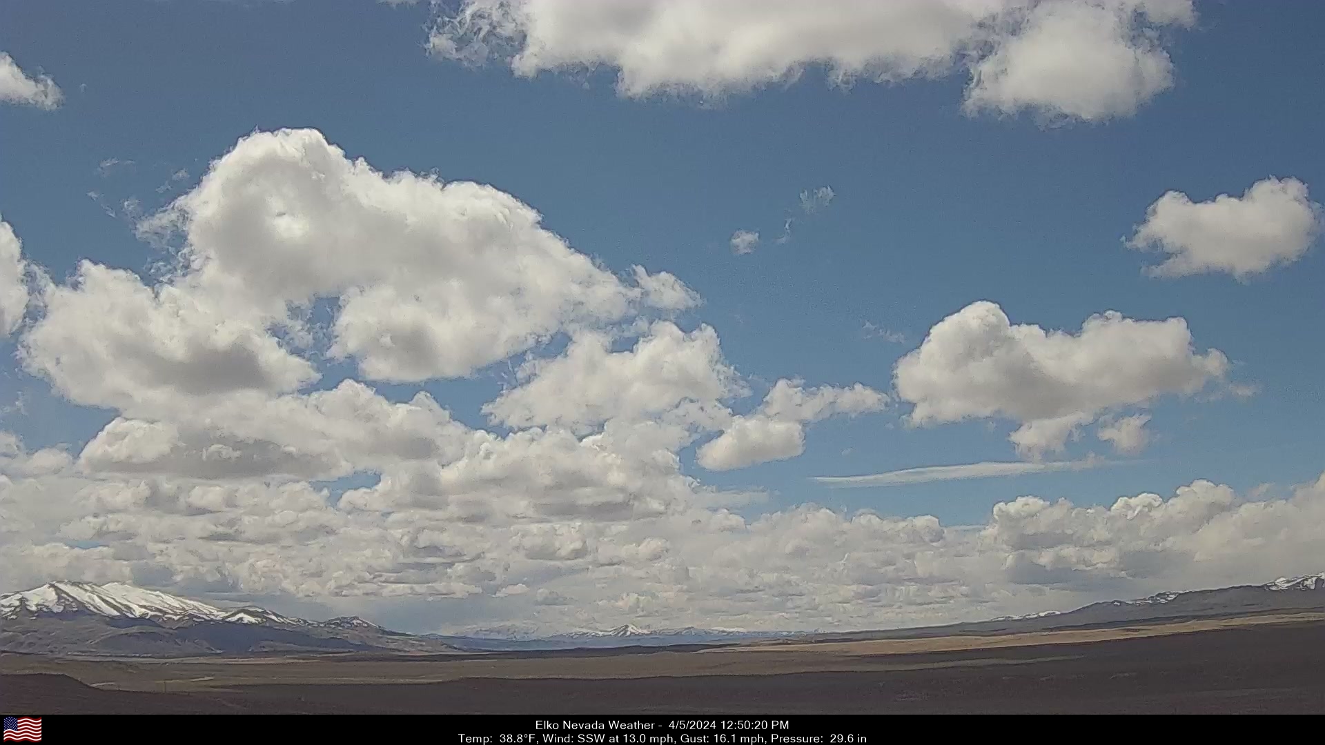
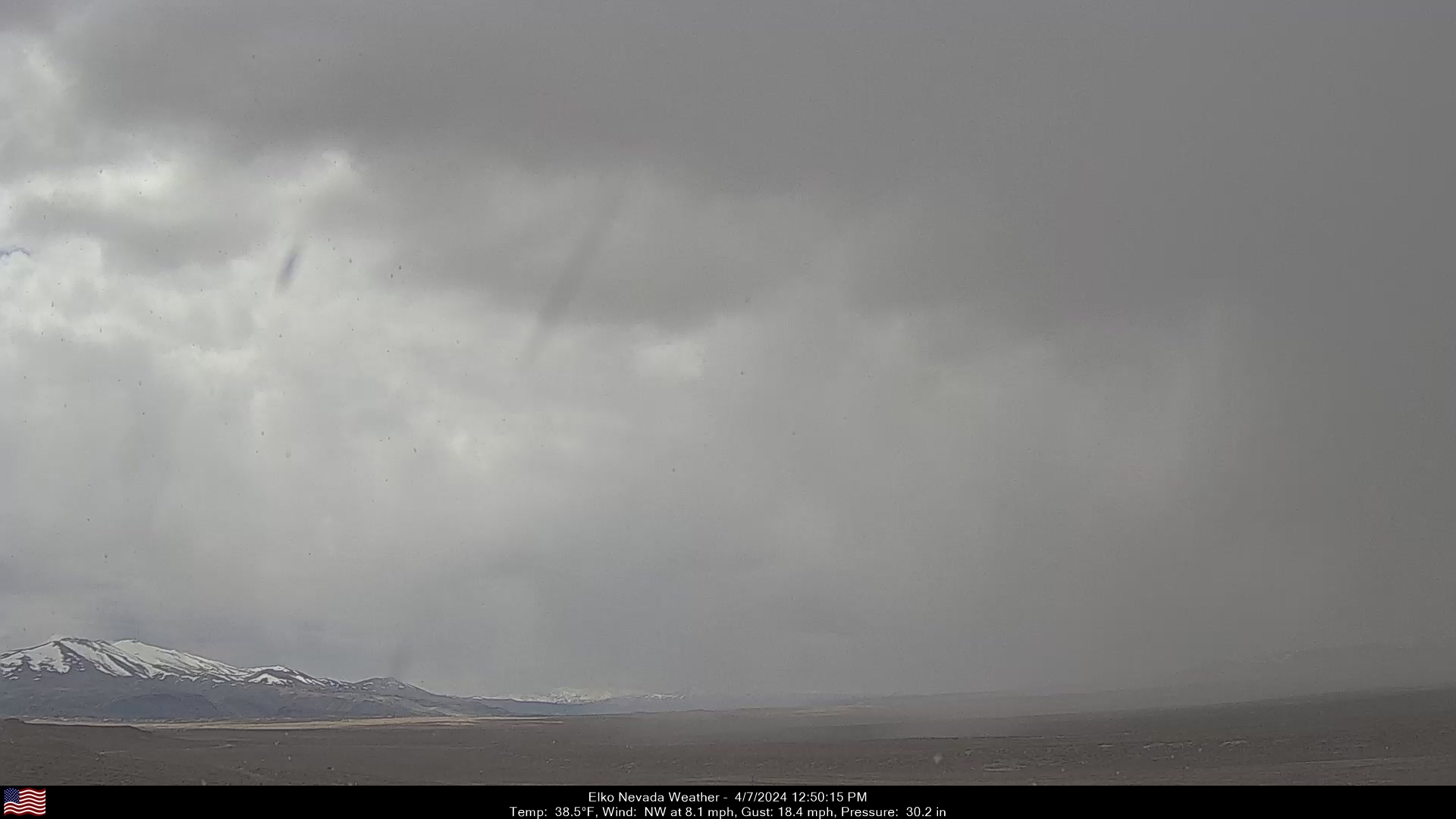
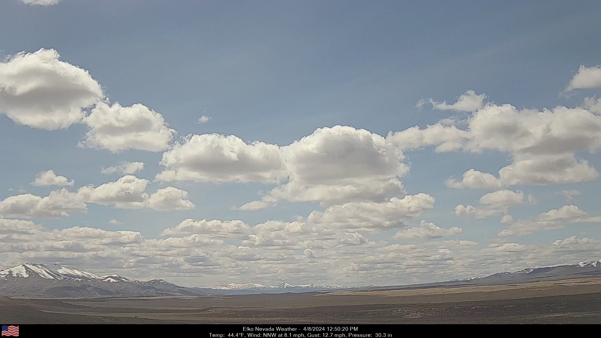
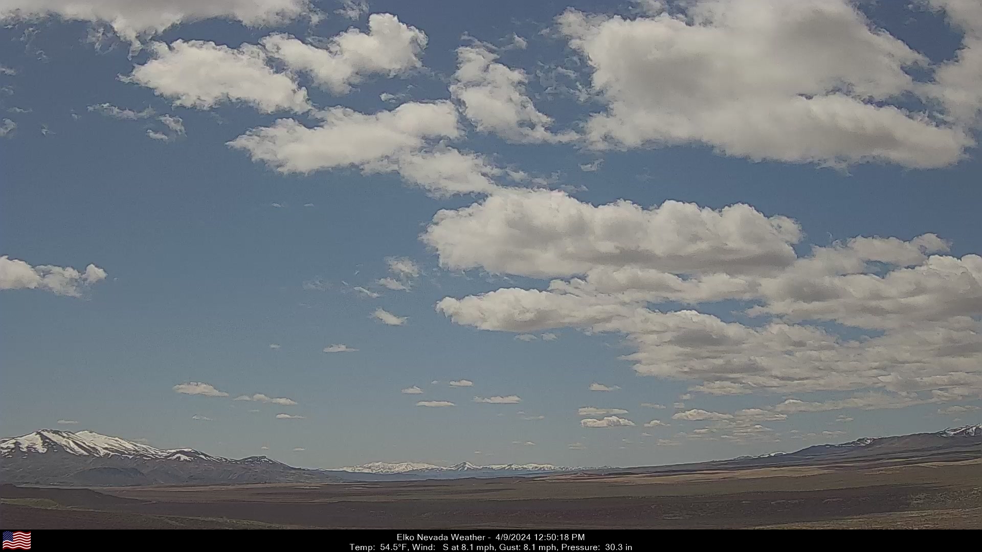
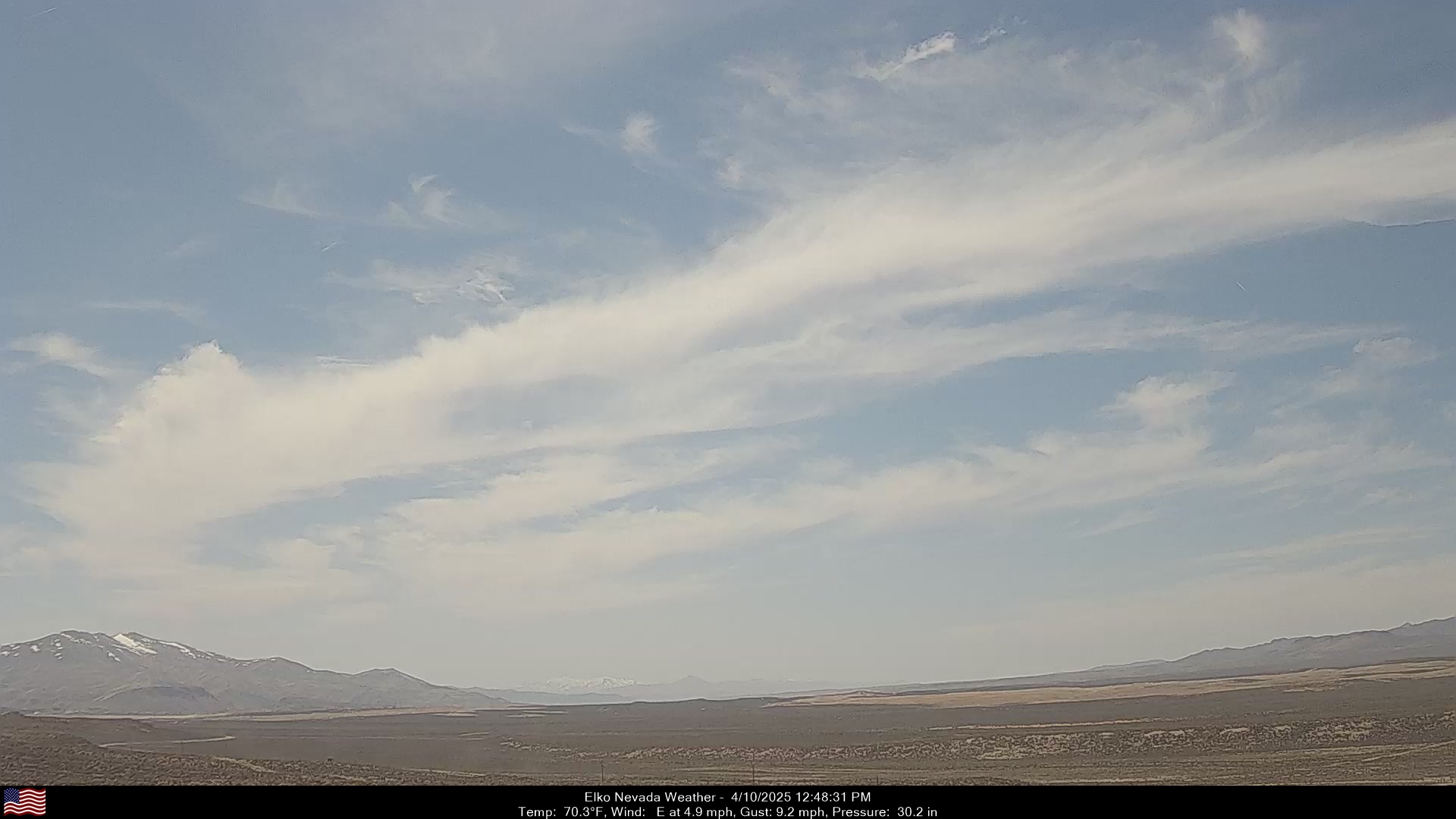
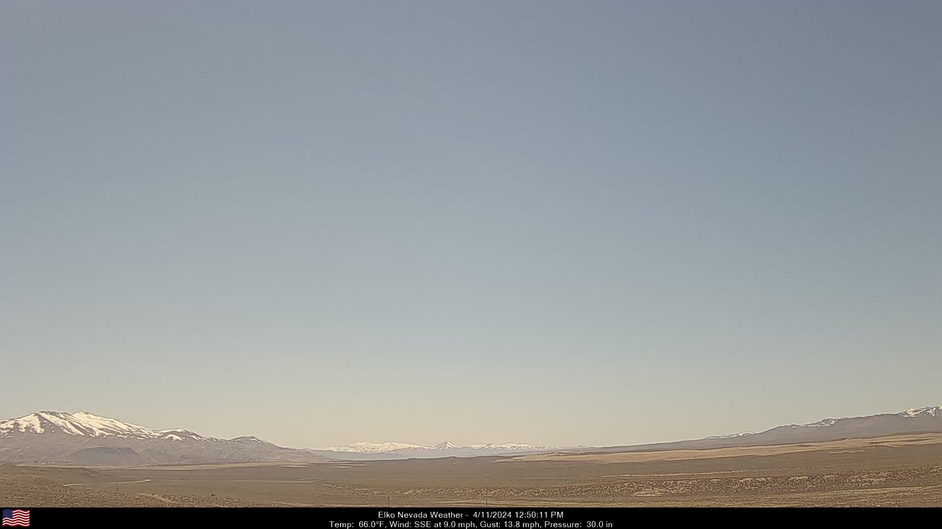
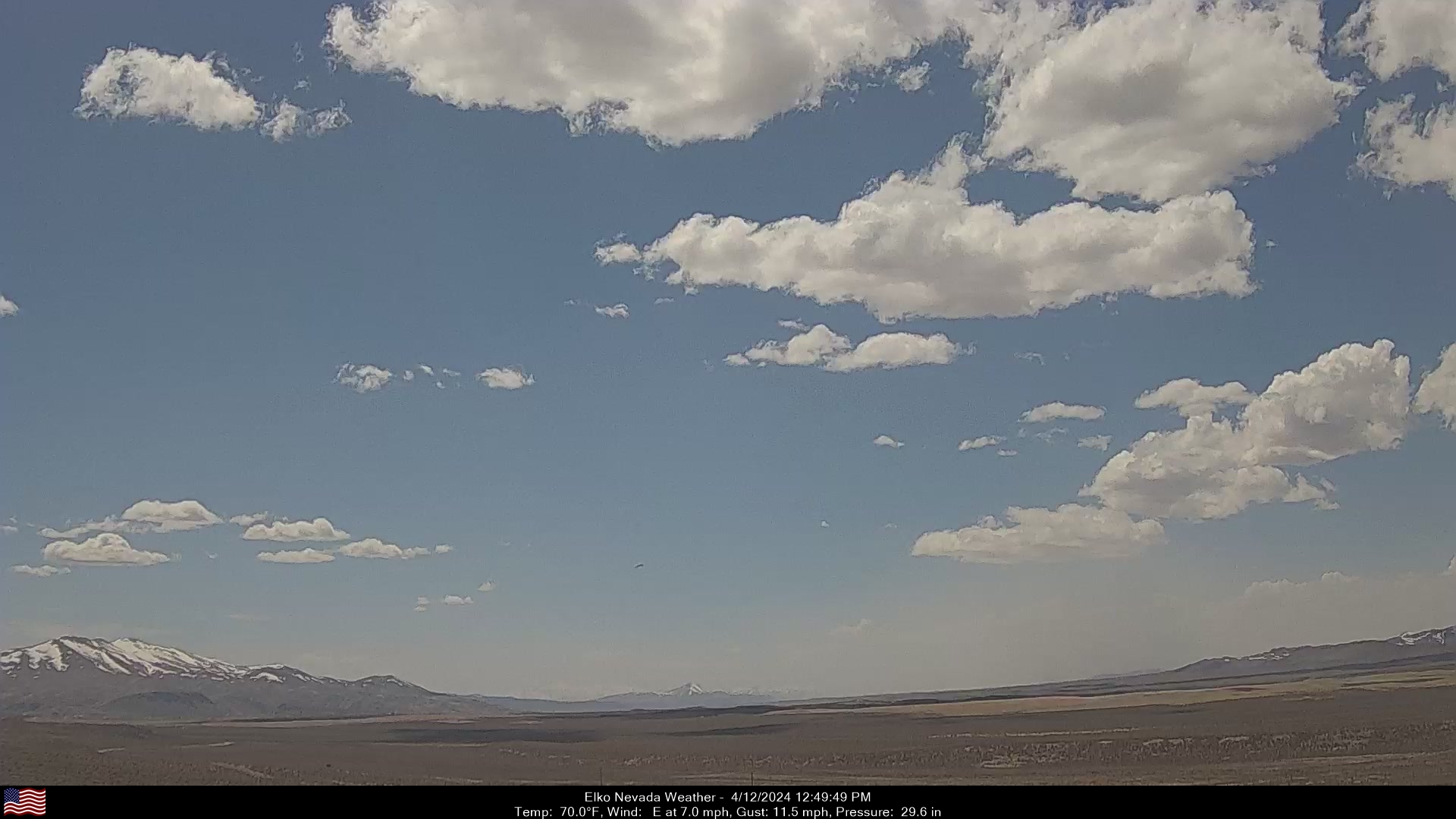
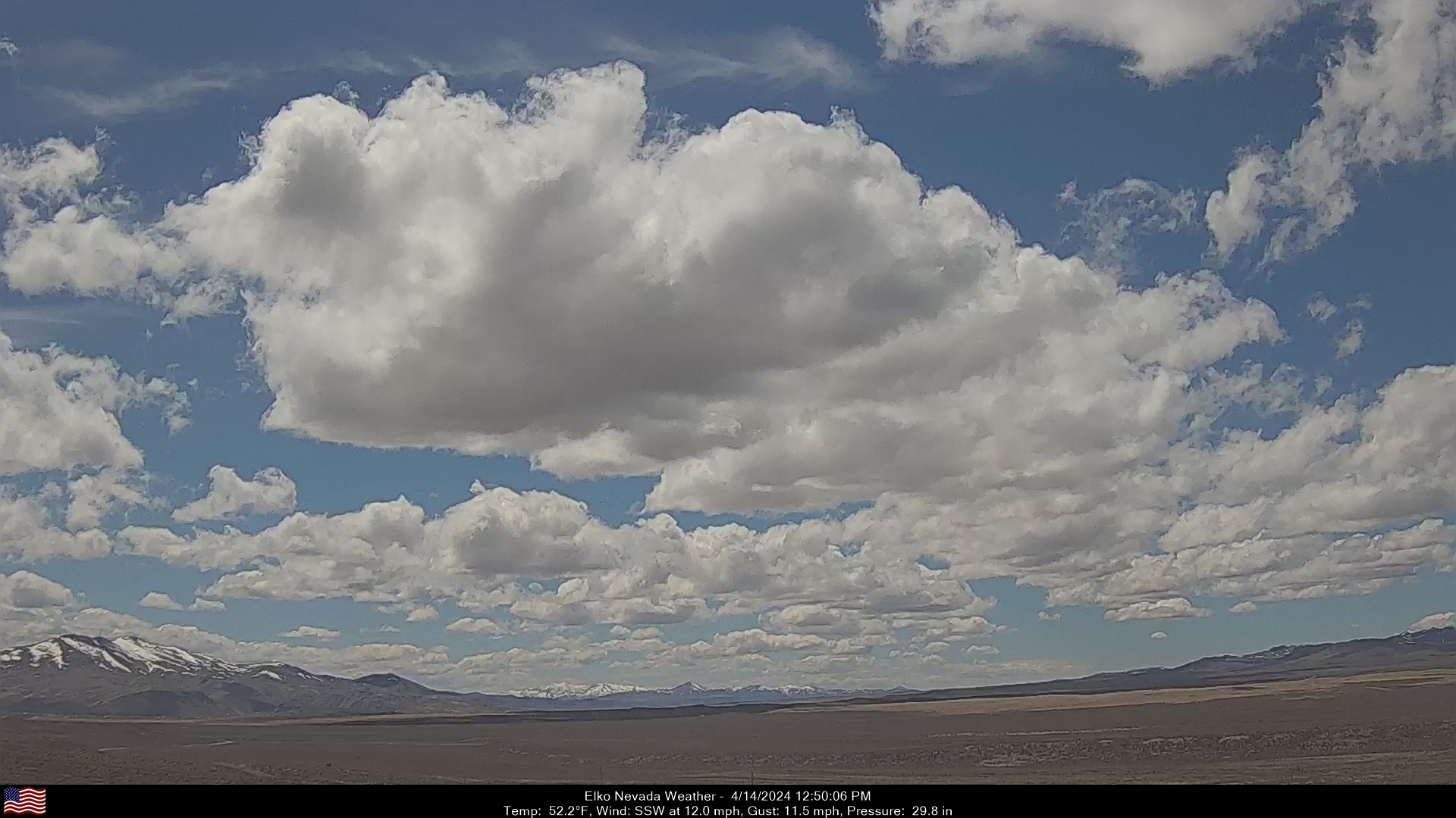
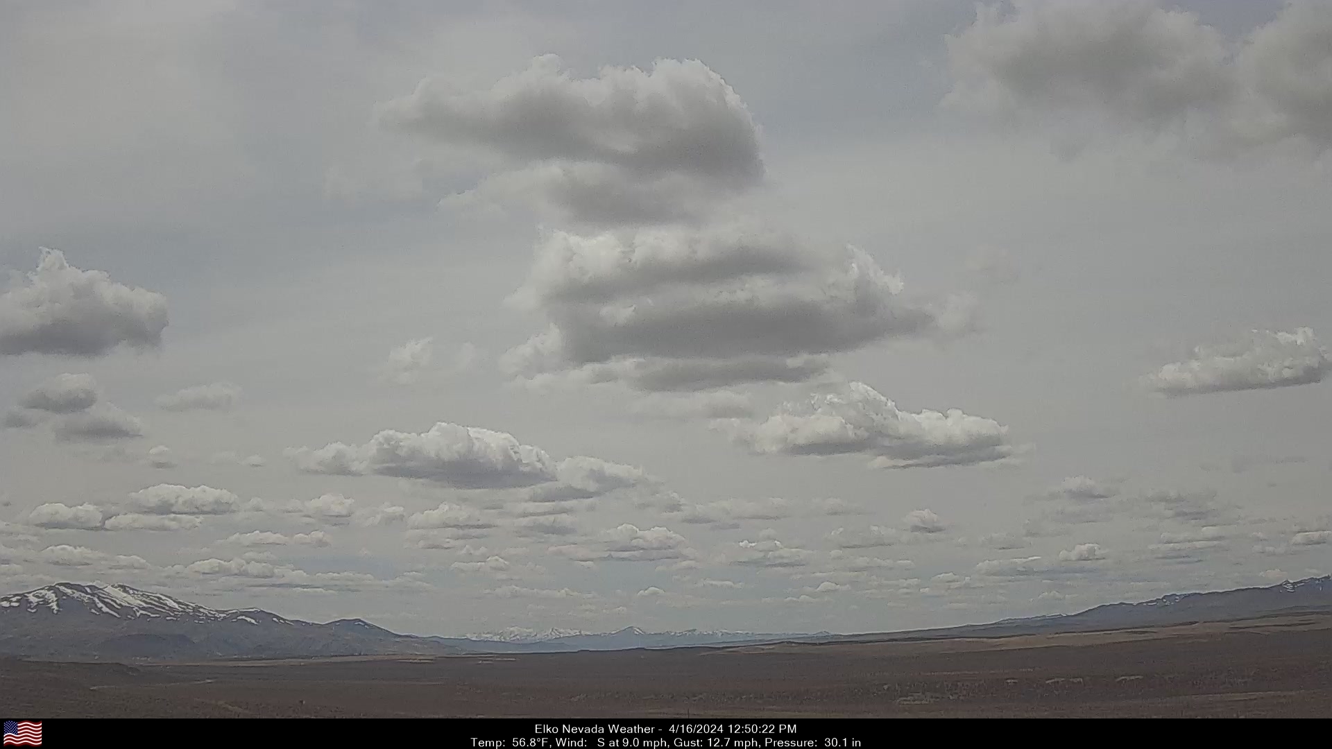
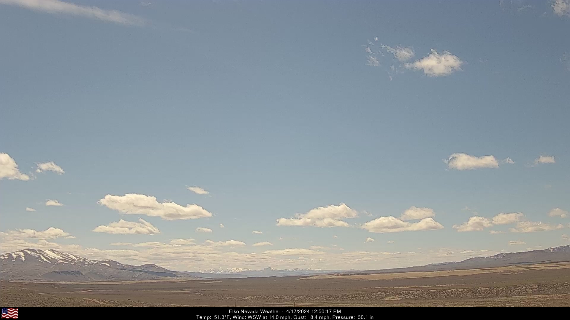
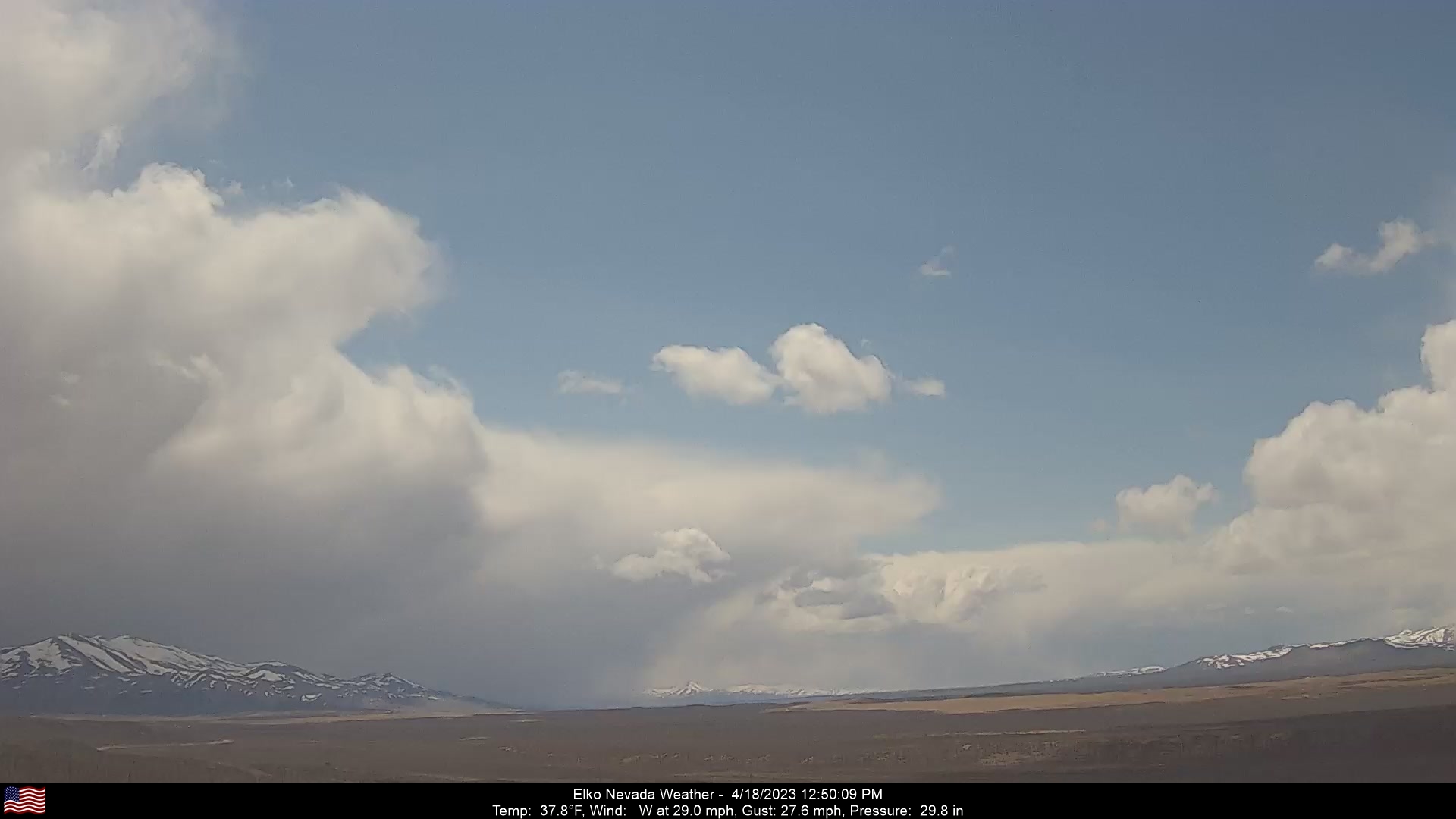
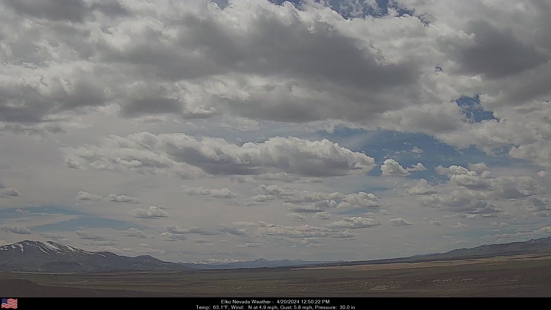
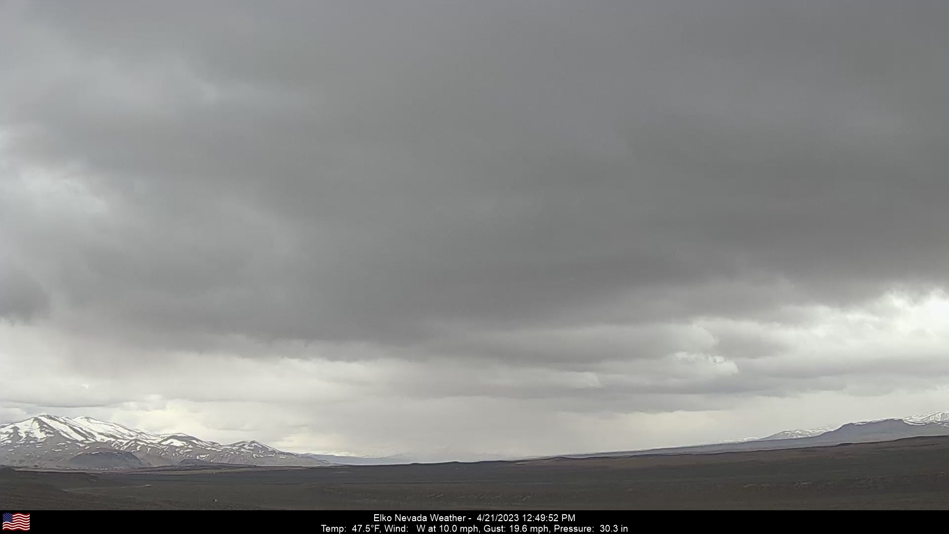
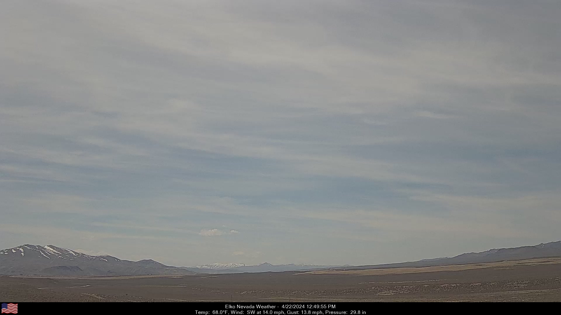
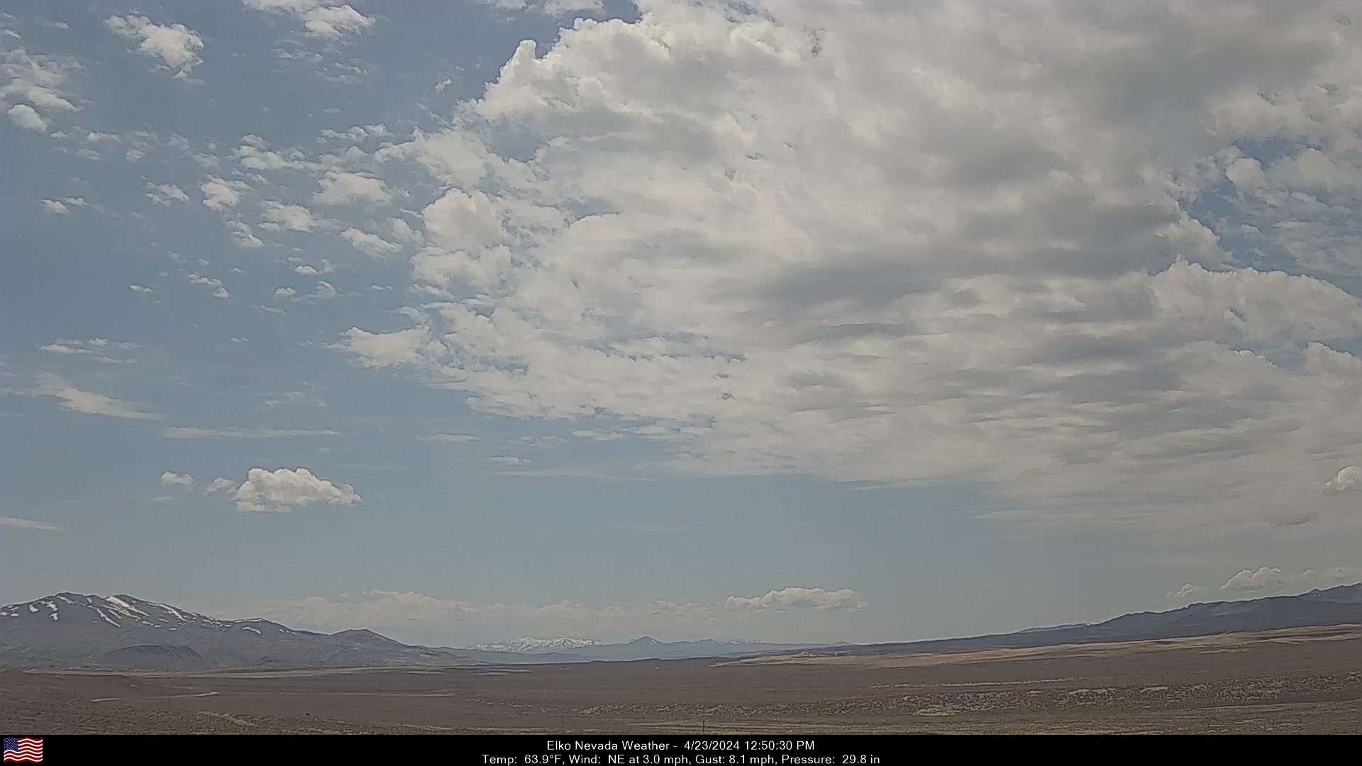
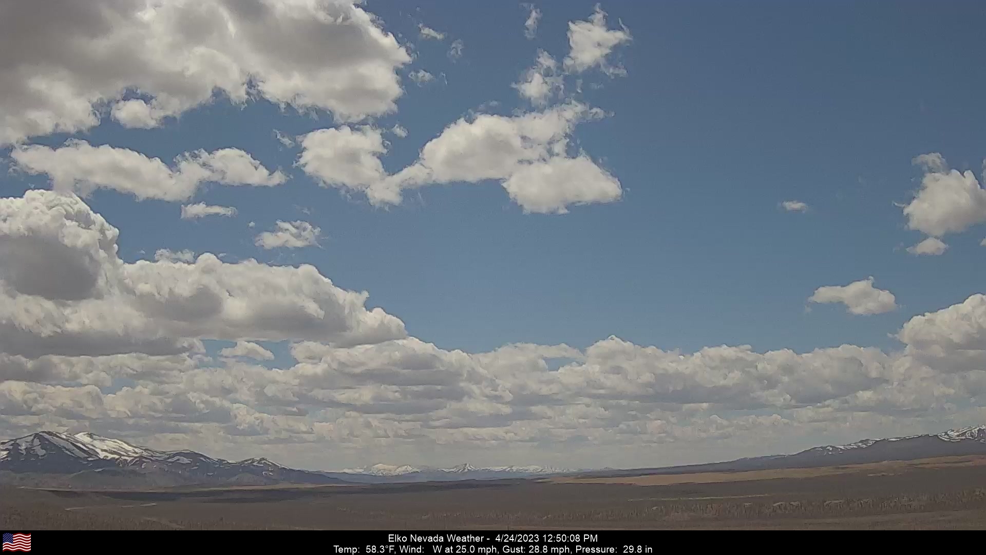
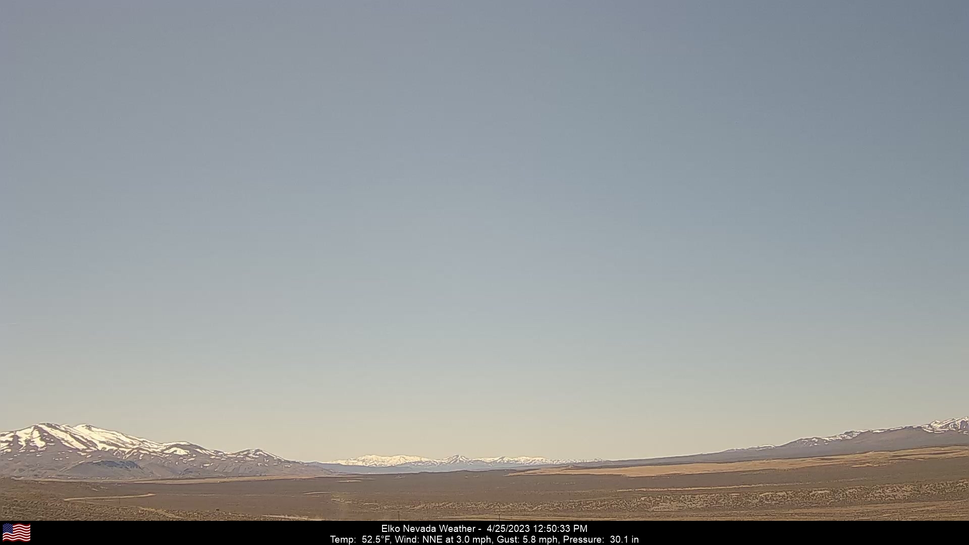
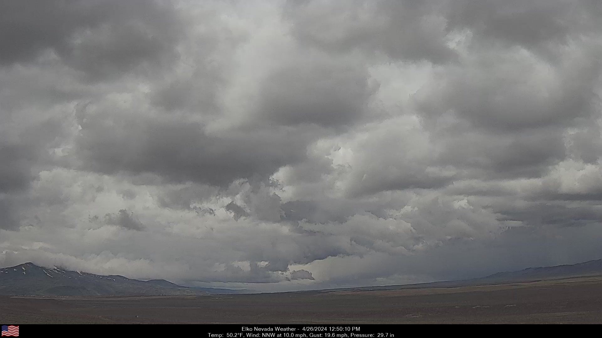
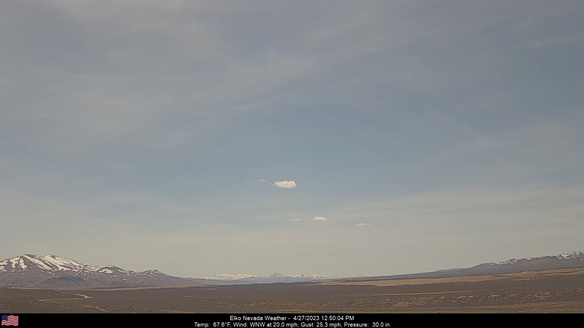
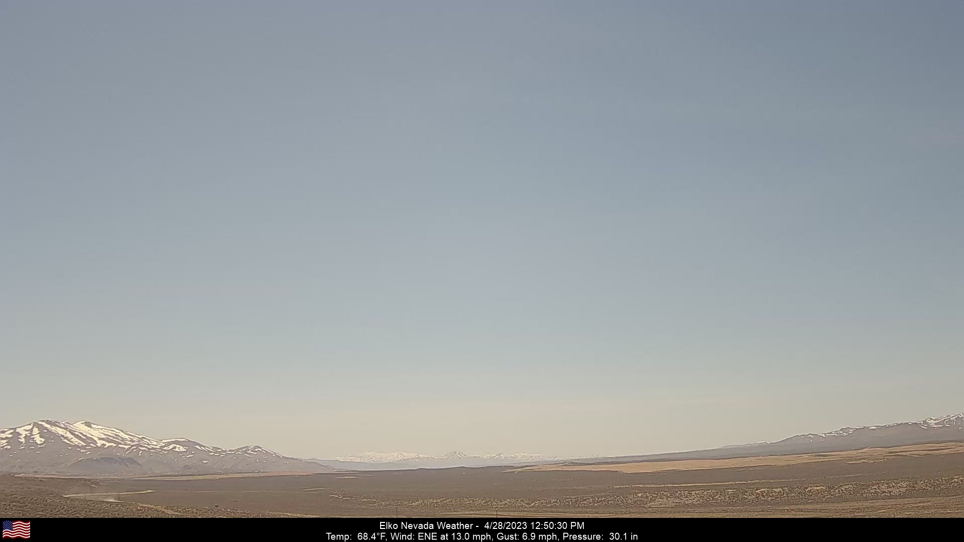
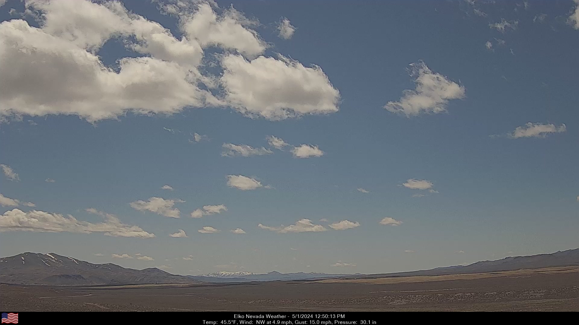
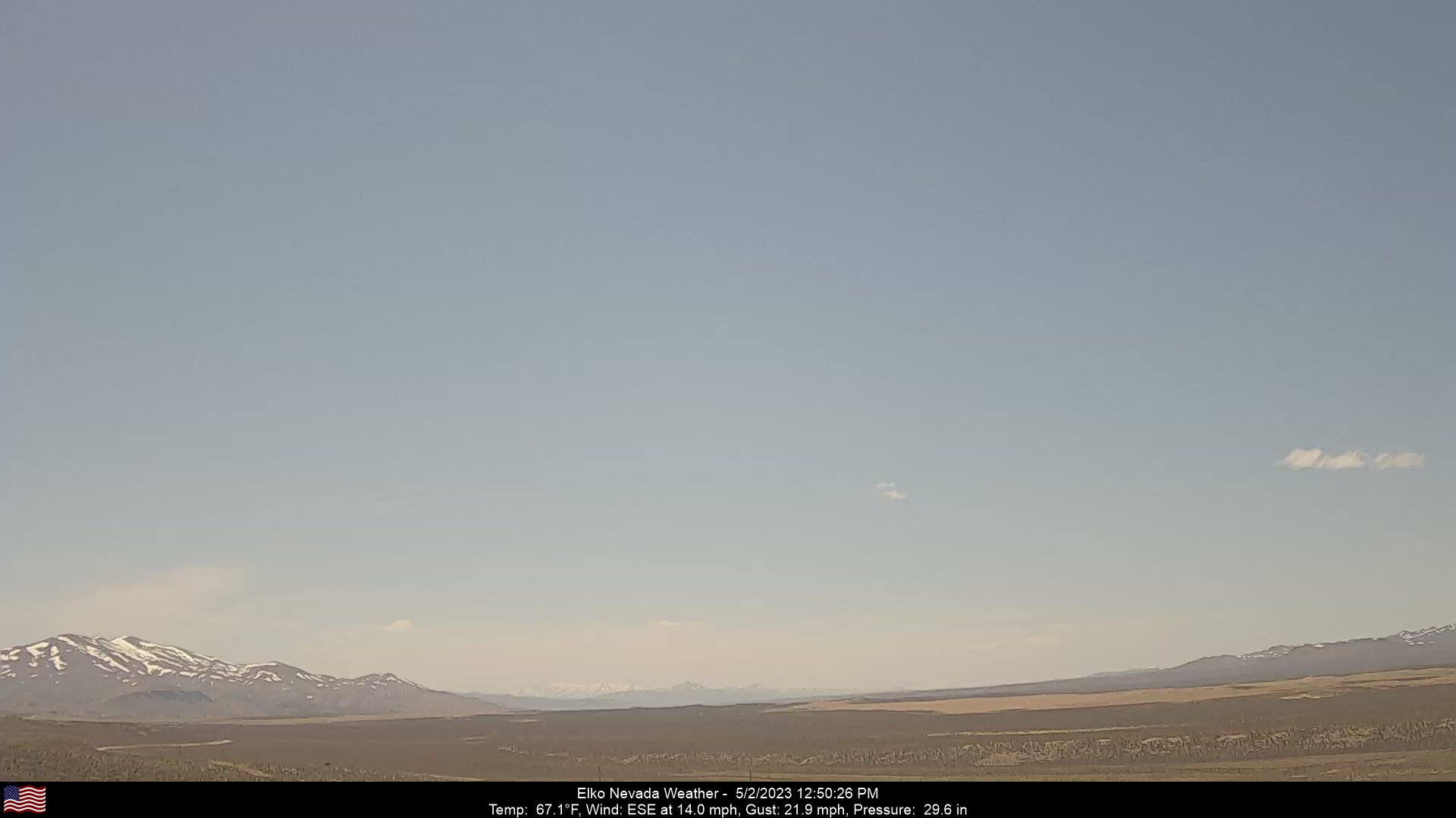
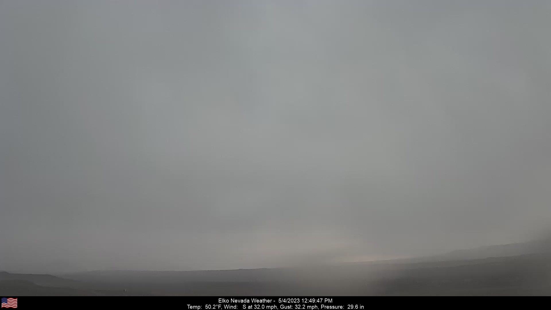
Elko, Nevada, USA - 216.4 miles from Fort Boise (historical): Elko Nevada Weather - A webcam in Elko, Nevada - Adobe Range, with current weather data.
Operator: Elko Nevada Weather & Store
Operator: Elko Nevada Weather & Store


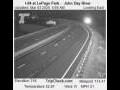
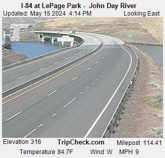
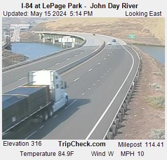
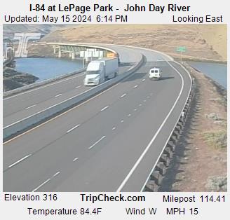
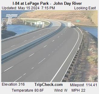
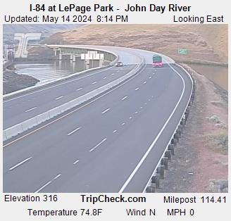
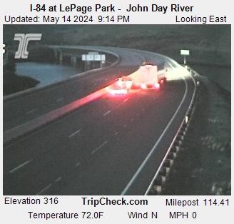
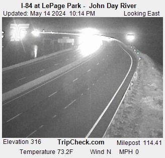
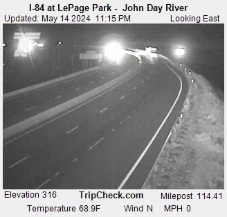
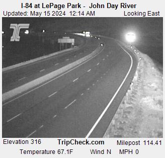
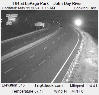
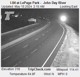
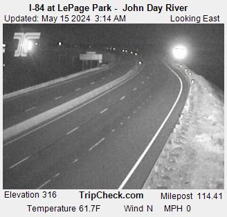
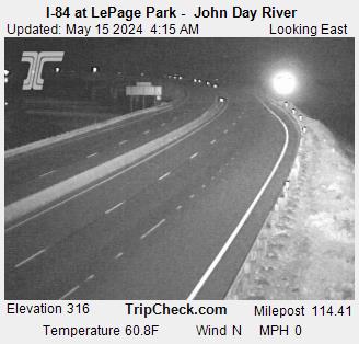
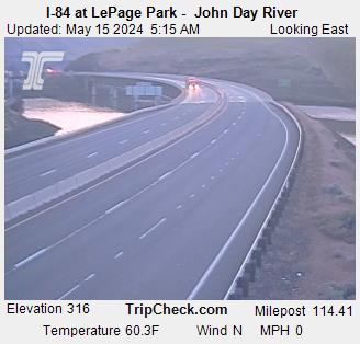
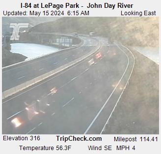
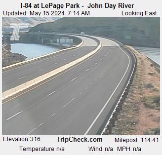
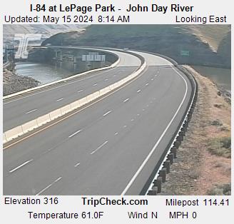
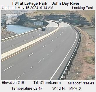
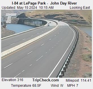
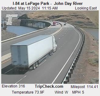
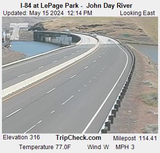
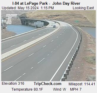
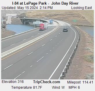
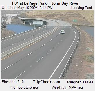
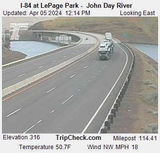
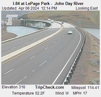
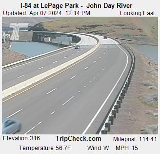
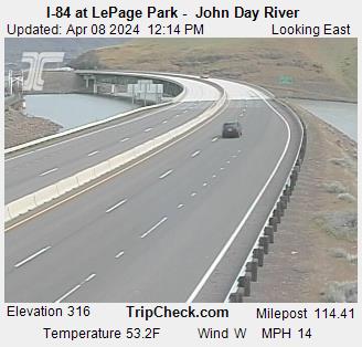
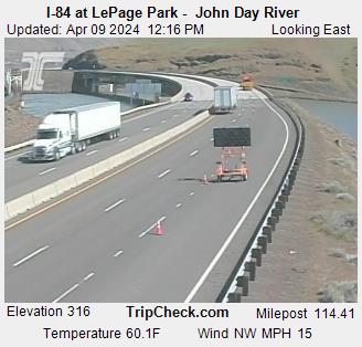
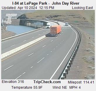
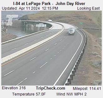
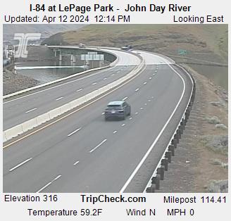
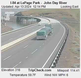
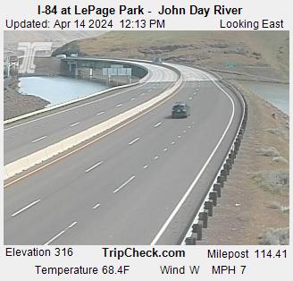
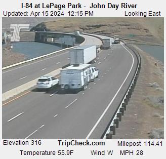
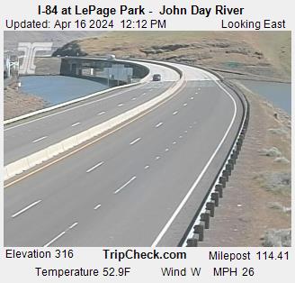
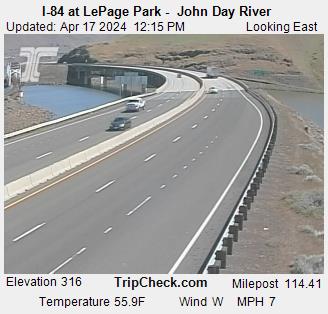
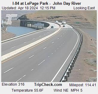
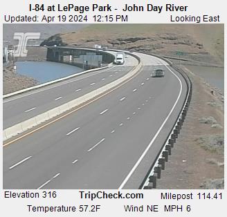
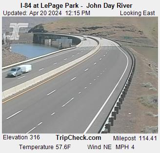
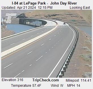
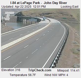
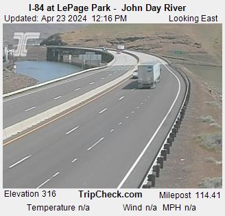
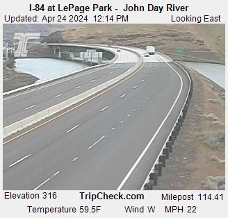
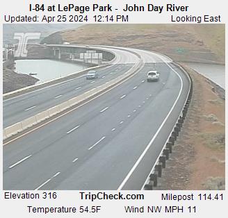
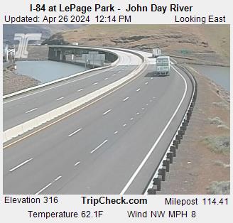
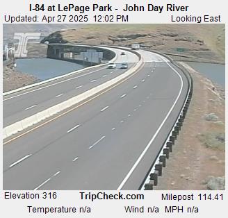
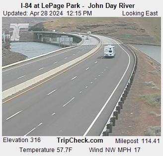
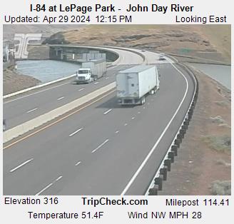
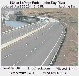
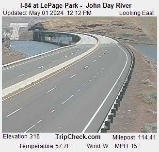
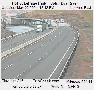
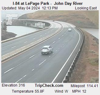
Wasco, Oregon, USA - 218.1 miles from Fort Boise (historical): I-84 at LePage Park - John Day River - A view of the current traffic situation on the I-84.
Operator: Oregon Department of Transportation
Operator: Oregon Department of Transportation

Some other places in this country: Denton - Dempsey (historical) - French (historical) - Freeze - Flat Rock - Fir Grove - Farnum - Beeman - Dale (historical) - Spink