Webcams in the region of Peacebourne, Australia
The List of Webcams near Peacebourne, Australia:

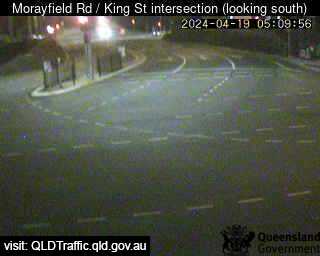
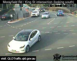
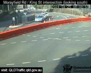
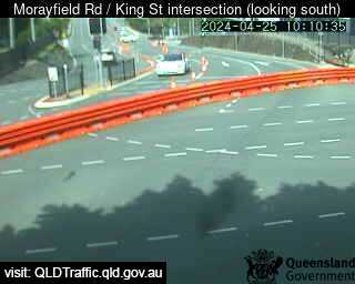
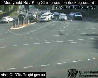
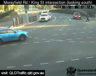
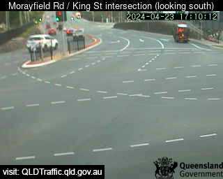
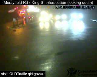
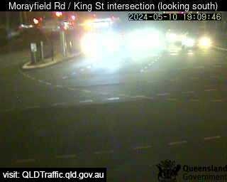
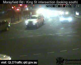
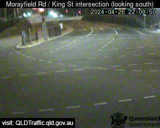
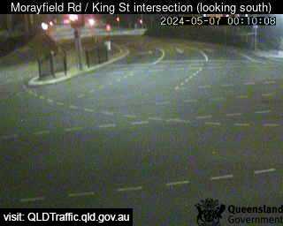
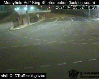
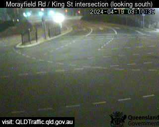
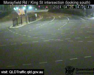
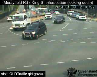
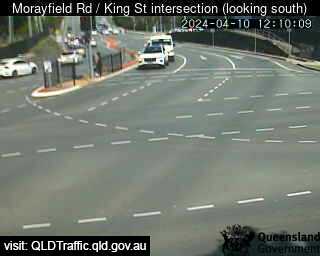
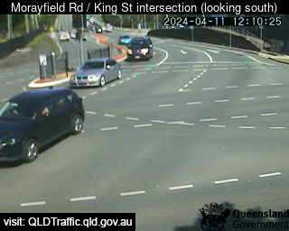
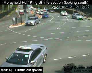
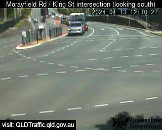
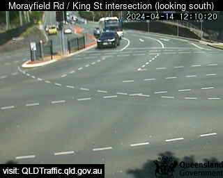
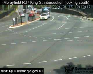
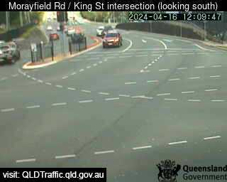
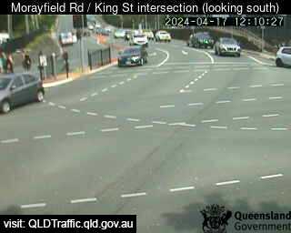
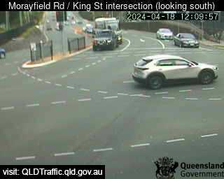
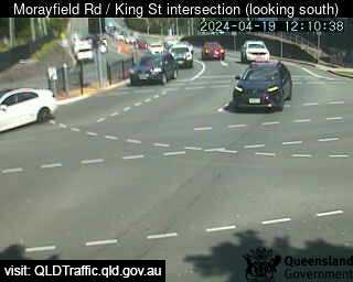
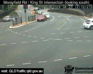
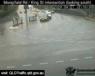
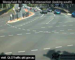
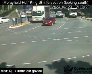
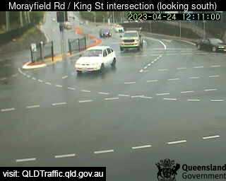
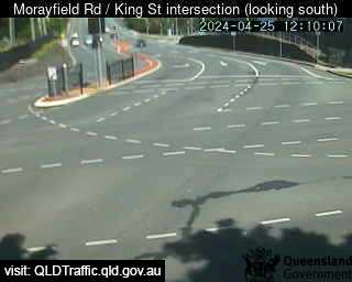
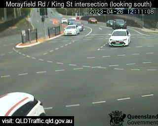
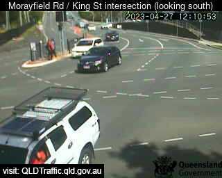
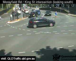
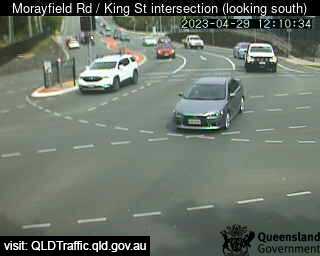
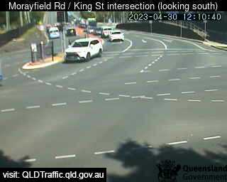
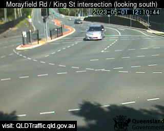
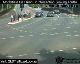
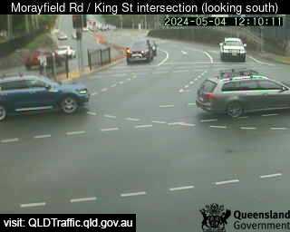
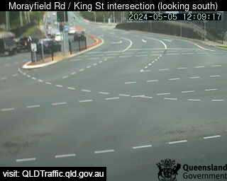
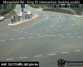
Caboolture, Australia - 16.3 miles from Peacebourne: Morayfield Road / King Street intersection (East) - A view of the current traffic conditions.
Operator: Queensland Government - Department of Transport and Main Roads
Operator: Queensland Government - Department of Transport and Main Roads


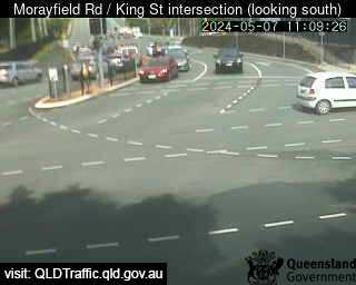
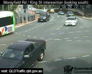
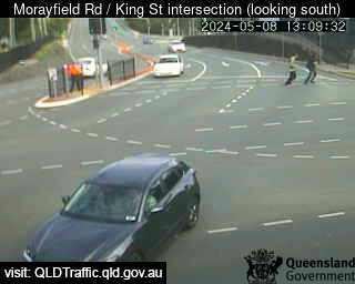
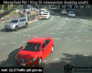


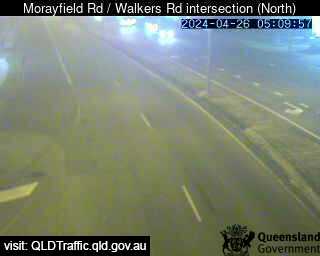
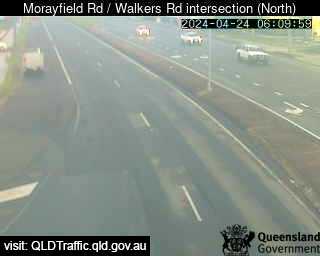
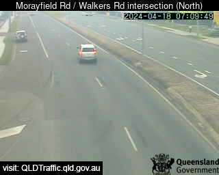
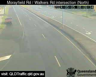
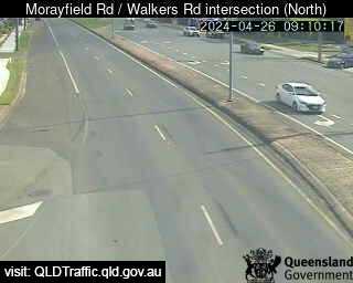
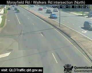
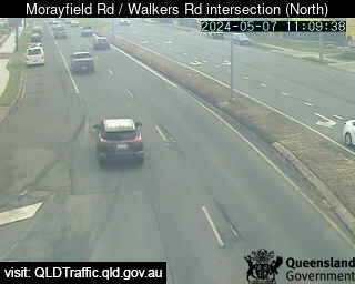
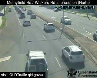
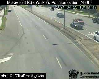
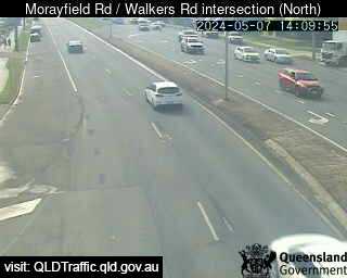
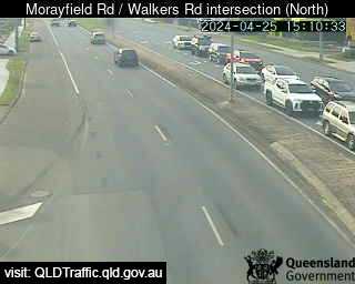
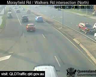
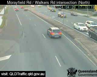
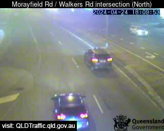
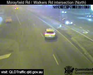
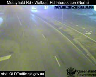
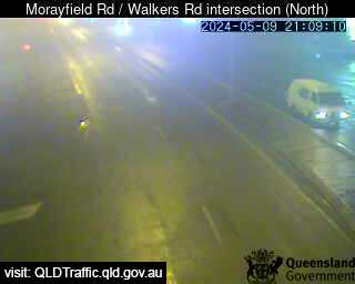
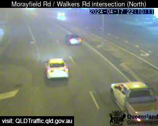
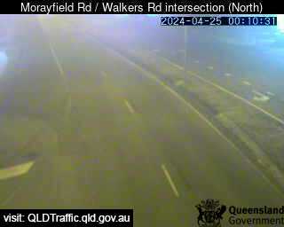
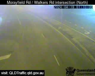
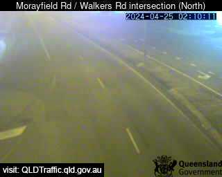
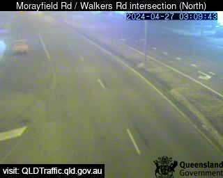
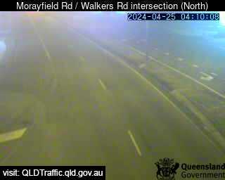
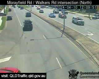
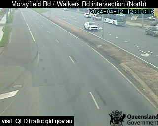
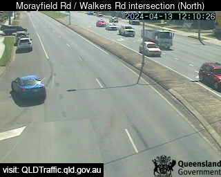
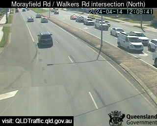
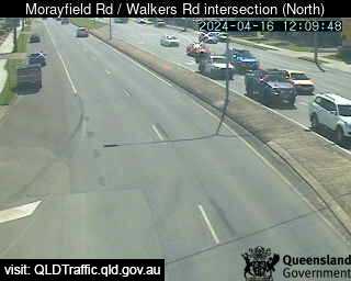
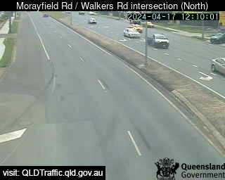
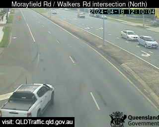
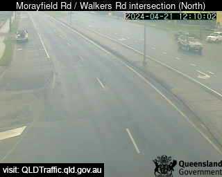
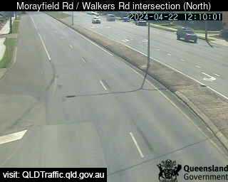
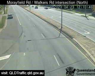
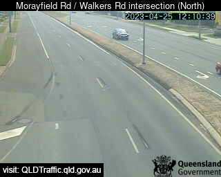
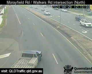
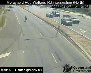
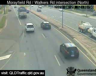
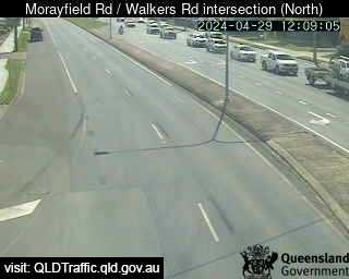
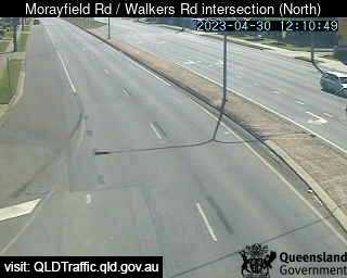
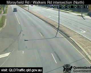
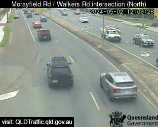
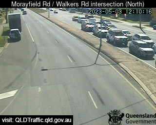
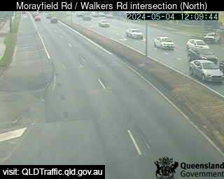
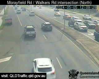
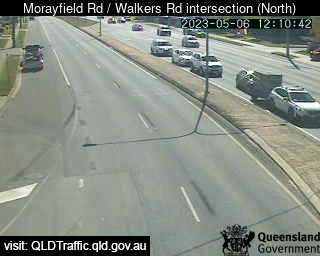
Morayfield, Australia - 17.7 miles from Peacebourne: Morayfield Road / Walkers Road intersection (South) - A view of the current traffic conditions.
Operator: Queensland Government - Department of Transport and Main Roads
Operator: Queensland Government - Department of Transport and Main Roads


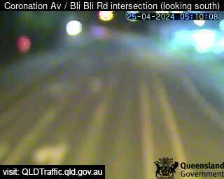
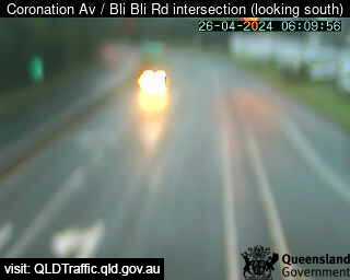
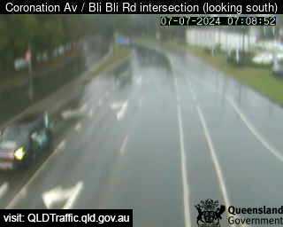
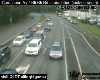
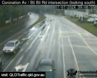
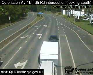
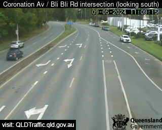
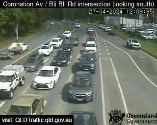
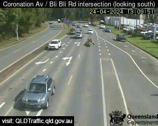
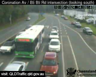
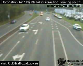
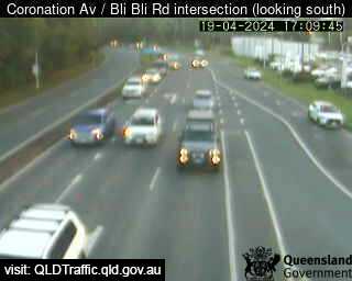
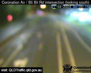
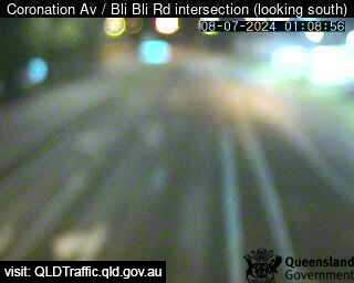
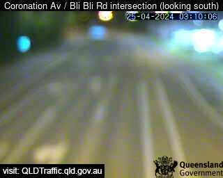
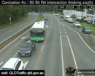
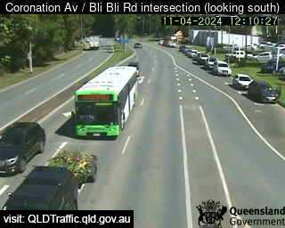
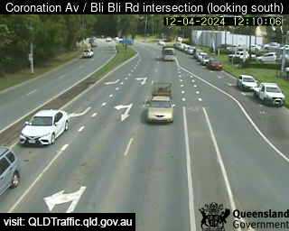
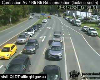
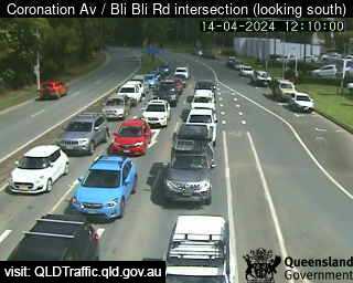
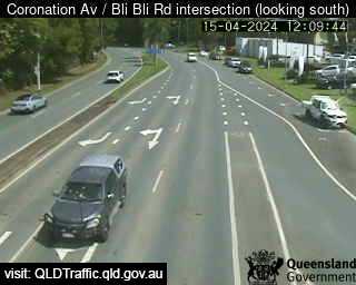
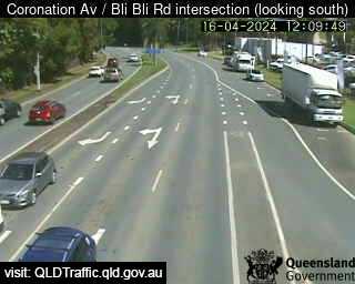
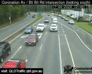
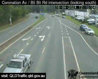
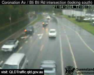
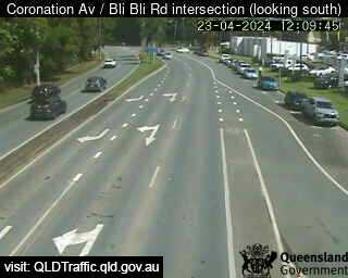
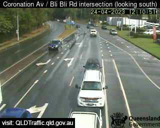
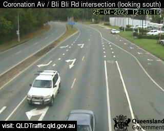
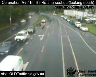
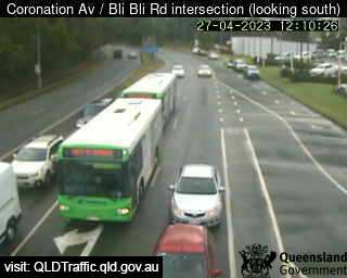
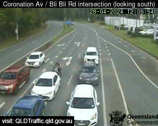
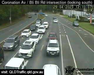
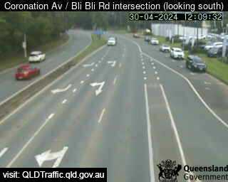
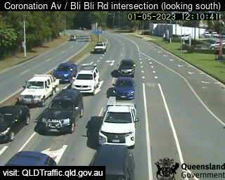
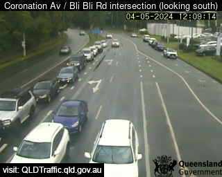
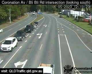
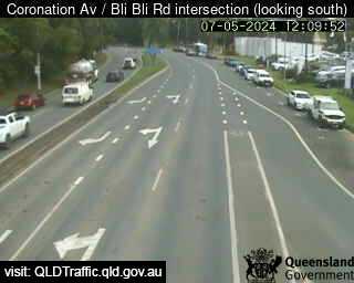
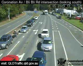
Nambour, Australia - 21.8 miles from Peacebourne: Coronation Avenue / Bli Bli Road intersection (South) - A view of the current traffic conditions.
Operator: Queensland Government - Department of Transport and Main Roads
Operator: Queensland Government - Department of Transport and Main Roads


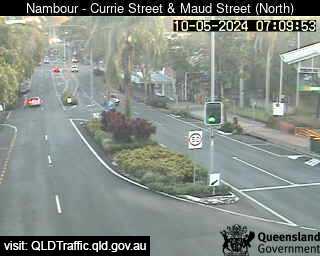
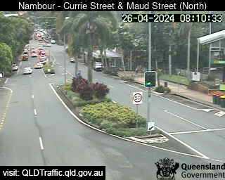
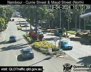
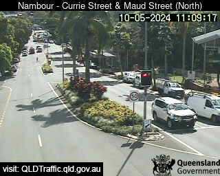
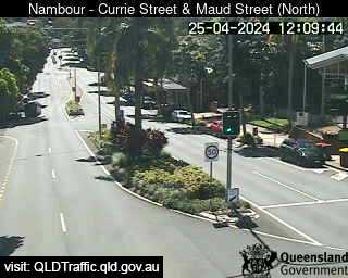
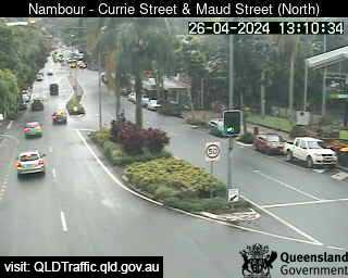
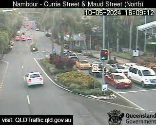
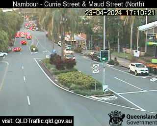
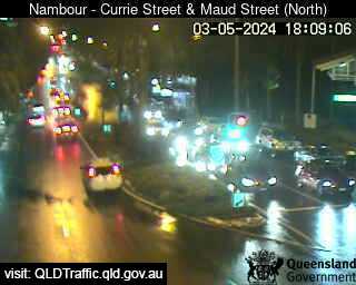
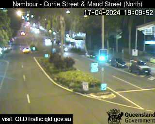
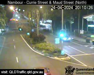
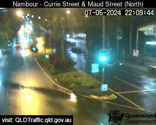
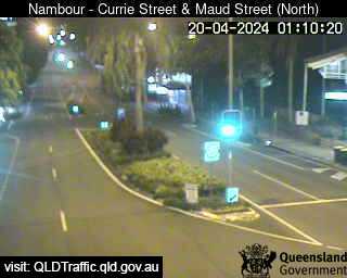
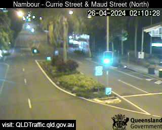
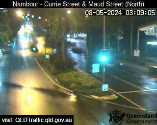
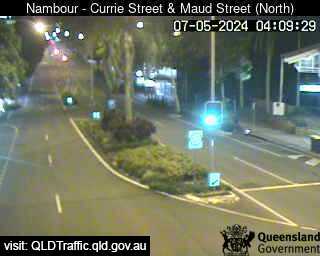
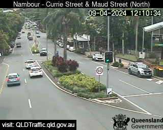
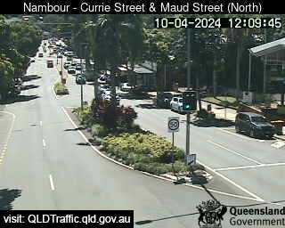
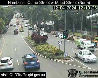
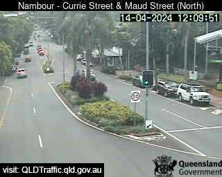
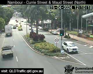
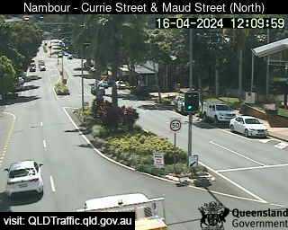
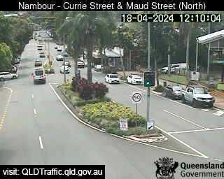
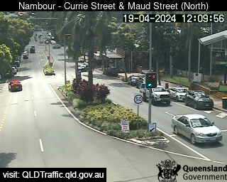
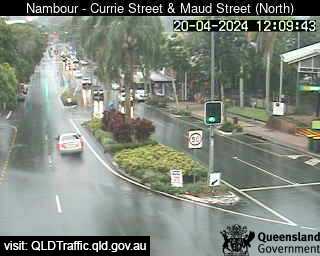
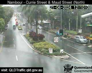
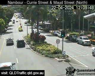
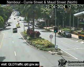
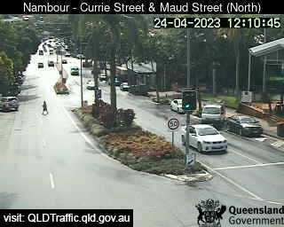
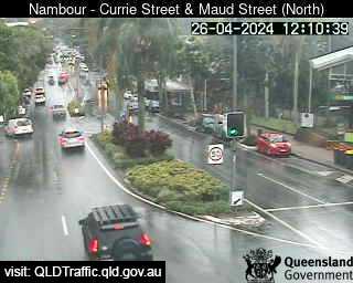
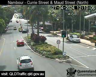
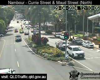
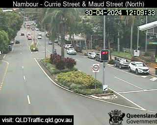
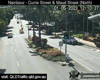
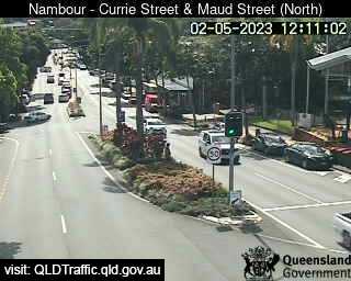
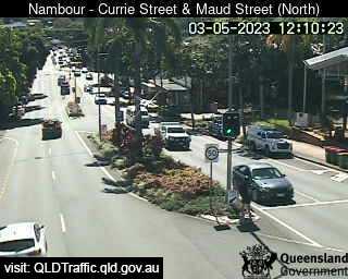
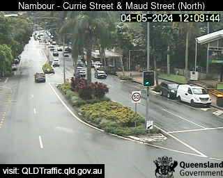
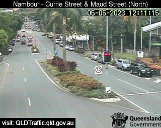
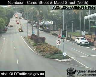
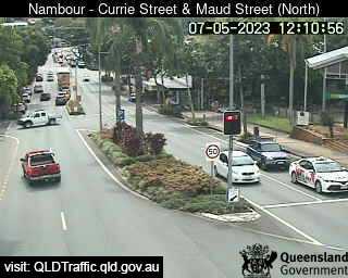
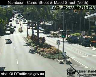
Nambour, Australia - 21.8 miles from Peacebourne: Currie Street and Maud Street (looking north) - A view of the current traffic conditions.
Operator: Queensland Government - Department of Transport and Main Roads
Operator: Queensland Government - Department of Transport and Main Roads


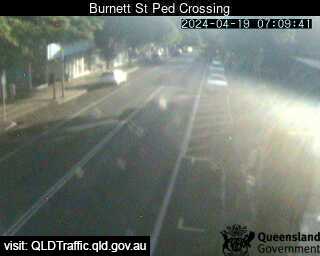
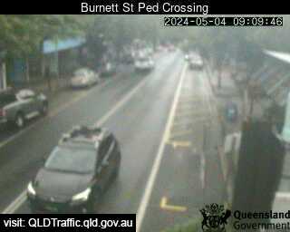
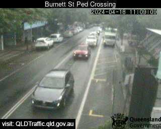
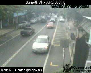
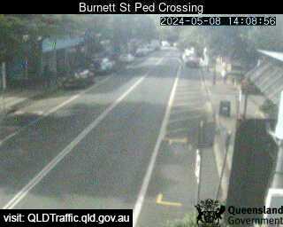
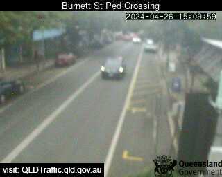
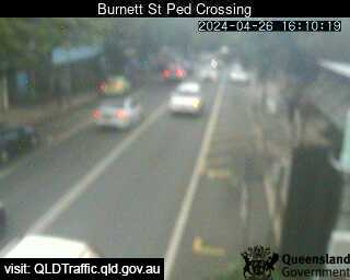
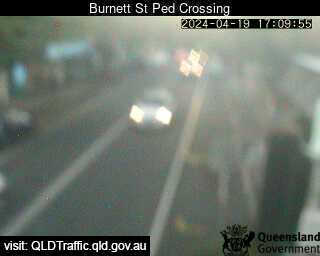
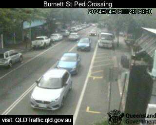
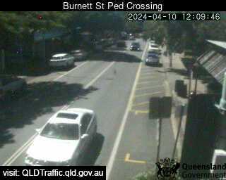
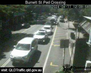
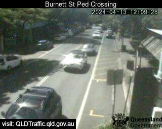
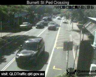
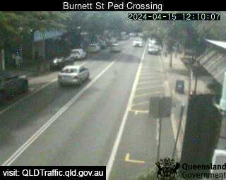
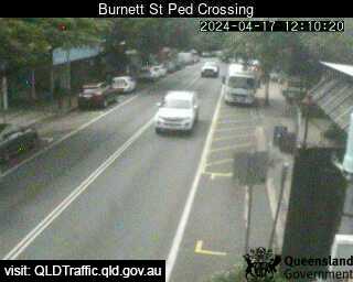
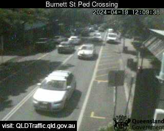
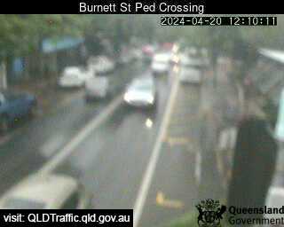
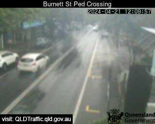
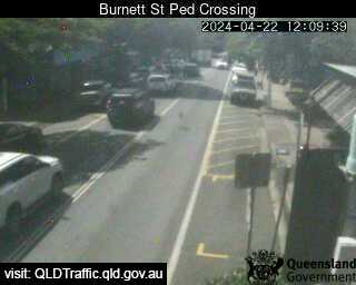
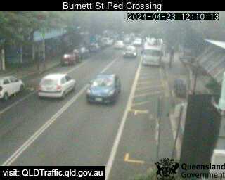
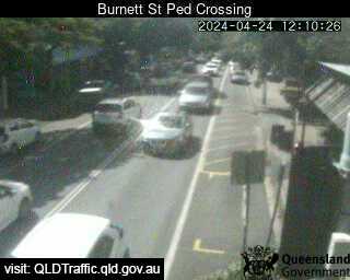
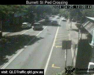
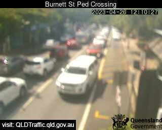
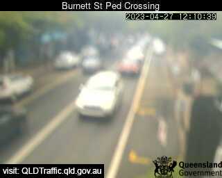
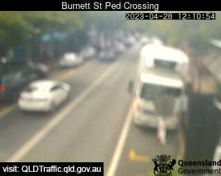
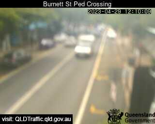
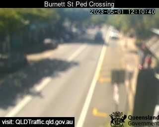
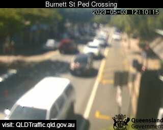
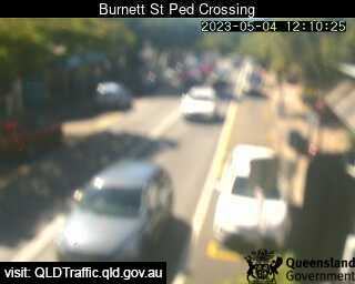
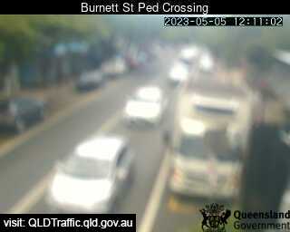
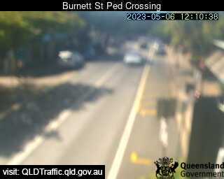
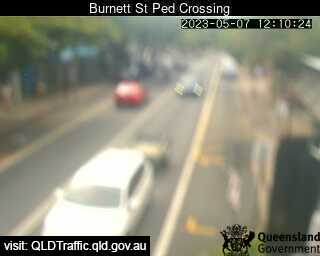
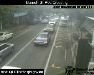
Buderim, Australia - 22.3 miles from Peacebourne: Burnett Street Pedestrian Crossing (West) - A view of the current traffic conditions.
Operator: Queensland Government - Department of Transport and Main Roads
Operator: Queensland Government - Department of Transport and Main Roads


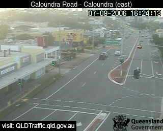
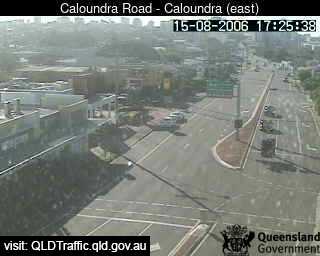
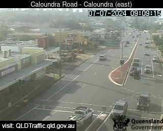
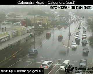
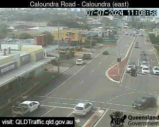
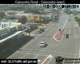
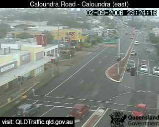
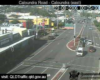
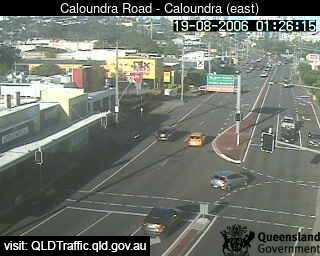
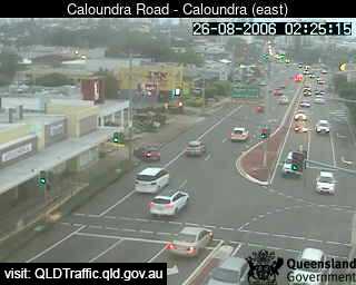
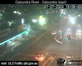
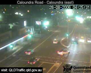
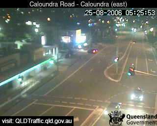
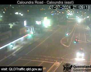
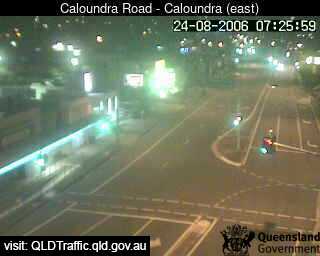
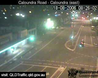
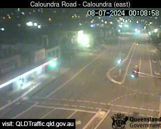
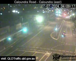
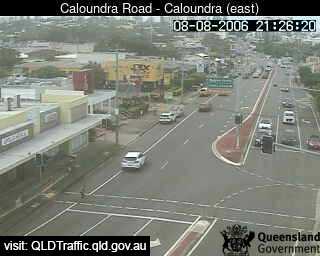
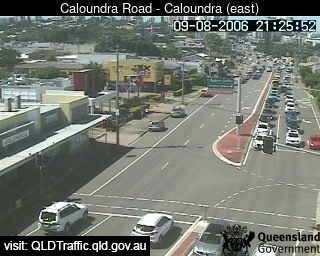
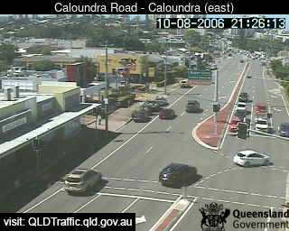
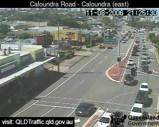
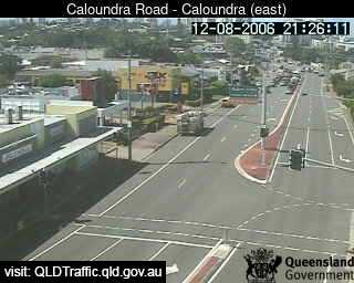
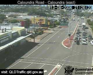
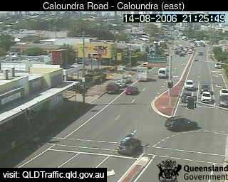
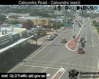
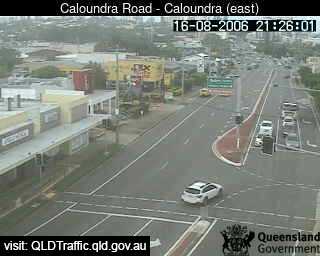
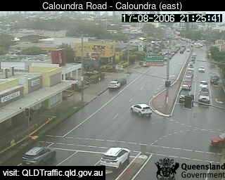
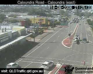
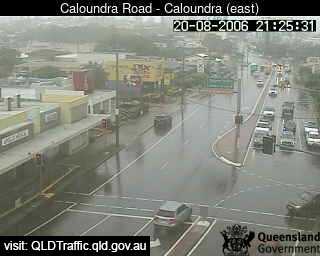
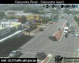
Caloundra, Australia - 22.5 miles from Peacebourne: Forth Avenue intersection (looking East) - A view of the current traffic conditions.
Operator: Queensland Government - Department of Transport and Main Roads
Operator: Queensland Government - Department of Transport and Main Roads


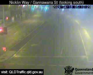
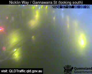
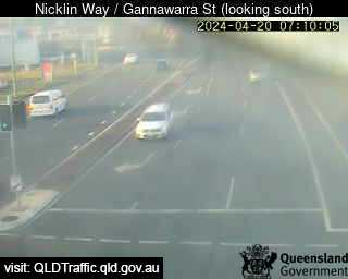
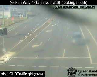
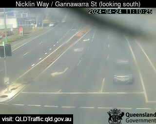
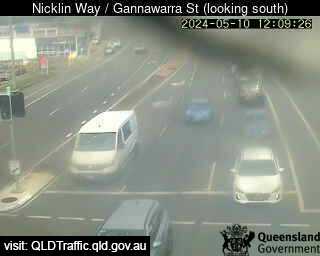
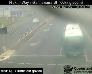
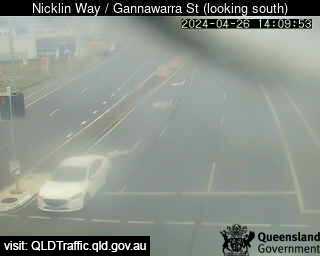
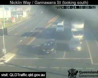
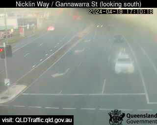
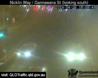
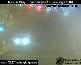
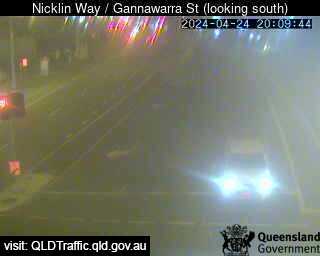
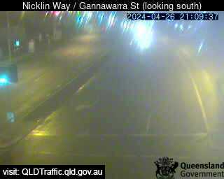
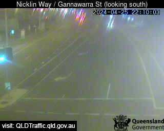
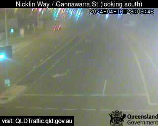
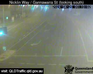
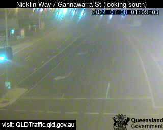
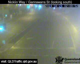
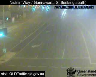
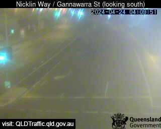
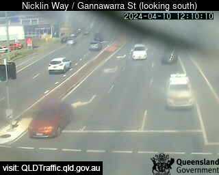
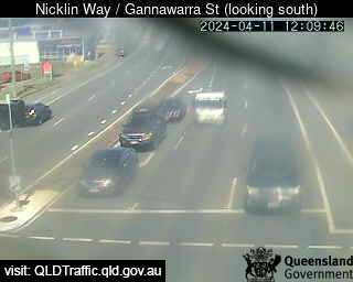
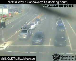
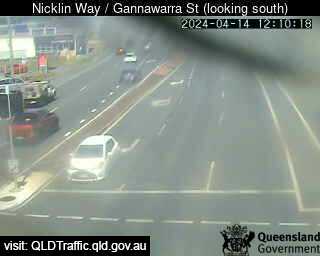
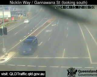
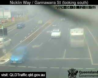
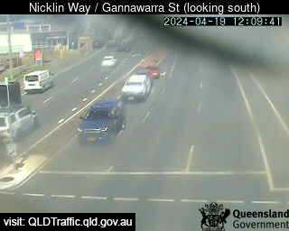
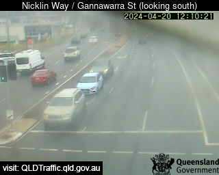
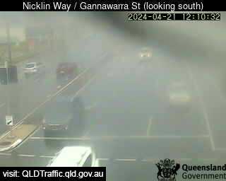
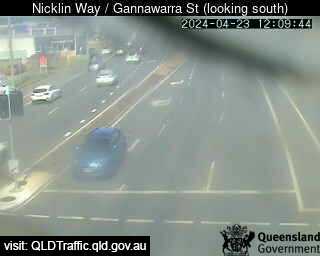
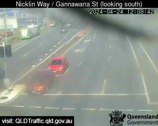
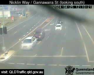
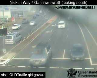
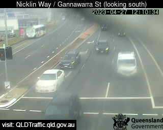
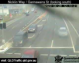
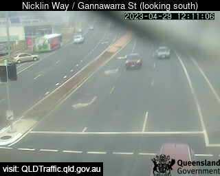
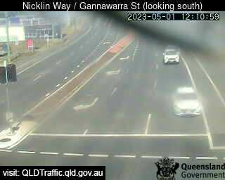
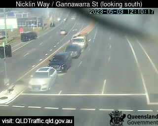
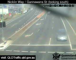
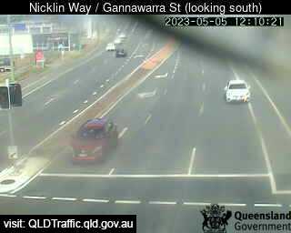
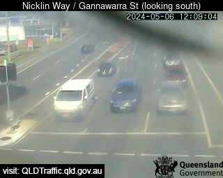
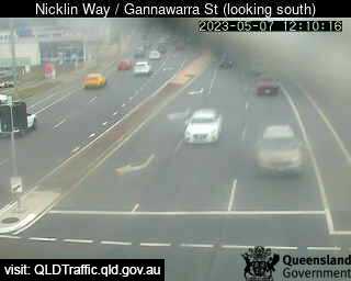
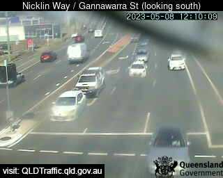
Currimundi, Australia - 22.8 miles from Peacebourne: Nicklin Way / Gannawarra Street (looking south) ( South) - A view of the current traffic conditions.
Operator: Queensland Government - Department of Transport and Main Roads
Operator: Queensland Government - Department of Transport and Main Roads


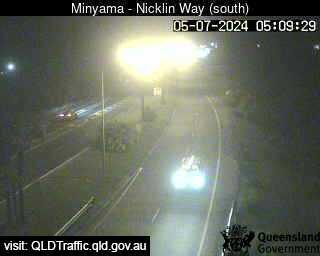
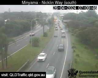
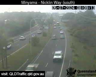
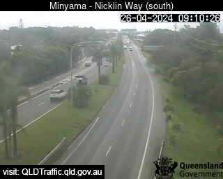
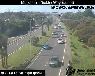
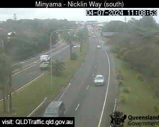
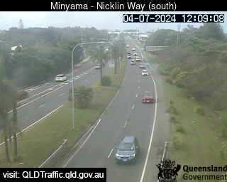
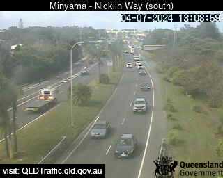
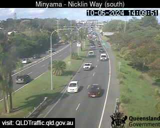
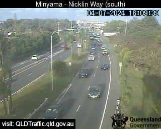
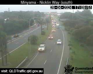
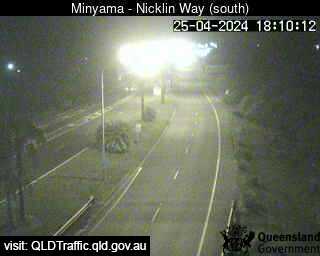
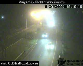
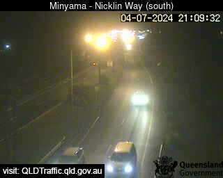
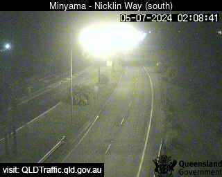
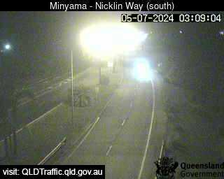
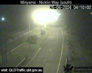
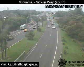
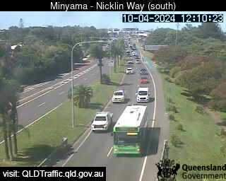
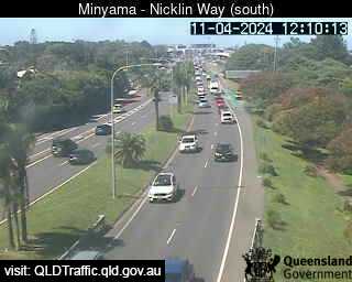
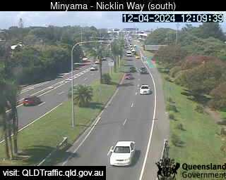
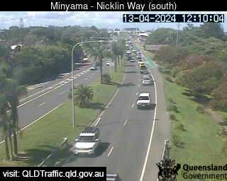
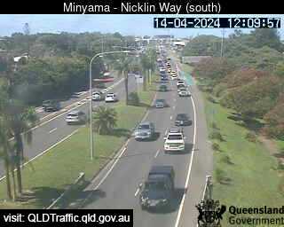
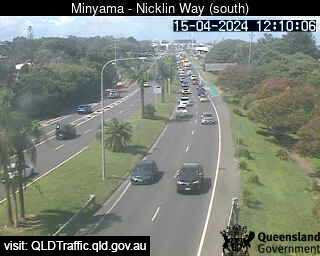
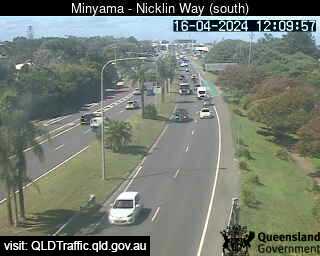
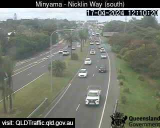
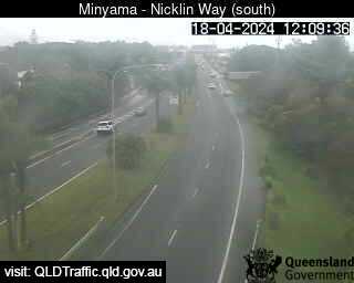
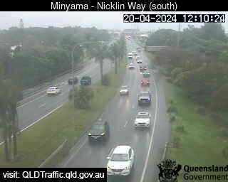
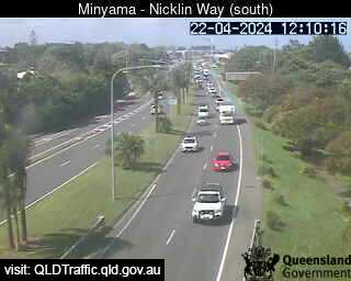
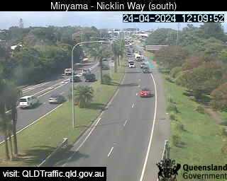
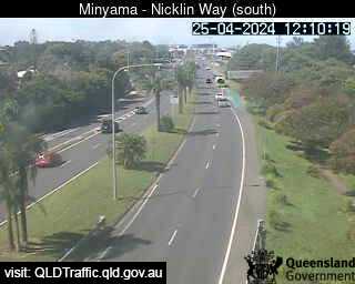
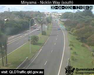
Minyama, Australia - 25.1 miles from Peacebourne: Nicklin Way, looking south towards Jessica Boulevard - A view of the current traffic conditions.
Operator: Queensland Government - Department of Transport and Main Roads
Operator: Queensland Government - Department of Transport and Main Roads


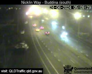
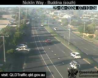
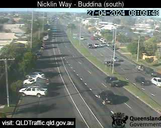
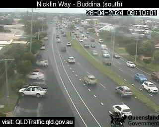
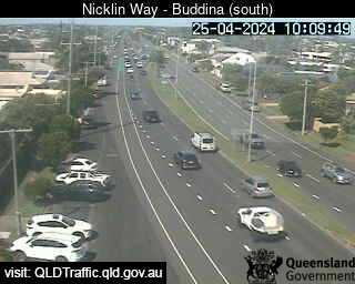
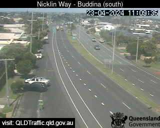
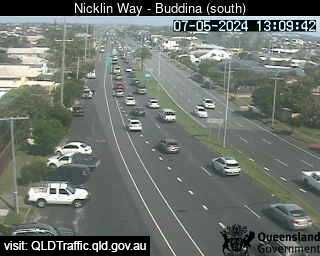
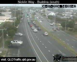
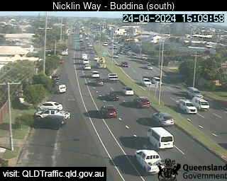
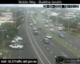
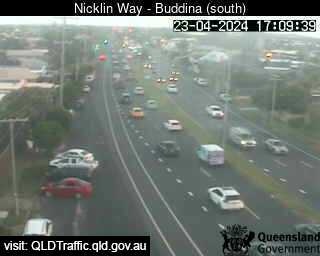
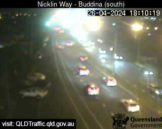
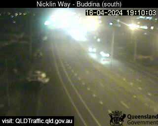
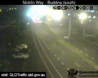
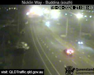
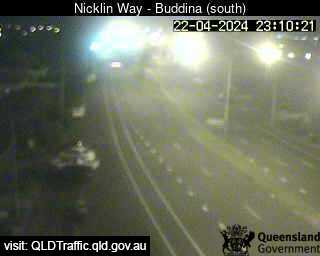
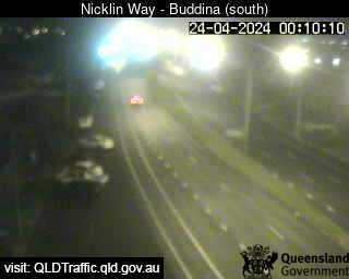
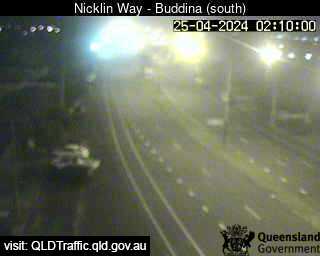
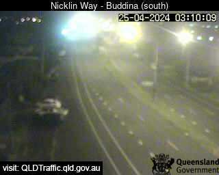
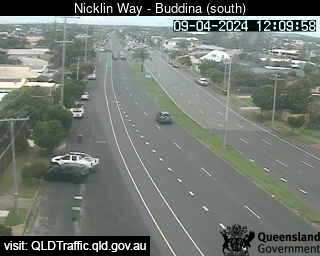
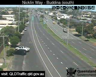
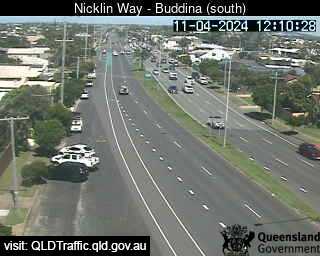
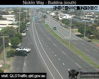
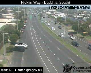
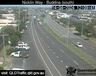
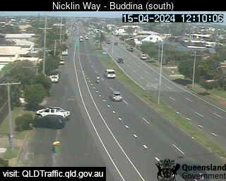
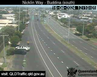
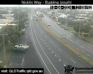
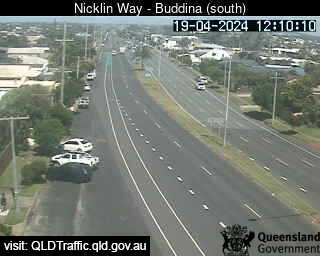
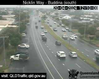
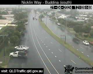
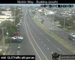
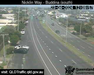
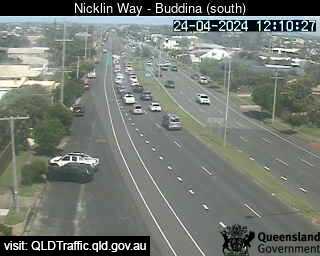
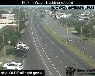
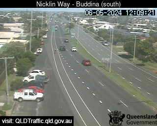
Buddina, Australia - 25.3 miles from Peacebourne: Nicklin Way, Lutana Street intersection (looking north) - A view of the current traffic conditions.
Operator: Queensland Government - Department of Transport and Main Roads
Operator: Queensland Government - Department of Transport and Main Roads


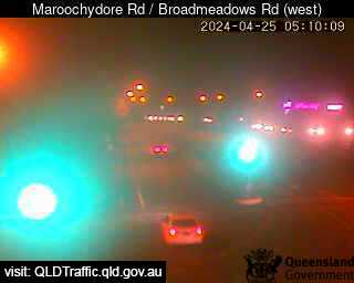
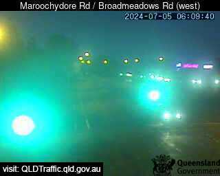
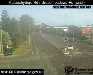
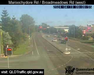
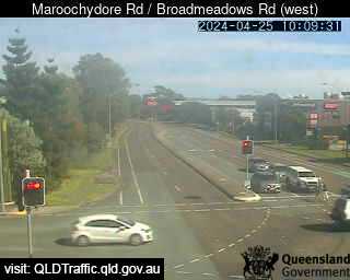
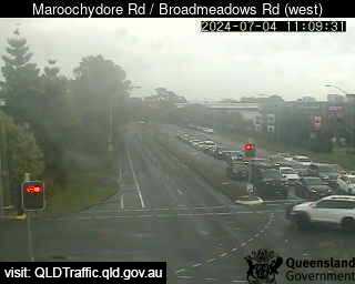
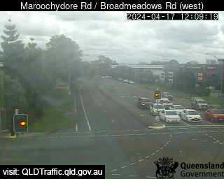
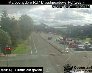
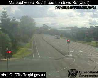
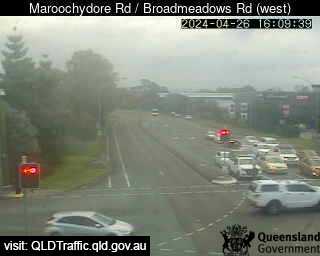
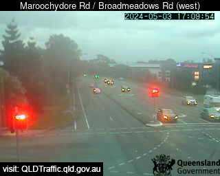
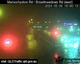
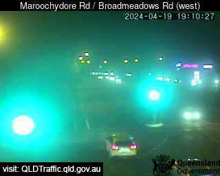
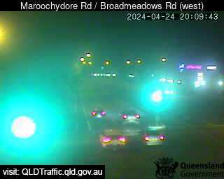
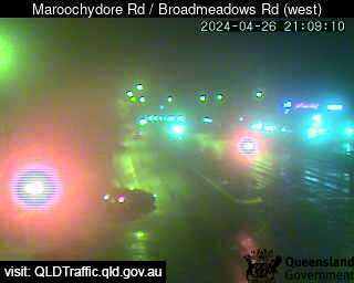
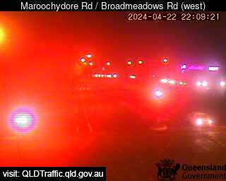
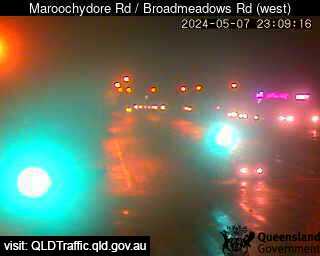
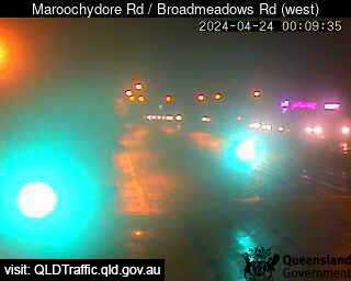
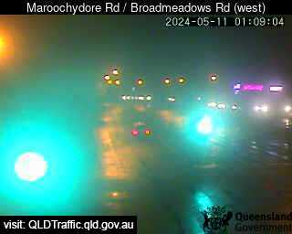
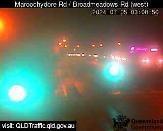
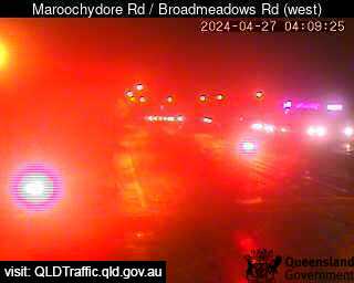
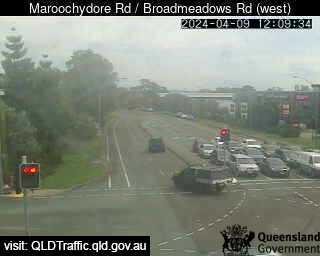
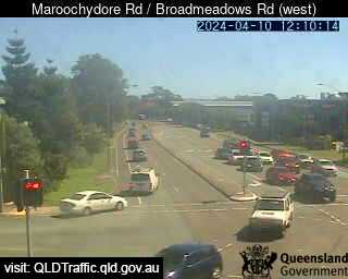
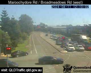
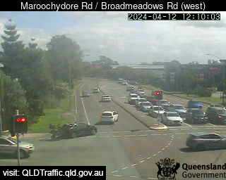
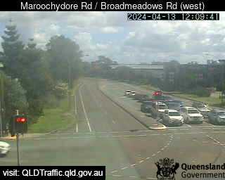
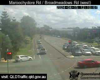
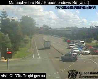
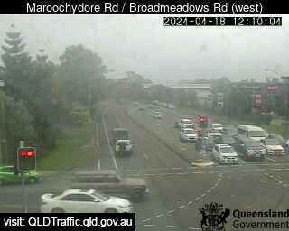
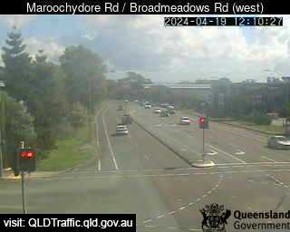
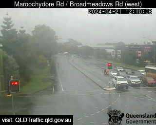
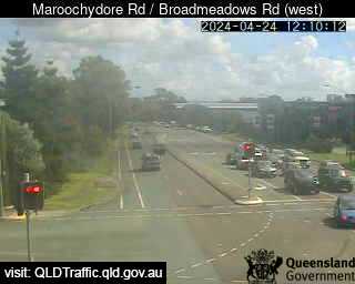
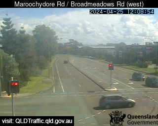
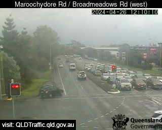
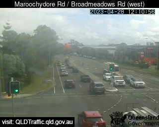
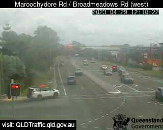
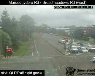
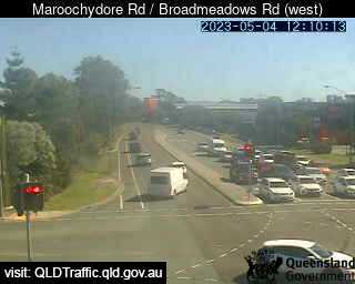
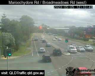
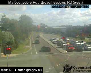
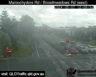
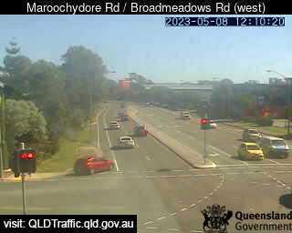
Maroochydore, Australia - 25.5 miles from Peacebourne: Maroochydore Road / Broadmeadows Road (West) - A view of the current traffic conditions.
Operator: Queensland Government - Department of Transport and Main Roads
Operator: Queensland Government - Department of Transport and Main Roads


Some other places in this country: Pawtella - Paxton - Peachester - Peacock Siding - Peak Crossing - Peak Hill - Peakhurst - Peakview - Pearce - Pearcedale