Webcams in the region of Kobble, Australia
The List of Webcams near Kobble, Australia:

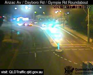
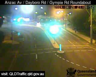
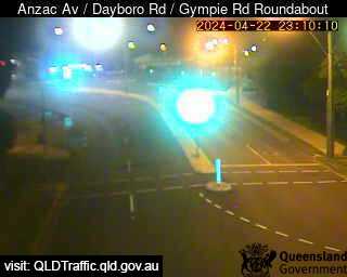
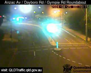
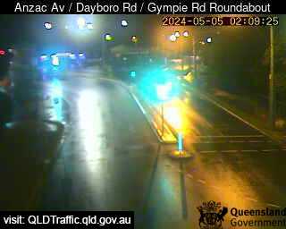
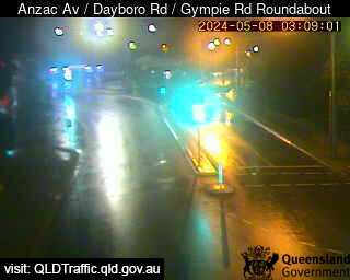
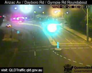
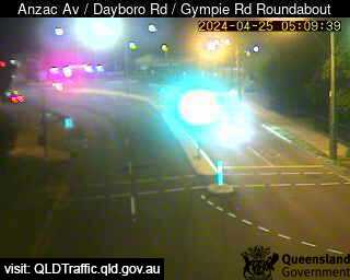
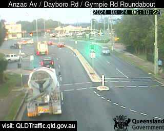
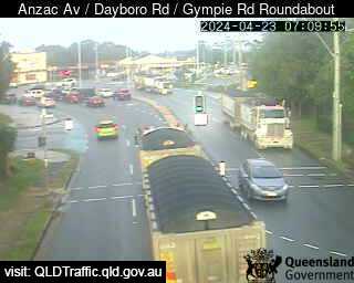
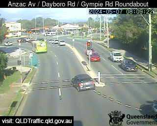
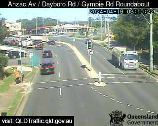
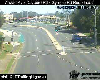
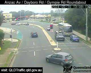
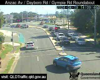
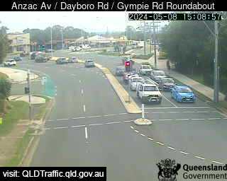
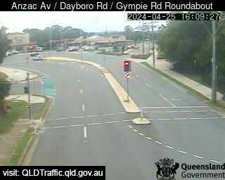
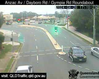
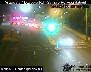
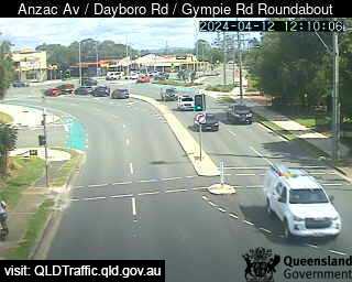
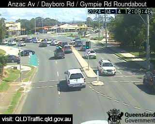
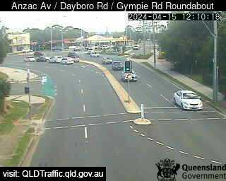
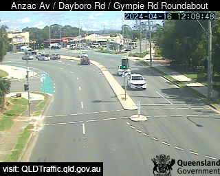
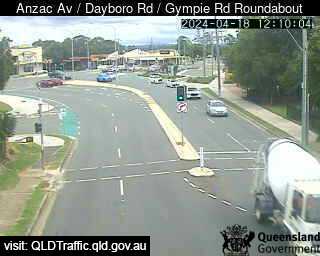
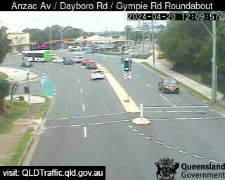
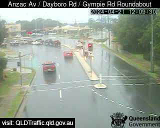
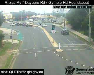
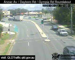
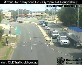
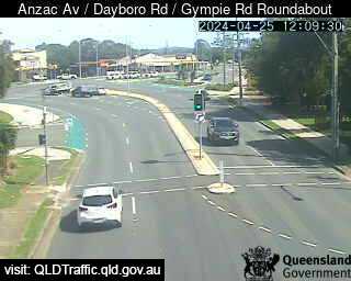
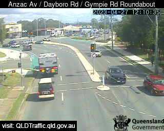
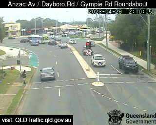
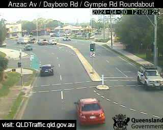
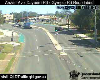
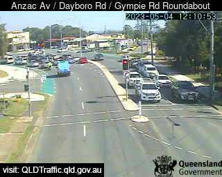
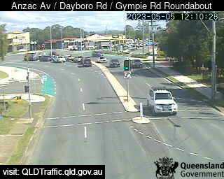
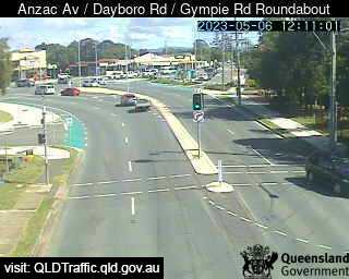
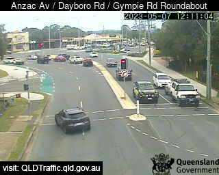
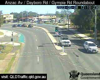
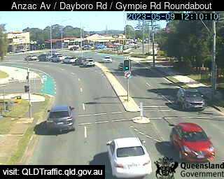
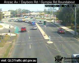
Petrie, Australia - 8.9 miles from Kobble: Anzac Avenue / Dayboro Road / Gympie Road Roundabout (South-West) - A view of the current traffic conditions.
Operator: Queensland Government - Department of Transport and Main Roads
Operator: Queensland Government - Department of Transport and Main Roads


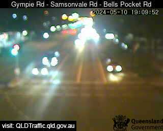
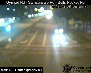
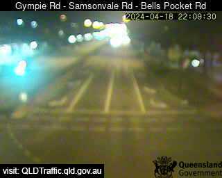
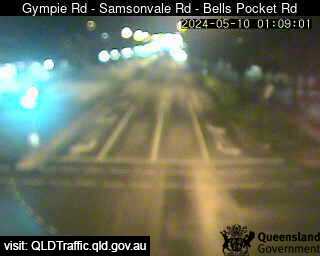
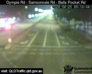
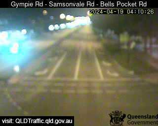
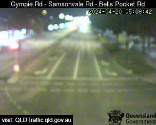
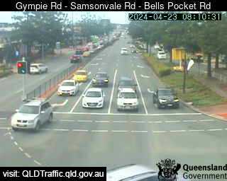
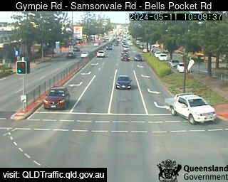
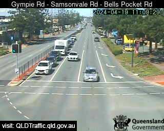
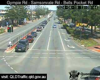
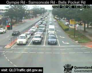
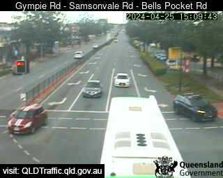
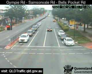
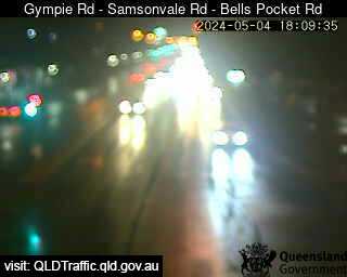
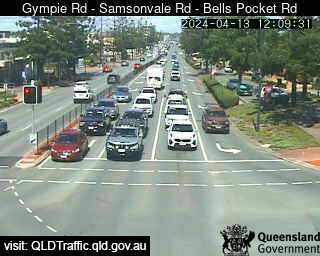
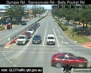
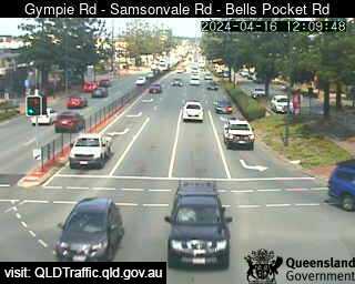
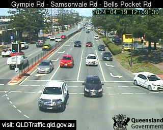
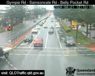
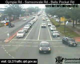
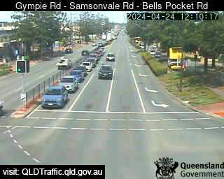
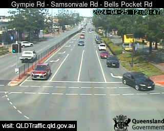
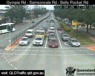
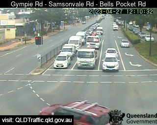
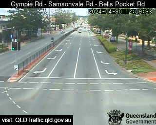
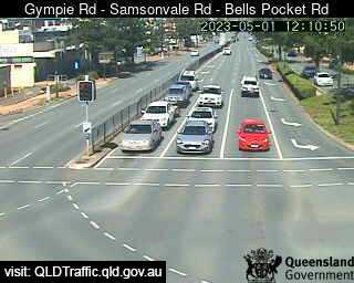
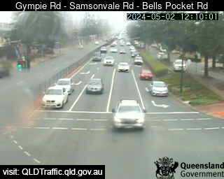
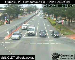
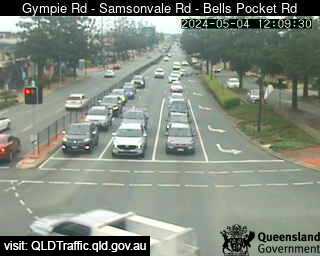
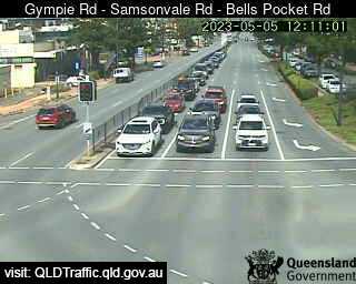
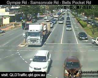
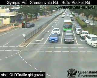
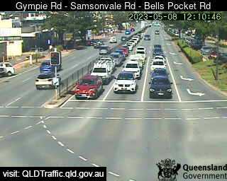
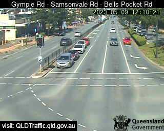
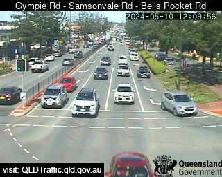
Strathpine, Australia - 10.3 miles from Kobble: Gympie Road - Samsonvale Road - Bells Pocket Road (South) - A view of the current traffic conditions.
Operator: Queensland Government - Department of Transport and Main Roads
Operator: Queensland Government - Department of Transport and Main Roads


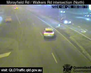
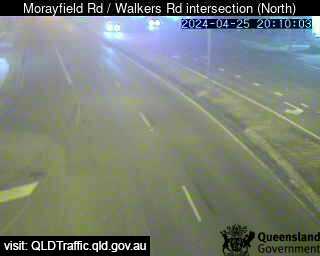
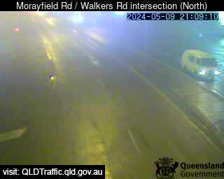
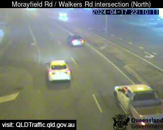
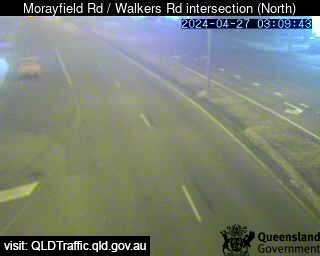
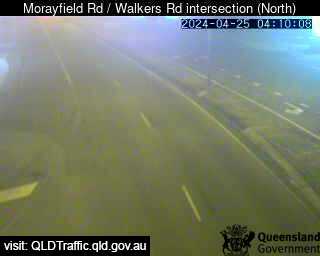
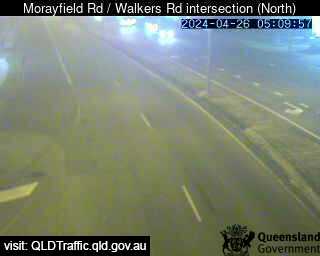
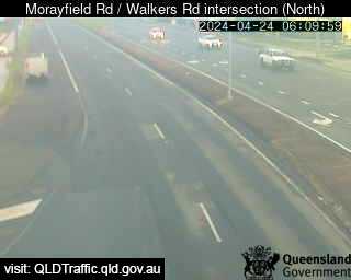
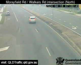
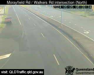
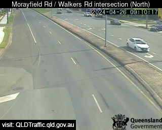
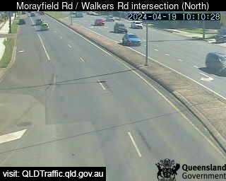
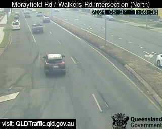
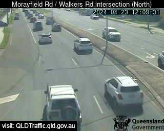
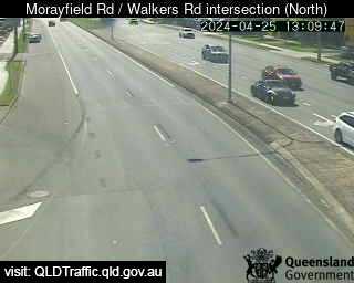
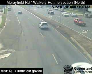
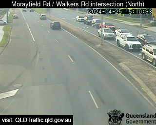
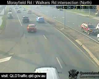
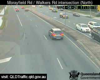
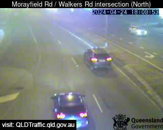
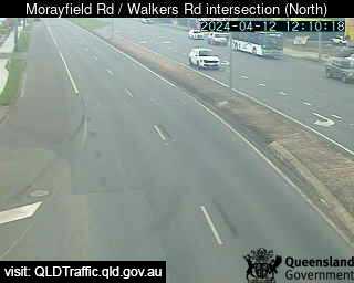
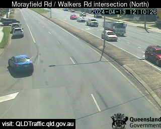
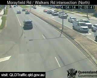
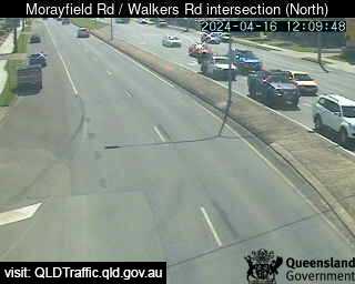
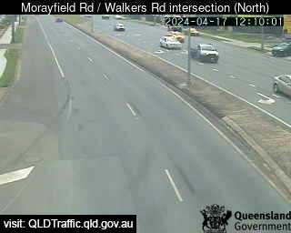
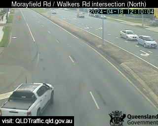
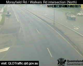
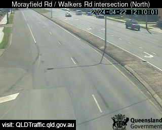
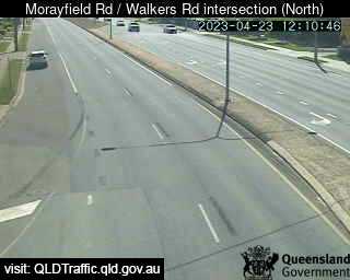
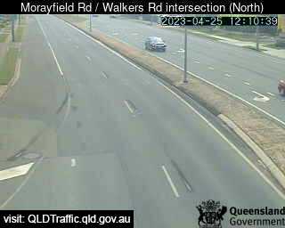
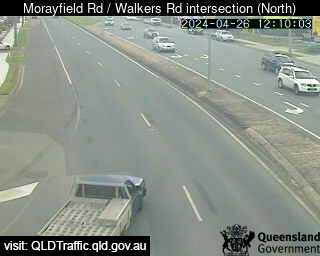
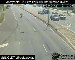
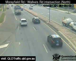
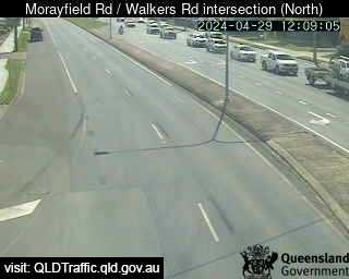
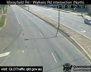
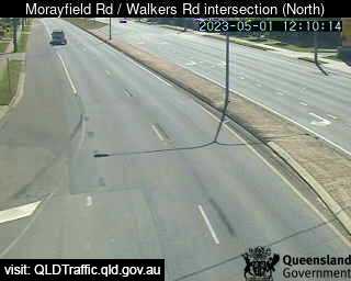
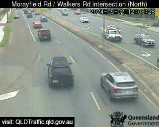
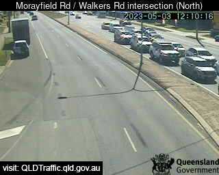
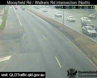
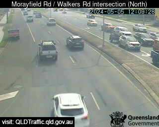
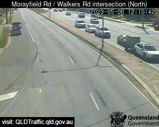
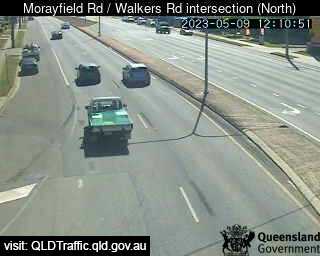
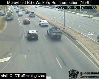
Morayfield, Australia - 12.1 miles from Kobble: Morayfield Road / Walkers Road intersection (South) - A view of the current traffic conditions.
Operator: Queensland Government - Department of Transport and Main Roads
Operator: Queensland Government - Department of Transport and Main Roads


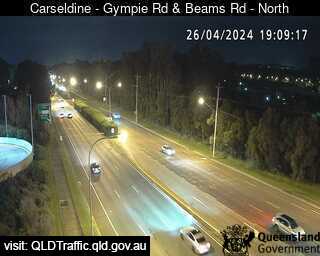
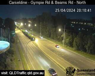
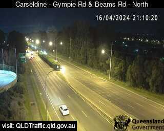
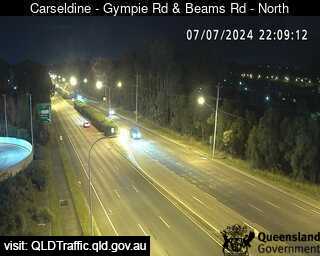
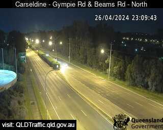
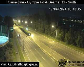
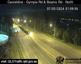
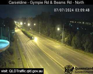
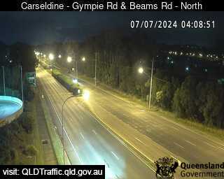
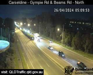
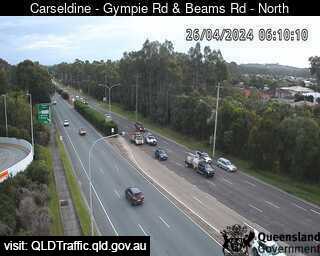
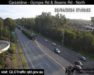
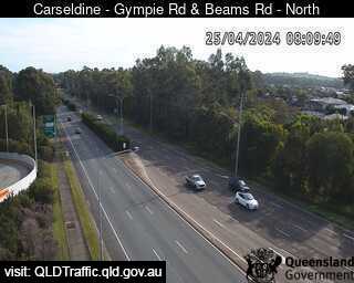
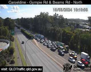
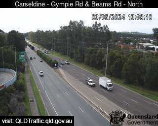
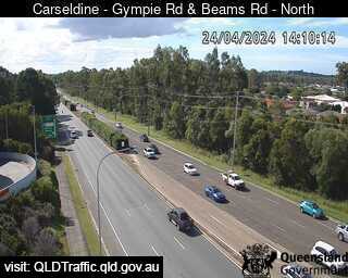
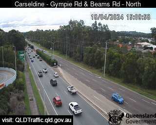
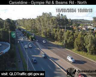
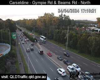
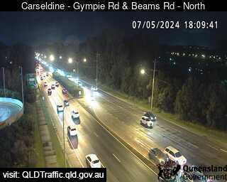
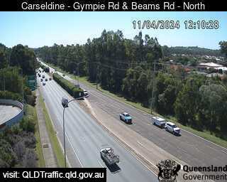
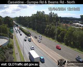
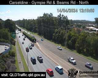
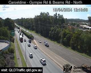
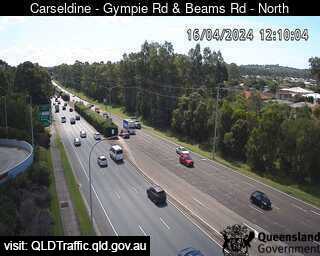
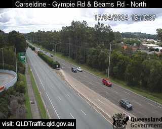
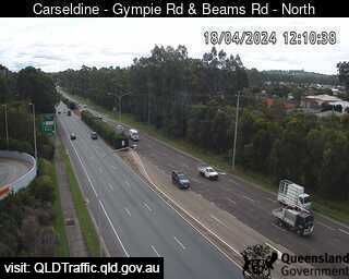
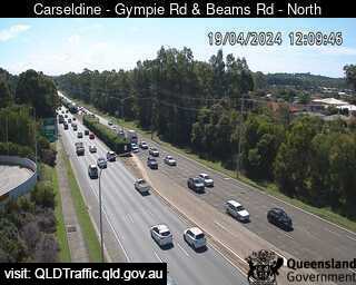
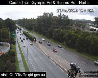
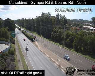
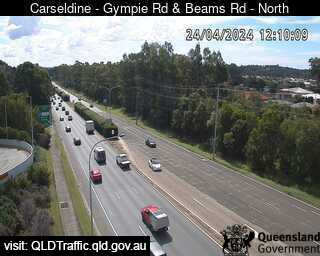
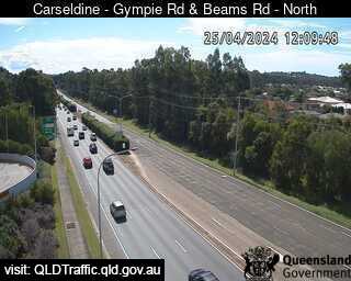
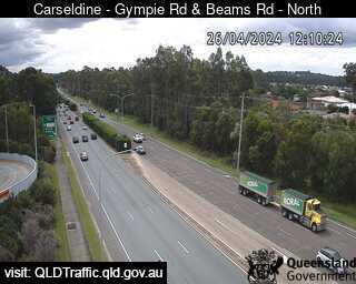
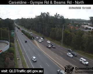
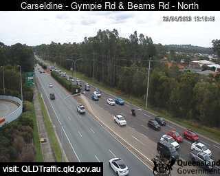
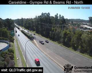
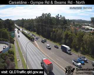
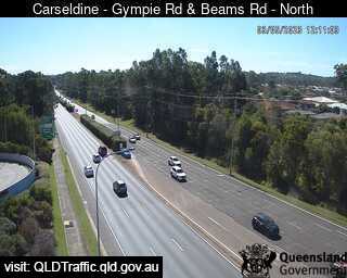
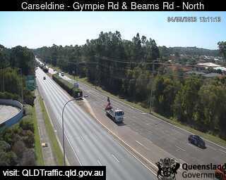
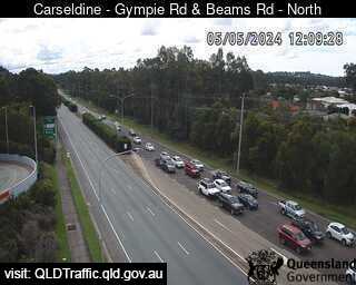
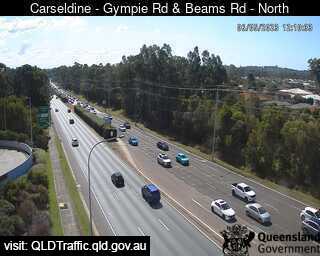
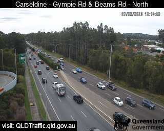
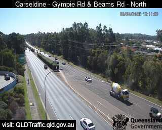
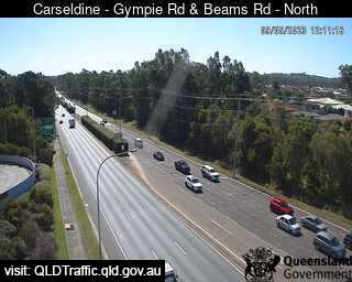
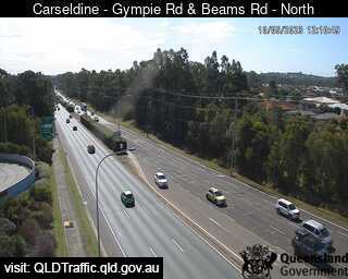
Carseldine, Australia - 12.8 miles from Kobble: Gympie Road and Beams Road (North) - A view of the current traffic conditions.
Operator: Queensland Government - Department of Transport and Main Roads
Operator: Queensland Government - Department of Transport and Main Roads


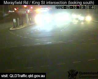
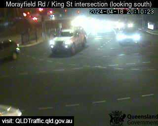
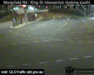
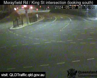
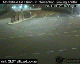
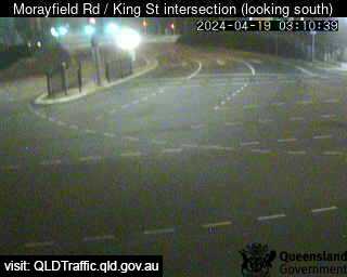
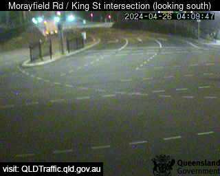
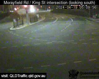
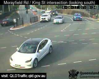
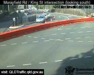
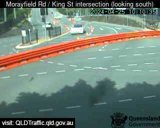
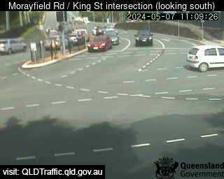
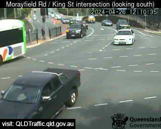
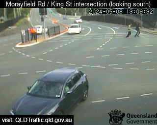
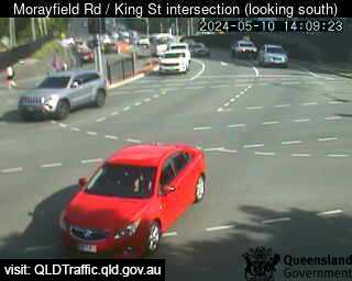
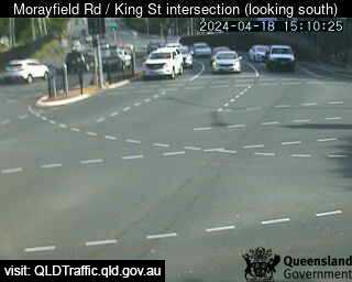
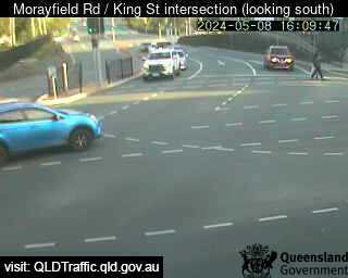
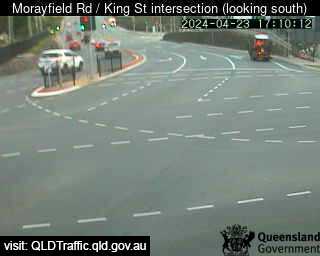
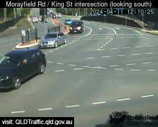
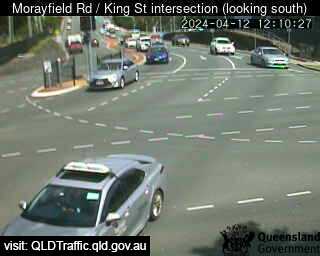
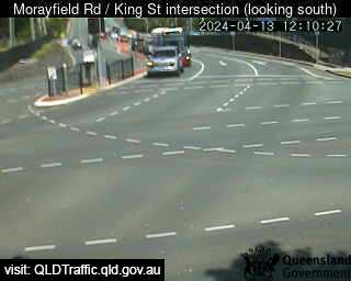
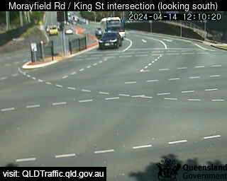
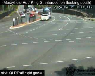
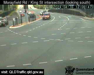
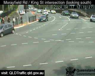
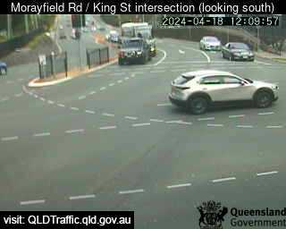
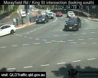
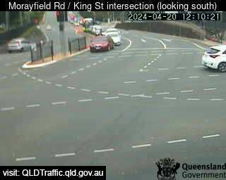
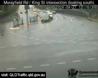
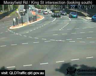
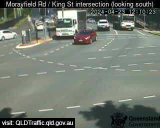
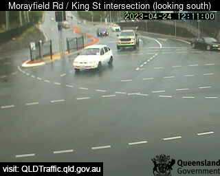
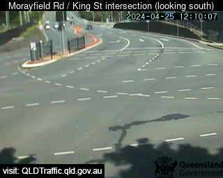
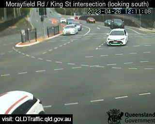
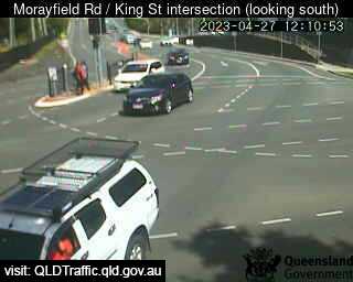
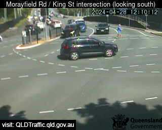
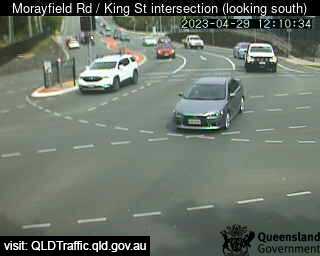
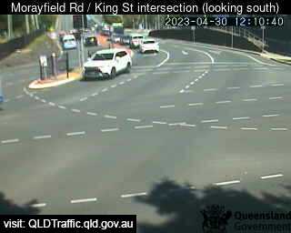
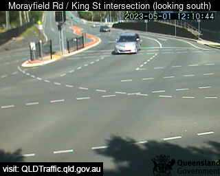
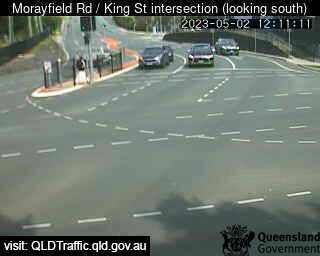
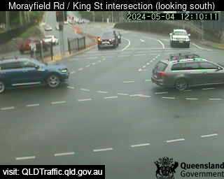
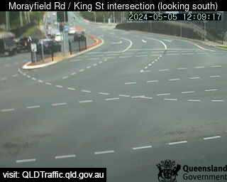
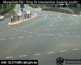
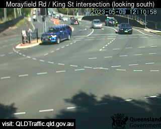
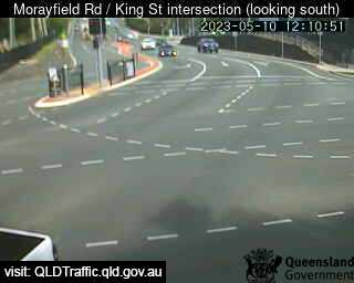
Caboolture, Australia - 13.6 miles from Kobble: Morayfield Road / King Street intersection (East) - A view of the current traffic conditions.
Operator: Queensland Government - Department of Transport and Main Roads
Operator: Queensland Government - Department of Transport and Main Roads


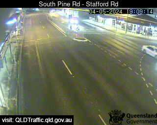
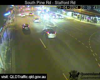
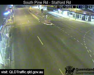
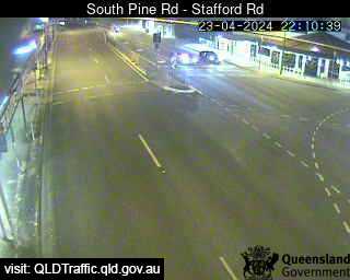
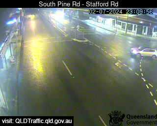
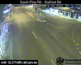
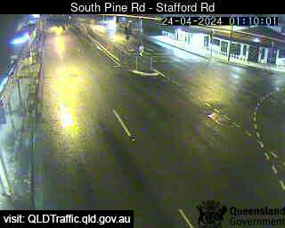
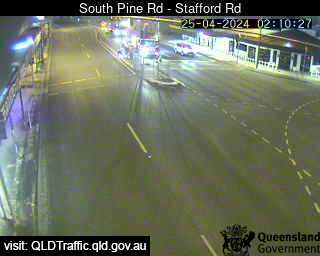
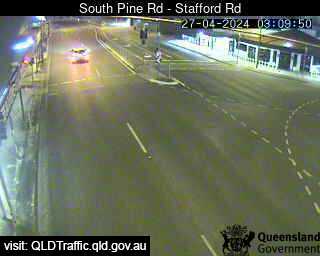
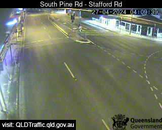
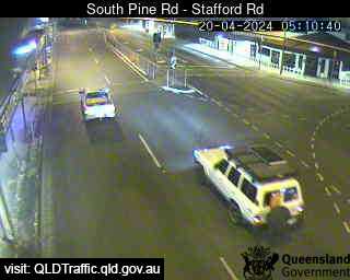
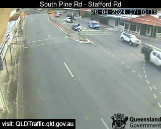
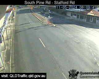
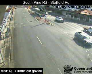
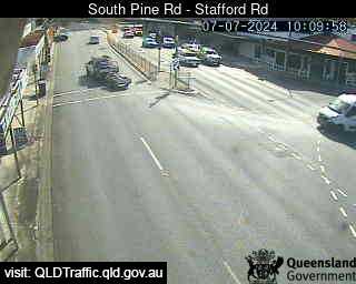
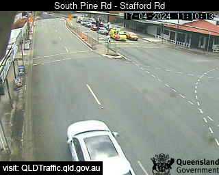
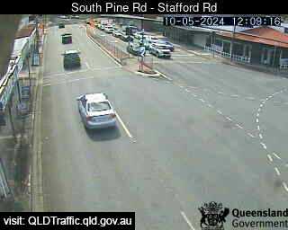
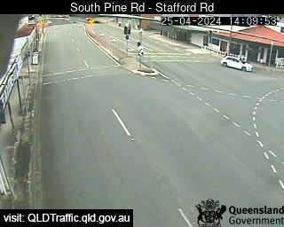
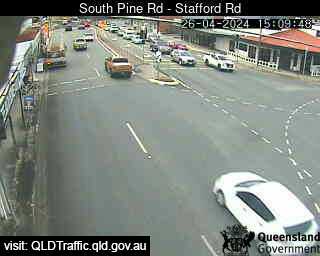
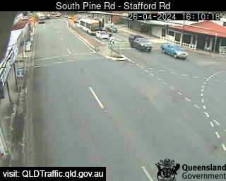
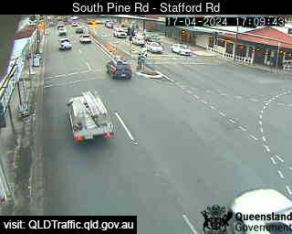
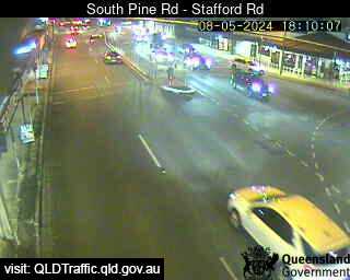
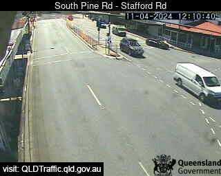
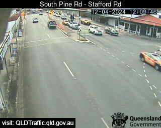
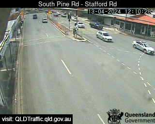
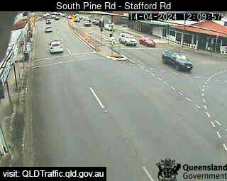
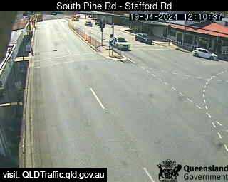
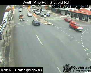
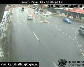
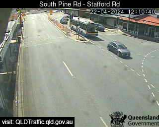
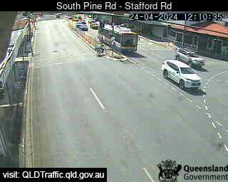
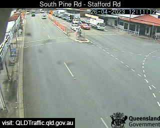
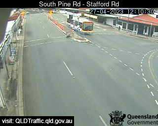
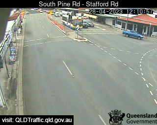
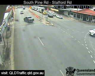
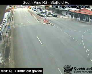
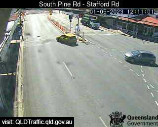
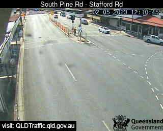
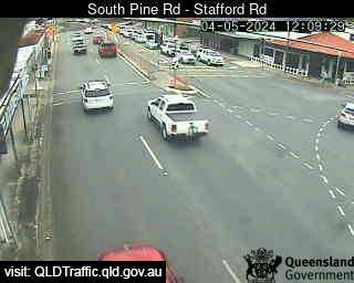
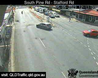
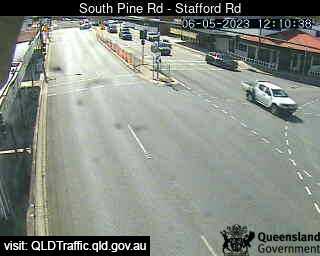
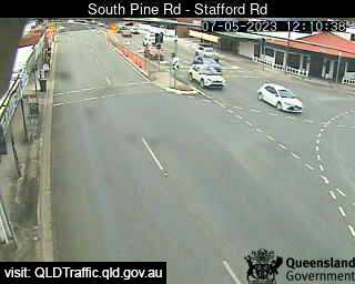
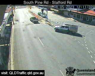
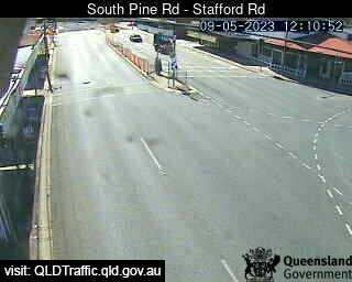
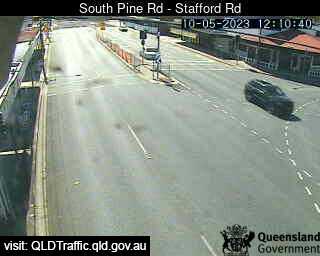
Everton Park, Australia - 14.5 miles from Kobble: South Pine Road - Stafford Road (North) - A view of the current traffic conditions.
Operator: Queensland Government - Department of Transport and Main Roads
Operator: Queensland Government - Department of Transport and Main Roads


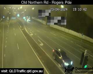
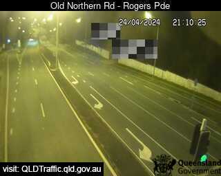
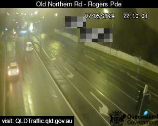
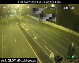
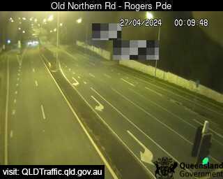
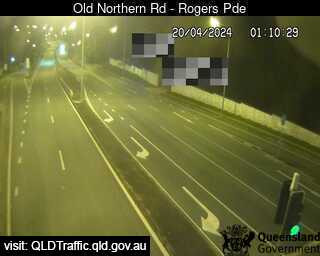
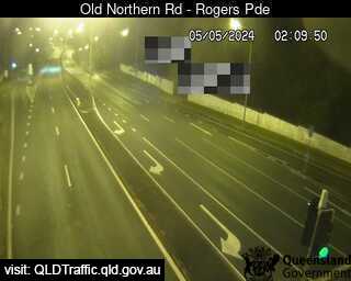
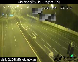
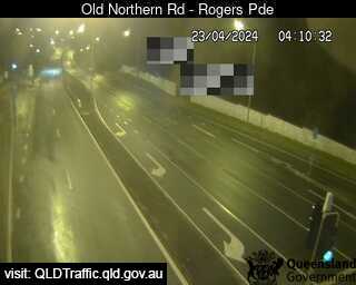
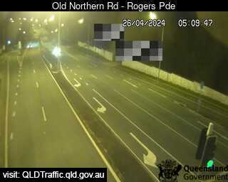
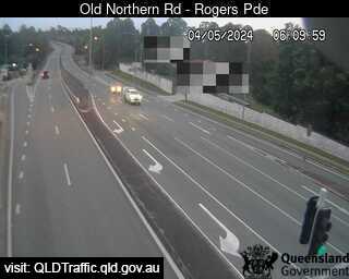
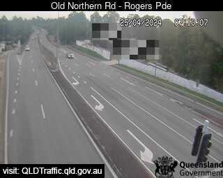
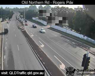
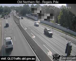
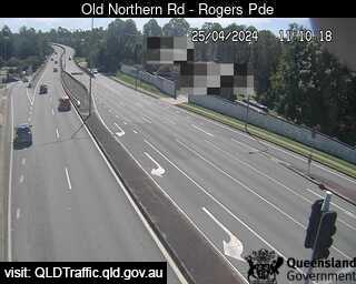
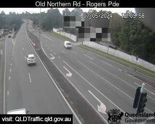
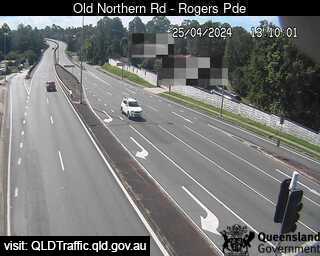
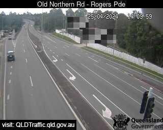
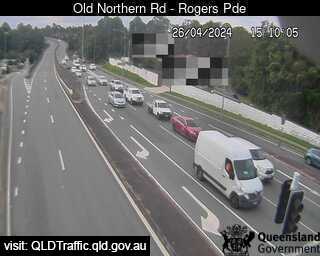
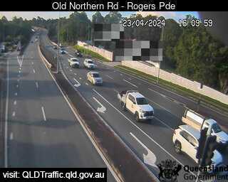
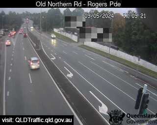
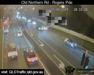
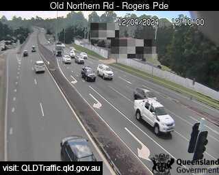
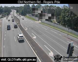
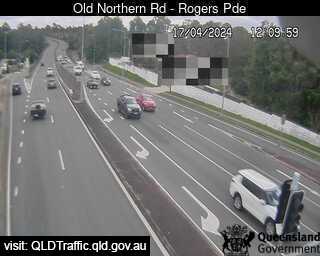
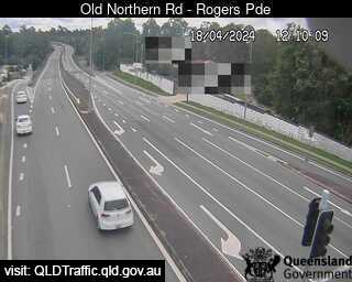
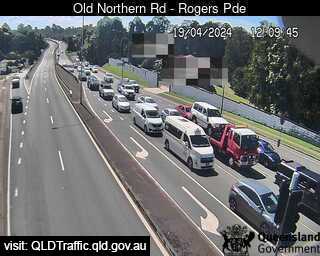
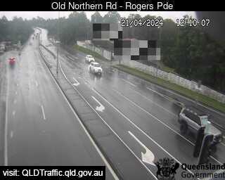
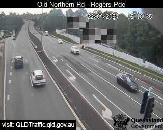
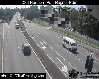
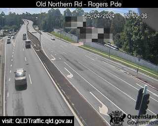
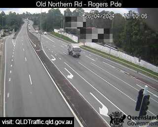
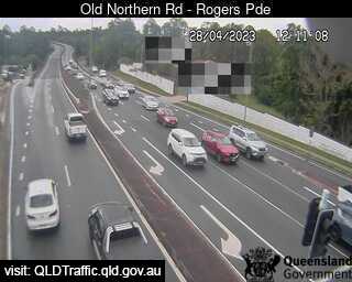
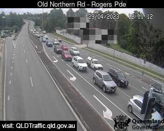
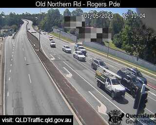
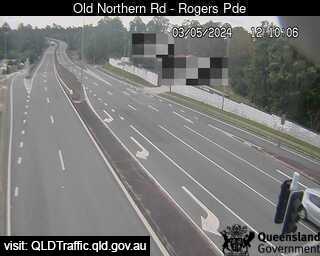
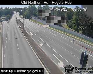
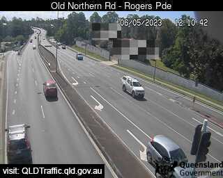
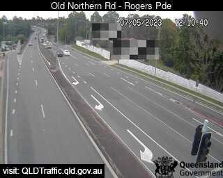
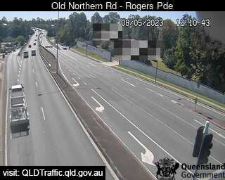
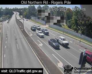
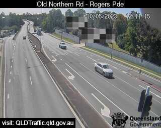
Everton Park, Australia - 14.5 miles from Kobble: Old Northern Road - A view of the current traffic conditions.
Operator: Queensland Government - Department of Transport and Main Roads
Operator: Queensland Government - Department of Transport and Main Roads


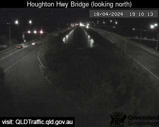
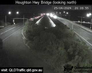
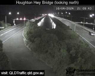
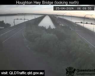
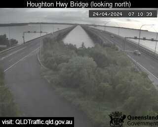
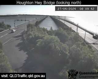
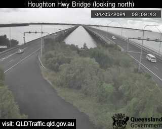
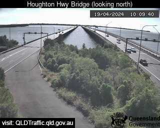
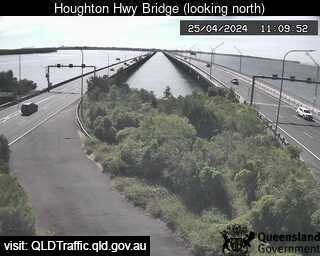
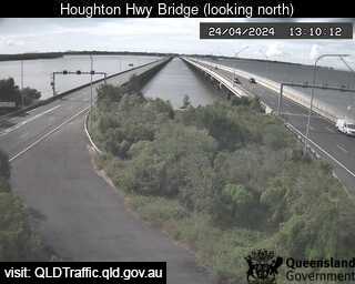
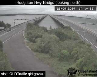
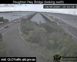
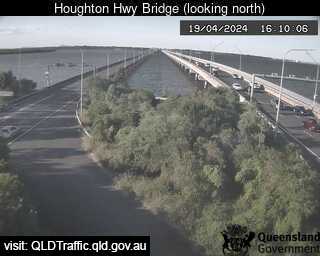
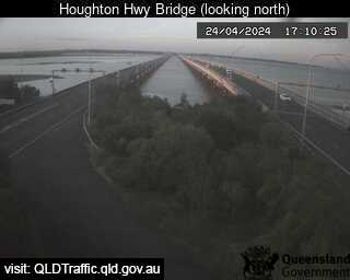
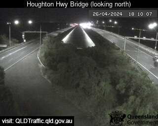
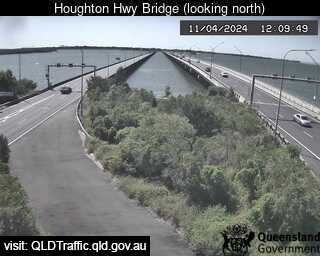
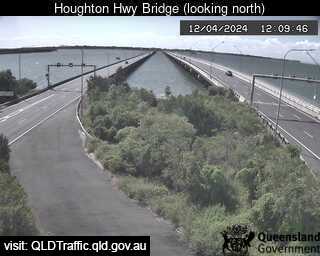
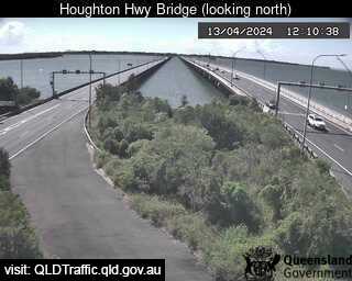
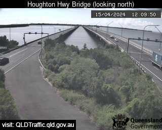
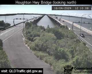
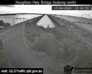
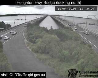
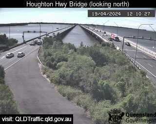
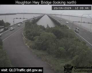
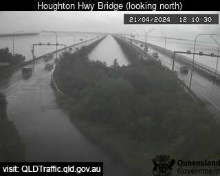
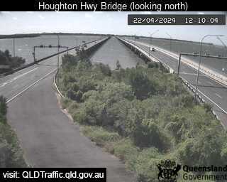
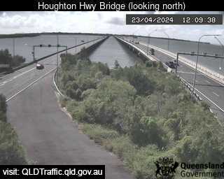
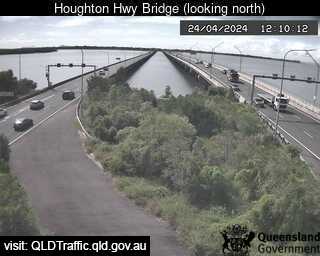
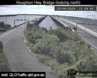
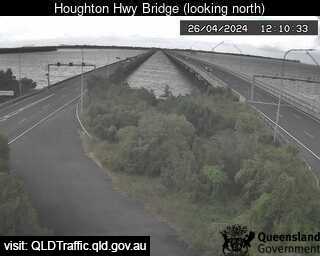
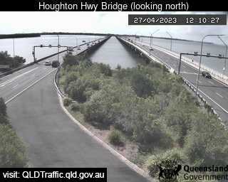
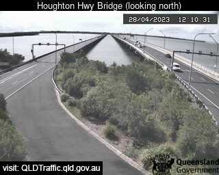
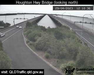
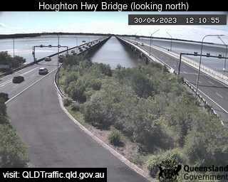
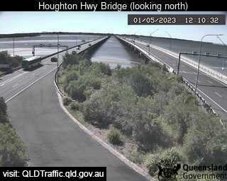
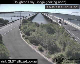
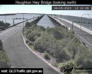
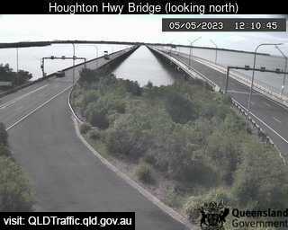
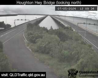
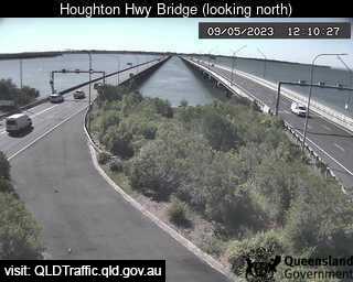
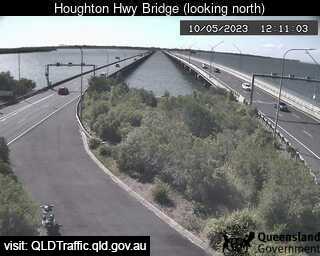
Brighton, Australia - 14.5 miles from Kobble: Houghton Highway Bridge - A view of the current traffic conditions.
Operator: Queensland Government - Department of Transport and Main Roads
Operator: Queensland Government - Department of Transport and Main Roads


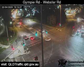
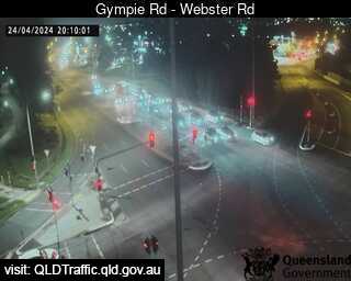
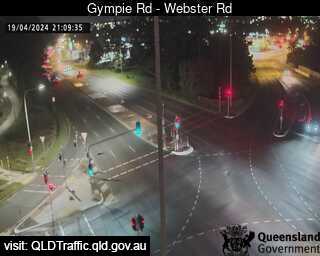
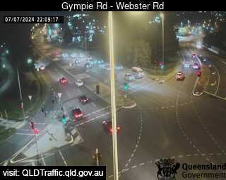
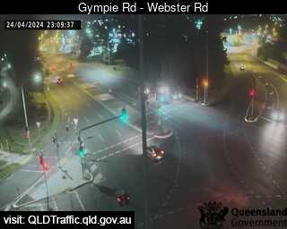
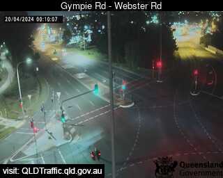
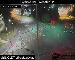
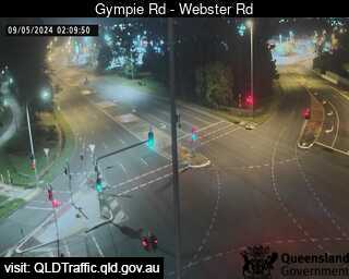
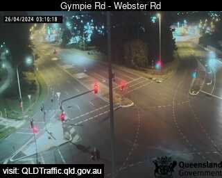
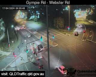
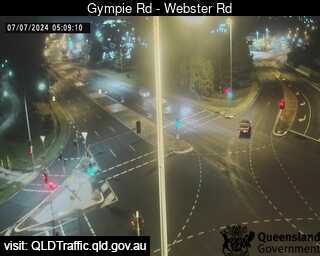
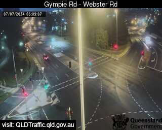
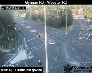
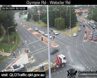
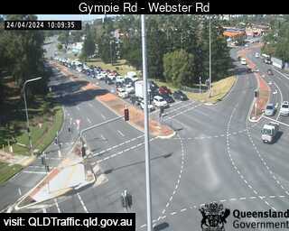
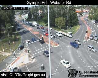
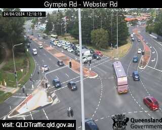
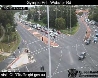
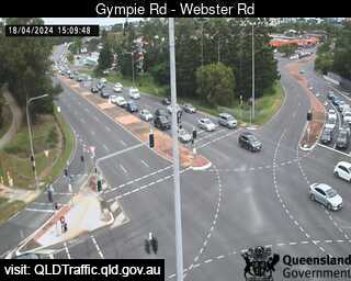
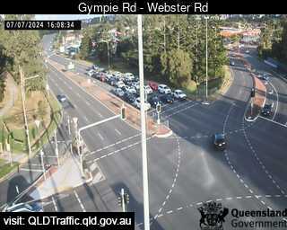
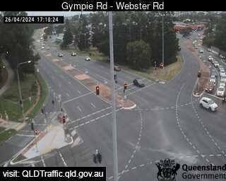
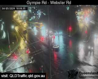
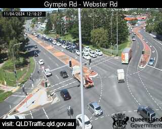
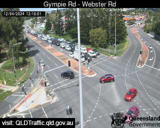
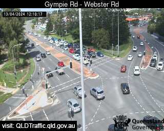
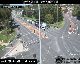
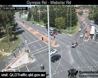
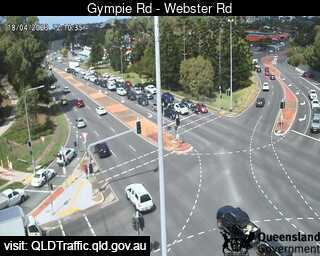
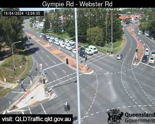
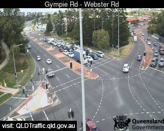
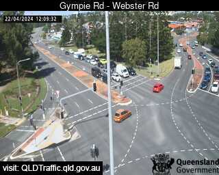
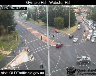
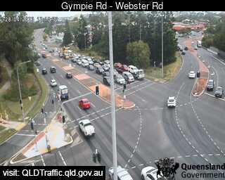
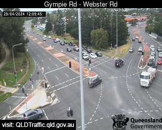
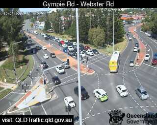
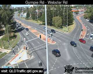
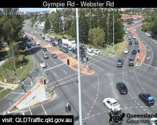
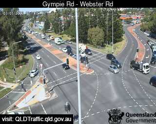
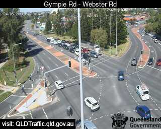
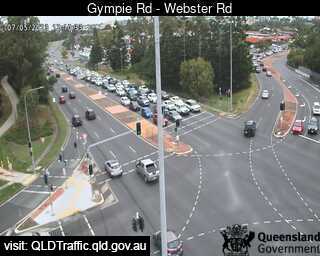
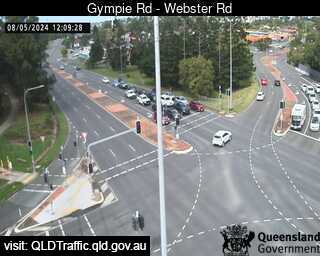
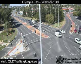
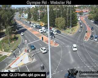
Chermside, Australia - 15.3 miles from Kobble: Gympie Road - Webster Road - A view of the current traffic conditions.
Operator: Queensland Government - Department of Transport and Main Roads
Operator: Queensland Government - Department of Transport and Main Roads


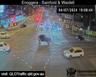
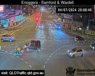
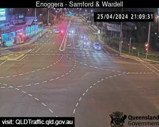
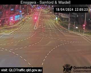
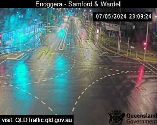
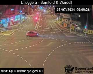
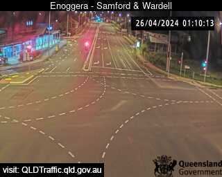
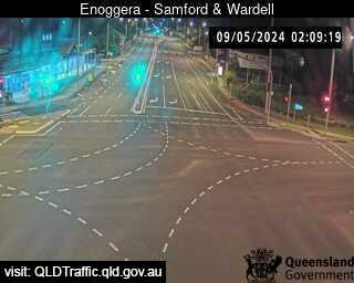
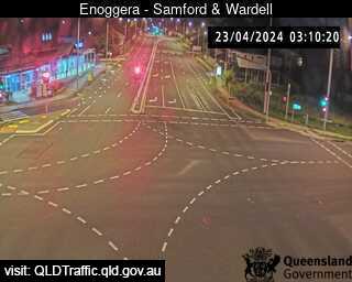
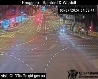
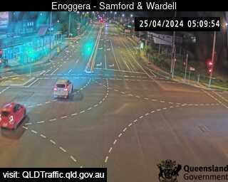
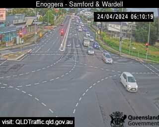
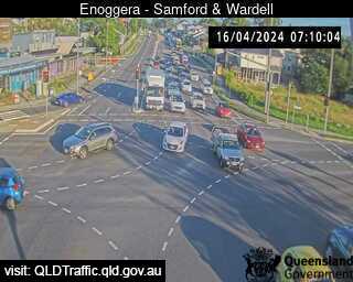
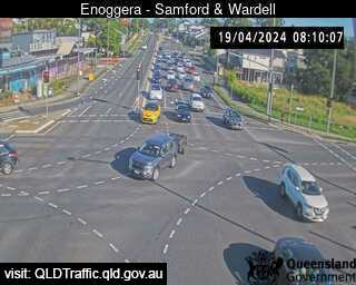
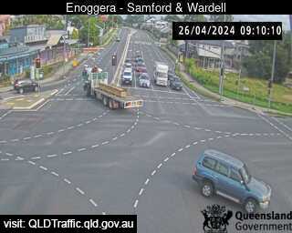
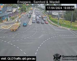
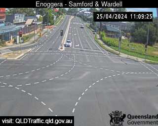
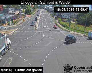
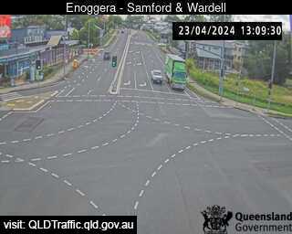
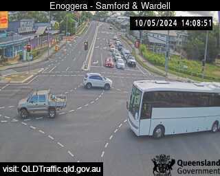
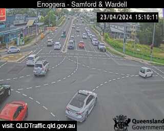
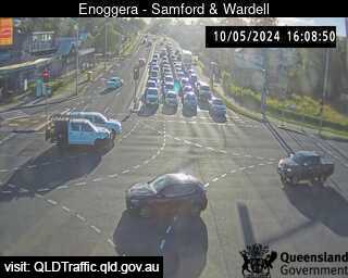
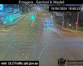
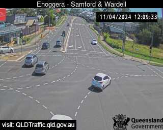
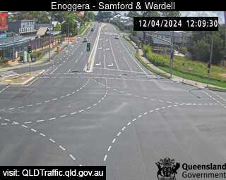
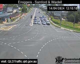
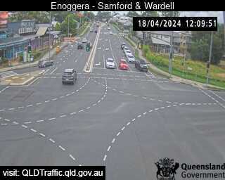
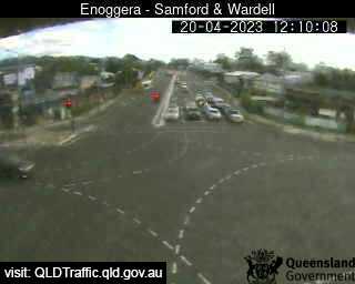
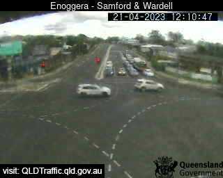
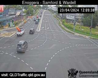
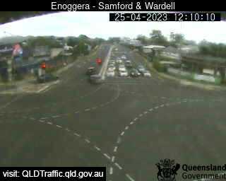
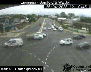
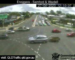
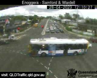
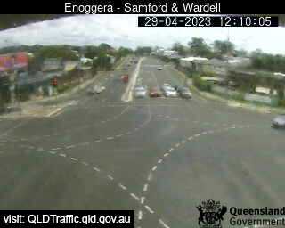
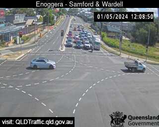
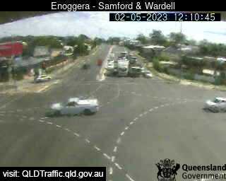
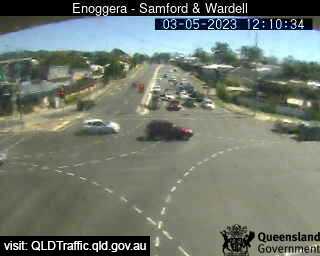
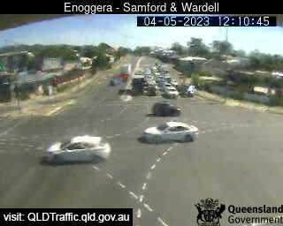
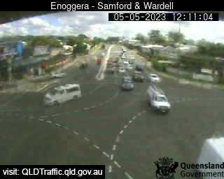
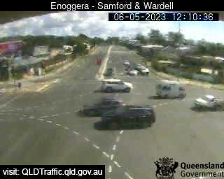
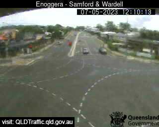
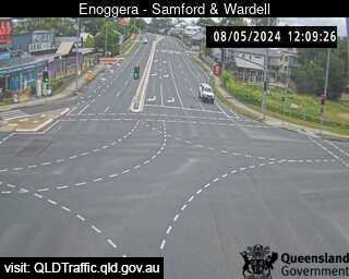
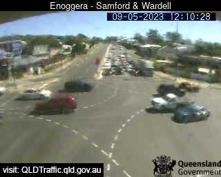
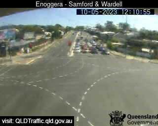
Enoggera, Australia - 15.4 miles from Kobble: Samford Road and Wardell Street (West) - A view of the current traffic conditions.
Operator: Queensland Government - Department of Transport and Main Roads
Operator: Queensland Government - Department of Transport and Main Roads


Some other places in this country: Knotts Siding - Knowsley - Knuckeys Lagoon - Koah - Kobyboyn - Kogarah - Kolijo - Kolodong - Komungla - Konagaderra