Webcams in the region of Kenilworth, Australia
The List of Webcams near Kenilworth, Australia:

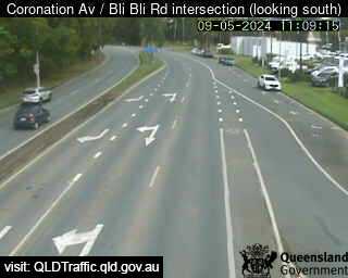
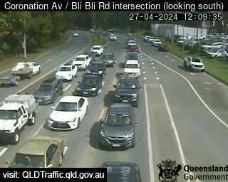
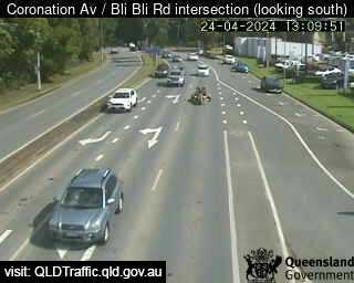
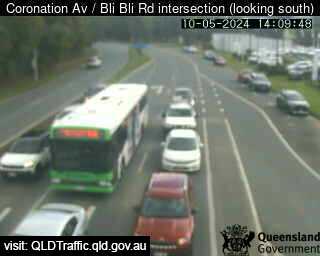
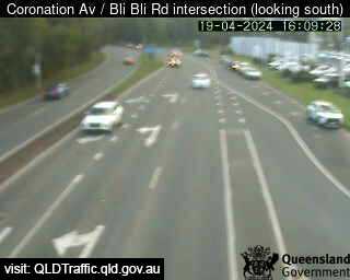
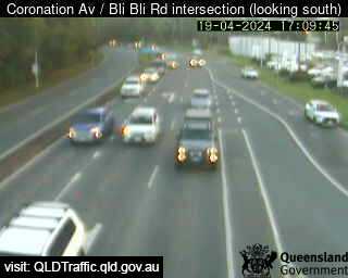
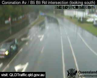
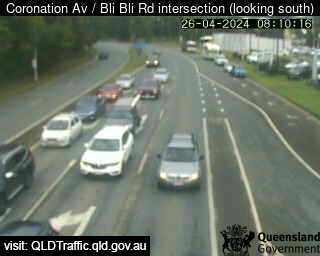
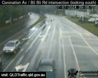
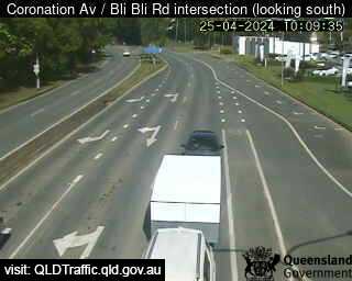
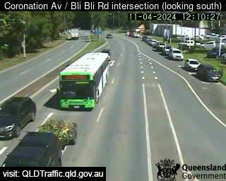
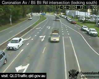
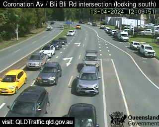
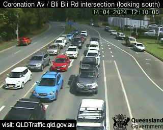
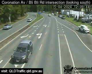
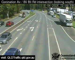
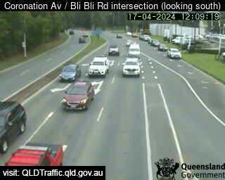
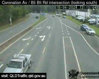
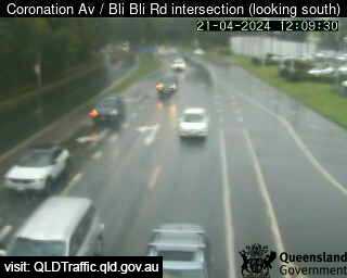
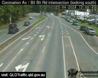
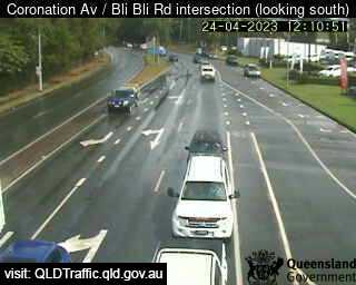
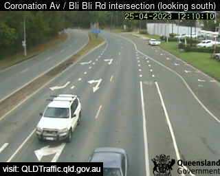
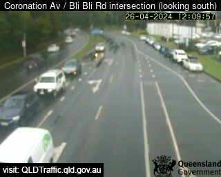
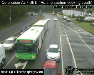
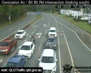
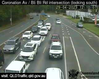
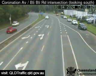
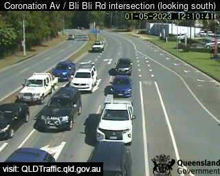
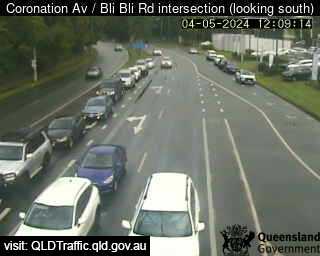
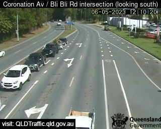
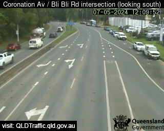
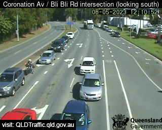
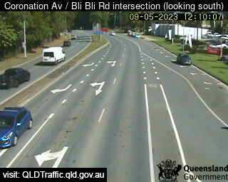
Nambour, Australia - 14.3 miles from Kenilworth: Coronation Avenue / Bli Bli Road intersection (South) - A view of the current traffic conditions.
Operator: Queensland Government - Department of Transport and Main Roads
Operator: Queensland Government - Department of Transport and Main Roads


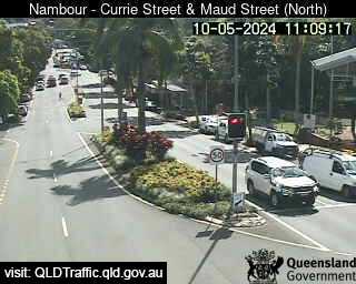
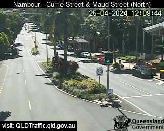
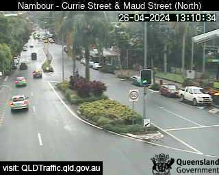
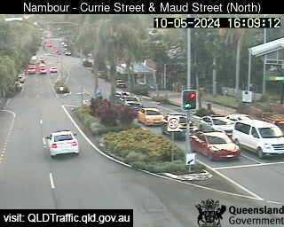
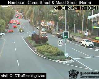
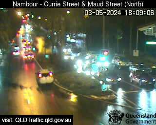
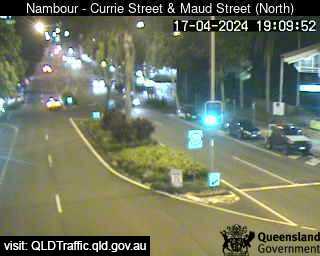
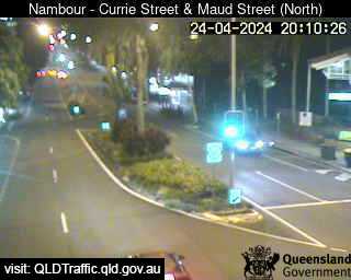
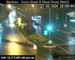
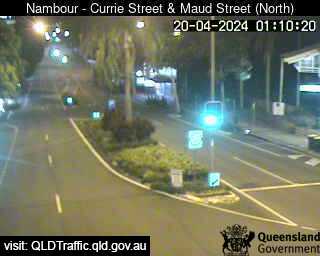
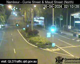
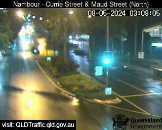
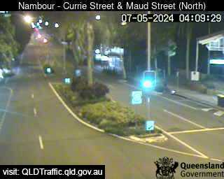
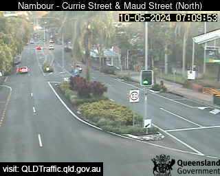
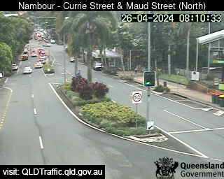
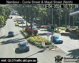
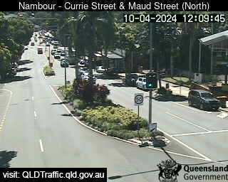
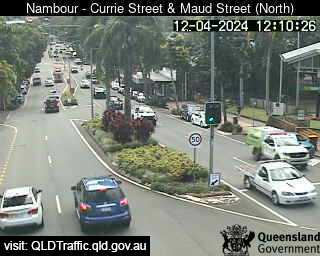
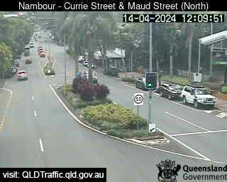
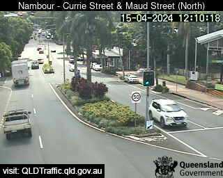
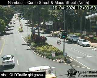
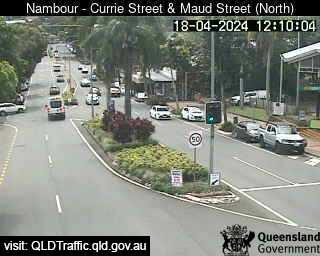
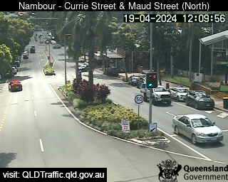
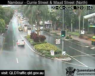
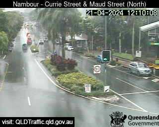
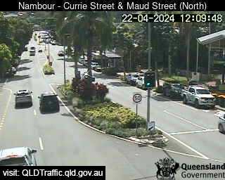
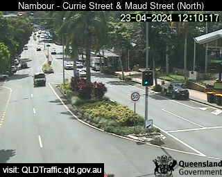
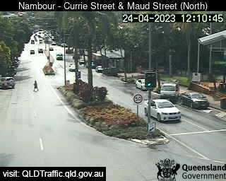
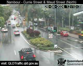
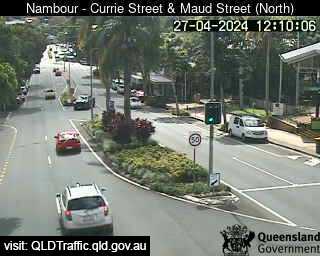
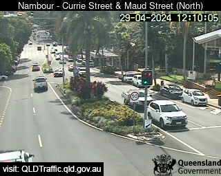
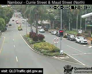
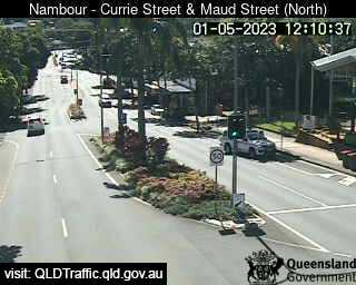
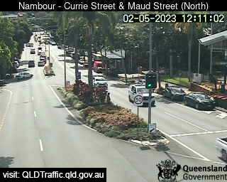
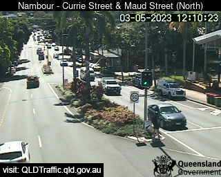
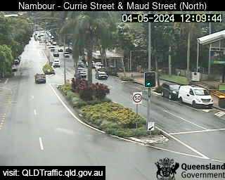
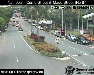
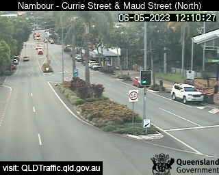
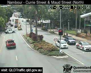
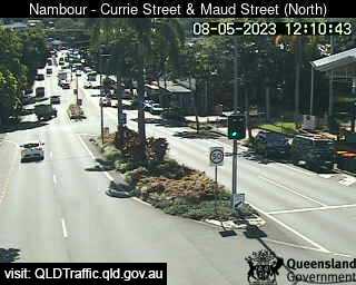
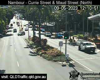
Nambour, Australia - 14.3 miles from Kenilworth: Currie Street and Maud Street (looking north) - A view of the current traffic conditions.
Operator: Queensland Government - Department of Transport and Main Roads
Operator: Queensland Government - Department of Transport and Main Roads


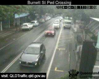
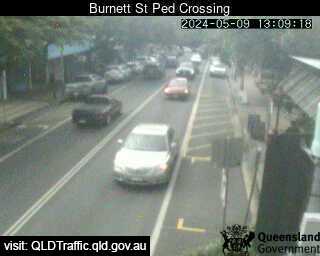
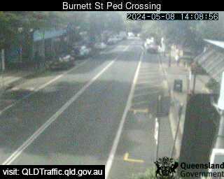
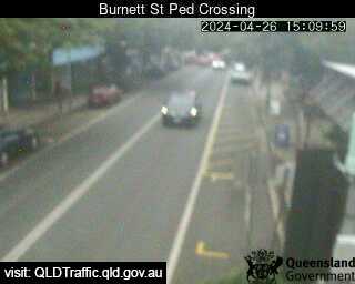
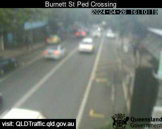
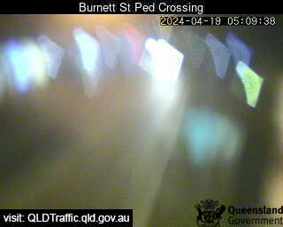
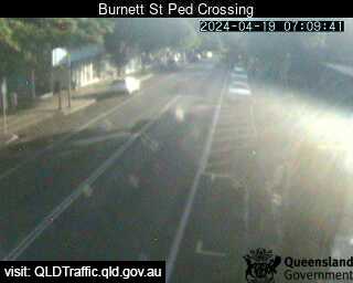
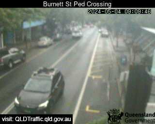
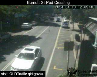
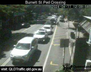
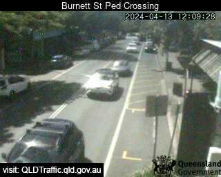
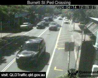
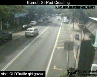
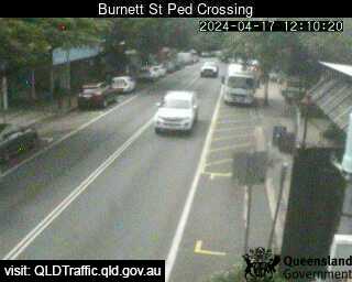
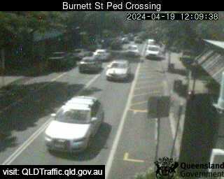
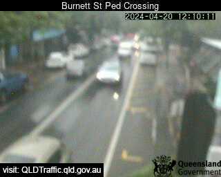
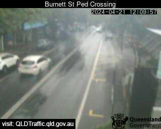
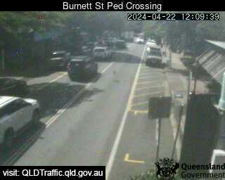
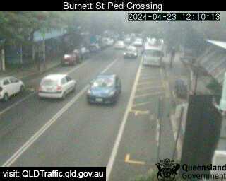
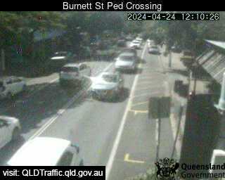
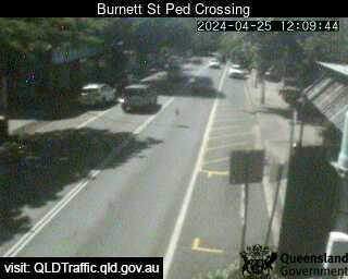
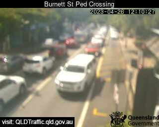
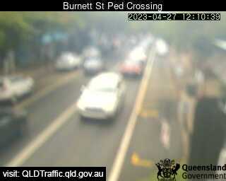
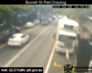
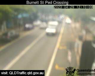
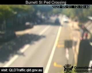
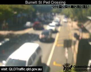
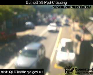
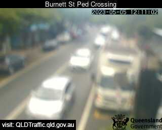
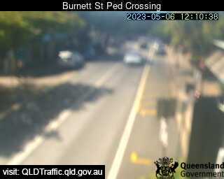
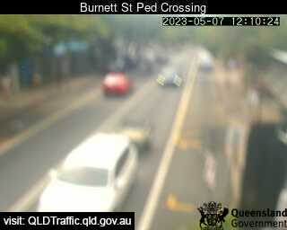
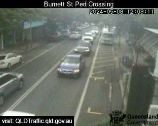
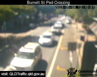
Buderim, Australia - 21 miles from Kenilworth: Burnett Street Pedestrian Crossing (West) - A view of the current traffic conditions.
Operator: Queensland Government - Department of Transport and Main Roads
Operator: Queensland Government - Department of Transport and Main Roads


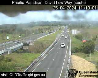
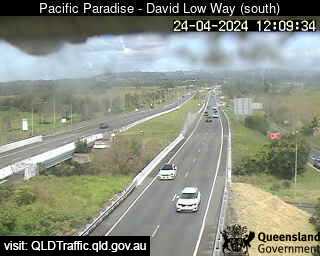
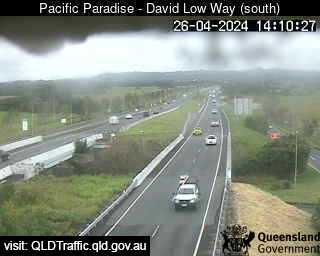
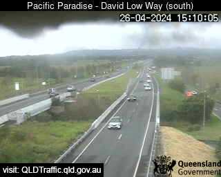
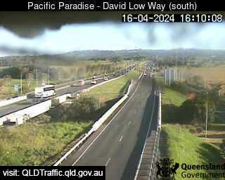
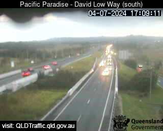
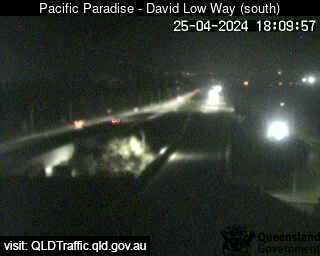
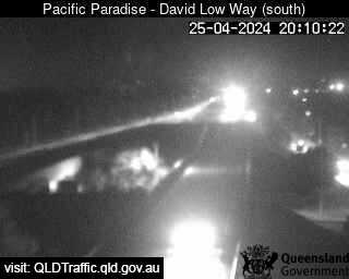
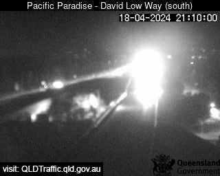
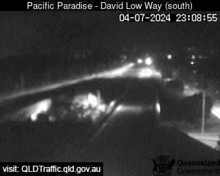
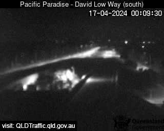
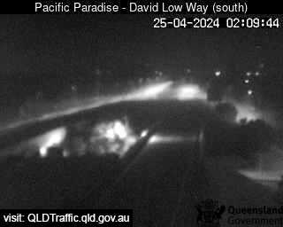
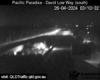
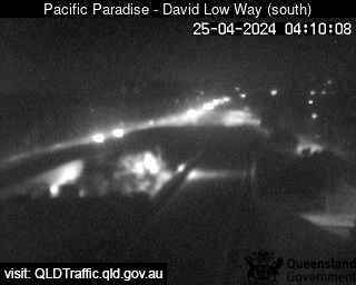
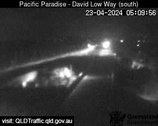
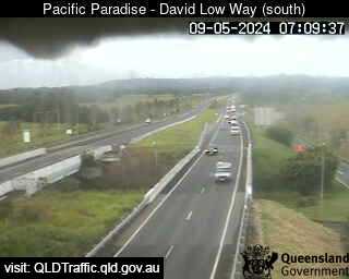
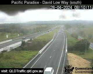
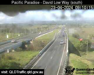
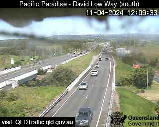
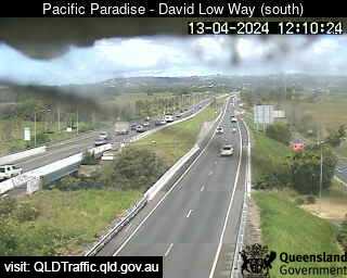
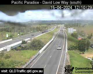
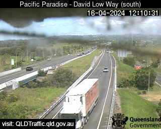
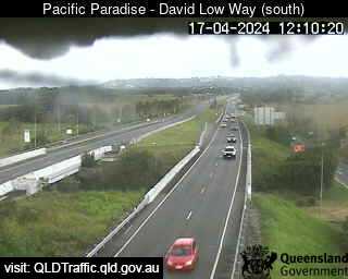
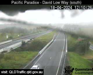
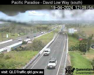
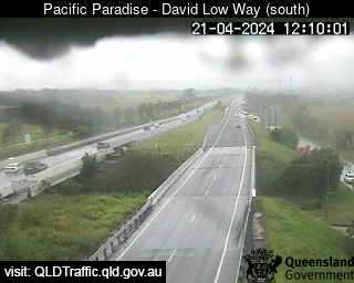
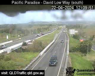
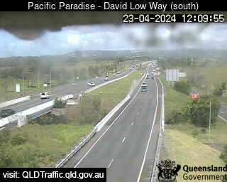
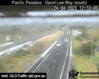
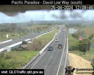
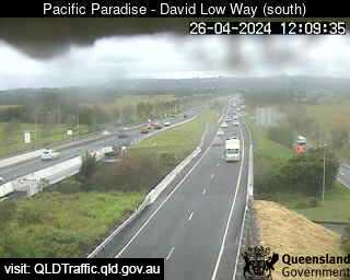
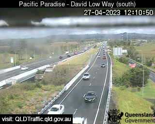
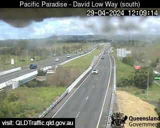
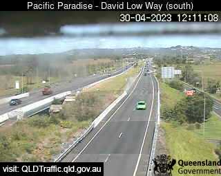
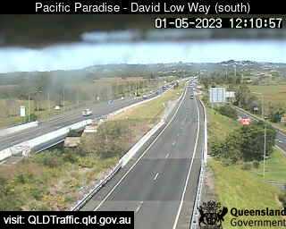
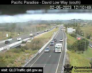
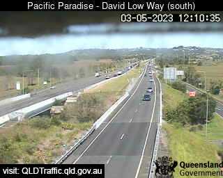
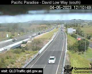
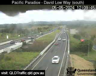
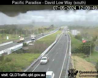
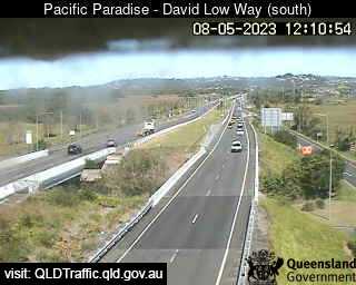
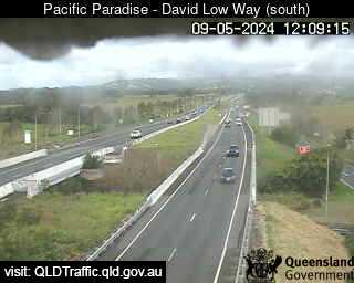
Pacific Paradise, Australia - 21.6 miles from Kenilworth: Sunshine Motorway, David Low Way interchange (looking South) - A view of the current traffic conditions.
Operator: Queensland Government - Department of Transport and Main Roads
Operator: Queensland Government - Department of Transport and Main Roads


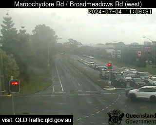
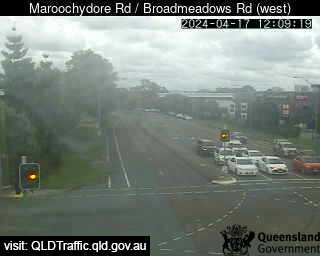
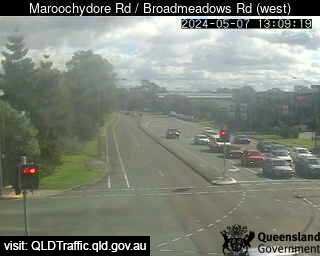
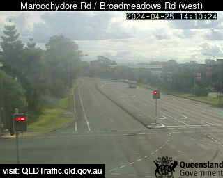
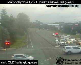
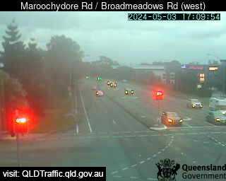
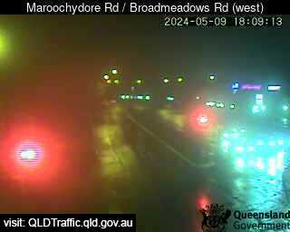
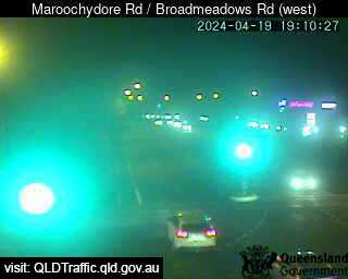
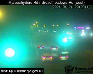
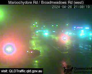
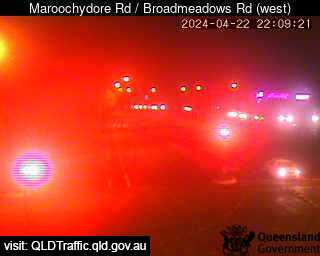
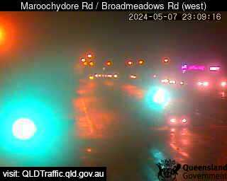
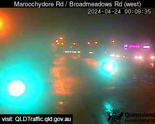
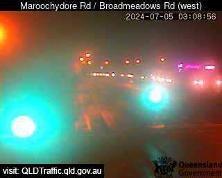
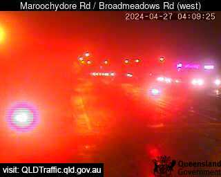
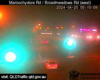
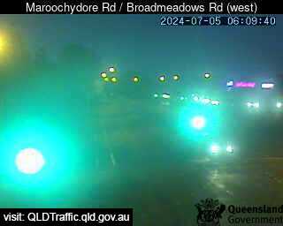
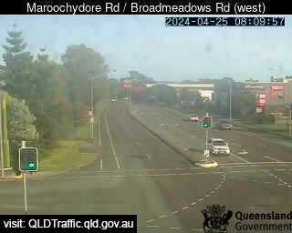
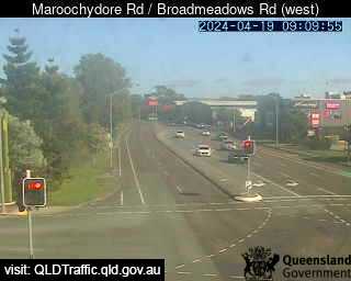
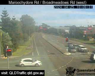
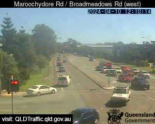
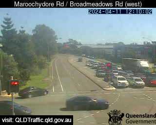
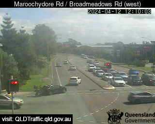
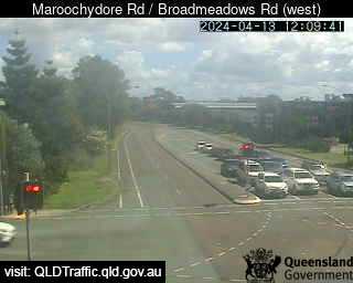
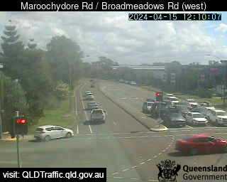
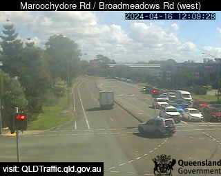
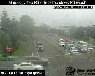
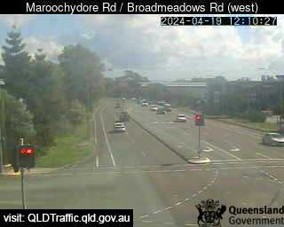
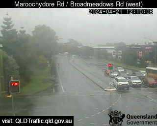
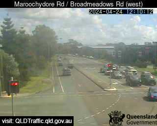
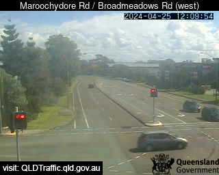
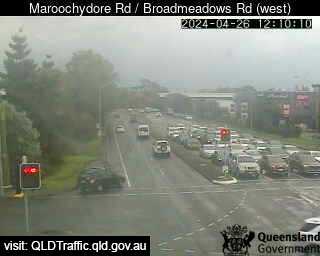
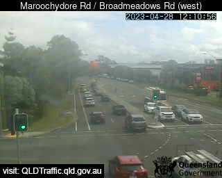
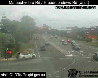
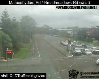
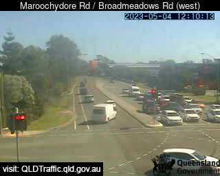
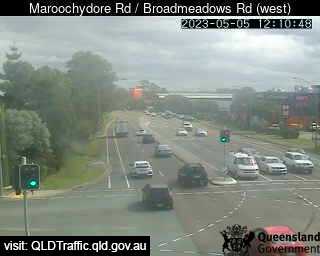
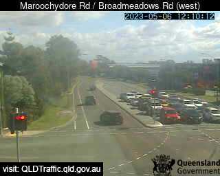
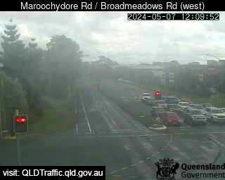
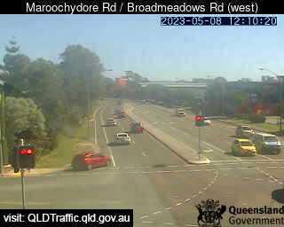
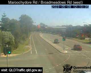
Maroochydore, Australia - 22.5 miles from Kenilworth: Maroochydore Road / Broadmeadows Road (West) - A view of the current traffic conditions.
Operator: Queensland Government - Department of Transport and Main Roads
Operator: Queensland Government - Department of Transport and Main Roads


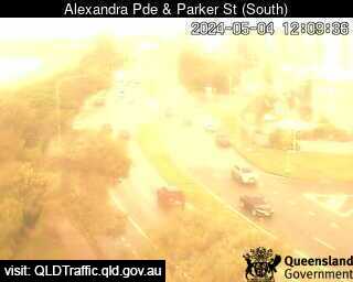
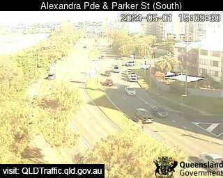
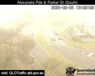
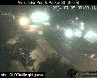
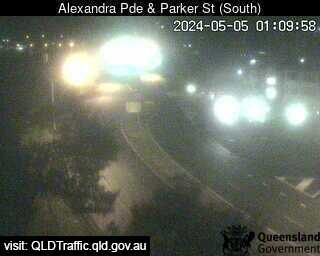
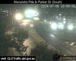
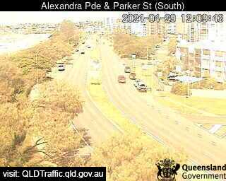
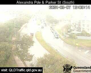
Maroochydore, Australia - 22.5 miles from Kenilworth: Alex Parade and Parker Street (looking south) - A view of the current traffic conditions.
Operator: Queensland Government - Department of Transport and Main Roads
Operator: Queensland Government - Department of Transport and Main Roads


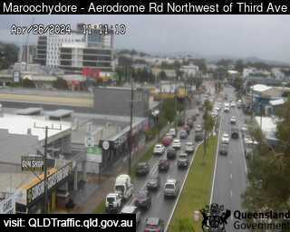
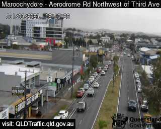
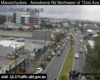
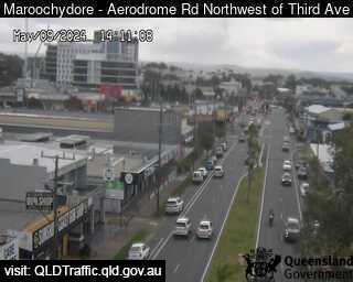
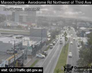
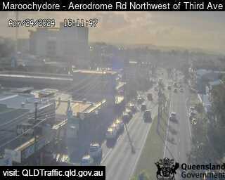
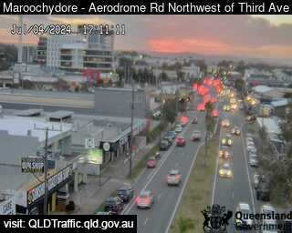
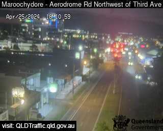
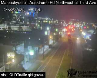
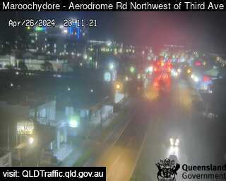
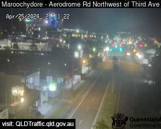
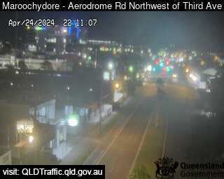
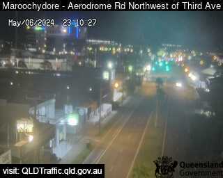
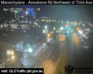
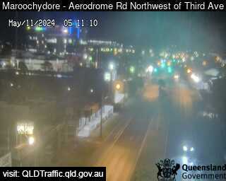
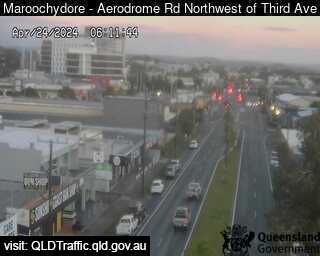
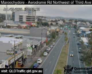
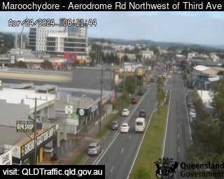
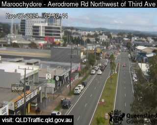
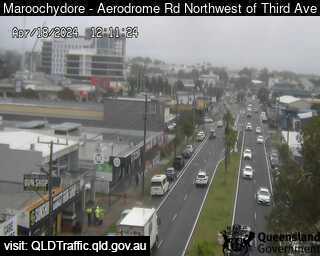
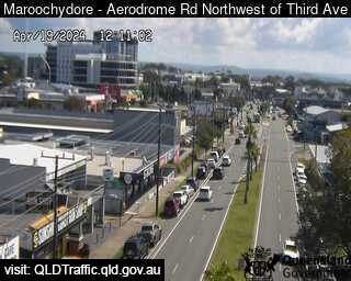
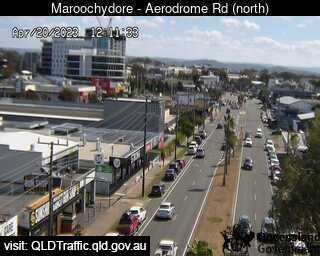
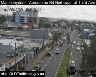
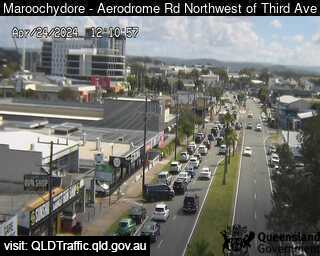
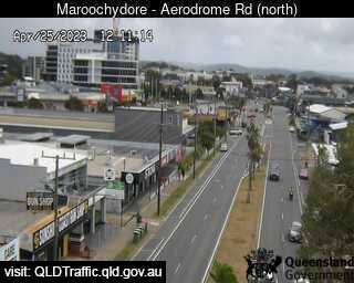
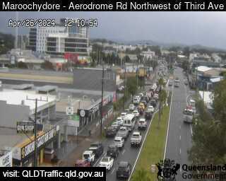
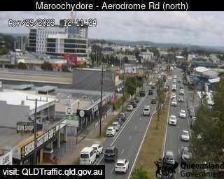
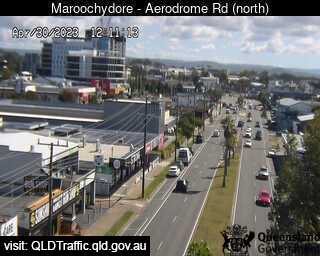
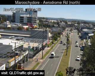
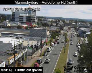
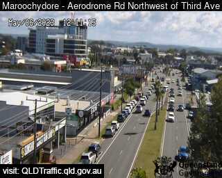
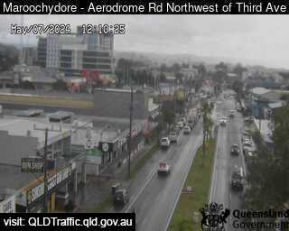
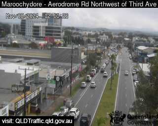
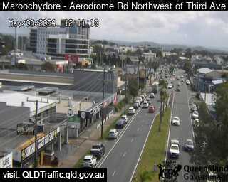
Maroochydore, Australia - 22.5 miles from Kenilworth: Aerodrome Road, adjacant to Caltex Service Station (looking north) - A view of the current traffic conditions.
Operator: Queensland Government - Department of Transport and Main Roads
Operator: Queensland Government - Department of Transport and Main Roads


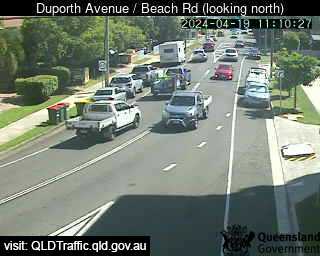
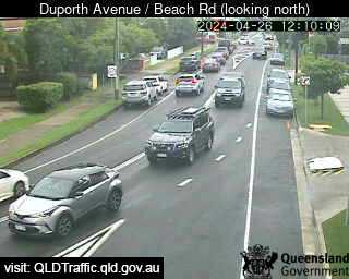
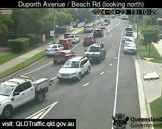
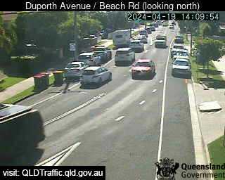
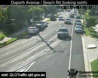
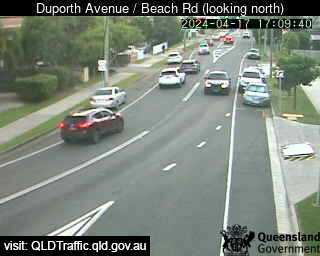
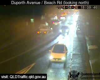
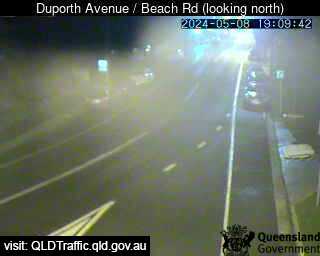
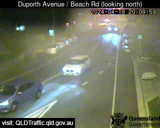
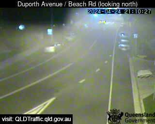
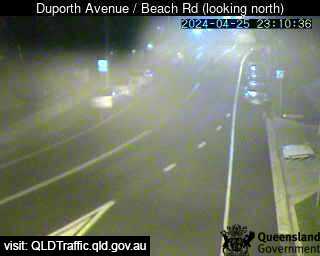
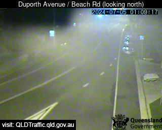
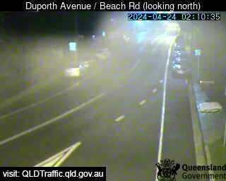
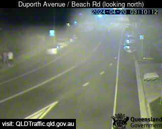
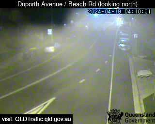
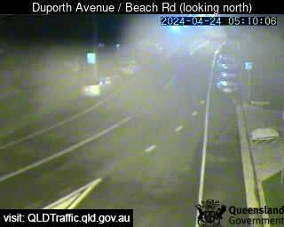
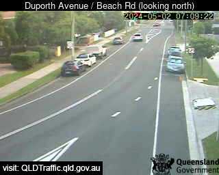
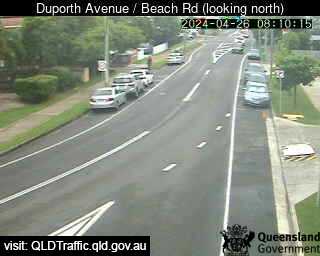
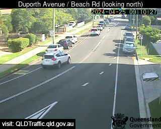
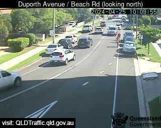
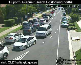
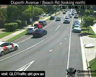
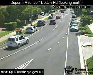
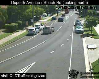
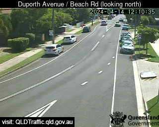
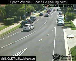
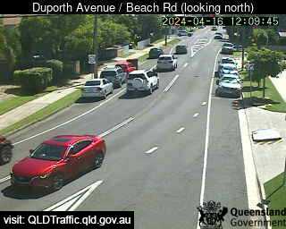
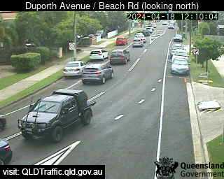
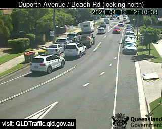
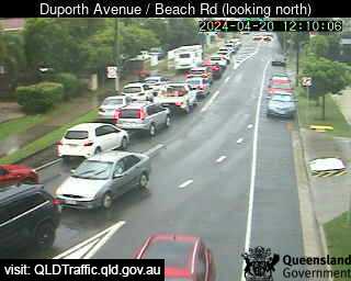
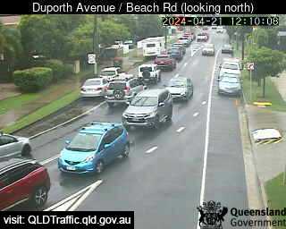
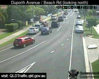
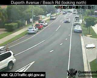
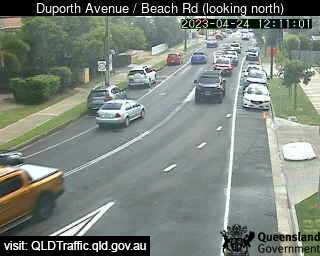
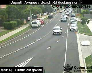
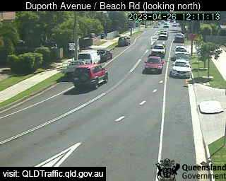
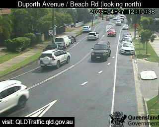
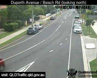
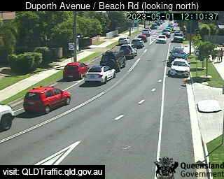
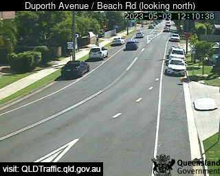
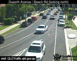
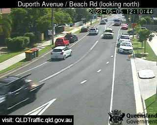
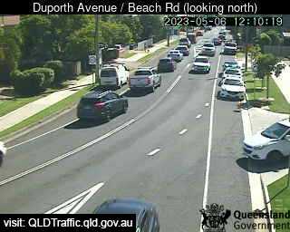
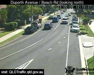
Maroochydore, Australia - 22.5 miles from Kenilworth: Duporth Avenue / Beach Road (North) - A view of the current traffic conditions.
Operator: Queensland Government - Department of Transport and Main Roads
Operator: Queensland Government - Department of Transport and Main Roads


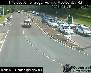
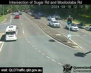
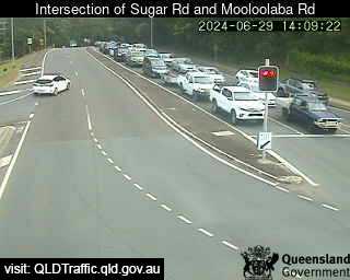
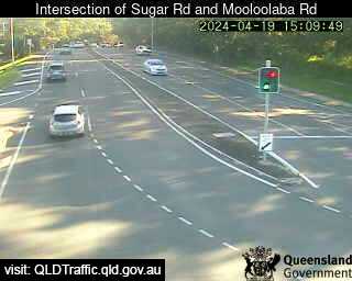
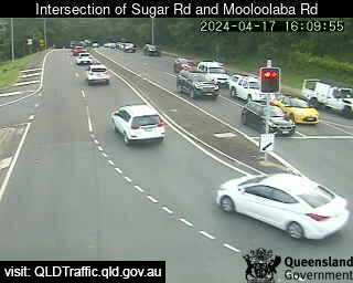
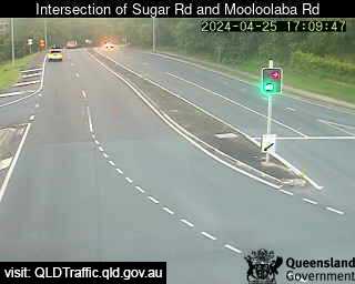
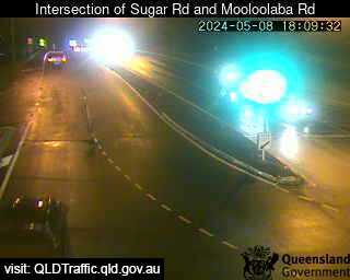
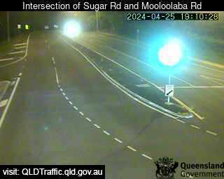
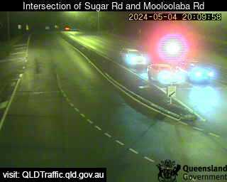
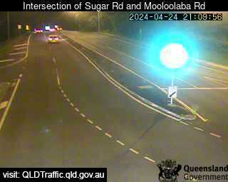
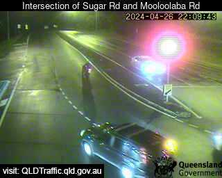
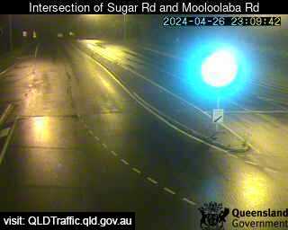
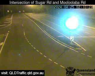
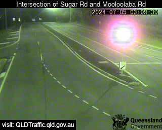
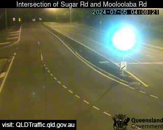
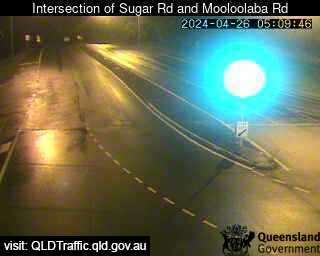
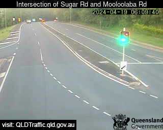
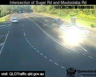
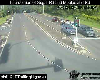
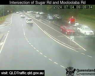
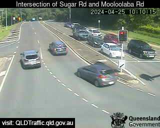
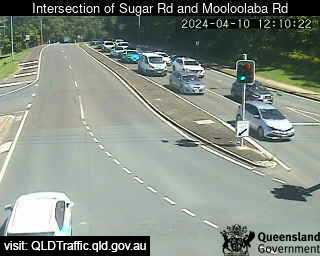
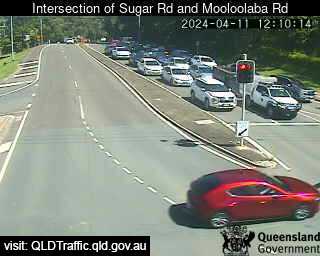
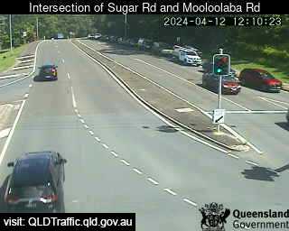
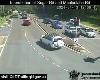
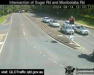
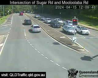
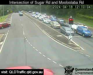
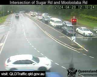
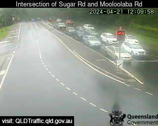
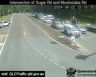
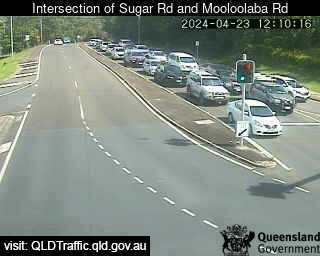
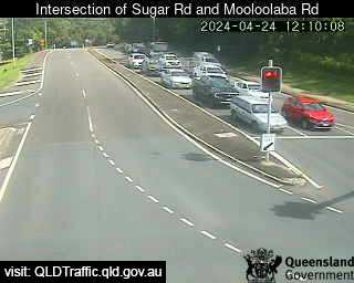
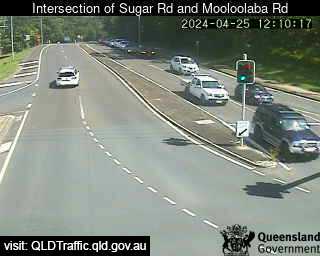
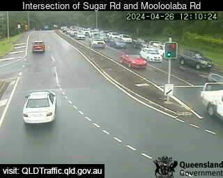
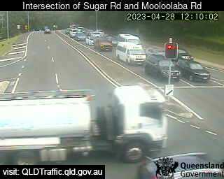
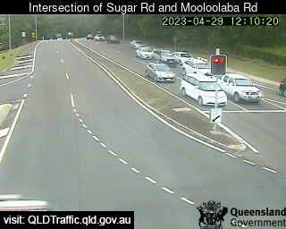
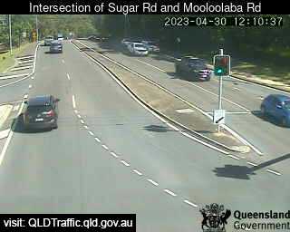
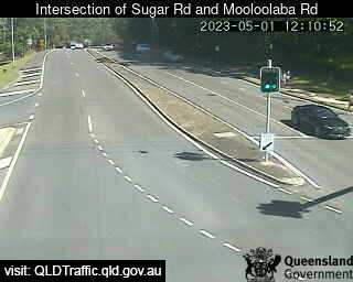
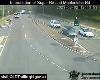
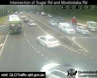
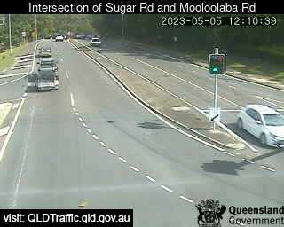
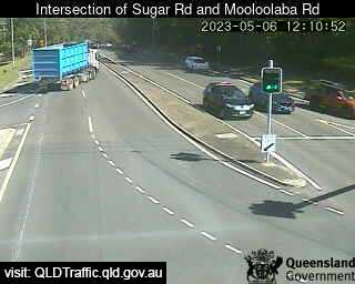
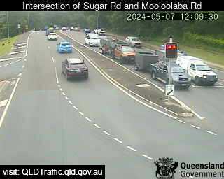
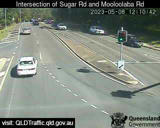
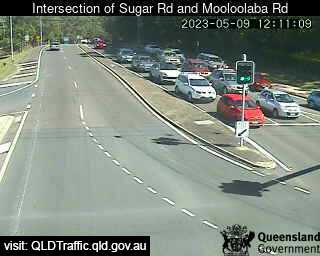
Alexandra Headland, Australia - 23.7 miles from Kenilworth: Intersection of Sugar Road and Mooloolaba Road (North-East) - A view of the current traffic conditions.
Operator: Queensland Government - Department of Transport and Main Roads
Operator: Queensland Government - Department of Transport and Main Roads


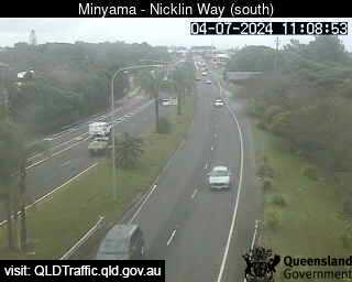
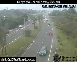
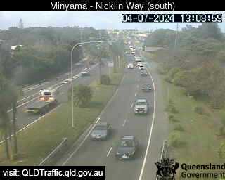
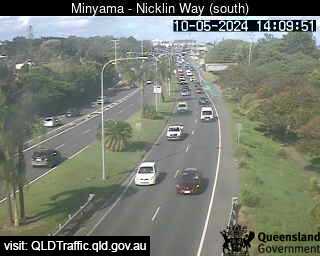
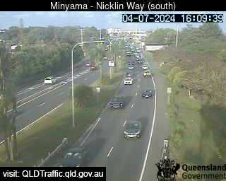
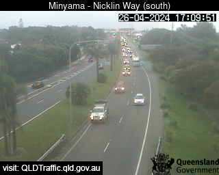
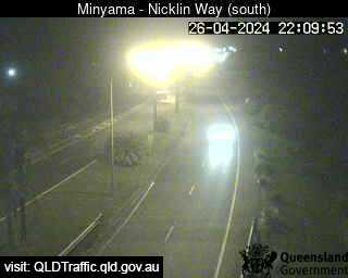
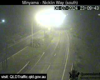
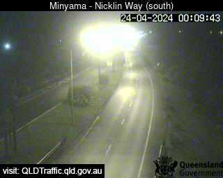
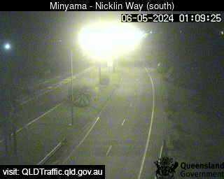
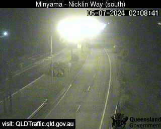
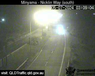
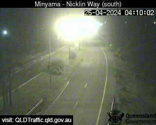
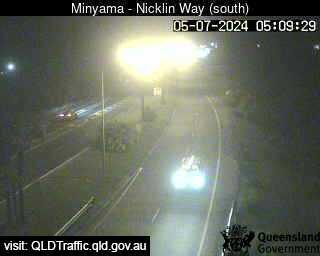
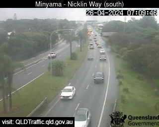
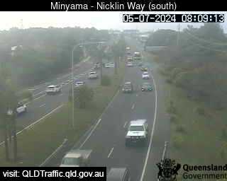
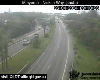
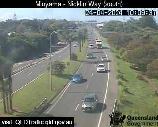
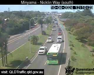
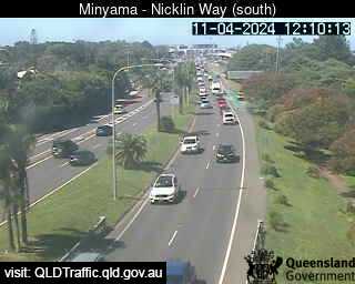
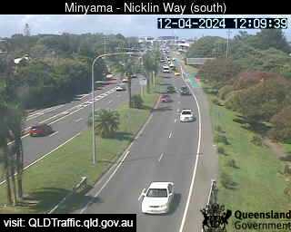
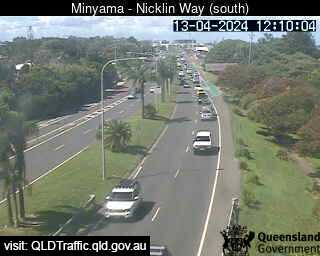
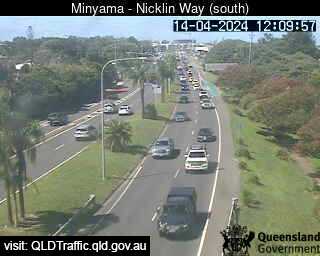
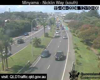
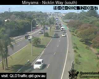
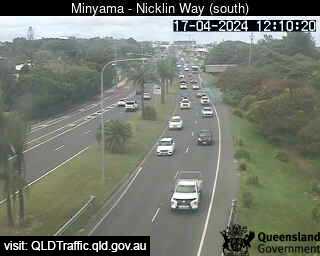
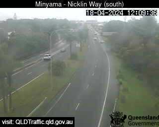
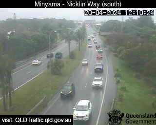
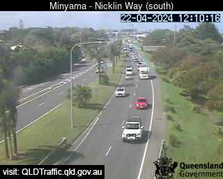
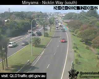
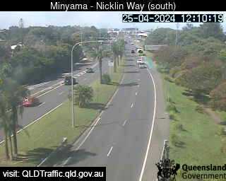
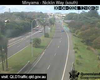
Minyama, Australia - 25.5 miles from Kenilworth: Nicklin Way, looking south towards Jessica Boulevard - A view of the current traffic conditions.
Operator: Queensland Government - Department of Transport and Main Roads
Operator: Queensland Government - Department of Transport and Main Roads


Some other places in this country: Kendall - Kenmore - Kennington - Kensington - Kensington - Kensington and Norwood - Kenthurst - Kentville - Kenwick - Keon Park